Photographing the pipeline route, Part 3: More Hopewell, NJ and Baldpate Mountain

Part 3 of the pipeline route pictures stays in Hopewell NJ.  This includes some views of the route going up Baldpate Mountain and through a number of very sensitive areas.

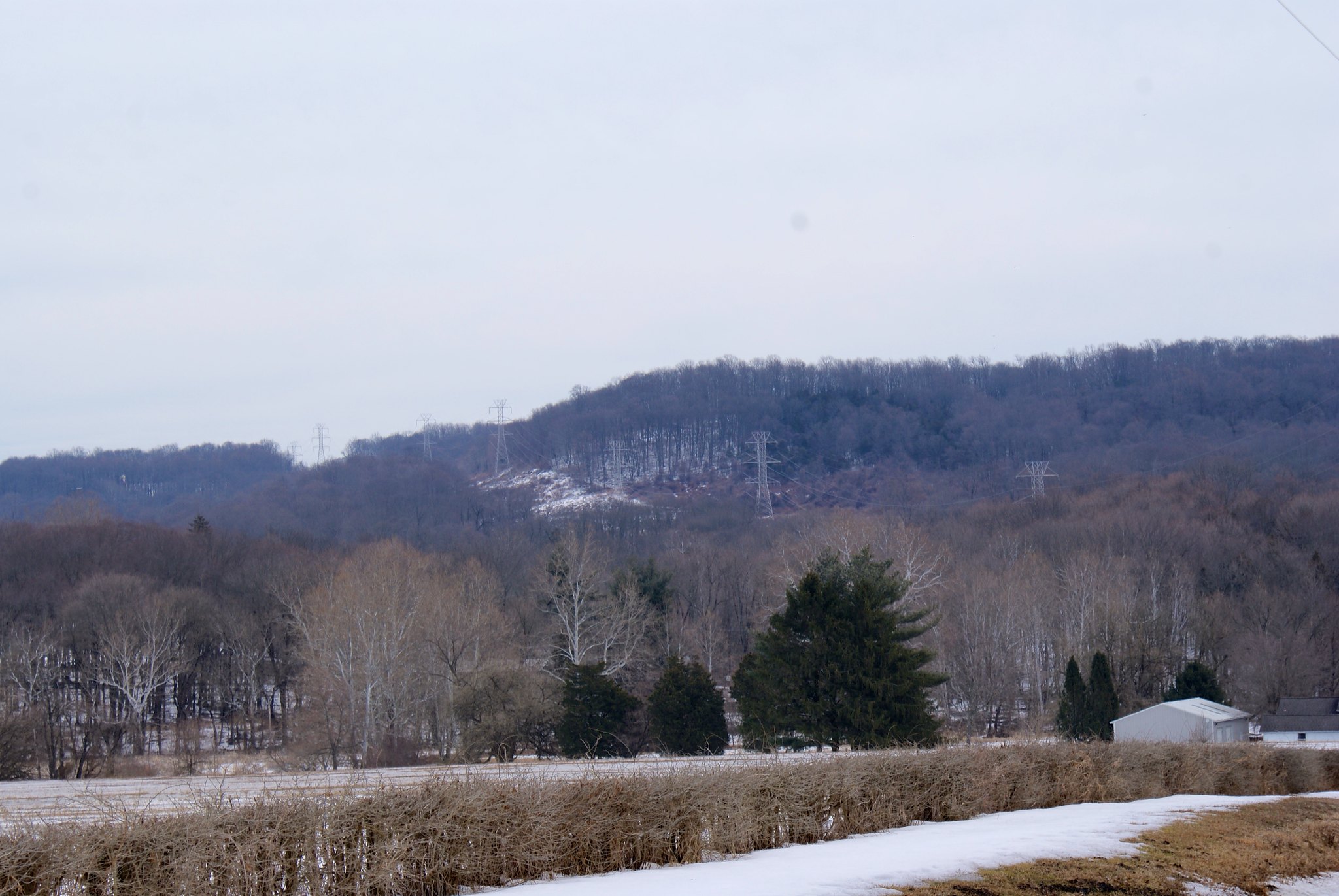
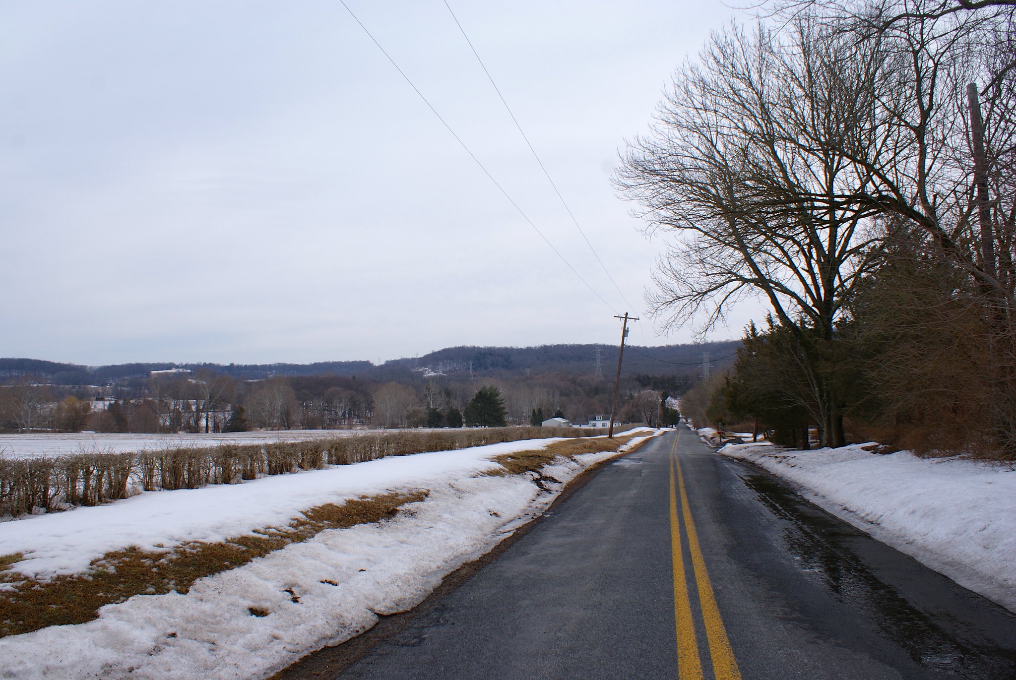
Valley Road next to Howell Living History Farm
This shot is looking down Valley Road towards Pleasant Valley Road. On the right is the Howell Living History Farm. This is a Mercer County owned farm that’s dedicated to teaching about farming techniques used centuries ago. They do real farming and have a great deal of live stock on site as well.

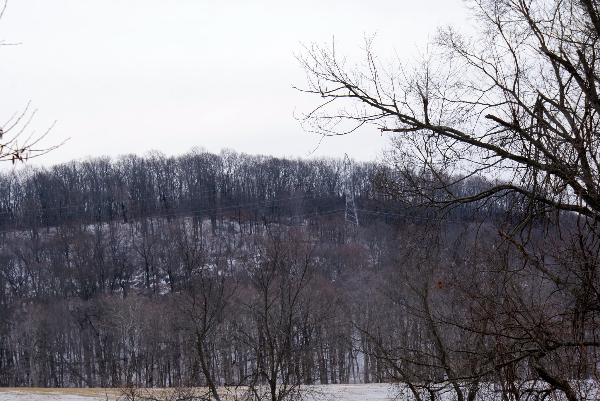
In the distance you see the electrical towers marching up Baldpate Mountain, where the pipeline is proposed to go as well. Baldpate is an ecologically unique feature in New Jersey due to its location and geography.

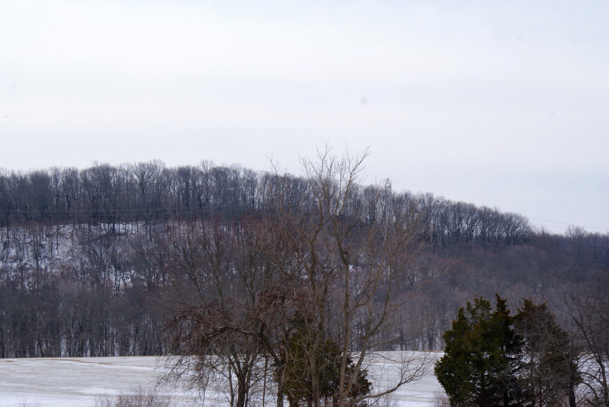
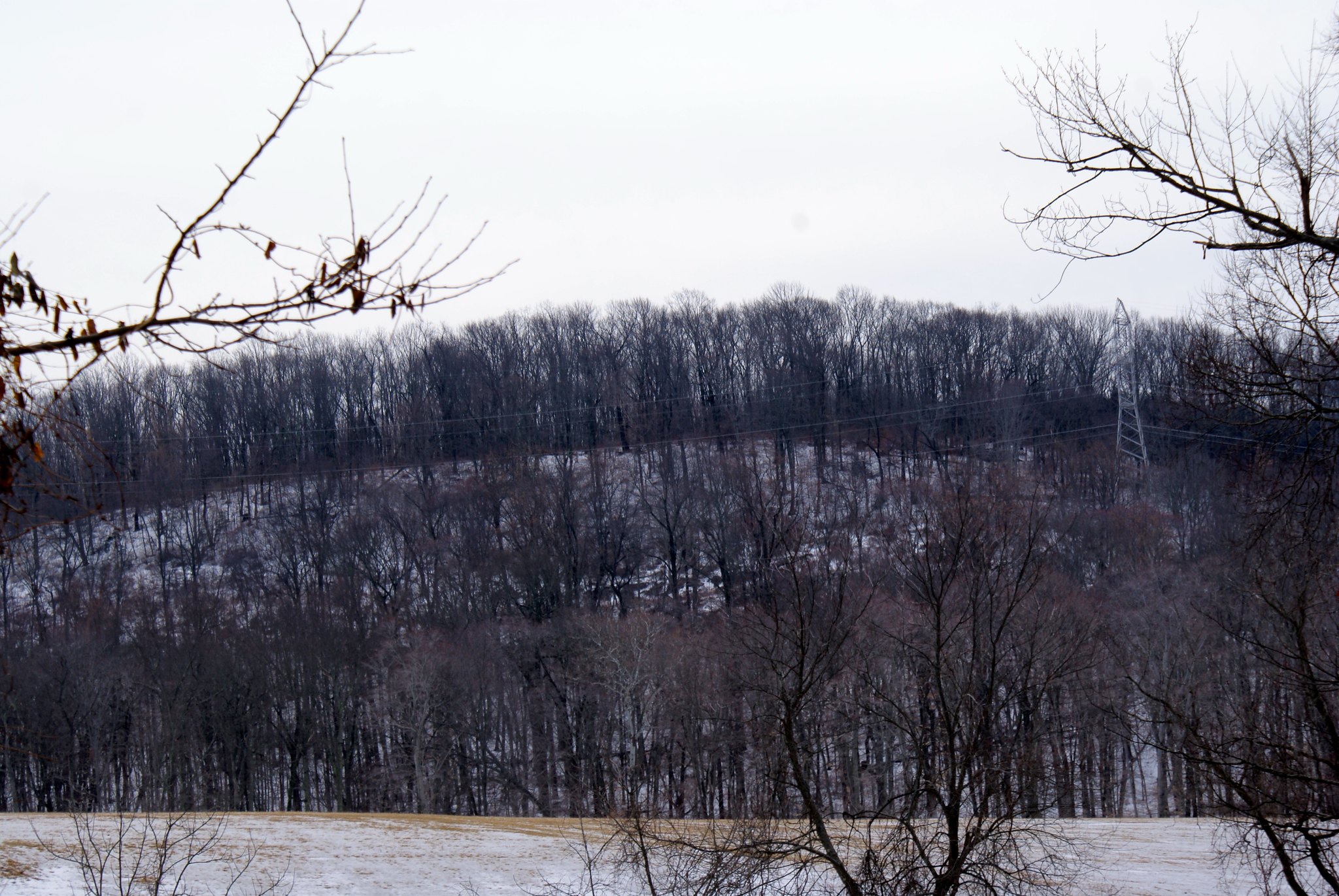
Valley Road Closeup of Baldpate site
Here I zoomed in on the towers going up Baldpate. This is a somewhat rugged area and the diabase bedrock is within just a couple of feet of the surface. In some areas it’s at the surface. They’d need to blast to get the pipeline down to the required 8′. As you can see in this shot the slopes are not just in the line of the power lines but in some cases perpendicular to the lines as well. To fit the pipeline in they’re going to have to widen the power line easement cut significantly (because you can’t put the pipeline right under the towers).

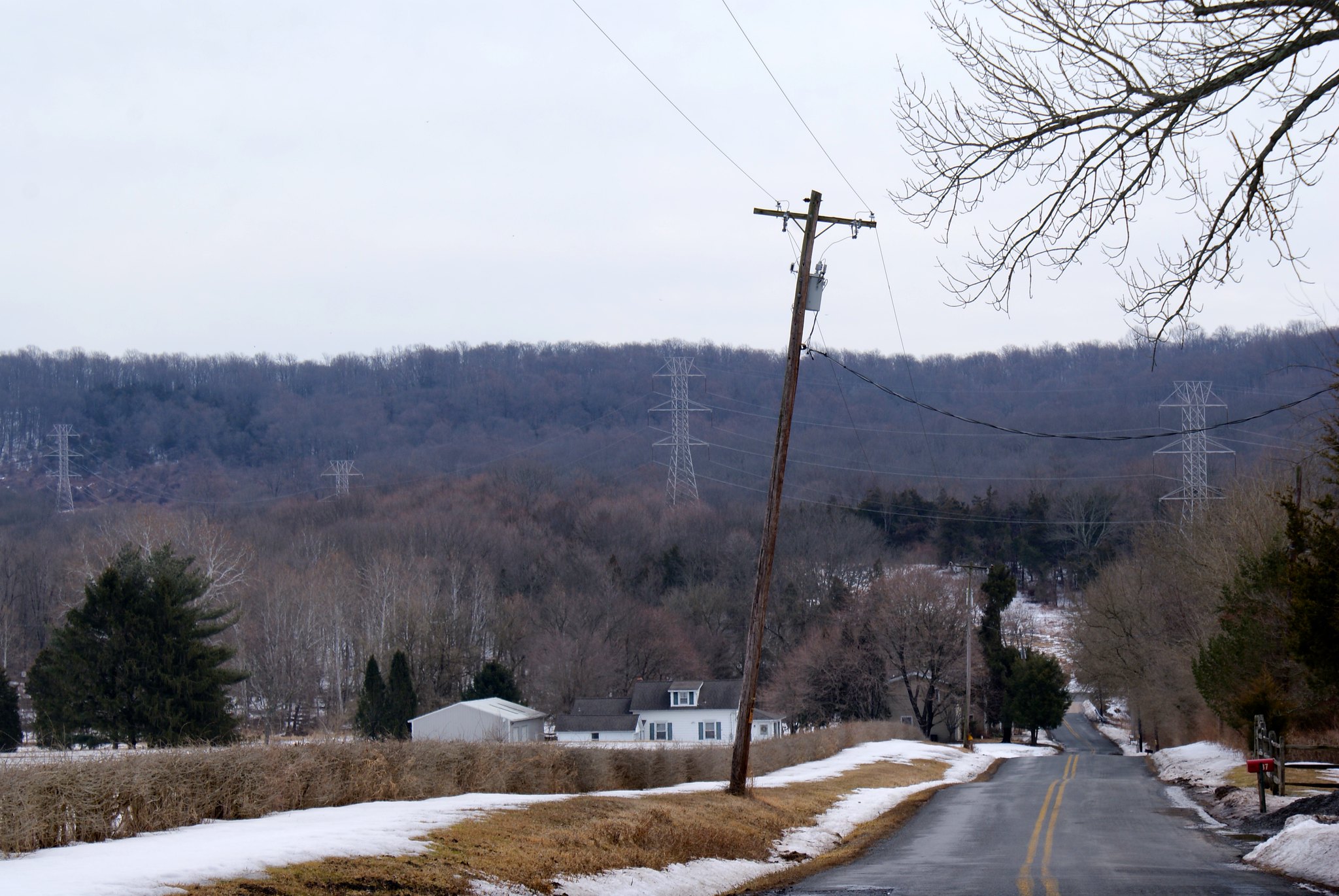
Valley Road near Pleasant Valley Road
This is near the intersections of Valley Road and Pleasant Valley Road. On the left is still Howell Living History Farm. As you can see the pipeline will be running just a few hundred yards from the farm. You can’t see it here but it also is crossing Moore’s Creek and crossing right at the intersection of the two roads.

We’re swimming in an ocean of “bad” if the pipeline goes through here. Construction will be bad for the farm. Running through or under Moore’s creek is a very, very bad idea. It’s a category 1 stream that ends in the Delaware river, and carries a lot of water when it rains or we have snow melt. They’re going to be blasting around here, distributing material all over. Then going up the side of Baldpate they’ll be disturbing the ecology and worsening run off.

Baldpate is a preserved state park and they’re running right over it.

Pleasant valley road
A view from Pleasant Valley road of the towers and route. Sorry for the poor quality, that was through my truck’s windows.

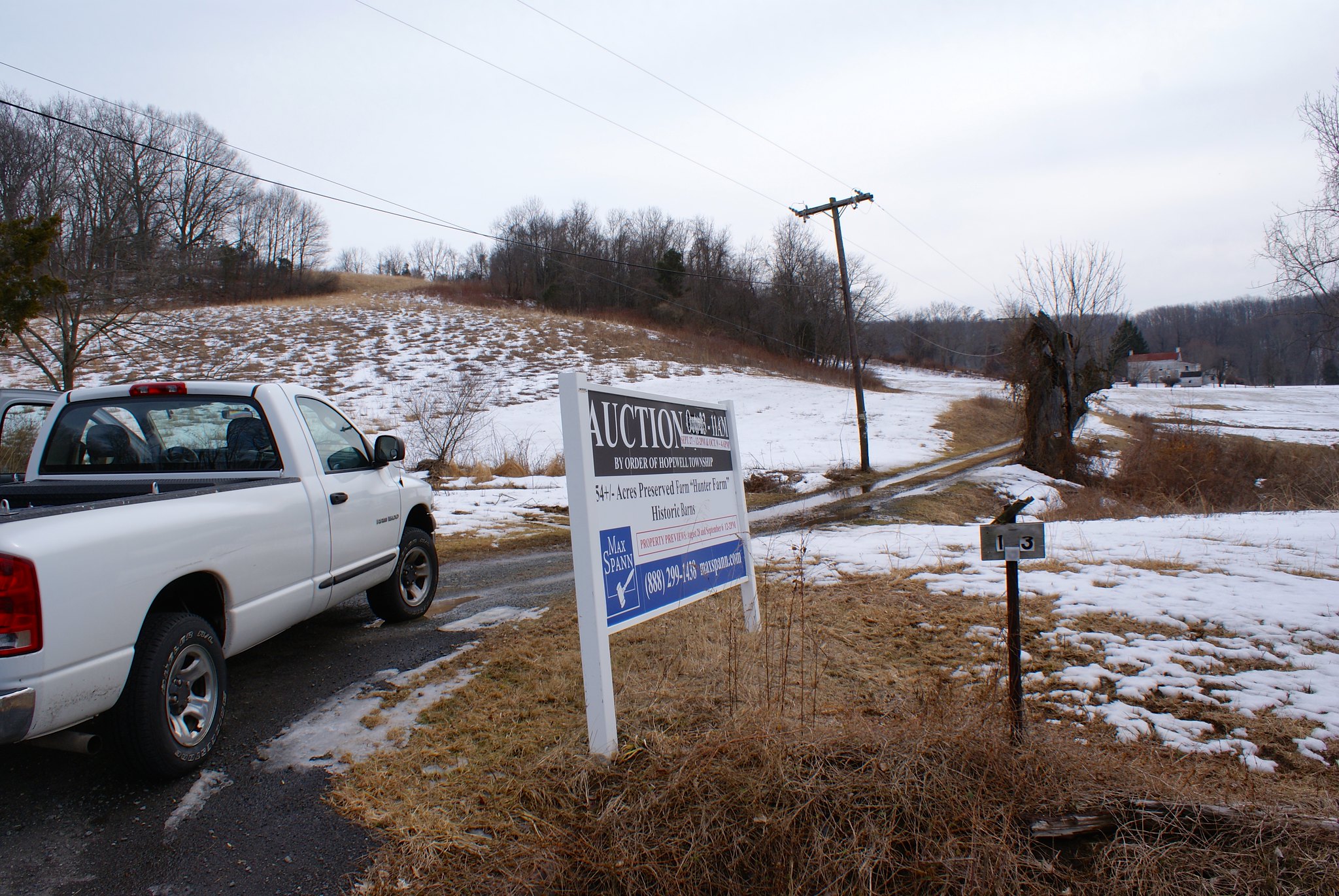
Pleasant valley Road, the Hunter Farm
This is one of a few Hunter farms in the area 🙂 This one as you can see is a 54 acre preserved farm with historic barns on the property. You can’t see it here but the pipeline will be running right through this historic farm.

Pleasant Valley Road, Towers going up Baldpate
A view of the towers marching along Baldpate.

Pleasant Valley Road – Closeup
A closeup of the previous shot

Pleasant Valley Road – Closeup
Another closeup of the previous shot

Pleasant Valley Road and Valley Road
This is the intersection of Pleasant Valley Road and Valley Road. You can see the power lines going right over head. You can see them crossing Moore’s Creek here and then running right through the intersection. It’s right next to a bridge that already has sustained some damage from all the ice we’ve had the past couple of winters.

Valley Road – Closeup of Moore’s Creek
This is a closeup of the Creek from the Valley Road bridge. As you can see it’s brown and swollen from the rain and snow melt run off.

Pleasant Valley Road View up slope
A view of the towers and pipeline route at the intersection.

Pleasant Valley Road closeup of tower
A closeup of one of the towers to give you a notion of how big they are. The easement is only 100′ wide and PennEast needs to stay about 25 feet away from the base. I’d ball park these towers as around 30 feet wide at the bottom. That means for PennEast to create it’s construction zone 100′ wide, it’ll have to clear cut an extra 40 feet or so on one side. So they’ll be widening the size of the cut by almost 50% more than we have today.

Pleasant Valley Road and Valley Road closeup
Closeup of the sign and looking to the west.

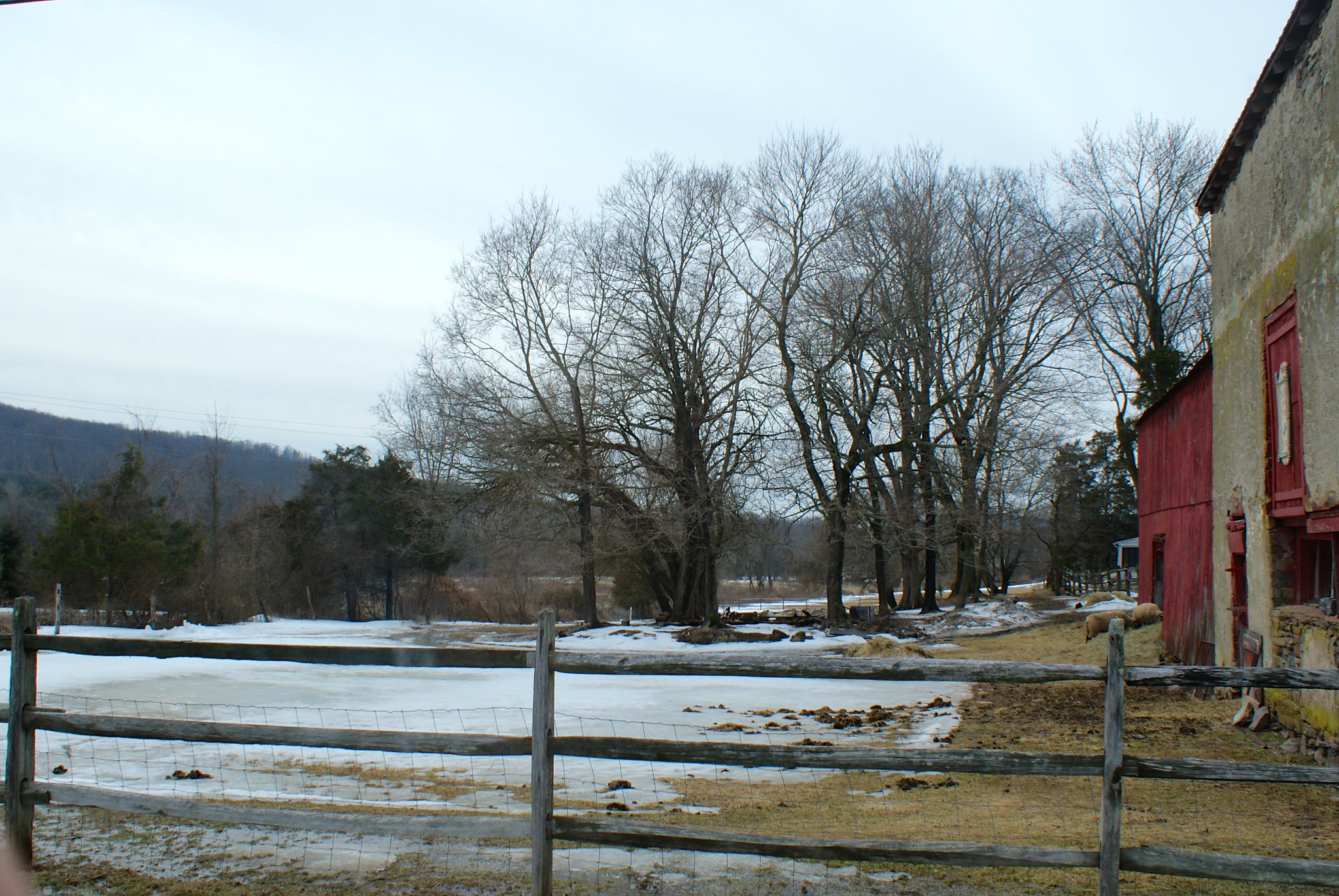
Valley Road – Sheep Farm
This is a sheep farm that’s on Valley Road. The pipeline will be running across the middle of the entire farm. If you look closely you can see the sheep on the bottom right.  There are other farms along here that you can’t see which you can only get to via an access road. The pipeline is going to cut right across that access road, cutting off people from their farms.

Flammable gas pipelines and quarries – a match made in heaven, am I right?

Stephen from Stockton NJ tells us about the Trap-Rock quarry in Delaware Township. The pipeline will be running within a few thousand feet of it…where they routinely use blasting. And where, as many have pointed out, the ground is predominantly diabase, a very hard rock that transmits vibrations (e.g. like those from blasting) surprisingly long distances.

I am opposed to the obviously short-sighted reliance and expansion of our dependence on the climate-changing fossil fuels transported by the proposed Penn-East pipeline (PF-15.1). The safety issue raised by putting this pipeline so close to the active Trap-Rock quarry in Delaware Township NJ must be seriously addressed before the committee can consider accepting the plan. Both the original route and the newly presented alternate route come within a few thousand feet of the quarry, where blasting of the bedrock occurs. The blasts create seismic vibrations along the diabase bedrock that extends well into the proposed pipeline routes near the quarry. the harder the bedrock, the greater the transport of the seismic energy.

Surprisingly, the alternate route remains closer to the blast site for an even longer distance than the original route. Both routes are unacceptable, as is the whole short-sighted pipeline concept. Peak particle velocities (PPV) are high enough that residences along this bedrock within a few thousand feet from the quarry blast sites are significantly shaken by the blasts. The proposed pipeline routes are at a similarly close distance to the quarry and on the same bedrock formation.

Within a few years, these seismic vibrations will create local stresses and strains on the pipeline and welds, allowing for formation of defects that will enhance subsequent corrosion. Obviously, this will significantly increase the probability of cataclysmic rupture of the pipeline.

The developers of this project ignore this problem but realize that the probability of pipeline failure is significant enough to become an LLC so as to protect themselves. Who will protect the other Americans along these routes, or are some just ‘collateral damage’? Co-locating the pipeline near blast sites is a ridiculously short sighted endeavor. We have seen no indication of real-time surveillance of pipeline integrity during pipeline usage.

How has the committee assessed the problem of the co-location of the pipeline near a blast site? Are there specific seismic measurements along the route near the quarry? How does the planned expansion of the quarry fit into the future safety of the pipeline? Is there an assessment regarding multiple years of seismic activity caused by the blasts on the integrity of the pipes and welds? The land in the area of the pipeline near the quarry, between Brookville Hollow road and Lambertville-Headquarters road, is diabase and a poor drainage area. What is the effect of long term water exposure in the wet soil on pipeline and weld durability, especially after damage caused by the seismic quarry-initiated vibrations? What is the shut-off time if a rupture occurs? Will it be similar to 1.5 hours seen in the San Bruno explosion? Has the committee done its due diligence in protecting the public and ensuring the long-time viability of this precarious venture?

I know this quarry! You can see it on the D&R Canal tow path between Stockton and Lambertville, my wife and I take our dogs walking on their regularly.

Here it is on Google Earth in relation to the pipeline survey corridor:

As you can see Stephen is correct, the pipeline passes within 3,500 feet of the pipeline.

There’s another active quarry near me where the pipeline also will be passing – the one by Baldpate mountain:

This one is 3,100 feet from the pipeline route.

Why would you place a pipeline that close to blasting sites? And then double down by putting the pipeline into hard bedrock that’s going to transmit those blasts highly efficiently right to your pipeline welds?

Stephene’s submission is below:

Stephen from Stockton – original submitted text

Stephen from Stockton – original submitted text Alternate Site

Blasting concerns in Baldpate and Belle Mountain areas

It may not be widely known that for large portions of the PennEast route mere “digging” isn’t going to cut it. The route is going through very mountainous terrain with rock formations exposed right at the surface. Drive around West Amwell, Lambertville, and Hopewell township and you’ll see what I mean. Exposed rock everywhere! Driving along route 29, or route 518, or even on 202 near the Delaware river bridge and you’ll see the stone formations. They’re actually quite beautiful in the winter as small water falls freeze in place on the walls. If you’re not from the area think of the NJ palisades, those are made of the same stuff.

What you’re seeing is diabase, which is what makes up the bulk of the Sourland mountains. Goat Hill, Belle Mountain, and Baldpate are all made of diabase.

As I said, digging isn’t going to cut it for installing a pipeline. So they’re going to have to blast out the rock.

William and Dorothy of Hopewell, NJ tell the FERC why it’s a very, very bad idea to do this.

We are writing to voice our concerns regarding the proposed PennEast pipeline. The PennEast pipeline is one of more than ten pipelines being proposed to supply gas to New Jersey, a state already well supplied with natural gas. The two routes proposed by PennEast are particularly detrimental for Hopewell Township and neighboring townships to its north. The original route sought to minimize disturbance of private landowners by traversing public lands where possible. This route disregarded the fact that many of these environmentally sensitive lands had been specifically purchased to protect forests and the wildlife therein. The second route would traverse sensitive lands north of Hopewell Township but within the township. It would co-locate with an existing JCP&L high tension right of way to minimize environmental disturbance. However, that route would necessitate passing near Belle Mountain and then crossing Baldpate Mountain. Both formations are comprised of diabase extending more than 1000 feet below the surface. This particularly hard rock will require significant blasting to excavate an 8-10 foot deep trench that would be required to safely bury a 36 inch pipe.

Our concern is the potential consequences of the blasting. Vibrations are transmitted very efficiently through this diabase over unexpectedly long distances. As an example, at present we feel the vibrations from the blasting at the Trap Rock mine which is more than two miles away on Route 29.

Based on this ongoing experience, we anticipate even stronger vibrations arising from construction of a pipeline trench within 0.25-0.5 miles of the houses along Pleasant Valley Road even if well designed explosive charges are employed. Depending on the structural integrity of the diabase, the vibrations of the blast can be very efficiently transmitted to neighboring houses causing structural damage. Such damage could be manifested by cracking of foundations, tiled surfaces, plaster walls or swimming pools.

Even more troubling is the potential for the blasting vibrations to adversely impact the wells of the homes along Pleasant Valley Road and Valley Road. In this area all homes and farms depend on well water. Unlike wells which draw from alluvial aquifers, these wells are low yielding because they depend on ground water recharge which is delivered through existing sporadic fractures in the diabase. Depending on how the fractures respond to the blast vibrations, the water output of these wells could be increased, decreased or stopped entirely. Failure of a well would be devastating for a homeowner.

Drilling a replacement would be expensive since these wells typically are several hundred feet deep. In addition the new bore may not be successful since the source is not an aquifer but rather a chance pocket of water.

The potential economic benefits for construction of a new single-sited pipeline do not compensate for the impact on the New Jersey communities through which it passes. Here we alert FERC to the issue of blasting vibrations and well viability that is directly related to the underlying geology of the area through which the pipeline passes. After consideration of these environmental and geological concerns, we hope that you will reject the PennEast pipe line proposal.

Their submission is below:

William and Dorthy’s submission – FERC Generated PDF

William and Dorthy’s submission – FERC Generated PDF Alternate Site

More on Baldpate Mountain

C. Sharyn Magee, President of the Washington Crossing Audubon Society, wrote to the FERC backing up the formal submission from her organization:

Because of the extreme ecological sensitivity of Baldpate Mountain, Washington Crossing Audubon Society opposes routing the PennEast pipeline through the JCP&L power line cut that bisects Baldpate
Mountain. An outlier of the Sourland Mountains, Baldpate Mountain contains some of the richest biodiversity in New Jersey. Southern and northern species meet at Baldpate, enriching the flora and fauna. Due to the high quality habitat and the mingling of southern and northern species, Baldpate Mountain has the highest concentration of breeding Neotropical migrants in New Jersey. The thirty-one Neotropical breeding breeding species include thirteen warblers and the Yellow-breasted Chat, two tanagers, three vireos and two Catharus thrushes. Four species are Audubon Watchlist species and twenty-three species are ranked by the American Bird Conservancy (ABC) as birds of conservation concern. An additional 1 39 species use Baldpate Mountain as a migratory stopover in spring and fall or are winter or permanent residents.

Because Baldpate Mountain is long and narrow, it is highly sensitive to disruption from activity on the power line cut that bisects the forest lengthwise. Of special concern is noise from blasting and construction that would penetrate deeply into the forest, interfering with vocal communication between birds at a critical time during the breeding season.

Extending the width of the power line cut would destroy or degrade adjacent breeding habitat along the length of the mountain. Because Baldpate breeding territories are saturated, these birds cannot move further back into the interior forest if disturbed. There is no place for the displaced birds to go. Blue- winged and Chestnut-sided Warblers, species of conservation concern that breed at the forest-power line ecotone, would be especially affected.

The blasting necessary to penetrate the extremely hard diabase substrate has the potential to affect the springs that feed the creeks that originate on Baldpate, disrupting their flow and the animals that depend on them, including the breeding Louisiana Waterthrush, a species of conservation concern.

Given the ecological sensitivity cf Baldpate Mountain, the power line cut should have never been placed there. A through biological inventory and environmental impact statement would dearly show why. The damage to Baldpate should not be compounded by allowing PennEast access for their pipeline.

To get an idea of what’s being described, here’s a google Earth terrain view of the pipeline route going through Baldpate Mountain:

As you can see the pipeline route is cutting right through the preserve along the power line easement – an easement that will also probably have to be widened. You can also see the how the route doesn’t bother to avoid steep slopes but instead just barrels along in a straight line up and down the mountain.

Due to the composition of the bedrock that makes up the Sourland mountains, including Baldpate, PennEast building crews would likely have to blast along much of the route, particularly on the slopes. This will compound the damage significantly both in terms of immediate ecological damage and long term issues such a worsening runoff from rain storms.

A mile or two away from Baldpate we also have the Swan Creek Reservoir, which serves as a primary source of drinking water for Lambertville, NJ. As with Baldpate, there are very steep slopes in this area that would likely require blasting. Take a look at where the pipeline route is in relation to the reservoir:

In fact, Google Earth shows that the pipeline study corridor is less than 200 feet from the reservoir:

Can you imagine blasting into bedrock and then custom welding a 3′ wide high pressure gas pipeline a couple of hundred feet from a drinking water reservoir?

C. Sharyn Magee – FERC Generated PDF

C. Sharyn Magee – FERC Generated PDF Alternate Site

Baldpate mountain’s unique ecology threatened

Baldpate mountain is right near our house. In fact you can see it from my backyard, it’s right across the valley from us. We’ve taken our Foxhound hiking there on the nature trails and absolutely love it.

The Washington Crossing Audubon Society posted a 20 page comment to the FERC site about the impact the pipeline will have to Baldpate and the surrounding Sourland mountains:

Washington Crossing Audubon comments – original image

Washington Crossing Audubon comments – Original image Alternate Site

Baldpate Mountain has been cited as a preferred alternate route because of the existing power line right of way. While using existing rights of way is generally a less environmentally disruptive option, the geology, environmental sensitivity and ecological uniqueness of Baldpate Mountain makes it a poor choice.

Because of the extreme ecological sensitivity of Baldpate Mountain, Washing Crossing Audubon society opposes routing the PennEast pipeline through the JCP&L power line cut that bisects Baldpate Mountain. An outlier of the Sourland Mountains, Baldpate Mountain contains some of the richest biodiversity in New Jersey. Southern and northern species meet at Baldpate, enriching the flora and fauna. Due to the high quality habitat, including areas of intact understory, and the mingling of southern and northern species, Baldpate Mountain has the highest concentration of breeding Neotropical migrants in New Jersey. The thirty-one Neotropical breeding species including thirteen warblers and the Yellow-breasted Chat, two tanagers, three vireos, and two Catharus thrushes. Twenty-eight breeding Neotropical migrant species are ranked by the American Bird Conservancy (ABC) as birds of conservation concern. Baldpate is also an important migratory stop for Neotropical birds. Fifty species of Neotropical migrants of conservation concern use Baldpate Mountain as a migratory stop. A total of 165 species have been report to erbium at Baldpate; sixty-one of these are ABC species of conservation concern that use Baldpate for breeding, a migratory stop or as part of a resident territory. The New Jersey threatened Long-eared Owl was winter roosts at Baldpate Mountain.

Because Baldpate Mountain is long and narrow, it is highly sensitive to disruption from activity on the power line cut that bisects the forest lengthwise. Of special concern is noise from blasting and construction that would penetrate deeply into the forest, interfering with vocal communication between birds at a critical time during the breeding season. Construction along the power line cut and especially extending the width of the power line cut would destroy or degrade adjacent breeding habitat along the length of the mountain. Because Baldpate breeding territories are saturated, these birds cannot move further back into the interior forest if disturbed. There is no place for the displaced birds to go. Blue-winged and Chestnut-sided Warblers, species of conservation concern that breed at the forest-power line ecotone, would be especially affected. Increasing the width of the power line cut would also extend the edge effect further into the core forest, allowing increased access for brown-headed cowbirds, a nest parasite, and invasive species. The ecosystem at Baldpate is intact but stressed, making Baldpate sensitive to new disturbances.

The blasting necessary to penetrate eh extremely hard diabase substrate has the potential to affect the springs that feed creeks that originate on Baldpate, disrupting their flow and the animals that depend on them, including the breeding Louisiana Waterthrush, a species of conservation concern.

….

The power line cut predicates the requirement for an environmental impact statement. Considering the ecological sensitivity of Baldpate Mountain, the power line cut should have never been placed there. A thorough biological inventory and environmental impact statement would clearly show wy. The damage to the fragile by intact Baldpate Mountain ecosystem should not be compounded by allowing PennEast access for their pipeline.

A Google Earth snapshot of Baldpate is shown below with the pipeline route highlighted in purple through it.