Part 3 of the pipeline route pictures stays in Hopewell NJ. This includes some views of the route going up Baldpate Mountain and through a number of very sensitive areas.
Valley Road next to Howell Living History Farm
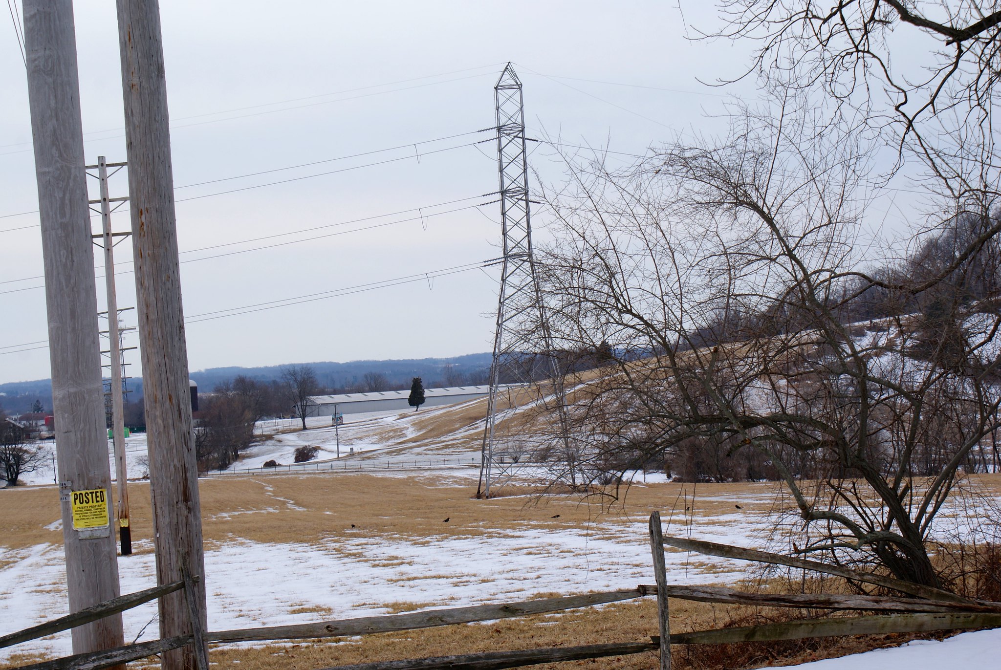
This shot is looking down Valley Road towards Pleasant Valley Road. On the right is the Howell Living History Farm. This is a Mercer County owned farm that’s dedicated to teaching about farming techniques used centuries ago. They do real farming and have a great deal of live stock on site as well.
In the distance you see the electrical towers marching up Baldpate Mountain, where the pipeline is proposed to go as well. Baldpate is an ecologically unique feature in New Jersey due to its location and geography.
Valley Road Closeup of Baldpate site
Here I zoomed in on the towers going up Baldpate. This is a somewhat rugged area and the diabase bedrock is within just a couple of feet of the surface. In some areas it’s at the surface. They’d need to blast to get the pipeline down to the required 8′. As you can see in this shot the slopes are not just in the line of the power lines but in some cases perpendicular to the lines as well. To fit the pipeline in they’re going to have to widen the power line easement cut significantly (because you can’t put the pipeline right under the towers).
Valley Road near Pleasant Valley Road
This is near the intersections of Valley Road and Pleasant Valley Road. On the left is still Howell Living History Farm. As you can see the pipeline will be running just a few hundred yards from the farm. You can’t see it here but it also is crossing Moore’s Creek and crossing right at the intersection of the two roads.
We’re swimming in an ocean of “bad” if the pipeline goes through here. Construction will be bad for the farm. Running through or under Moore’s creek is a very, very bad idea. It’s a category 1 stream that ends in the Delaware river, and carries a lot of water when it rains or we have snow melt. They’re going to be blasting around here, distributing material all over. Then going up the side of Baldpate they’ll be disturbing the ecology and worsening run off.
Baldpate is a preserved state park and they’re running right over it.
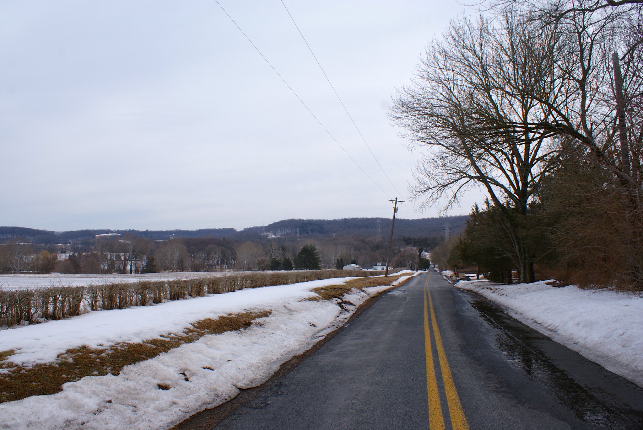
Pleasant valley road
A view from Pleasant Valley road of the towers and route. Sorry for the poor quality, that was through my truck’s windows.

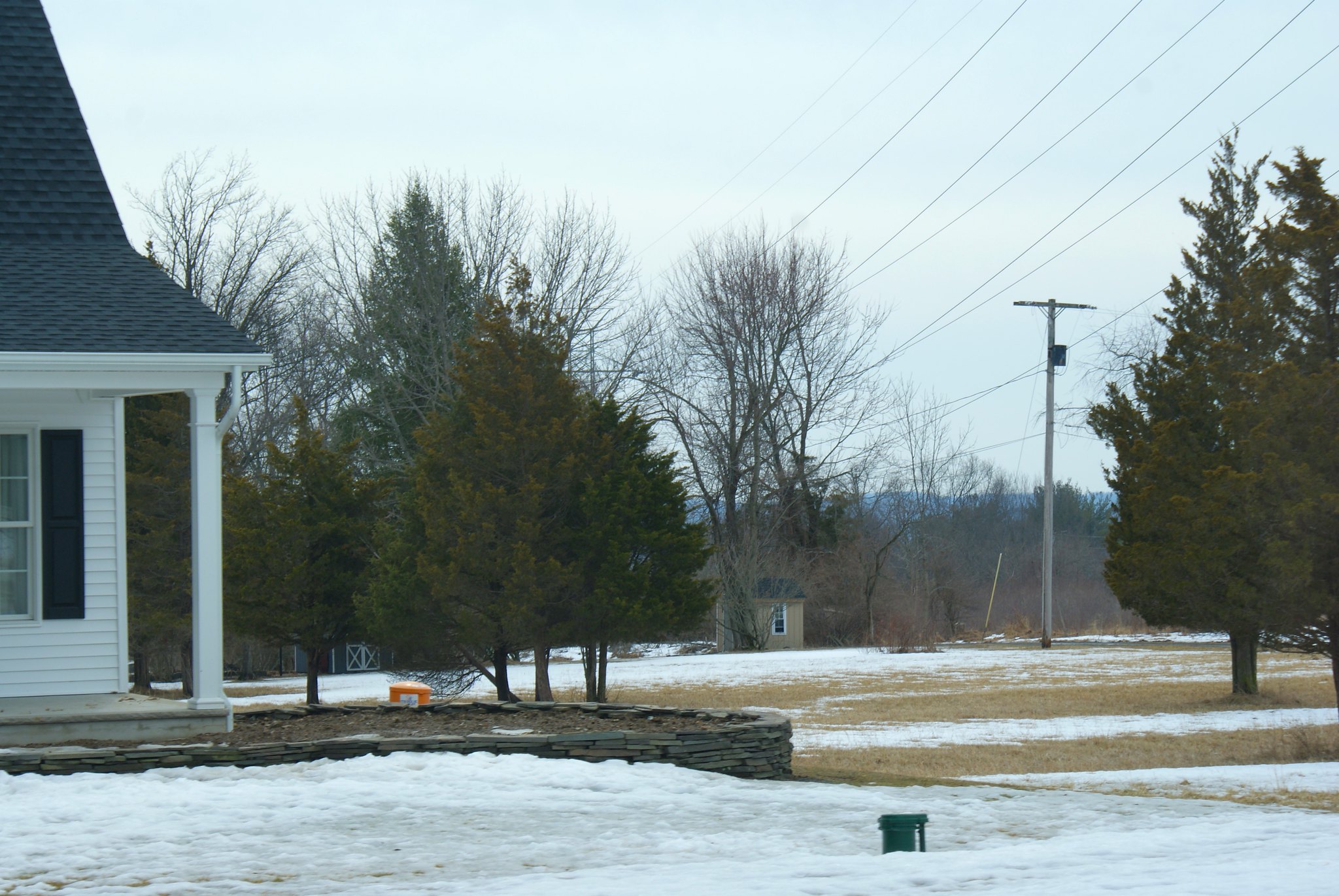
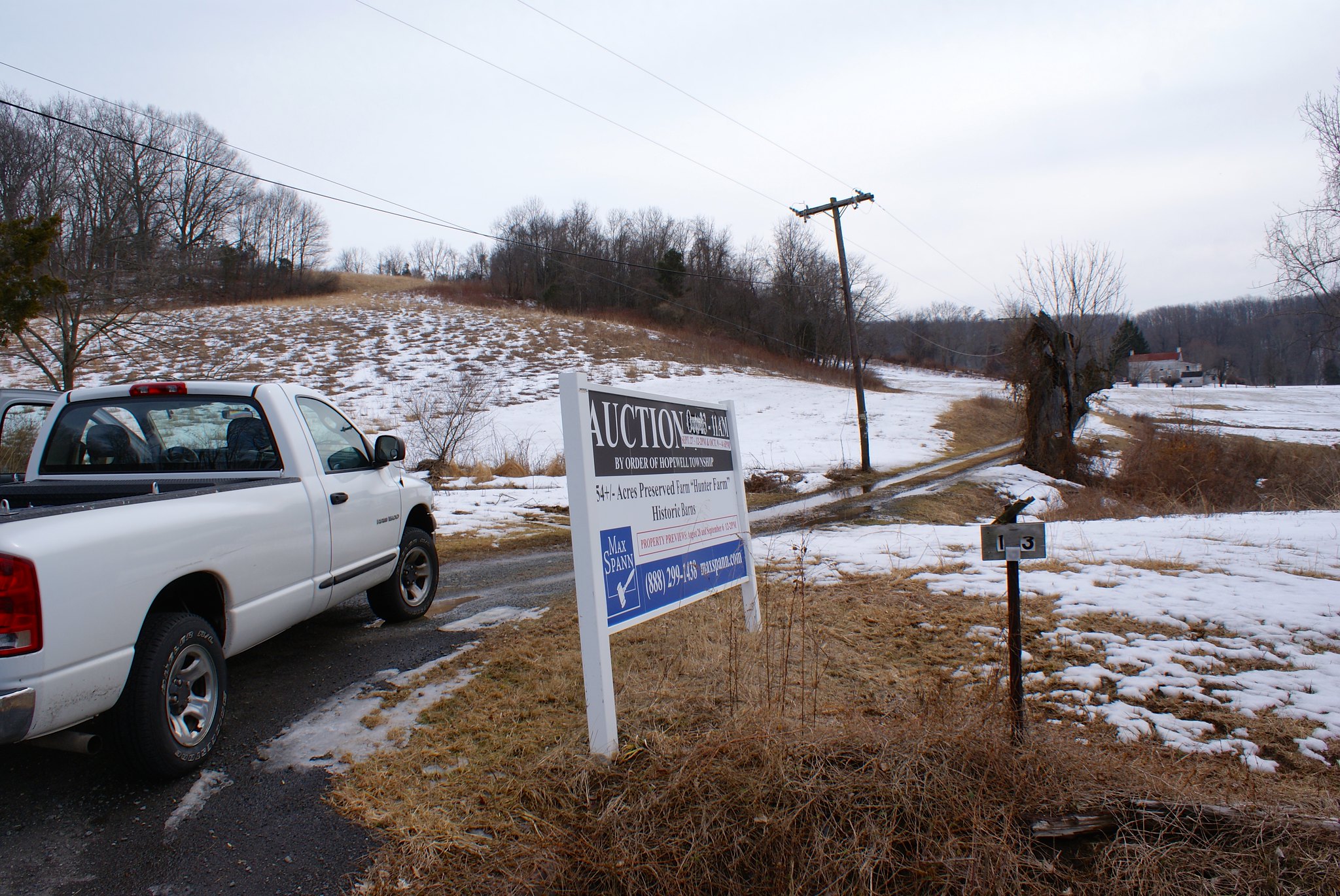
Pleasant valley Road, the Hunter Farm
This is one of a few Hunter farms in the area 🙂 This one as you can see is a 54 acre preserved farm with historic barns on the property. You can’t see it here but the pipeline will be running right through this historic farm.
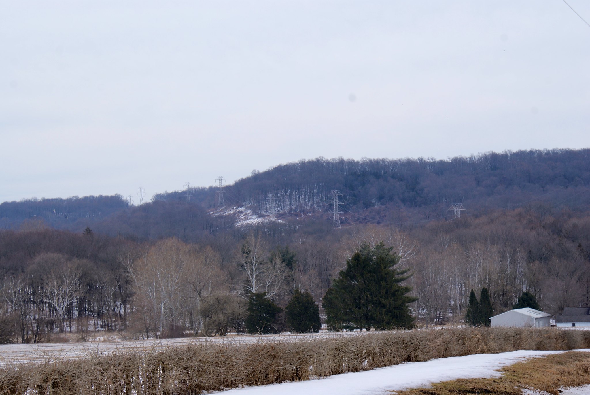
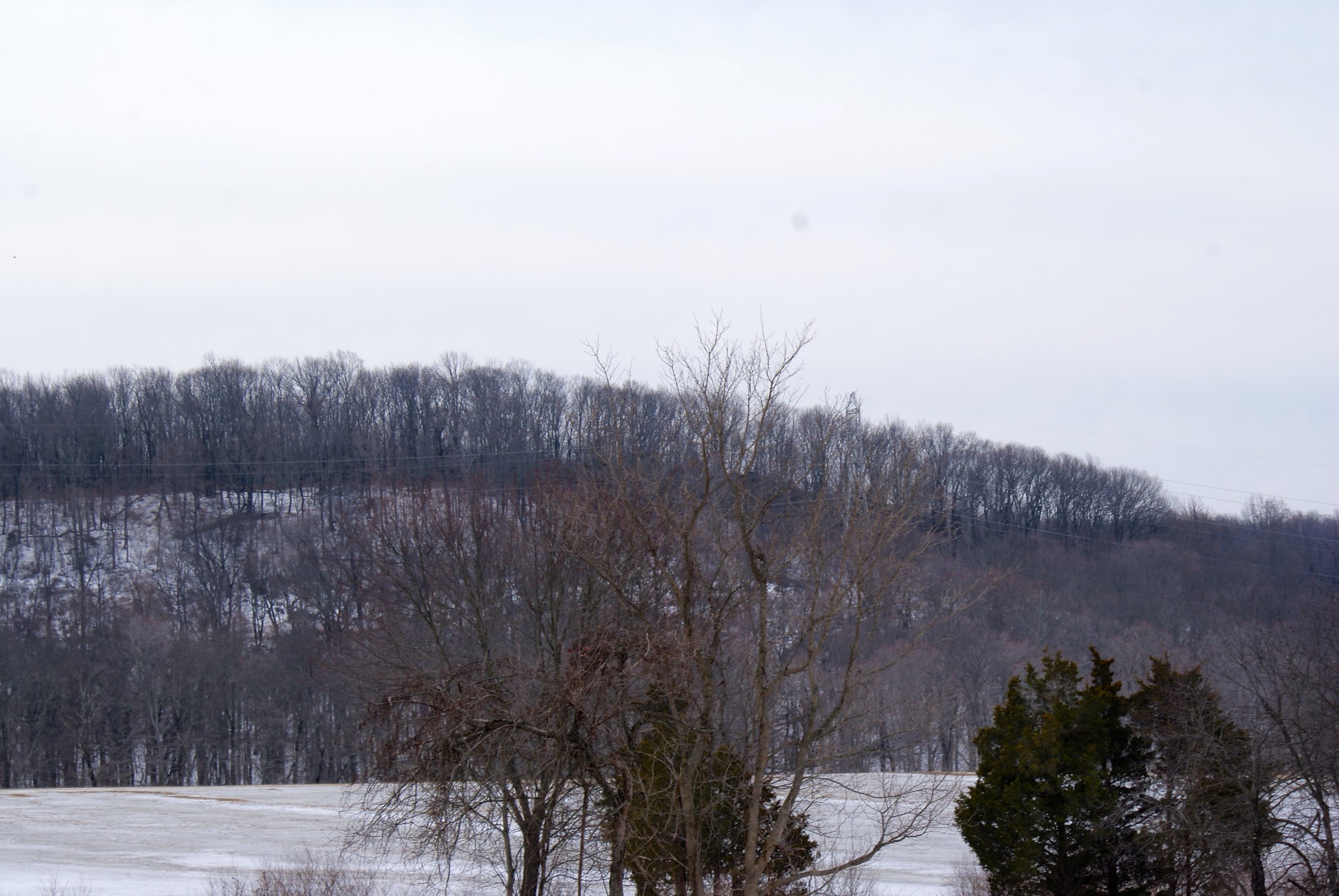
Pleasant Valley Road, Towers going up Baldpate
A view of the towers marching along Baldpate.
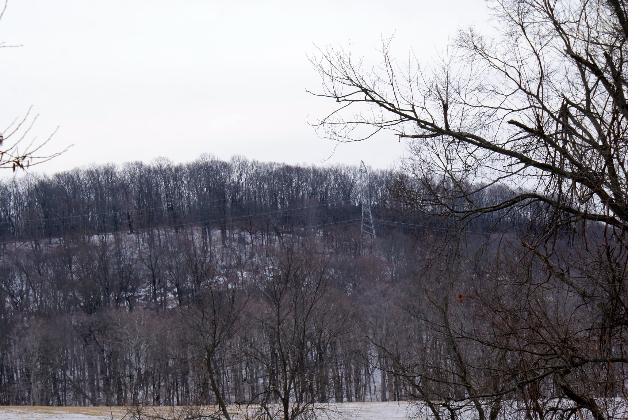
Pleasant Valley Road – Closeup
A closeup of the previous shot
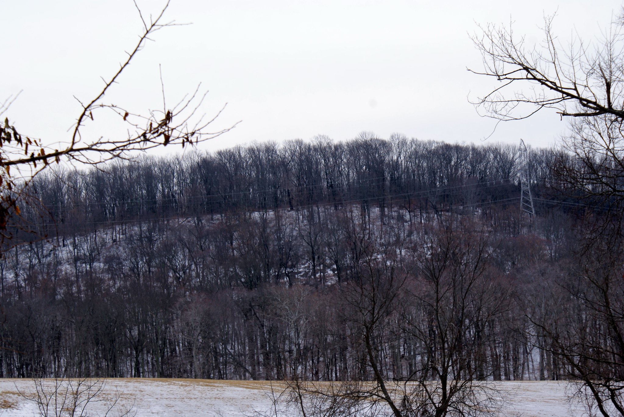
Pleasant Valley Road – Closeup
Another closeup of the previous shot
Pleasant Valley Road and Valley Road
This is the intersection of Pleasant Valley Road and Valley Road. You can see the power lines going right over head. You can see them crossing Moore’s Creek here and then running right through the intersection. It’s right next to a bridge that already has sustained some damage from all the ice we’ve had the past couple of winters.

Valley Road – Closeup of Moore’s Creek
This is a closeup of the Creek from the Valley Road bridge. As you can see it’s brown and swollen from the rain and snow melt run off.

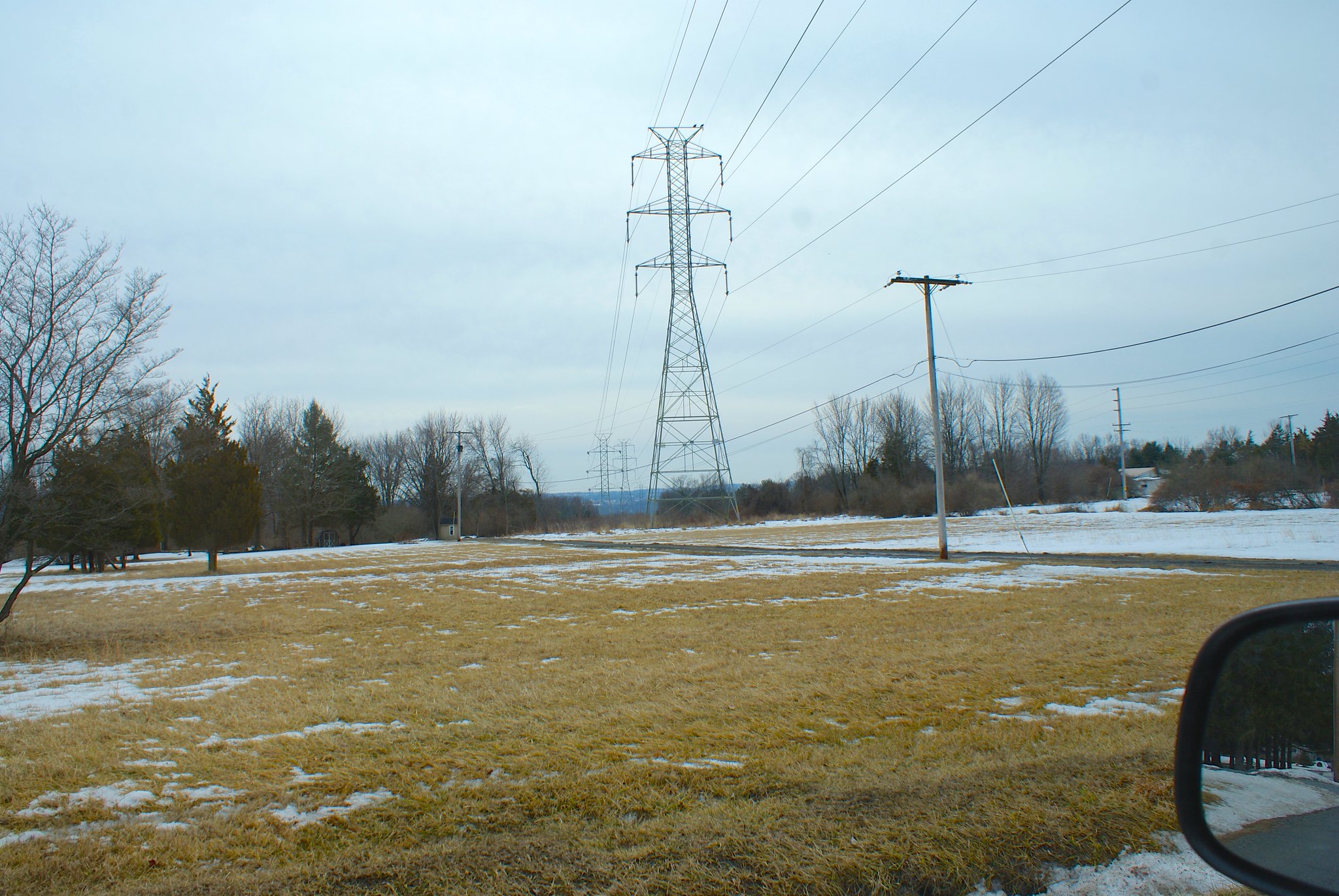
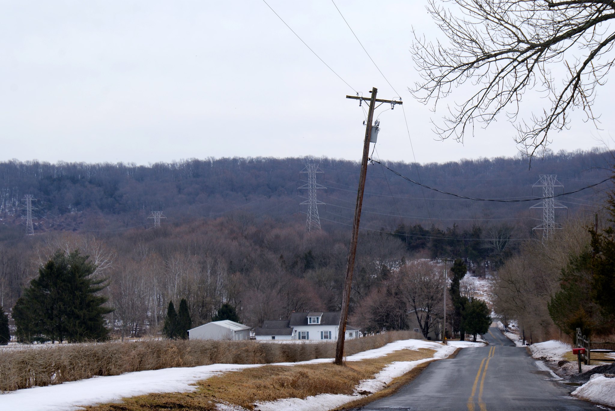
Pleasant Valley Road View up slope
A view of the towers and pipeline route at the intersection.

Pleasant Valley Road closeup of tower
A closeup of one of the towers to give you a notion of how big they are. The easement is only 100′ wide and PennEast needs to stay about 25 feet away from the base. I’d ball park these towers as around 30 feet wide at the bottom. That means for PennEast to create it’s construction zone 100′ wide, it’ll have to clear cut an extra 40 feet or so on one side. So they’ll be widening the size of the cut by almost 50% more than we have today.

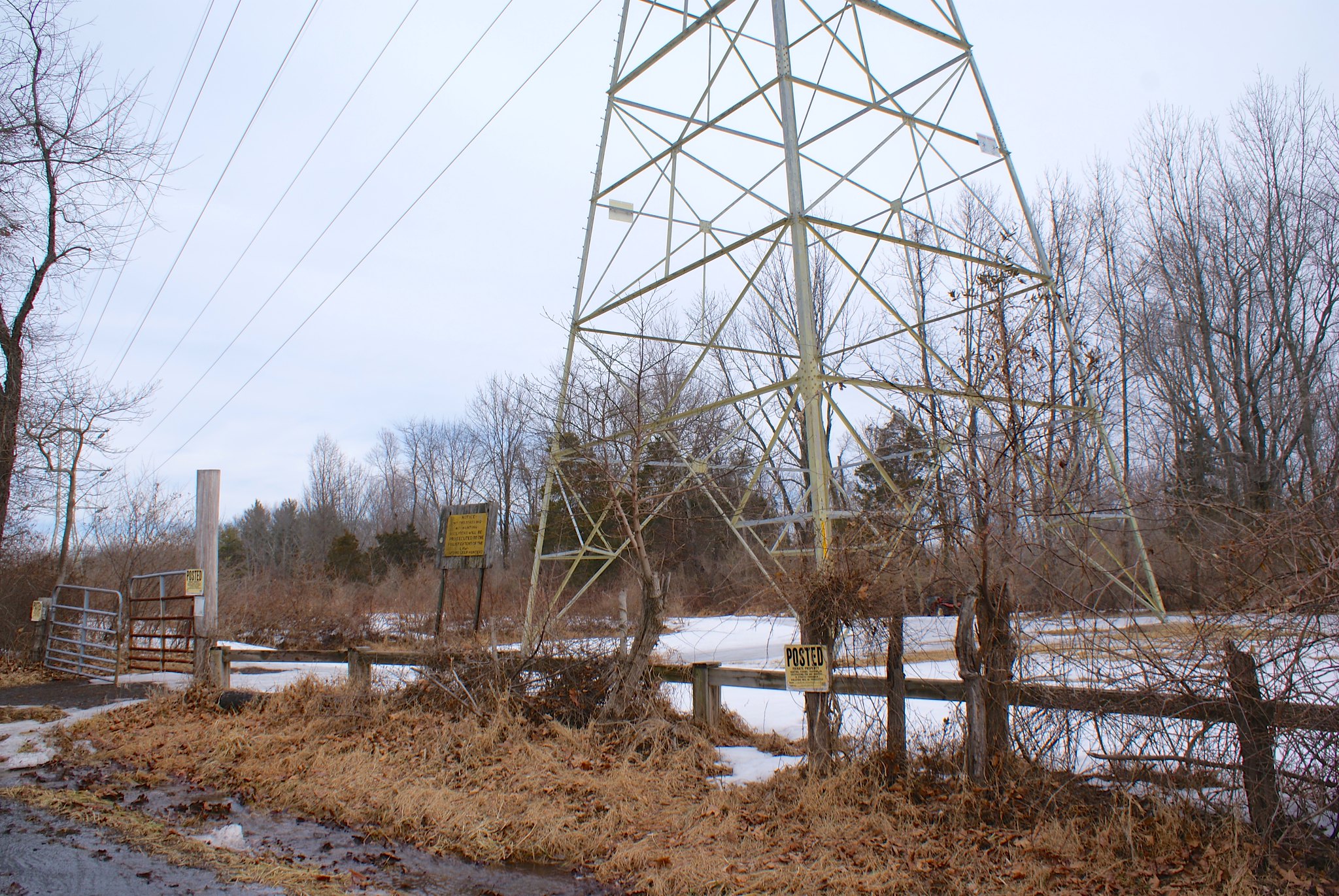
Pleasant Valley Road and Valley Road closeup
Closeup of the sign and looking to the west.

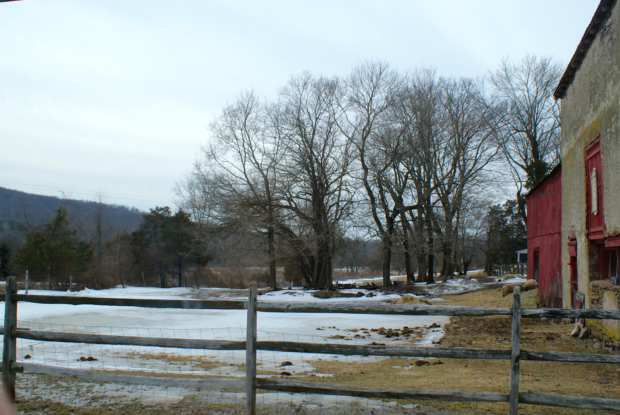
Valley Road – Sheep Farm
This is a sheep farm that’s on Valley Road. The pipeline will be running across the middle of the entire farm. If you look closely you can see the sheep on the bottom right. There are other farms along here that you can’t see which you can only get to via an access road. The pipeline is going to cut right across that access road, cutting off people from their farms.