Photographing the pipeline route, Part 15: Onward to the Lehigh River

In this installment I got additional pictures in the area of Reigelsville and then moved on down the pipeline route to the Lehigh River.

I revisited Reigelsville at the invitation of one of the local pipeline activists. She took me from her house on the Delaware down the canal to show me the route crossing of the Delaware River from the PA side. From there I continued along the route, ultimately finishing at the Lehigh River.

The billboard
But first I had a mini-mission! Delaware CCAP had let me know that a billboard had gone up in PA in the area of Kintnersville. I just had to get a picture of that so I drove over to Kitner Hill Road and route 611 in PA, and there she was in all her glory:

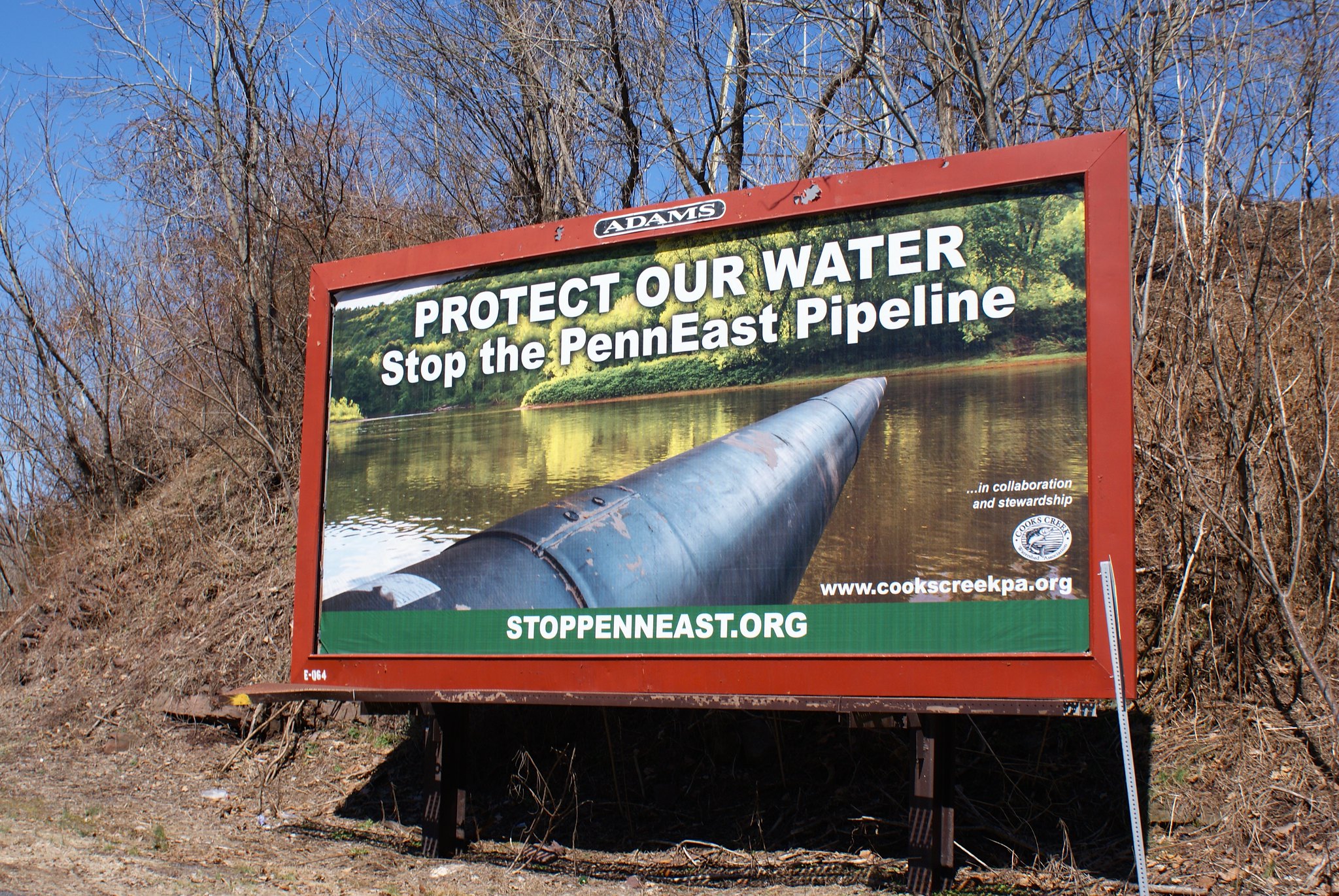
This billboard was created as a collaboration between stoppenneast.org and the CookS Creek Watershed Association. Good work guys!

Shot 300 – Canal looking North Reigelsville PA
After a brief 15 minute walk from my guide in Reigelsville we arrived at the pipeline route. This shot shows a newly renovated cafe that will be opening up soon. The pipeline will be running right along side it.

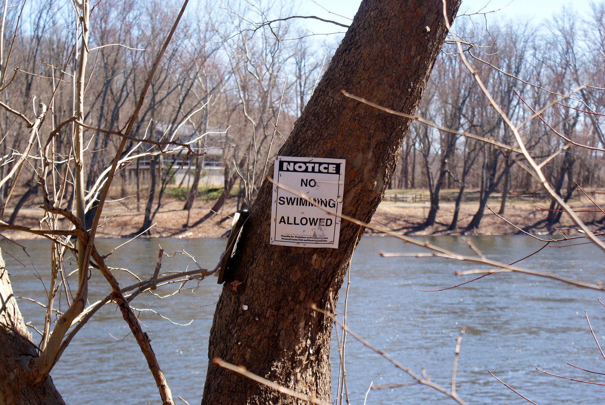
Shot 302 – Towards River No swimming Reigelsville PA
Moving towards the Delaware I got this shot of a no swimming sign near the crossing point.

I went down a steep embankment to be at the river’s edge so I could get some good shots of the river at the crossing point and of the Jersey shore line. This shot is looking somewhat northeast.

Shot 305 – Reigelsville PA Delaware River to North
A zoomed in shot of the shoreline at the crossin point.

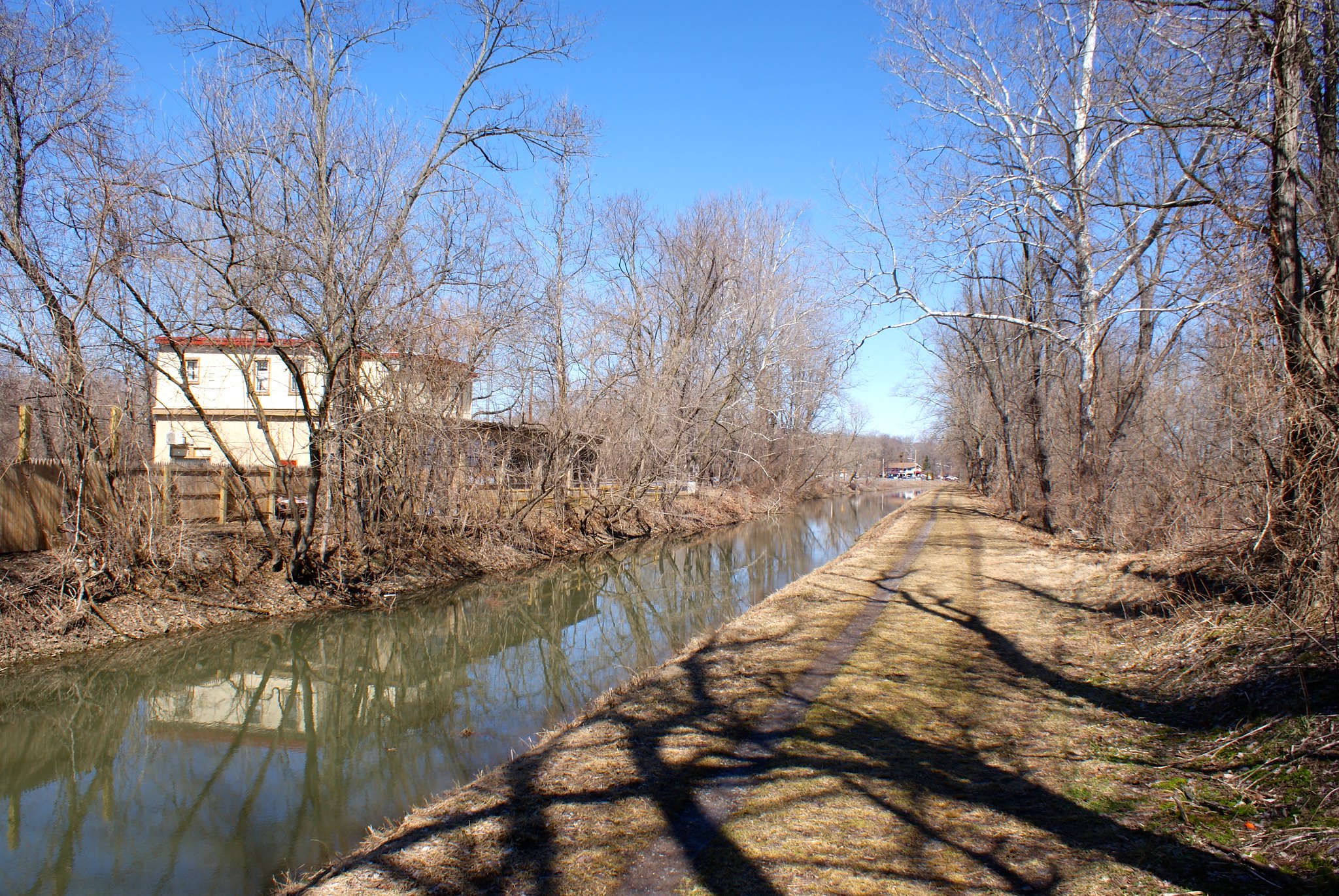
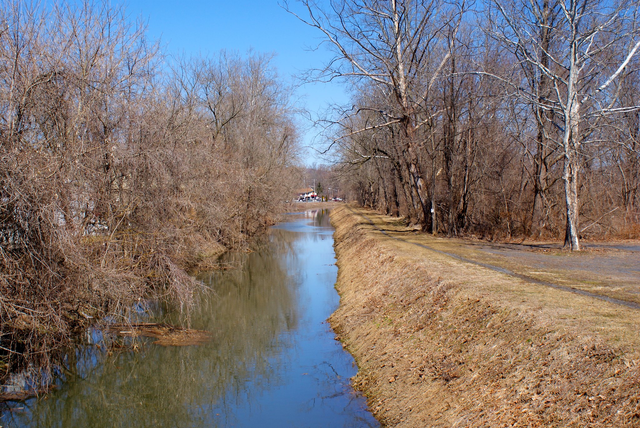
Shot 308 – Reigelsville PA Over canal
A shot of the D&R canal from a bridge to the tow path, looking to the north at the route crossing.

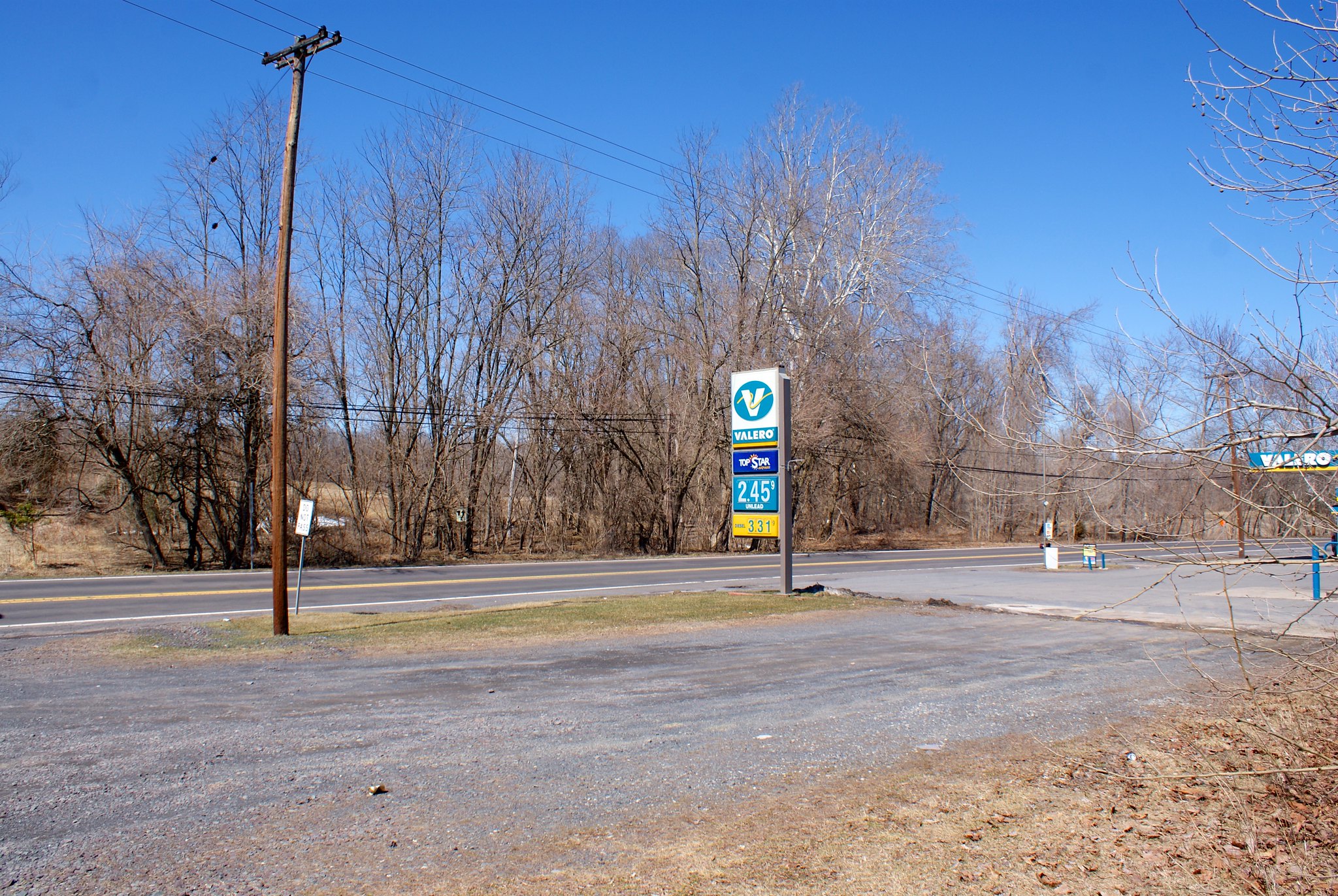
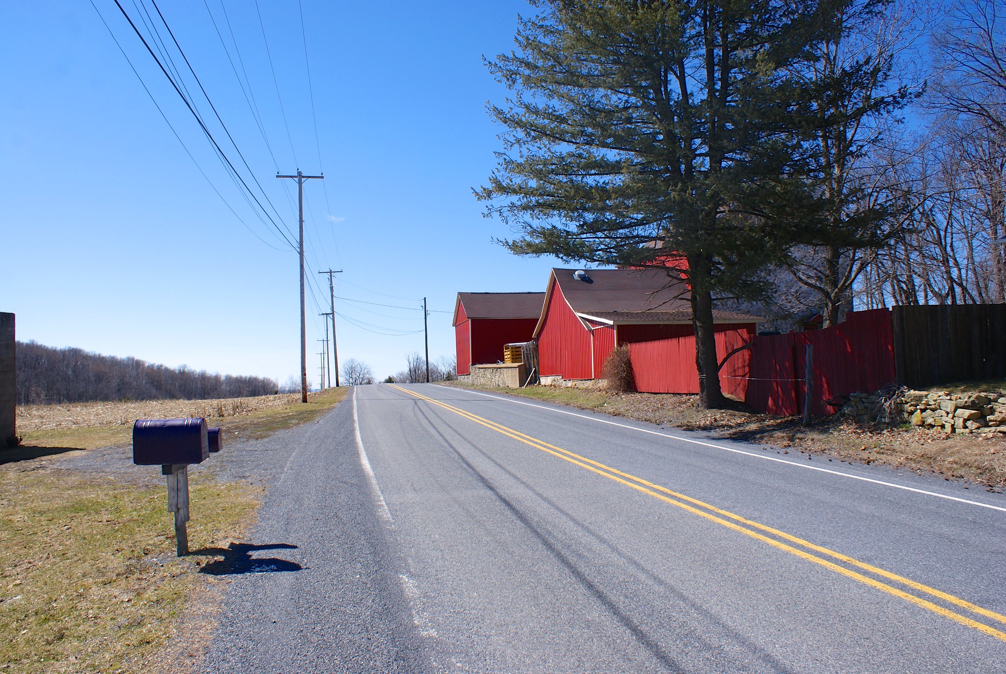
Shot 309 – Reigelsville PA Valero
A Valero on the road next to the canal. The pipeline will be crossing a hundred feet or so from this. How safe is it to be drilling and blasting near under ground gasoline tanks?

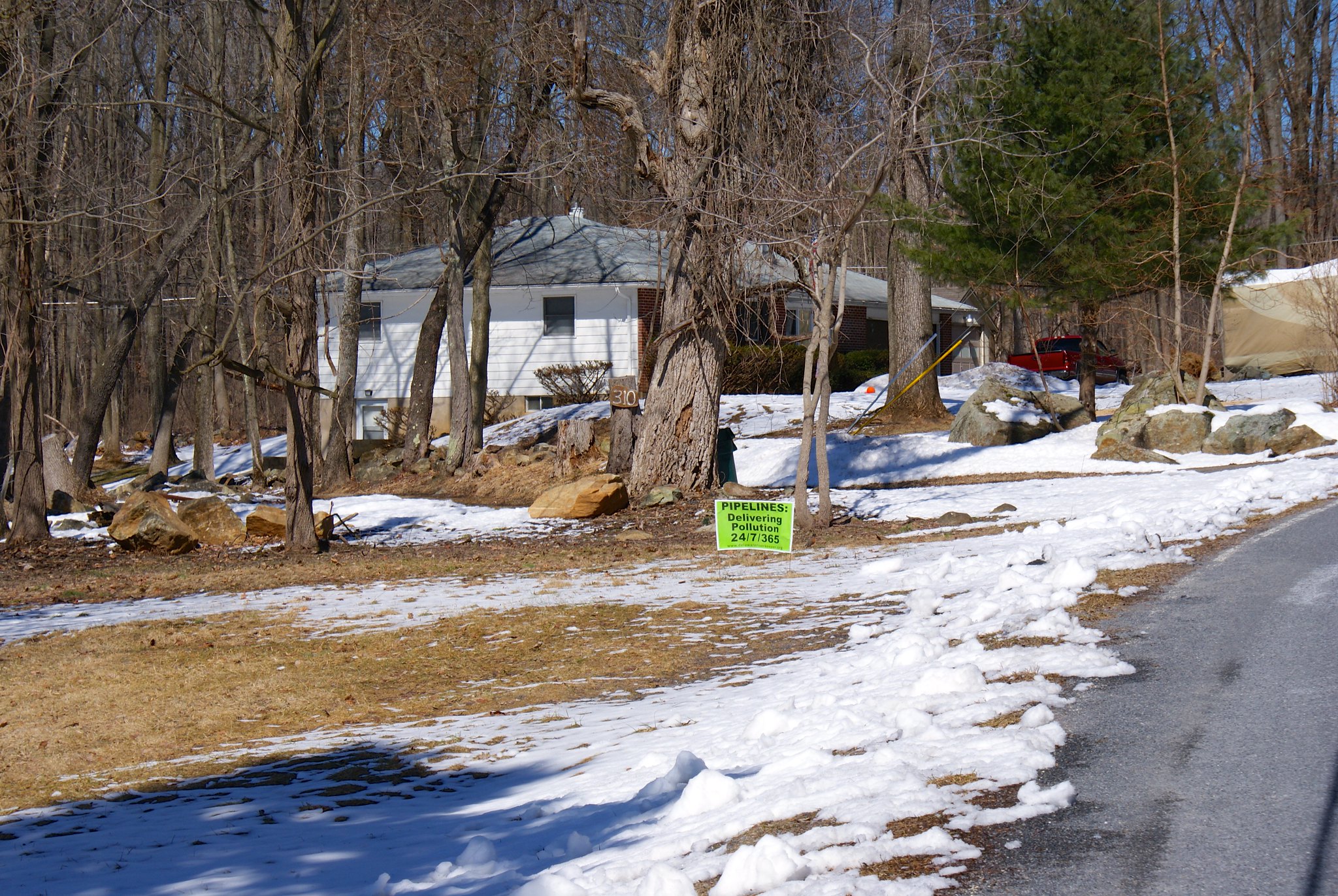
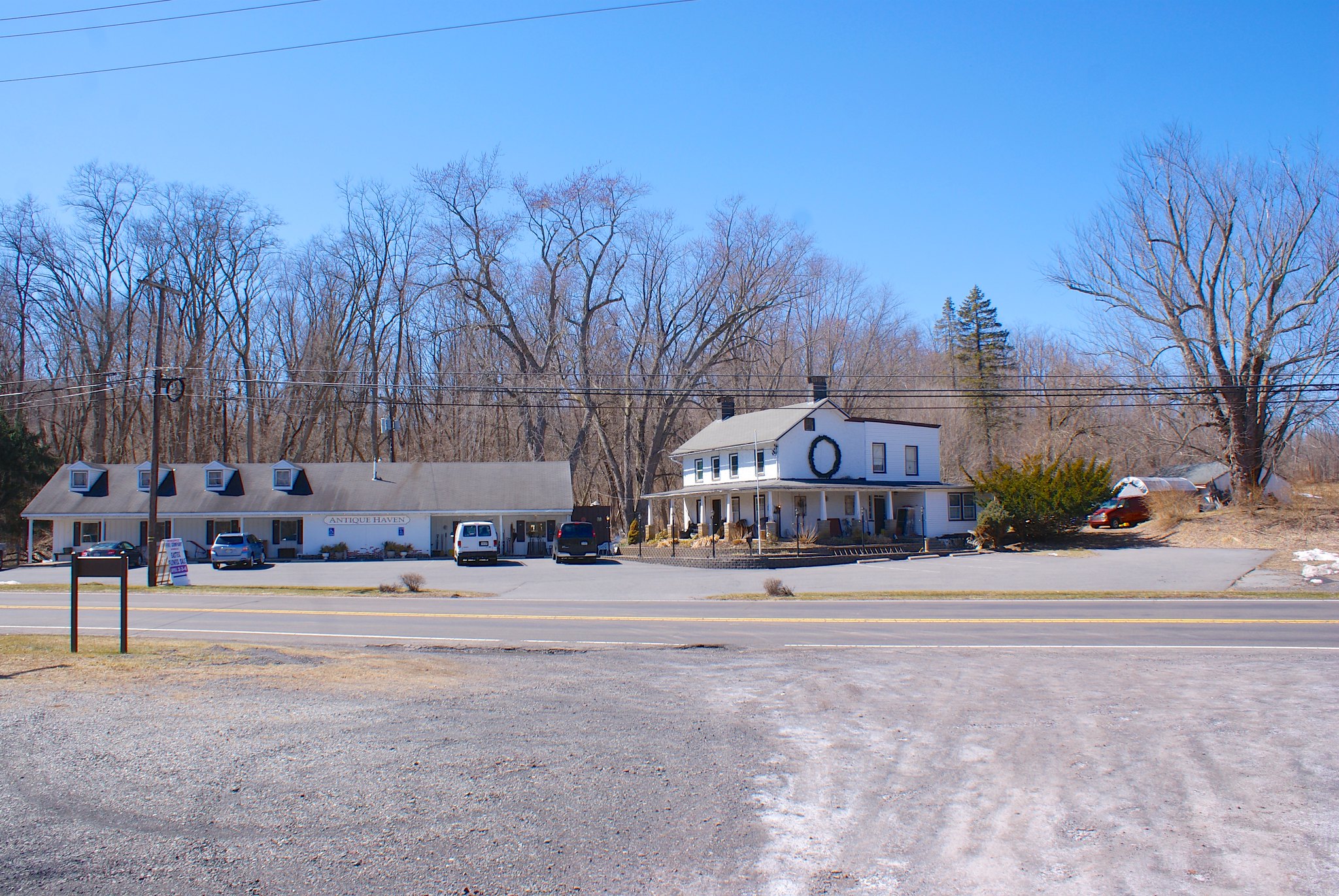
Shot 310 – Reigelsville PA Antique store
An antique store across the street near the pipeline crossing.

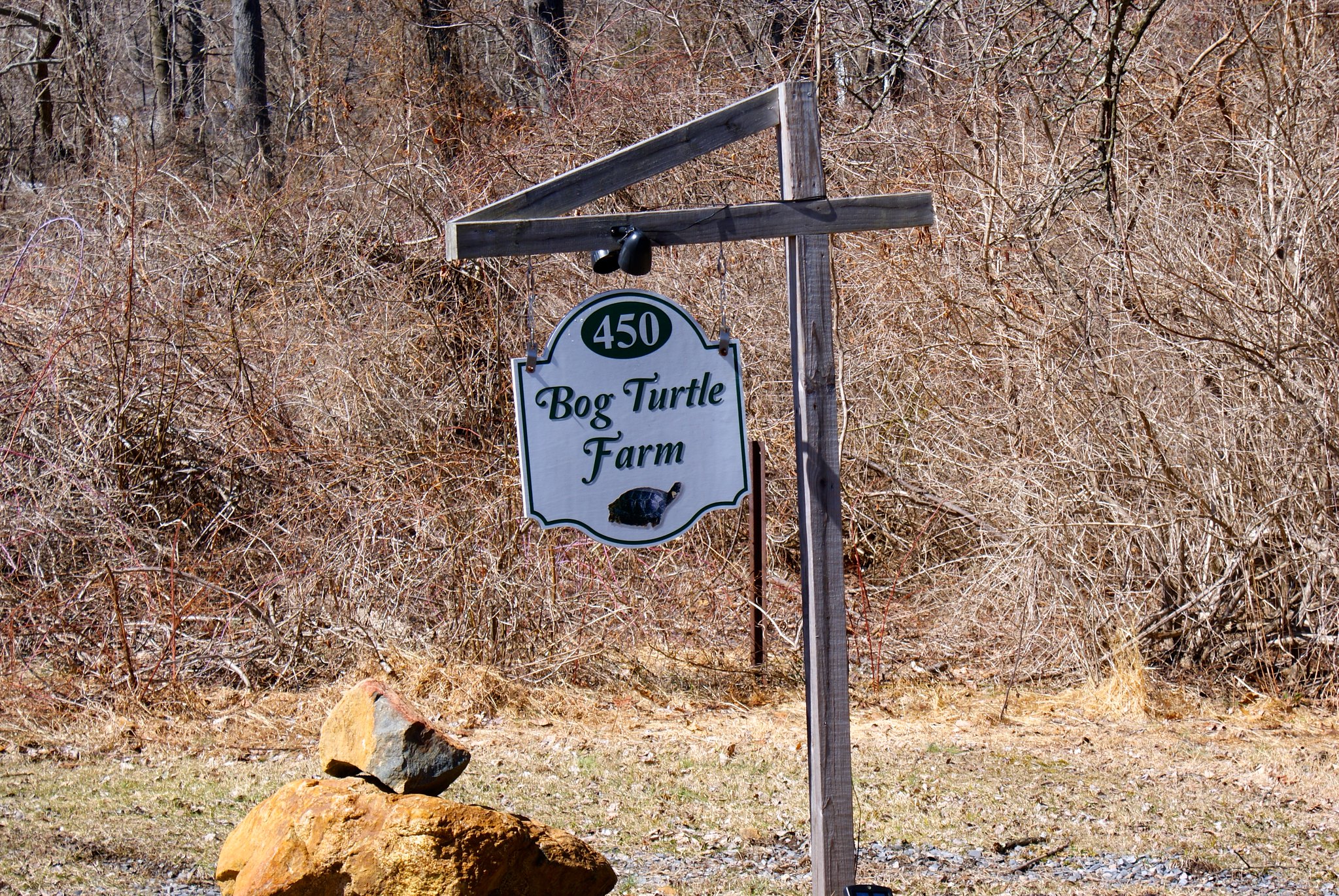
Shot 311 – Bog Turtle Farm Sign
Once I bid adieu to my guide I headed north east along the pipeline route. My first destination was the Bog Turtle Farm. This is presumably named after the Bog Turtles that live around here, they’re a protected species in PA. PennEast doesn’t seem to particularly care.

Shot 311 – Bog Turtle Farm Driveway
This is the driveway/access road to the farm. The pipeline will be cutting it in two.

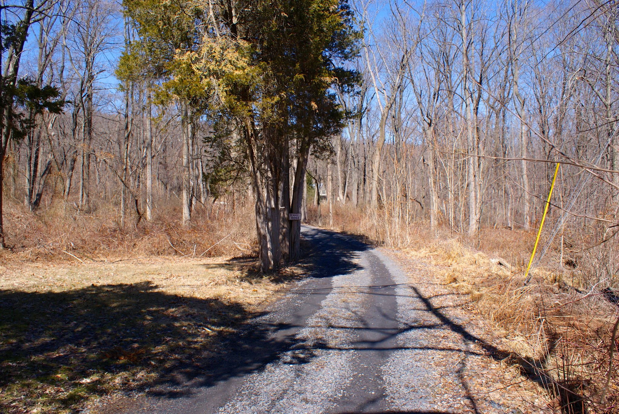
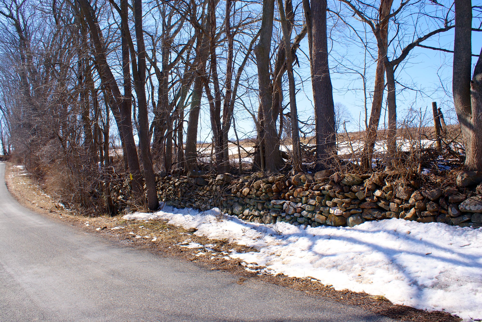
Shot 314 – Buttermilk Road to North
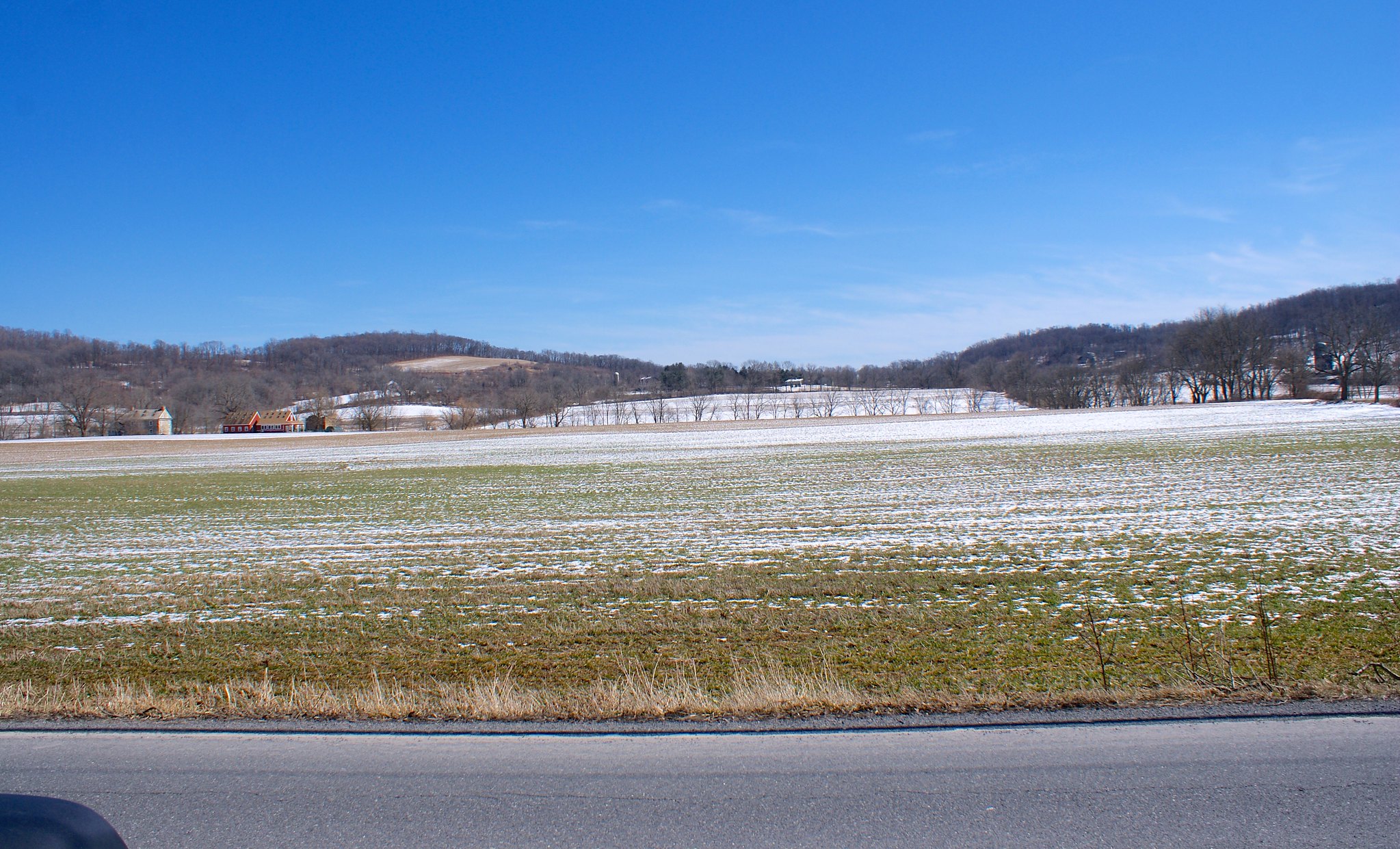
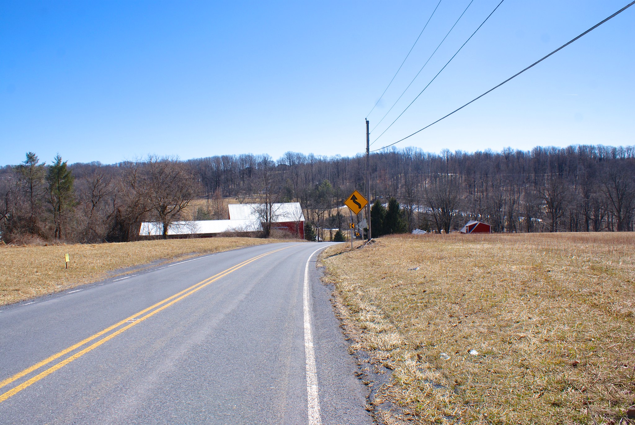
Next up was Buttermilk road. They must like to eat in this area of PA, lots of the streets are named after food (Applebutter comes up soon!). Here’s an open area where the pipeline will be coming through.

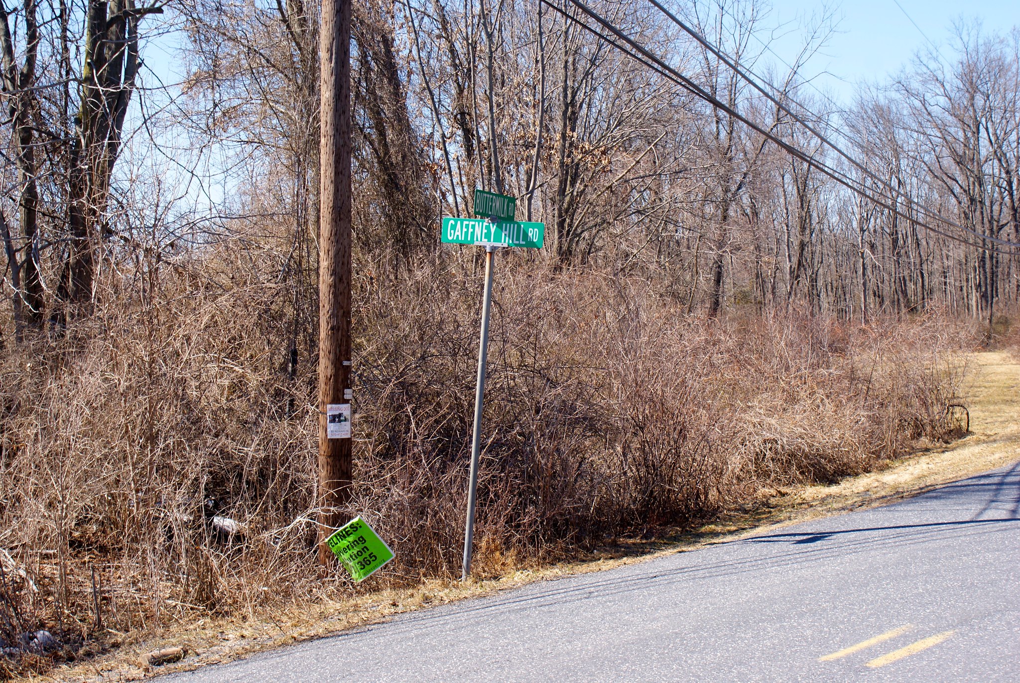
Shot 316 – Buttermilk Road to and Gaffney Hill Road
Slightly along Buttermilk we get to Gaffney Hill Road, another pipeline site.

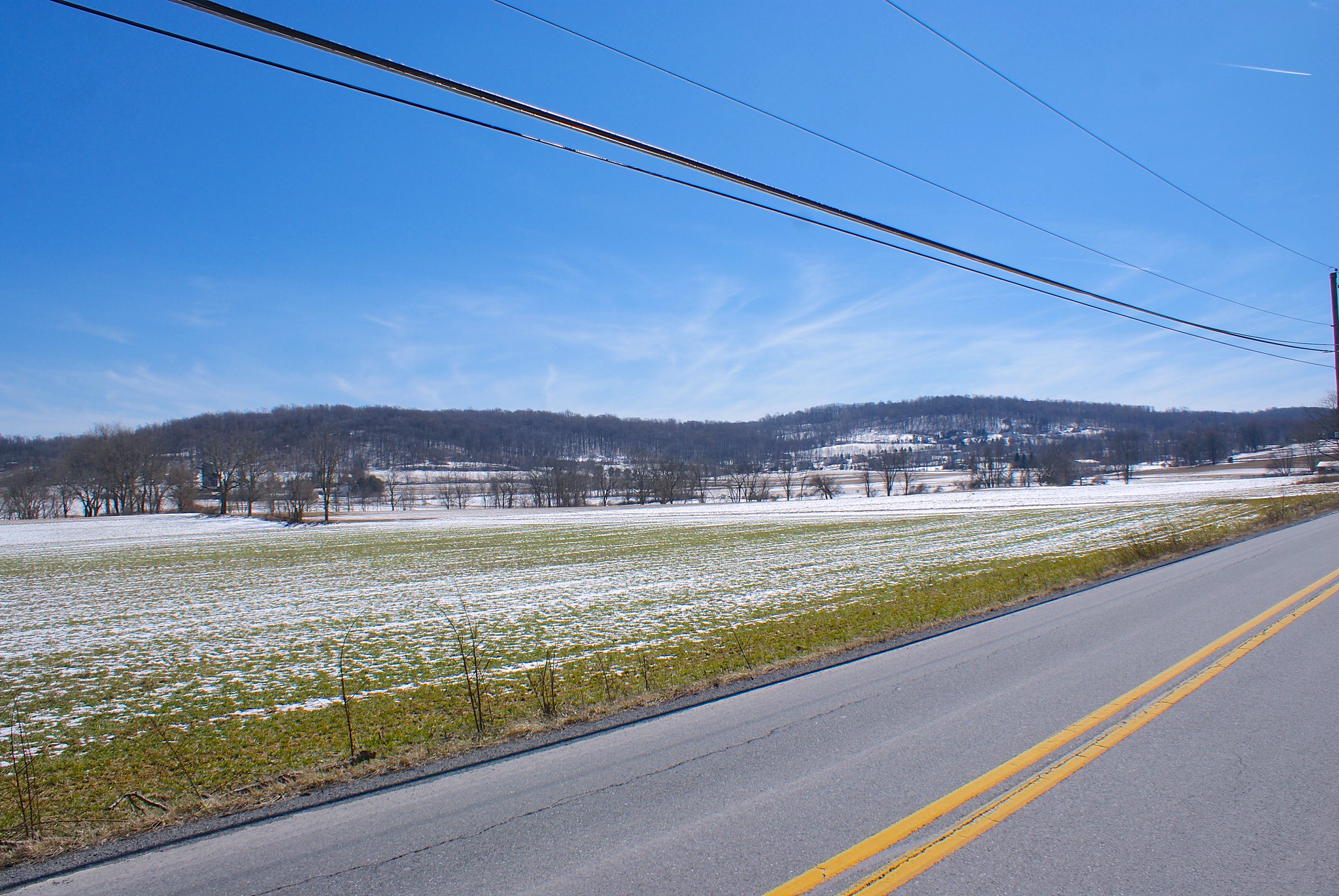
Shot 319 – Buttermilk Road Field Closeup
The pipeline route parallels Buttermilk Road for awhile along this field. The route is just past the trees in the mid-ground in this picture.

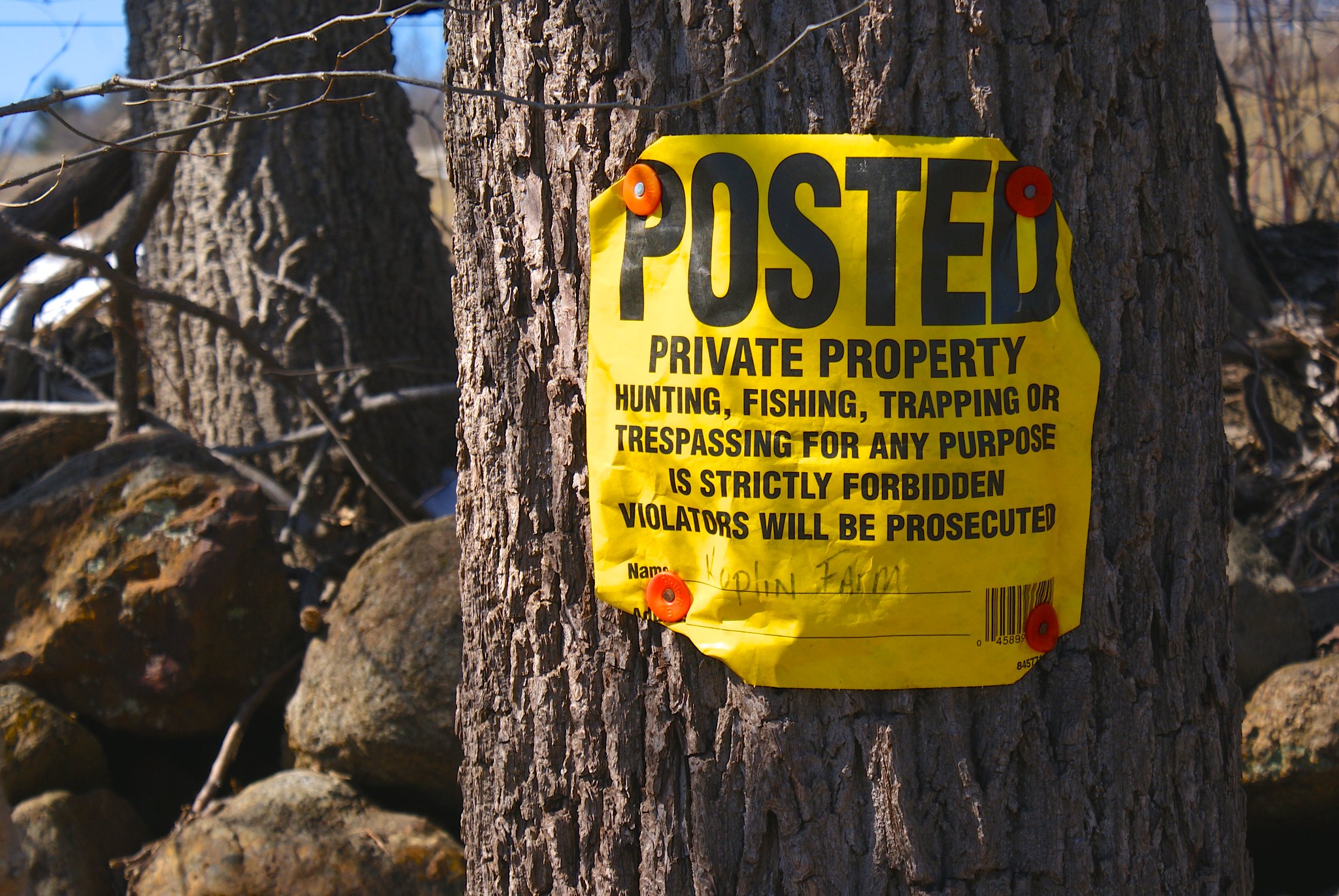
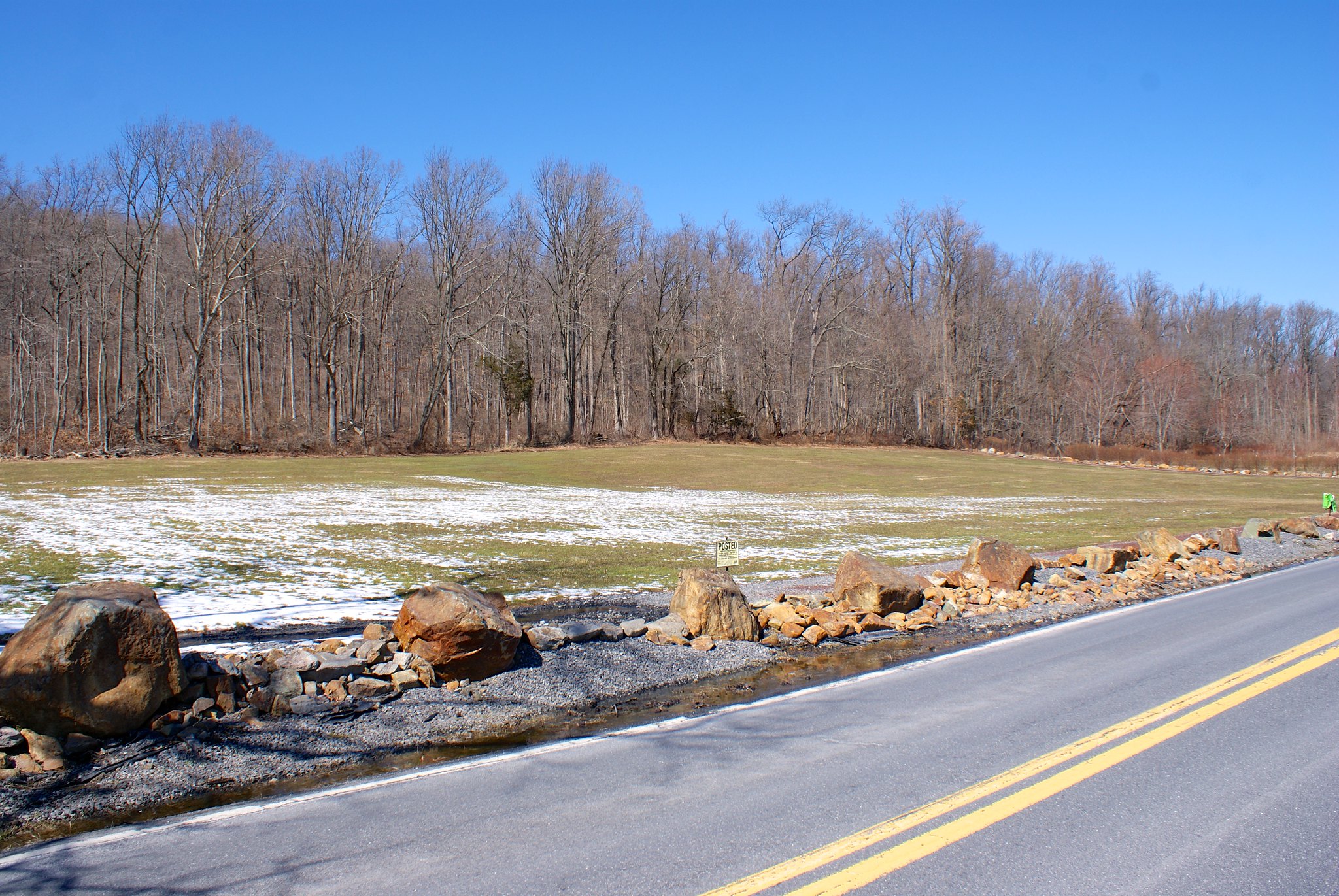
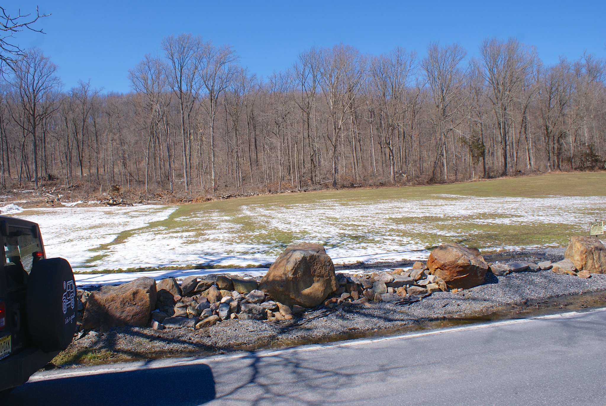
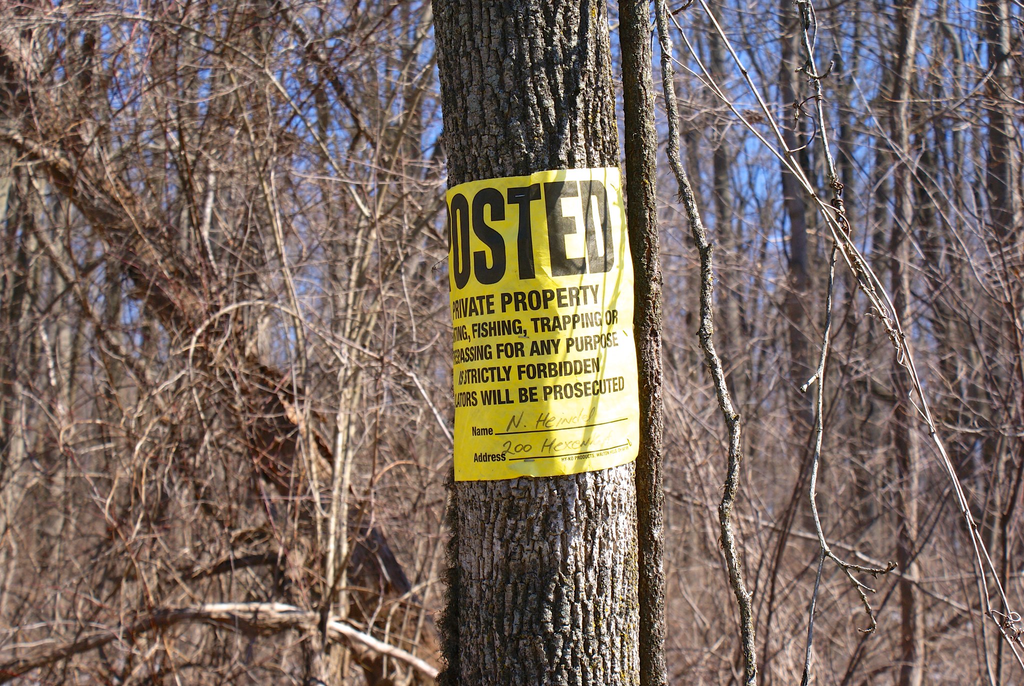
Shot 321 – Lower Saucon Field Sportsmen Posted Sign
A Posted sign from Raubsville Sportsmen. Another hunting club that’s going to be thrilled to have the pipeline construction.

Shot 323 – Lower Saucon road to south
Next up we have Lower Saucon Road. The pipeline will be cutting across some farms and home properties here. And as in so many places when the road is closed for construction the residents will be cut off from being to get to many places easily.

Shot 324 – Lower Saucon to west
Looking to the west.

Shot 326 – Lower Saucon field and house to east
A view to the east of the route and a house next to it.

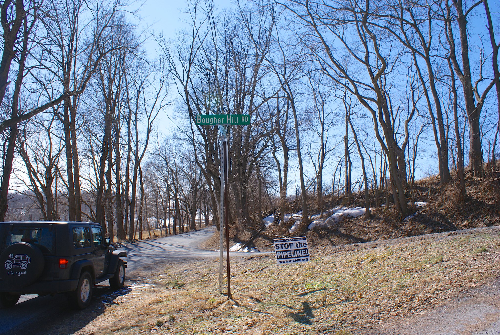
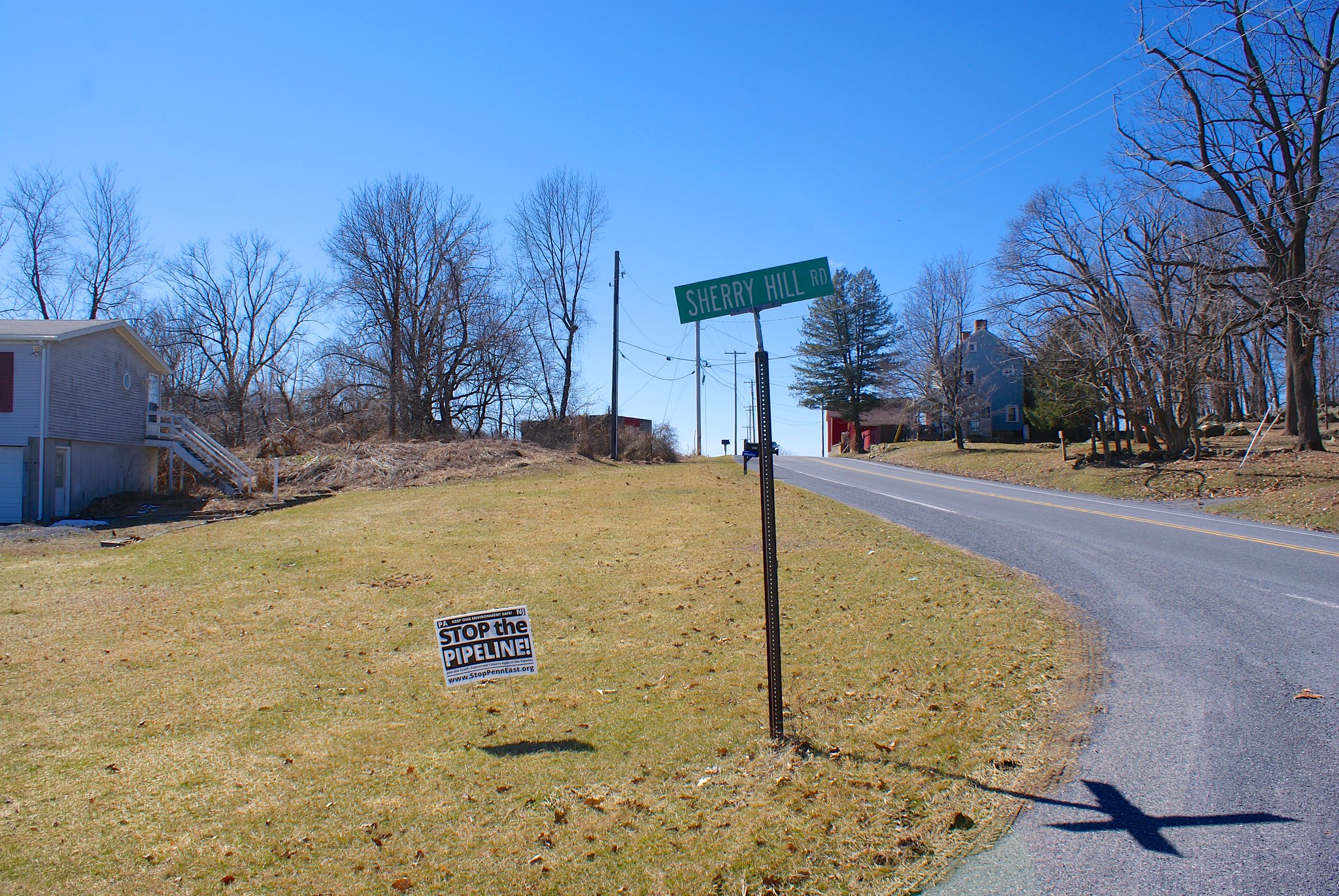
Shot 327 – Applebutter Road and Sherry Hill Road
On the other side of route 78 I hit Applebutter Road near Sherry Hill Road.

Shot 329- Applebutter Road Fort Zoom out

This part of the route is an side connection of the pipeline to one of PennEast’s partner’s. To the north east we see the pipeline is going through this property where there’s an awesome fort and tire swing.

Shot 330 – Applebutter Road to south
Looking on Applebutter to the south along the route.

Shot 331 – Applebutter Road to West
Looking along the road to the west including the farm house.

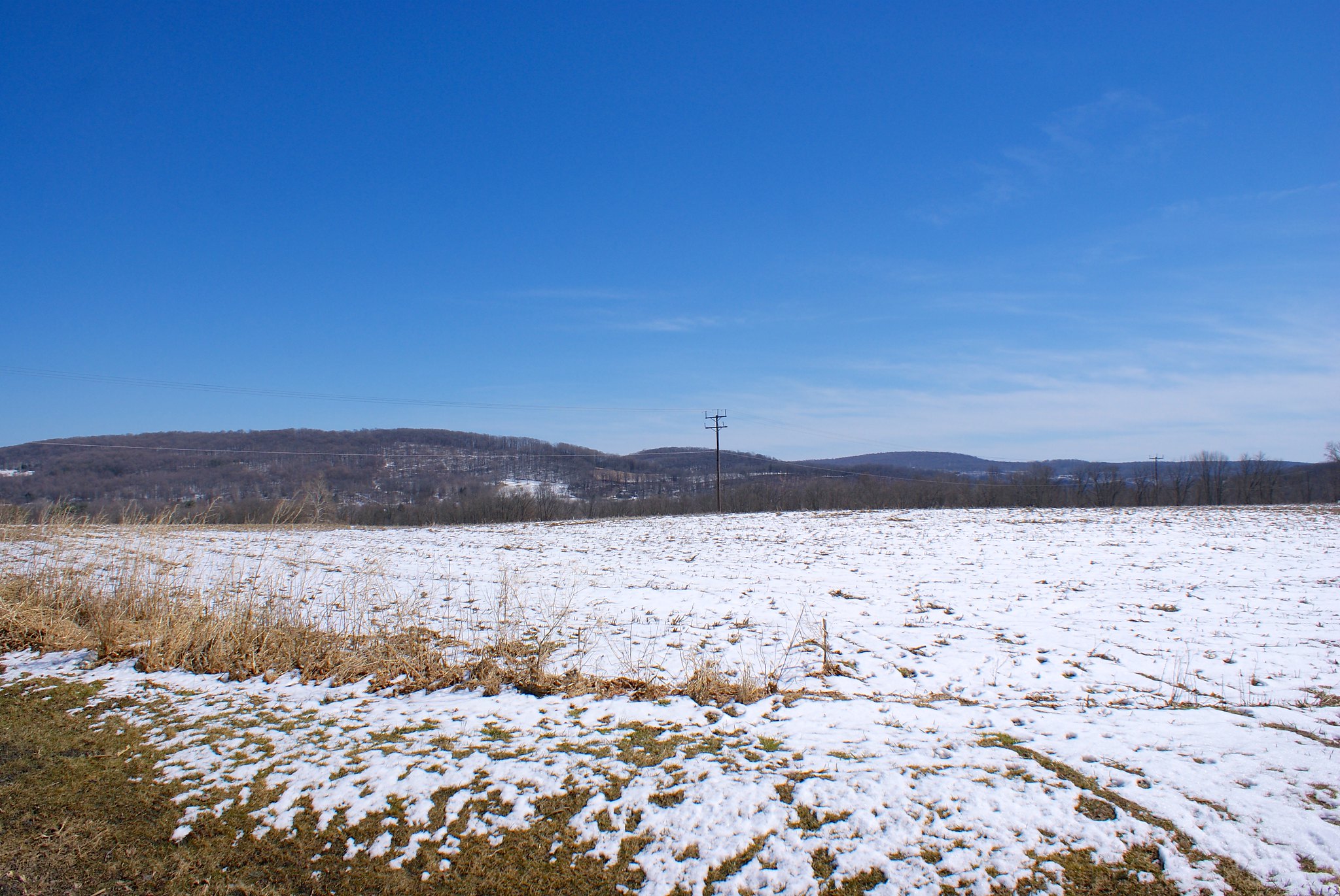
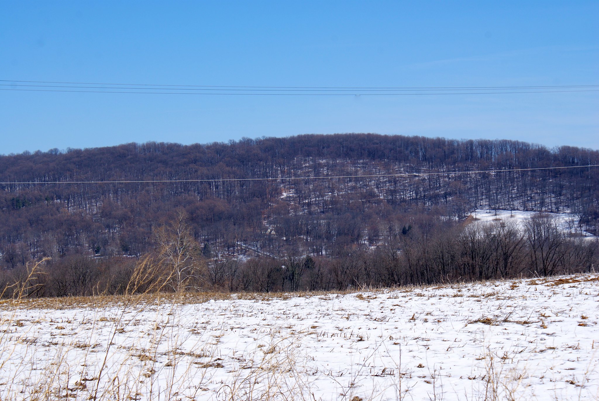
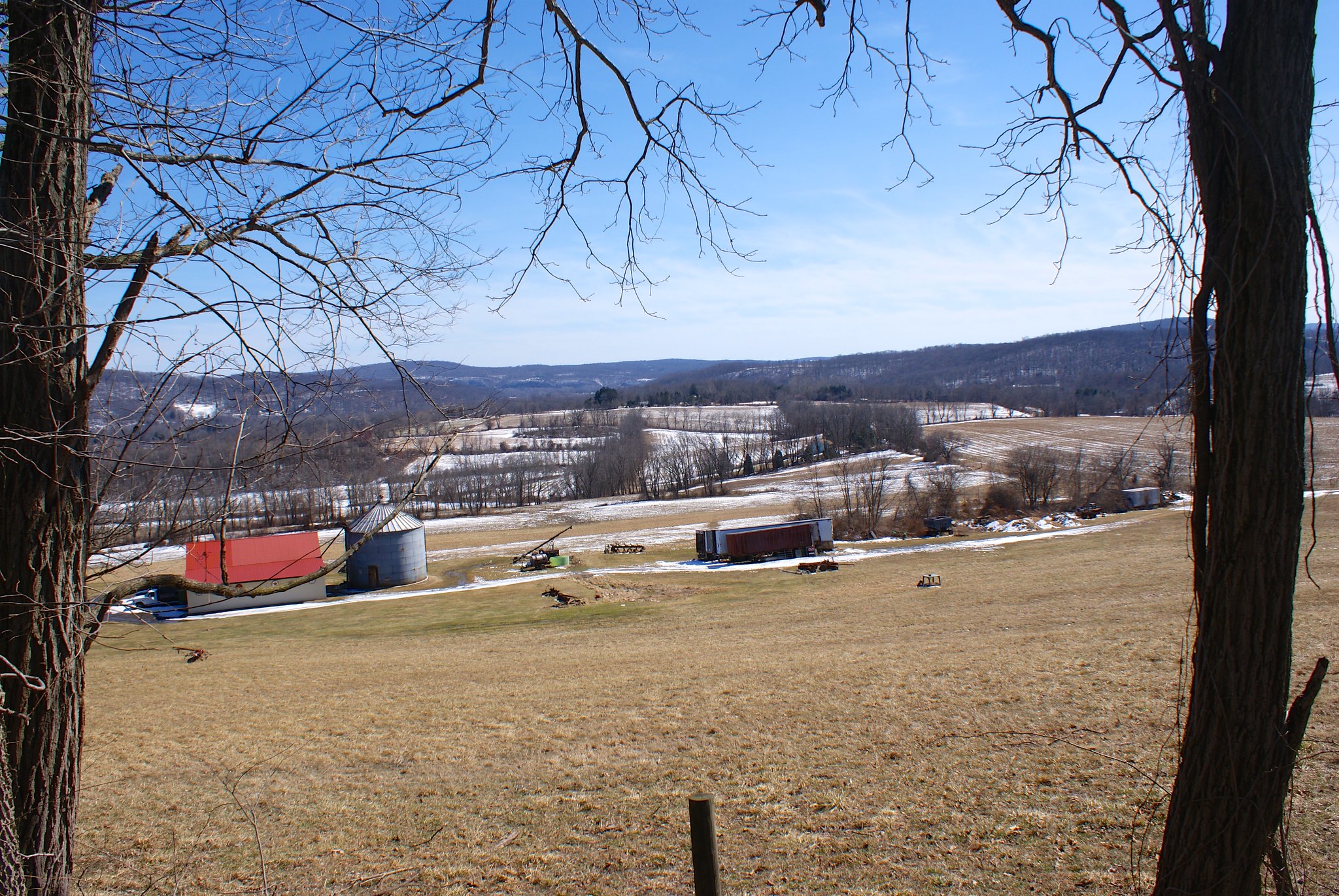
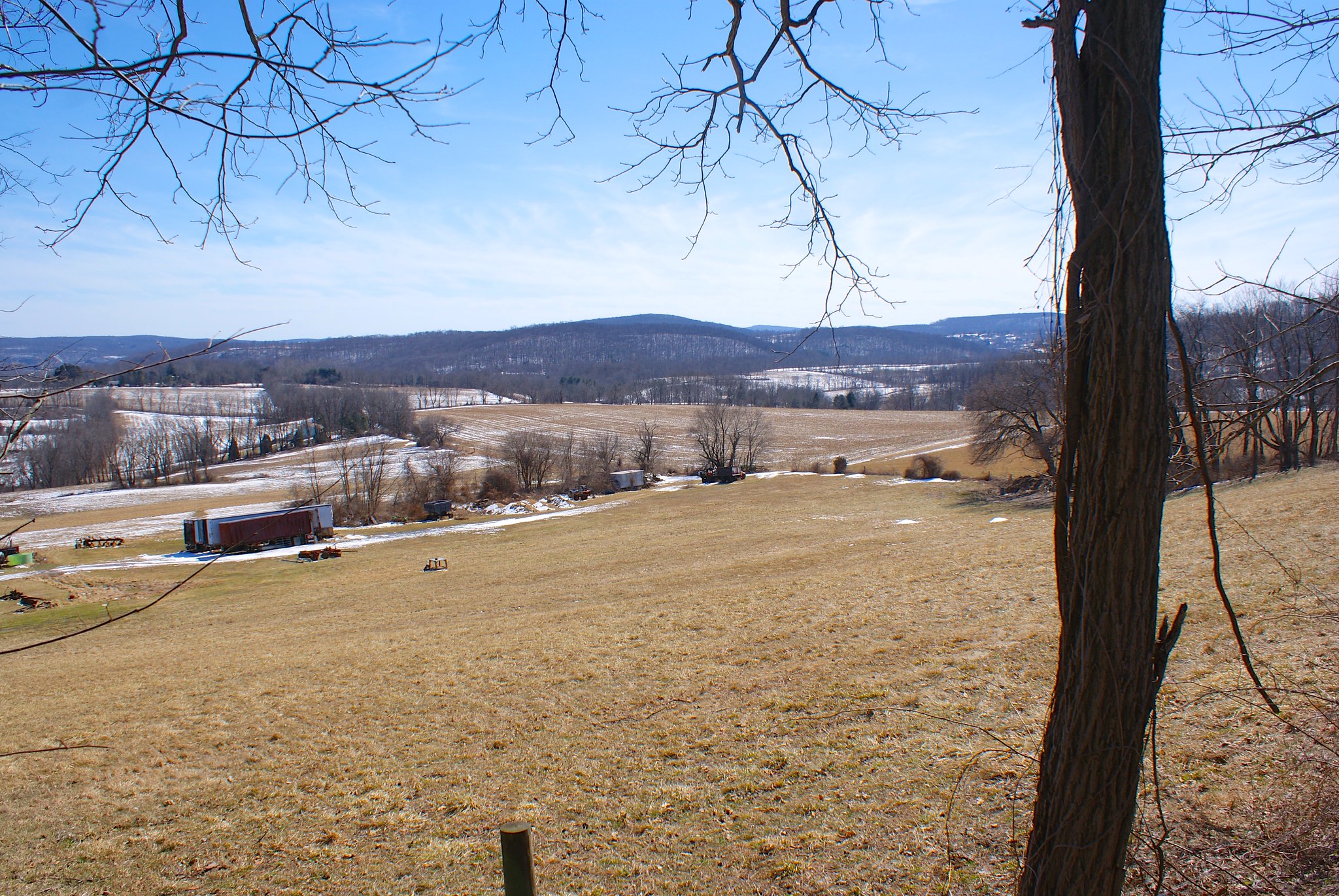
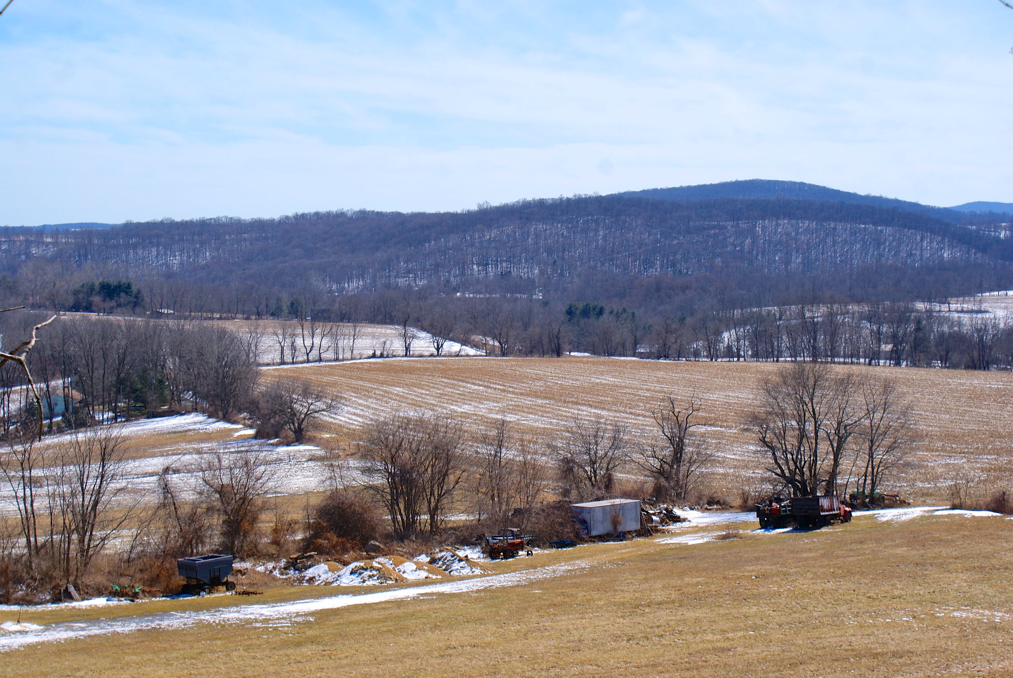
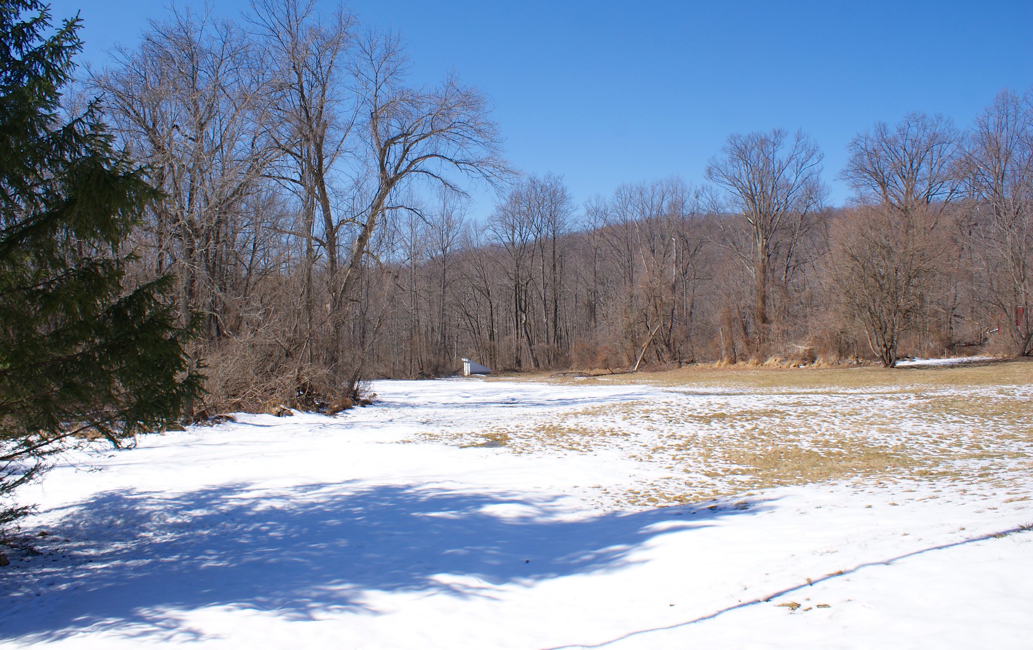
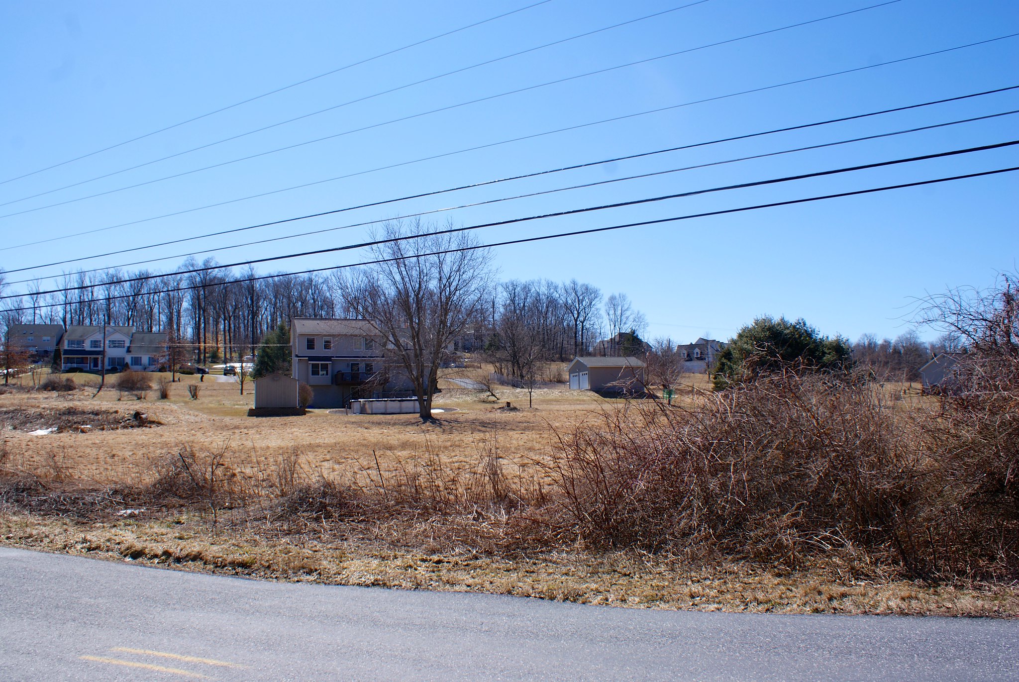
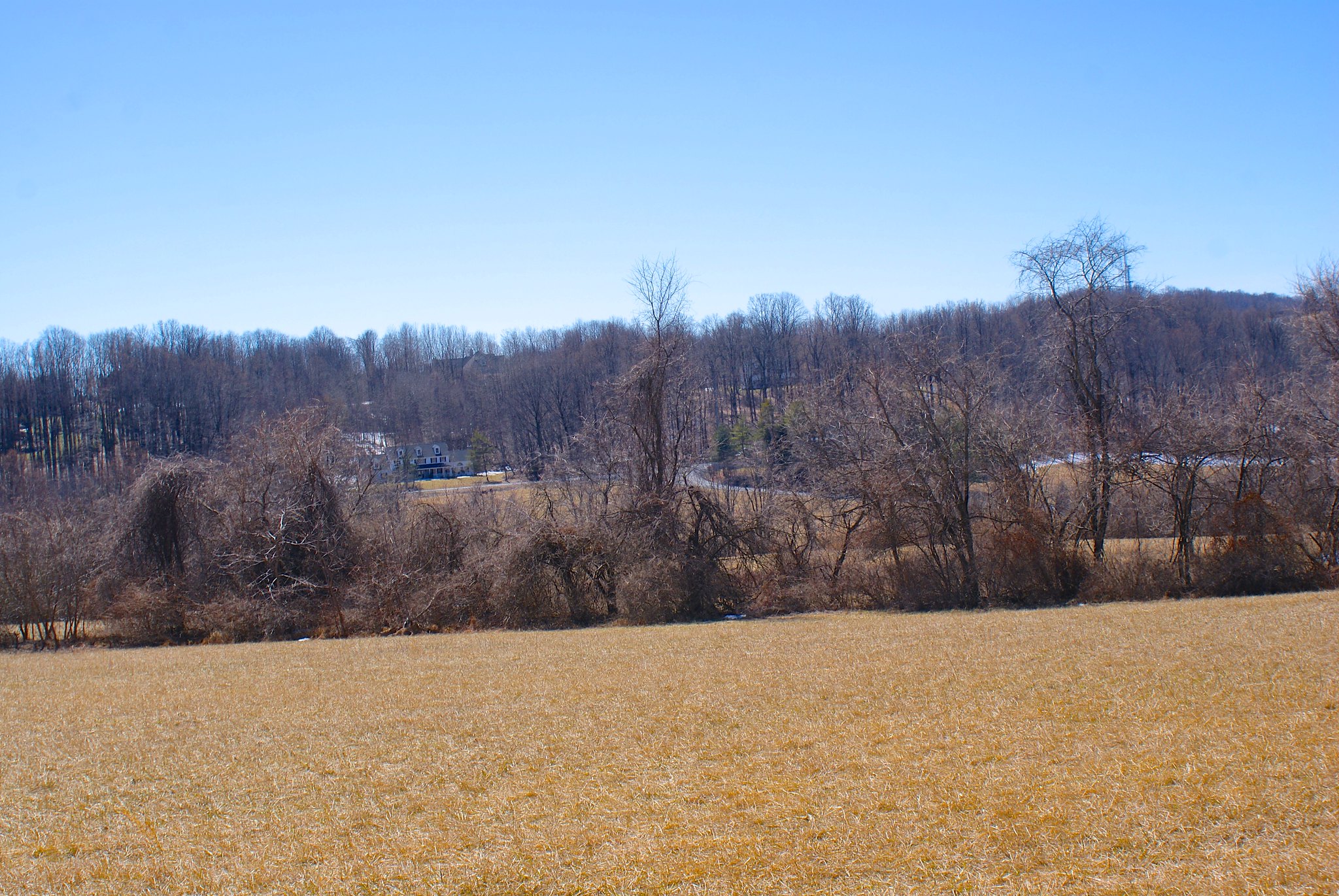
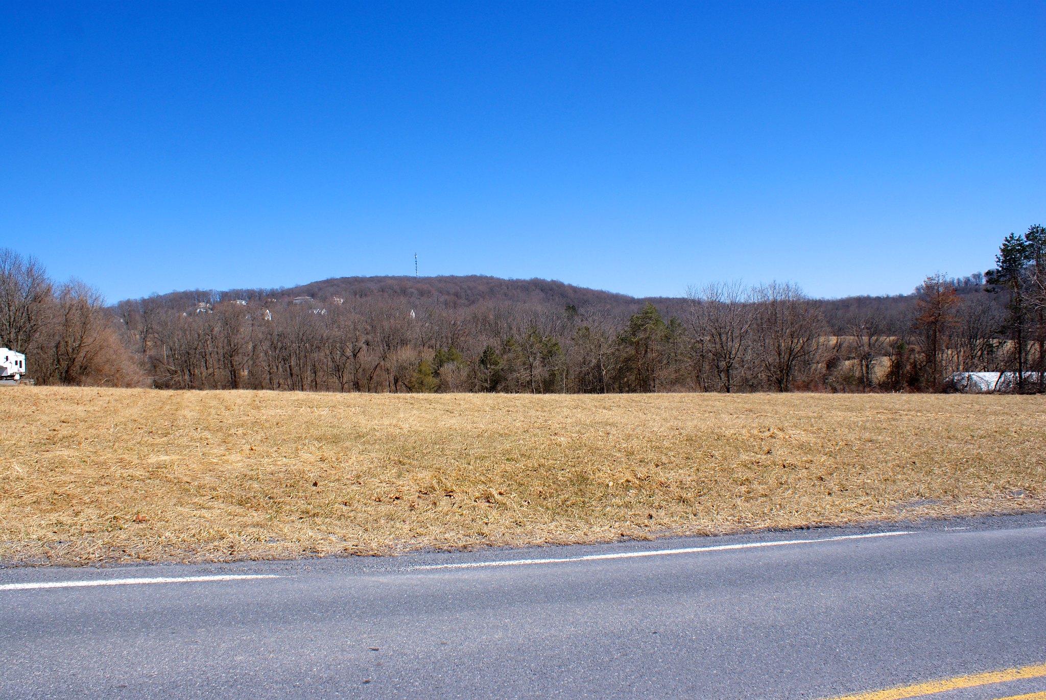
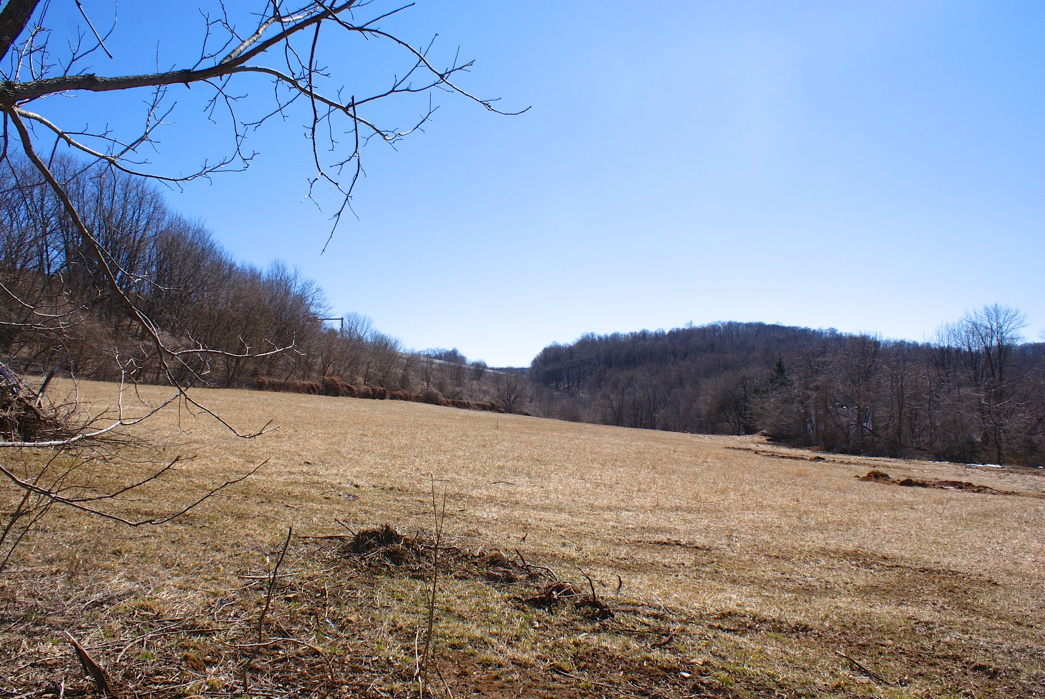
Shot 333 – Lower Saucon scenic view
I had to back track a bit because I really wanted to see the Lehigh river crossing area. Along the way back on Lower Saucon road I caught this scenic view. The pipeline will be running through the leftish side of this view.

Shot 334 – Redding Road at 78 to South
This is on Redding Road at route 78. This is part of the pipeline cross-connect route as the one on Applebutter. It is a mystery to me and many people why PennEast did not co-locate their pipeline along Route 78 for most of the way – it would have solved most of their issues people are complaining about with the route.

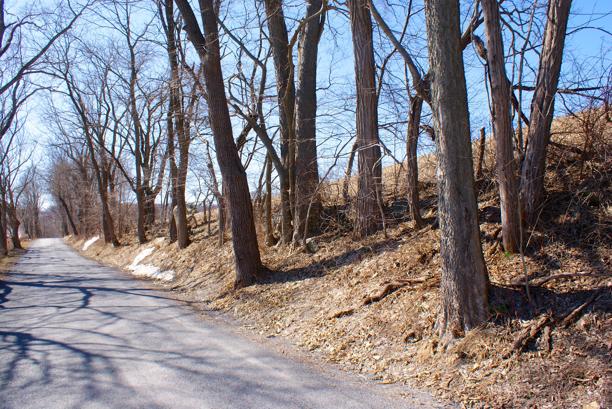
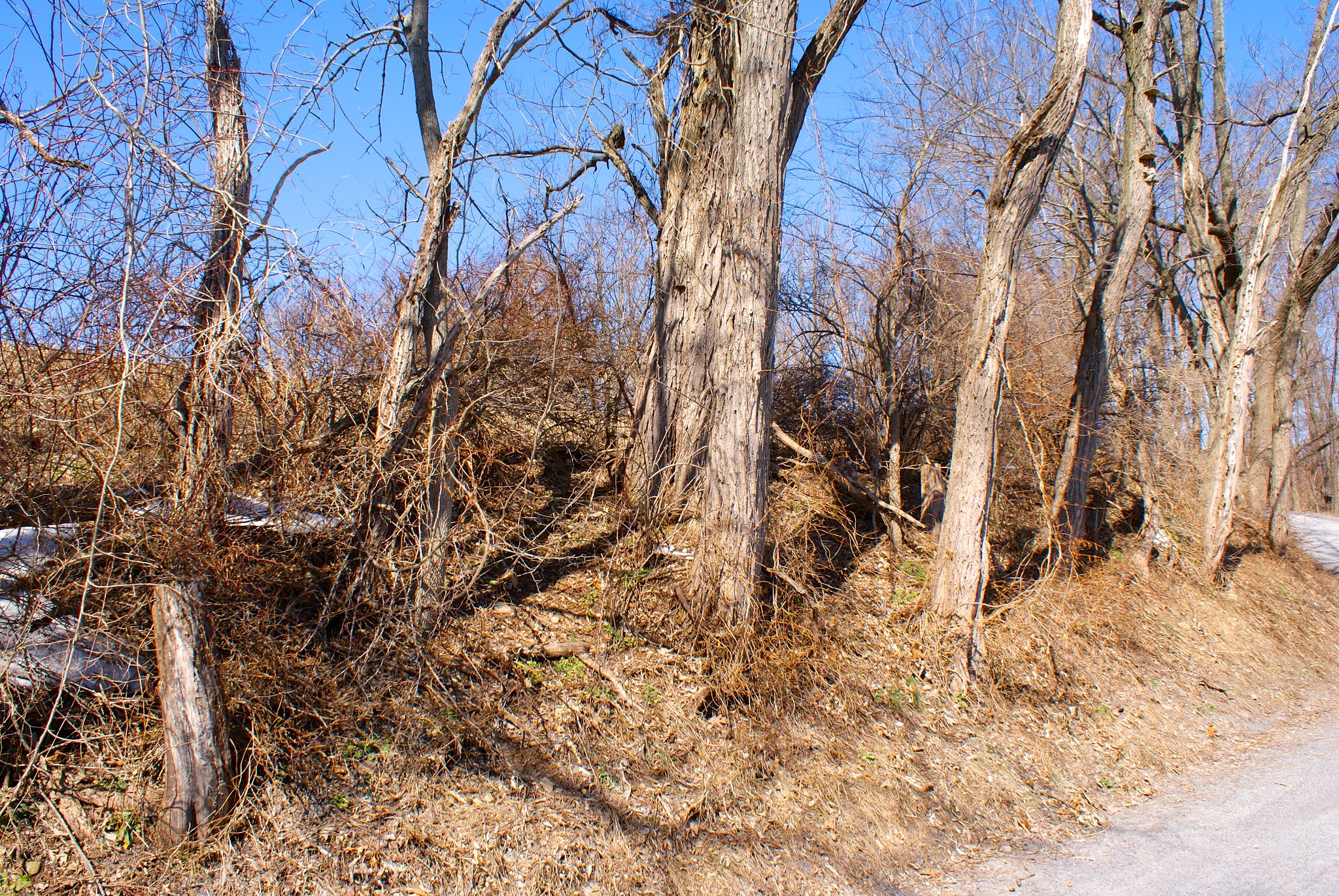
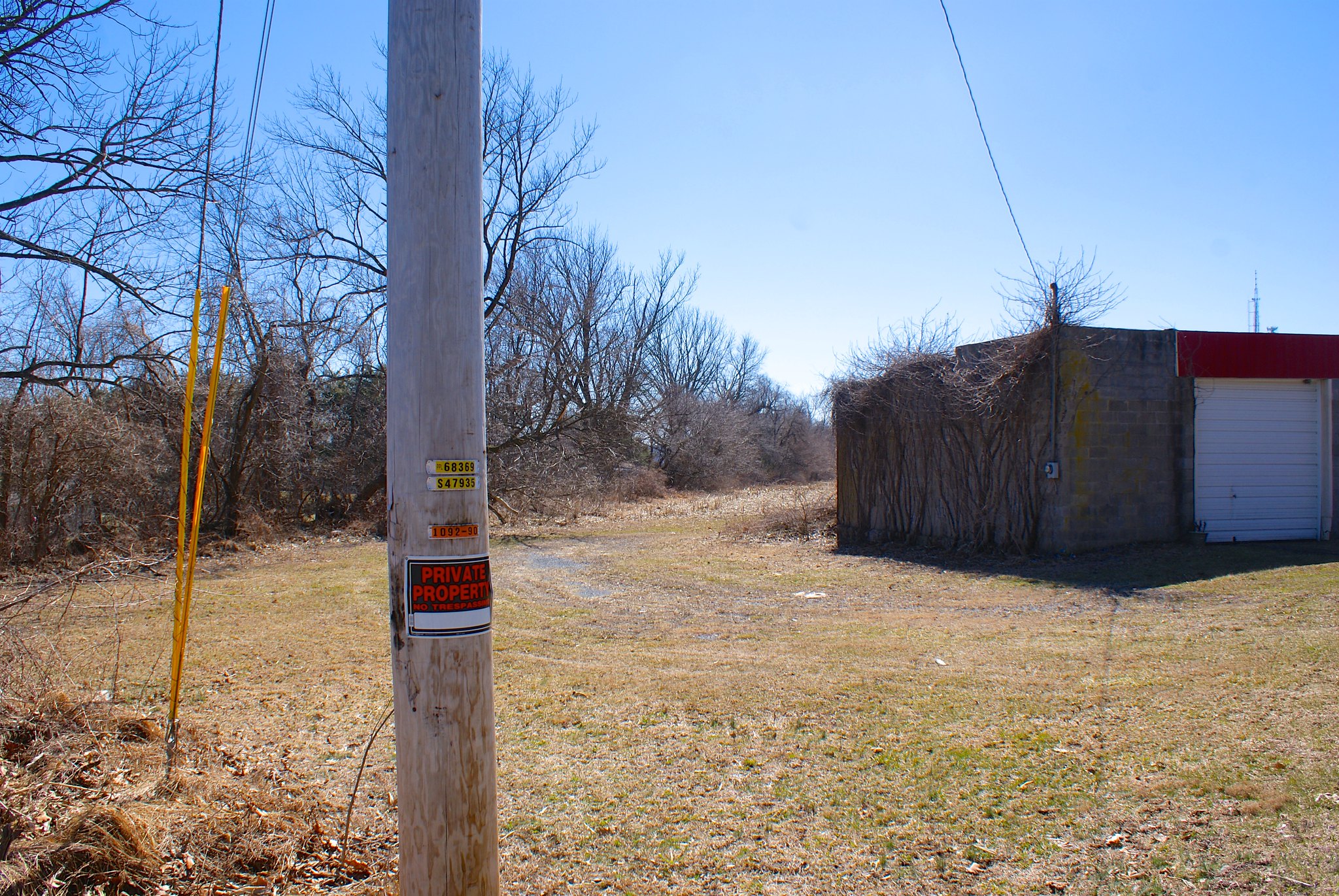
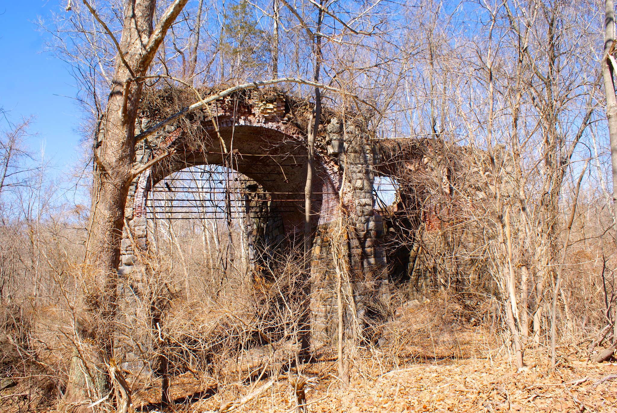
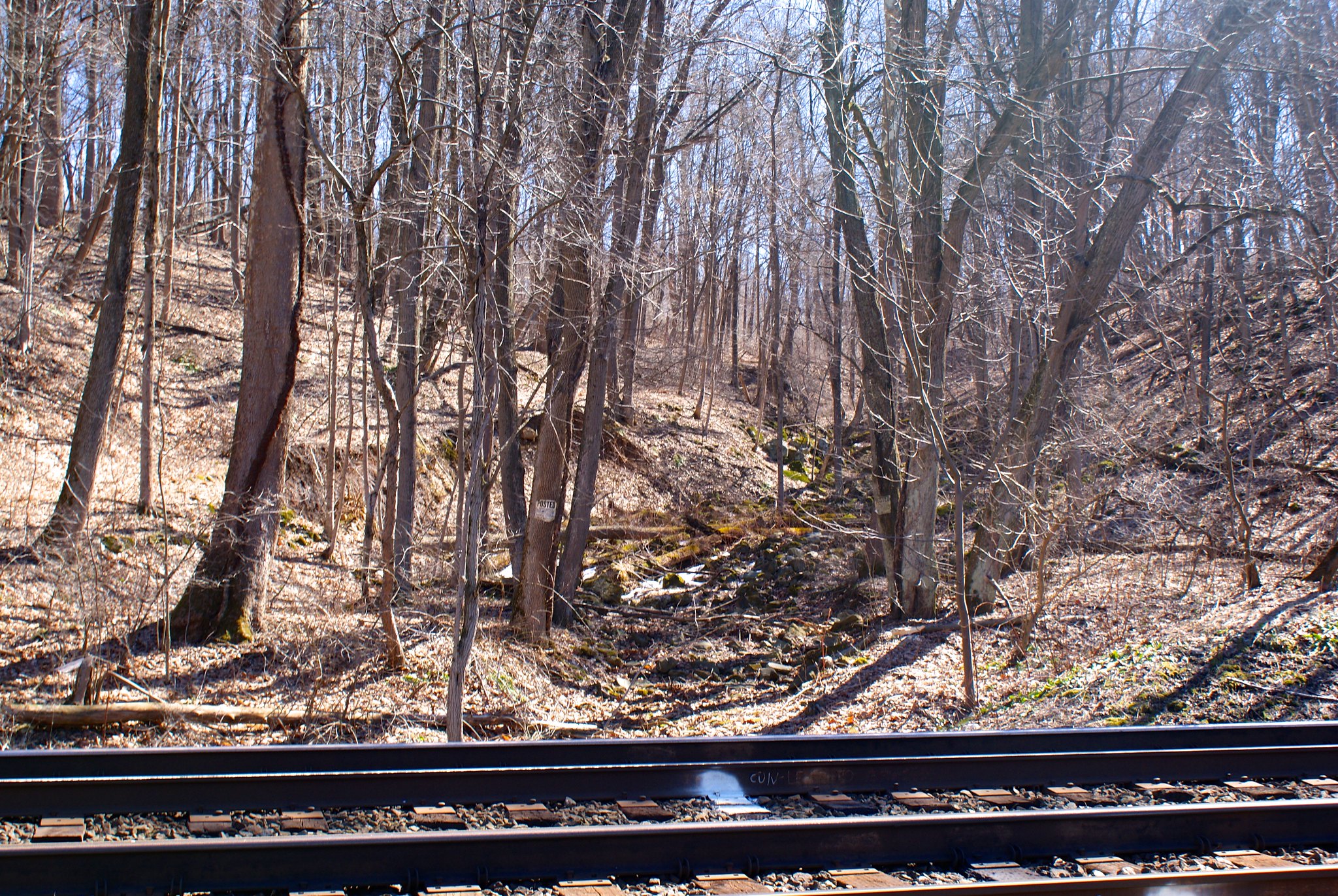
Shot 337 – Reddington Road RR Ruins 1
Down near the river I had to hop out of the truck and go at it on foot to get to the crossing site. To do that I had to walk down some railroad tracks. There are some old ruins towards the river you can see from the tracks. I wonder what this was?

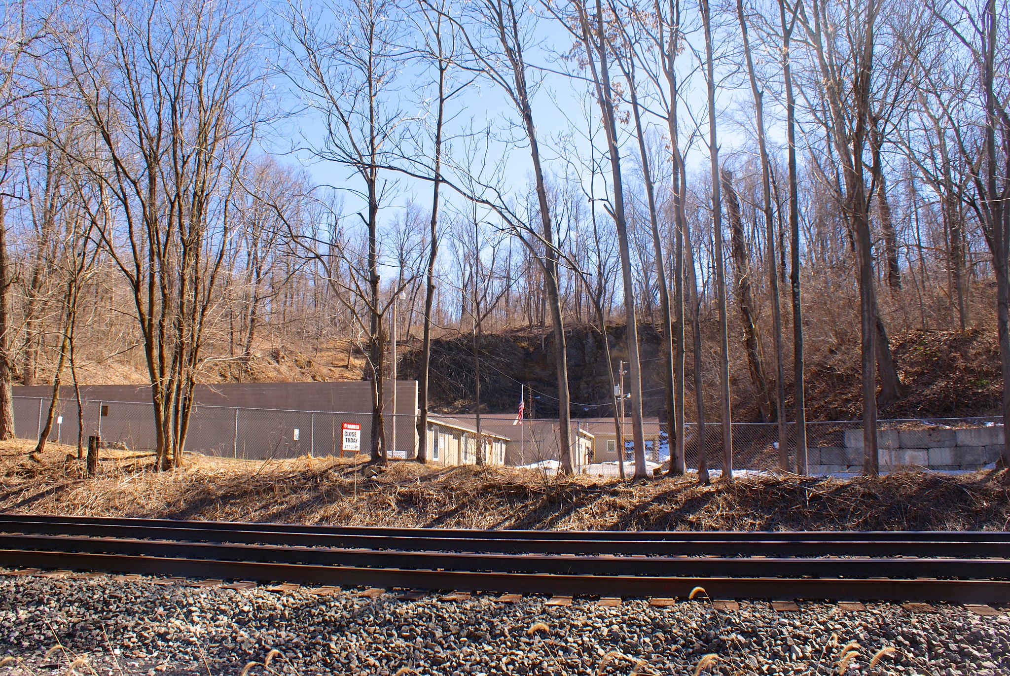
Shot 338 – Reddington Road Gun and Hunting Club
I originally thought I could drive to the crossing site but it turns out that road is a private one owned by a hunting and shooting club. PennEast will be abutting their land. As I was walking I was constantly hearing sounds of .22’s plinking away at targets in the southern range, and then loud shot gun blasts in the larger northern range. The gun ranges are in areas blasted out of the mountain bedrock. These enclosed areas reflect the sound perfectly so the shot gun blasts really slam against your ear drums. It was ever so slightly unsettling.

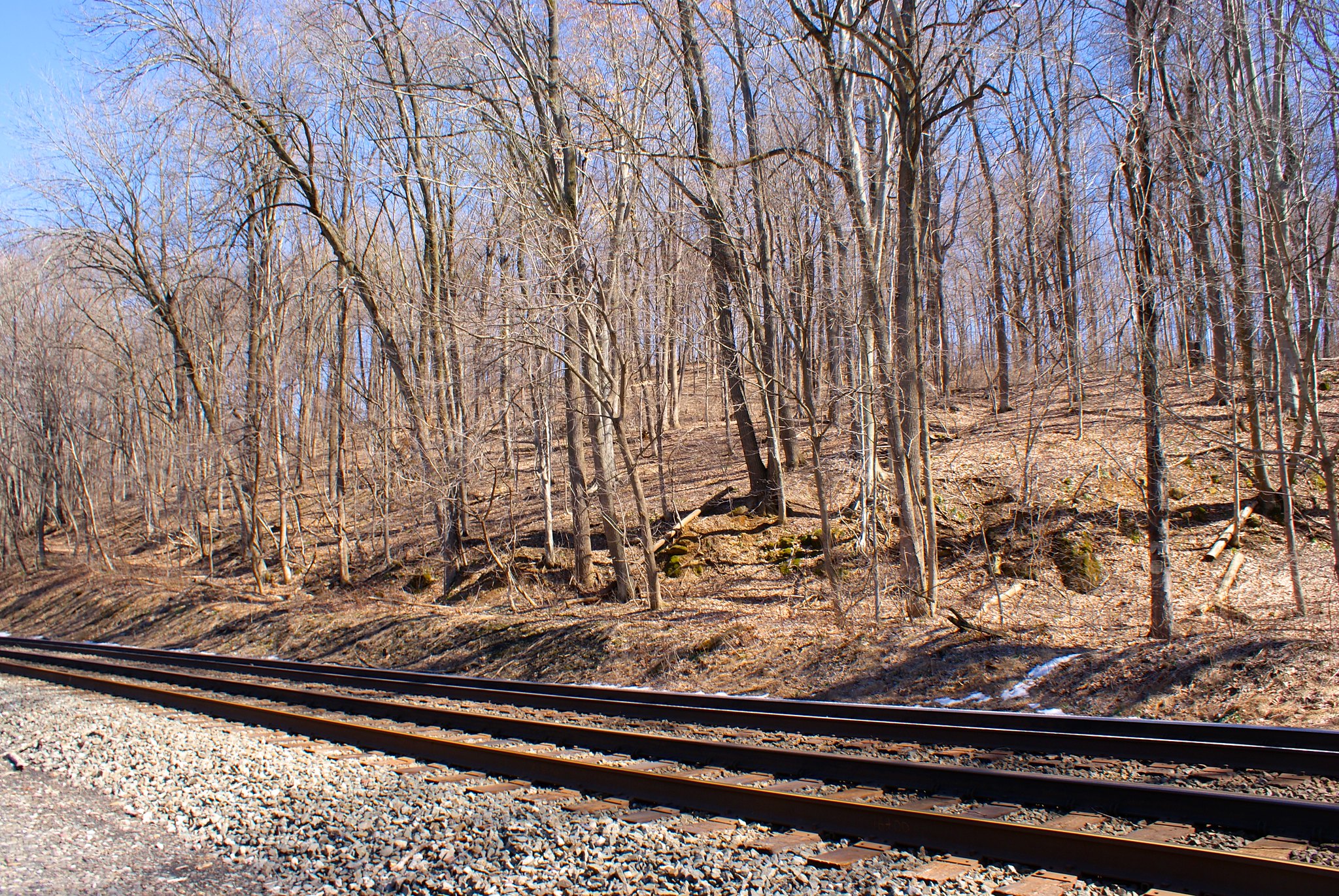
Shot 341 – Reddington Road RR to north stream valley
A stream to the east near the pipeline route.

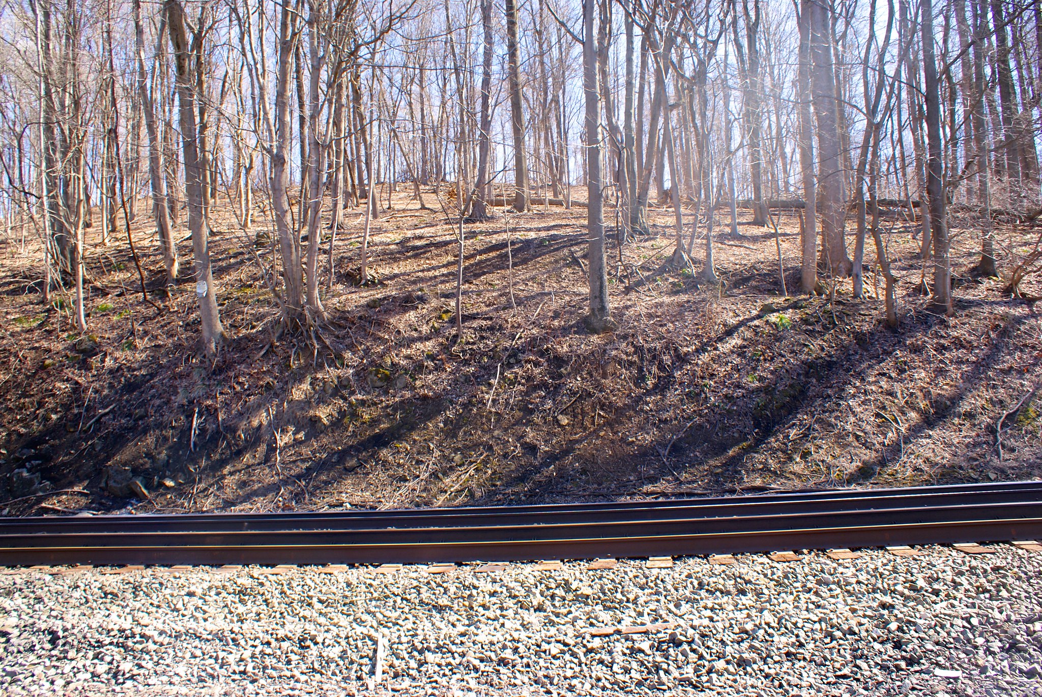
Shot 342 – Reddington Road RR to north east hills
The hills at the crossing site PennEast will have to go up.

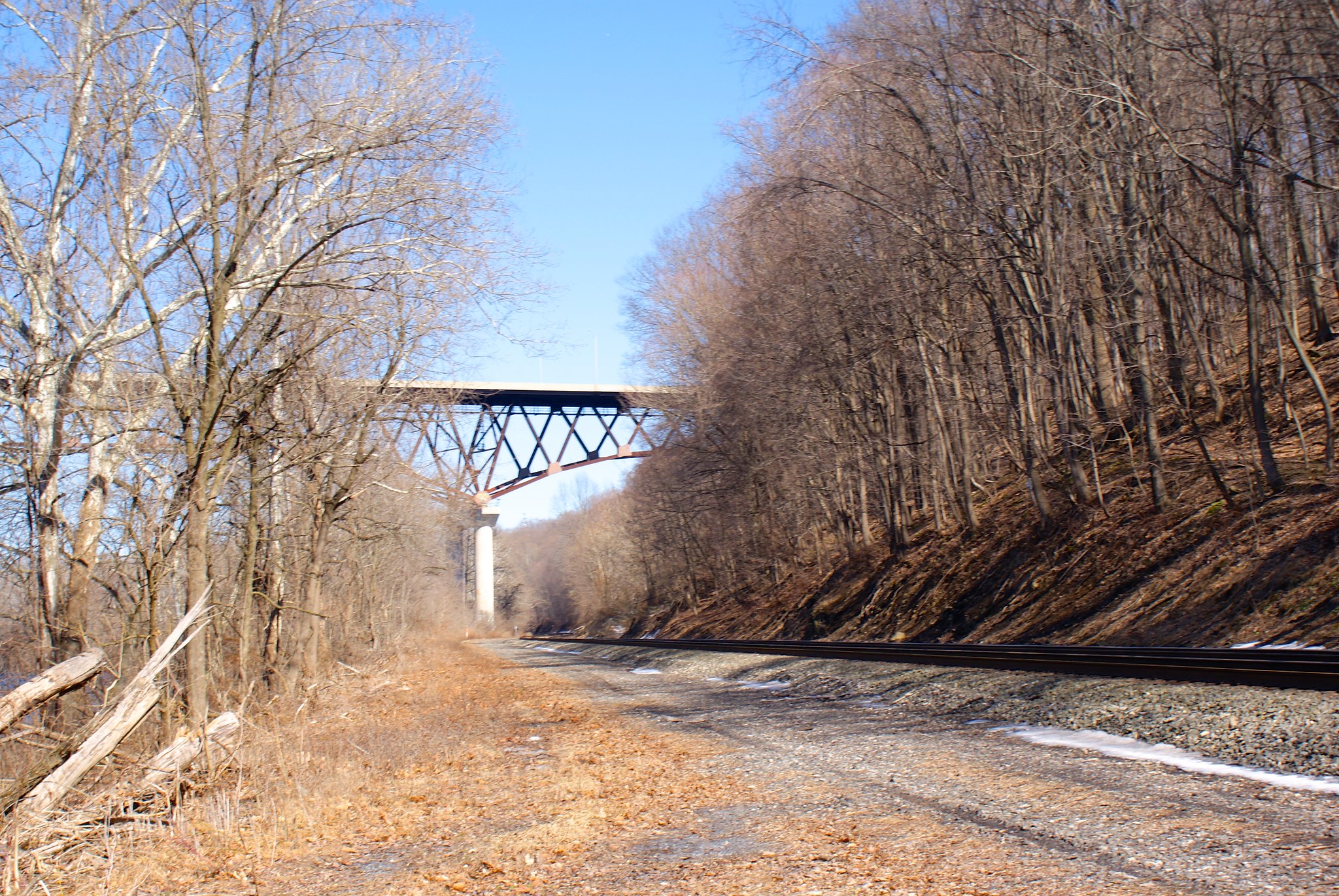
Shot 343 – Reddington Road Bridge Closeup
Bridge over the Lehigh at crossing site. You see high up the bridge is? The pipeline will be just as high a few hundred feet to the southeast of the bridge, and have to come down to the elevation I’m shooting from. And all of it will be through virgin forest.

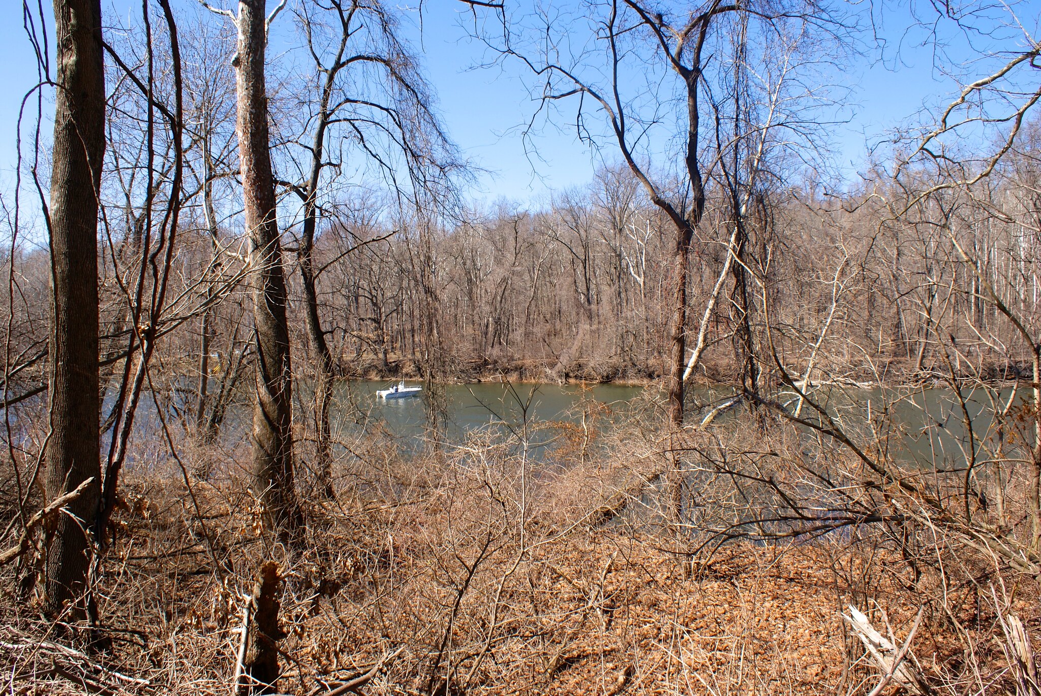
Shot 346 – Boaters on Lehigh
Some boaters were fishing right about where the pipeline will cross the river.

Shot 348 – Head on shot of pipeline route
A head on shot of the hill PennEast will have to blast their way up (right next to the river naturally).

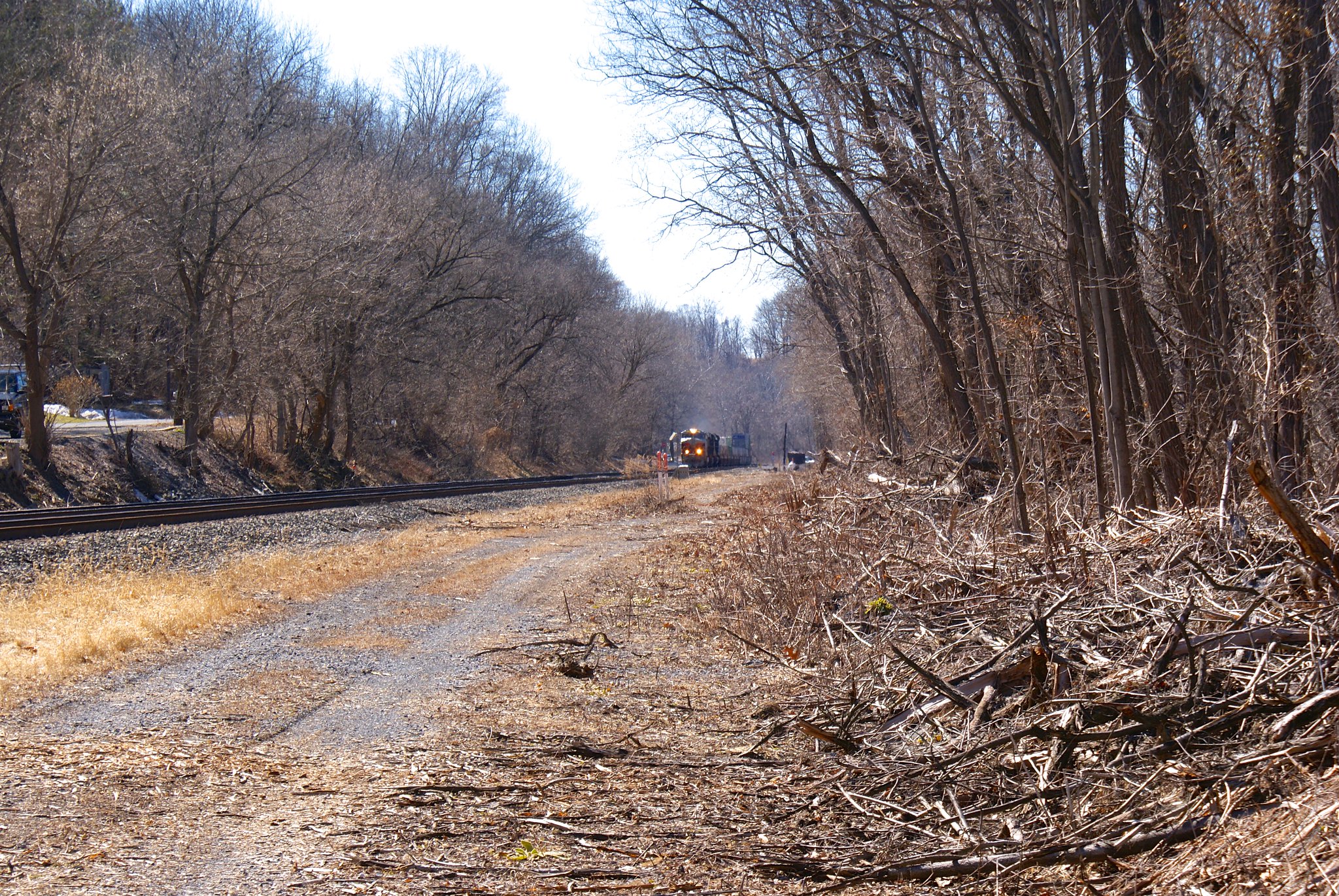
Shot 354 – Train coming!
For my final shot I was lucky to get a picture of a train running along the tracks. So this is a somewhat regularly used freight line. I have no idea how PennEast is going to convince the railroad company to let them dig under their tracks. The pipeline will have to withstand the weigh of thousands of tons of locomotive and freight going over it constantly along with the attendant vibrations.

Photographing the pipeline route, Part 14: Into Pennsylvania!

Update: Roads incorrectly identified as in Durham were changed to the correct town of Williams Township.

In part 14 we finally make it into Pennsylvania! It’s been a long trip and we’re still only halfway there.

Once again my wife and I took our trusty hound and pitbull mix along for the ride. The foxhound, Fern, wasn’t too sure about all of this driving until we hit this sign just into PA:

Once she saw that she knew PA was cool and approved of our mission.

Shot 256 – Riegelsville PA – Delaware Road Looking South
We were fortunate for our first day in PA to have good weather, in particular clear skies and lots of sun. We started out on Delaware Road looking south.

Shot 257 – Riegelsville PA – Delaware Road Looking South Zoom
A zoomed in shot of the previous one focusing on the rolling hills.

Shot 258 – Riegelsville PA – Delaware Road More To Right
Panning the previous shot more to the right.

Shot 259 – Riegelsville PA – Delaware Road More To Right Zoomed
A zoomed in version of the previous shot.

Shot 260 – Riegelsville PA – Delaware Road To South Extreme Zoom
An extreme zoom in on the hills

Shot 261 – Riegelsville PA – Delaware Road To North Rock Wall
Turning around and looking to the north we see a quaint rock wall lining the road, with more farms beyond the wall. It is very hard to imagine heavy machinery cutting into country like this to bury a pipeline 8′ in the ground. I somehow doubt PennEast is going to repair this wall rock by rock.

Shot 262 – Riegelsville PA – Delaware Road To North West
Looking down the road a bit.

Shot 263 – Riegelsville, PA – Spring Hill Road to South
We moved onto Spring Hill Road after that. As you can see it’s just all farm country here.

Shot 264 – Riegelsville, PA – Spring Hill Road to South Stream
Zoomed into a stream to the south that the pipeline will cut across.

Shot 265 – Riegelsville, PA – Spring Hill Road Koplin Farm
Posted sign from Kopling Farm. Keep them varmints from PennEast out!

Shot 266 – Riegelsville, PA – Spring Hill Road to North
The view turning to the North. A slanted field along the length of the pipeline route, probably bad news during construction, debris will likely flow downhill over the fields if it rains heavily at all during construction time.

Shot 269 – CountyLine Road and Bougher Hill Road
Moving along to County Line road, I saw a “Stop the Pipeline!” sign had fallen over, likely from all the rapid cycles of snow/freeze/melt/repeat we’ve been going through in the past two months. I propped it back up and got a quick shot, the pipeline route is a couple of hundred feet down the road from this intersection.

Shot 269 – CountyLine Road to south
CountyLine road runs along a little ridge as you can see. The view south is simply awesome. The pipeline will be coming through the middle of this shot.

Shot 270 – CountyLine Road to south pan right
Same as above but panned to the right a bit.

Shot 271 – CountyLine Road Crossing Area
Looking down the road at the approximate crossing area.

Shot 272 – CountyLine Road to North
Looking more to the north on the road.

Shot 273 – CountyLine Road Southern Zoom
A zoomed in shot of the scenic view to the south.

Shot 275 – Durham PA, Durham Road and Bachman Lane
After that we did Durham Road, with yet another Stop PennEast Pipeline sign 🙂

Shot 276 – Durham PA, Durham Road Old Farm
An old farm along the route, not sure if it’s active or not, some of the buildings appeared to be in pretty bad shape.

Shot 277 – Durham PA, Stop PennEast sign
A closeup of yet another pipeline sign on Durham Road.

Shot 278 – Durham PA, Durham Road Signs
A cluster of signs at a farm on Durham Road.

Shot 279 – Durham PA, Durham Road Farm House
A shot of the farm house and all their anti-pipeline signs on Durham Road.

Shot 281 – Williams Twp PA, Raubsville Road to the North
A farm on Raubsville Road had both directions covered with their anti-pipeline signs. The open space was followed by a gentle up hill in the distance.

Shot 282 – Williams TwpPA, Raubsville Road to the South
Looking to the south from Raubsville Road. At the trees in the middle of the shot runs Fry’s Run, a creek the pipeline will be crossing.

Shot 283 – Durham PA, Raubsville Road to due South
Moving to a due-south shot on the road.

Shot 284 – Williams TwpPA, Raubsville Road to South East
Looking now to the South East.

Shot 285 – Williams TwpPA, Raubsville Road to due north
Looking due North now.

Shot 286 – Williams TwpPA, Raubsville Road to north west
Looking straight along the pipeline route to the north.

Shot 287 – Williams TwpPA, Hexenkopf Road Posted Sign
A posted sign over on Hexenkopf Road.

Shot 288 – Williams TwpPA, Hexenkopf Road to West
The pipeline kinks to a more east/west routing in this area. Here we’re looking from Hexenkopf Road to the West.

Shot 289 – Williams TwpPA, Hexenkopf Road to East
Looking to the east.

Shot 290 – Williams TwpPA, Hexenkopf Road to East
Looking east dead along the proposed pipeline route.

Shot 291 – Williams TwpPA, Hexenkopf Road anti pipeline sign
A house and anti-pipeline sign just to the north of the pipeline route.

Woman says her elected officials have “turned their backs on the wishes of their residents”

Lynn from Williams Township, PA is very unhappy with her township.

I’ve lived in Williams Township for 41 years, attracted by the open space and beautiful landscape – corn fields, a beautiful river and pure water.

A 36 inch 108 mile pipeline would destmy that picture. Farmers fields would be upheaved and would not be returned to its original usefulness and bounty (just ask a farmer).

Our township elected officials have tumed their backs on the wishes oftheir residents. They have voted against issuing a resolution opposing the pipeline. It’s not in “their” backyards. But it is in “their” township and it affects the health and well-being oftheir residents. It’s not like a resolution would stop the construction of this pipeline, but it would get our voices out there along with many other townships in PA and NJ.

It is said that the pipeline would create jobs —but not for our local workforce. The pipeline brings its own workers. The pipeline is already constructed. It just has to be buried. It doesn’t bring any revenue to the townships it travels thru or even to the US —it is headed overseas where big corporations will enjoy the profits. Are these the profits That Obama plans on taxing’? The oil is not even going to be available to the people of the US to warm their homes.

Our township has been on the forefront of open space preservation and not for an easement for the pipeline to cross these pristine lands. Much of the pipeline will traverse carbonate rock which is prone to sinkholes which the township has cautioned for recent construction projects. How will the pipeline blasting affect these possibilities’? How comfortable are you ifyou live in the 955′ radius potential impact zone’? How easy will it be when you try to sell your well-maintained homestead within the girth of the-pipeline? The pipeline could cross 33 wetland complexes and 60 waterways, including the Delaware and Lehigh Rivers and many aquifers may be adversely affected.

As well-stated by David Winston of Riegelsville:

“In a supposedly fee country, I find it despicable that this groups of corporations intends to shove an unwanted and potentially dangerous gas pipeline thorough so many communities, preserved farmlands and green space, sensitive aquifers and watersheds (including the Delaware River) and areas rife with limestone formations and the resultant sinkholes.”

From what I’ve heard PA has had a rough time of it historically when it comes to many materially-intensive (and invasive) industries. Coal mines, metals mines, shale oil and gas, pipelines. And then it gets even more complicated with the sinkhole/karst situation.

I can understand if Pennsylvanians are a bit life-weary from it all and are resigned to fate. But I see it as a positive sign that some towns in PA actually ARE fighting the pipeline and opposition resolutions are being passed there. I don’t know if they were encouraged by every town in NJ along the pipeline route passing their own resolutions against it, or some other forces in work, or combination thereof…but I think it’s an excellent sign. People of all backgrounds are rising up against this pipeline and the many other ones slated to follow it.

I’m reminded of two quotes from Stephen King’s riveting novel The Stand when I think of this situation.  Those in opposition remember:

The place where you made your stand never mattered. Only that you were there…and still on your feet.”

And to PennEast, and every other big energy corporation involved in creating an environmental and physical disaster:

That wasn’t any act of God. That was an act of pure human fuckery.