As some are aware, PennEast changed their route yet again in March 2015. The route is mostly the same but there are a few areas that have significant changes. This post shows the changes in the route between the January 2015 and March 2015. I do this by showing both routes in a Google Earth view. The blue shaded area is the new March route, the pinkish-purple area is the January 2015 route. Both are showing the 400′ survey corridor. The construction corridor will shrink down to 100′ (with many exceptions being bigger!), and the final easement being 50′.
West Amwell, NJ
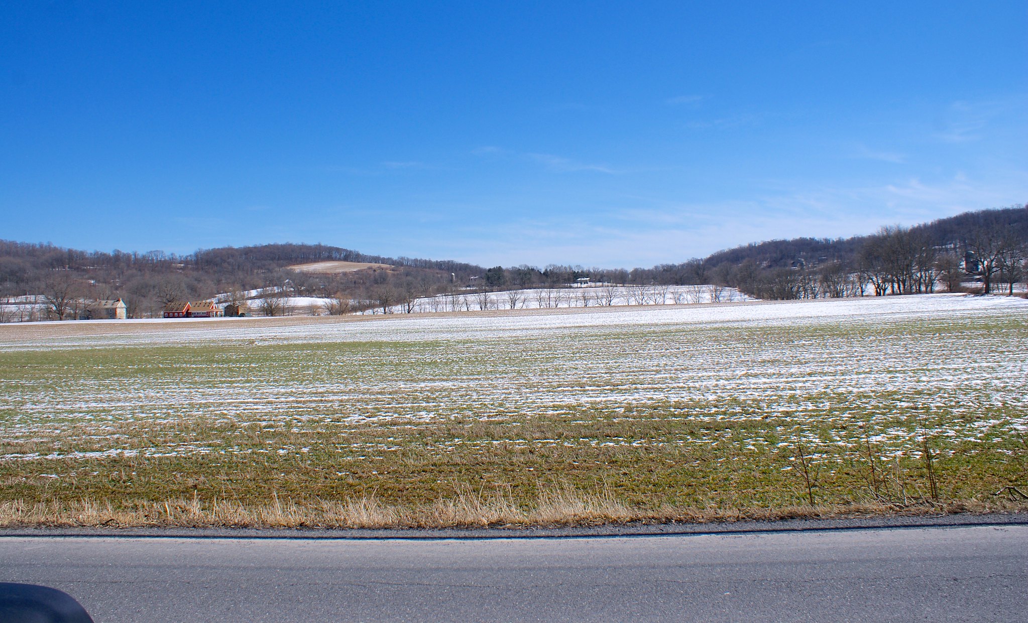
The only change of note in West Amwell is in the area of Hewitt Road in the southern part of the township.
Here’s an overview of the area surrounding the change. Remember blue is the new route, pinkish is the old one:
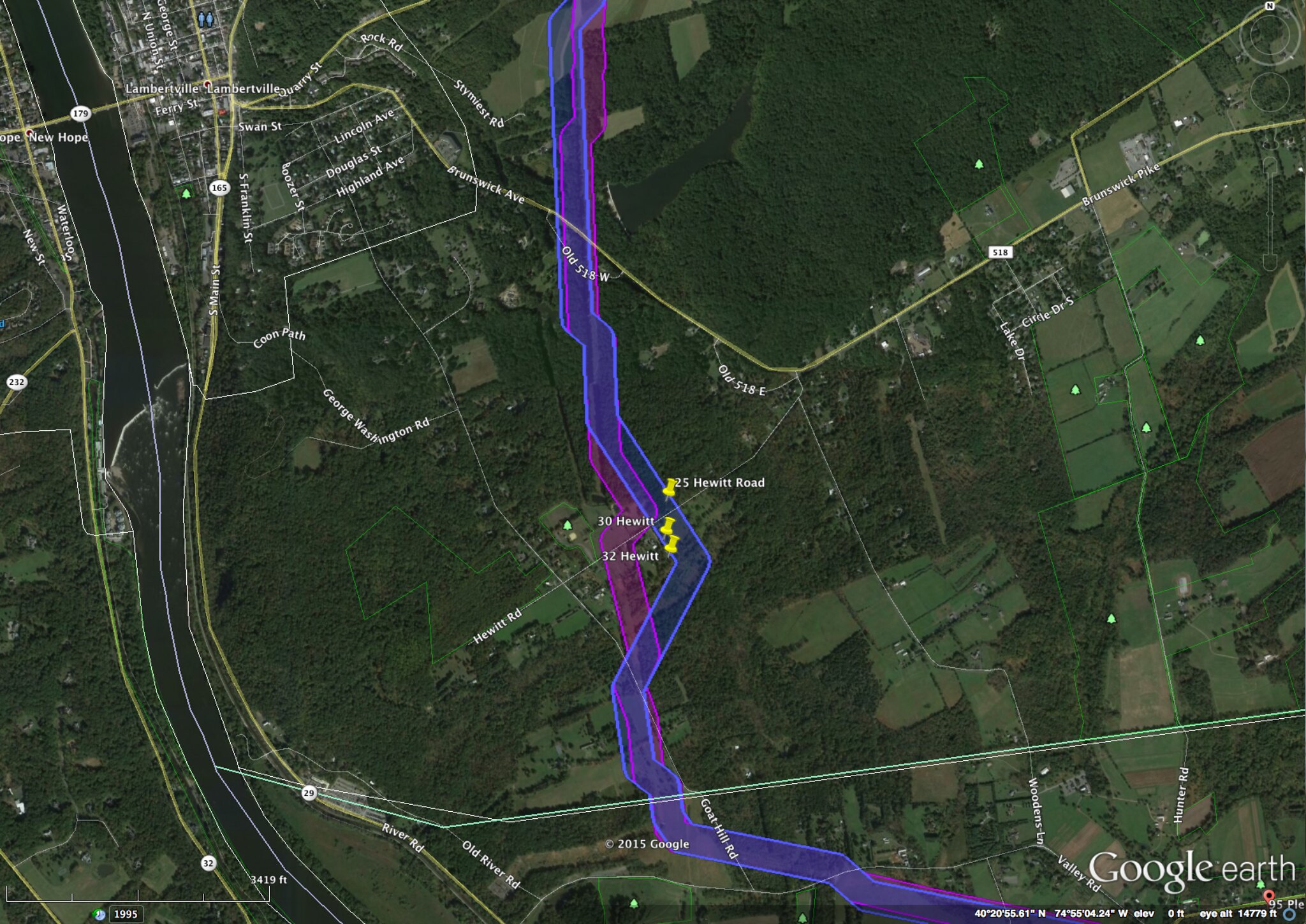
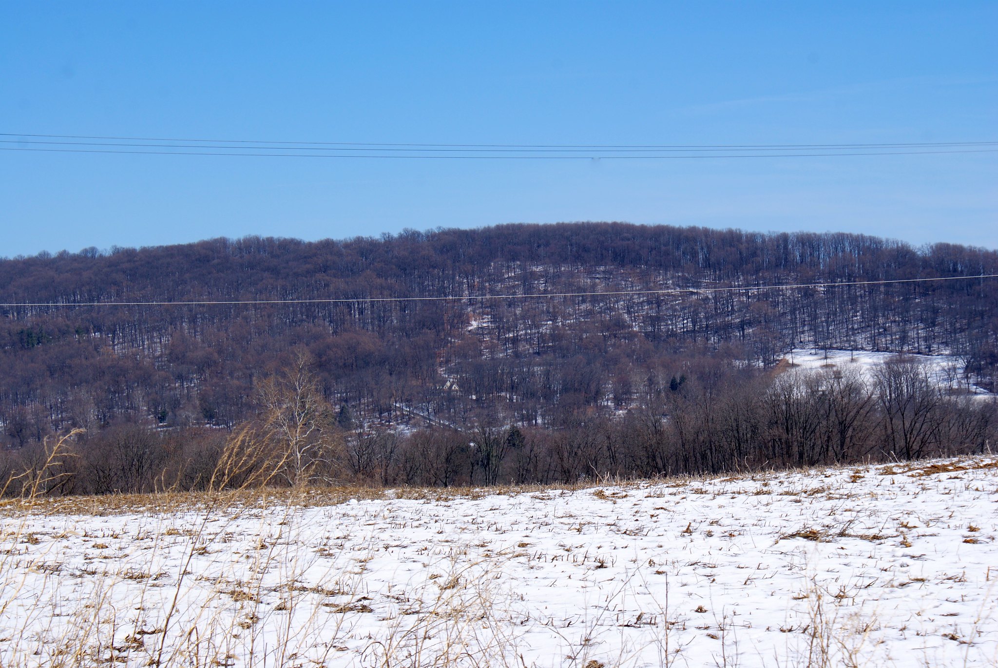
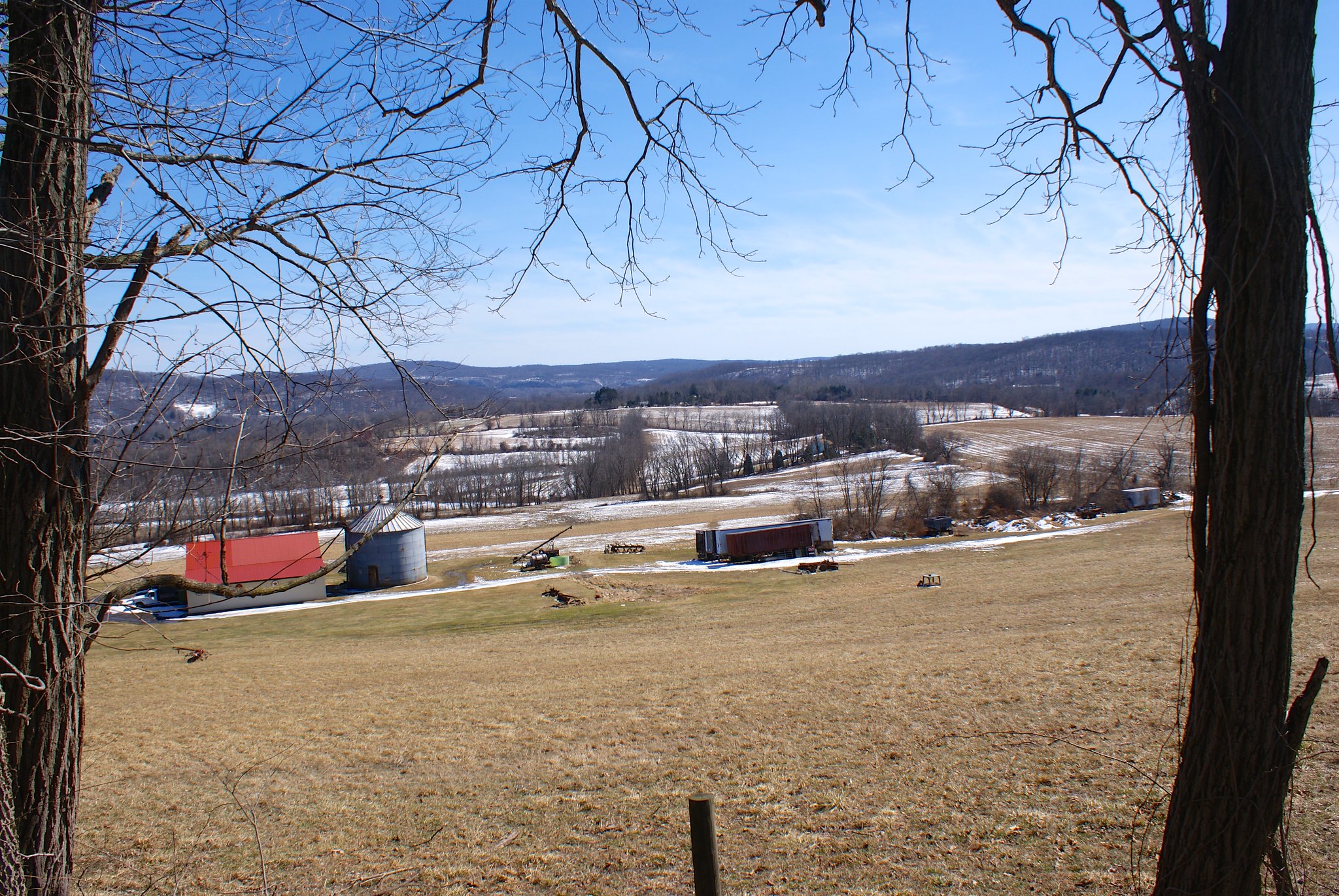
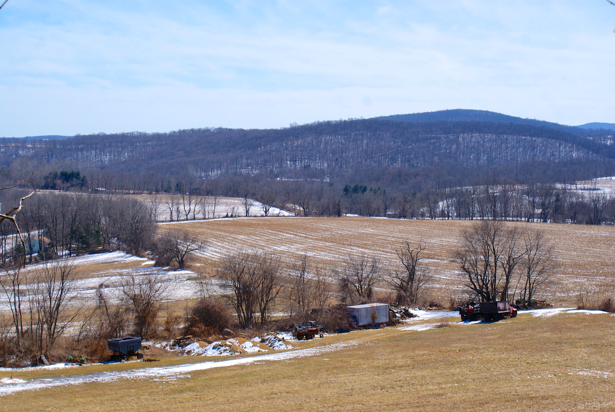
This is the so-called Goat Hill area of West Amwell. Lambertville is to the North West, the Mercer County/Huntertdon County line is the near horizontal line near the bottom of the screenshot.
And here is a zoom in of the affected properties. Note that the white lines outline each parcel so you can see exactly where it is relative to property lines:
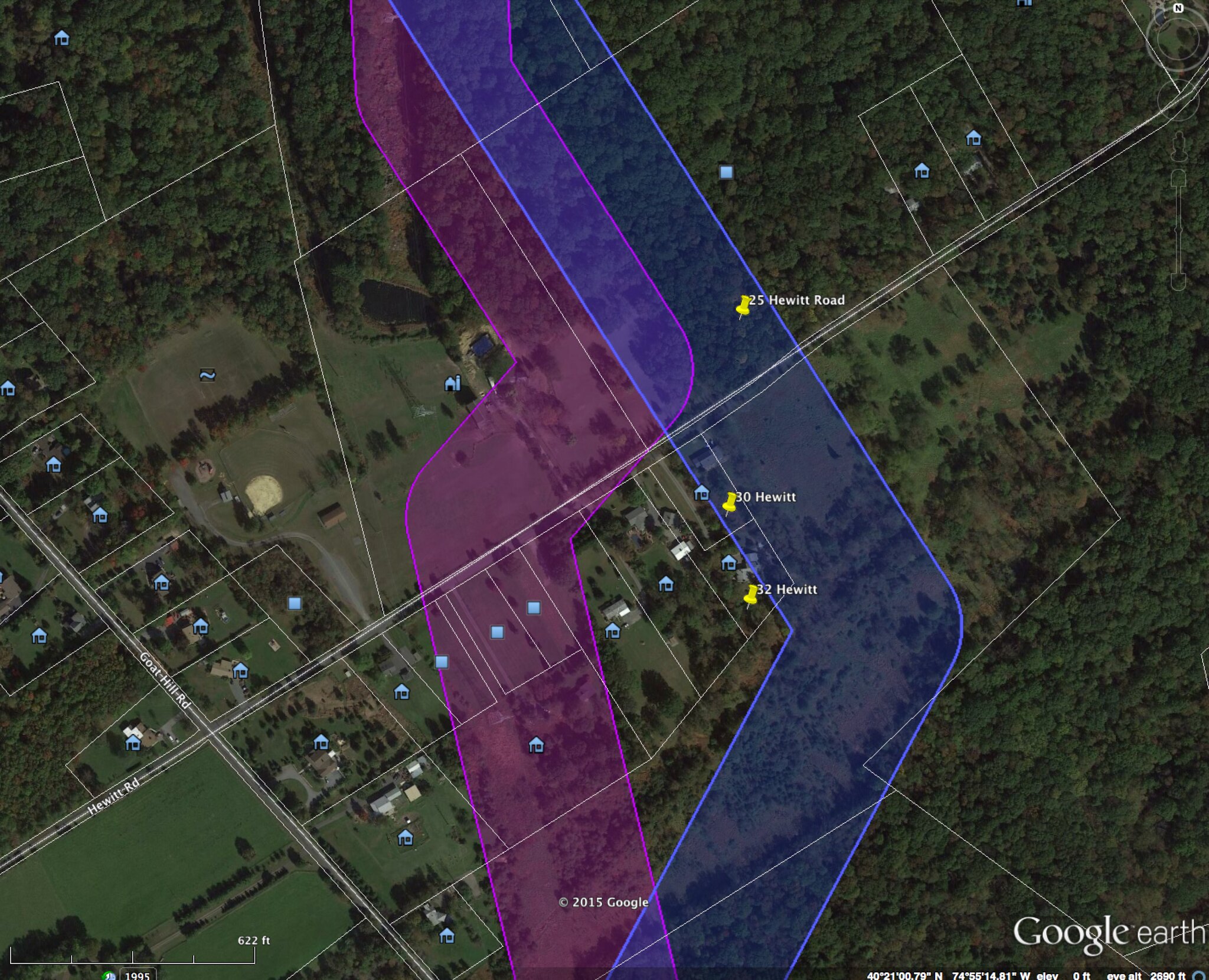
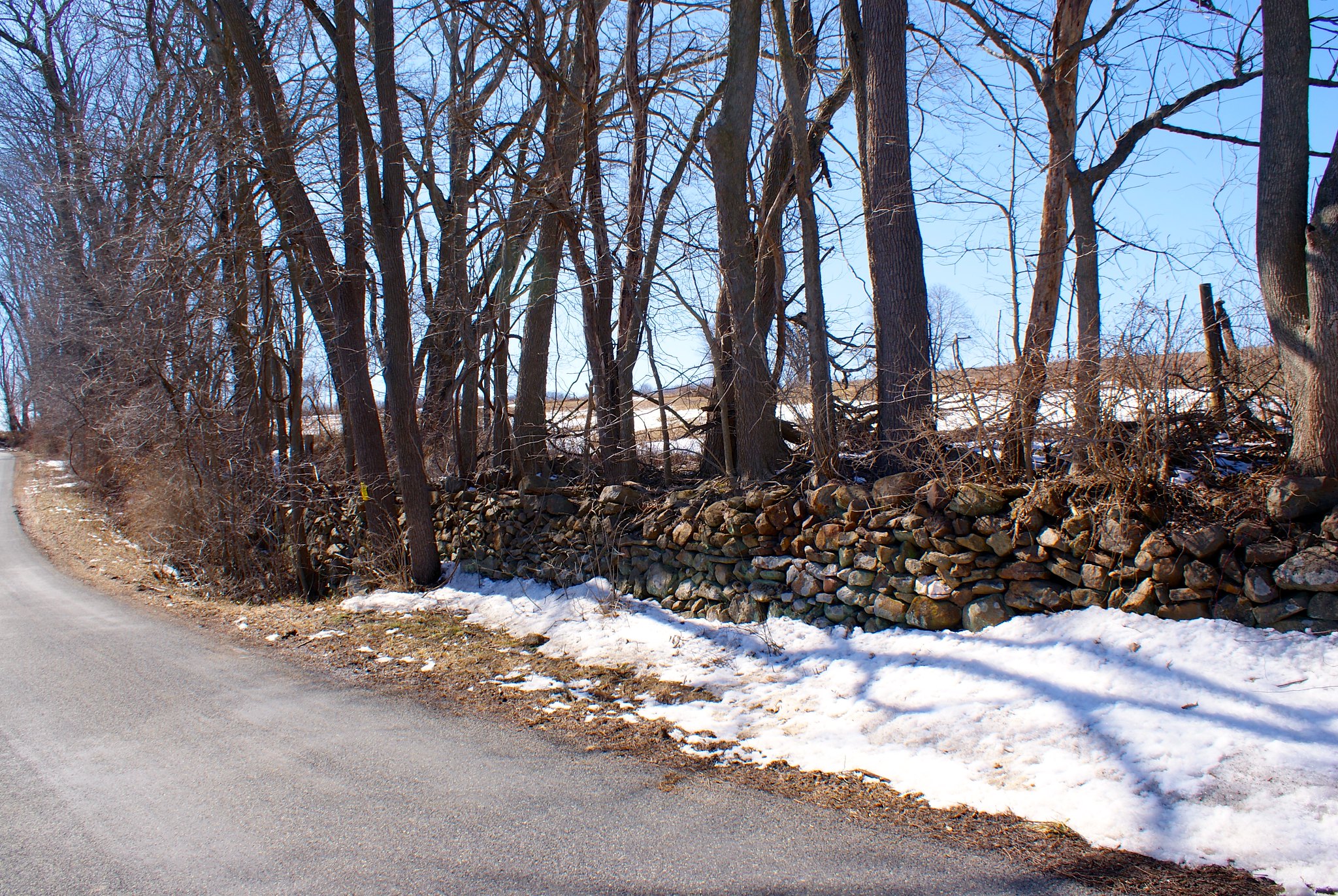
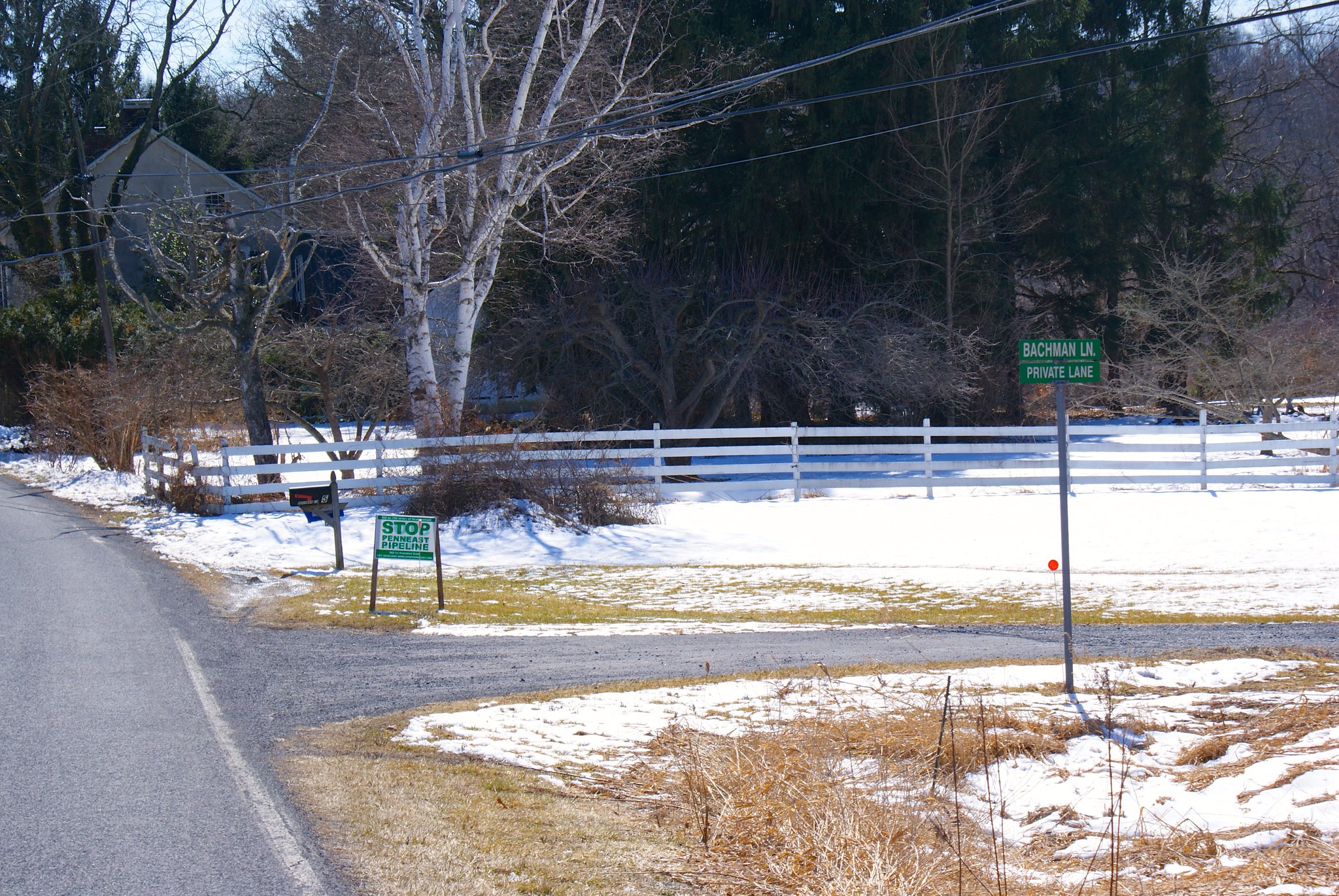
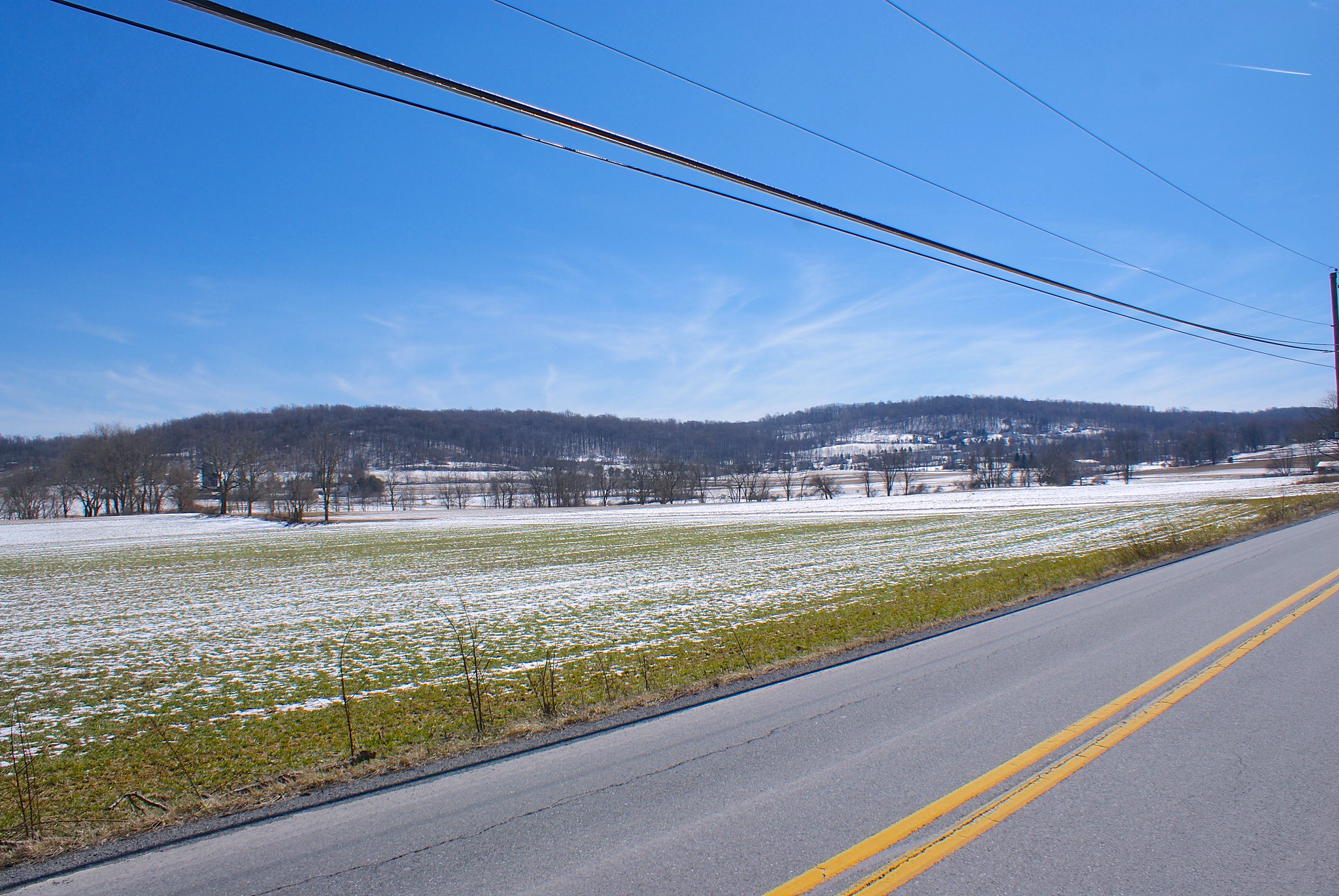
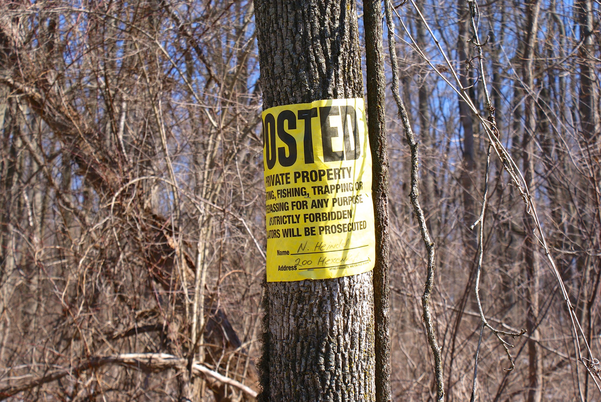
PennEast said this change was done to avoid a new house that was built a couple of years ago around 38 Hewitt Road. So now instead it includes two new houses in the survey corridor – 30 Hewitt and 32 Hewitt (mine, gulp).
The new route now runs through more historical quarry holes to the north west of Hewitt Road, and also runs into extensive west lands to the SouthEast of my property at 32 Hewitt.
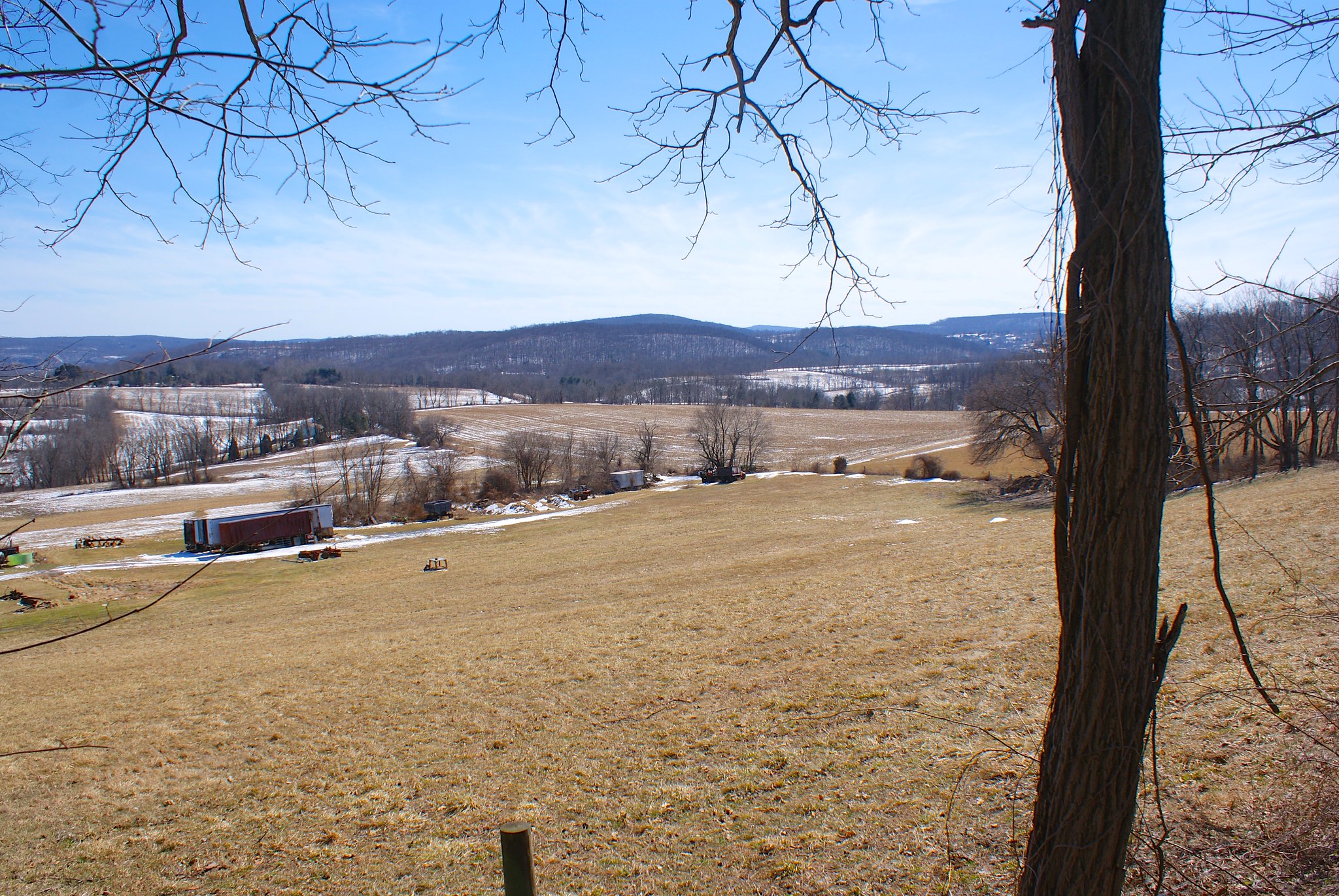
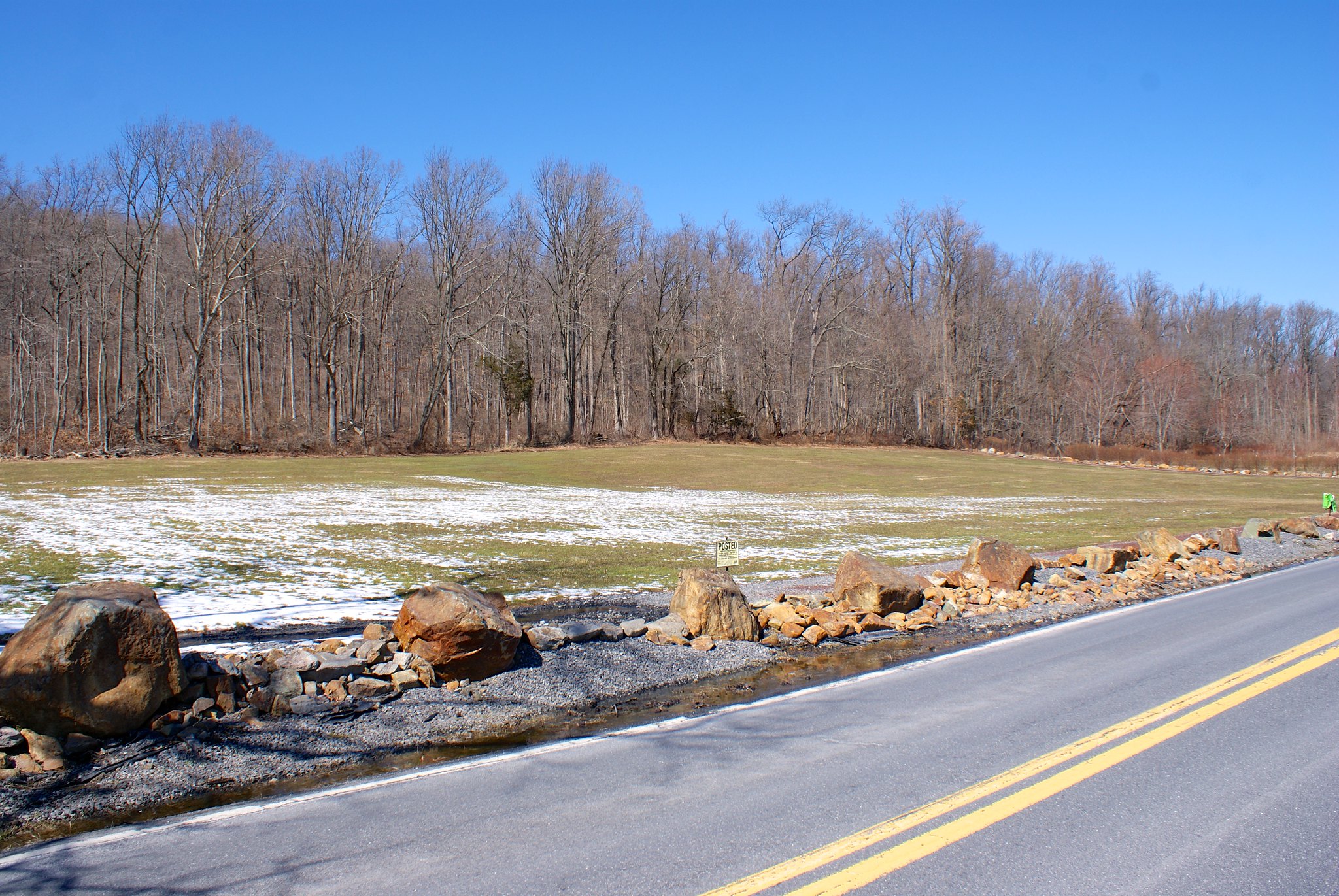
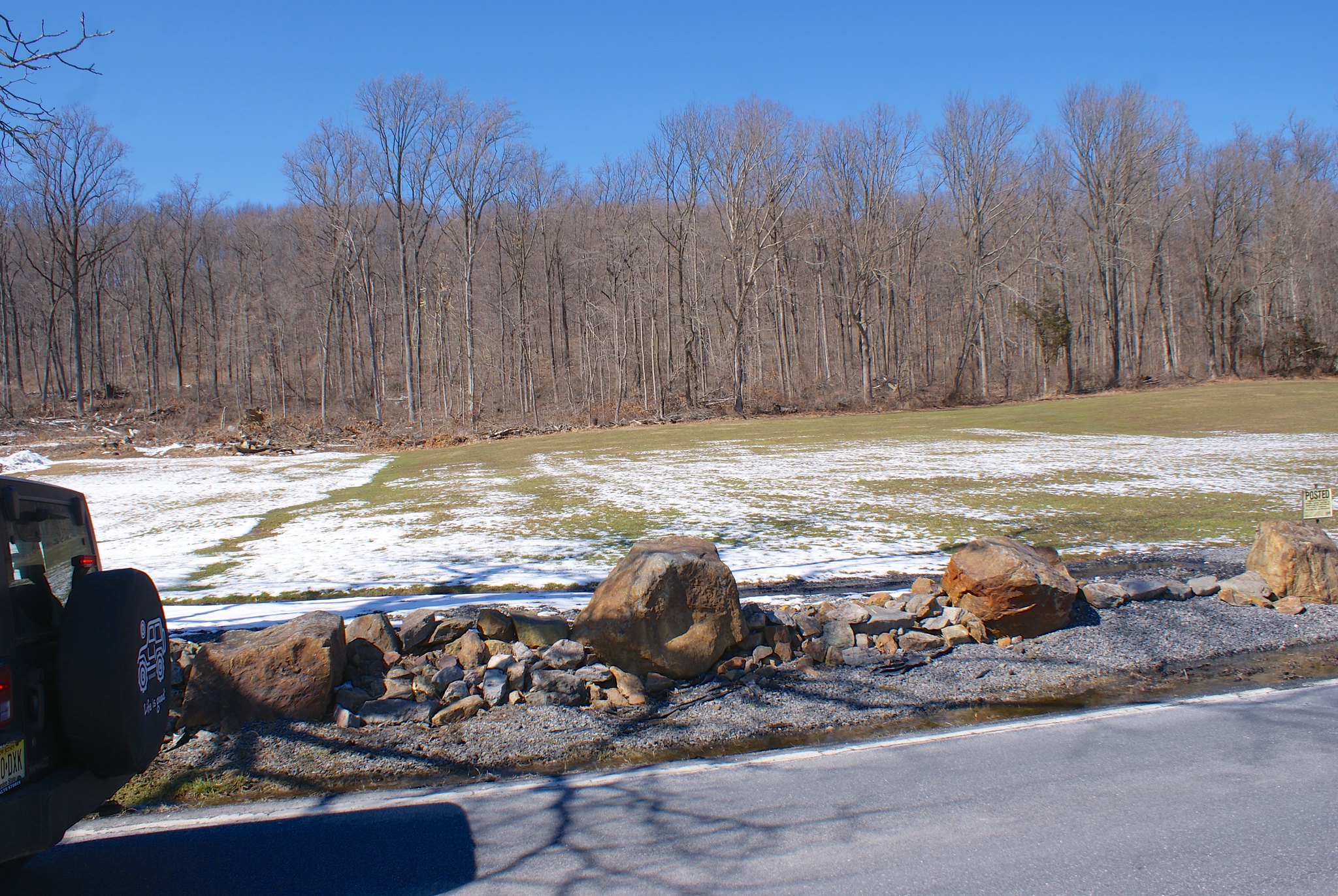
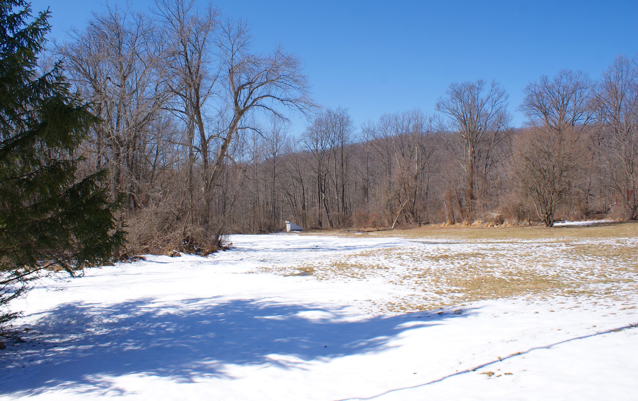
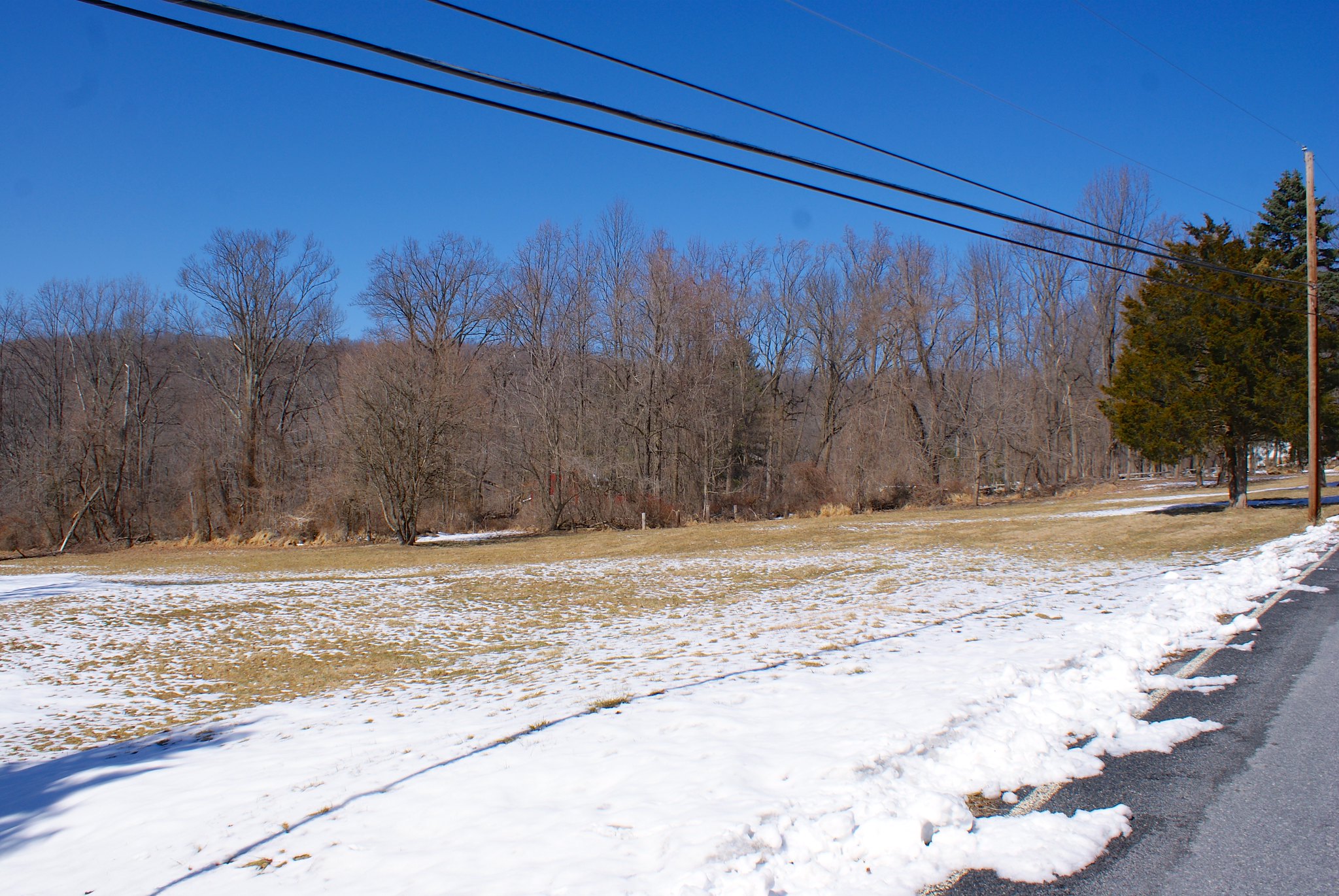
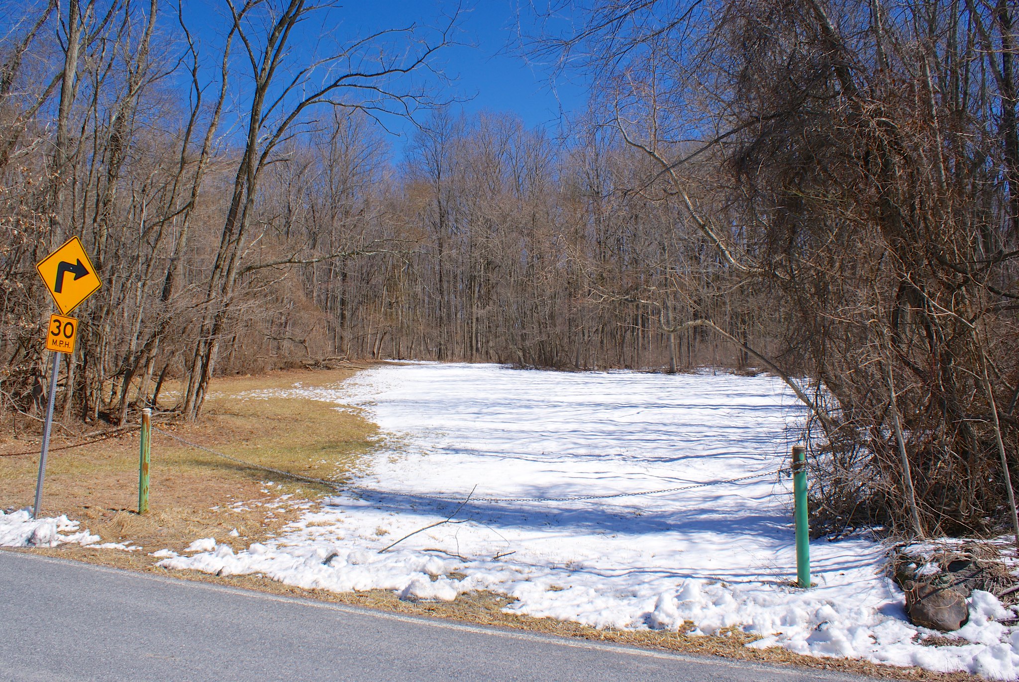
This 3D view shows how much worse this new route is. It now has the pipeline going down a steeper slope. In addition, the yellow lines show where there are extensive wetlands. First there is a shelf that runs parallel to Hewitt Road that the pipeline will cut right across. The pipeline then continues into a lowlands area that is also all wetlands (the yellow-line area that is devoid of trees in the imagery).

Holland/Milford area
The next change is in either Holland Township or Milford (not 100% sure which). This change brings the pipeline route closer to the Milford bluffs, which has gotten quite a few residents in the area up in arms. It also includes the new lateral route to the Gilbert generating station. Here’s the overview:
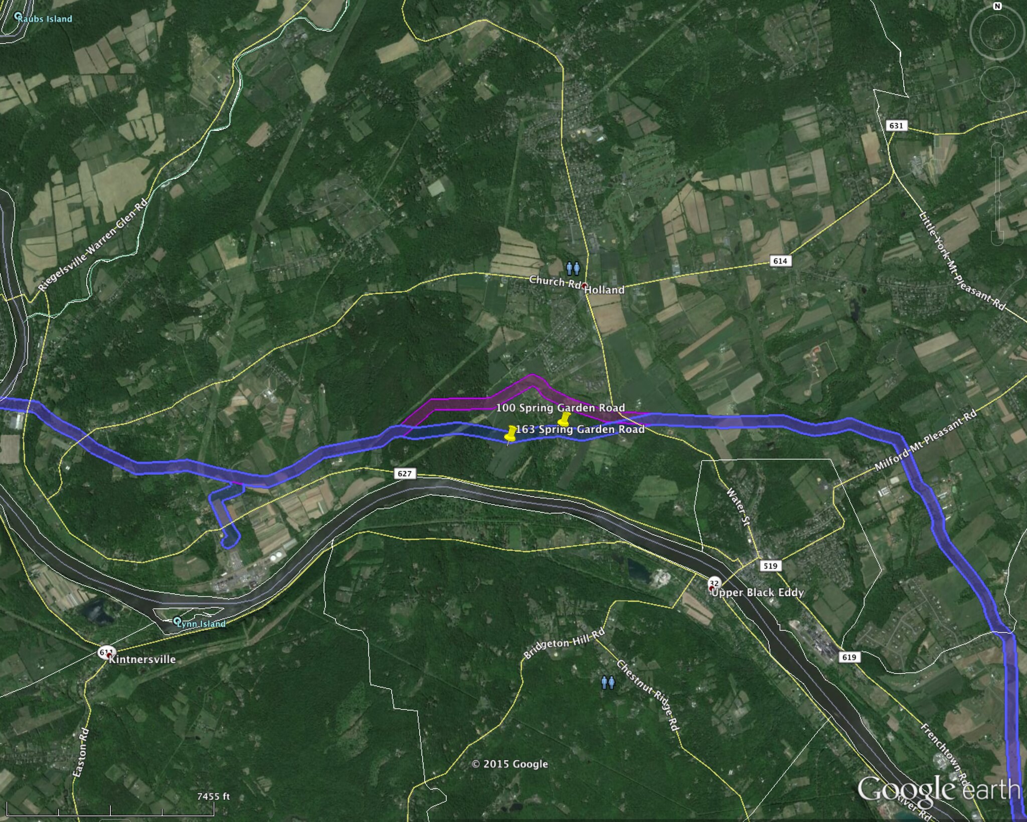
Here’s a closeup of the route changes going across Spring Garden Road. It’s now going through the property of 100 Spring Garden Road and 163 Spring Garden Road. And as I noted above it’s now closer to the Milford bluffs along the Delaware, a highly sensitive region ecologically.
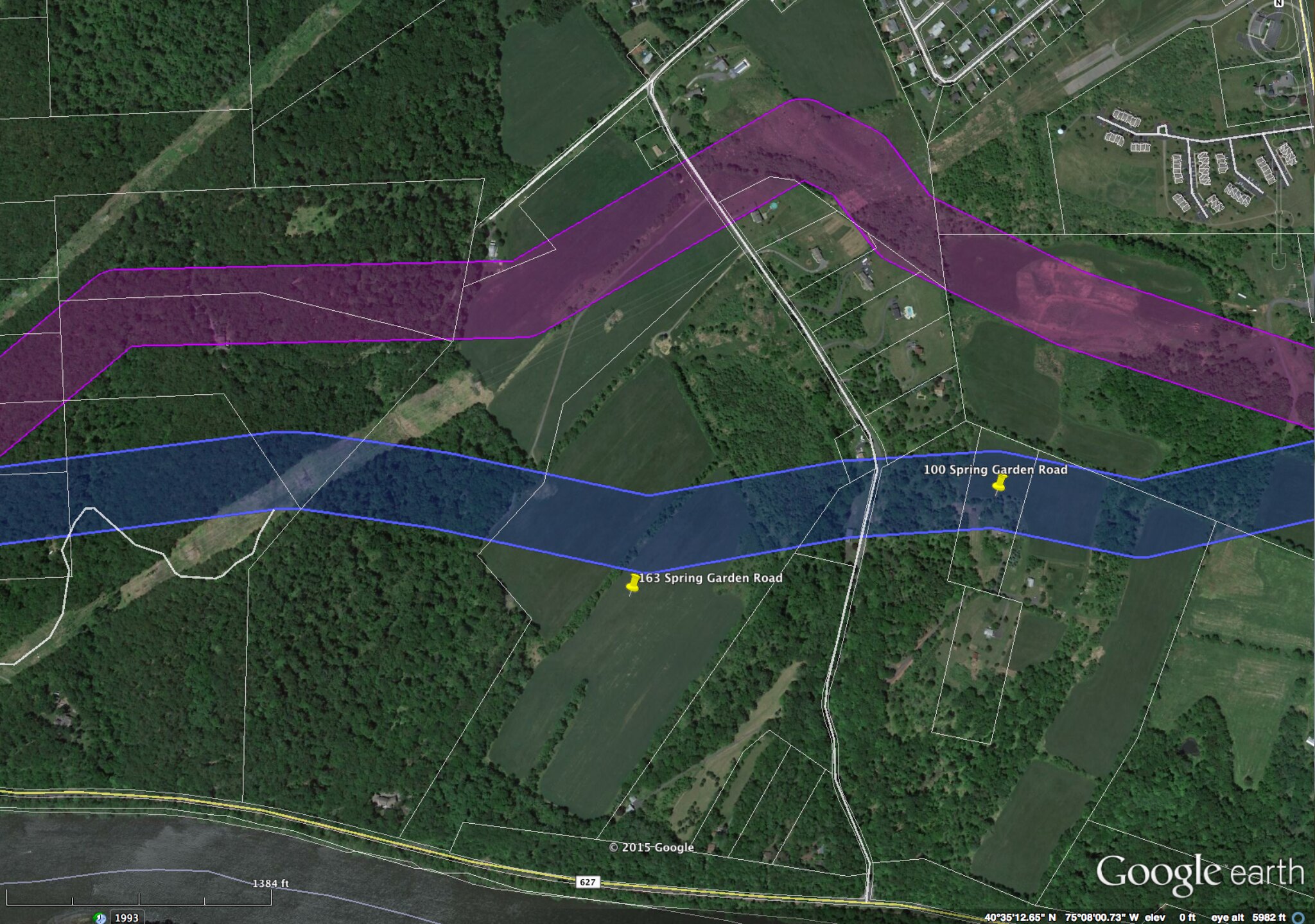
Curious why they call them the Milford “bluffs”? Here’s why:

The bedrock around here comes right to the edge of the Delaware River and then drops down sheer to the water. They are opening up more virgin forest here right near sheer drops into the Delaware. Erosion concerns are very strong here. This is also in the area of high arsenic concentrations. They’ll be blasting and doing their construction in an arsenic hot spot with runoff right into the Delaware River.
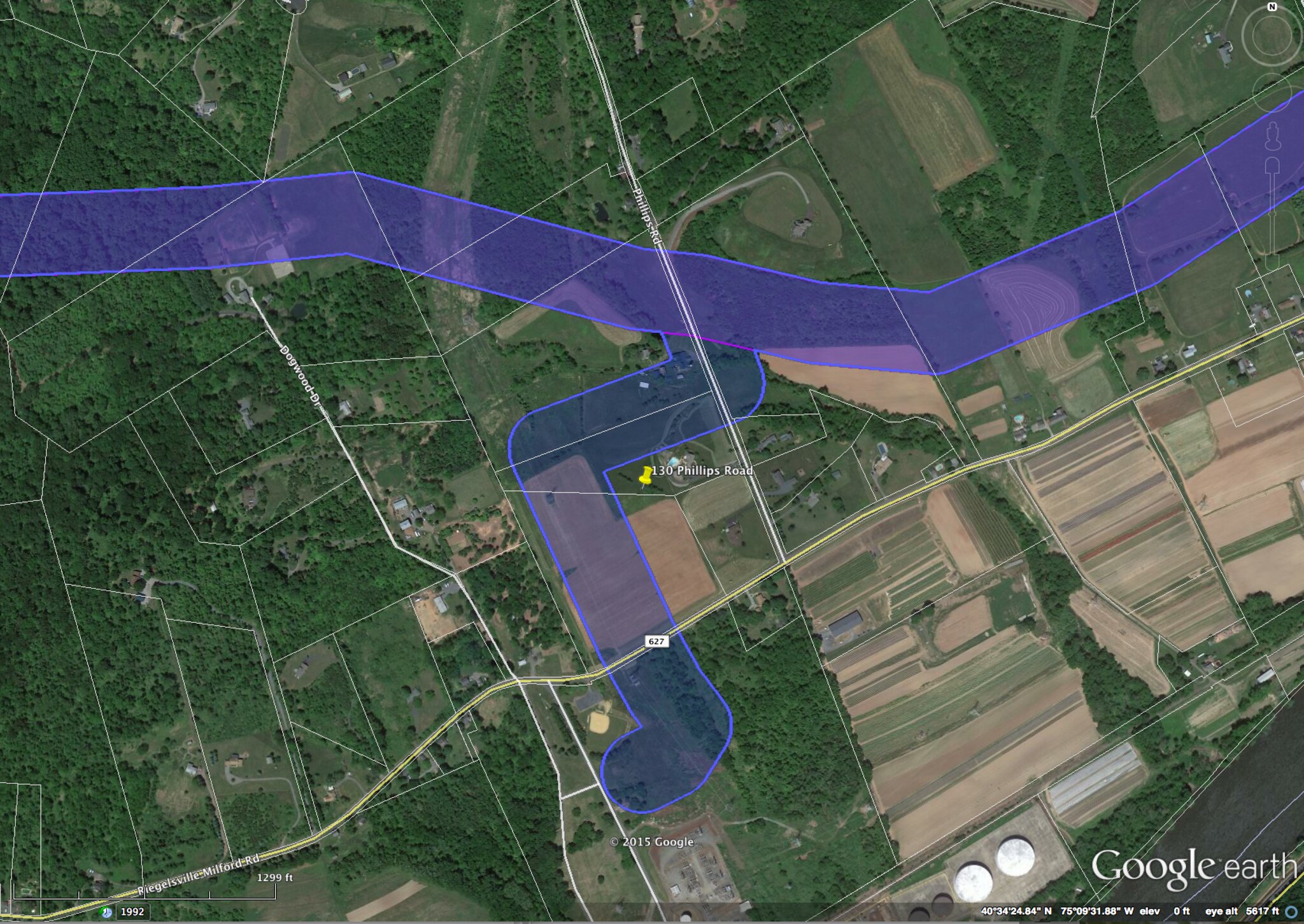
And here is a zoom into the Gilbert lateral. 130 Philip’s Road is going to have a very significant impact from this.
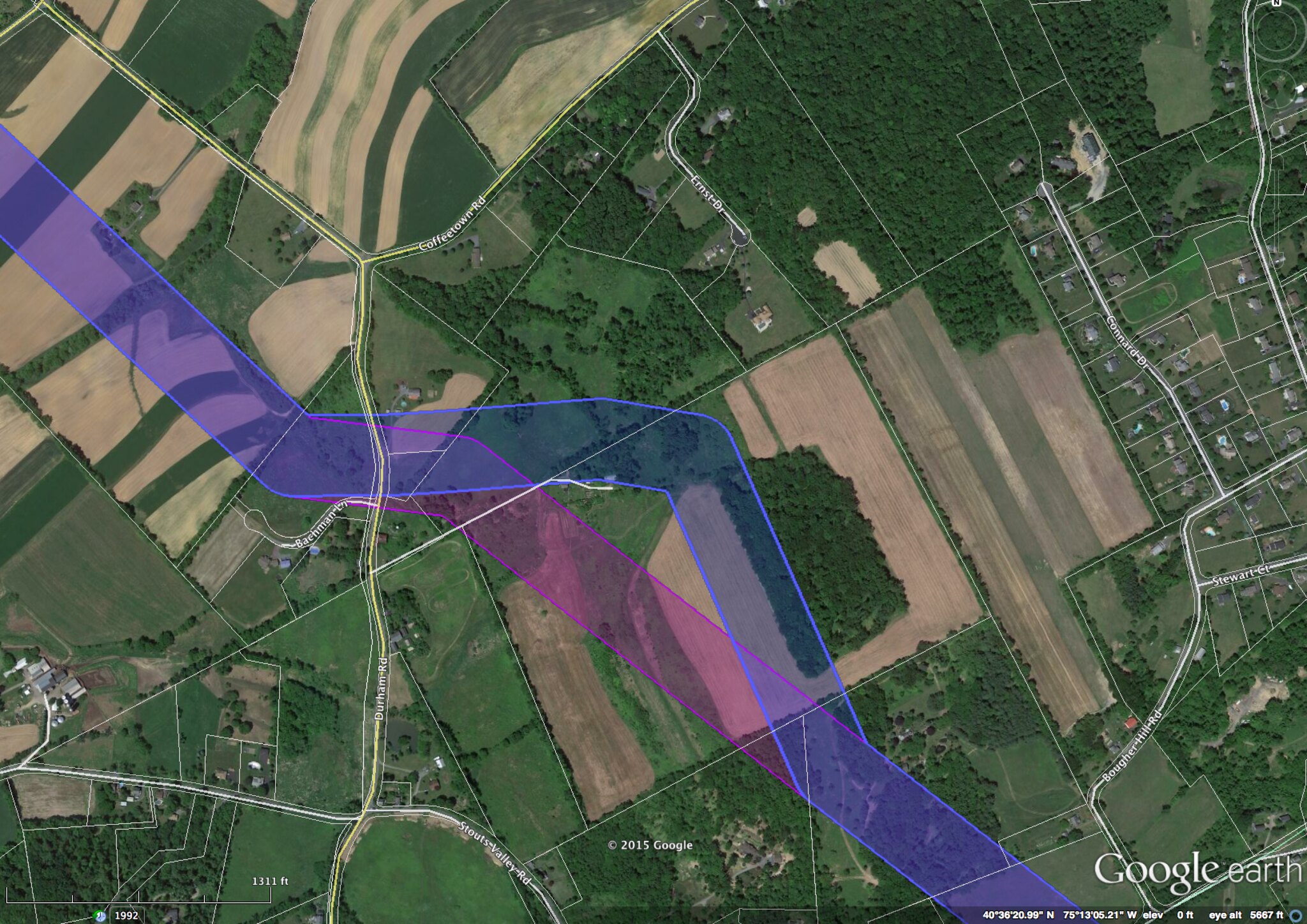
Durham, PA area
Moving over to Pennsylvania there’s a small change near Durham Road. I’m not sure what the purpose of this change was.
Old Orchard, PA vicinity
Just north of the Lehigh River there’s a Lowes shopping center next to route 33. PennEast is still running their pipeline right through the middle of their parking lot, disrupting a number of stores that are there (Lowes, Best Buy, Barnes and Noble, Pier 1, Texas Roadhouse Restaurant).

But now they have changed their route to be much closer to the PennDot facilities to the north of the strip mall. The PennDot buildings now seem to be within 50′ of the pipeline construction. This is one of the areas where you can clearly see where the route has to go, 400′ survey corridor be damned, because Route 33 cuts them off to the west. The earth movers are going to be practically kissing the PennDot building.
Incidentally I have pictures of this mall from my traversing the pipeline route (I haven’t published up this far yet). From what I can tell the pipeline is going through the approximate middle of this Texas Roadhouse restaurant:
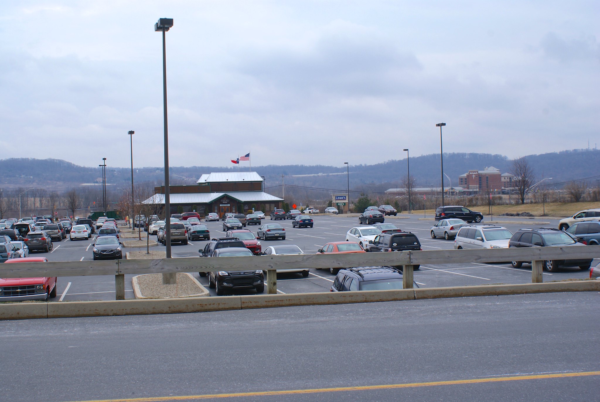
I wonder how much money these businesses will lose to pipeline construction while they demolish the restaurant and rip up half of the parking lot? Whatever it is it certainly was not factored in to the Drexel study touting PennEast’s financial benefits to the region.
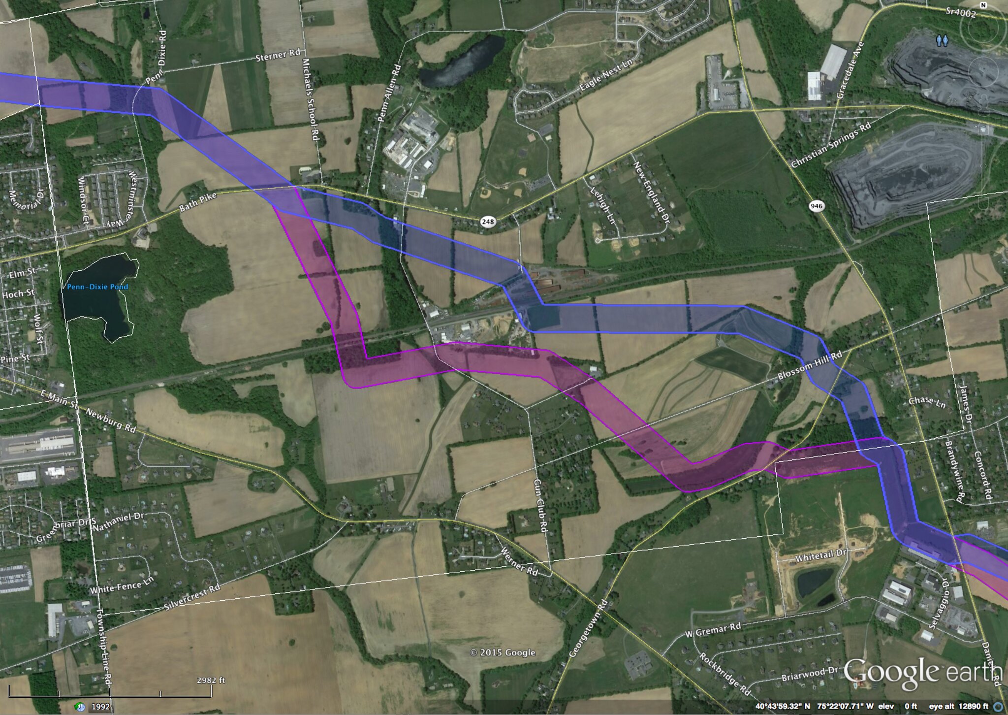
Near Bath, PA
The pipeline route has been moved inexplicably further to the north in the area of Gun Club Road. A couple of houses of unknown addresses on Georgetown Road will now be impacted by the pipeline, along with a separate set of farms from the previous route.
Appalachian Trail
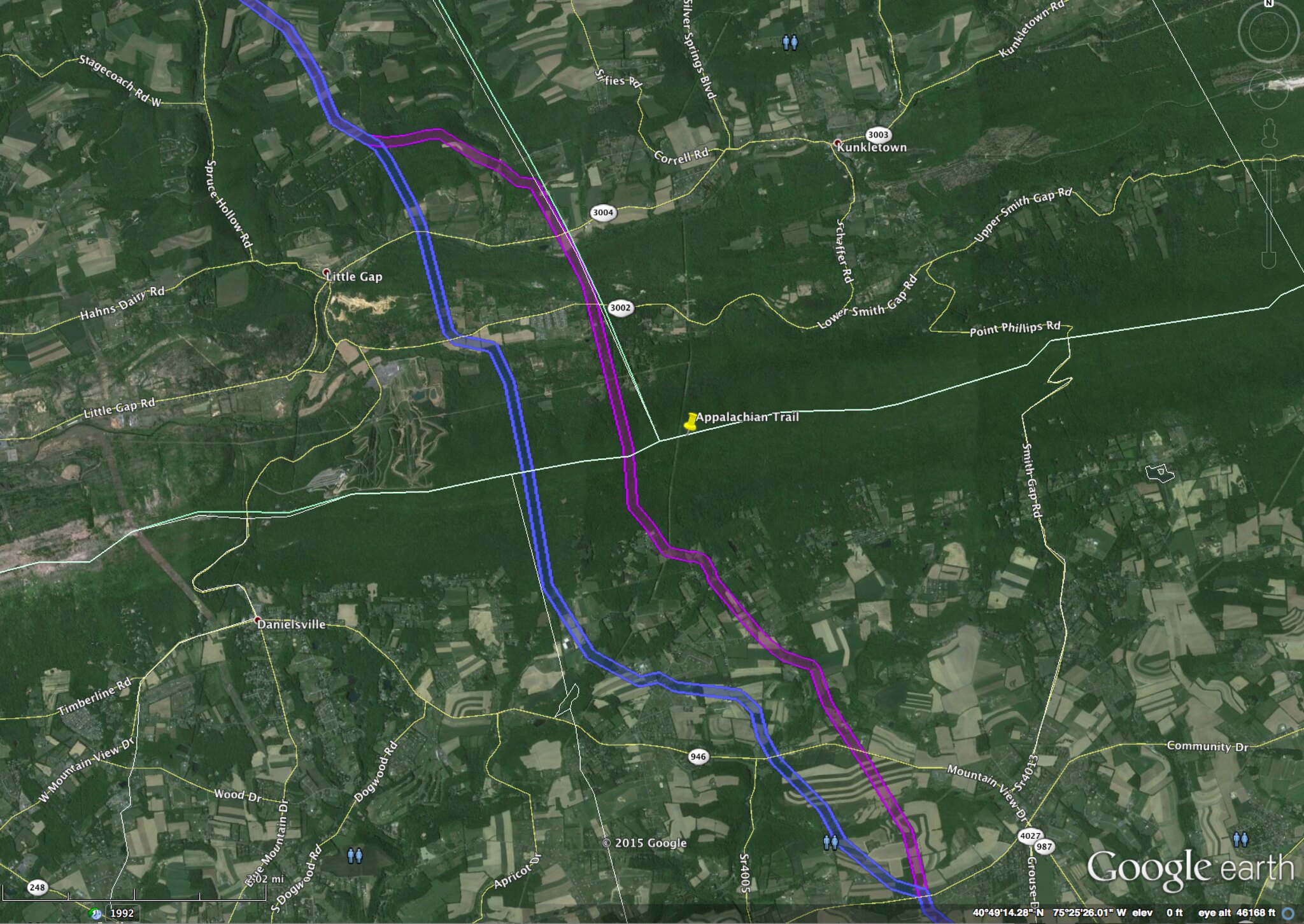
To the northwest the trail diverges significantly for 6 miles to cross the Appalachian Trail at a different point. Originally volunteer trail maintainers of the Appalachian Mountain Club, Delaware Valley Chapter, the AMC, and the Appalachian Trail Conservancy all formally proposed to Penn East that they eliminate a new pipeline crossing of the A.T. and utilize instead an existing area of adverse impact (e.g., existing power line, pipeline or similar clearing already in the area). However, instead of choosing such a point PennEast instead simply moved the pipeline route a half mile to the west. This new location has the same issues as the old one so it’s unclear why PennEast did this. It’s possible that it’s related to who owns the land, I’m still looking into this aspect.
This change involves lots of new stakeholders and landowners given how long the change is, and the fact that it’s moved laterally over half a mile to the west.
One of the changes is that the route now crosses Applebutter Road near HillCrest lane. The impact on the owners there can only be described as…appalling.
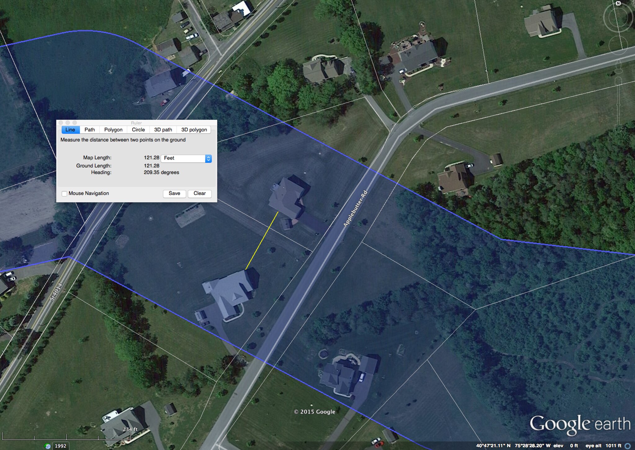
The blue area as always is the new route’s 400′ survey corridor. This is another spot though where we can figure out much more accurately where the pipeline has to go. The only option is between the two houses here. Except the houses themselves are only 121 feet apart (the yellow line between the houses is the Google Earth measuring ruler line). Both properties will be unlivable during construction, and afterwards they won’t just be in the blast zone – they’re basically in the total destruction zone.
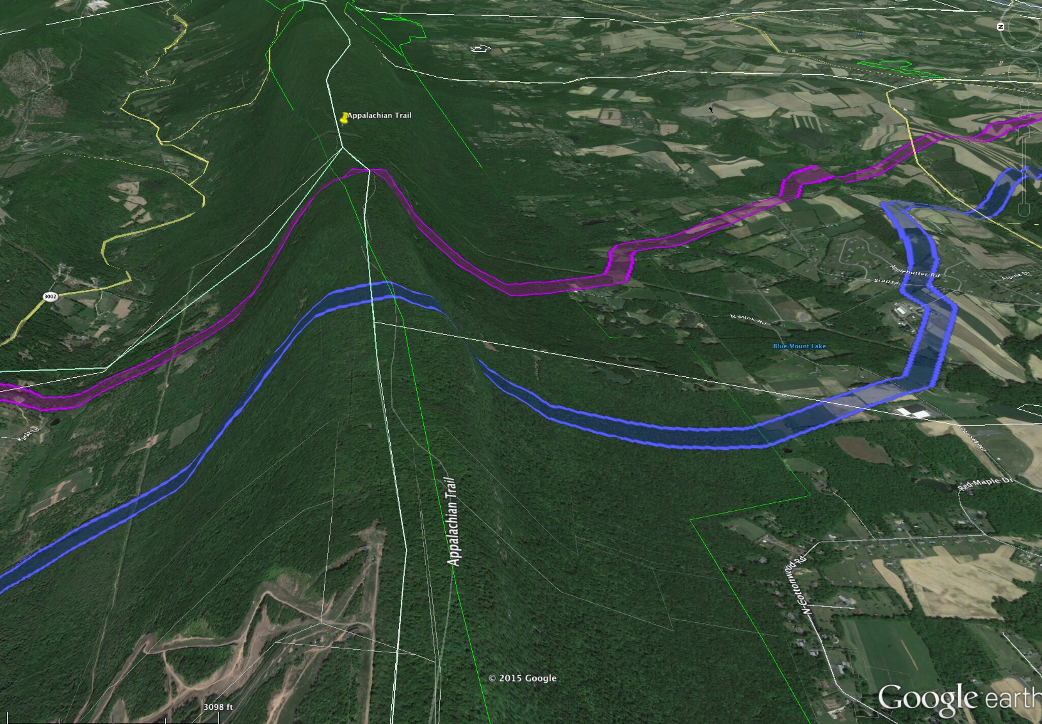
The final insult in this area is where the pipeline crosses the Appalachian trail. It’s now been moved from one area of it to about 1/2 mile to the west. But both are pretty equally bad. Basically PennEast is carving brand new cuts into virgin forest for a distance of about two miles. This includes crossing a very high ridge, so we have two steep inclines (one on either side of the ridge). This will badly segment the the forests and open up the area to significantly worse erosion. Here’s what I’m talking about:
Vicinity of Susquehanna River
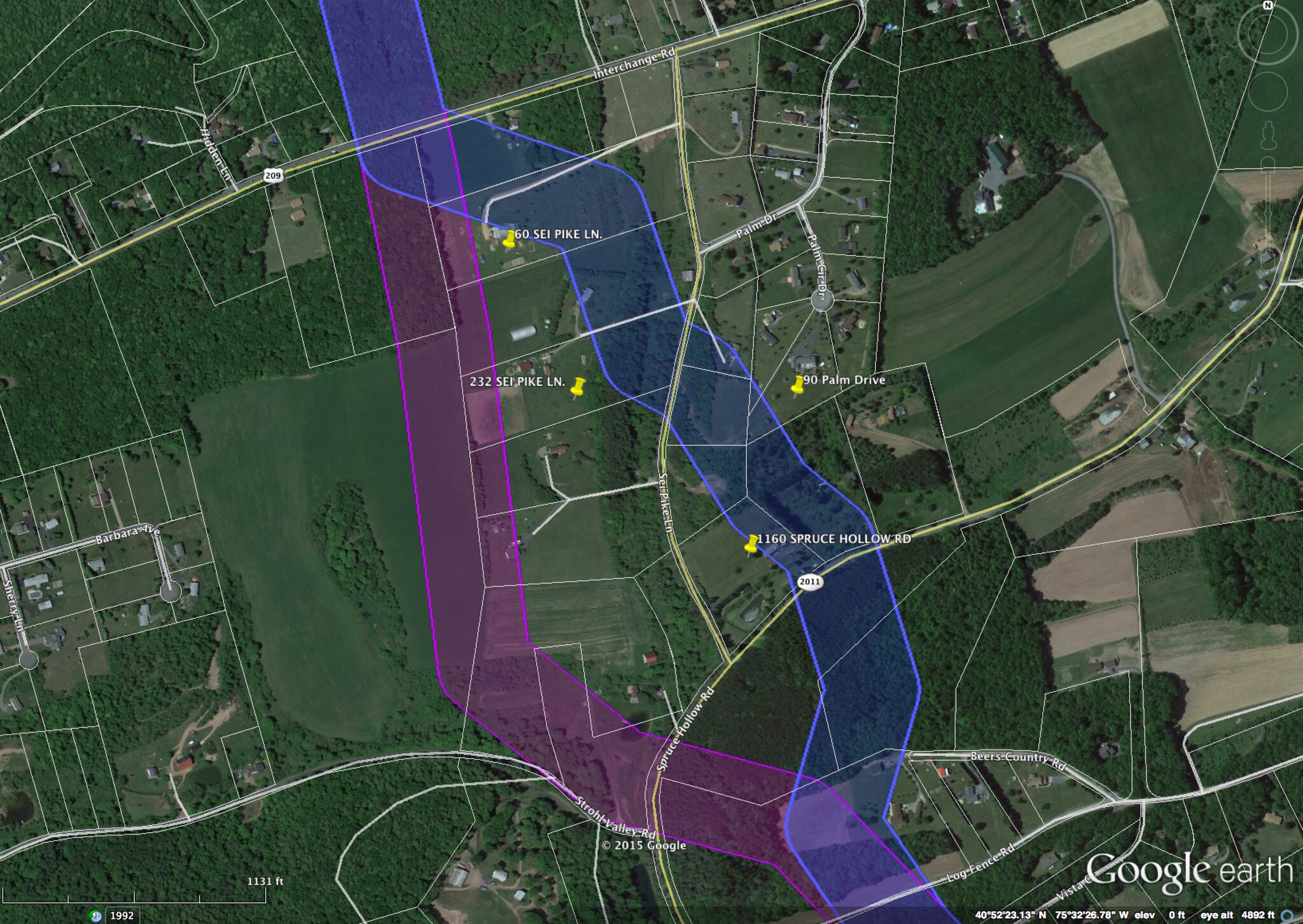
The last change is just south of the Susquehanna River around SEI Pike Lane. The route now runs through several parcels instead of along the back of one, not sure why.