Pipeline route change in West Amwell in pictures

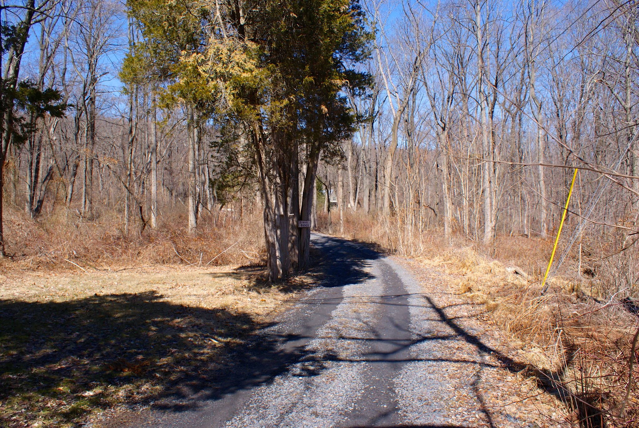
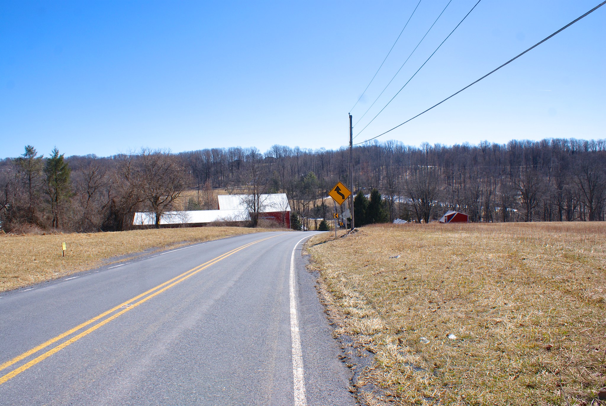
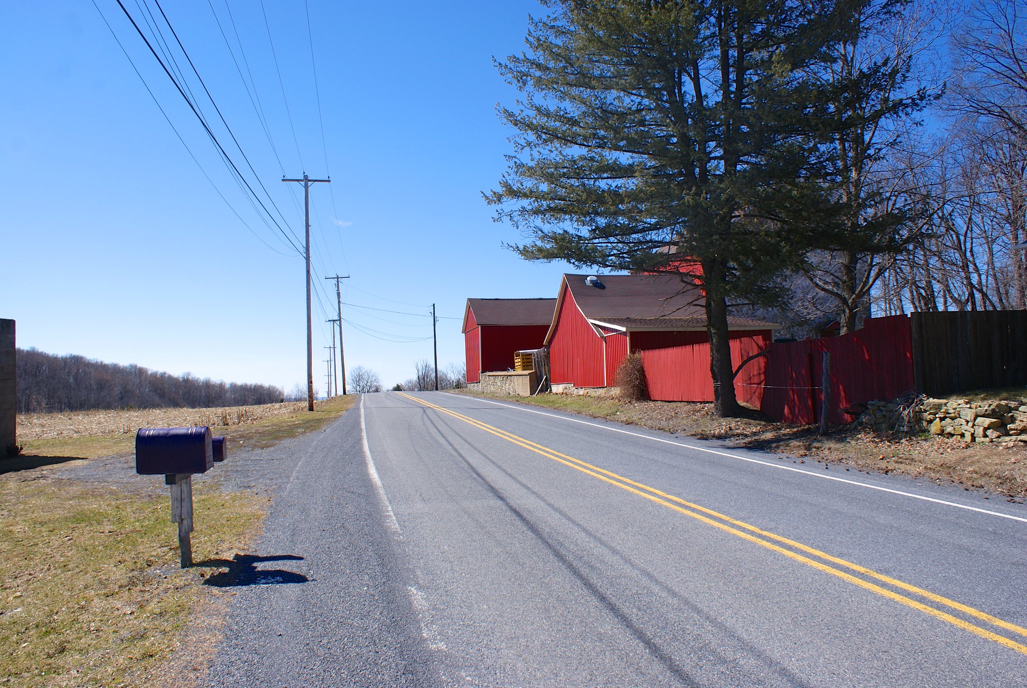
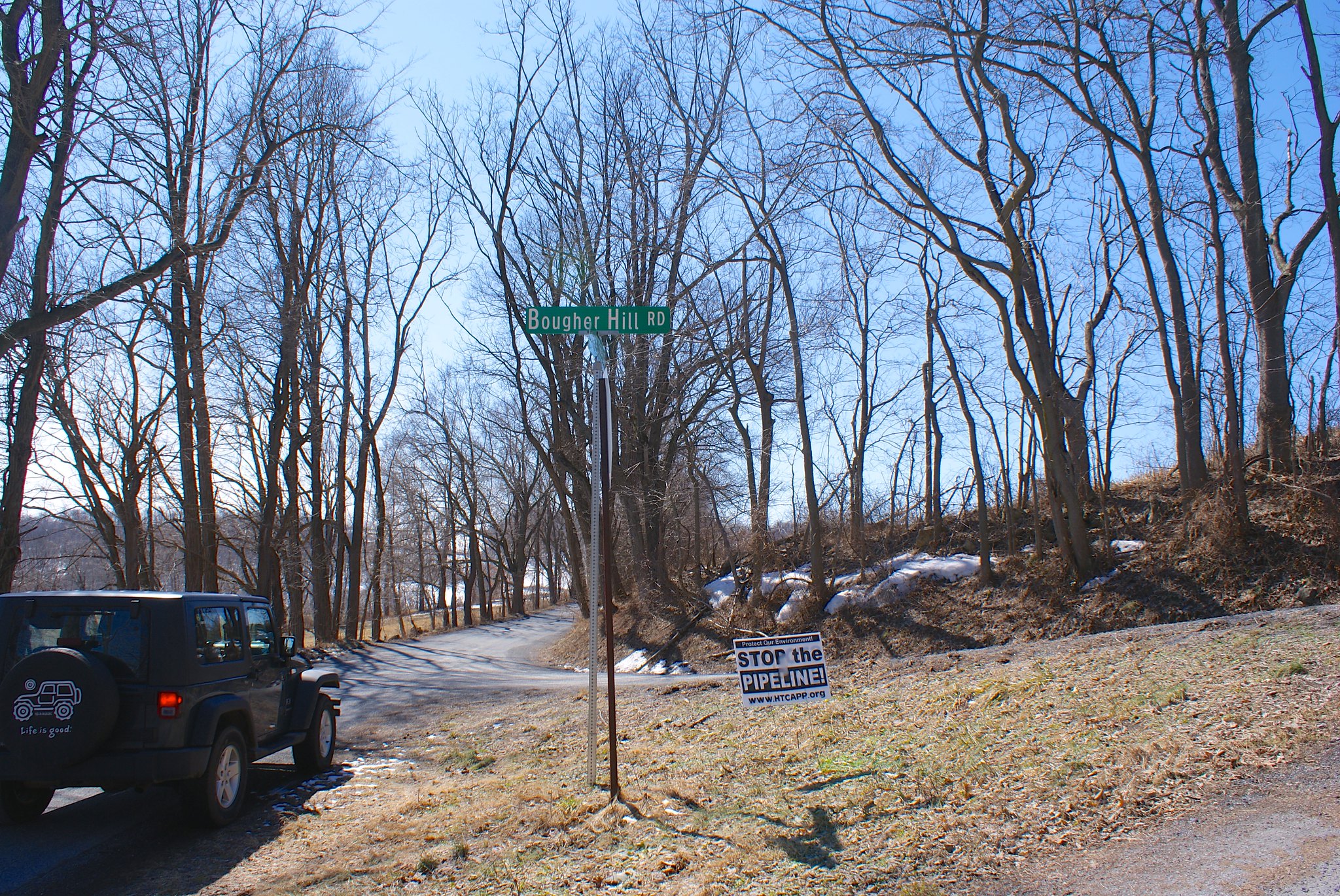
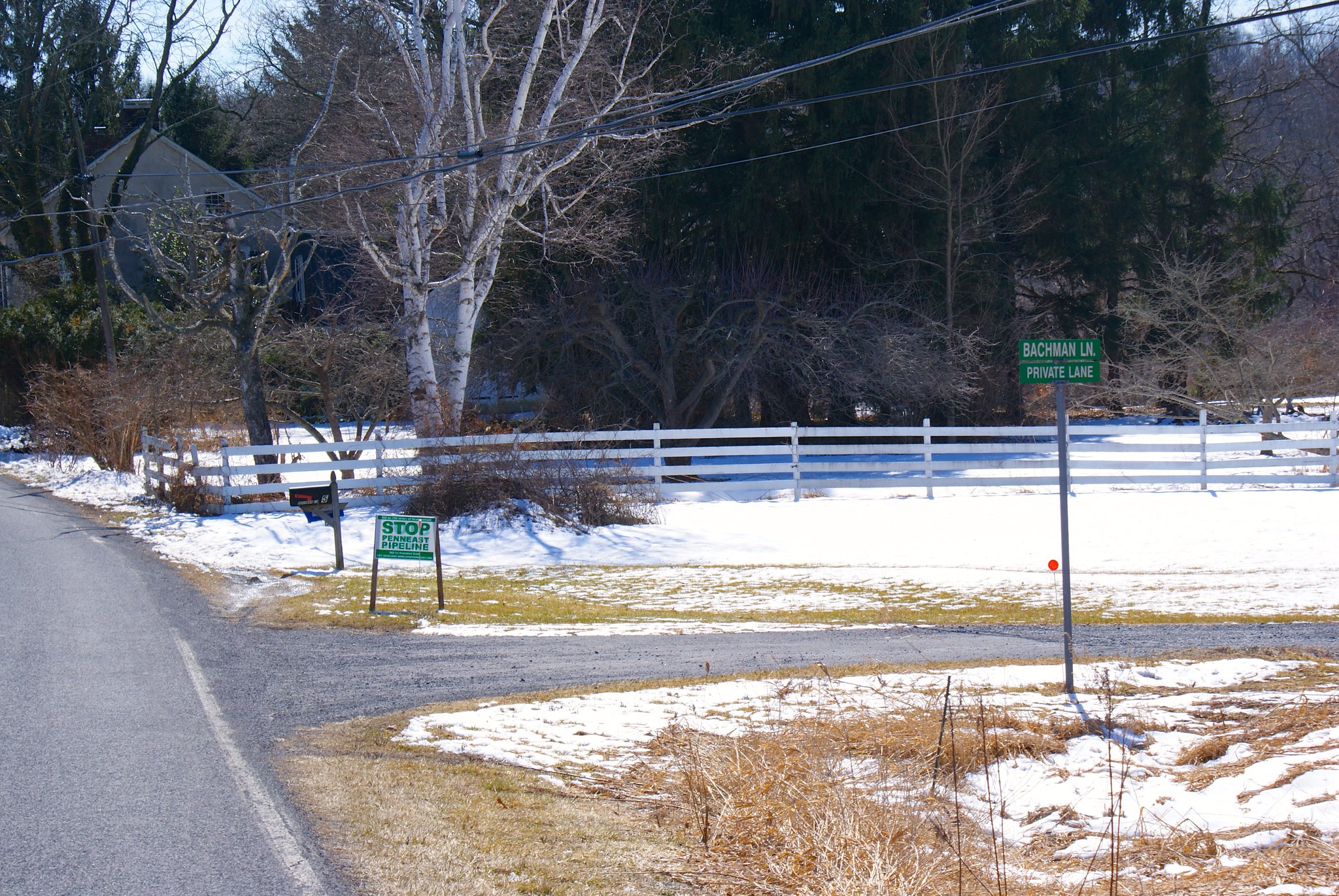
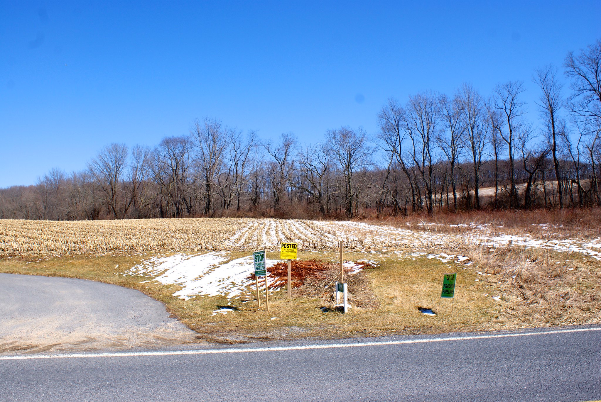
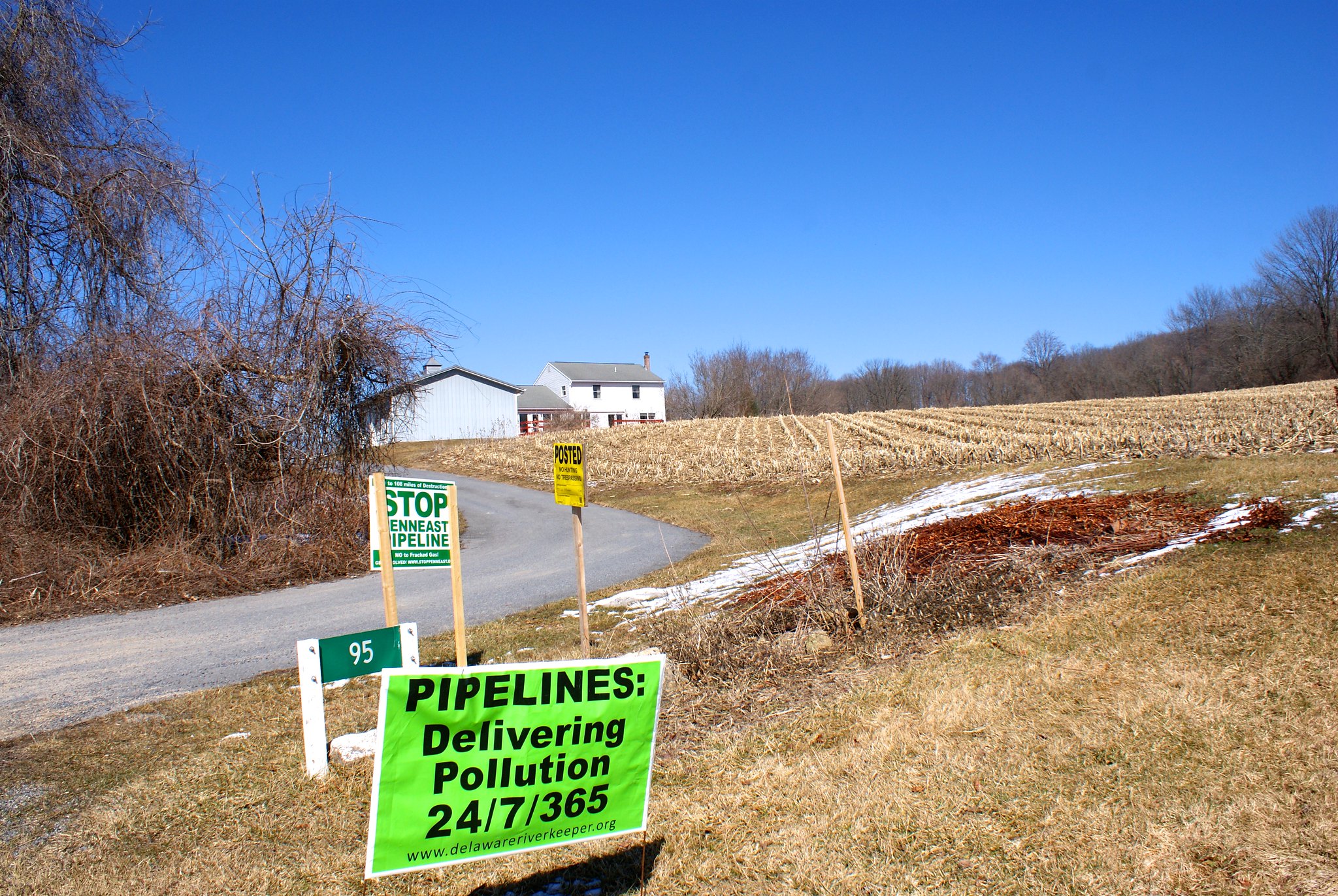
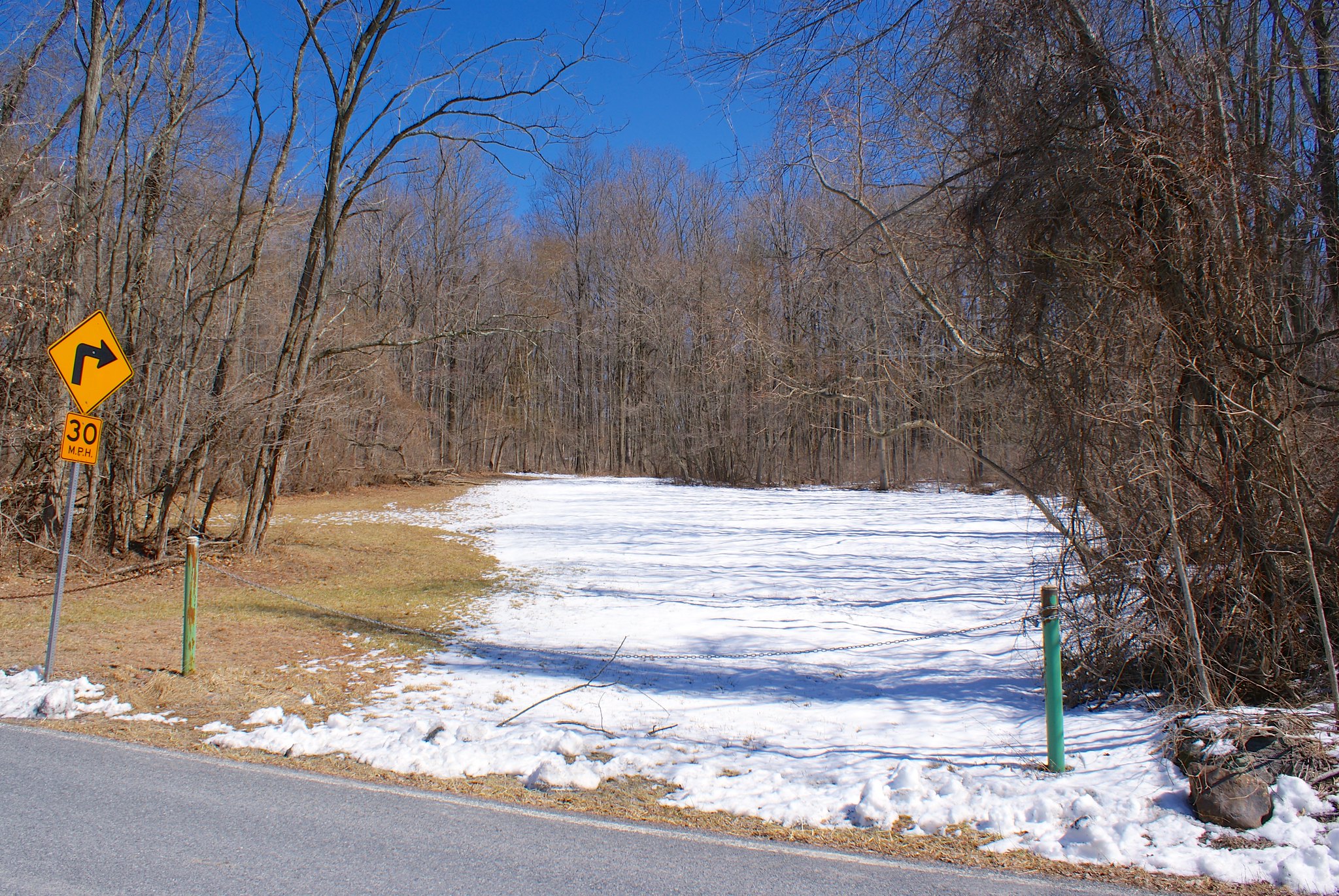
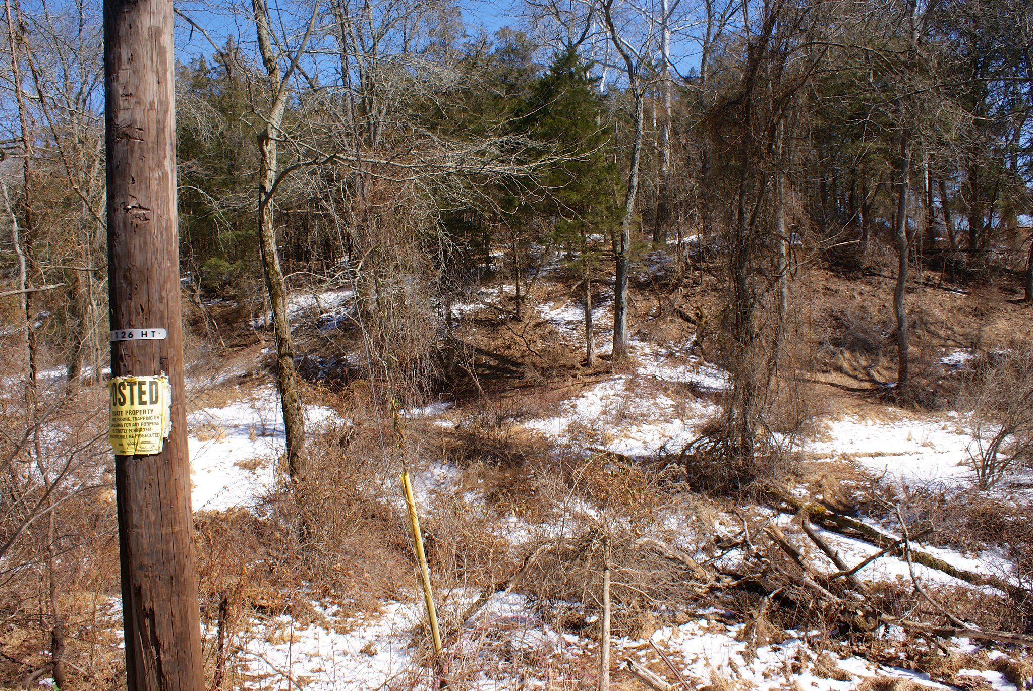
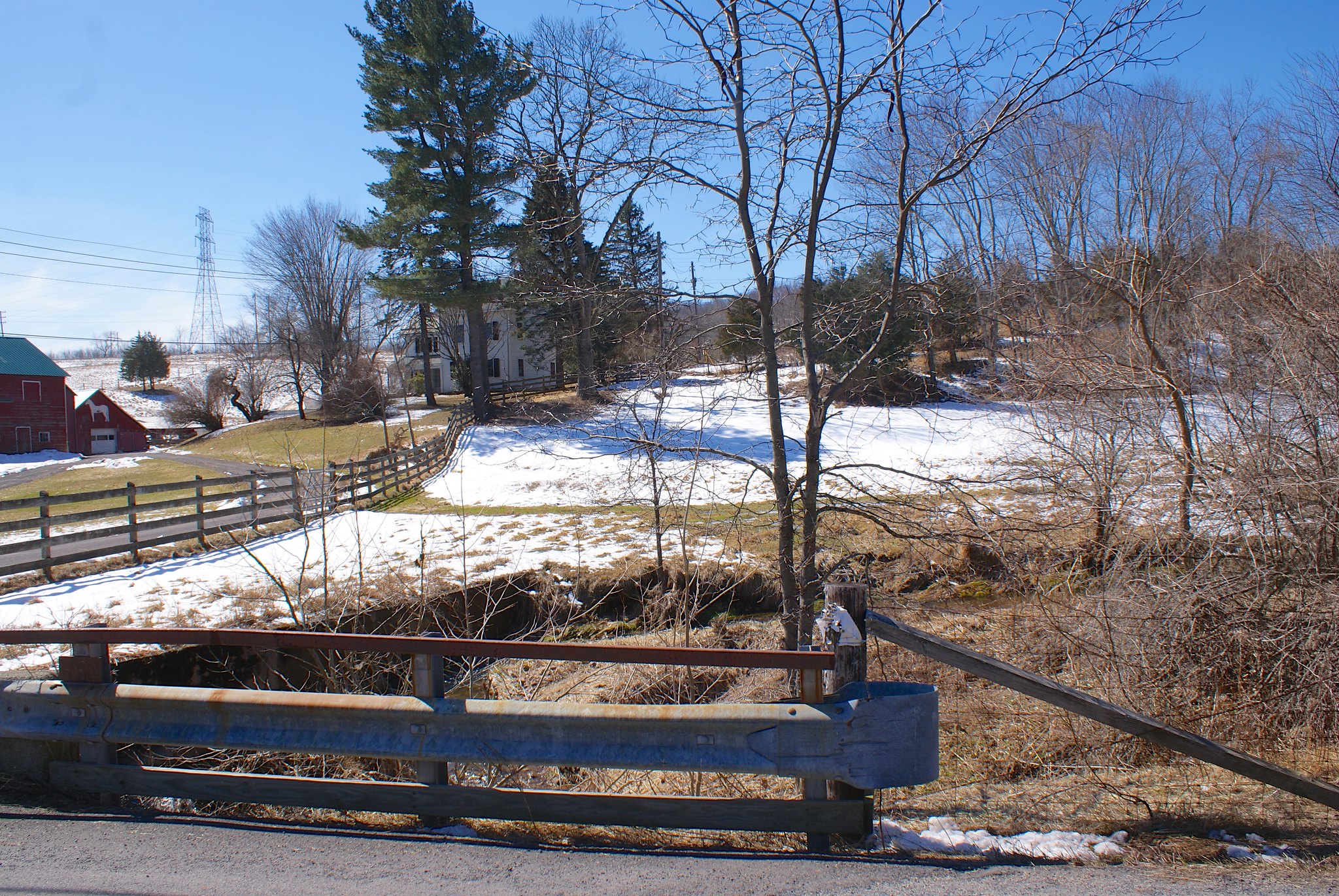
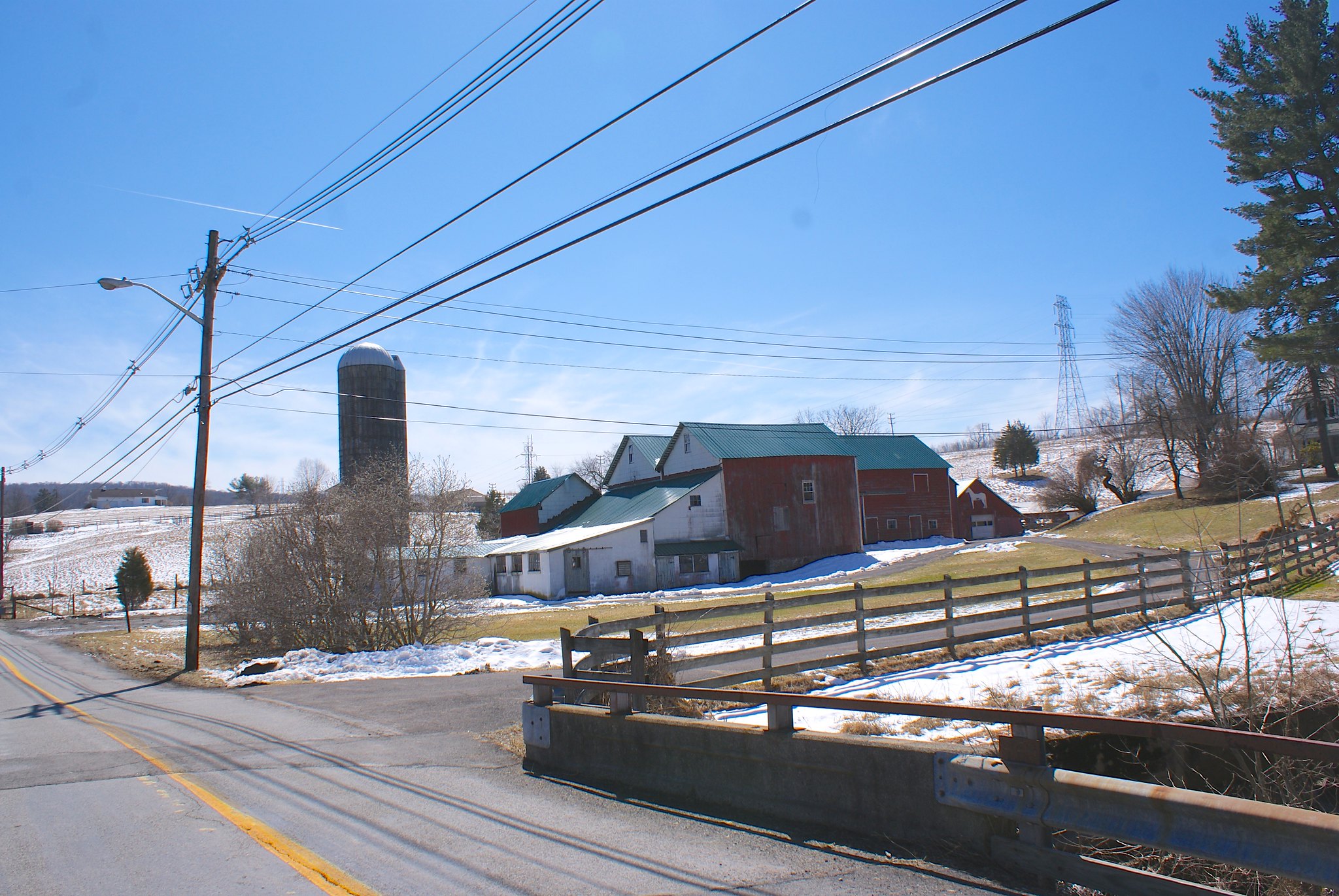
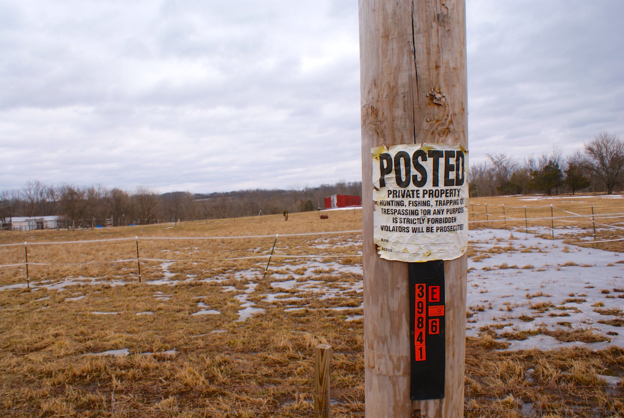
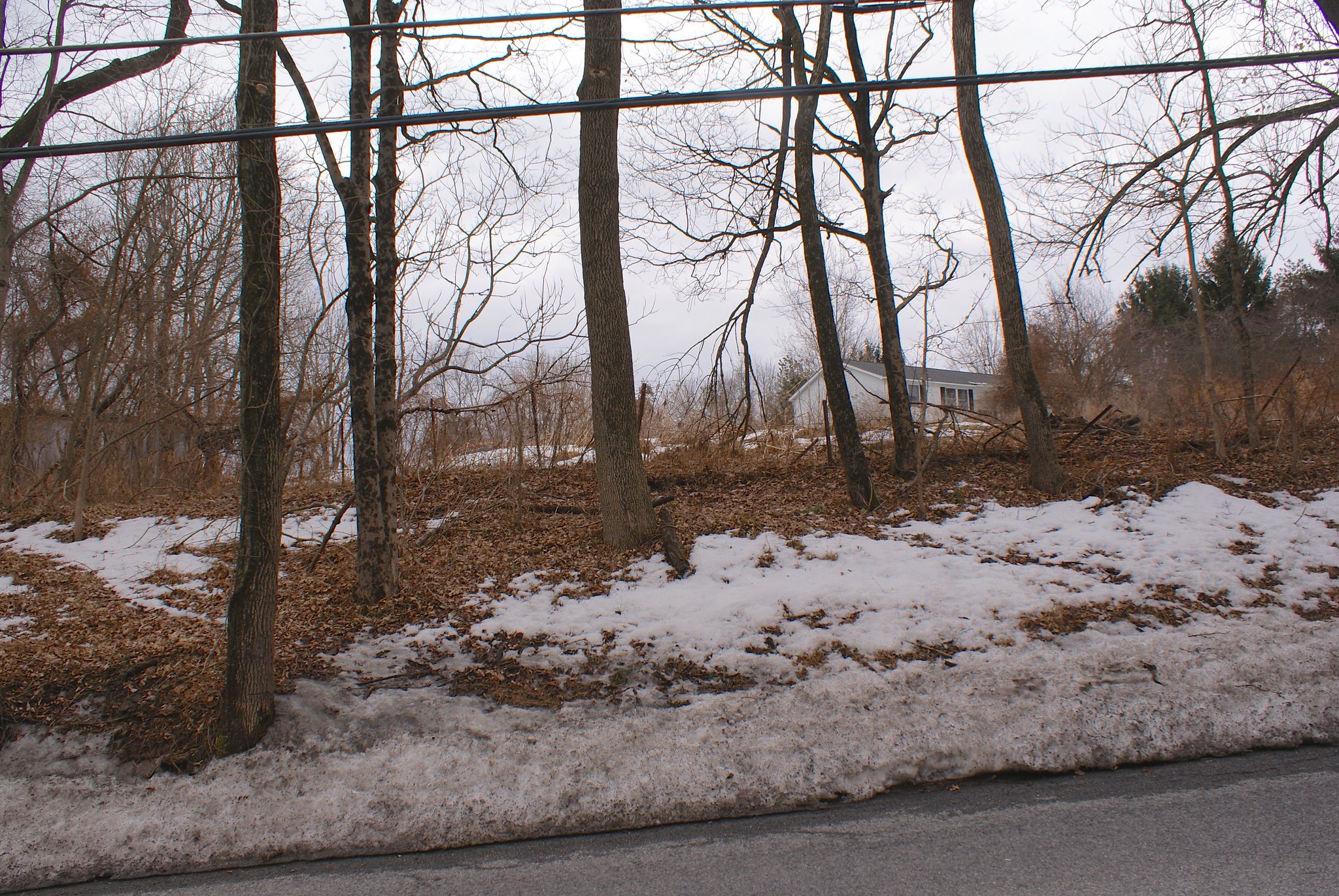
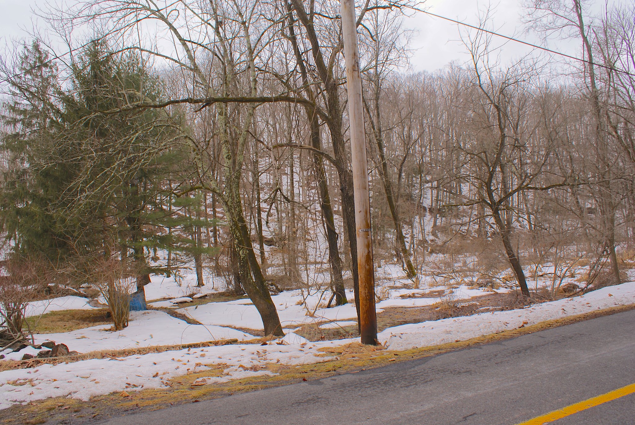
As I mentioned previously the most recent pipeline re-route made one small change in West Amwell. It was originally slated to go diagonally across the horse farm across the street, cross Hewitt Road, go through an open field and then hook up again with the power line easement.

They changed that route because the open field was not actually an open field, a house was built there in the past year. So they re-routed to avoid the new house. In doing so they’re now routing to the east of the horse farm through a heavily wooded area, crossing Hewitt Road and then going very close to my neighbor’s house and my house. A picture says a thousand words so here’s the old route vs. the new:

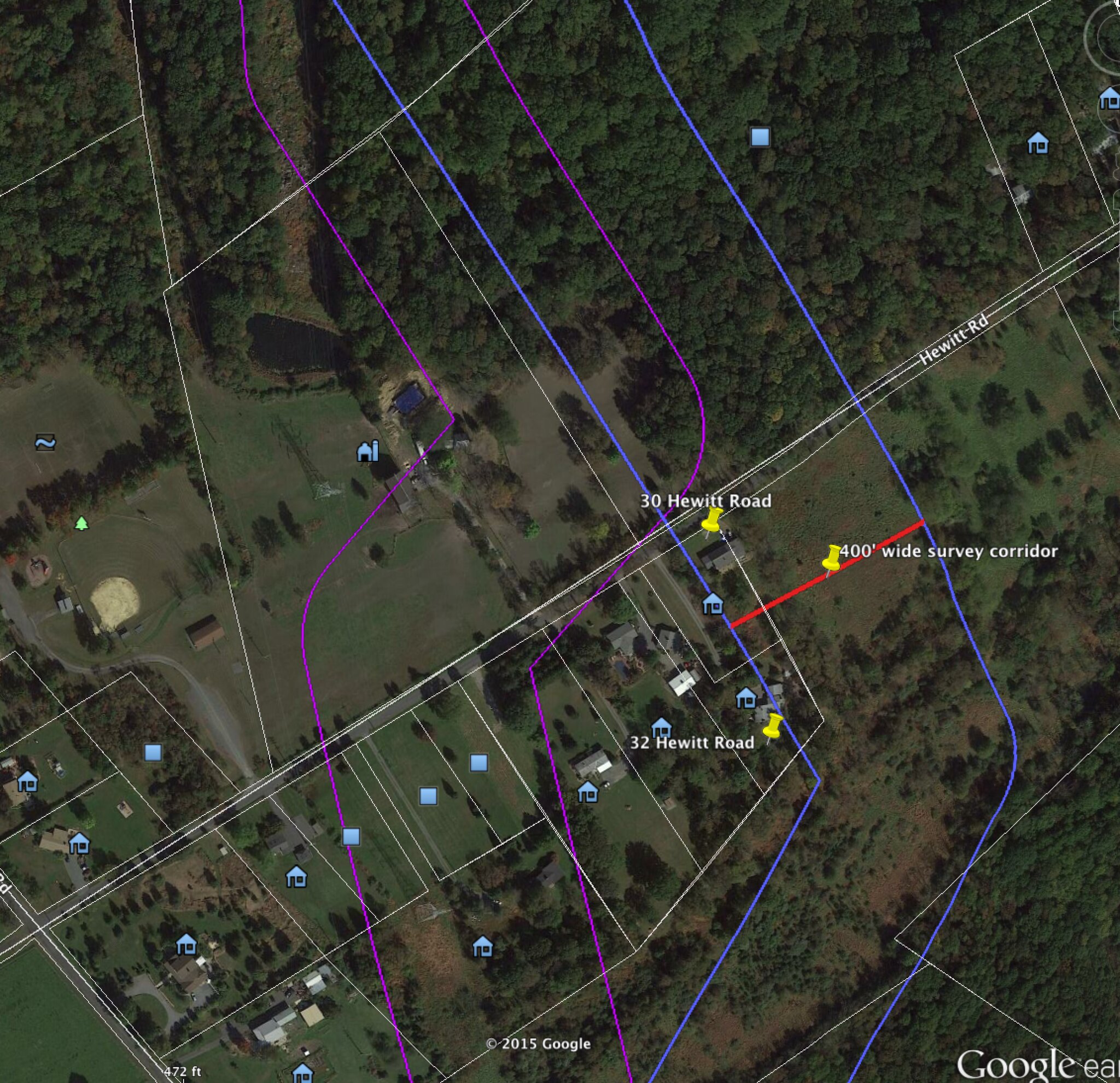
Sorry the map is a little busy. The purple parallel lines are the “survey corridor” for route from January 2015. The blue parallel lines are the new route as of March 30th. The white lines are people’s property lines.

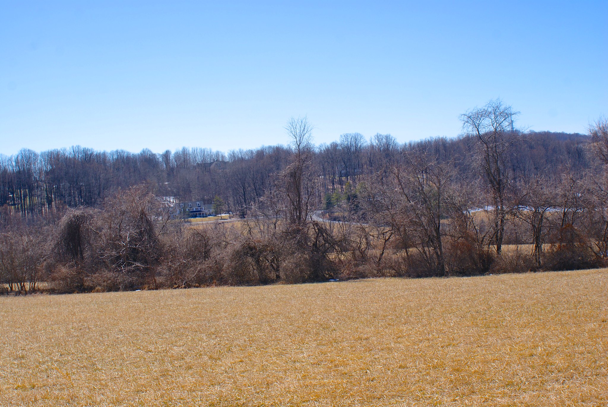
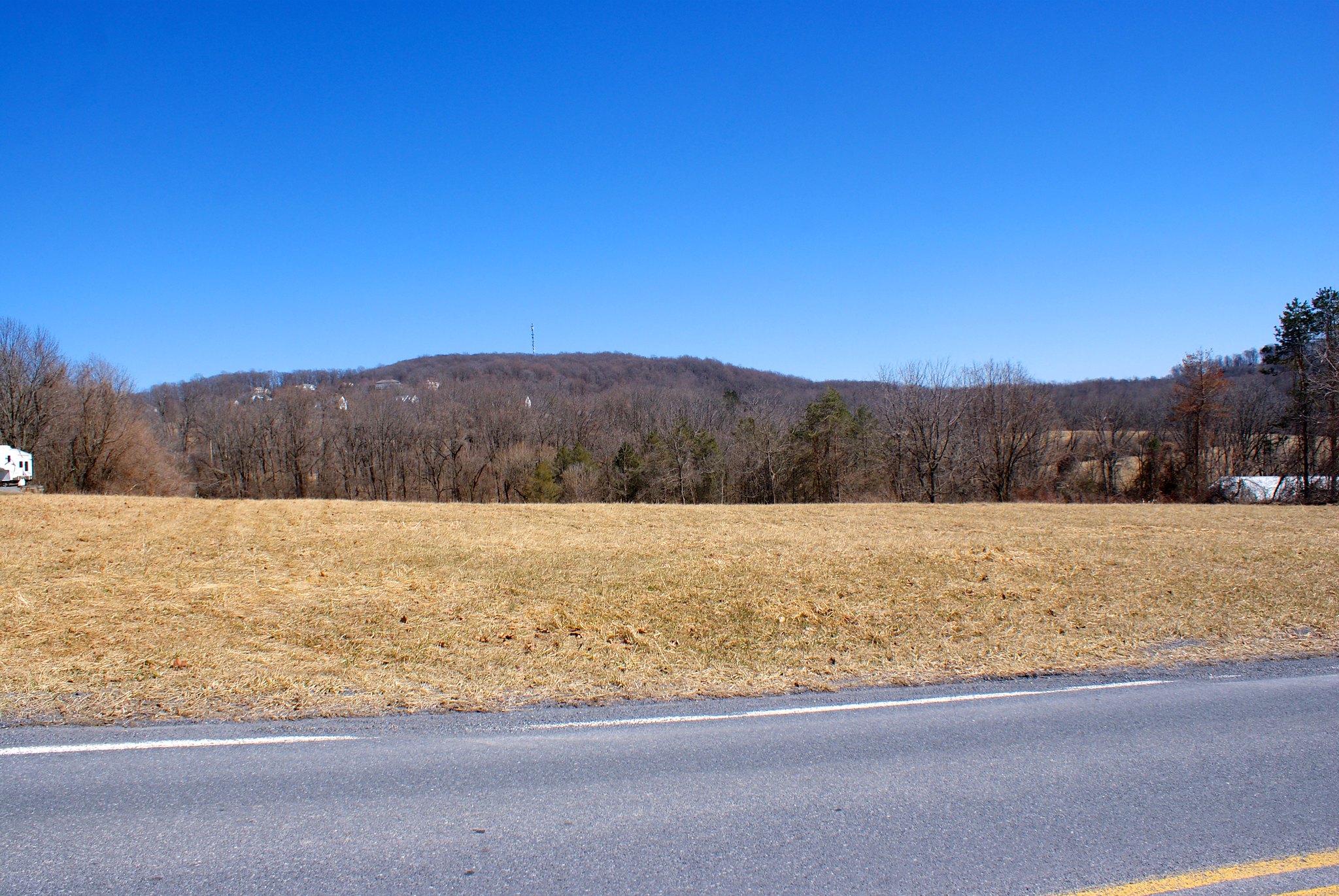
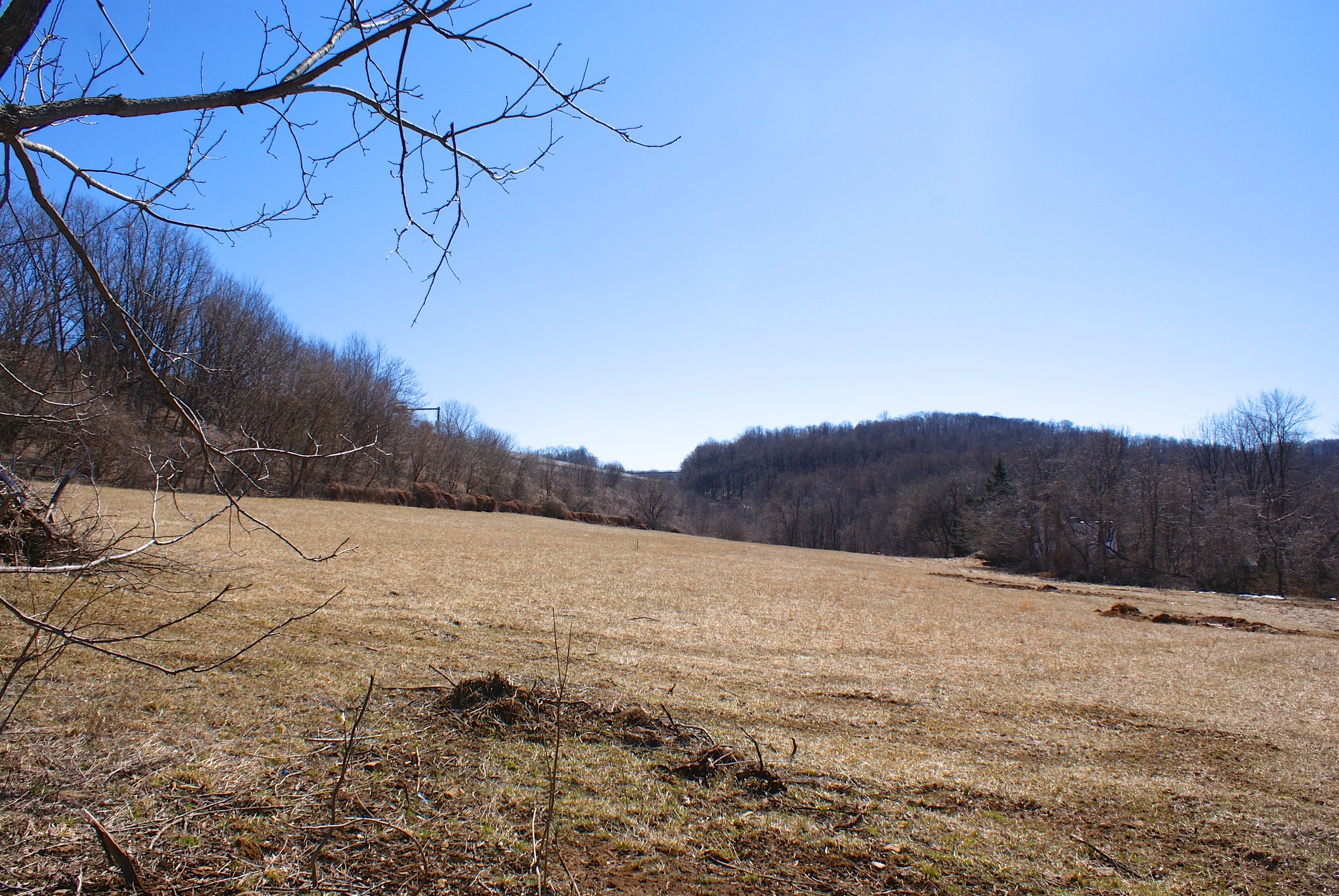
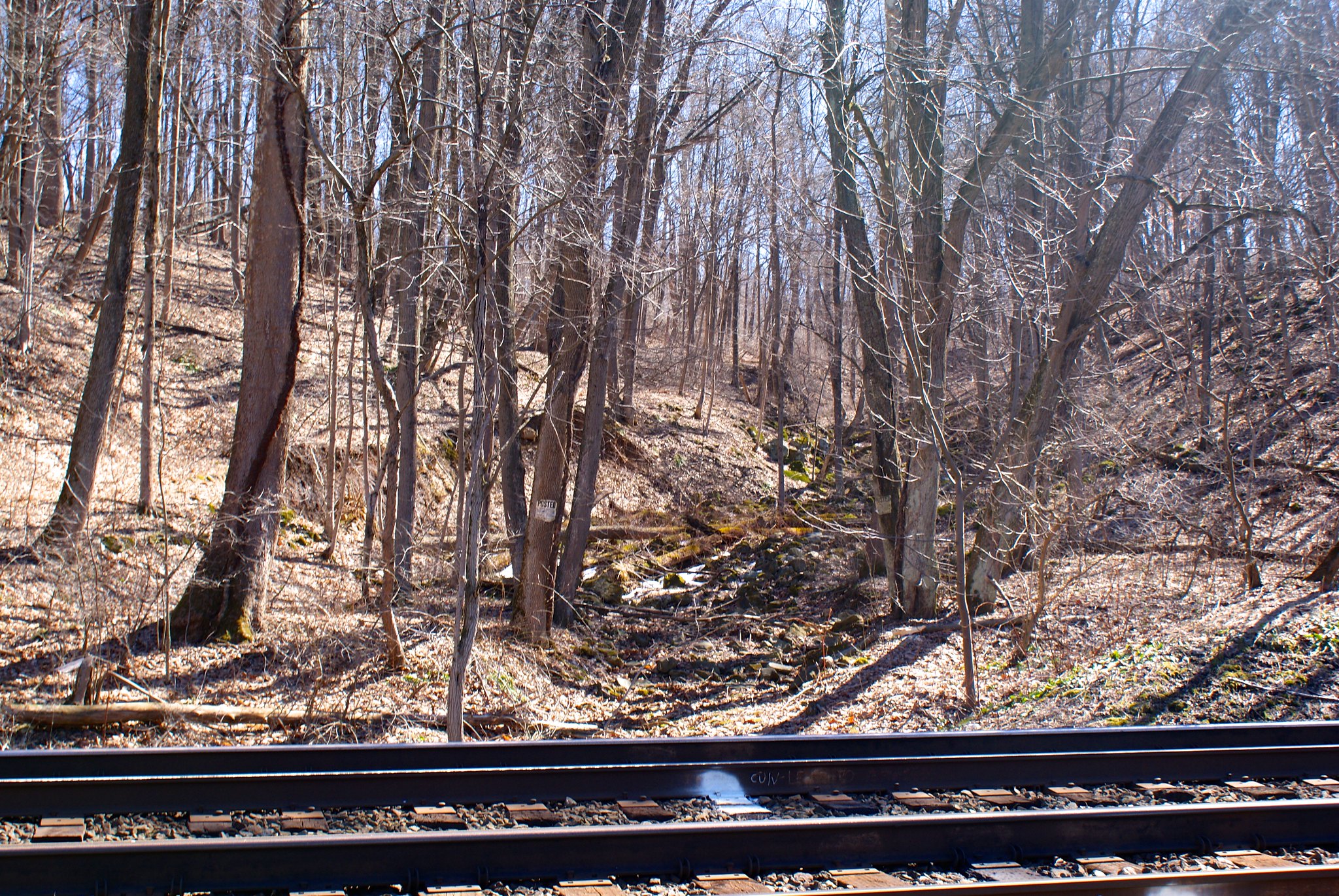
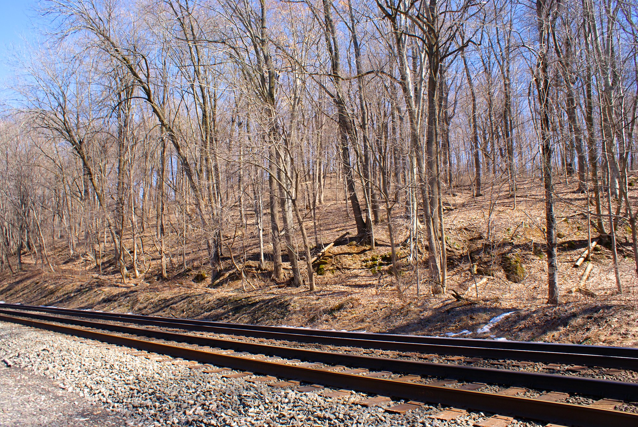
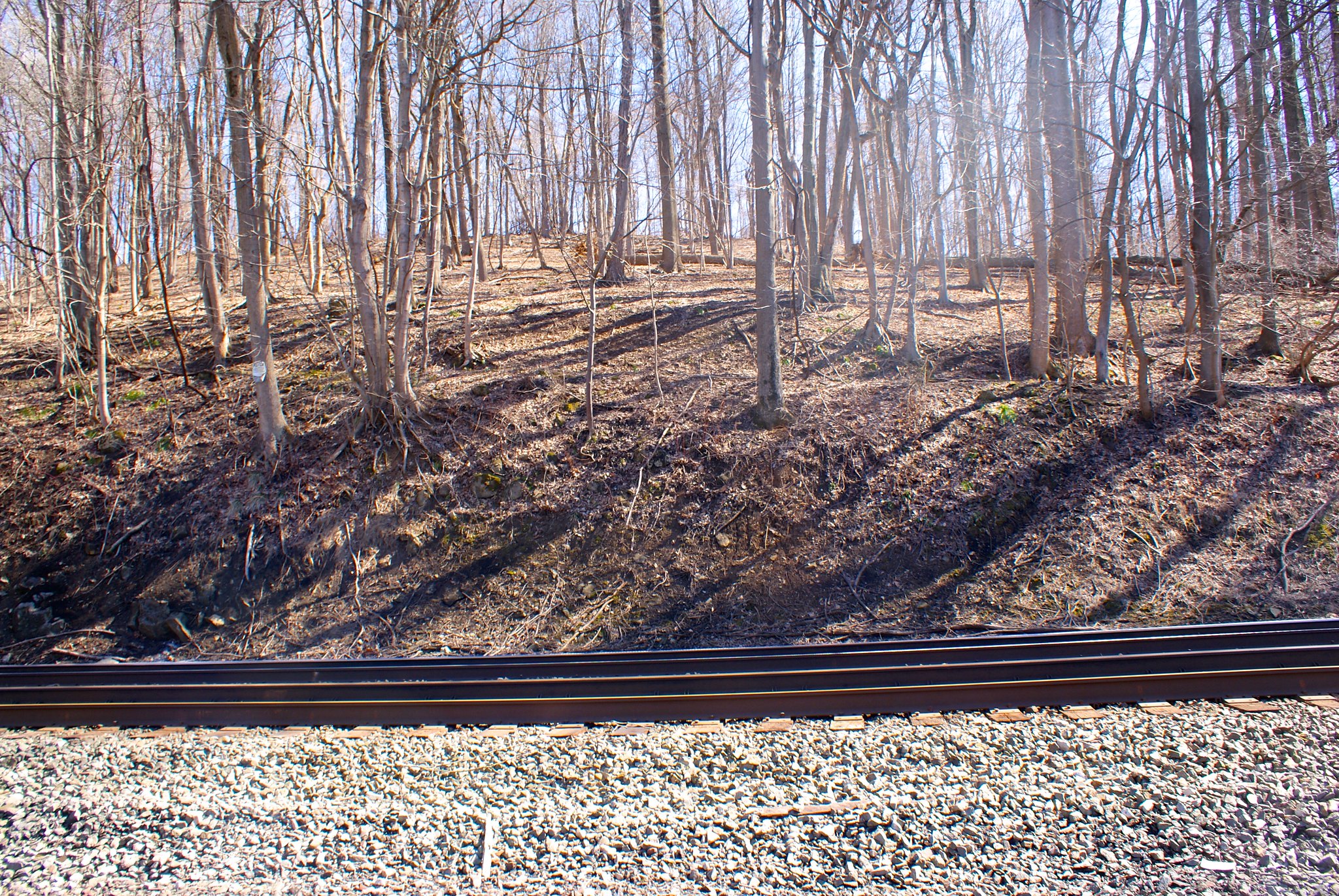
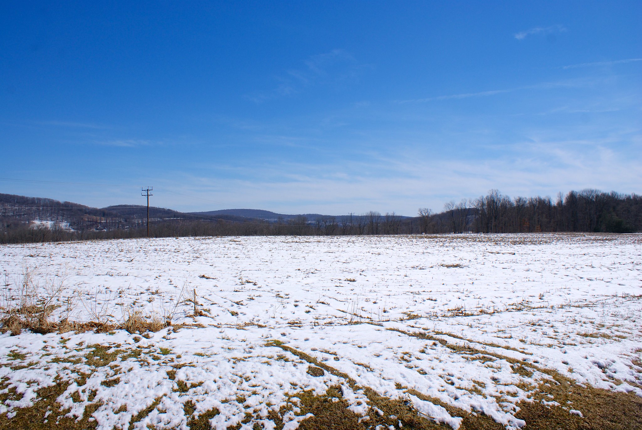
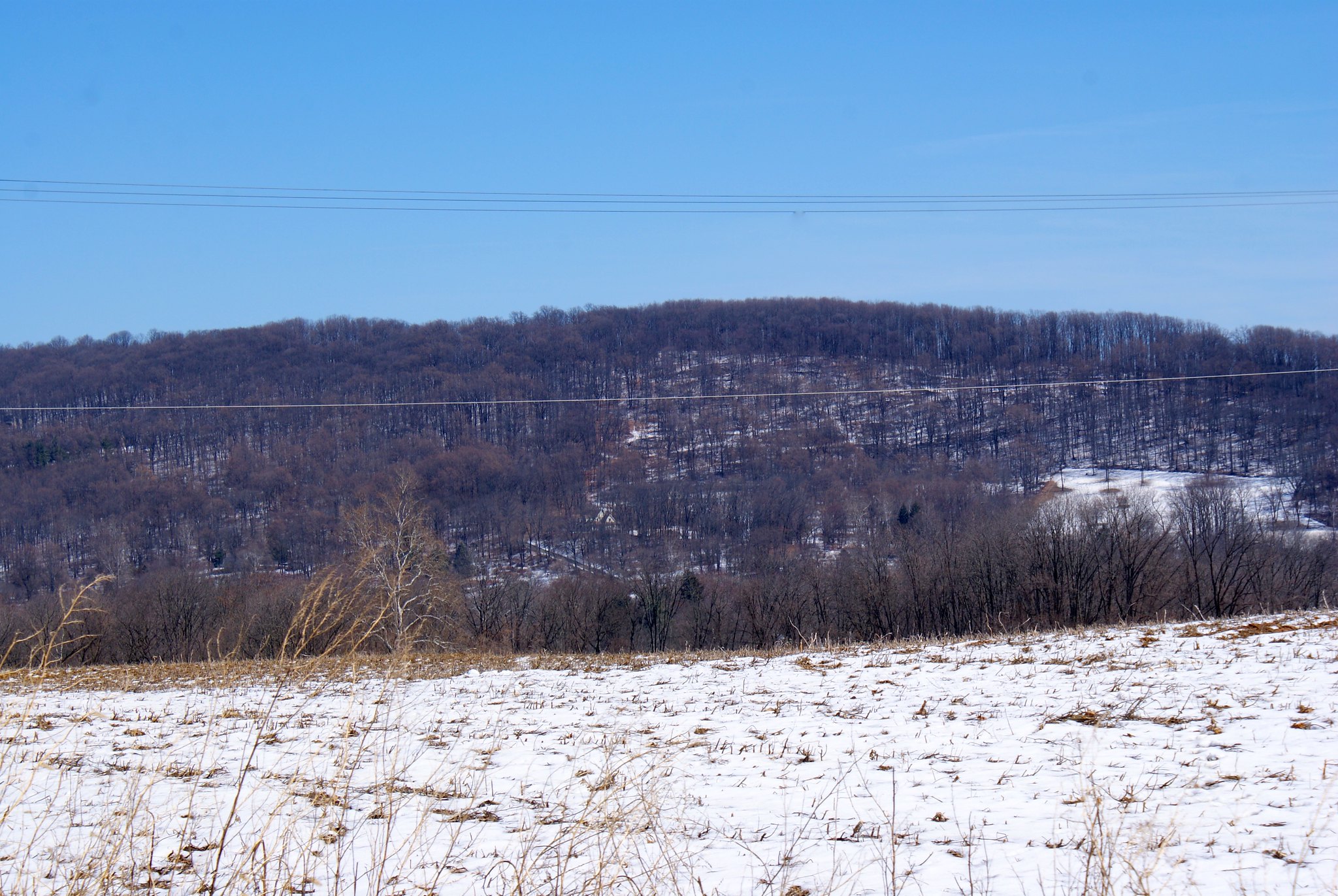
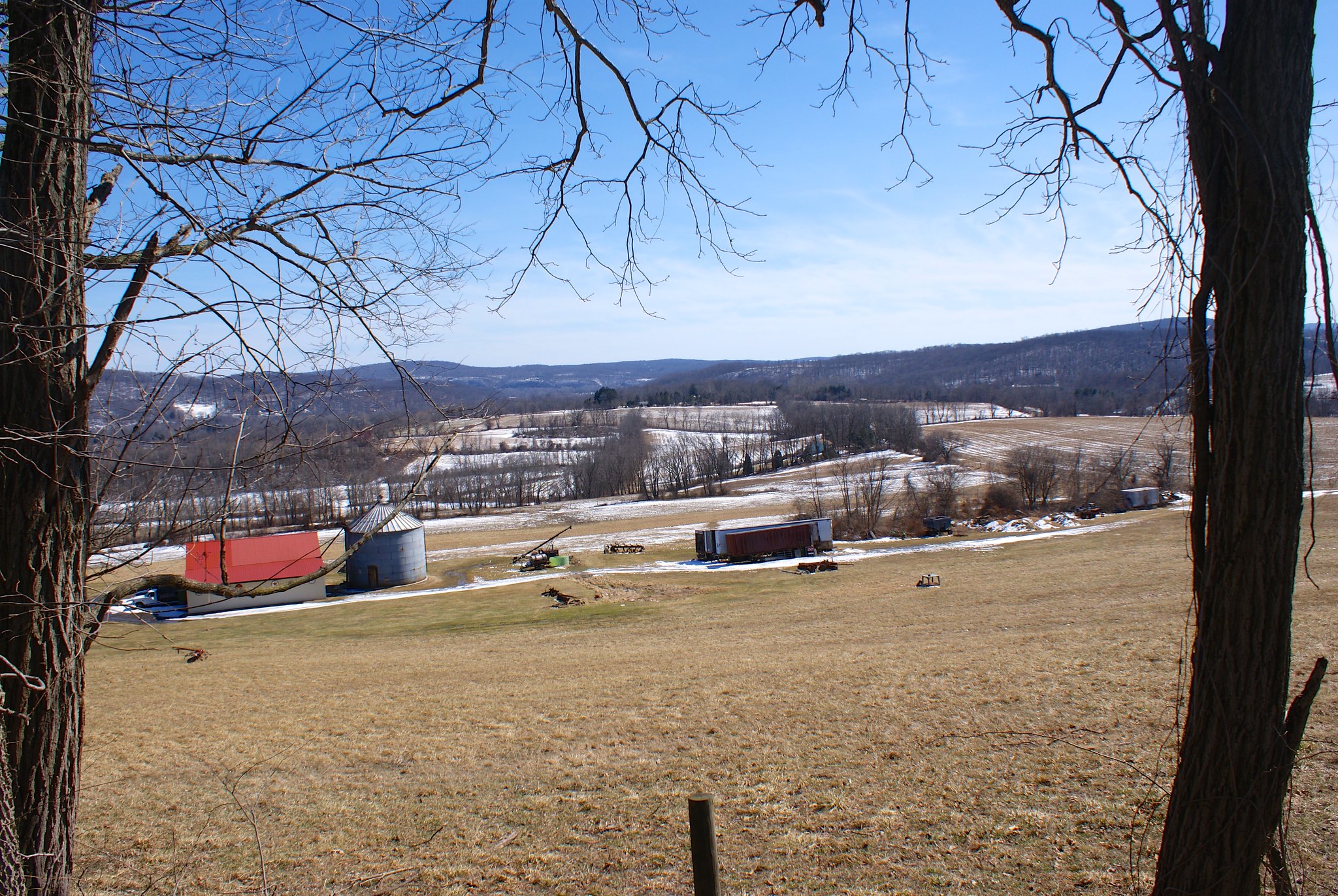
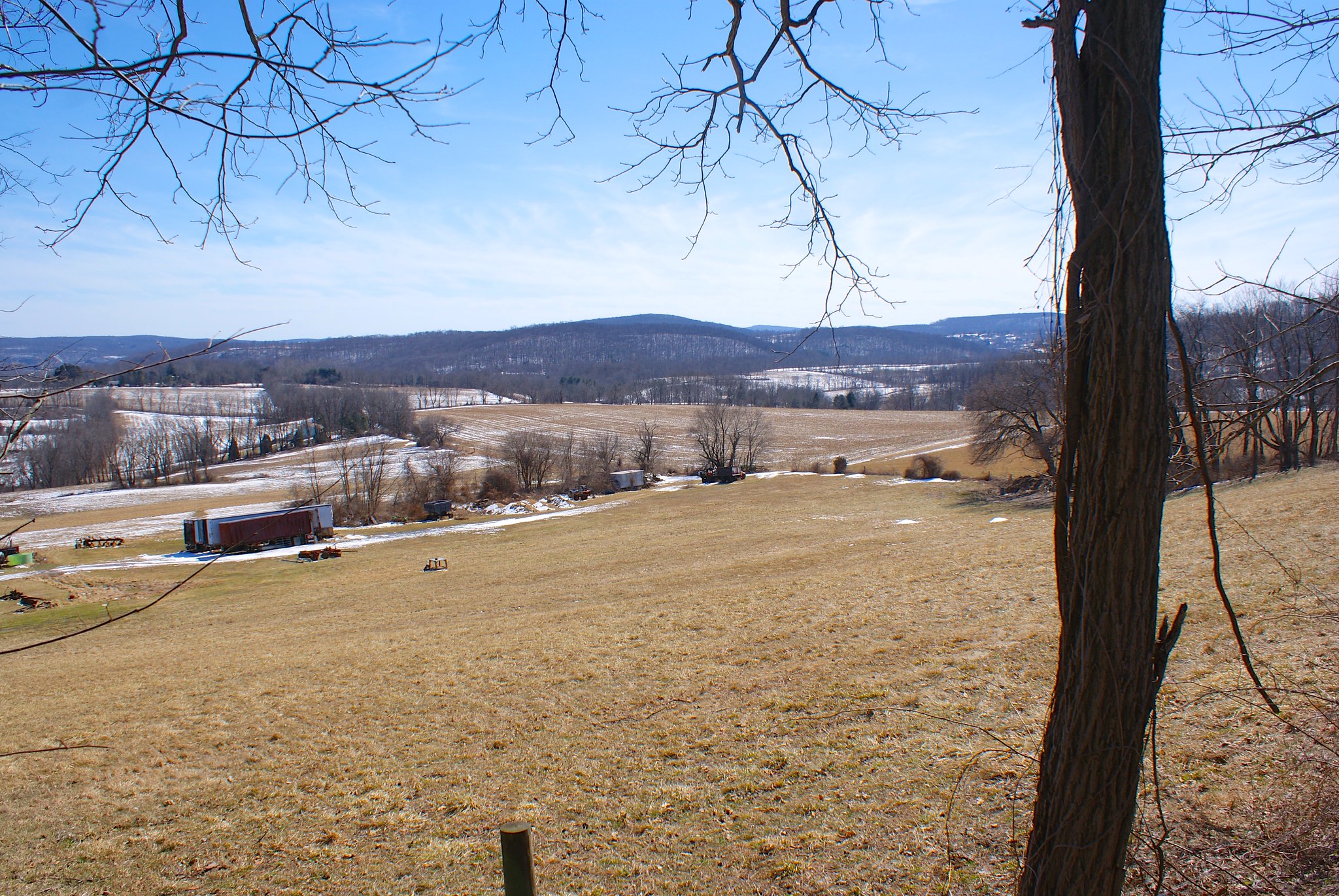
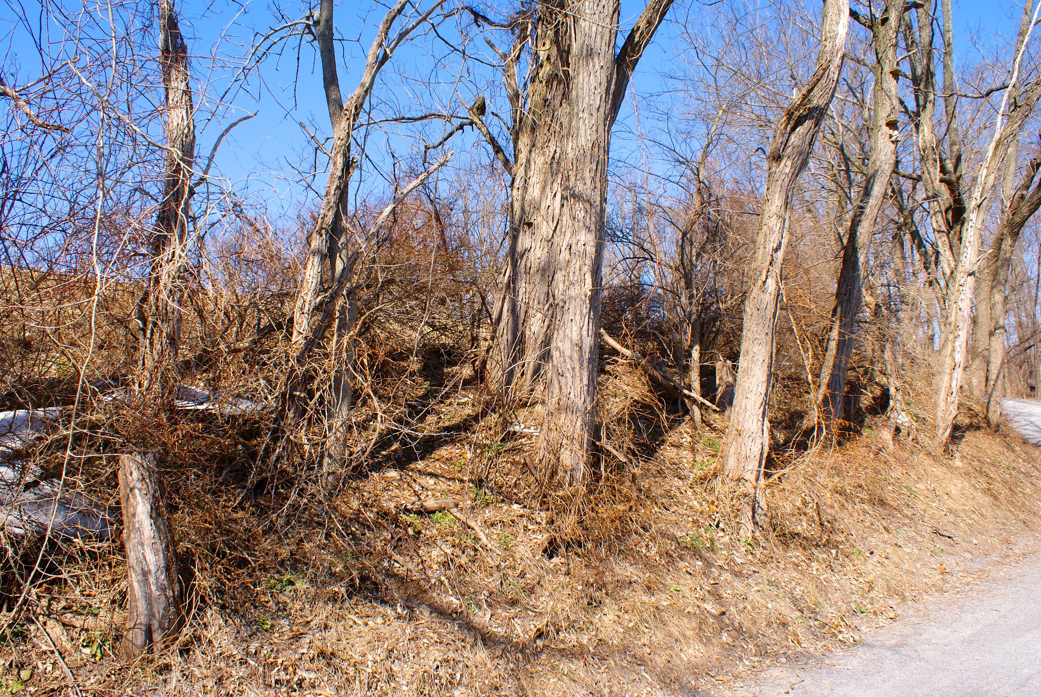
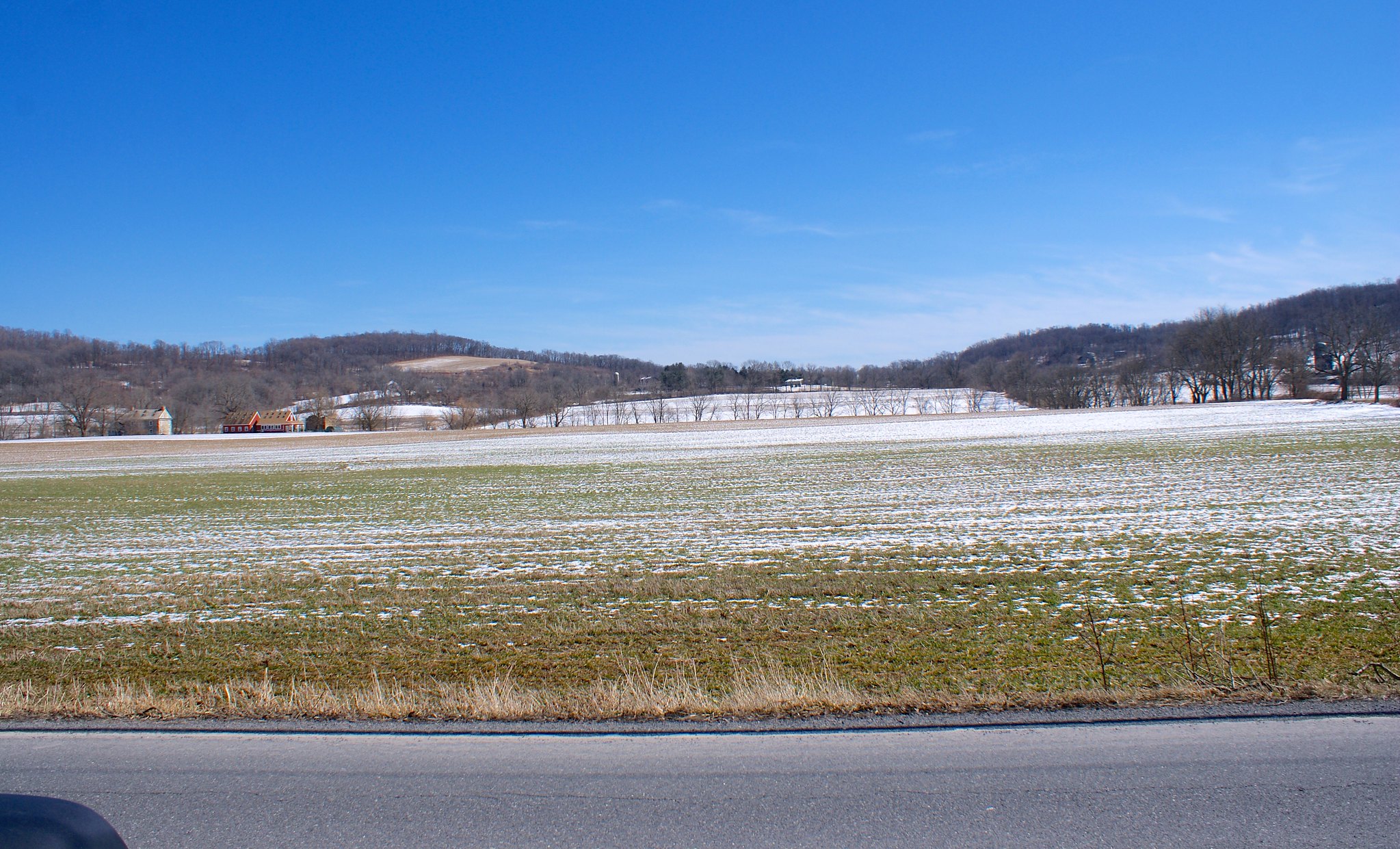
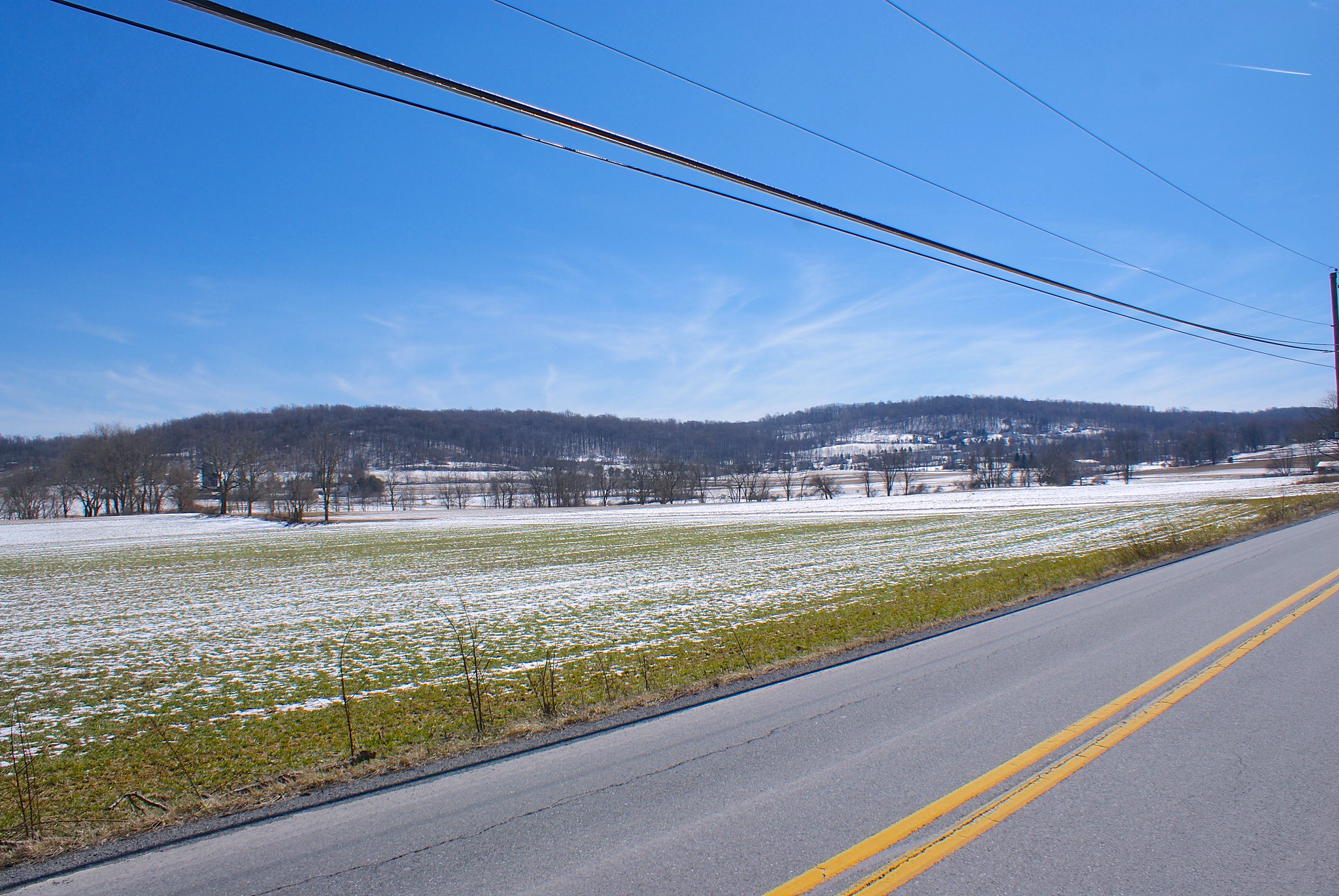
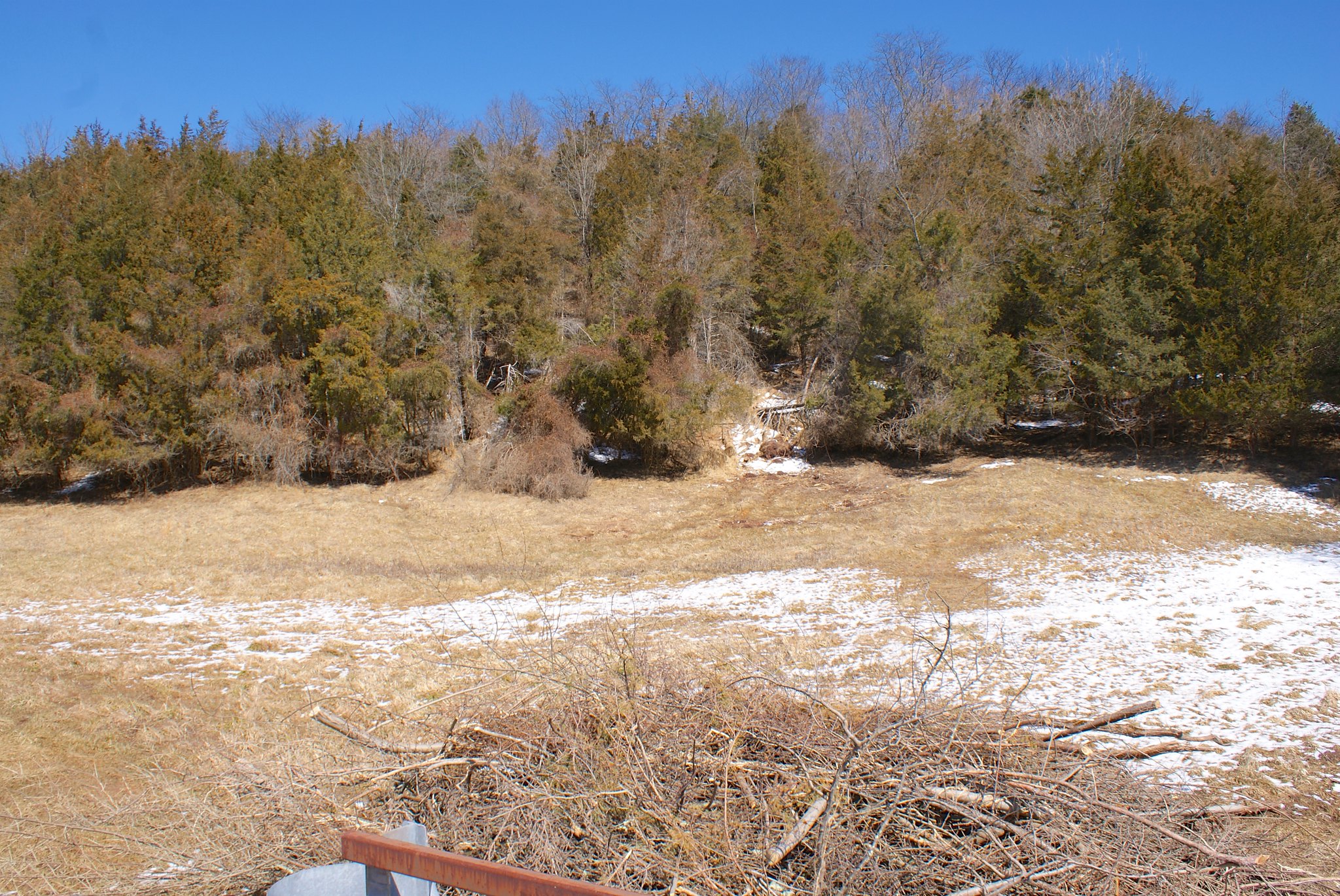
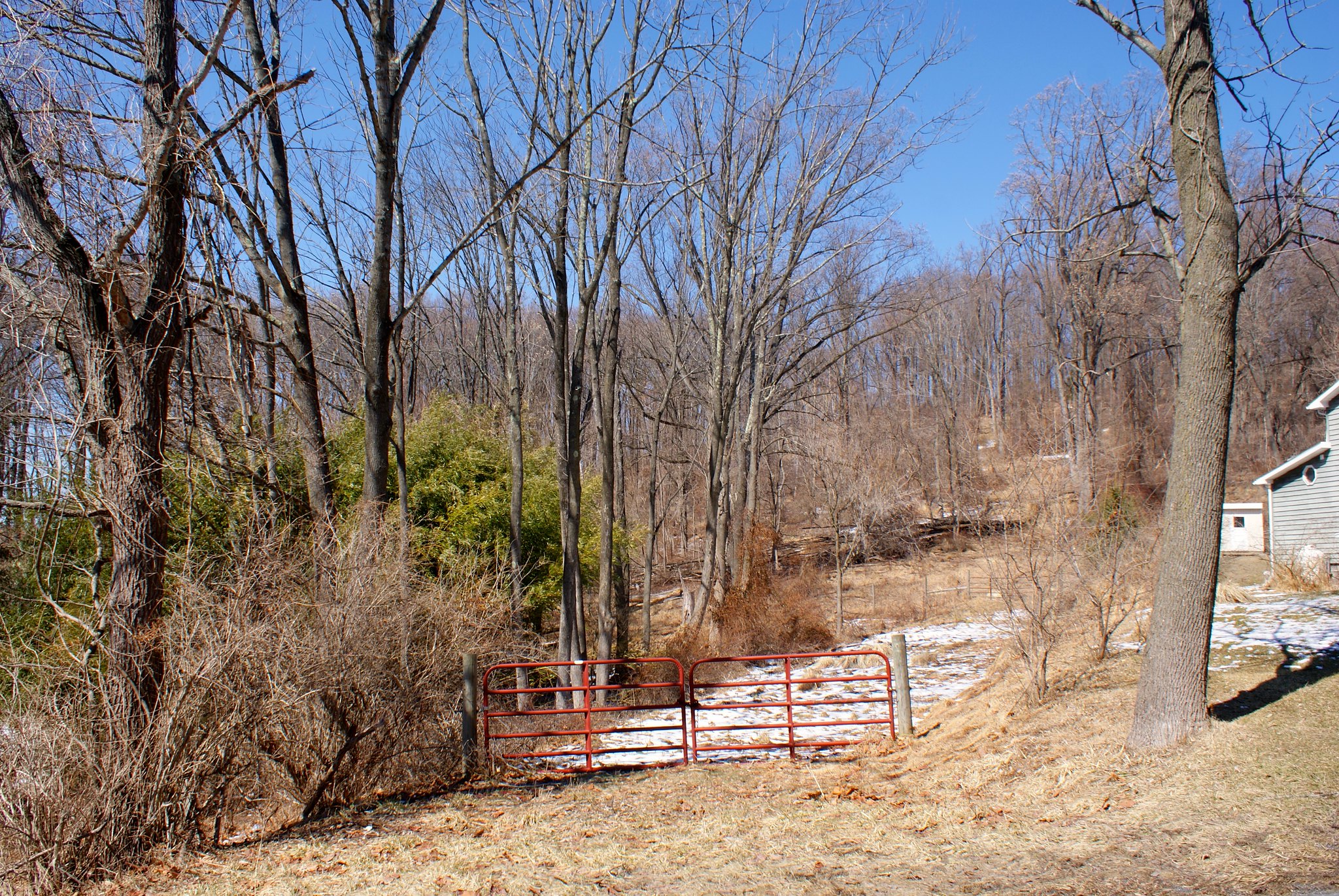
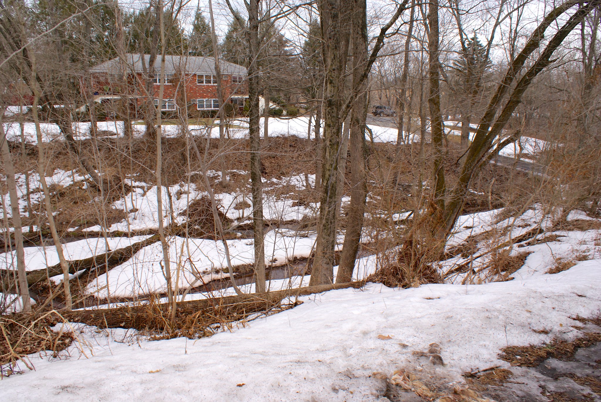
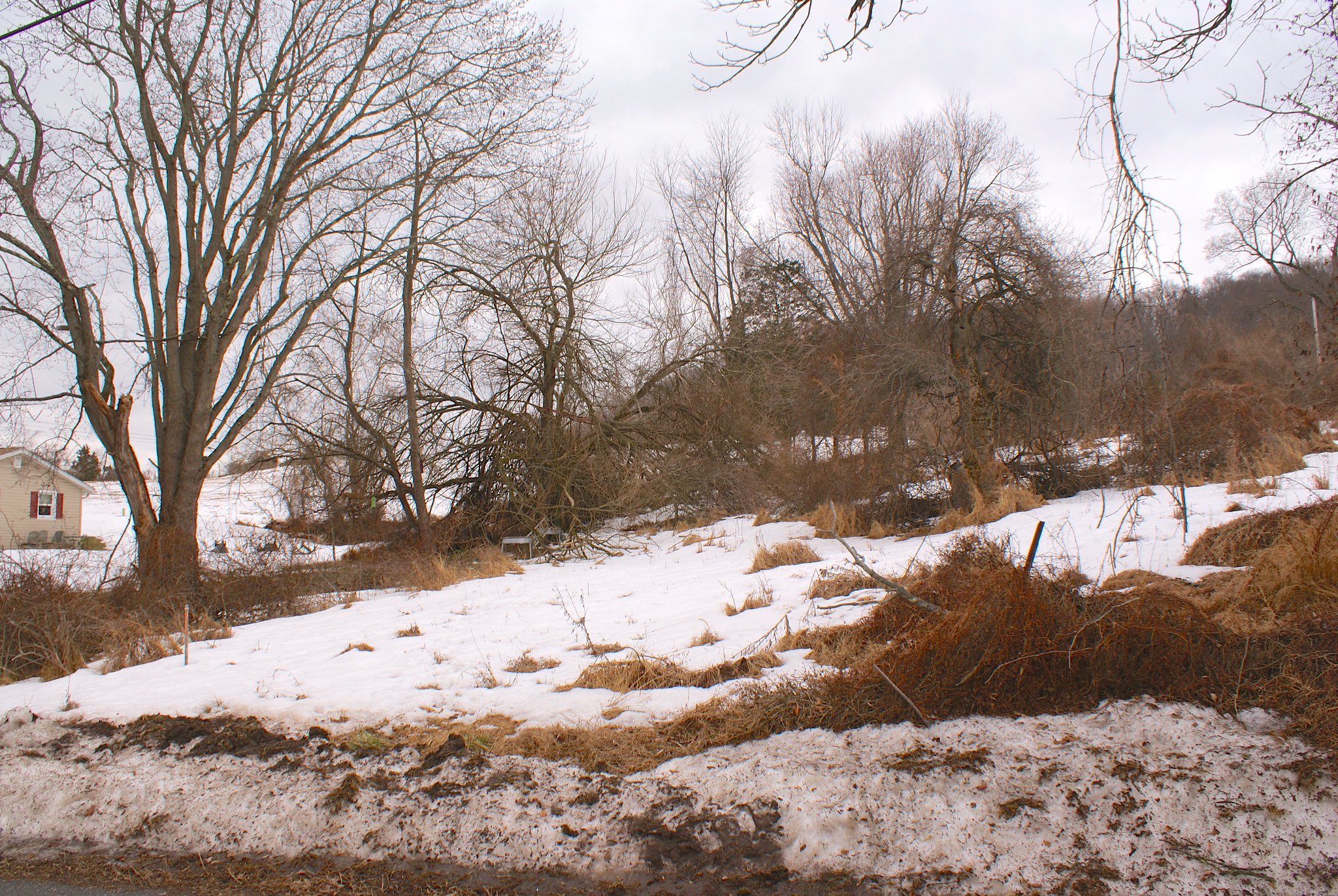
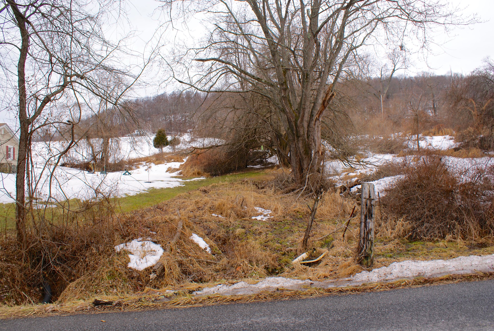
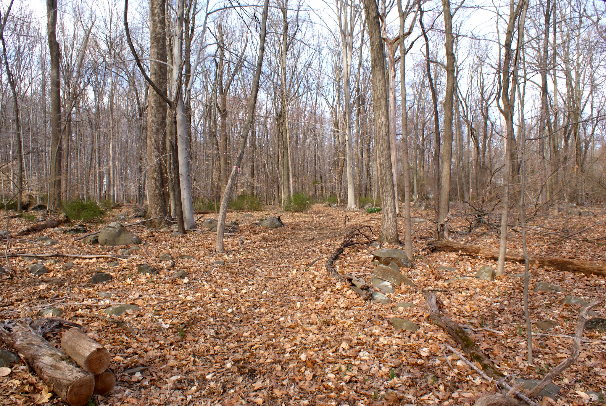
After the survey folks said they found a bunch of cool stuff to the North east of Hewitt I went back to see what sort of goodies there were. This shows the terrain the new route will be going through that PennEast believes is superior.

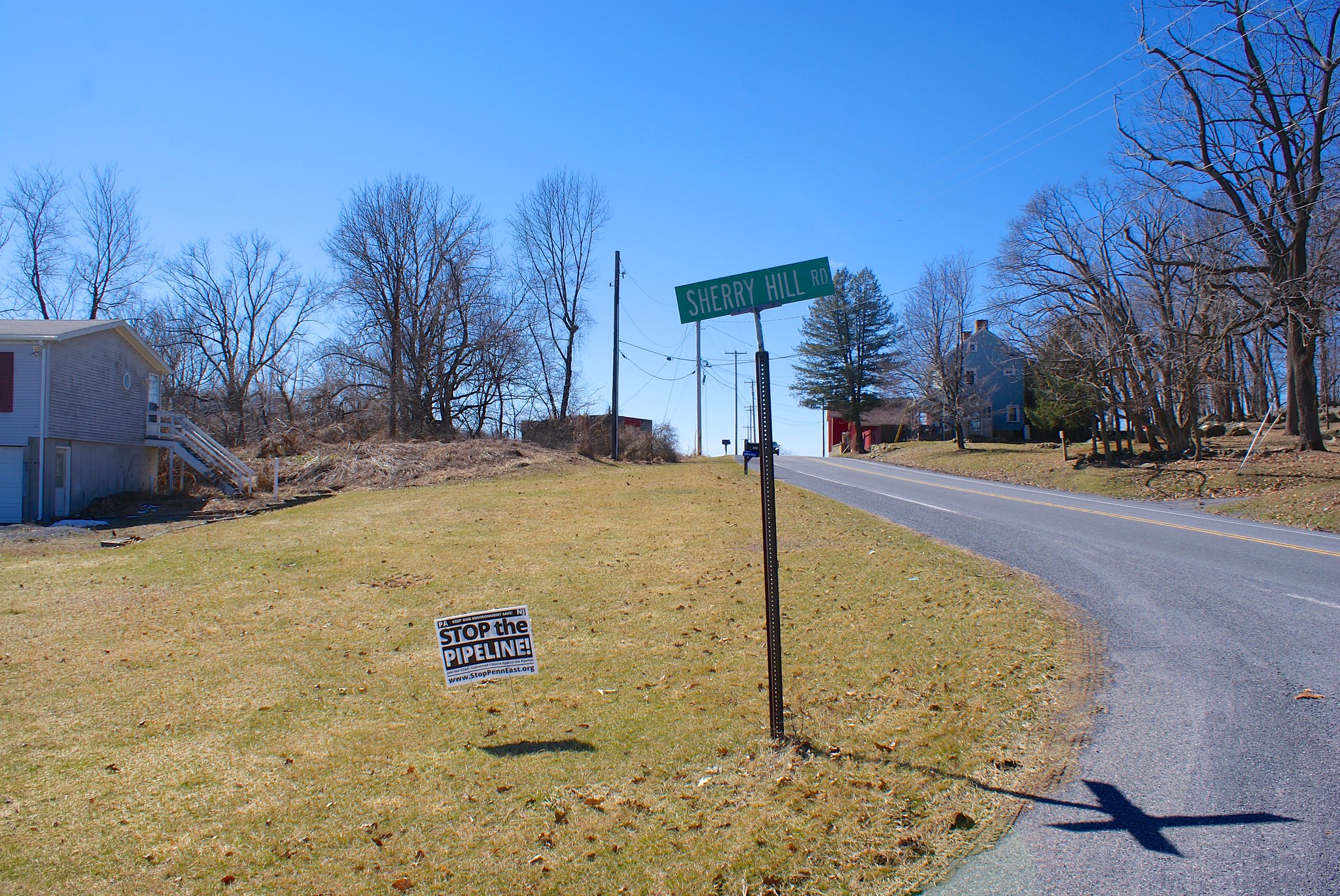
Old road behind Hewitt Road
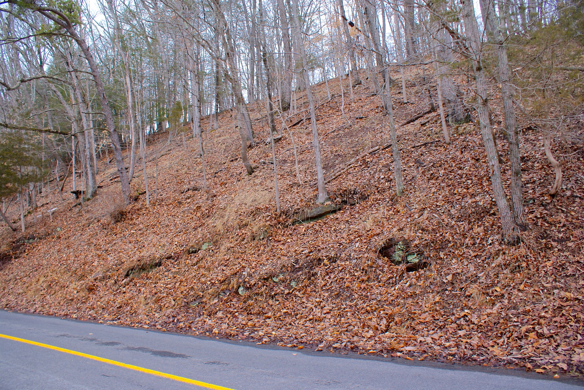
As I mentioned in another post an old road was found behind the houses on that side. Originally people thought might have been a cobble stone road from the 1700s but the archeologists were not able to substantiate that. They speculate it still could have been a road dating back that far, possible used to access the stone quarry holes in the area.
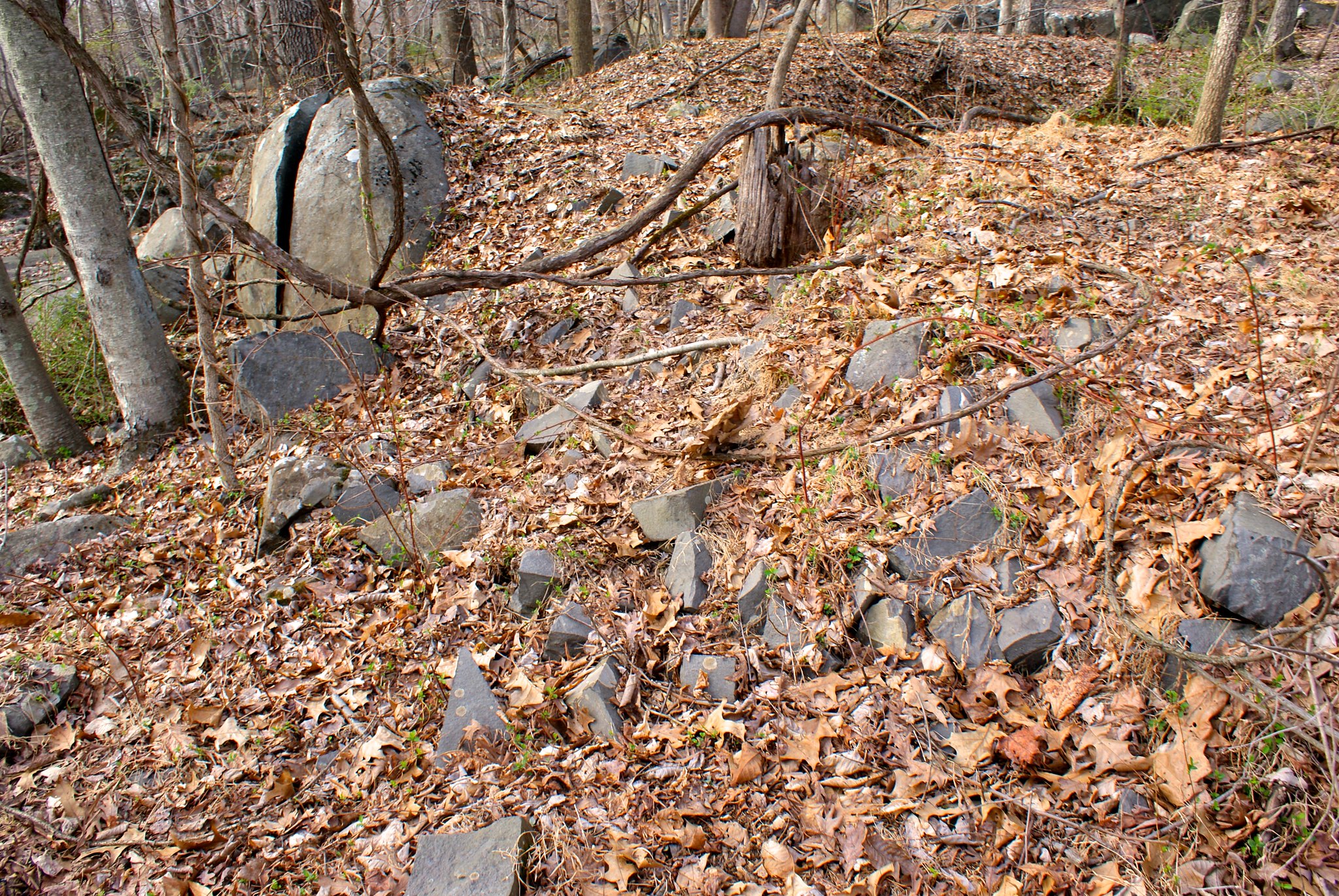
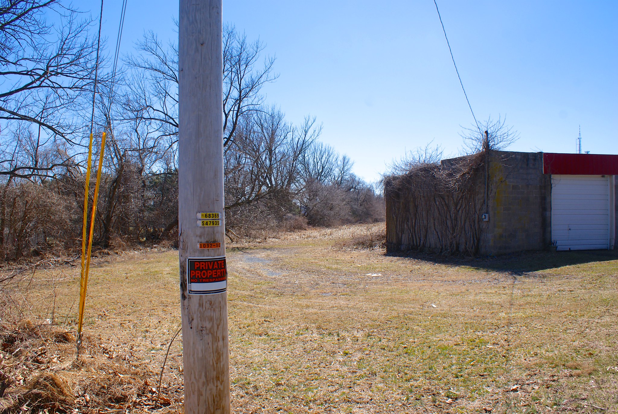
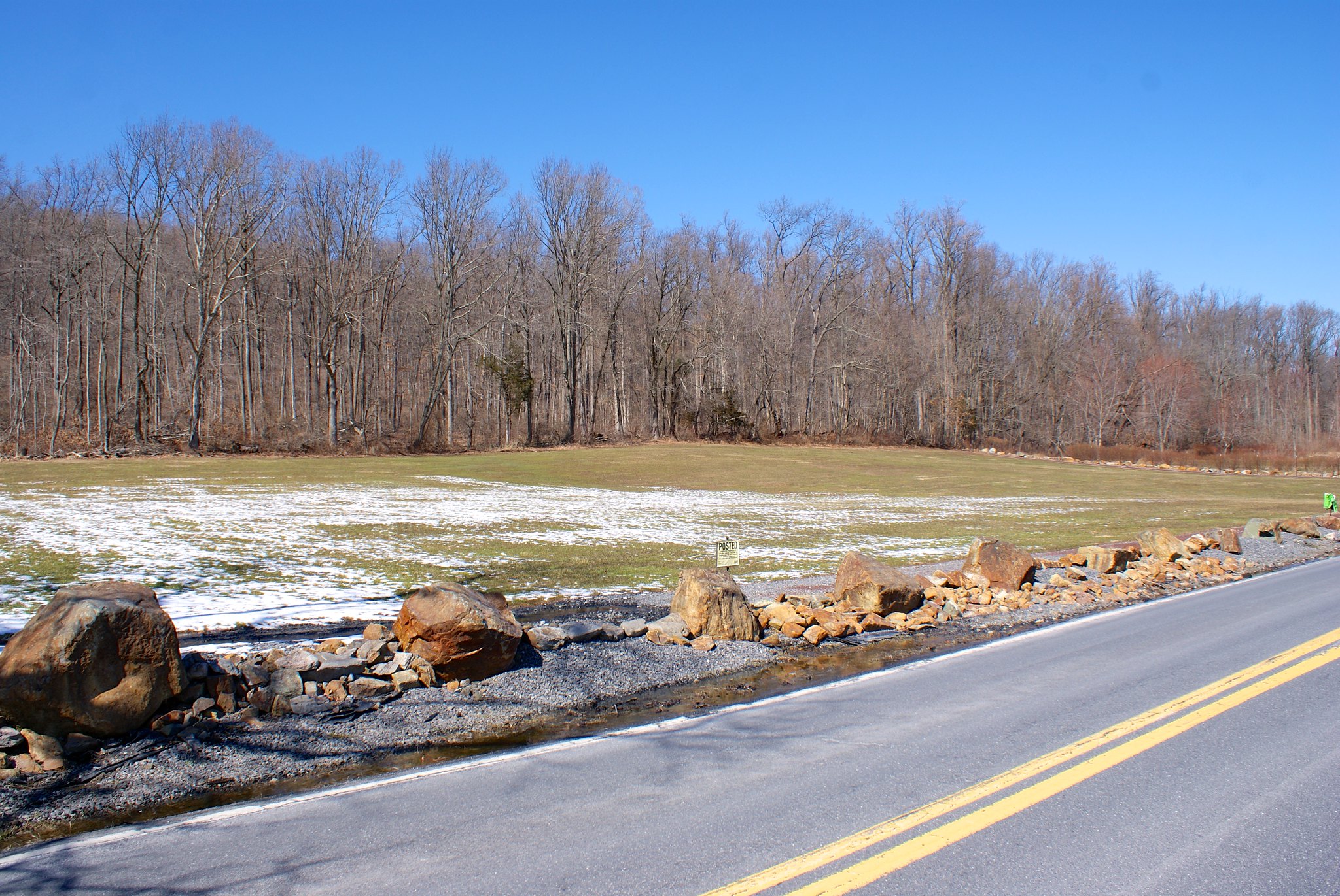
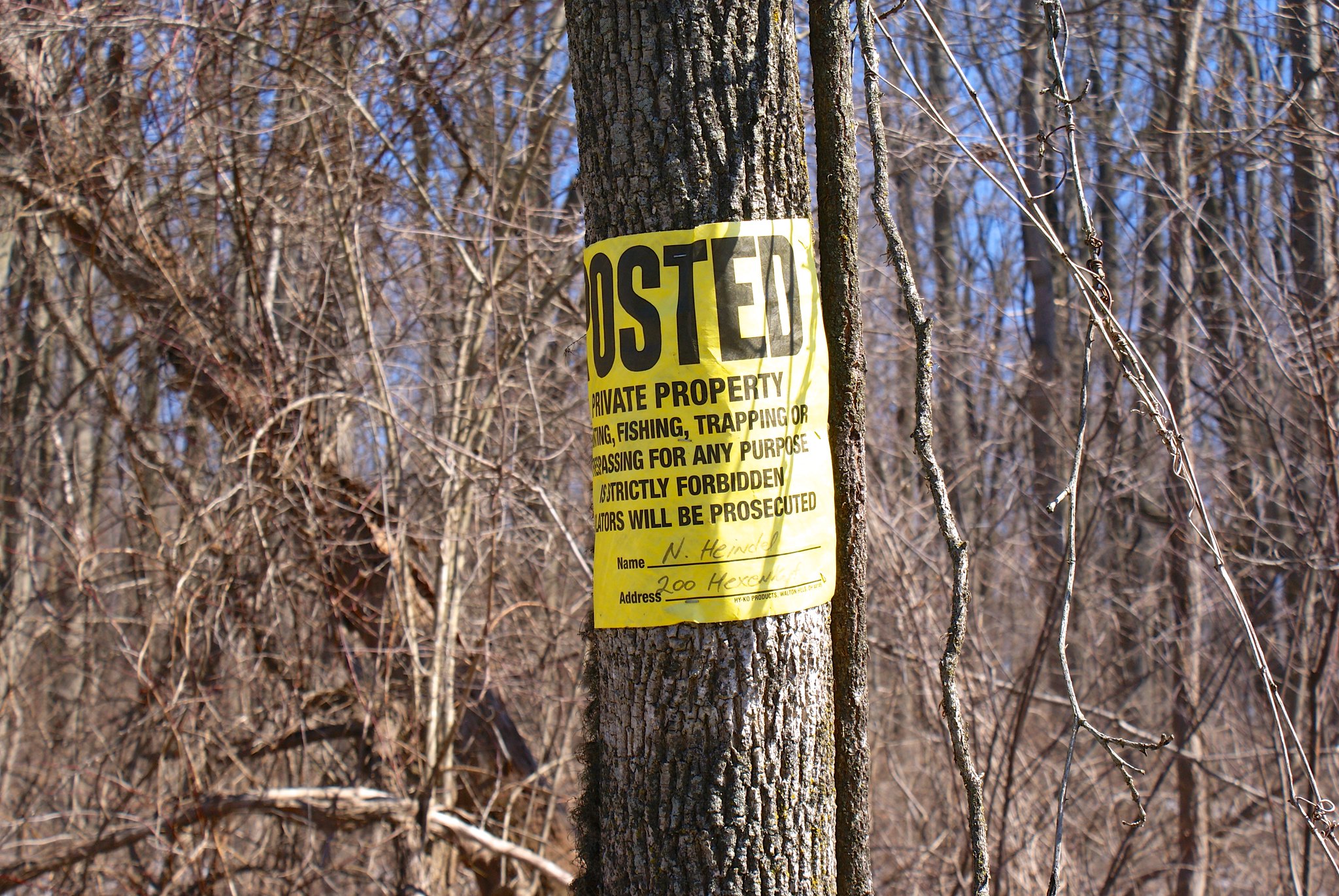
Quarry Holes

When I last met the archeologist he said the number of quarries found between Hewitt Road and Old Route 518 was now up to 61. Those are 61 holes from the 1700s or earlier where people would manually dig and chisel out stone for use in construction.

Many of these quarry holes are right on the new pipeline route. This is the biggest one I found:

Here’s the other side of that hole.
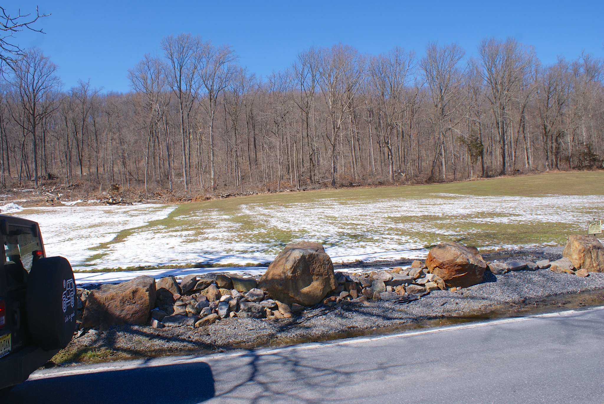
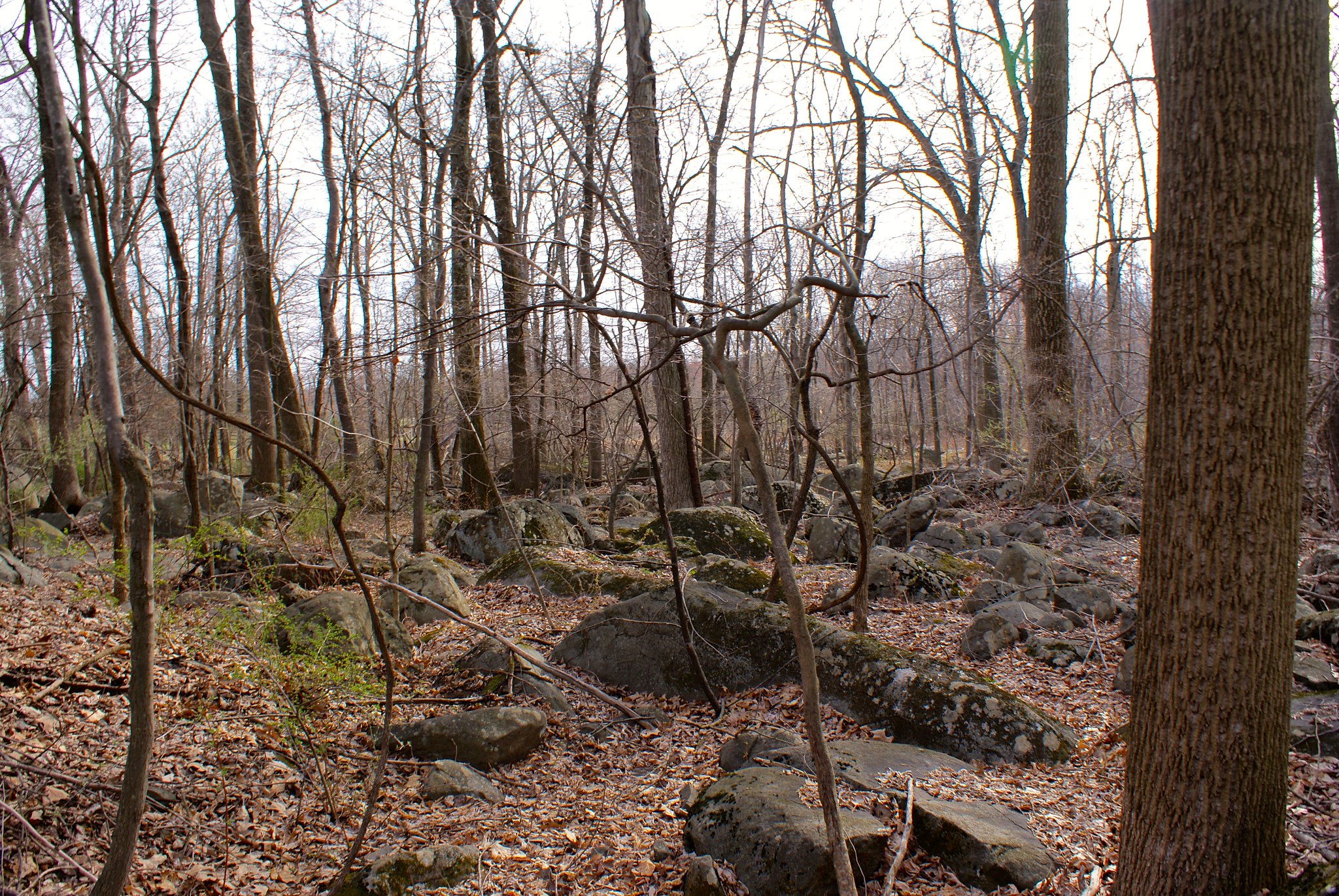
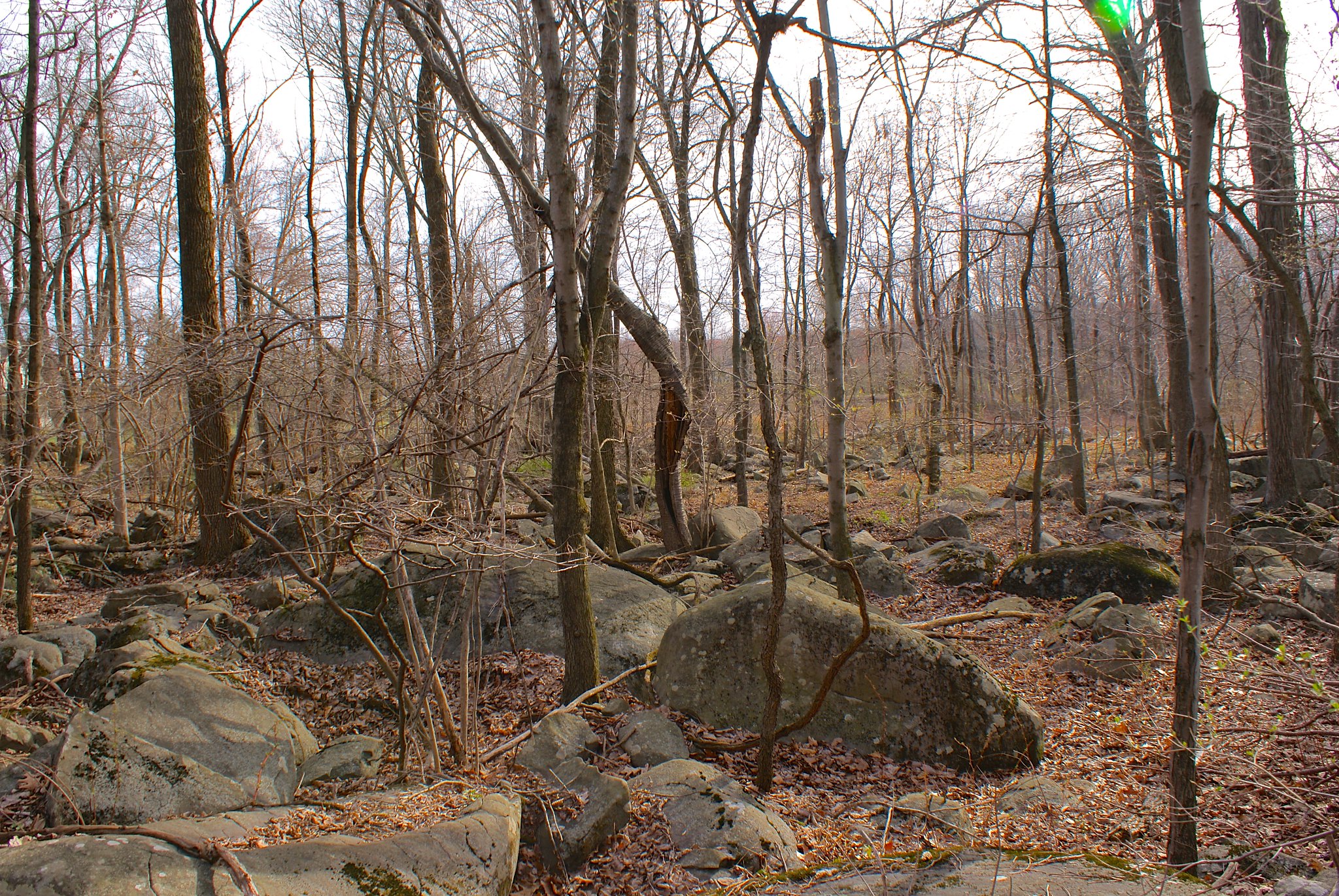
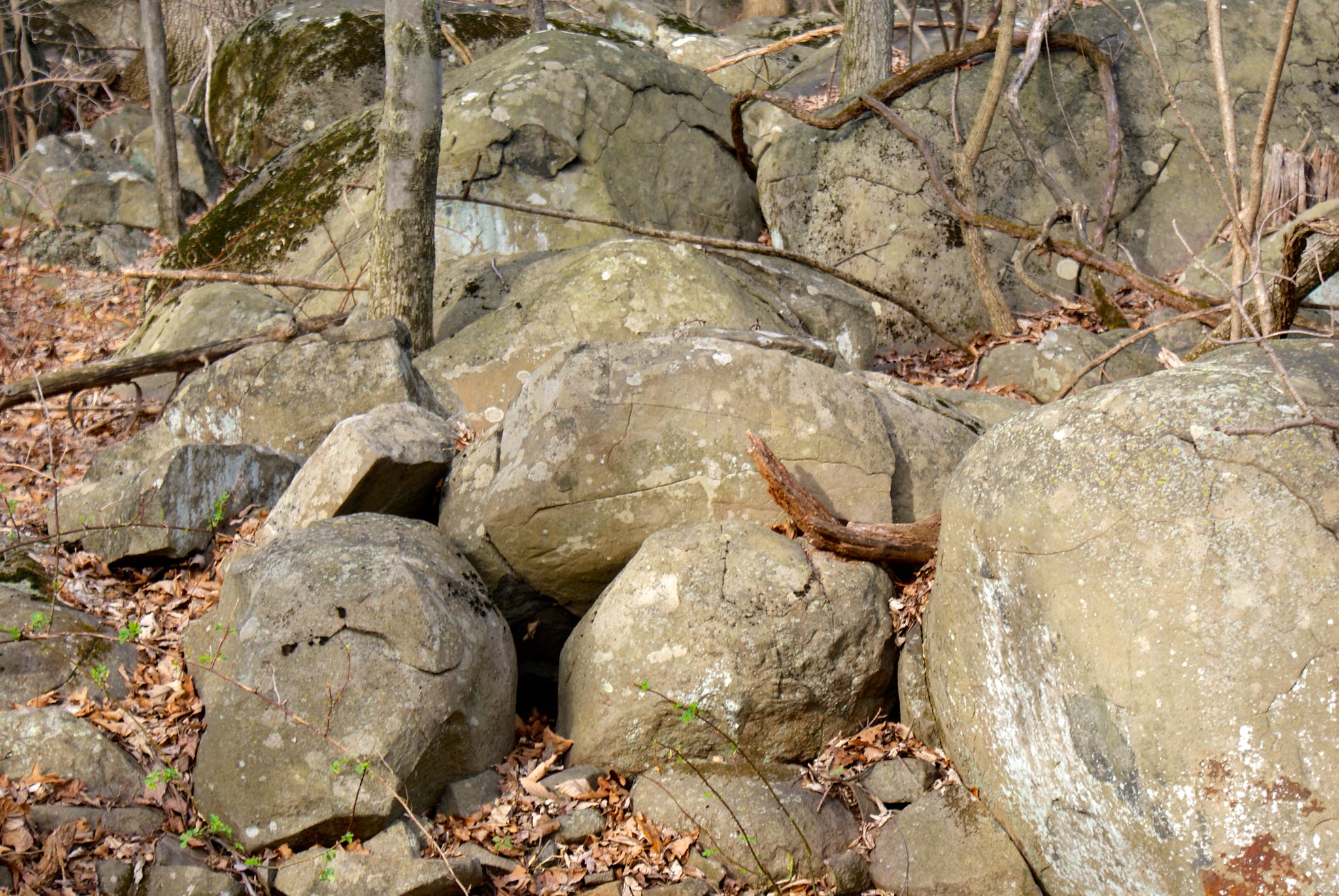
Boulders everywhere
Further to the north east the boulders get thick. Really thick. You could walk a quarter mile just jumping from boulder to boulder without ever touching the ground.

Some of the boulders are REALLY big:

And the boulder field just goes on and on and on…
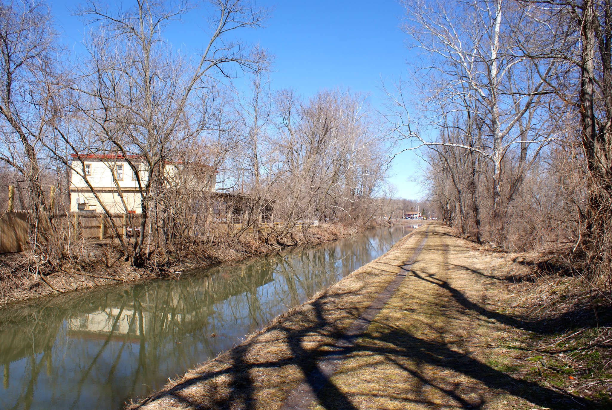
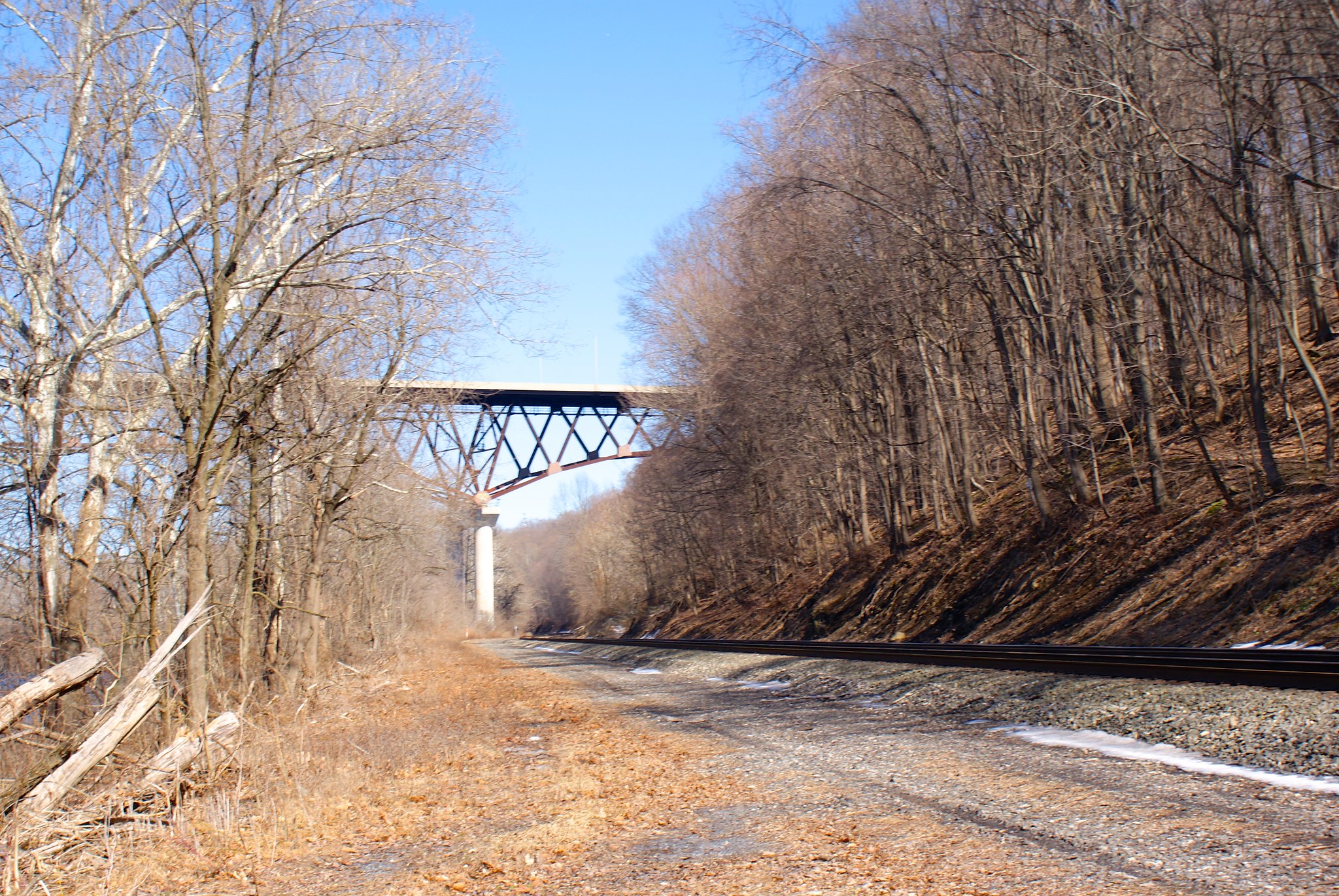
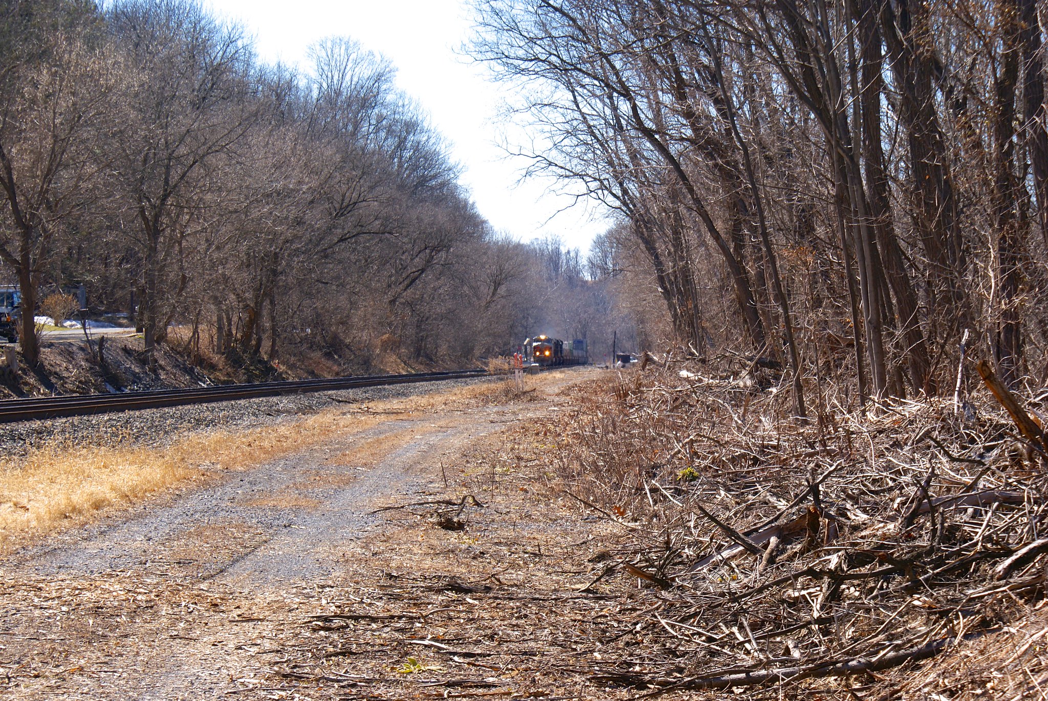
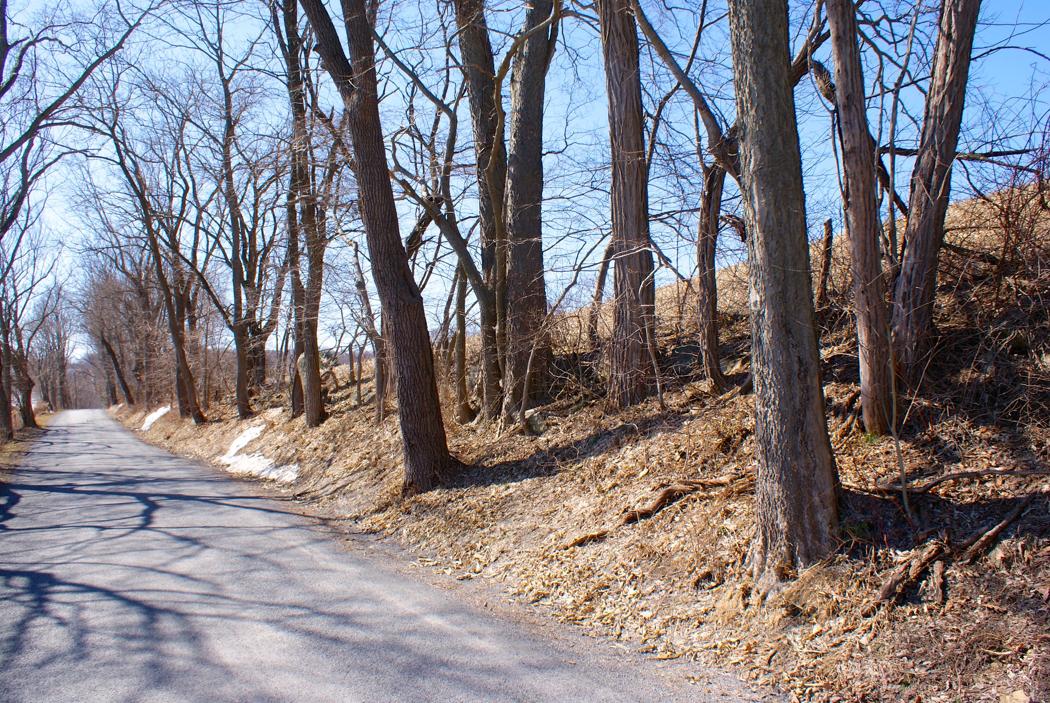
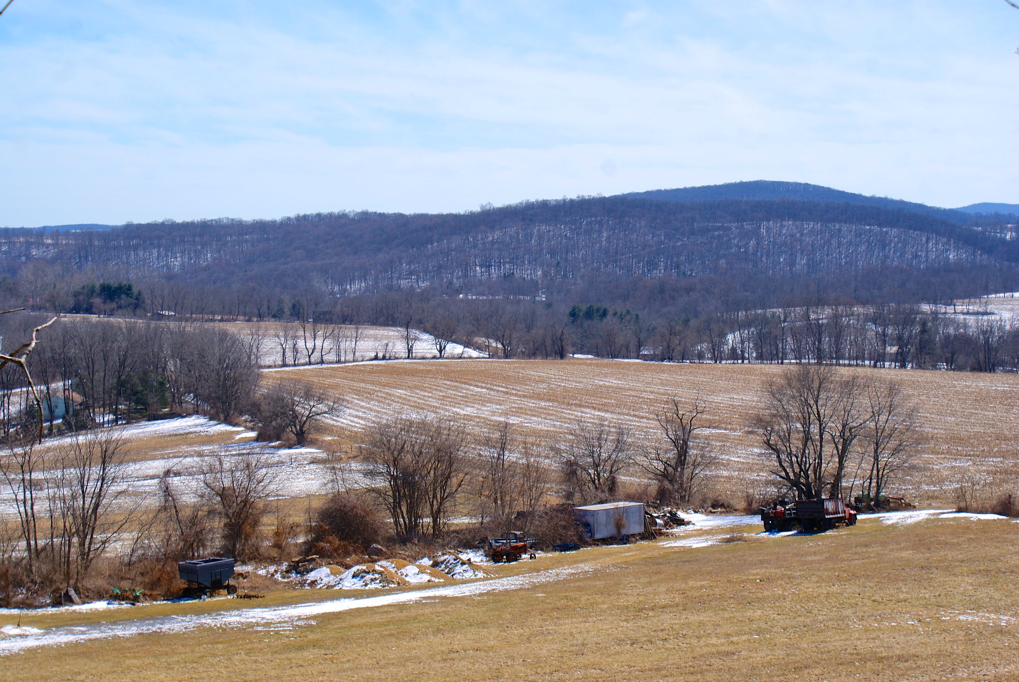
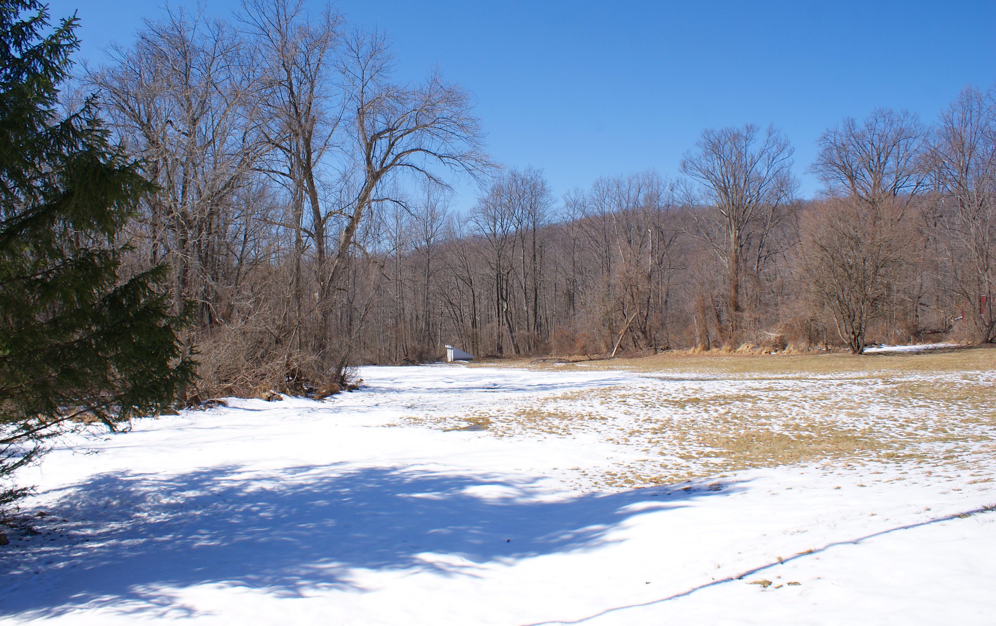
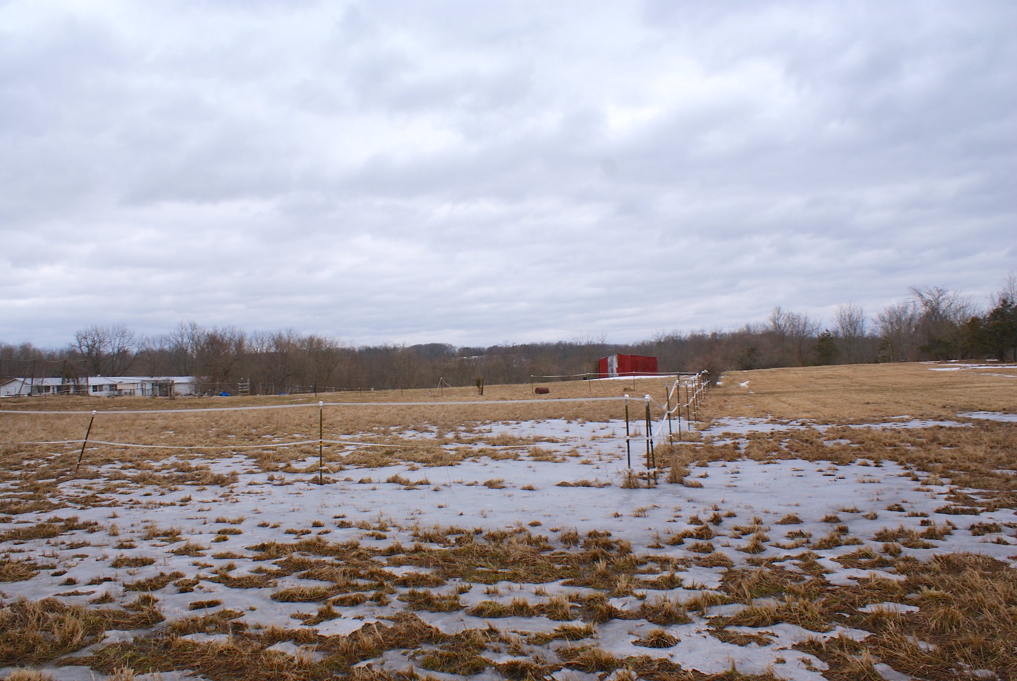
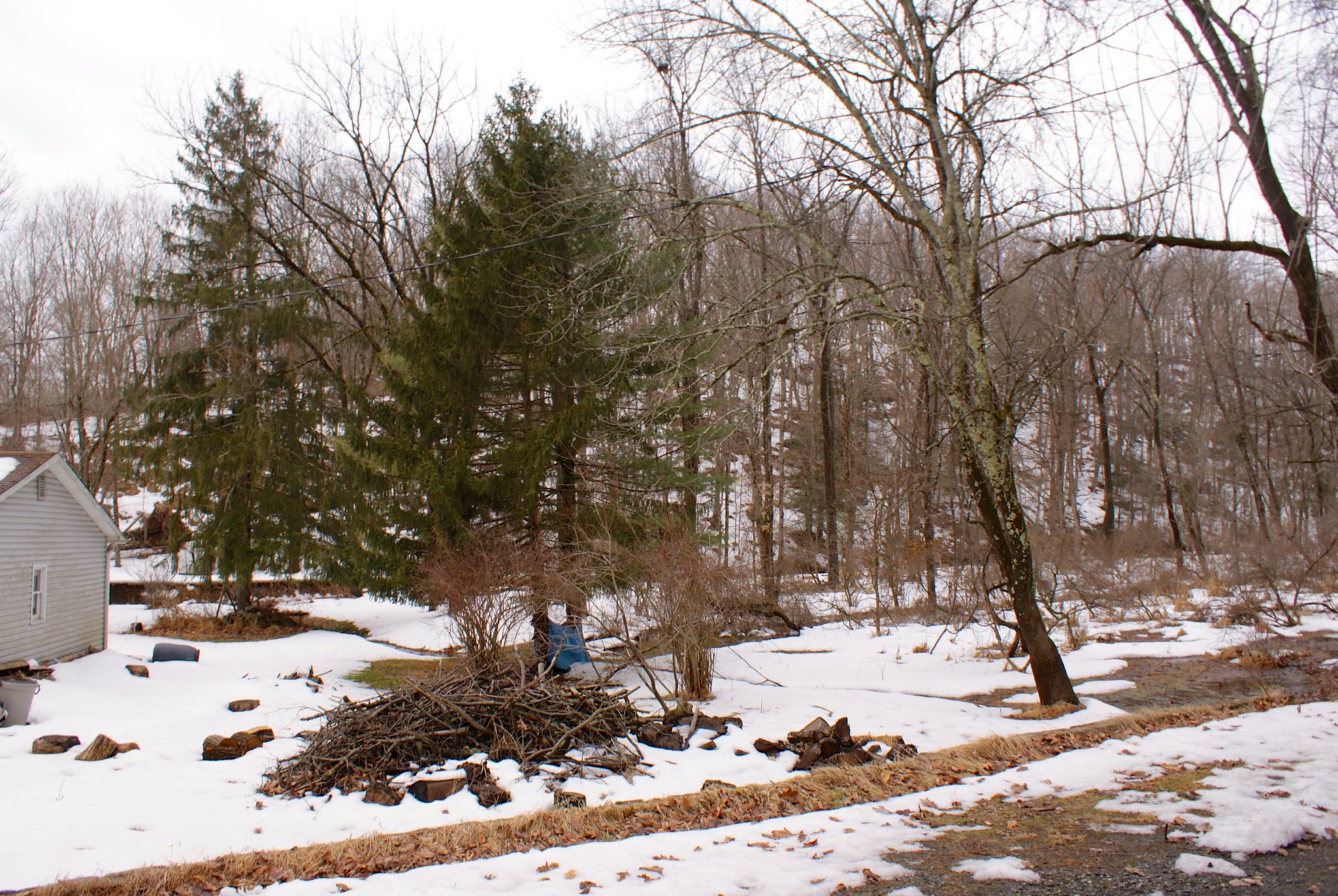
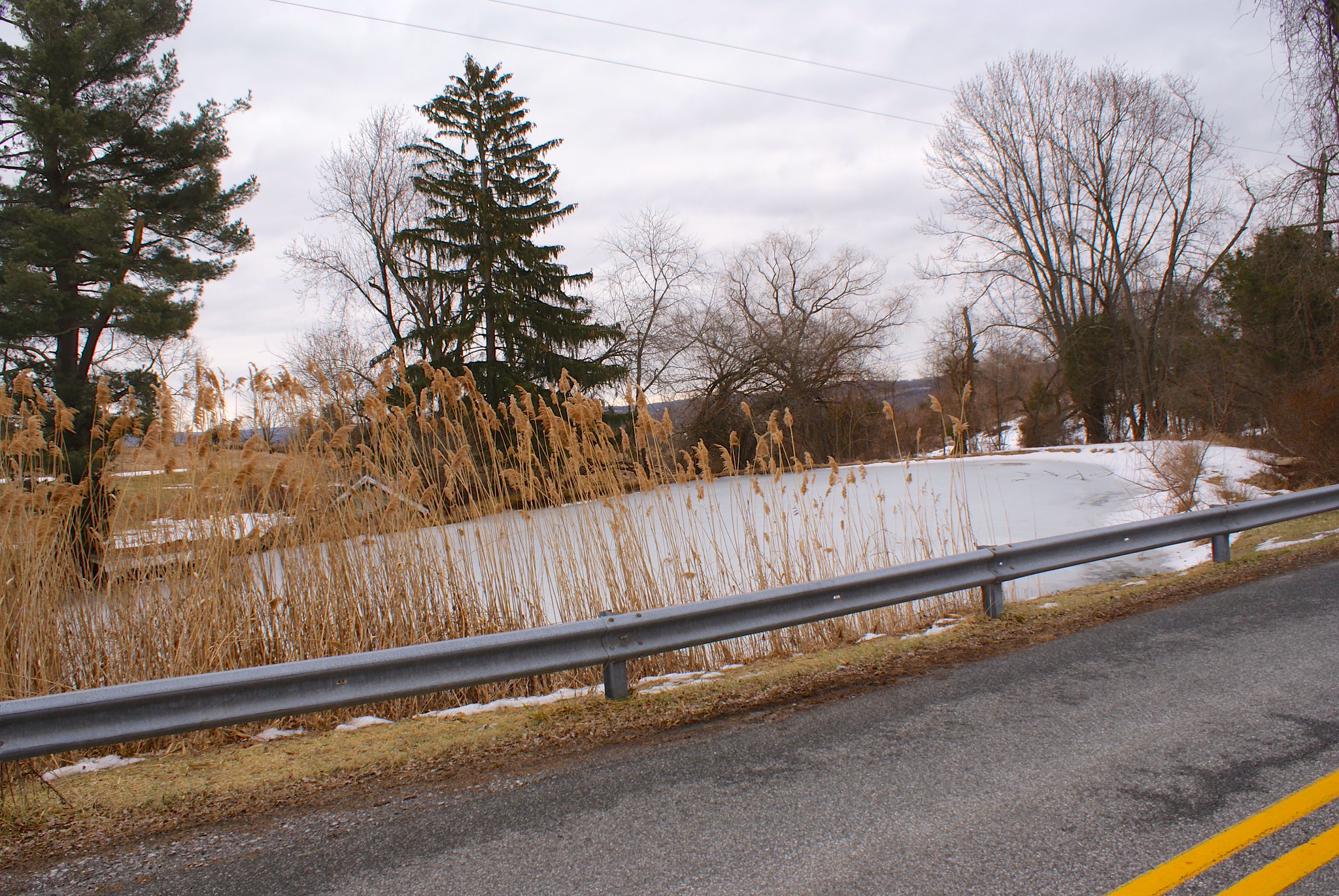
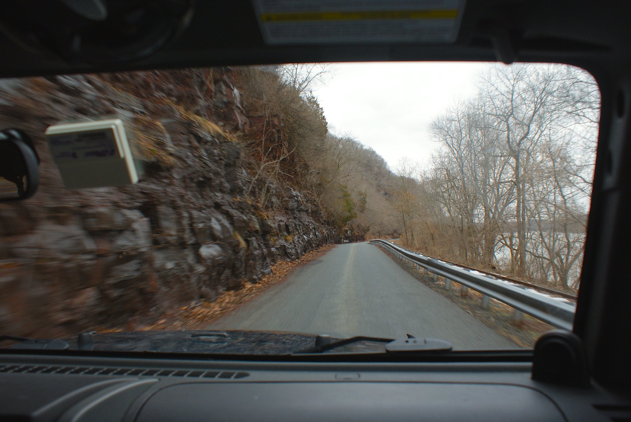
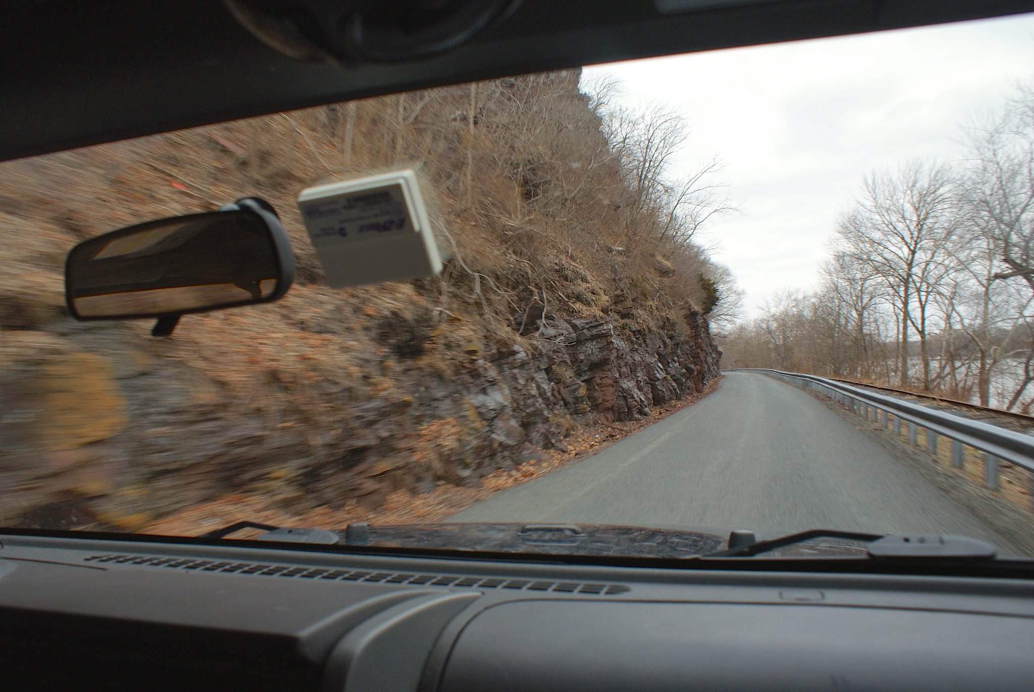
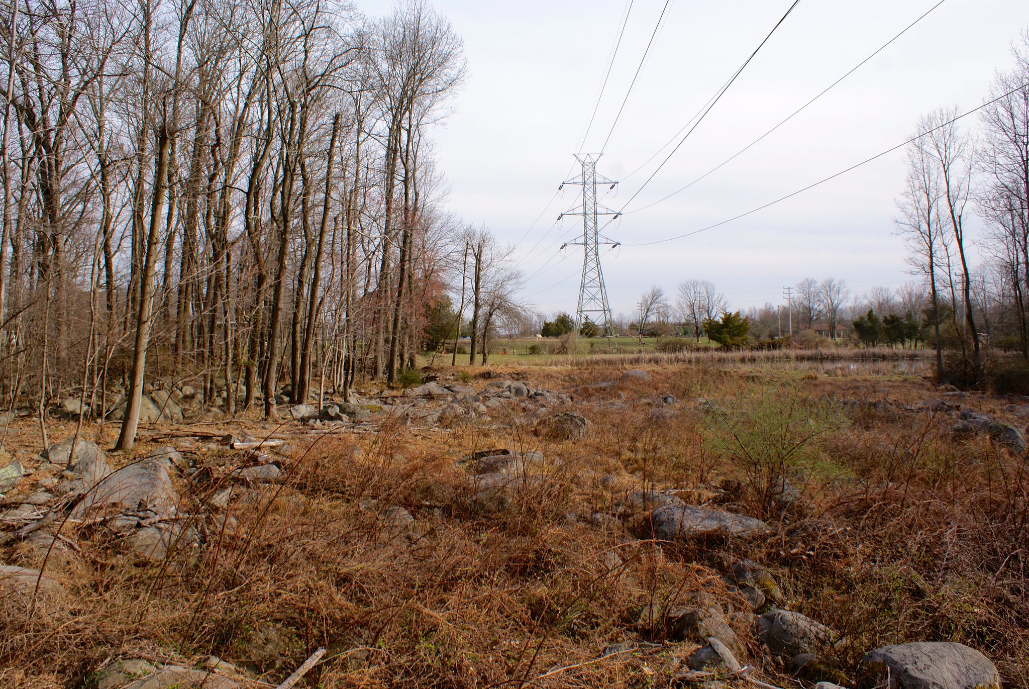
Powerline easement
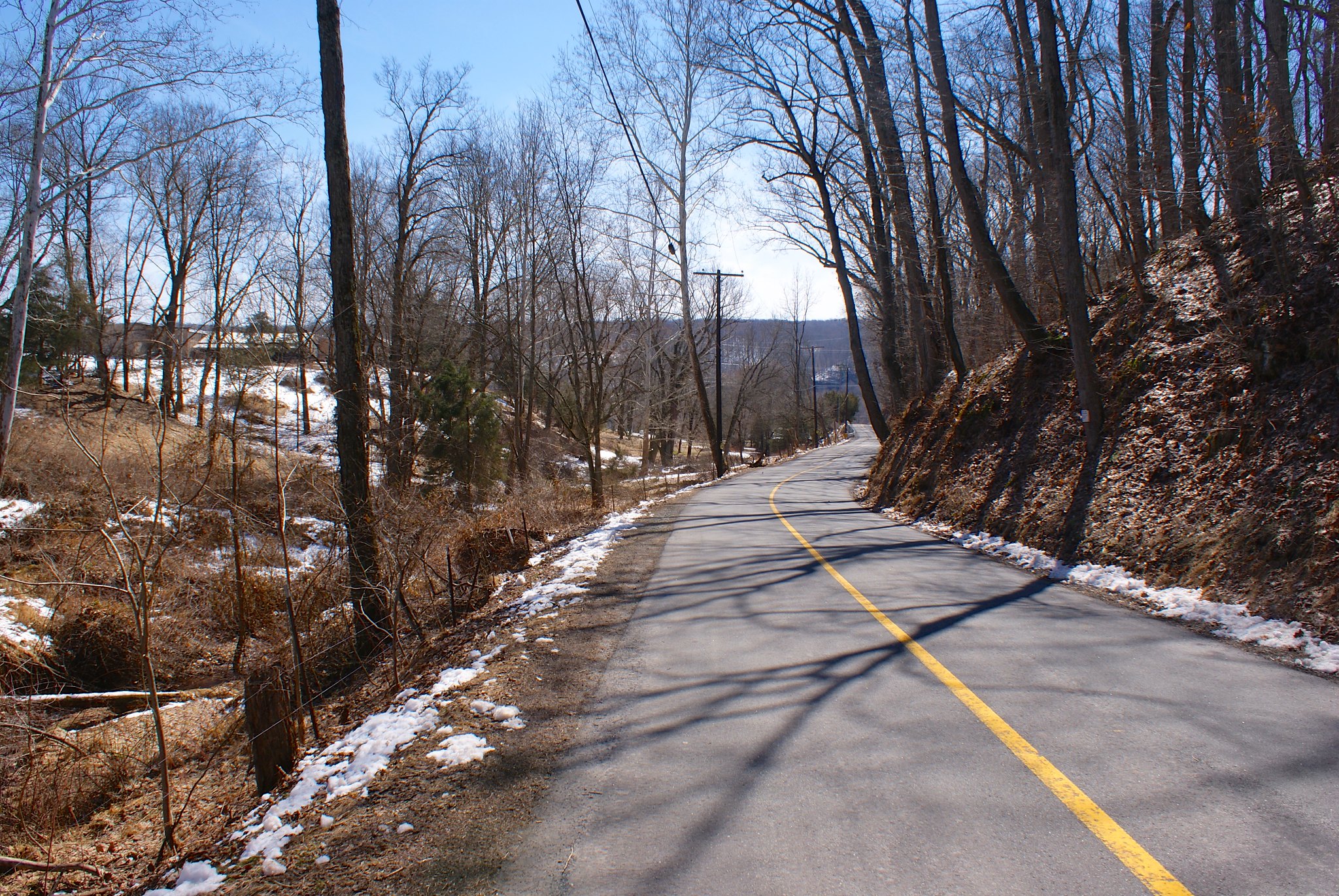
Eventually you come out to the power line easement. You can see more slopes and yet more boulders. Construction along here is going to a noisy, messy affair.

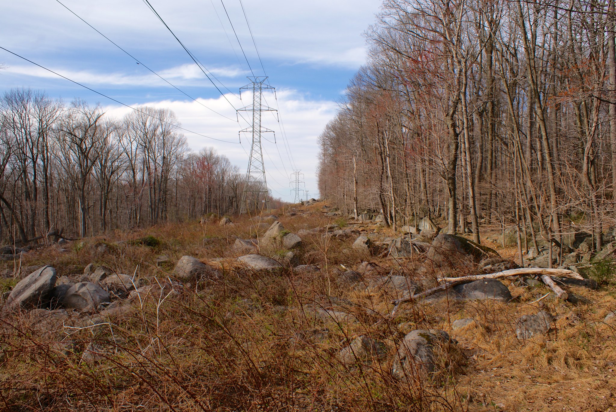
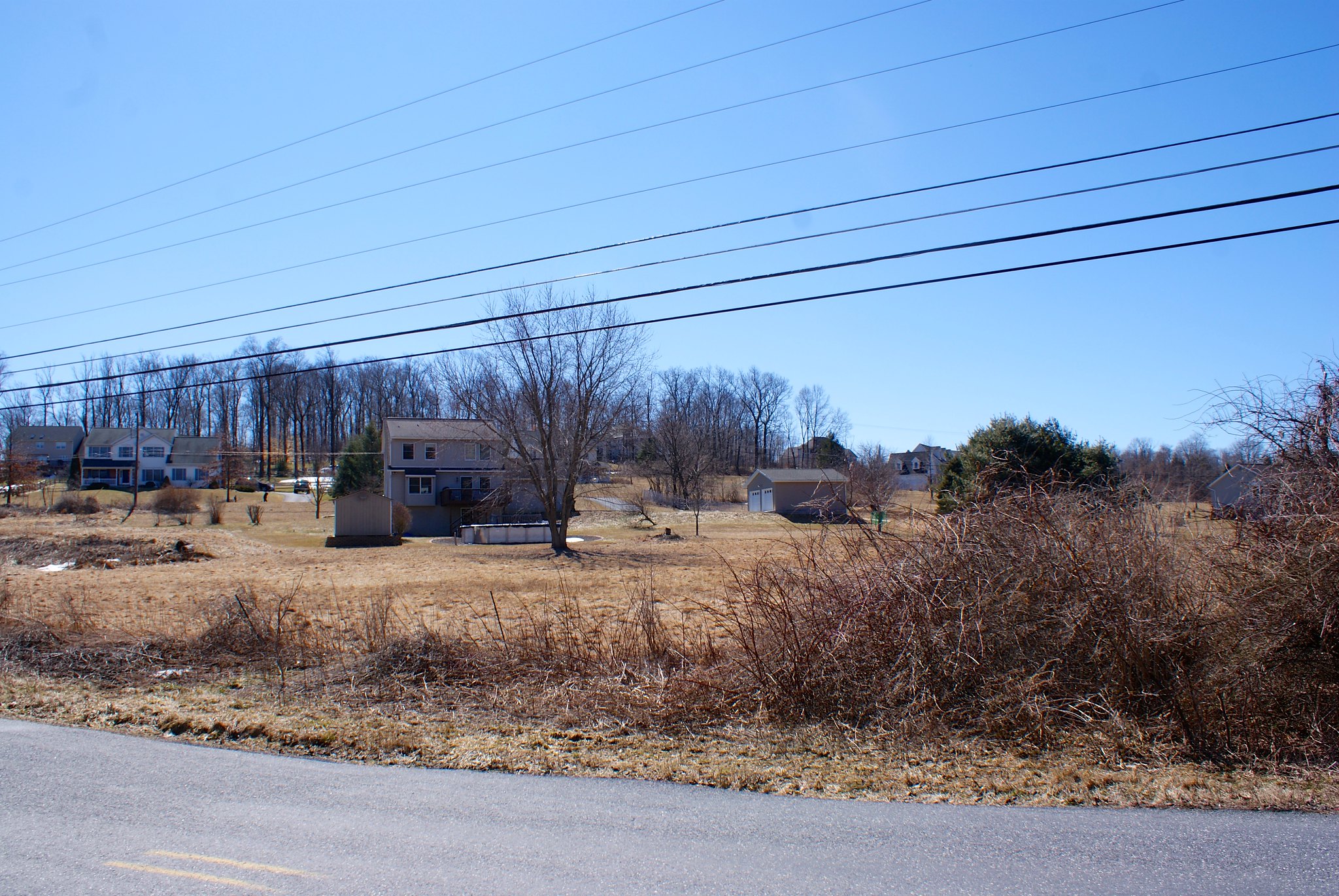
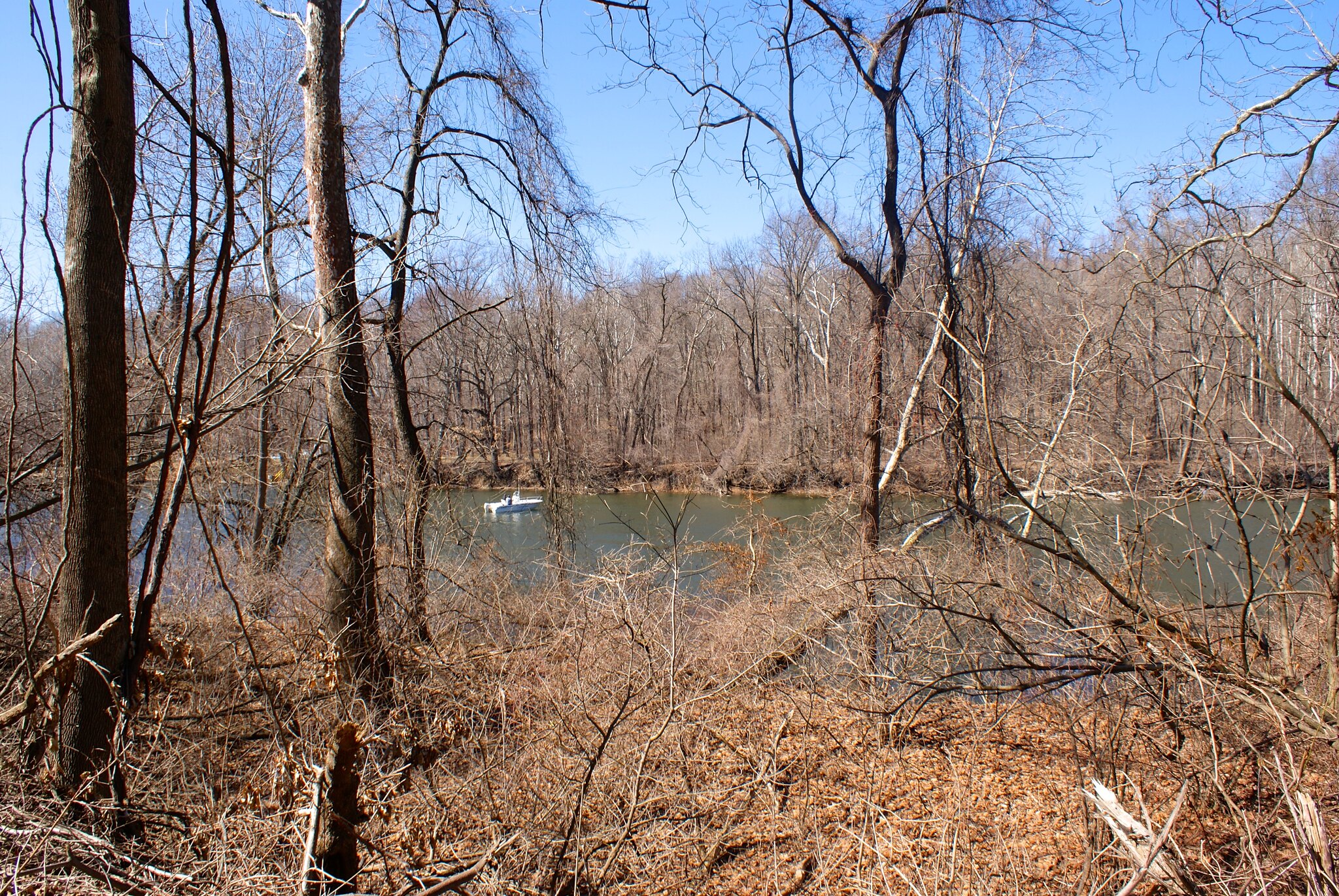
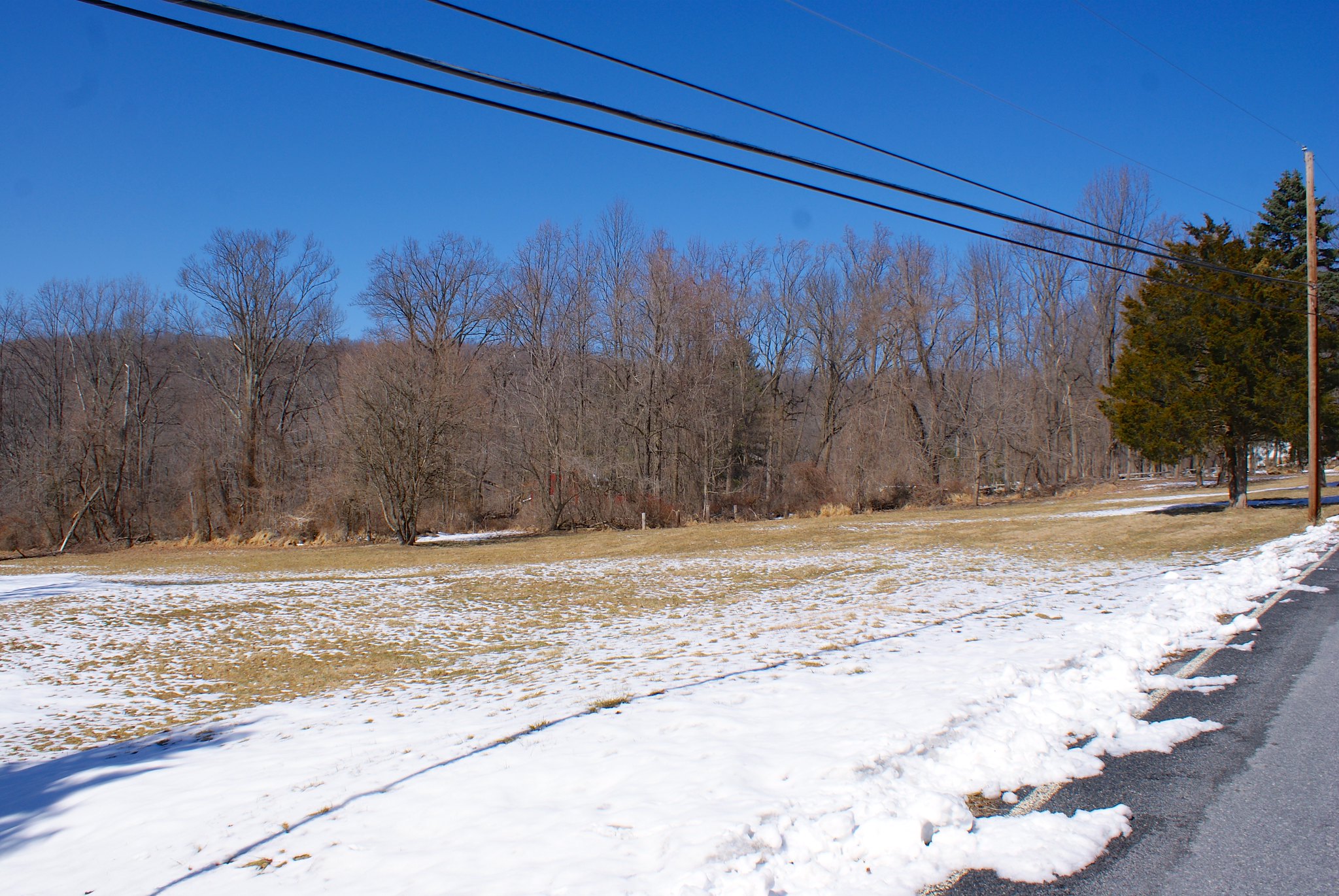
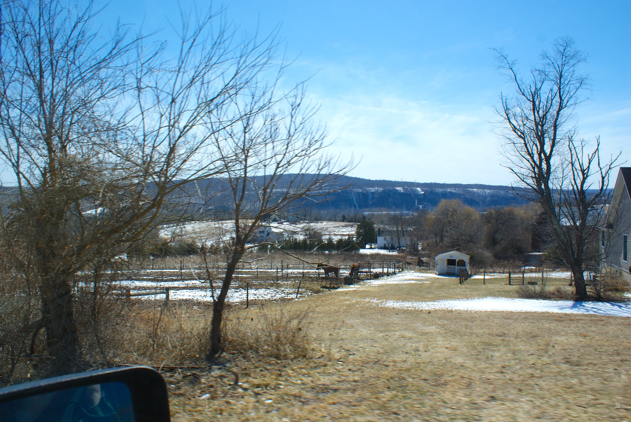
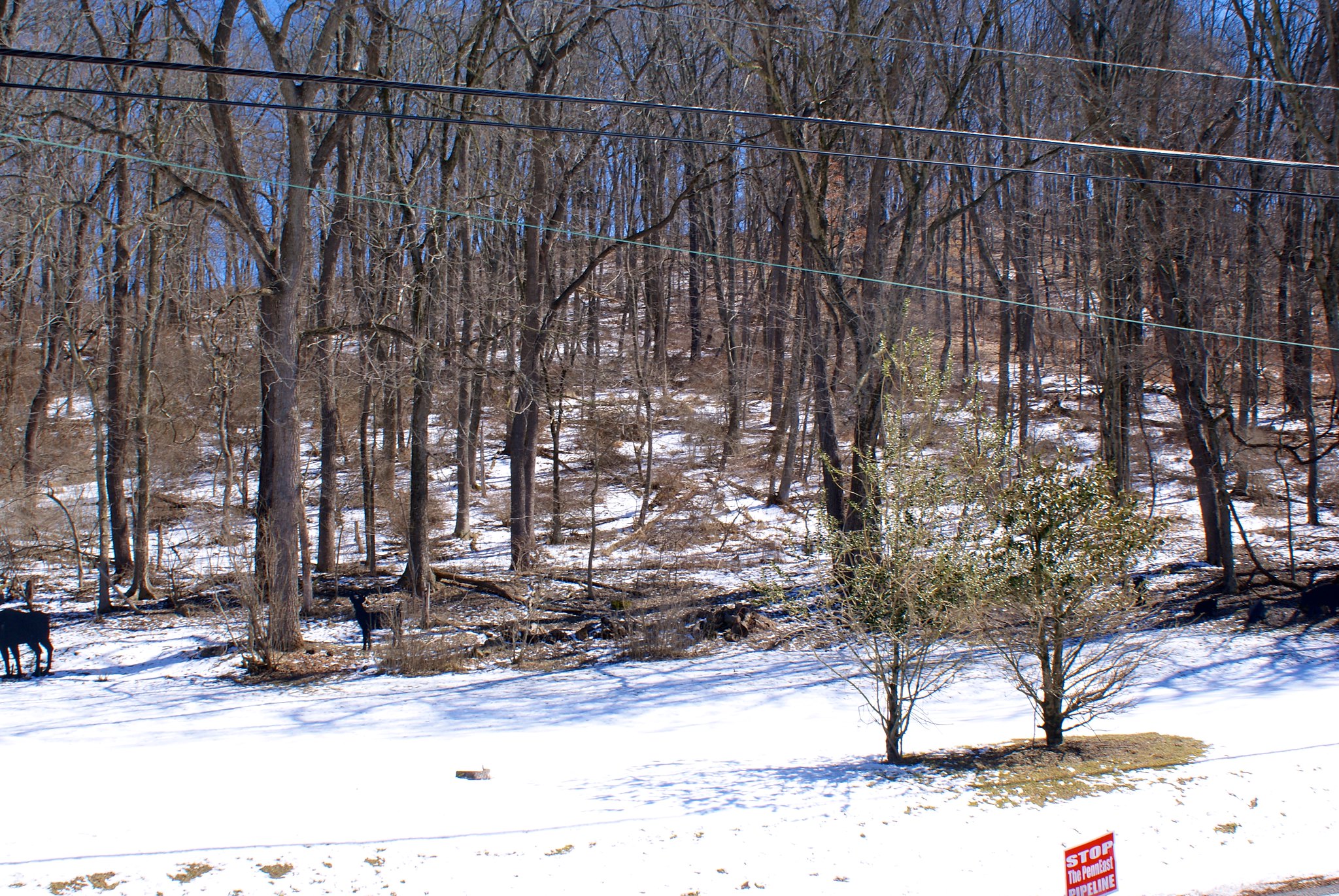
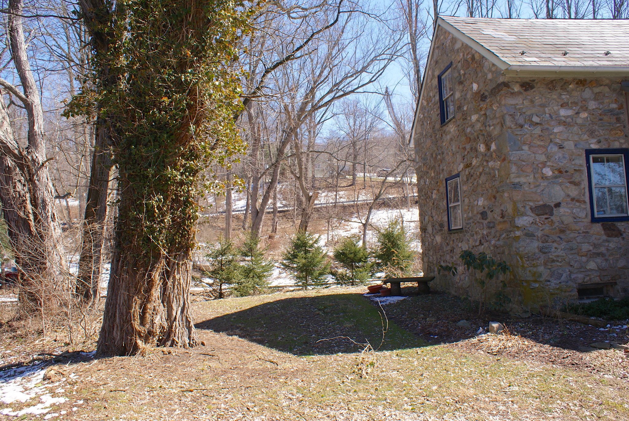
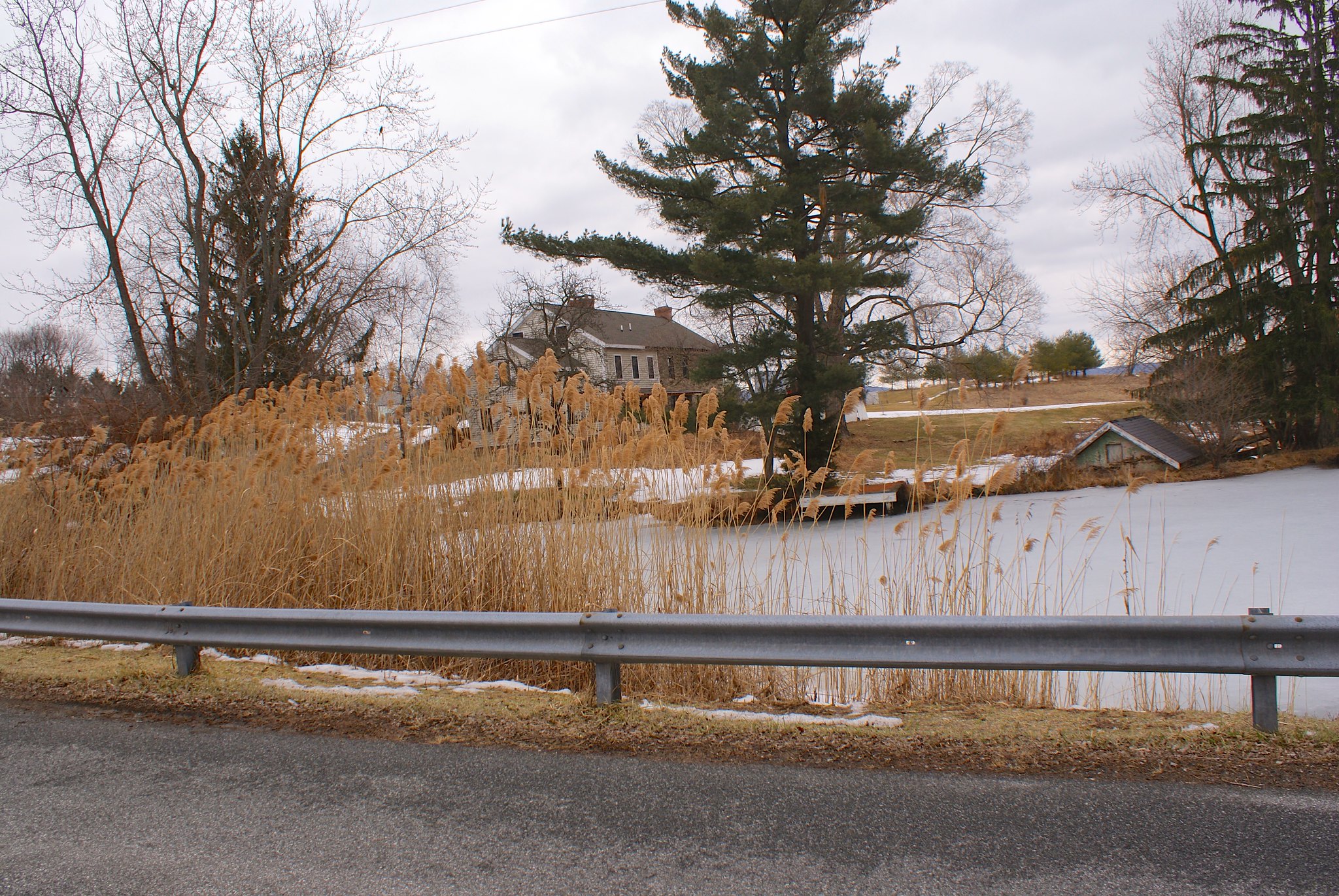
A view from the easement towards the horse farm which the route now misses. The small structure you see to the right in the picture behind the trees is the picnic area for Hewitt Park. So even though the pipeline is further from the park it still comes very close and it’s still well within the blast zone.

Other quarry holes
Perhaps the coolest one I found was this one:

What makes it so cool is the chisel marks along the top of rock on the left. Here’s a closeup:

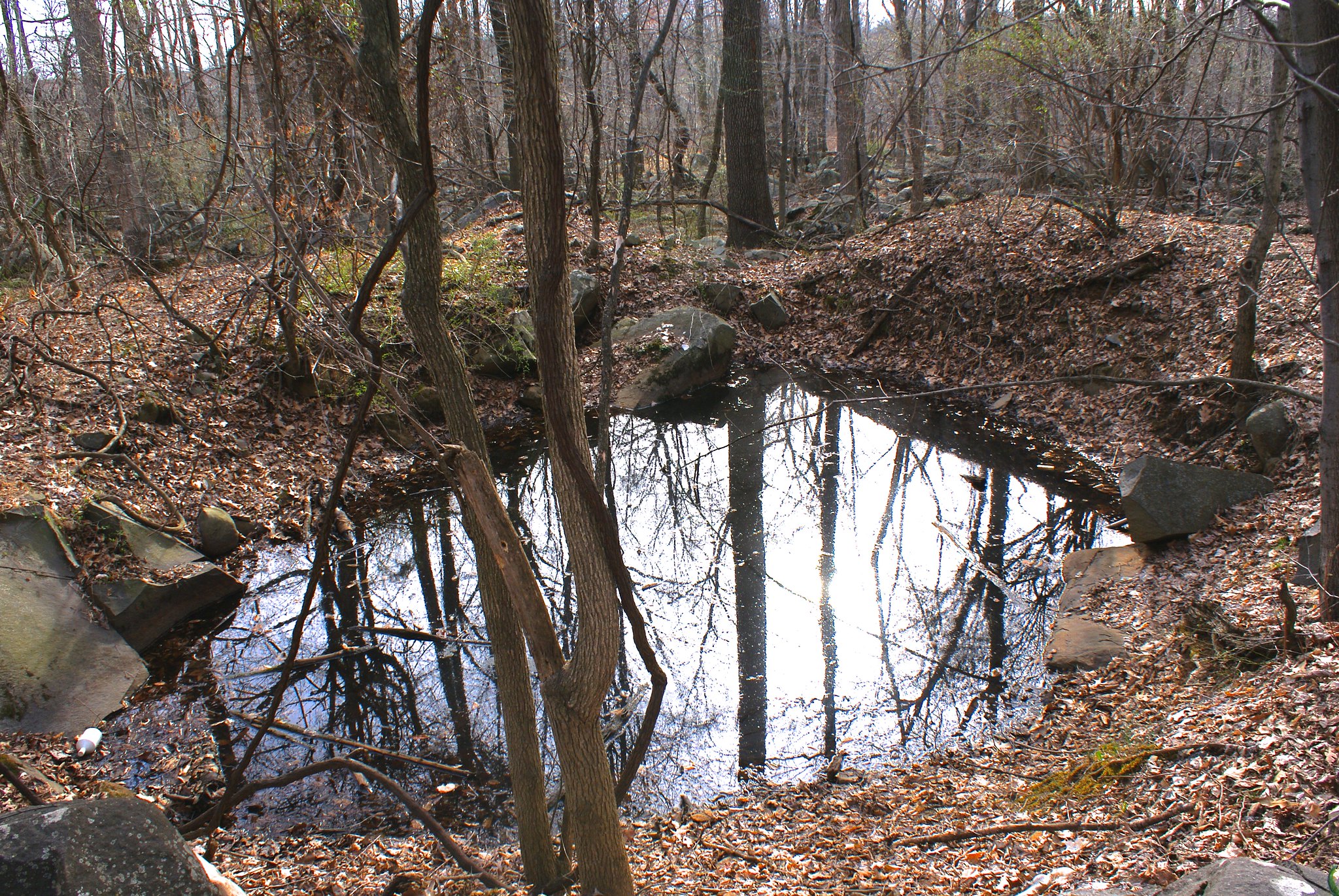
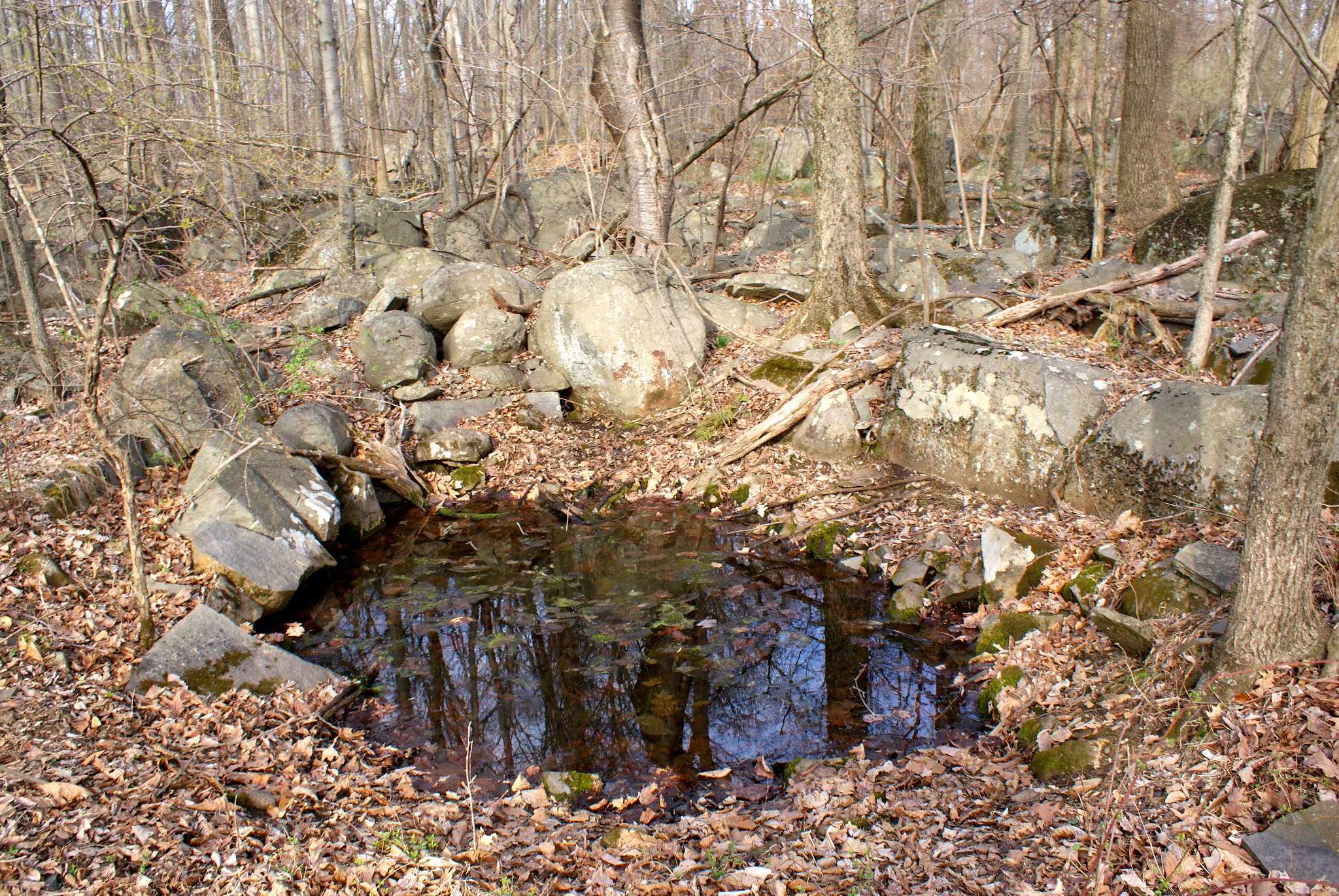
Yet another hole I stumbled on. I’ve been told these holes also serve as vernal pools and they’re the reason why we have so many salamanders and some other species in the area. Vernal pools are specially protected for the unique habitats they provide:

Some cracked boulders next to one of the pools.

Tailings from the big hole. In the background to the left is a big boulder cracked down the middle like an egg:

Photographing the pipeline route, Part 15: Onward to the Lehigh River

In this installment I got additional pictures in the area of Reigelsville and then moved on down the pipeline route to the Lehigh River.

I revisited Reigelsville at the invitation of one of the local pipeline activists. She took me from her house on the Delaware down the canal to show me the route crossing of the Delaware River from the PA side. From there I continued along the route, ultimately finishing at the Lehigh River.

The billboard
But first I had a mini-mission! Delaware CCAP had let me know that a billboard had gone up in PA in the area of Kintnersville. I just had to get a picture of that so I drove over to Kitner Hill Road and route 611 in PA, and there she was in all her glory:

This billboard was created as a collaboration between stoppenneast.org and the CookS Creek Watershed Association. Good work guys!

Shot 300 – Canal looking North Reigelsville PA
After a brief 15 minute walk from my guide in Reigelsville we arrived at the pipeline route. This shot shows a newly renovated cafe that will be opening up soon. The pipeline will be running right along side it.

Shot 302 – Towards River No swimming Reigelsville PA
Moving towards the Delaware I got this shot of a no swimming sign near the crossing point.

I went down a steep embankment to be at the river’s edge so I could get some good shots of the river at the crossing point and of the Jersey shore line. This shot is looking somewhat northeast.

Shot 305 – Reigelsville PA Delaware River to North
A zoomed in shot of the shoreline at the crossin point.

Shot 308 – Reigelsville PA Over canal
A shot of the D&R canal from a bridge to the tow path, looking to the north at the route crossing.

Shot 309 – Reigelsville PA Valero
A Valero on the road next to the canal. The pipeline will be crossing a hundred feet or so from this. How safe is it to be drilling and blasting near under ground gasoline tanks?

Shot 310 – Reigelsville PA Antique store
An antique store across the street near the pipeline crossing.

Shot 311 – Bog Turtle Farm Sign
Once I bid adieu to my guide I headed north east along the pipeline route. My first destination was the Bog Turtle Farm. This is presumably named after the Bog Turtles that live around here, they’re a protected species in PA. PennEast doesn’t seem to particularly care.

Shot 311 – Bog Turtle Farm Driveway
This is the driveway/access road to the farm. The pipeline will be cutting it in two.

Shot 314 – Buttermilk Road to North
Next up was Buttermilk road. They must like to eat in this area of PA, lots of the streets are named after food (Applebutter comes up soon!). Here’s an open area where the pipeline will be coming through.

Shot 316 – Buttermilk Road to and Gaffney Hill Road
Slightly along Buttermilk we get to Gaffney Hill Road, another pipeline site.

Shot 319 – Buttermilk Road Field Closeup
The pipeline route parallels Buttermilk Road for awhile along this field. The route is just past the trees in the mid-ground in this picture.

Shot 321 – Lower Saucon Field Sportsmen Posted Sign
A Posted sign from Raubsville Sportsmen. Another hunting club that’s going to be thrilled to have the pipeline construction.

Shot 323 – Lower Saucon road to south
Next up we have Lower Saucon Road. The pipeline will be cutting across some farms and home properties here. And as in so many places when the road is closed for construction the residents will be cut off from being to get to many places easily.

Shot 324 – Lower Saucon to west
Looking to the west.

Shot 326 – Lower Saucon field and house to east
A view to the east of the route and a house next to it.

Shot 327 – Applebutter Road and Sherry Hill Road
On the other side of route 78 I hit Applebutter Road near Sherry Hill Road.

Shot 329- Applebutter Road Fort Zoom out

This part of the route is an side connection of the pipeline to one of PennEast’s partner’s. To the north east we see the pipeline is going through this property where there’s an awesome fort and tire swing.

Shot 330 – Applebutter Road to south
Looking on Applebutter to the south along the route.

Shot 331 – Applebutter Road to West
Looking along the road to the west including the farm house.

Shot 333 – Lower Saucon scenic view
I had to back track a bit because I really wanted to see the Lehigh river crossing area. Along the way back on Lower Saucon road I caught this scenic view. The pipeline will be running through the leftish side of this view.

Shot 334 – Redding Road at 78 to South
This is on Redding Road at route 78. This is part of the pipeline cross-connect route as the one on Applebutter. It is a mystery to me and many people why PennEast did not co-locate their pipeline along Route 78 for most of the way – it would have solved most of their issues people are complaining about with the route.

Shot 337 – Reddington Road RR Ruins 1
Down near the river I had to hop out of the truck and go at it on foot to get to the crossing site. To do that I had to walk down some railroad tracks. There are some old ruins towards the river you can see from the tracks. I wonder what this was?

Shot 338 – Reddington Road Gun and Hunting Club
I originally thought I could drive to the crossing site but it turns out that road is a private one owned by a hunting and shooting club. PennEast will be abutting their land. As I was walking I was constantly hearing sounds of .22’s plinking away at targets in the southern range, and then loud shot gun blasts in the larger northern range. The gun ranges are in areas blasted out of the mountain bedrock. These enclosed areas reflect the sound perfectly so the shot gun blasts really slam against your ear drums. It was ever so slightly unsettling.

Shot 341 – Reddington Road RR to north stream valley
A stream to the east near the pipeline route.

Shot 342 – Reddington Road RR to north east hills
The hills at the crossing site PennEast will have to go up.

Shot 343 – Reddington Road Bridge Closeup
Bridge over the Lehigh at crossing site. You see high up the bridge is? The pipeline will be just as high a few hundred feet to the southeast of the bridge, and have to come down to the elevation I’m shooting from. And all of it will be through virgin forest.

Shot 346 – Boaters on Lehigh
Some boaters were fishing right about where the pipeline will cross the river.

Shot 348 – Head on shot of pipeline route
A head on shot of the hill PennEast will have to blast their way up (right next to the river naturally).

Shot 354 – Train coming!
For my final shot I was lucky to get a picture of a train running along the tracks. So this is a somewhat regularly used freight line. I have no idea how PennEast is going to convince the railroad company to let them dig under their tracks. The pipeline will have to withstand the weigh of thousands of tons of locomotive and freight going over it constantly along with the attendant vibrations.

Photographing the pipeline route, Part 14: Into Pennsylvania!

Update: Roads incorrectly identified as in Durham were changed to the correct town of Williams Township.

In part 14 we finally make it into Pennsylvania! It’s been a long trip and we’re still only halfway there.

Once again my wife and I took our trusty hound and pitbull mix along for the ride. The foxhound, Fern, wasn’t too sure about all of this driving until we hit this sign just into PA:

Once she saw that she knew PA was cool and approved of our mission.

Shot 256 – Riegelsville PA – Delaware Road Looking South
We were fortunate for our first day in PA to have good weather, in particular clear skies and lots of sun. We started out on Delaware Road looking south.

Shot 257 – Riegelsville PA – Delaware Road Looking South Zoom
A zoomed in shot of the previous one focusing on the rolling hills.

Shot 258 – Riegelsville PA – Delaware Road More To Right
Panning the previous shot more to the right.

Shot 259 – Riegelsville PA – Delaware Road More To Right Zoomed
A zoomed in version of the previous shot.

Shot 260 – Riegelsville PA – Delaware Road To South Extreme Zoom
An extreme zoom in on the hills

Shot 261 – Riegelsville PA – Delaware Road To North Rock Wall
Turning around and looking to the north we see a quaint rock wall lining the road, with more farms beyond the wall. It is very hard to imagine heavy machinery cutting into country like this to bury a pipeline 8′ in the ground. I somehow doubt PennEast is going to repair this wall rock by rock.

Shot 262 – Riegelsville PA – Delaware Road To North West
Looking down the road a bit.

Shot 263 – Riegelsville, PA – Spring Hill Road to South
We moved onto Spring Hill Road after that. As you can see it’s just all farm country here.

Shot 264 – Riegelsville, PA – Spring Hill Road to South Stream
Zoomed into a stream to the south that the pipeline will cut across.

Shot 265 – Riegelsville, PA – Spring Hill Road Koplin Farm
Posted sign from Kopling Farm. Keep them varmints from PennEast out!

Shot 266 – Riegelsville, PA – Spring Hill Road to North
The view turning to the North. A slanted field along the length of the pipeline route, probably bad news during construction, debris will likely flow downhill over the fields if it rains heavily at all during construction time.

Shot 269 – CountyLine Road and Bougher Hill Road
Moving along to County Line road, I saw a “Stop the Pipeline!” sign had fallen over, likely from all the rapid cycles of snow/freeze/melt/repeat we’ve been going through in the past two months. I propped it back up and got a quick shot, the pipeline route is a couple of hundred feet down the road from this intersection.

Shot 269 – CountyLine Road to south
CountyLine road runs along a little ridge as you can see. The view south is simply awesome. The pipeline will be coming through the middle of this shot.

Shot 270 – CountyLine Road to south pan right
Same as above but panned to the right a bit.

Shot 271 – CountyLine Road Crossing Area
Looking down the road at the approximate crossing area.

Shot 272 – CountyLine Road to North
Looking more to the north on the road.

Shot 273 – CountyLine Road Southern Zoom
A zoomed in shot of the scenic view to the south.

Shot 275 – Durham PA, Durham Road and Bachman Lane
After that we did Durham Road, with yet another Stop PennEast Pipeline sign 🙂

Shot 276 – Durham PA, Durham Road Old Farm
An old farm along the route, not sure if it’s active or not, some of the buildings appeared to be in pretty bad shape.

Shot 277 – Durham PA, Stop PennEast sign
A closeup of yet another pipeline sign on Durham Road.

Shot 278 – Durham PA, Durham Road Signs
A cluster of signs at a farm on Durham Road.

Shot 279 – Durham PA, Durham Road Farm House
A shot of the farm house and all their anti-pipeline signs on Durham Road.

Shot 281 – Williams Twp PA, Raubsville Road to the North
A farm on Raubsville Road had both directions covered with their anti-pipeline signs. The open space was followed by a gentle up hill in the distance.

Shot 282 – Williams TwpPA, Raubsville Road to the South
Looking to the south from Raubsville Road. At the trees in the middle of the shot runs Fry’s Run, a creek the pipeline will be crossing.

Shot 283 – Durham PA, Raubsville Road to due South
Moving to a due-south shot on the road.

Shot 284 – Williams TwpPA, Raubsville Road to South East
Looking now to the South East.

Shot 285 – Williams TwpPA, Raubsville Road to due north
Looking due North now.

Shot 286 – Williams TwpPA, Raubsville Road to north west
Looking straight along the pipeline route to the north.

Shot 287 – Williams TwpPA, Hexenkopf Road Posted Sign
A posted sign over on Hexenkopf Road.

Shot 288 – Williams TwpPA, Hexenkopf Road to West
The pipeline kinks to a more east/west routing in this area. Here we’re looking from Hexenkopf Road to the West.

Shot 289 – Williams TwpPA, Hexenkopf Road to East
Looking to the east.

Shot 290 – Williams TwpPA, Hexenkopf Road to East
Looking east dead along the proposed pipeline route.

Shot 291 – Williams TwpPA, Hexenkopf Road anti pipeline sign
A house and anti-pipeline sign just to the north of the pipeline route.

Photographing the pipeline route, Part 13: The last part of the New Jersey Route

The last part of the pipeline route has us traveling in a westerly direction towards the Delaware River. It’s some of the hilliest country yet with some very narrow roads, scenic views, and lots of exposed bedrock. My helper Fern has a stoic look about her; I think she knows she’s in for a long ride in the jeep today.

We drove along 519 in the Northern part of Millford, and again as in so many places you could see the bones of the mountains peeking through the soil and coming ride up to the side of the road.

Navigation has been a challenge, even with GPS, because many of the roads and road signs are like this:

Many times you don’t know you missed your turn until you see your little red dot zooming past it.

Shot 218 – Crabapple Hill Road
Our first destination was Crapapple Hill Road, a very narrow windy little bit of a road with some spectacular views of the mountains across the Delaware. This is the country the pipeline is going through!

Shot 220 – Crapapple Hill road looking East
A view of the east at the pipeline route on Crabapple Hill Road. Yet another very steep slope and a virgin cut through the forest. More segregation of wild life, more erosion, more damage to the ecology:

Shot 221 – Crabapple Hill Road looking south
Looking south along the road.

Shot 222 – Crabapple Hill Road Hill head on
Looking head on on the hill to the east, with the jeep in view. This shot shows you just how steep this hill really is.

Shot 226 – Crabapple Hill Road to the west
Looking west along the pipeline route. More forest, more hills.

Shot 229 – Phillips Road looking West
We move on to Phillips Road at the site of a farm. The pipeline will be crossing the farm and a small stream here.

Shot 230 – Phillips Road looking south west
A shot of the farm.

Shot 231 – Phillips Road looking East
The view to the east along the pipeline route.

Shot 232 – Church Road to the east
Next up is Church Road, a fairly major road for the area.

Shot 233 – Church Road posted
A posted sign on Church Road along the route.

Shot 235 – Church Road to the west
Looking to the west on some kind of access road for a farm or residence.

Shot 236 – Church road to the west alternate angle
The pipeline route seems to be somewhere between the gate to the right and house on the left.

Shot 238 Riegelsville Millford Road
Over on Riegelsville Millford Road we have someone who’s very into hunting and outdoor art. Believe it or not this display seems to be right in the survey corridor.

Shot 239 – Riegelsville Millford Road wide angle
A wide angle shot. There’s more on the right!

Shot 241 – Riegelsville Millford Road more animal art!
More animal art to see here.

Shot 242 – Riegelsville Millford Road to the west
To the west we have the Georgia Pacific plant. I imagine they’re going to route around this?

Shot 244 – Riegelsville Millford Road Animal Closeup
A closeup of the other animals – turkeys and bears, oh my!

Shot 245 – Riegelsville Millford Road Bear closeup
Closeup on the bears.

Shot 246 – Old River Road
Old River Road is, as you may expect, a road that runs along the Delaware River. This is a shot to the east of a stone house in the survey corridor.

Shot 250 – Old River Road river shot
A shot of the river and the trees on the PA side.

Shot 251 – Old River Road looking North
Looking north along old river road towards the pipeline crossing point. There are many stately homes along the river which must be worth a pretty penny for the views.

Shot 252 – Closeup of PA side
A closeup of the PA side from Old River Road. They’re going to lose a lot of these trees to pipeline construction.

Shot 253 – Hoots
Our last view of NJ was “Hoots”, a tavern right where the bridge crosses to the Delaware.

Photographing the pipeline route, Part 12: Frenchtown NJ to Milford NJ

The rest of the route is completely outside of areas I’ve visited before so it was all totally new to me.  The pipeline route continued along very hilly and steep terrain and still crosses a number of water ways.  The dogs were along the ride and thought daddy was insane, jumping out of the jeep every 5 minutes to point his funny little box around at everything.

Shot 181 – Everittstown Road looking East
The pipeline route through this whole area is through virgin land instead of following a power line easement. Here on Everittstown Road we see the pipeline route going through yet another farm.

Shot 182 – Everittstown Road looking east alternate angle
An alternate angle looking east.

Shot 183 – Everittstown Road looking West
Looking west along the route, it’s basically going within 100′ or so someone’s house, here we see their large front lawn.

Shot 184 – Everittstown Road posted sign
A “Posted” sign along the route, looking to the east.

Shot 185 – Everittstown Road Fox Ridge Farm
An NJ Preserved farm on the road. This is a few thousand feet from the route.

Shot 187 – Stamets Road Woodrose Acres
Looking to the North West we see Woodrose Acres. It’s a nice little house perched above a small stream the pipeline will be going through.

Shot 187 – Stames Road Gully to North
A view of the gully where the stream runs through.

Shot 188 – Stamets road looking to the south
Looking to the south we see the pipeline will be going down a small hill. From there it crosses the road and then down into the stream gully.

What you can’t see in this shot but can see in a map is that the pipe is cutting right through the middle of a farmer’s field shown in this map:

Shot 189 – Stamets Road Closeup of stream to the north
Closeup on the stream.

Shot 191 – York Road to the west
York Road is a little windy road that goes up the side of a fairly large hill. Here we the pipeline route looking to the West. In this whole area the pipeline changes direction a lot as it is more or less paralleling the Delaware River around here.

Shot 192 – York Road to the East
Looking to the East you can see a hella-steep hill the pipeline is going to through. All those trees will be gone and the houses in this area are going to be dealing with some serious erosion issues.

Shot 193 – York Road straight up hill
Looking straight on on the hill. My wife’s jeep that we took for this ride is just in the shot to the right.

Shot 194 – York Road another shot of the hill.
Another angle on the steep hill. If you look closely at the image you might notice some patches of very light and bright green. That’s moss growing on exposed diabase bedrock. You know what that means when they have to dig the pipeline down to 8 feet – more blasting.

Shot 195 – York Road wide angle to the west
Another shot to the west this time. As you can see after it comes down a steep hill and crosses the road, the pipeline route goes right back up another hill on the other side.

Shot 196 – Milford Warren Glen Road sign
The folks on Milford Warren Glen Road aren’t into the pipeline either.

Shot 197 – Milford Warren Glen Road to the east
Looking to the East on Milford Warren Glen road at a heart-breakingly beautiful farm that the pipeline will be going through.

Shot 198 – Milford Warren Glen Road to the North
A shot to the north.

Shot 199 – Milford Warren Glen Road alternate angle
An alternate angle on the farm land.

Shot 200 – Spring Garden Road Glynmoire Kennels
A kennel is sited next to the pipeline route on Spring Garden Road.

Shot 201 – Spring Garden Road to the South West
A shot to the South West of wilderness.

Shot 202 – Spring Garden Road to the south
A house and more wilderness to the north along the route.

Shot 203 – Spring Garden Road Pond
A pond next to the kennels.

Shot 204 – Spring Garden Road Naturals Land Trust sign
Well you just knew the pipeline would be going through more preserved land, didn’t you?

Shot 205 – Spring Garden Road alternate view
Alternate shot of the pond.

Shot 206 – Spring Garden Road Kennel and pond
Shot of the kennel and the pond.

Shot 207 – Spring Garden Road Old tree to the SouthWest
Yes this is along the route too.

Shot 208 – River Road Diabase cliffs
This isn’t along the route but is close to it. I included these shots to show exactly what PennEast is going to be dealing with. This is really, really hard bedrock and the drilling and blasting are going to be intense to get through this.

Shot 210 – River Road Dibase cliffs further down
Another shot further down the road.

Notes and pictures from readers

Several people were kind enough to send in their own shots of the pipeline route or interesting tidbits near it, and to describe in more detail the areas where the pipeline is proposed to go through.

I’m a bit pressed for time but will link to the pictures for now and give them proper attention when I have a moment!

The pictures can be seen in a special photo album on flickr here

The first two pictures come from Lizzy. The first is a picture of the Delaware River at the approximate pipeline crossing site. The second is a picture of Cook’s Creek, an EV1 (Exception Value) stream the pipeline will be crossing.

The next several stunning shots are from Pat. Pat’s a neighbor of Carla’s on Sanford road. These additional shots of the immediate vicinity where the pipeline was crossing on either the original or new proposed route.

Finally we have the bird pictures. These are from Sharyn Magee, president of the Washington Crossing Audubon Society. These are all copyrighted to her, and are from her breeding bird studies for Cornell Ornithology of Baldpate Mountain birds. These birds habitats are all being threatened by the pipeline route.

Finally, Maureen Syrnick wrote a comment on the pipeline route giving a great deal more detail on the route around Kingwood.

A few comments regarding the route through Kingwood: Starting at Creek Road where the pipeline will cross the Nishisakawick Creek there is a pretty big grove of Hemlock trees as well as other unbelievable native plant with almost no invasive plants or deer damage. NJ Department of Agriculture has spent probably 1 million??or so on developing a beneficial insect program to find an insect that would eat the Woolly Adelgid which had killed off many of the Hemlocks in NJ. Over the years NJ Ag commission did several planned bug releases in West and North West NJ to save the remaining Hemlock trees. The pipeline path will clear cut almost the entire stand of these hemlocks that NJ paid to save.

Further along the pipeline route at the Farm – The driveway into the Farm is a very narrow dirt driveway that runs along the Copper creek which you photographed. This is one of PennEasts planned access roads. The one side of the road is the creek; the other side of the road is rock outcroppings. They plan on developing this very narrow road to bring in equipment and trucks. Totally inappropriate to do any type of road improvement being so close to the creek. To even get into the farm driveway there are 90 turns and very narrow tree lined township roads that are so tight school bus’ cannot drive trough. To get any equipment or trucks back to the Farm, Penn East will have to “improve” these beautiful roads by clear cutting the trees and building up the roads and small bridges somehow. The runoff is going to create major problems along these roads.
At Copper Creek Preserve, which you photographed, the 36” diameter PennEast pipeline will intersect a 30” jet fuel pipeline, a 20” fuel oil pipeline, right under the power lines – all up a steep slope from the Copper Creek.

There are very shallow soils for almost the entire route through Kingwood township, and there is a sole source aquifer that PennEast will have to blast through the entire way. Beside releasing Arsenic from Blasting and drilling the Argillite bedrock into the aquifer, they risk damaging the drinking water for the entire township.

What you cannot see from the road is where PennEast will cross the C1 Lockatong creek 5 times in just one contiguous 1.5 mile long section, clear cutting the entire 300 foot riparian buffer for the whole 1.5 miles. The creek does several “S” turns in this one section. The power lines run through a Solar Farm which JCP&L told PennEast “Not though our Solar Farm”. So PennEast moved the route to where it now clear cuts this 1.5 mile section of our major C1 stream. Much of this section that will be clear cut has Old Growth Forest that has been manages through the New Jersey Forest Stewardship Program to protect the forests.

More when I’ve got the time!

P.S. All of my pictures (with the exceptions of the reader submissions above) are licensed under the Creative Commons License. This means you can use any of these pictures for any purpose and don’t need to ask permission. Just copy, link, whatever, for private, non-profit, or commercial use. I only ask you attribute them back to this blog.