This section of the pipeline route has the pipeline going through incredible scenic views, state parks, and extraordinarily steep slopes. Clearly you can see this part of Hunterdon County is really hilly with many streams, brooks, and creeks.
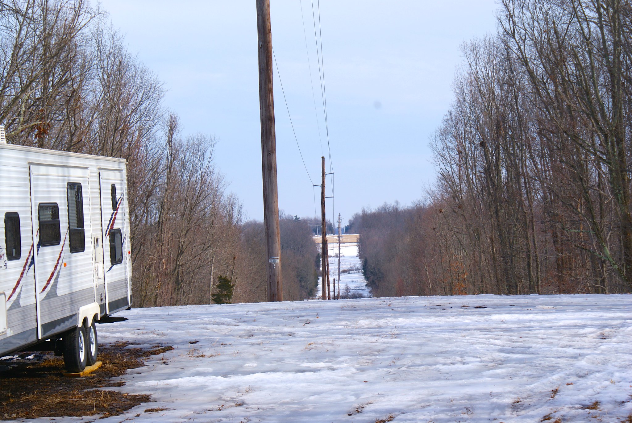
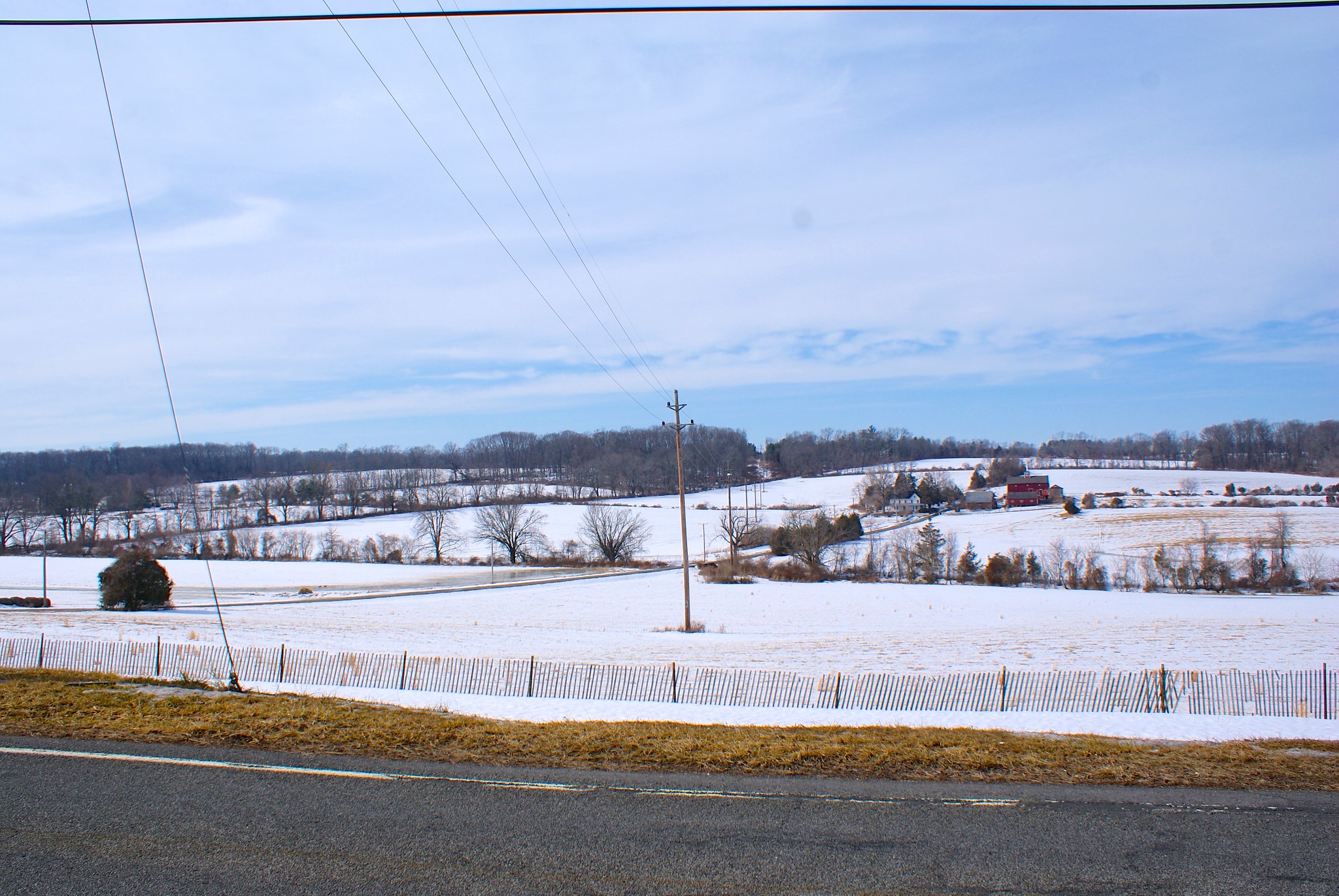
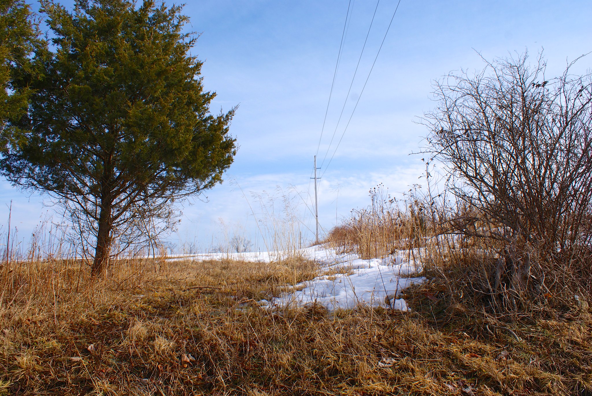
Spring Hill Road Scenic View
A view from Spring Hill Road to the North West. I included these shots as a far reaching view of the country the pipeline is going through.

Spring Hill Road Scenic view closeup
A closeup view of the previous shot.

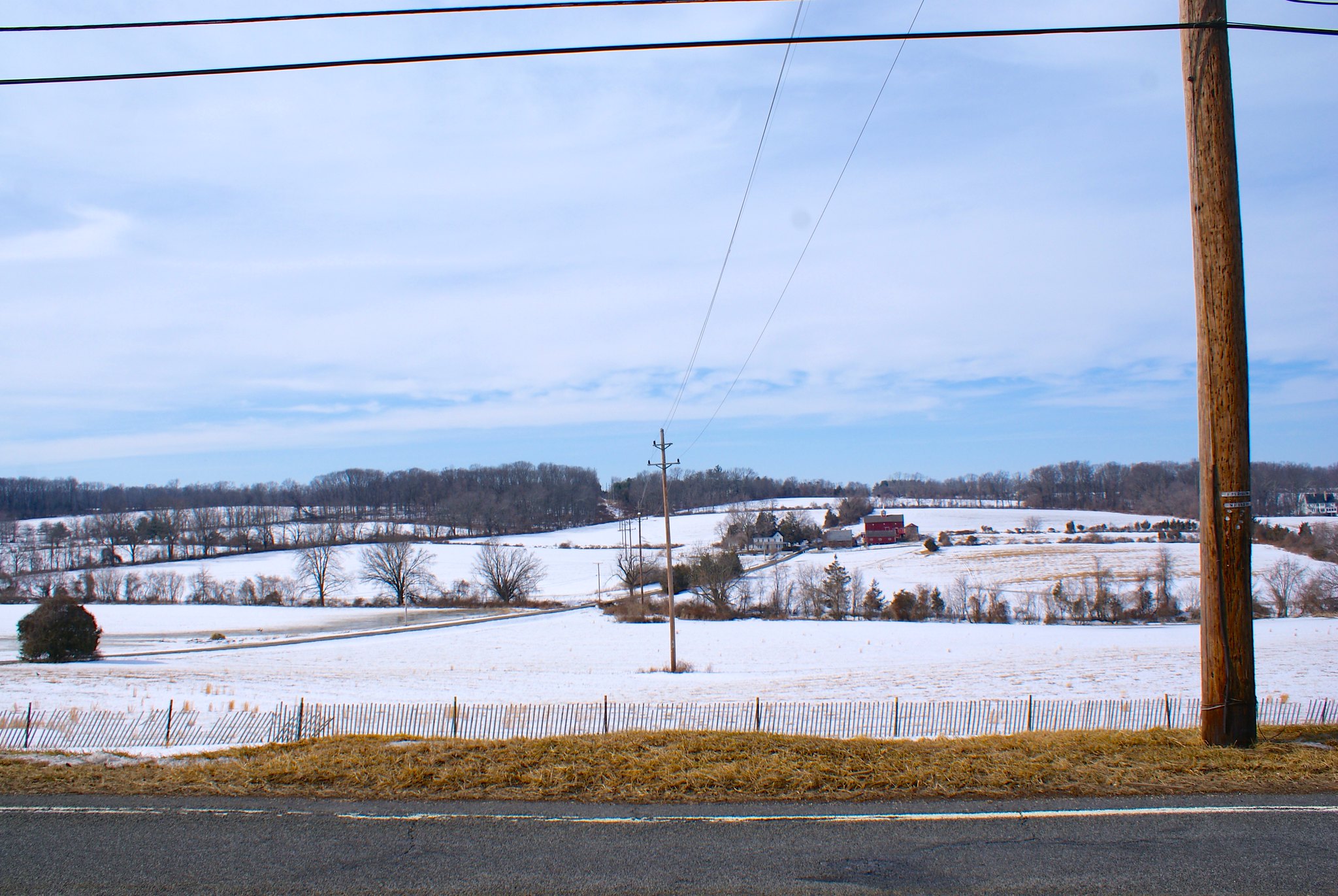
Spring Hill Road Scenic Rolling Mountains
A closeup on the mountains in the distance.

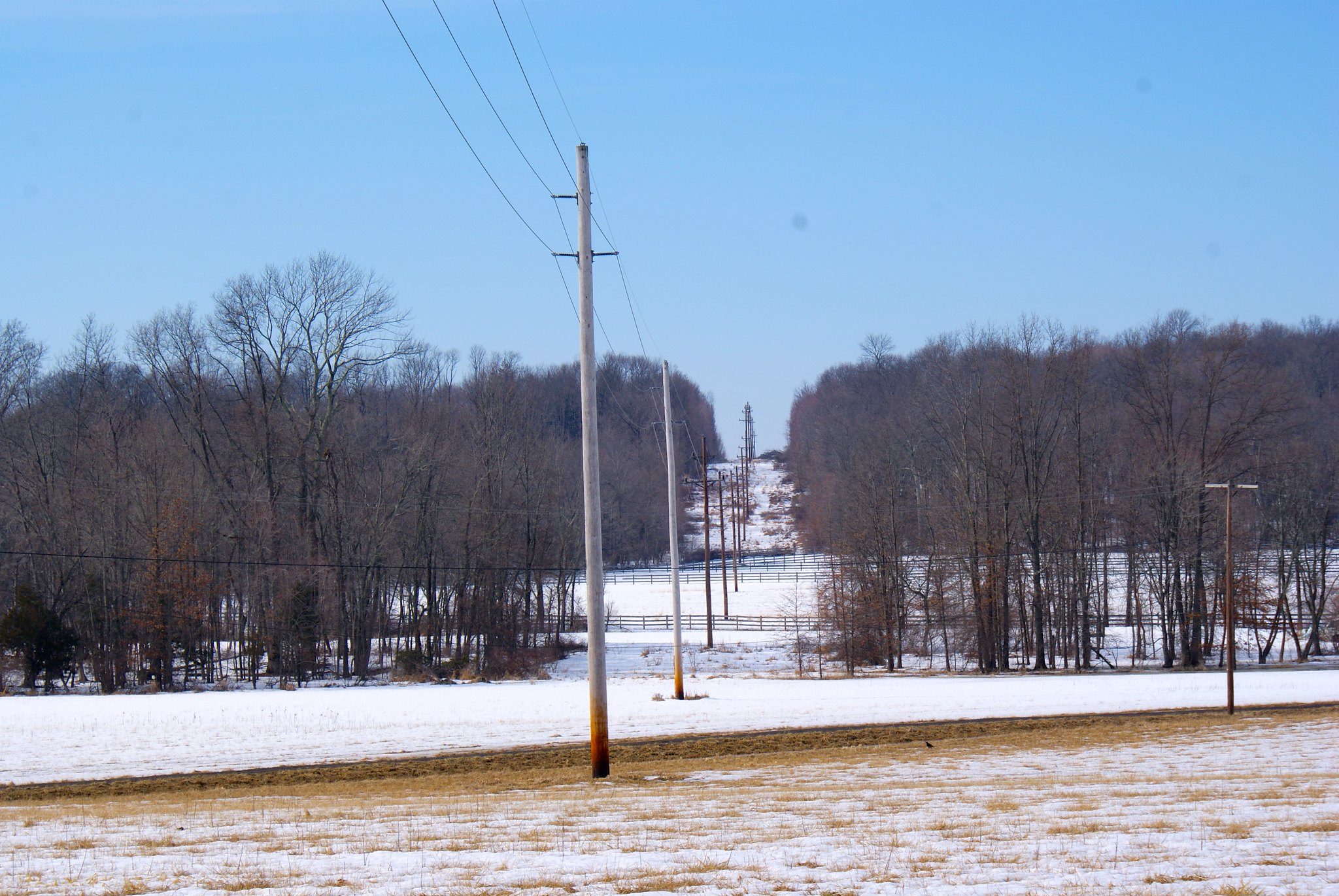
Spring Hill Road View to the North
A view more to the North rom Spring Hill Road.

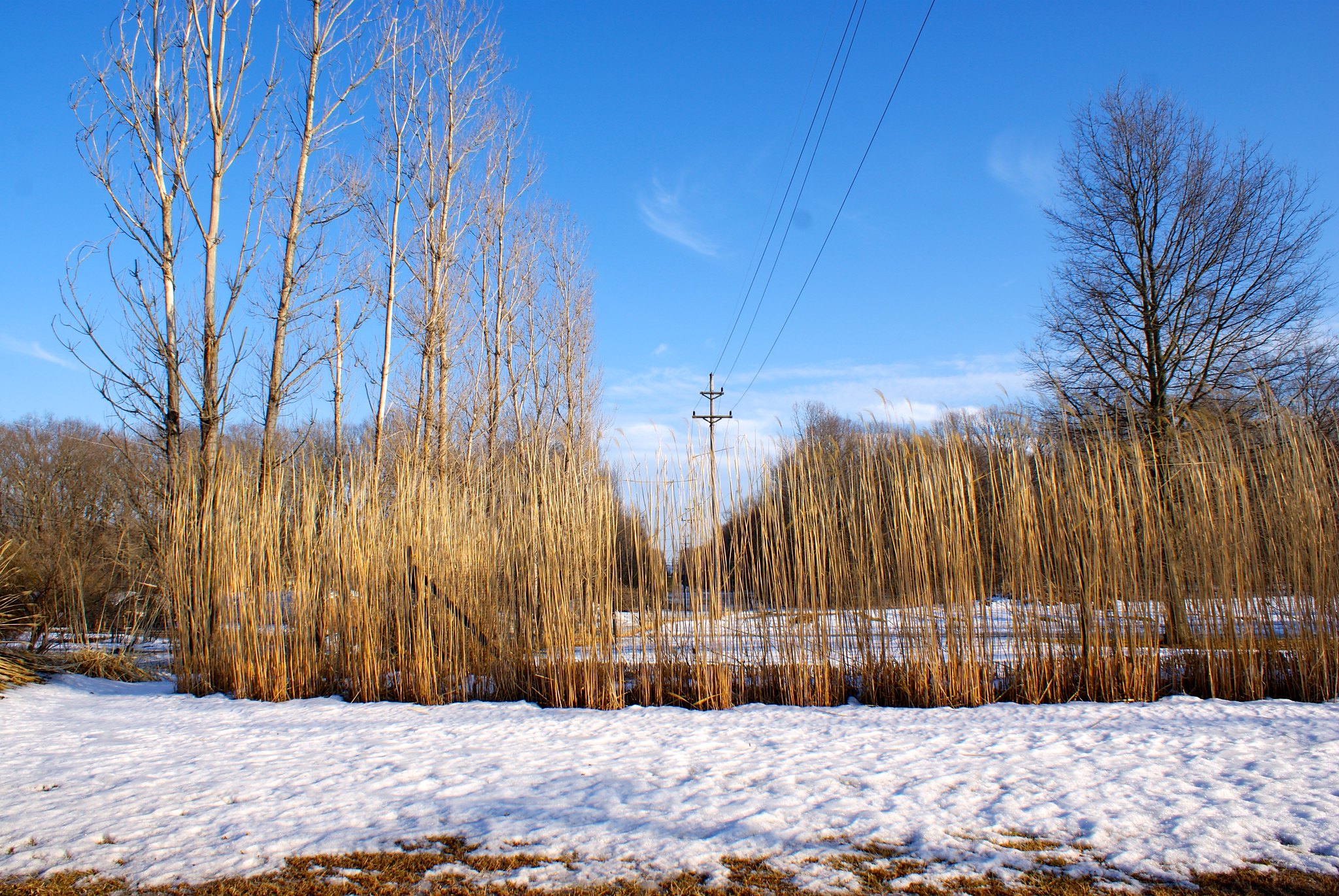
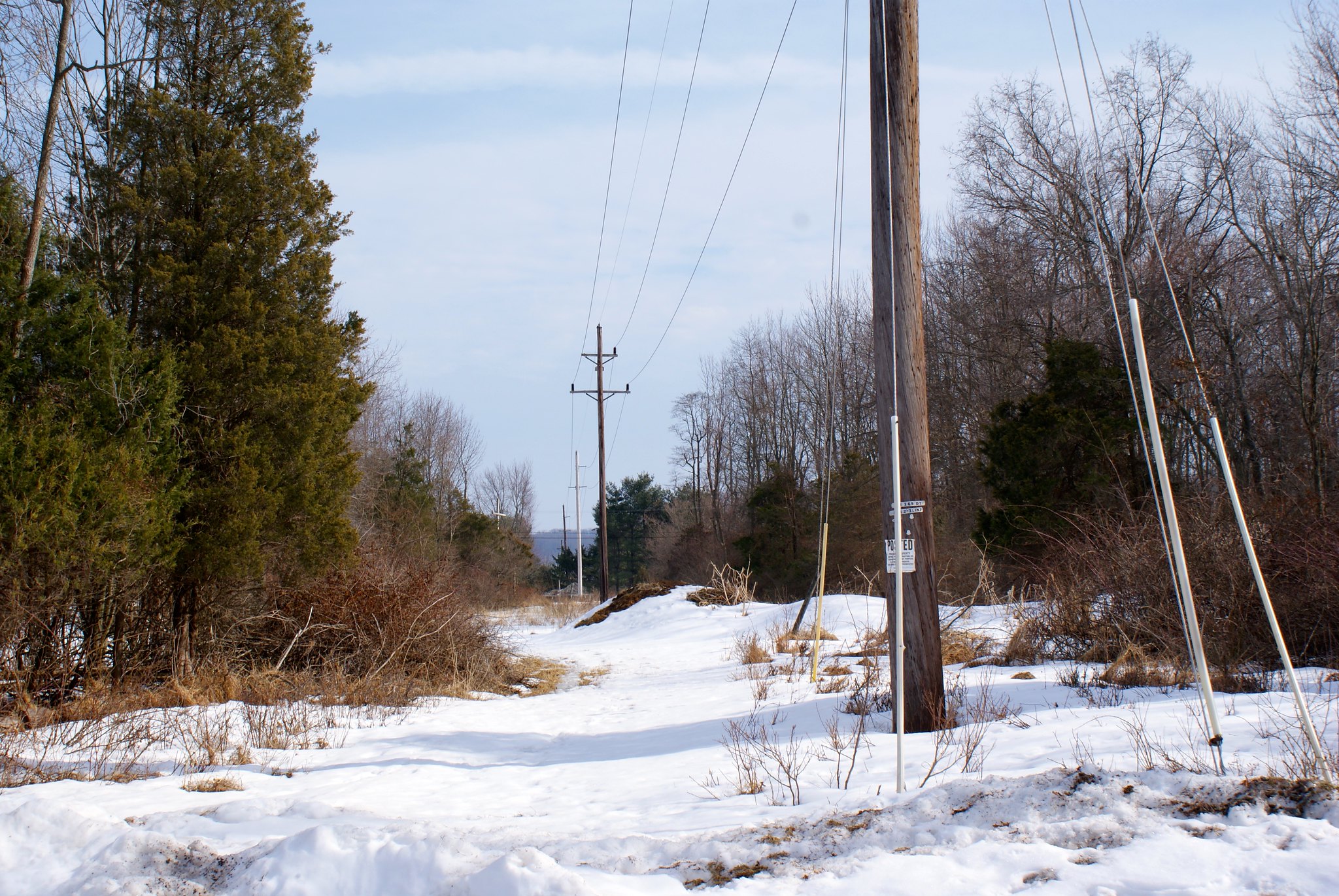
Spring Hill Road Copper Creek Preserve
Down the road from the scenic view is an entry way into the Copper Creek Preserve. This preserve is part of the larger Horseshoe Bend Preserve, 477 acres of preserved land in the bluffs overlooking the Delaware River. The preserve took 10 years of negotiation to put together and is owned by Kingwood Township and is a true treasure in Hunterdon County. My wife and I regularly take our dogs to a dog run they’ve created on Horseshoe Bend road; it’s a 6 acre completely fenced in field where dogs can run free off of leases without worrying they’ll run away or get into trouble.
The pipeline is slated to go through the middle of the entire length of the preserve and cross all of its major streams, including Copper Creek.

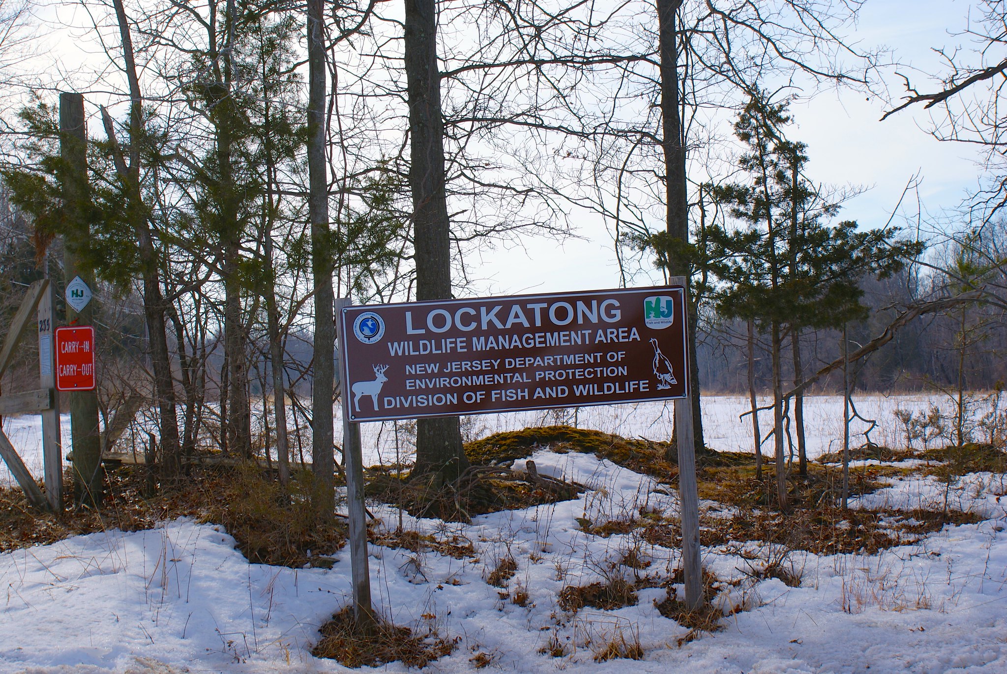
Spring Hill Road Copper Creek Preserve sign
Here’s the electric company easement and a Copper Creek Preserve sign next to it. In a cruel twist of irony the pipeline route is probably going right through where the sign is today.

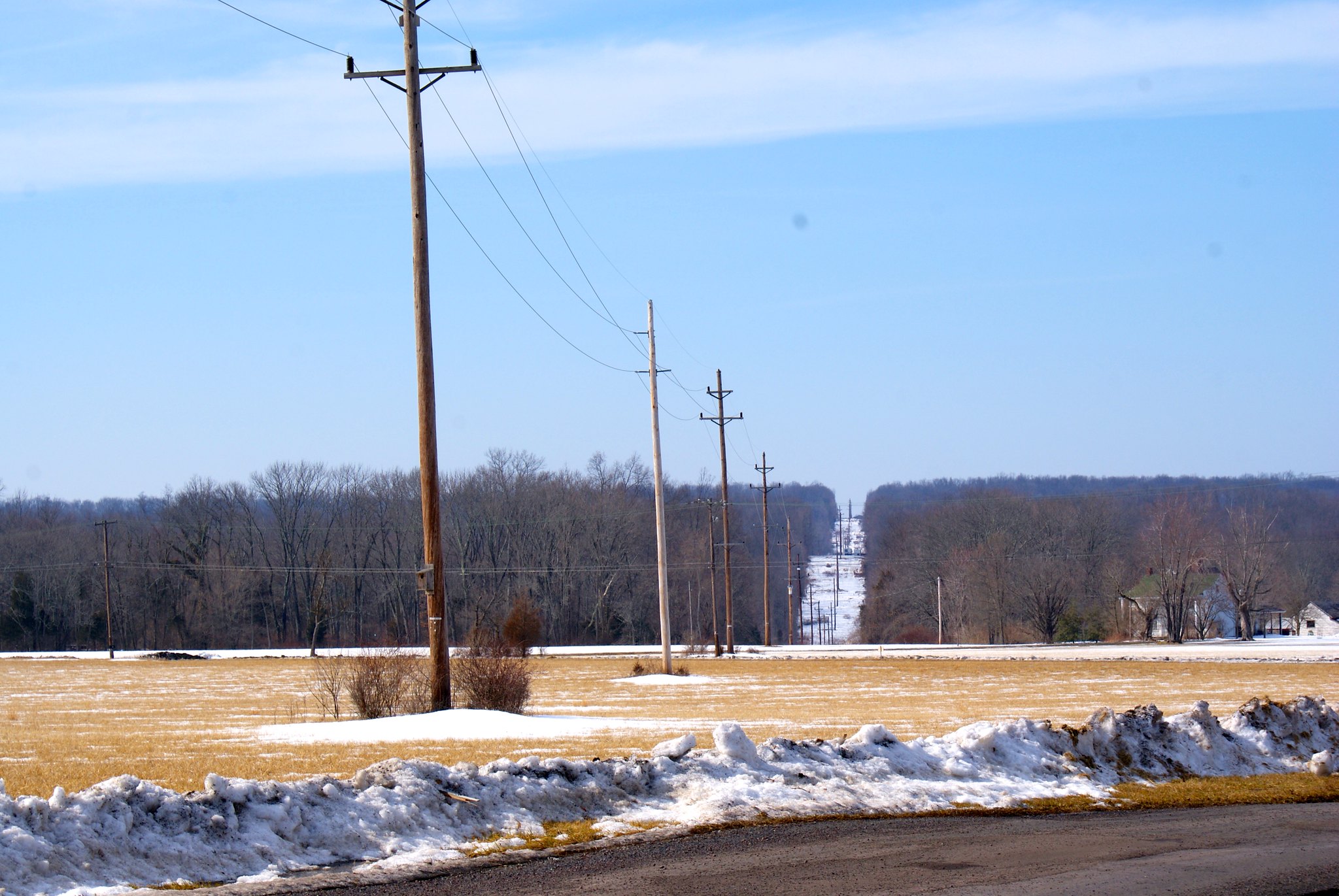
Spring Hill Road Copper Creek Preserve looking north
Looking north along the cut. Another narrow zone that will most likely need to be widened by PennEast.

Spring Hill Road looking north closeup
A closeup of the previous shot.

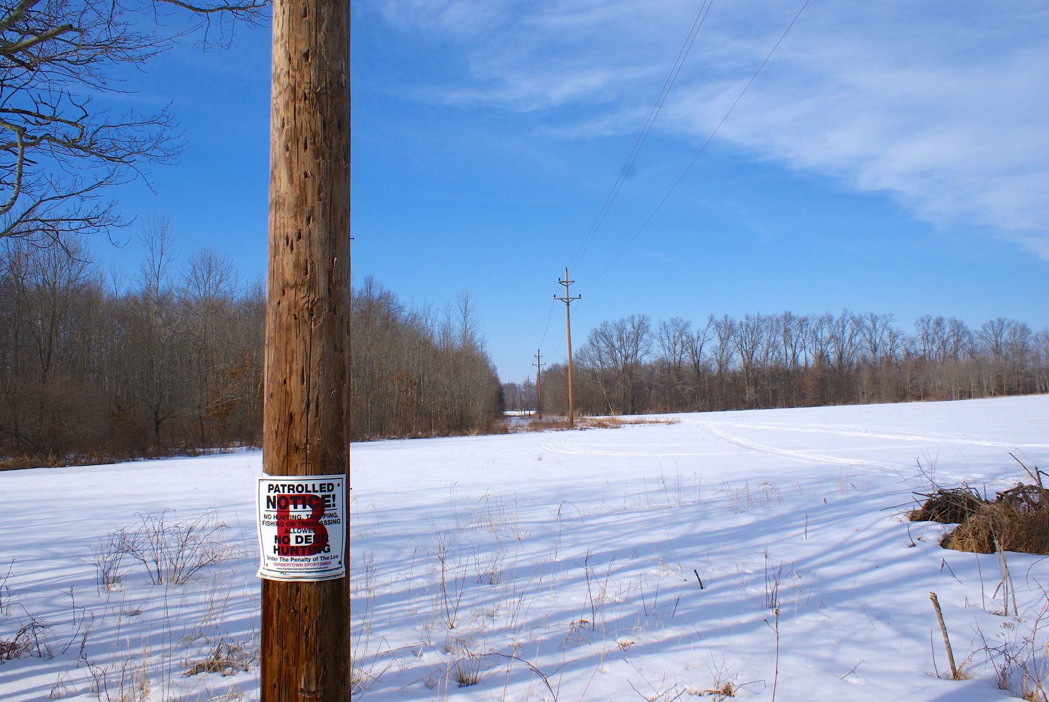
Spring Hill Road looking South
Looking south from Spring Hill Road. The cut looks even narrower on this side.

Spring Hill Road looking South widen angle
A wider angle of the previous shot.

Spring Hill Road Green acres sign
A green acres sign just west of the pipeline route. I guess we’ll have to change the text from:
“This privately owned land is dedicated to public recreation and/or conservation purposes”
to:
“This privately owned land is dedicated to public recreation and/or conservation purposes and/or energy company profits”.

Horseshoe Bend Road, The Farm
On Horsehoe Bend Road is a site labelled simply “The Farm”. I googled this a year ago and I forgot the story behind it, and I can’t seem to find it now. I feel like it might’ve been a religious organization or something that owns the land. The pipeline will be running right through their property and is where it will cross Copper Creek.

Horseshoe Bend Road, The Farm and Copper Creek
Picture of Copper Creek running along The Farm’s driveway. The Pipeline will cut across both the driveway and the creek.

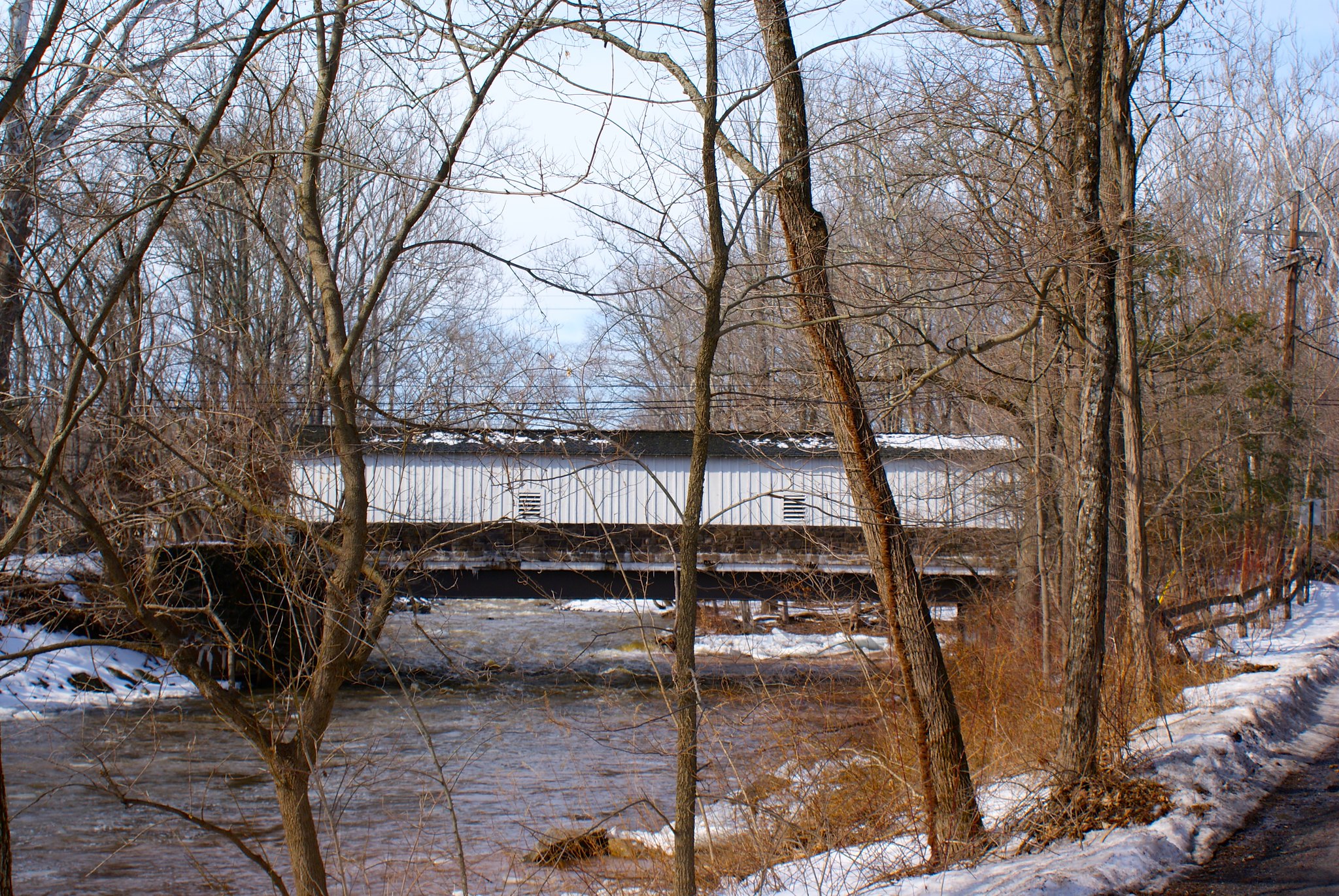
Horseshoe Bend Road, Copper River bridge
Stone bridge over the Copper Creek. This shows how strong the current can be during times of snow melt and heavy rain.

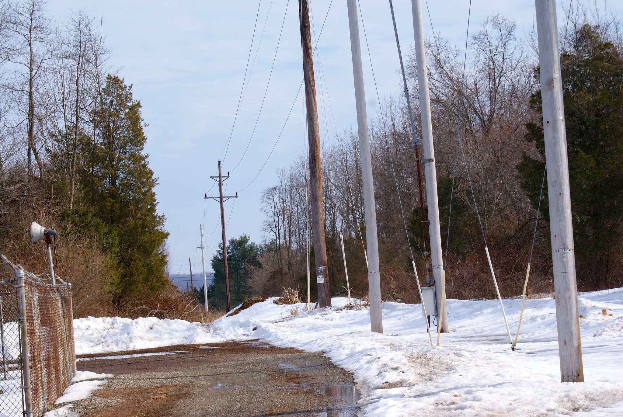
Ridge Road clearing
Over on Ridge Road in Frenchtown, NJ the pipeline veers away from existing easements and beats a virgin path through the land. Here we’re looking South East from the road.

Ridge Road clearning, Ridge Road Farmer’s Club
Apparently the Ridge Road Farmer’s Club owns this land. Let’s hope they keep PennEast out.

Creek Road, no dumping!
Creek Road in Frenchtown is, frankly, a terror. It’s dirt at the best times, and pure mud when I went over it. It’s barely wide enough for my pickup truck. To the left is a steep drop of at least 20 feet down into Nishisakawick Creek. To the right is a steep hill going up the mountain. The road curves constantly and is simply scary as hell to drive on. Apparently it serves only two houses, then turns into a state park following the Creek. I’m guessing it’s mostly for fishermen but not sure. The DEP says the creek is home to 20 different species of fish. As you can see the town is worried about illegal dumpers polluting the creek. Let’s hope they arrest and fine PennEast when they try to bring their pipeline through!

Creek Road, no dumping really!
They really, really want to remind you that dumping is illegal here.

Creek Road, diabase at surface
This was right up to and next to the road. It’s diabase bedrock, as you can see it’s bare on the surface here. It’s very tough and PennEast will have to blast to get down to 8′. And they’ll be blasting right next to a protected creek.

Creek Road, creek crossing point looking North West
This is where the pipeline route goes across the creek. The steep on the far end is incredibly steep.

Creek Road Creek Crossing Point Looking South East
Holy crap, look South East and the slope is even steeper! PennEast is gonna dig an 8′ trench in that!? And this is all virgin clear cut, bisecting the creek park land.

Creek Road wide view to north west
A wider angle view of crossing to the north west.

Creek Road trout stocking sign
A standard trout stocking sign from the Dept of Fisheries and Wildlife.

Creek Road state park sign
State park warning sign. They need to add “no massive heavy construction and blasting” to the list.

Creek Road tributary
A small stream that feeds into the creek. You can see how close to the surface the diabase rock is here, that’s what forms the stream bed.

Creek Road Creek view
A view of the creek from inside my truck. The road was so narrow I didn’t want to get out here!