
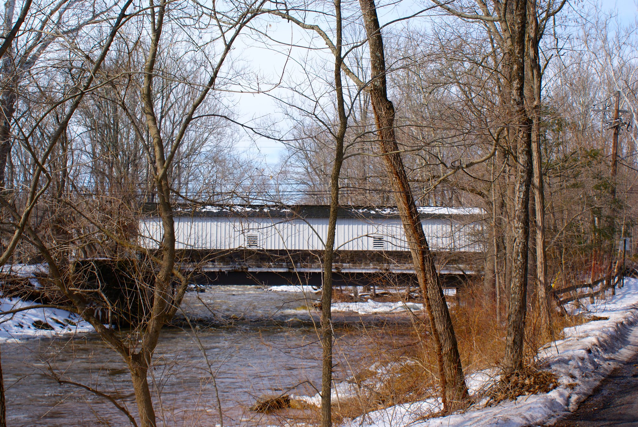
Part 8 starts in Delaware Township but quickly takes us into Kingwood Township, NJ. This is very hilly terrain with many, many creeks and a very rural character. It’s also home to the last covered bridge left in New Jersey.
The Last Covered Bridge
The pipeline route is less than a mile from the last covered bridge in existence in New Jersey, the Green Sergeant Covered Bridge.
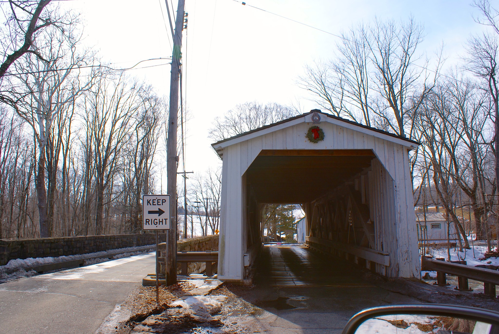
The Last Covered Bridge head-on
A head on shot of the bridge.
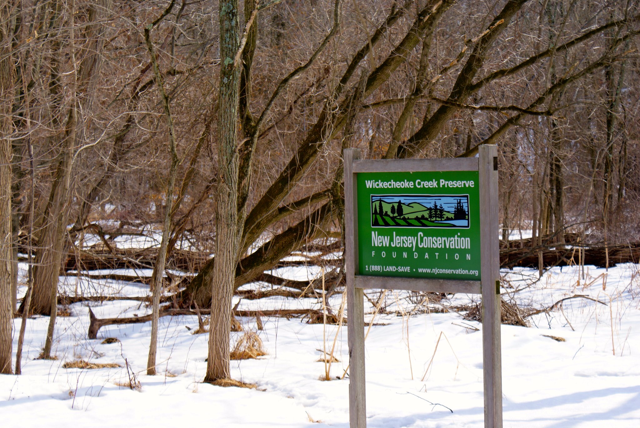
Lower Creek Road Wickecheoke Preserve Sign
A sign showing the Wichecheoke Preserve I had mentioned in a previous post.
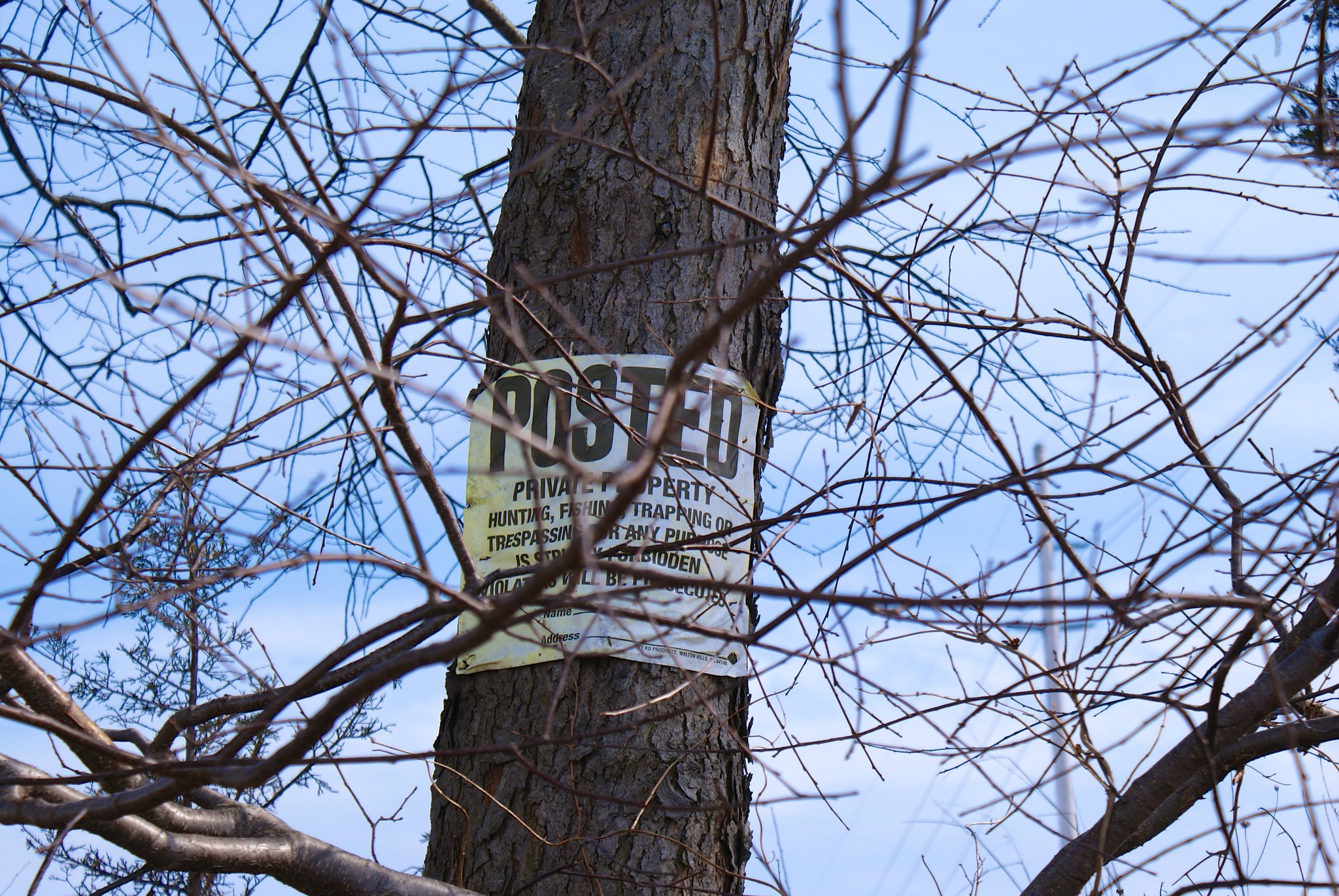
Rosemont Ringoe’s Road Posted
Posted on Rosemont Ringoe’s road. Apparently this road has two concatenated names but I’m just going to stick with this one to save my fingers typing.
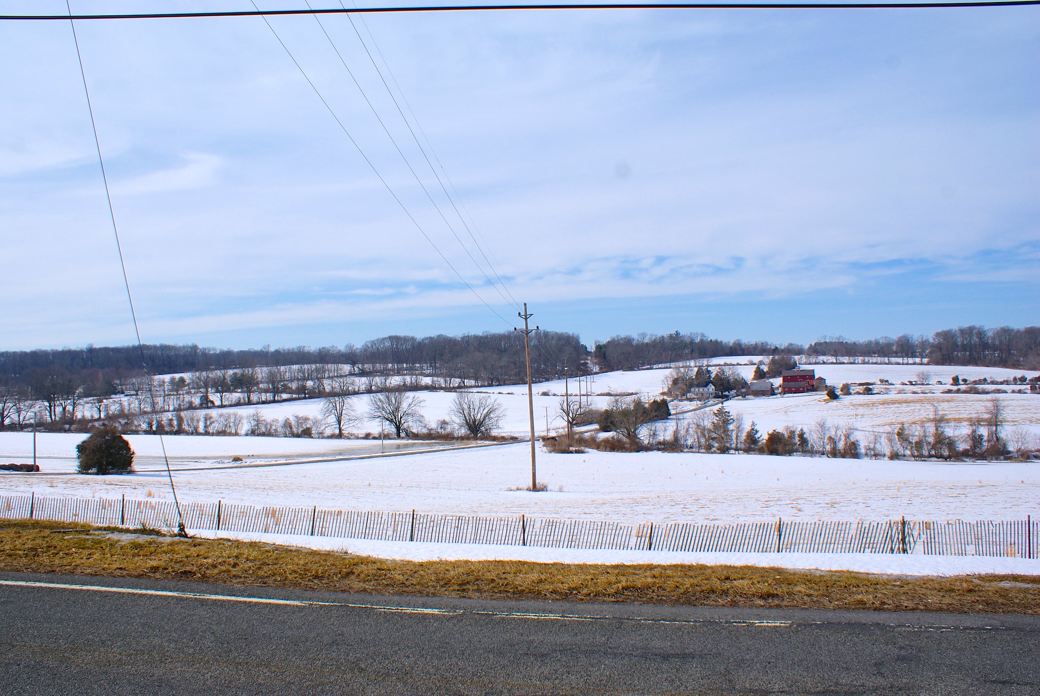
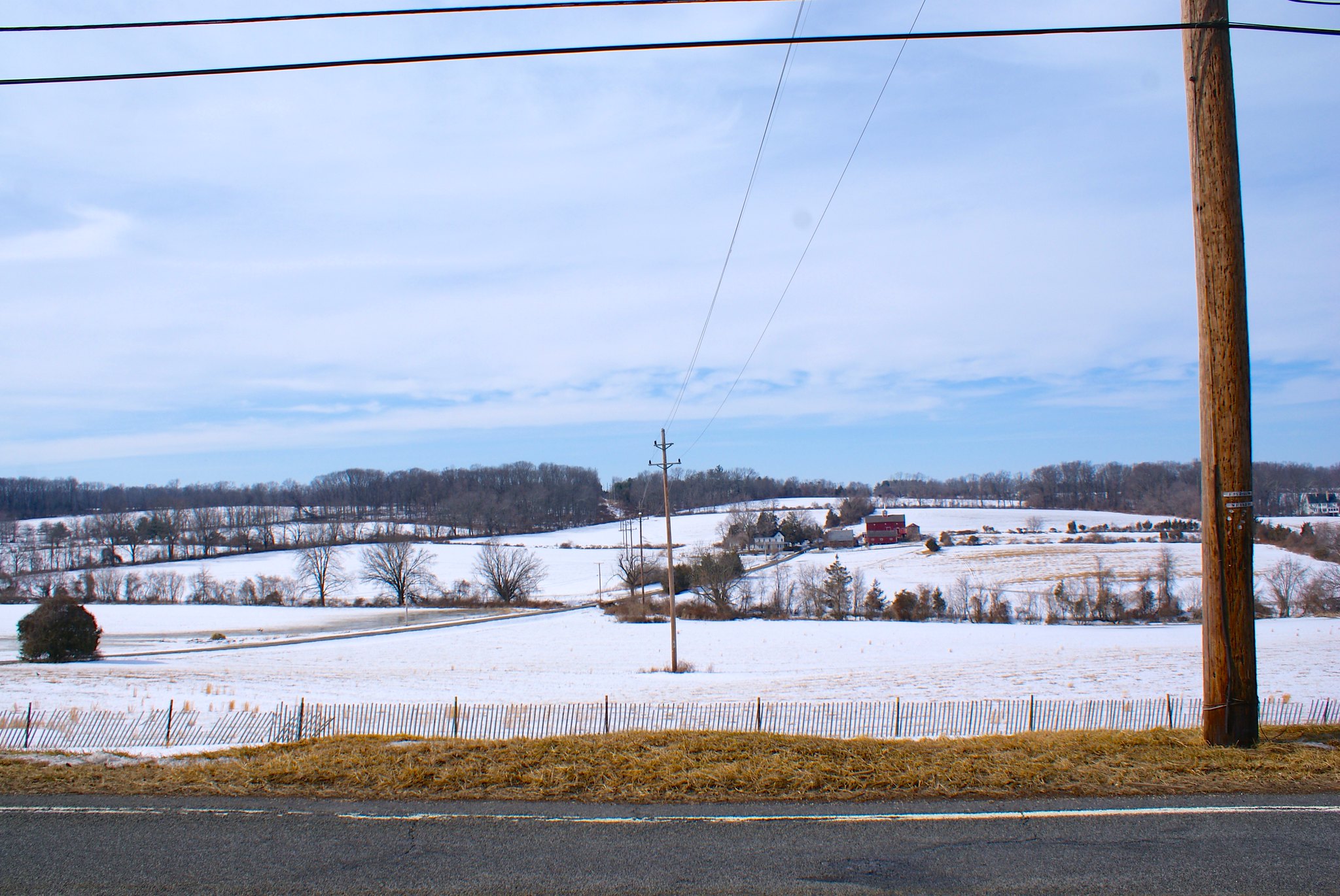
Rosemont Ringoe’s Road Farm
The PennEast pipeline is routed to cut this farm in half, including cutting across the farm house driveway. The pipeline route will be next to the electrical poles.
Rosemont Ringoe’s Road View South
The view to the south from Rosemont Ringoe’s Road. A bit steep.
Rosemont Ringoe’s Road alternate farm view
An alternate view of the farm. This is looking to the north from the road.
Rosemont Ringoe’s Road side view of farm
A side view showing clearly how the pipeline route will cut their driveway in half along the electric easement.

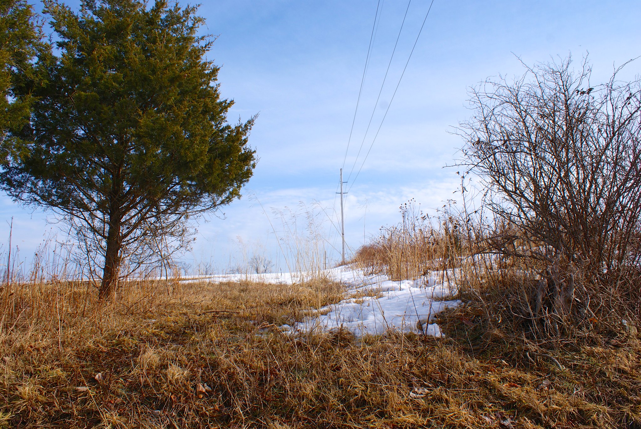
Sanford Road horse rider sign
There are many, many horse farms in Delaware Township and Kingwood. One of the FERC submissions mentions it in detail. I wonder how the horses in the area are going to react to construction crews blasting down through the diabase bedrock for this pipeline?

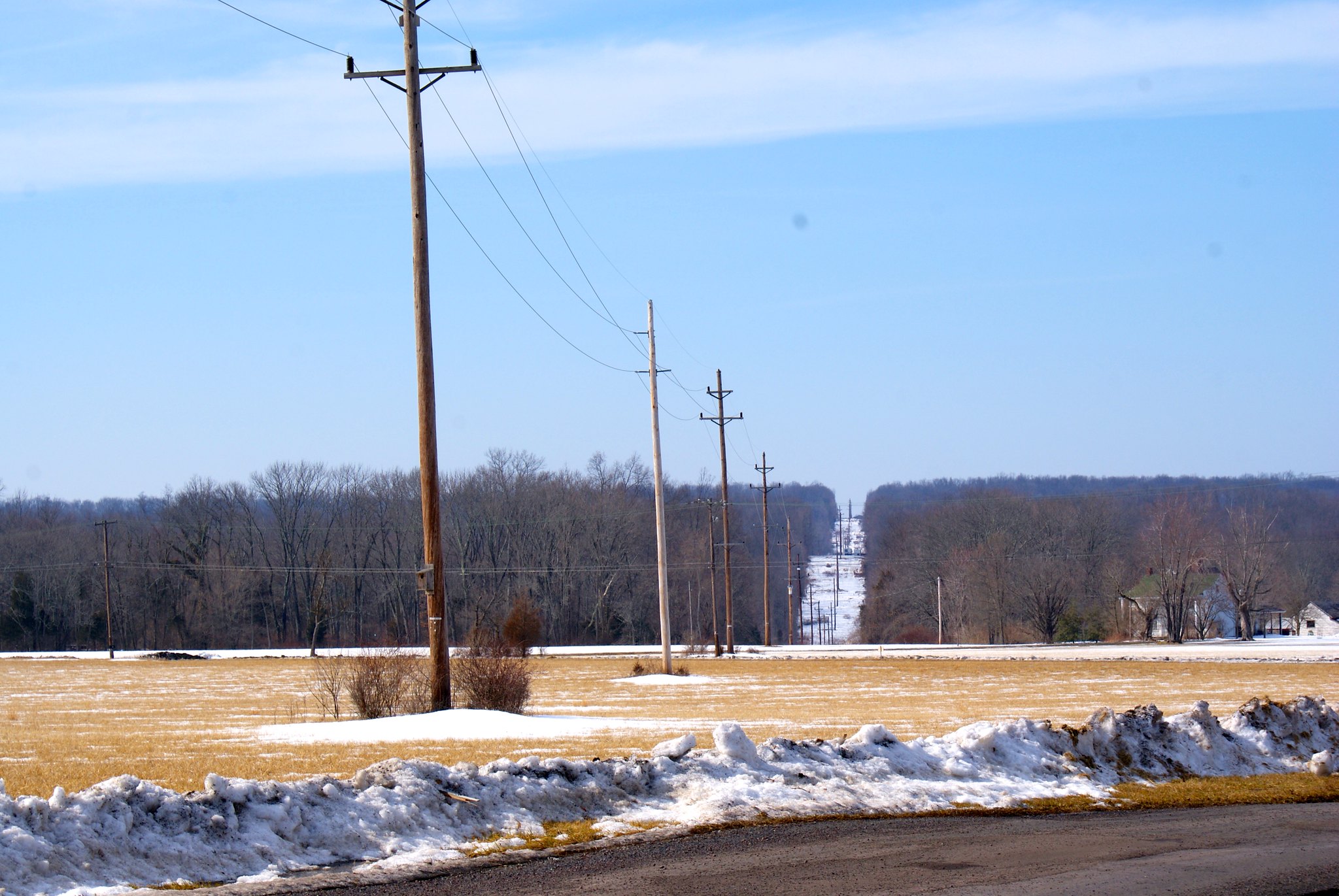
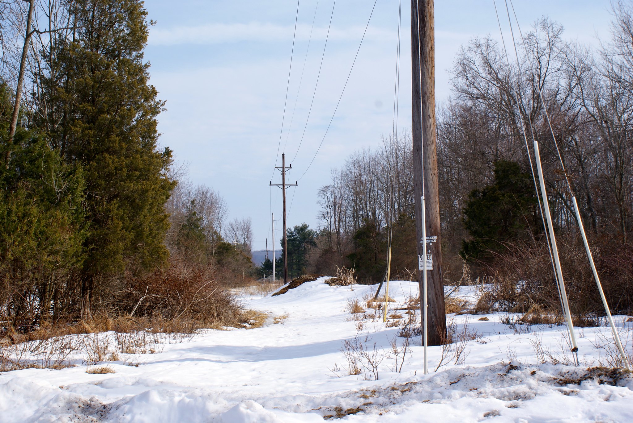
Sanford Road view north
A view of the route from Sanford road to the north. More hills.
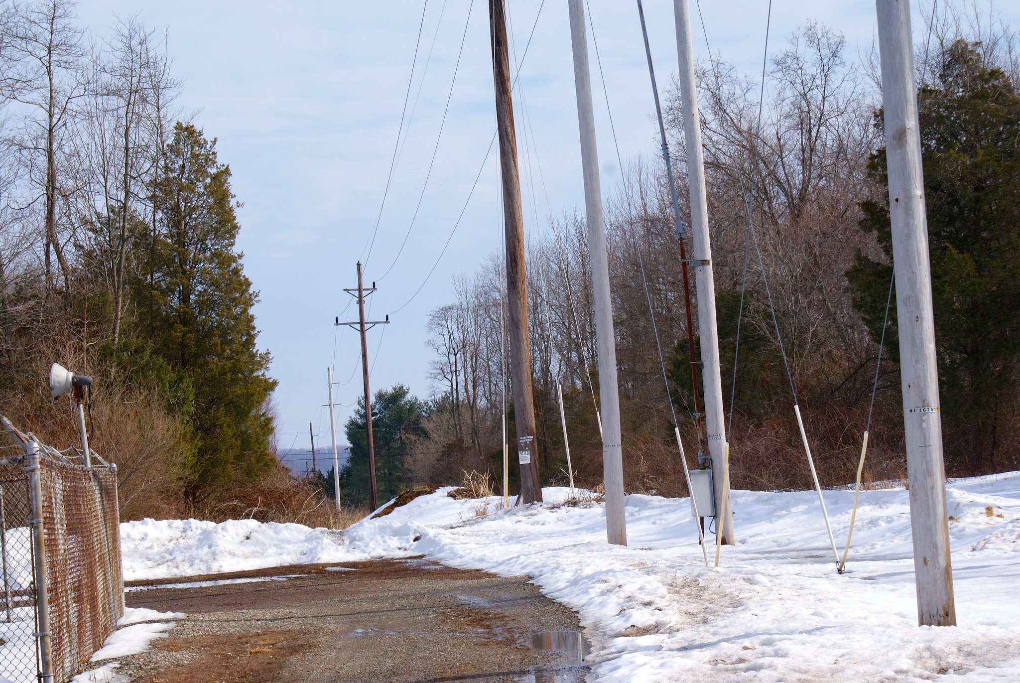
Sanford road view south
A view south from Sanford road. There’s an electric substation here and the cut is very narrow.
Sanford Road view south zoomed
A zoomed in version of the previous shot.
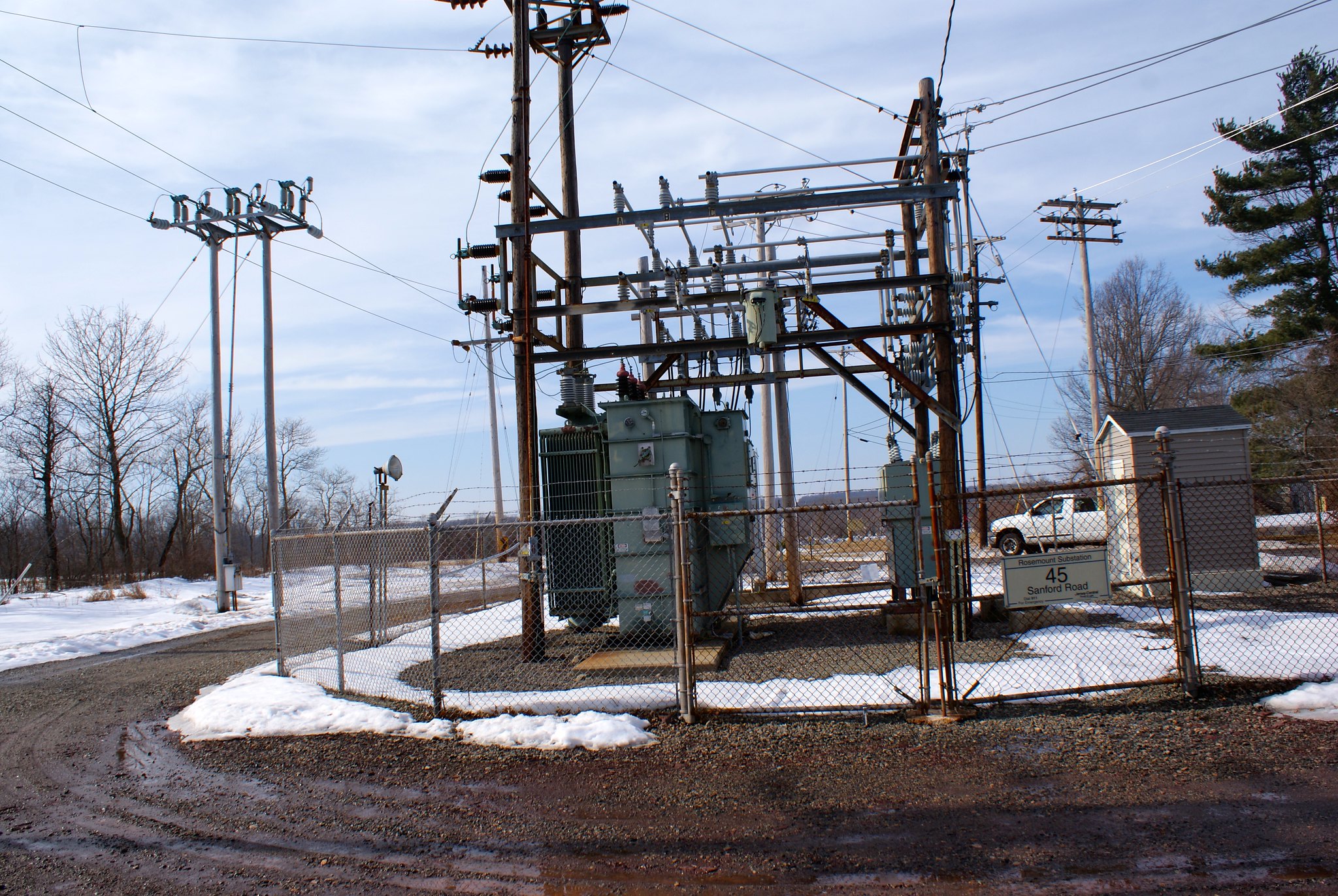
Sanford road electrical station
Shot of the sub-station taken from the pipeline line.
Sanford road zoomed shot north
A zoom into the north.

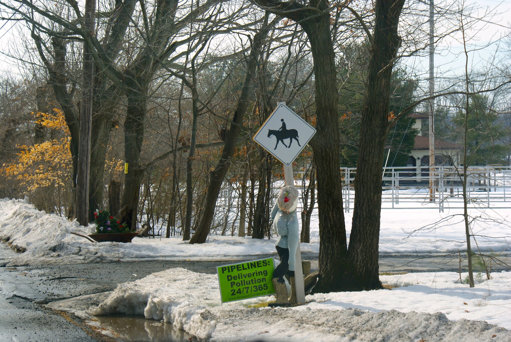
Sanford road protest sign
A creative protest presentation.

You need to compress your images so they load faster.
LikeLike
Beautifull photography. Should be in a tourism promotion brochure. NO,NO. No tourists or any more home construction. Leave us alone. We’re here and don’t want anyone else to come That’s what a recent arrival told me. No one wants another neighbor or a pipeline running through their property for a host of reasons. However I undestand that the proposed route will be along existing right of ways that are already a scar across the land. The only thing that will determine if that pipeline is delayed or build is the price of shale gas. Hiring Lawyers will make the lawyers rich, the people poorer but it won’t stop the pipeline; they never do!
LikeLike