
More in Delaware Township NJ.
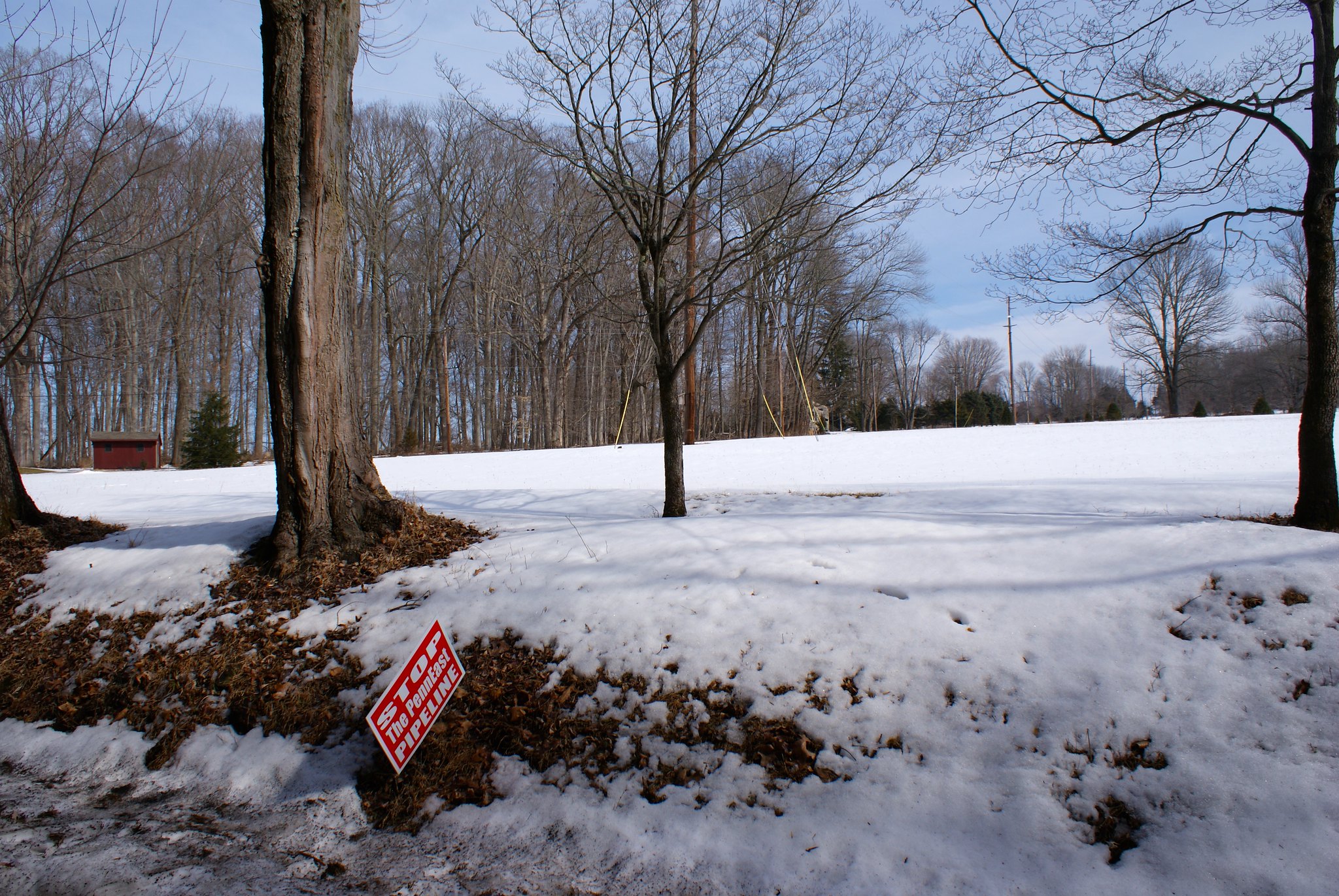
Worman Road
A protest sign along the route at Worman Road.
Worman Road head-on view
A head on view down the pipeline route looking south.

Worman Road to the north
A view of the route to the north. Note the really cool carriage warning sign below the speed limit sign. There are lots of those signs around this area and really shows the ultra-rural character of the region.

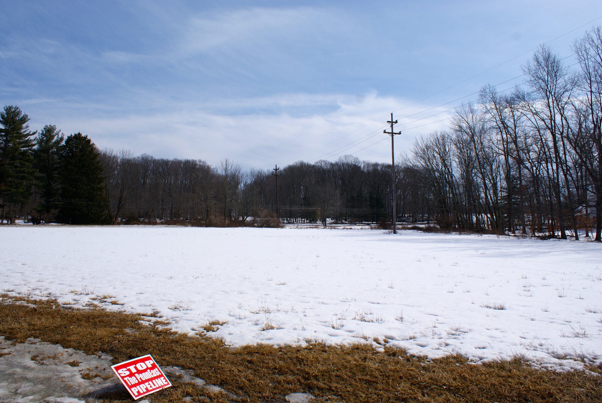
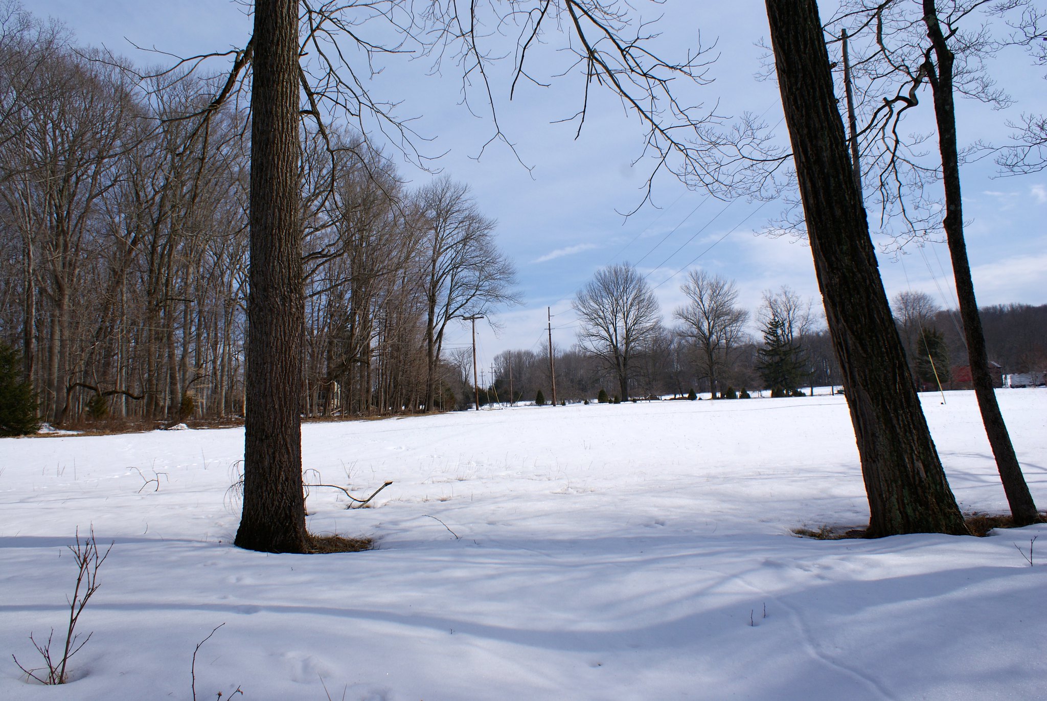
Covered Bridge Road Scenic View
A scenic wide-angle view of the country the pipeline will be going through.

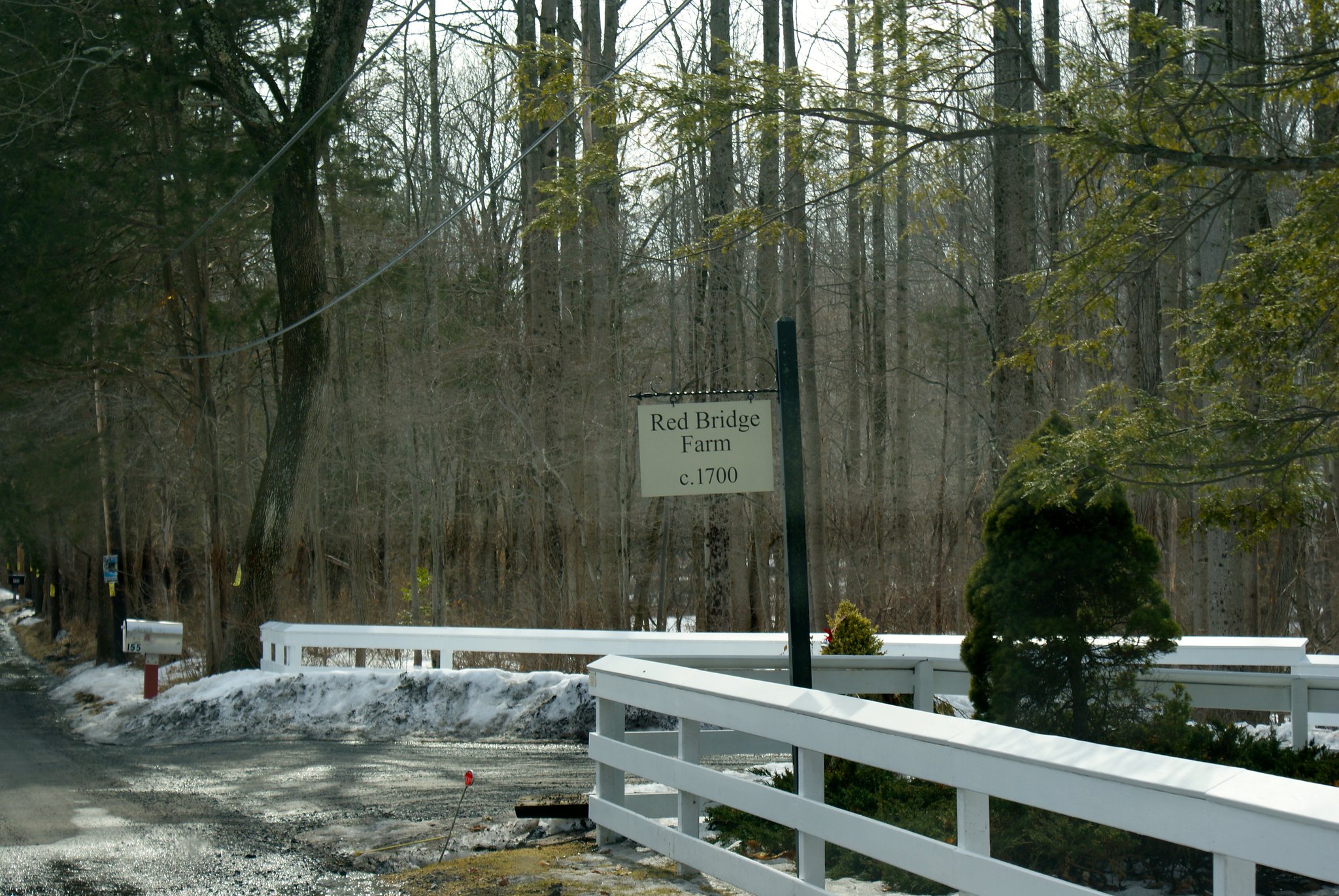
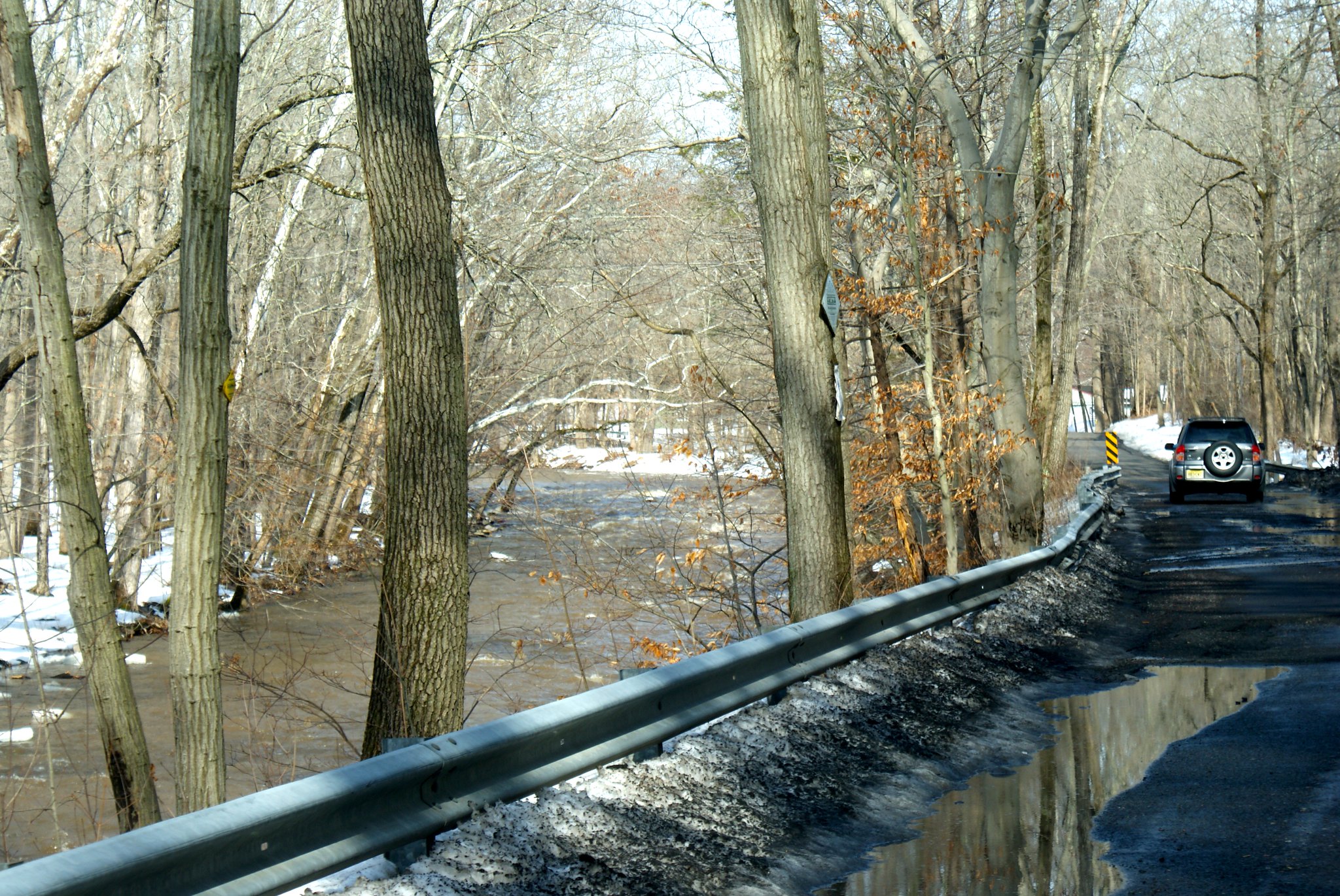
Lower Creek Road Red Bridge Farm
Lower Creek Road is a really cool road. The Wickecheoke Creek runs along side it for a great distance, and it was rough and wild after all the snow melt. This shot is the entrance to the Red Bridge Farm, which appears to have been in operation for over 300 years. The pipeline is cutting the length of their property and also going across the creek.
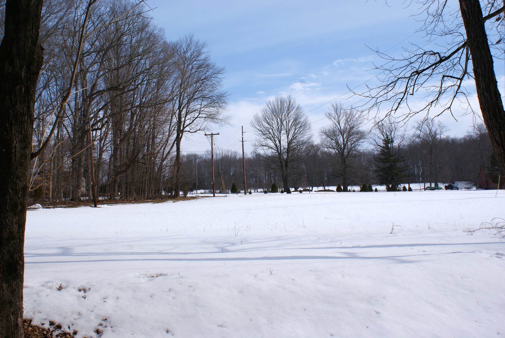
Lower Creek Road view north
There was a big pause in time between the previous shot and this one. First a car was blocking the road for awhile, someone was parked talking to a resident who was on foot. As they went by I saw it was a protest car – the whole vehicle was covered in anti-fracking stickers! I guess they were interviewing people along the route. I then had to turn around, so I turned around in the gentlemen’s driveway. And promptly backed into his mailbox. Twice. Mortified I jumped out and apologized and offered to pay of for it. He refused after several tries but we got to talking a little. He immediately wanted to know if I was pro pipeline or con. He seemed very relieved when I said “con”, and he said I was free to take as many pictures of the land as I wanted, and very pointedly said he wouldn’t let any pipeline people on his land. He went back to clearing out his drainage ditch and I got back to taking pictures.
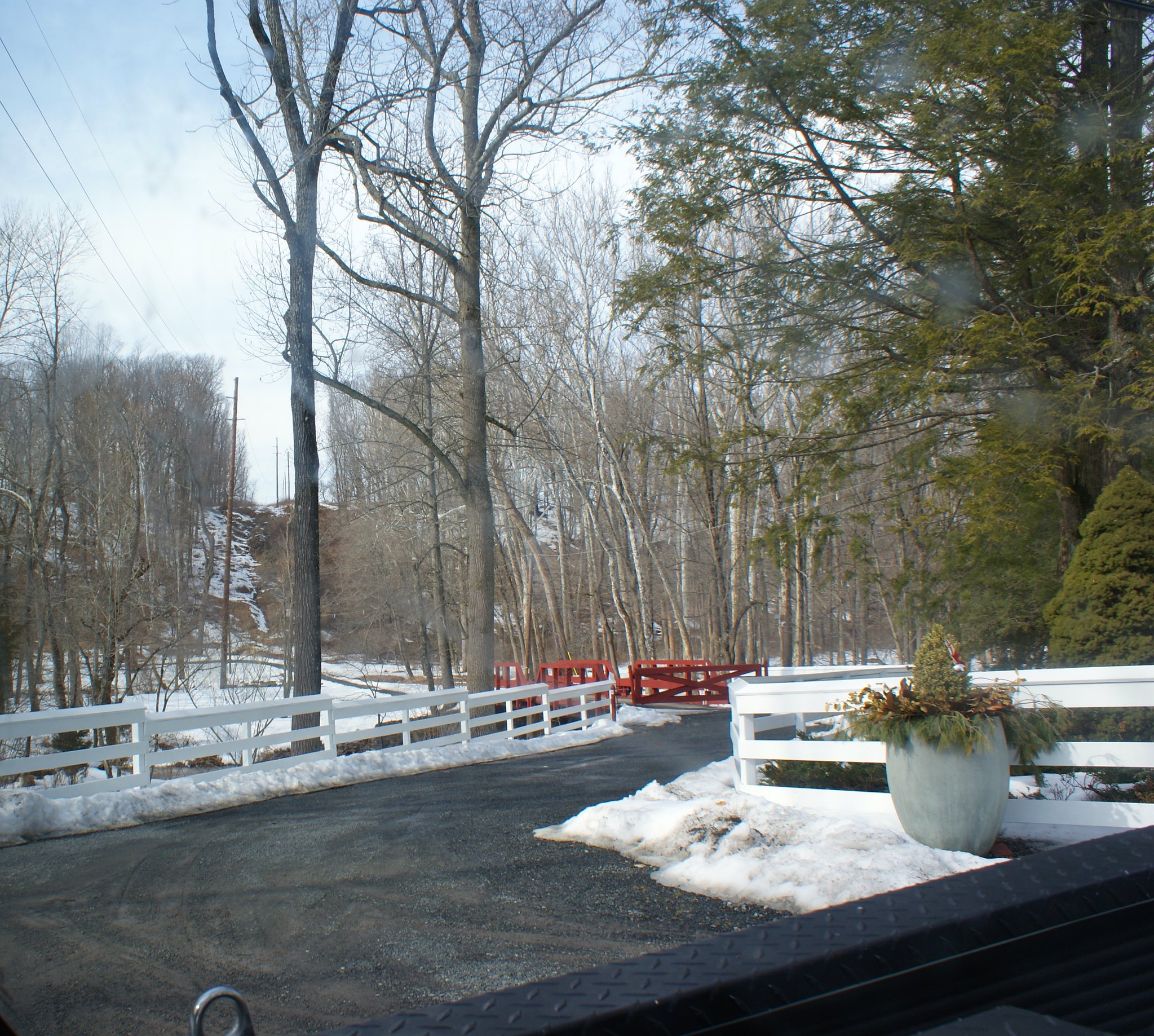
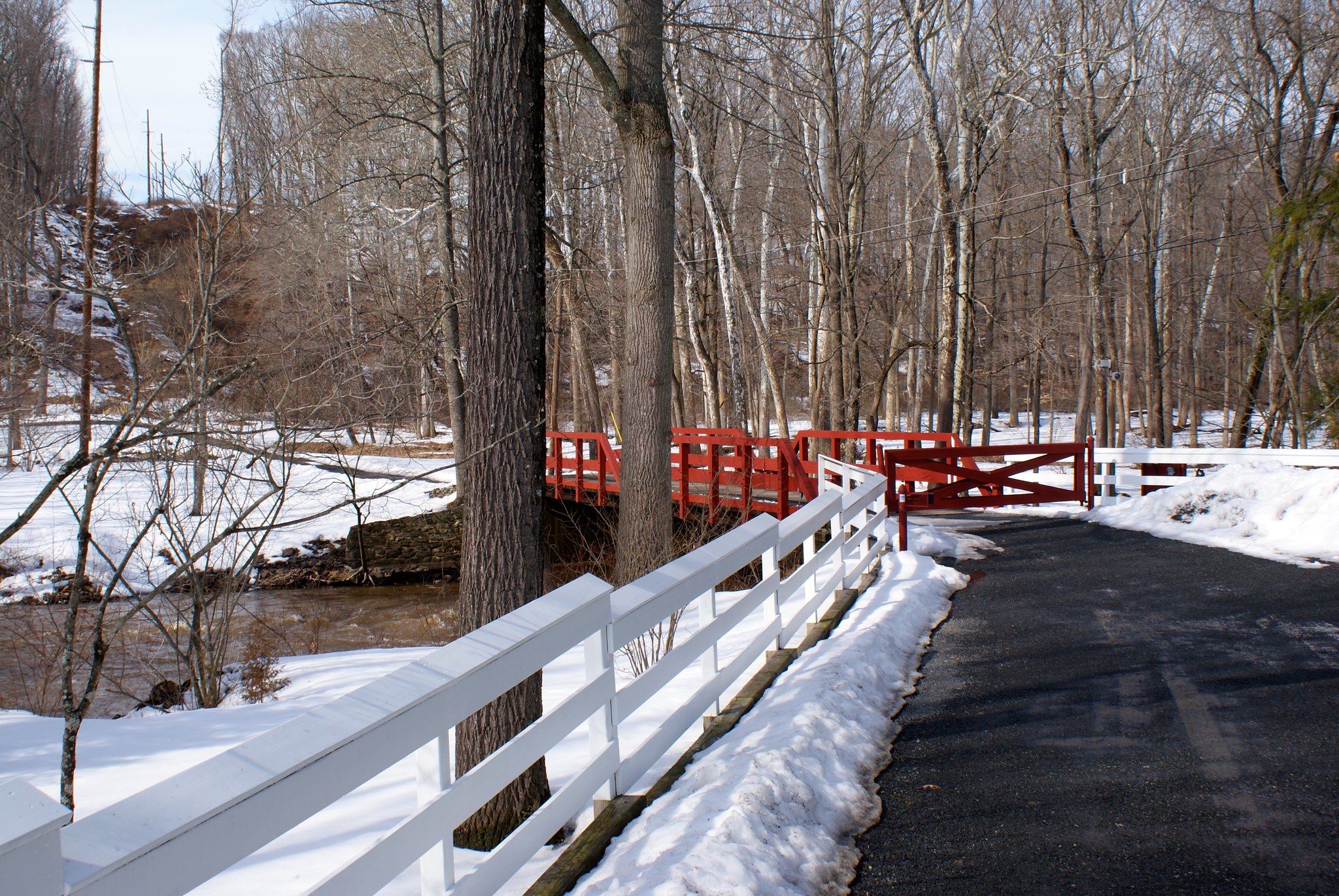
Lower creek road view south across Red Bridge Farm
Here you can see the iconic red bridge of the Red Bridge Farm. And the pipeline route crossing the creek, cutting off their driveway, and then mounting up a very steep ridge.
Lower Creek Road, another view north
Yet another protest sign along the route.
Lower Creek Road, closeup of Red Bridge
A close up of the red bridge and steep ridge with the creek below.
Lower Creek Road north alternate view
An alternate angle looking north.
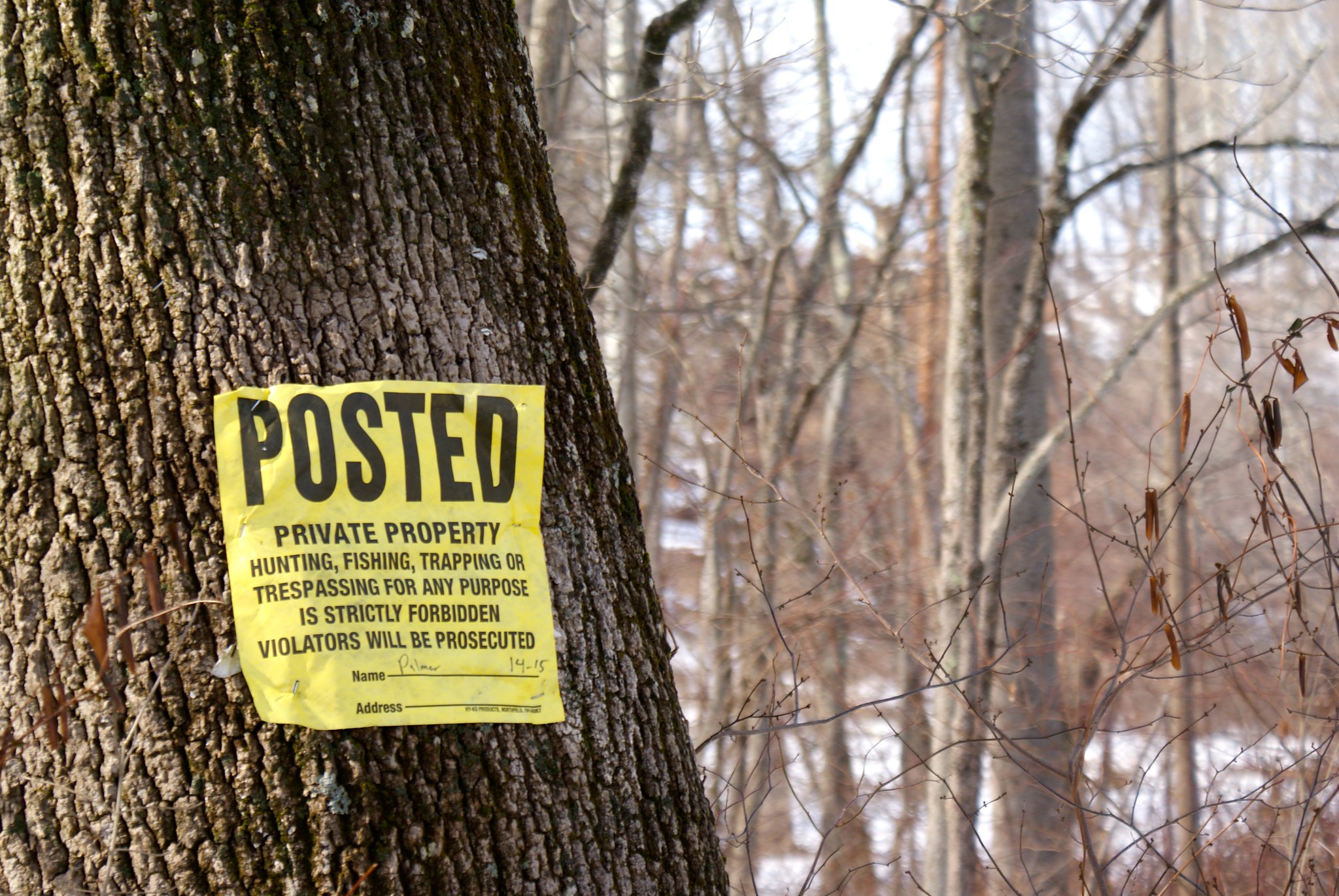
Lower Creek Road Posted
Another Posted sign along the route.
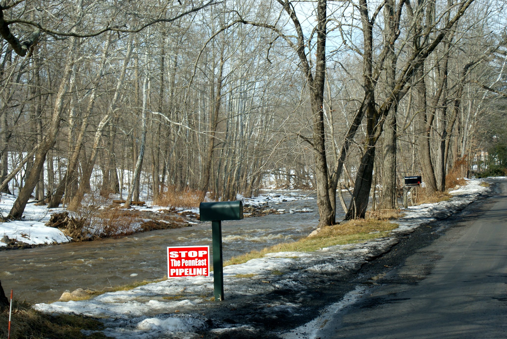
Lower Creek Road Wickecheoke view
The wild and wooly Wickecheoke after snow melt run off. The Creek has a preserve dedicated to it.
Lower Creek Road Wickecheoke protest sign
Another protest sign along the creek. I wonder if this area is prone to flooding…

Published by