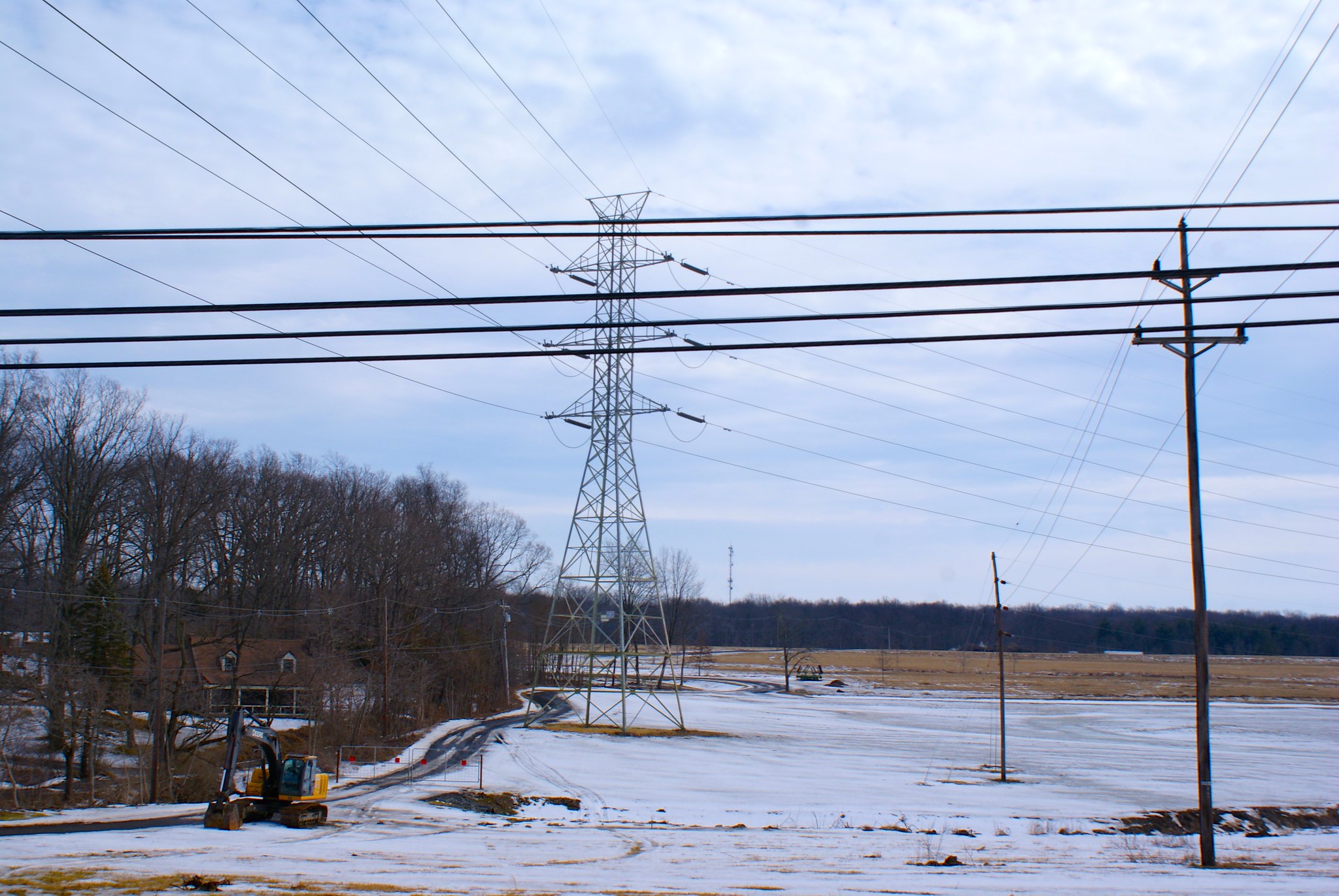
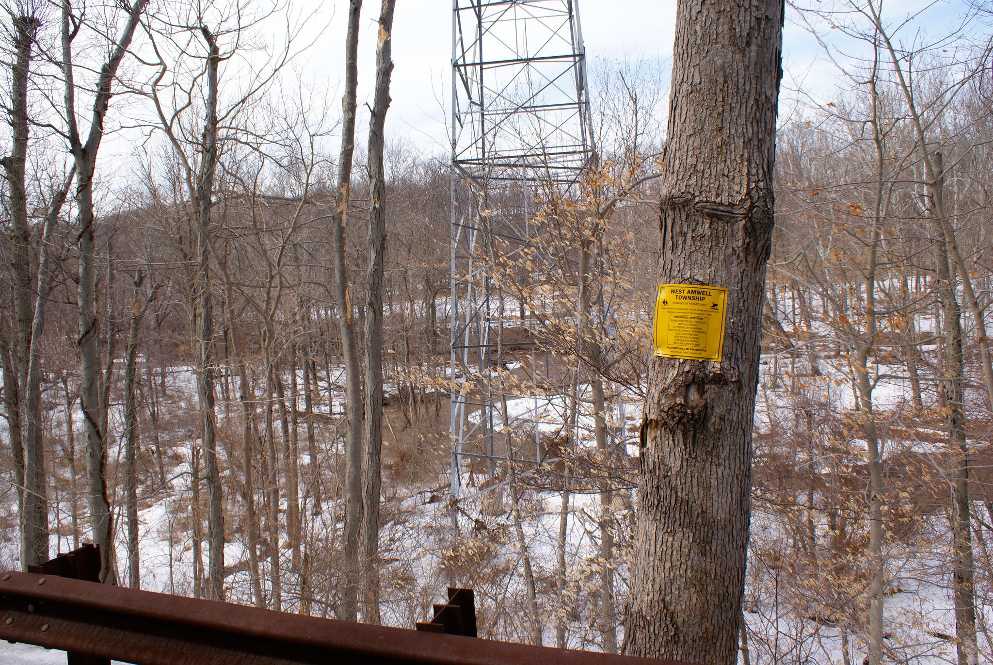
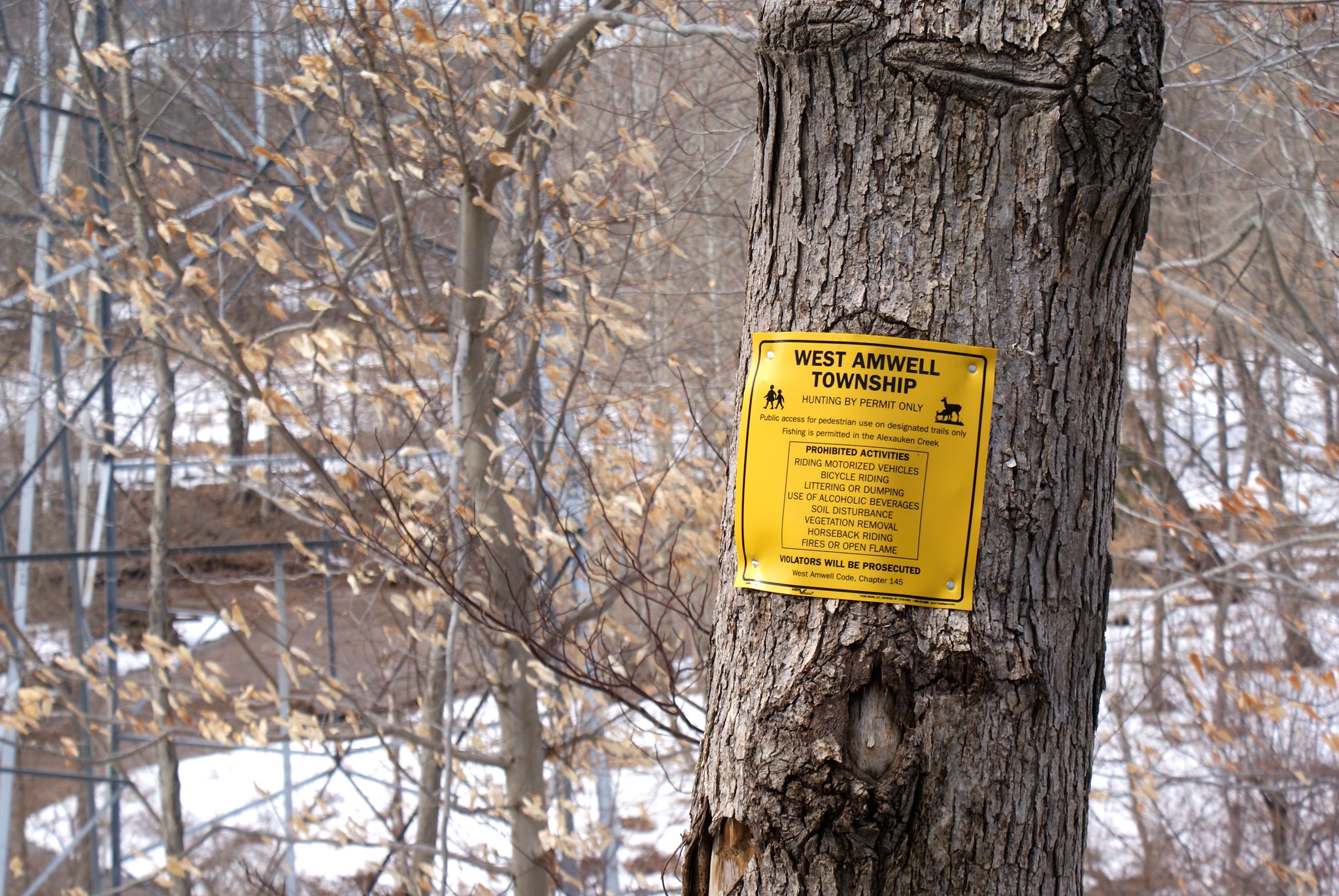
March 30 2015 Route Changes

As some are aware, PennEast changed their route yet again in March 2015. The route is mostly the same but there are a few areas that have significant changes. This post shows the changes in the route between the January 2015 and March 2015. I do this by showing both routes in a Google Earth view. The blue shaded area is the new March route, the pinkish-purple area is the January 2015 route. Both are showing the 400′ survey corridor. The construction corridor will shrink down to 100′ (with many exceptions being bigger!), and the final easement being 50′.

West Amwell, NJ
The only change of note in West Amwell is in the area of Hewitt Road in the southern part of the township.

Here’s an overview of the area surrounding the change. Remember blue is the new route, pinkish is the old one:

This is the so-called Goat Hill area of West Amwell. Lambertville is to the North West, the Mercer County/Huntertdon County line is the near horizontal line near the bottom of the screenshot.

And here is a zoom in of the affected properties. Note that the white lines outline each parcel so you can see exactly where it is relative to property lines:

PennEast said this change was done to avoid a new house that was built a couple of years ago around 38 Hewitt Road. So now instead it includes two new houses in the survey corridor – 30 Hewitt and 32 Hewitt (mine, gulp).

The new route now runs through more historical quarry holes to the north west of Hewitt Road, and also runs into extensive west lands to the SouthEast of my property at 32 Hewitt.

This 3D view shows how much worse this new route is. It now has the pipeline going down a steeper slope. In addition, the yellow lines show where there are extensive wetlands. First there is a shelf that runs parallel to Hewitt Road that the pipeline will cut right across. The pipeline then continues into a lowlands area that is also all wetlands (the yellow-line area that is devoid of trees in the imagery).

Holland/Milford area
The next change is in either Holland Township or Milford (not 100% sure which). This change brings the pipeline route closer to the Milford bluffs, which has gotten quite a few residents in the area up in arms. It also includes the new lateral route to the Gilbert generating station. Here’s the overview:

Here’s a closeup of the route changes going across Spring Garden Road. It’s now going through the property of 100 Spring Garden Road and 163 Spring Garden Road. And as I noted above it’s now closer to the Milford bluffs along the Delaware, a highly sensitive region ecologically.

Curious why they call them the Milford “bluffs”? Here’s why:

The bedrock around here comes right to the edge of the Delaware River and then drops down sheer to the water. They are opening up more virgin forest here right near sheer drops into the Delaware. Erosion concerns are very strong here. This is also in the area of high arsenic concentrations. They’ll be blasting and doing their construction in an arsenic hot spot with runoff right into the Delaware River.

And here is a zoom into the Gilbert lateral. 130 Philip’s Road is going to have a very significant impact from this.

Durham, PA area
Moving over to Pennsylvania there’s a small change near Durham Road. I’m not sure what the purpose of this change was.

Old Orchard, PA vicinity
Just north of the Lehigh River there’s a Lowes shopping center next to route 33. PennEast is still running their pipeline right through the middle of their parking lot, disrupting a number of stores that are there (Lowes, Best Buy, Barnes and Noble, Pier 1, Texas Roadhouse Restaurant).

But now they have changed their route to be much closer to the PennDot facilities to the north of the strip mall. The PennDot buildings now seem to be within 50′ of the pipeline construction. This is one of the areas where you can clearly see where the route has to go, 400′ survey corridor be damned, because Route 33 cuts them off to the west. The earth movers are going to be practically kissing the PennDot building.

Incidentally I have pictures of this mall from my traversing the pipeline route (I haven’t published up this far yet). From what I can tell the pipeline is going through the approximate middle of this Texas Roadhouse restaurant:

I wonder how much money these businesses will lose to pipeline construction while they demolish the restaurant and rip up half of the parking lot? Whatever it is it certainly was not factored in to the Drexel study touting PennEast’s financial benefits to the region.

Near Bath, PA
The pipeline route has been moved inexplicably further to the north in the area of Gun Club Road. A couple of houses of unknown addresses on Georgetown Road will now be impacted by the pipeline, along with a separate set of farms from the previous route.

Appalachian Trail
To the northwest the trail diverges significantly for 6 miles to cross the Appalachian Trail at a different point. Originally volunteer trail maintainers of the Appalachian Mountain Club, Delaware Valley Chapter, the AMC, and the Appalachian Trail Conservancy all formally proposed to Penn East that they eliminate a new pipeline crossing of the A.T. and utilize instead an existing area of adverse impact (e.g., existing power line, pipeline or similar clearing already in the area). However, instead of choosing such a point PennEast instead simply moved the pipeline route a half mile to the west.  This new location has the same issues as the old one so it’s unclear why PennEast did this.  It’s possible that it’s related to who owns the land, I’m still looking into this aspect.

This change involves lots of new stakeholders and landowners given how long the change is, and the fact that it’s moved laterally over half a mile to the west.

One of the changes is that the route now crosses Applebutter Road near HillCrest lane. The impact on the owners there can only be described as…appalling.

The blue area as always is the new route’s 400′ survey corridor. This is another spot though where we can figure out much more accurately where the pipeline has to go. The only option is between the two houses here. Except the houses themselves are only 121 feet apart (the yellow line between the houses is the Google Earth measuring ruler line). Both properties will be unlivable during construction, and afterwards they won’t just be in the blast zone – they’re basically in the total destruction zone.

The final insult in this area is where the pipeline crosses the Appalachian trail. It’s now been moved from one area of it to about 1/2 mile to the west. But both are pretty equally bad. Basically PennEast is carving brand new cuts into virgin forest for a distance of about two miles. This includes crossing a very high ridge, so we have two steep inclines (one on either side of the ridge). This will badly segment the the forests and open up the area to significantly worse erosion. Here’s what I’m talking about:

Vicinity of Susquehanna River
The last change is just south of the Susquehanna River around SEI Pike Lane. The route now runs through several parcels instead of along the back of one, not sure why.

Pipeline route change in West Amwell in pictures

As I mentioned previously the most recent pipeline re-route made one small change in West Amwell. It was originally slated to go diagonally across the horse farm across the street, cross Hewitt Road, go through an open field and then hook up again with the power line easement.

They changed that route because the open field was not actually an open field, a house was built there in the past year. So they re-routed to avoid the new house. In doing so they’re now routing to the east of the horse farm through a heavily wooded area, crossing Hewitt Road and then going very close to my neighbor’s house and my house. A picture says a thousand words so here’s the old route vs. the new:

Sorry the map is a little busy. The purple parallel lines are the “survey corridor” for route from January 2015. The blue parallel lines are the new route as of March 30th. The white lines are people’s property lines.
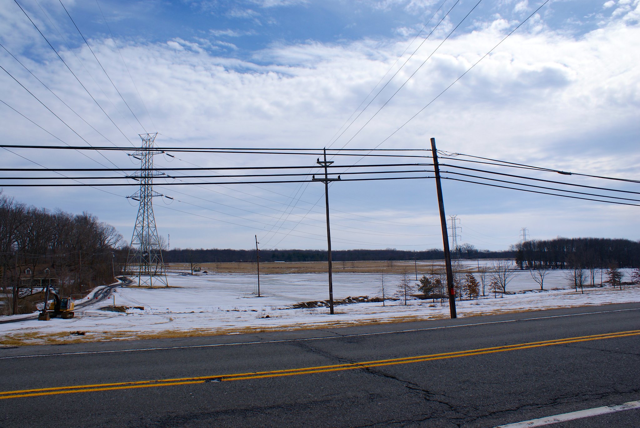
After the survey folks said they found a bunch of cool stuff to the North east of Hewitt I went back to see what sort of goodies there were. This shows the terrain the new route will be going through that PennEast believes is superior.

Old road behind Hewitt Road
As I mentioned in another post an old road was found behind the houses on that side. Originally people thought might have been a cobble stone road from the 1700s but the archeologists were not able to substantiate that. They speculate it still could have been a road dating back that far, possible used to access the stone quarry holes in the area.

Quarry Holes

When I last met the archeologist he said the number of quarries found between Hewitt Road and Old Route 518 was now up to 61. Those are 61 holes from the 1700s or earlier where people would manually dig and chisel out stone for use in construction.

Many of these quarry holes are right on the new pipeline route. This is the biggest one I found:

Here’s the other side of that hole.

Boulders everywhere
Further to the north east the boulders get thick. Really thick. You could walk a quarter mile just jumping from boulder to boulder without ever touching the ground.

Some of the boulders are REALLY big:

And the boulder field just goes on and on and on…

Powerline easement
Eventually you come out to the power line easement. You can see more slopes and yet more boulders. Construction along here is going to a noisy, messy affair.

A view from the easement towards the horse farm which the route now misses. The small structure you see to the right in the picture behind the trees is the picnic area for Hewitt Park. So even though the pipeline is further from the park it still comes very close and it’s still well within the blast zone.

Other quarry holes
Perhaps the coolest one I found was this one:

What makes it so cool is the chisel marks along the top of rock on the left. Here’s a closeup:

Yet another hole I stumbled on. I’ve been told these holes also serve as vernal pools and they’re the reason why we have so many salamanders and some other species in the area. Vernal pools are specially protected for the unique habitats they provide:

Some cracked boulders next to one of the pools.

Tailings from the big hole. In the background to the left is a big boulder cracked down the middle like an egg:

Residents furious at PennEast’s scoping responses

More local residents have expressed their outrage at PennEast’s awful scoping comments responses.

Janice from West Amwell NJ submitted a hand-written note to the FERC lambasting the company for dropping many of their scoping questions and lumping whole groups together into large categories without any real details being addressed. She writes (apologies for any typos, this is hand-transcribed by me):

This letter is in regard to the March 13, 2015 PennEast response to the scoping comments on Docket No. PF 15-1-000. My husband and I spent considerable time and energy to convey our most sincere concerns, objections, and questions in both our written and verbal scoping comments of which many were excluded from the PennEast response report. The PennEast report therefore is incomplete and unacceptable. Becauseit is PE’s and the FERC’s responsibilities to provide and monitor a thorough response report, we demand that our verbal and written scoping comments be re-read and satisfactorily reported in a specific manner addressing our concerns and answering our questions.

It is not our job to do yours or PennEast’s!

PennEast’s responses lumped concerns in general categories and did not reflect much thought or consideration to individual comments or concerns. We understand that our omissions are a common place poor practice that PennEast routinely provides and ask that you require PennEast to correct our omissions and mistakes, and accurately report on all comments made – reflecting its specific content in PennEast’s categories for a fair and just scoping and EIS process. Thank you.

Kim from Lambertville, NJ is a bit more…pointed…in her criticism of PennEast’s response:

I will be brief. The “Response” that PennEast provided to the scoping comments was a joke, and can be viewed as nothing more. Even FERC must admit that thousands of pages of extremely detailed, substantiated
comments and scientific arguments cannot be addressed with a couple of paragraphs of what appears to be boilerplate language. Very, very few concerns received what I would consider an actual response. Many parties
have already pointed out that a huge number of concerns brought up in scoping comments were not even listed, let alone addressed, and some of my comments too, fell into that category, including many concerns regarding the safety of the proposed line. In addition, many names were missing, or listed under the wrong classification, including, I believe, my own. It seems that even the simplest task of listing all commenters
and knowing if each is a landowner or not was beyond the capabilities of PennEast. How can you possibly approve ANY project under PE’s direction that involves high pressure gas, or anything else of a dangerous nature? They haven’t even mastered Microsoft Office. (Perhaps this explains the safety records and number of people killed by the companies involved.)

But back to the response. PennEast begins its response by indicating that said response is pursuant to 18 C.F.R. § 157.21(f)(9), which says, “Upon the Director’s issuance of a notice commencing a prospective applicant’s pre-filing process, the prospective applicant must… (9) Within 14 days of the end of the scoping comment period, respond to issues raised during scoping.” Surely implied in that requirement is a certain level of adequacy of the required response. Otherwise, a company could simply write a response that said “Pipelines are good”, and it would qualify. I would therefore ask FERC to please define for me the criteria that constitute an adequate response, and explain how PE’s response met those criteria. Clearly, even if the rudimentary task of accurately listing all scoping comment topics, and the people who commented on them, followed by boiler plate language that is copied from one pipeline project to another was FERC’s definition of an adequate response, PE failed.

And that brings me to my next question. What are the consequences of PE’s failure to comply with 18 C.F.R. § 157.21(f)(9)? Hopefully denial of the project. This project SHOULD be denied, based on, if nothing else, the ineptitude of the companies involved.

Thank you, and I look forward to your response.

I can only agree with Janice and Kim, PennEast’s response is wholly inadequate and really is a slap in the face to everyone who worked hard to provide details comments to the FERC. Beyond the time of individuals you also have to consider the time and effort and money spent by municipalities and organizations along the route. I know West Amwell have spent a tremendous amount of time analyzing the route and coming up with very detailed issues they are considered about, and PennEast more or less ignored them. The same is true of other townships here and in PA.

I can only hope that under the new FERC director, Norman Bay, that FERC starts enforcing their regulations and takes PennEast to task for this pitiful response. If not, all I can say is that we have the basis for a number of lawsuits against both the FERC and PennEast right here. If FERC won’t do its job maybe the courts will force them to.

Janice’s submission – FERC Generated Submission

Janice’s submission – FERC Generated Submission Alternate Site

Kim’s submission – FERC Generated PDF

Kim’s submission – FERC Generated PDF Alternate Site

West Amwell Township responds to PennEast’s boilerplate scoping replies

I’m immensely proud of the political leadership in my town of West Amwell. The elected and designated officials of our town have been fighting against PennEast from the beginning, and their focus and dedication on this issue has been relentless.

Our town’s pipeline committee has seen PennEast’s ridiculous boilerplate replies to the scoping comments, and has submitted a very detailed document of all of the things PennEast missed.

The committee’s response is available here, and is signed by Cathy Urbanksi, Chair of the West Amwell Pipeline Committee, and George Fisher, mayor.

Here’s a link to the FERC alternate site in case the main one above is down.

It mentions the National Heritage Priority Site on Goat Hill that PennEast missed.

The specific, unique reasons lands have been preserved in the Sourlands that PennEast did not address.

The details of our C1 water ways and drinking water situation that PennEast ignored.

Our township officials have had to educate PennEast on the realities of blasting in hard diabase bedrock. Earth to PennEast – shaped charges do not mitigate vibration in bedrock. Shaped charges in fact focus more of the blast into the diabase. Our concerns do not consider just debris from blasting (although this is important). Our concerns relate the fact that diabase is a highly efficient medium for conducting blast waves, and that those waves can collapse the fissures in the bedrock that we rely on for our wells.

On these and many more points our township committee has had to educate and chastise PennEast for it’s woefully inadequate response.

They close with this summary:

The scoping period was “to solicit comments on the scope of the environmental review for the Project from interested stakeholders.”

West Amwell Township spent considerable time and resources preparing the scoping comments and expressing our specific concerns. It appears that they were ignored or just not read by PennEast. It is not possible for PennEast to prepare a comprehensive Environmental Impact Statement when the scoping period comments were mostly disregarded.

Of the comments that PennEast did respond to, most did not address specific issues and concerns. They were boilerplate and stock responses. The “interested stakeholders” were treated very unfairly and not in accordance with the regulations:

“Pursuant to Section 157.21(f)(9) of the Commission’s regulations, 18 C.F.R. § 157.21(f)(9) (2014), PennEast submits, in Appendix A hereto, its response to comments posted to the above-referenced docket.”

Lest I offend the other towns along the pipeline route by over doing it with West Amwell, let me hurry to say that opposition against the pipeline has been unanimous in NJ, and has been swelling in PA for some months, and the level of detail and commitment in those towns has been simply outstanding overall. I keep thinking back to the scoping meeting in Hampton, NJ where the mayor of Kingwood Township stood up for his comments and basically raked PennEast over the coals, demanding the company guarantee drinking water for every single resident in his town for a decade or more after construction.

If you’re in one of those towns that hasn’t passed a resolution in opposition of PennEast, send them links to comments like these. Show them what a united front of townships up and down the route can do.

The shills dig in

The most recent Lehigh Valley Live article on the PennEast article attracted the usual set of comments.  No surprise there.

What surprised me was to see a conversation in the comment section between “OldJohnDeer79″ and…”Mike Spillet” in West Amwell.

There is no “Mike Spillet” in West Amwell but there sure is a “Mike Spille” – ME!

So now we have PennEast shills impersonating real people, and they don’t even have the skills to get their name right.

How low are they willing to stoop?

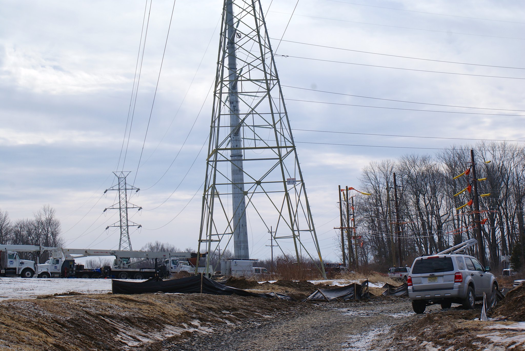
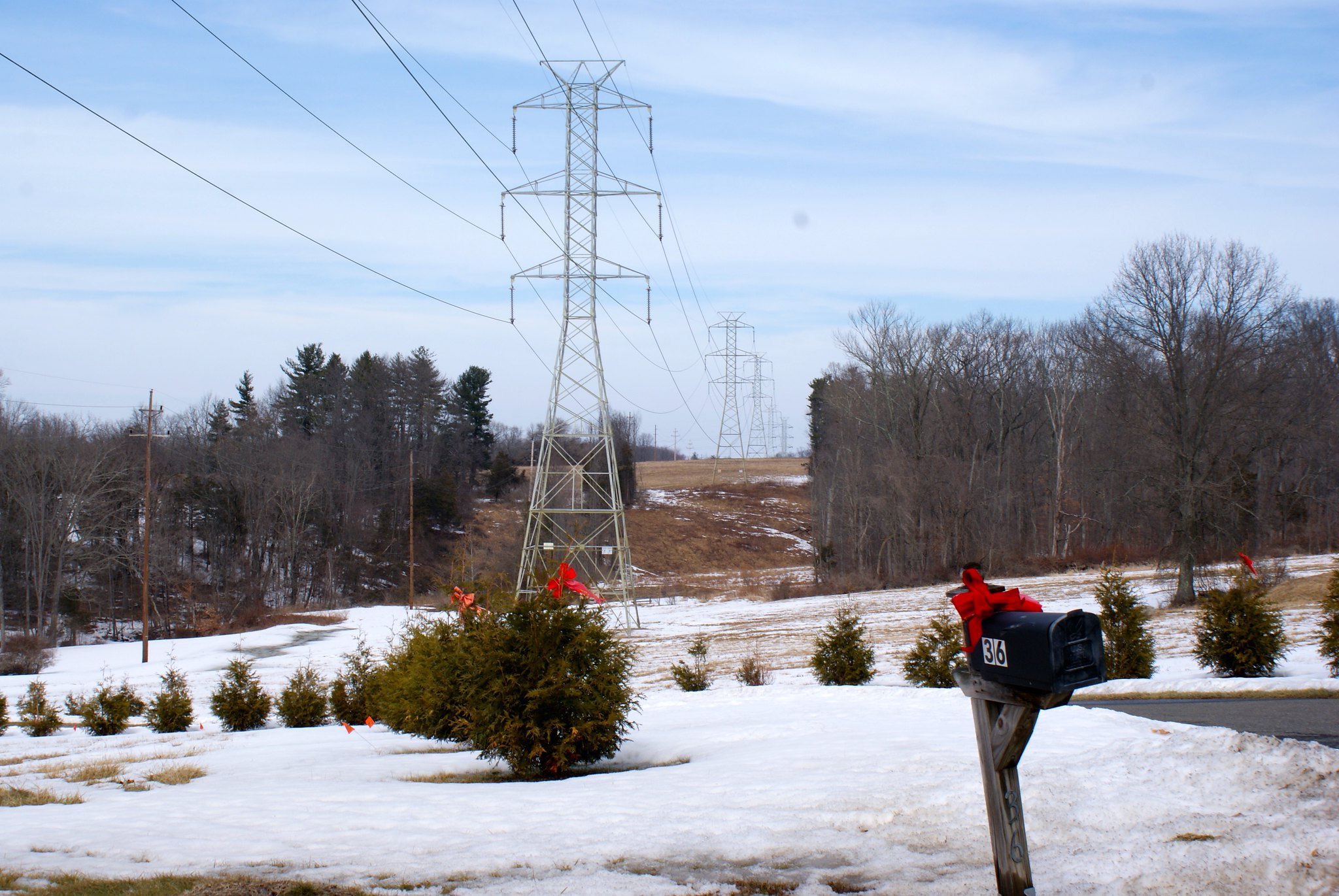
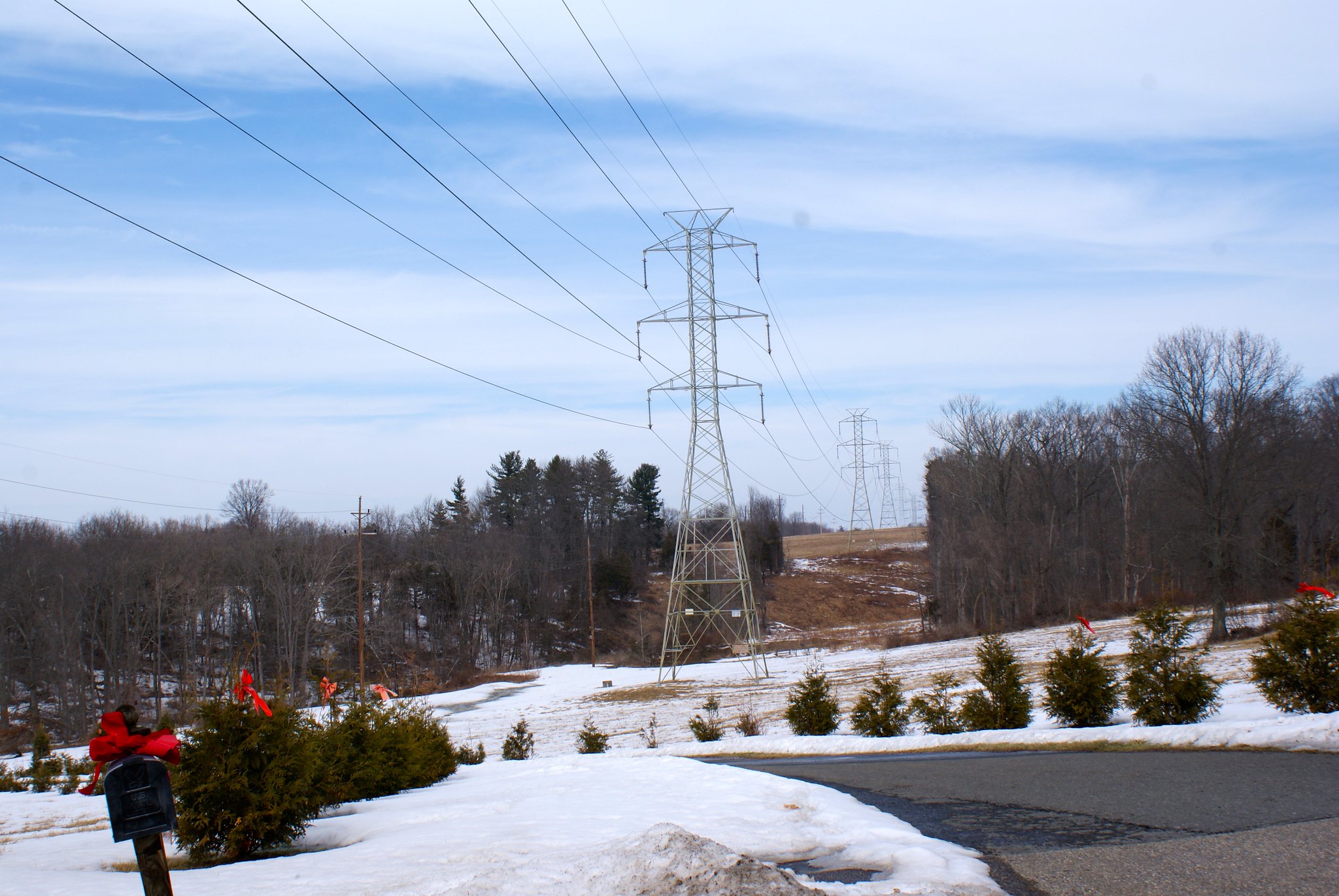
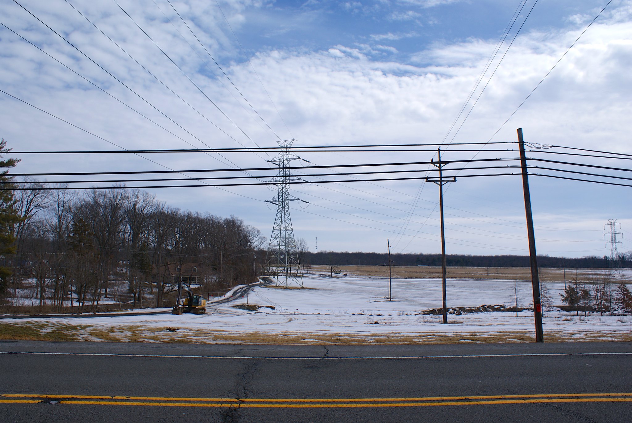
Photographing the pipeline route, Part 5: Northern West Amwell, NJ

This portion of the pipeline route goes through the northern part of West Amwell, NJ.

Rocktown Lambertville Road electrical sub-station
The power company has been beefing up the electrical sub-station here. Residents have complained a bit about the constant trucks and construction activity. Now two years later they’ll have to deal with an order of magnitude more headaches when the pipeline construction crew comes in. I also don’t know how good an idea it is to come this close to an electrical sub-station with a steel pipeline. There’s a lot of high voltage very close to the ground here.

Pipeline construction will also cut across the only access road into the sub-station.

This view is looking southward from the road.

Rocktown Lambertville Road sub-station close up
A zoomed in version of the previous shot.

Rocktown Lambertville Road looking northward
A view from the road looking north. As you can see this is somewhat hilly country. In the foreground you see the pipeline will cut right across a person’s driveway. This is “Fair Chase”, a very cool house with unique architecture.

Rocktown Lambertville Road looking north, alternate view
An alternate angle from the prior shot.

Rocktown Lambertville Road, Fair Chase Estate
A view of Fair Chase Estate in relation to the pipeline route. You can see pictures of this stunning home on zillow. I wonder what the pipeline will do to their property values? You can see the house in this shot on the extreme middle-left. There is a small stream in the fold of the land that runs through here that you can’t see that goes behind the house.

Route 179 looking south west
The pipeline route turns here to change direction a bit. The turn is right at the house you see in the picture, so they’ll be within a few hundred feet of the pipeline. Route 179 is another major route into Lambertville.

Route 179 looking south west, closeup
A zoomed in version of the previous shot.

Route 179 looking south west, wide angle
A wider angle view showing more of the route. The route is running all through farmland here.

Route 179 looking north east
Reverse view this time looking to the north east from 179. More farmland. It’s a good thing I have a 4WD pickup, the mud here was really thick and even in 4wd I was worried about getting out!

Alexauken Creek Road
Alexauken Creek is another category 1 stream in the area that the pipeline is going to cross. West Amwell Township has gone to extraordinary lengths to protect this stream as a vital one to the watersheds in the area. You can read the Alexauken Creek Watershed Protection Plan here. During times of heavy rain and snow melt this creek turns into a real beast, as it did when I came through taking pictures. Over 600+ acres of land around it has been preserved as the Alexauken Creek Wildlife Management Area.

This is a really important water way. So of course the PennEast pipeline will be going right through it in some very hilly areas.

This picture is of the “Titus Property”, land that’s been permanently preserved. The pipeline is running just a few hundred yards from this property.

Alexauken Creek Road, closeup
A zoom in of the previous shot.