
This portion of the pipeline route goes through the northern part of West Amwell, NJ.
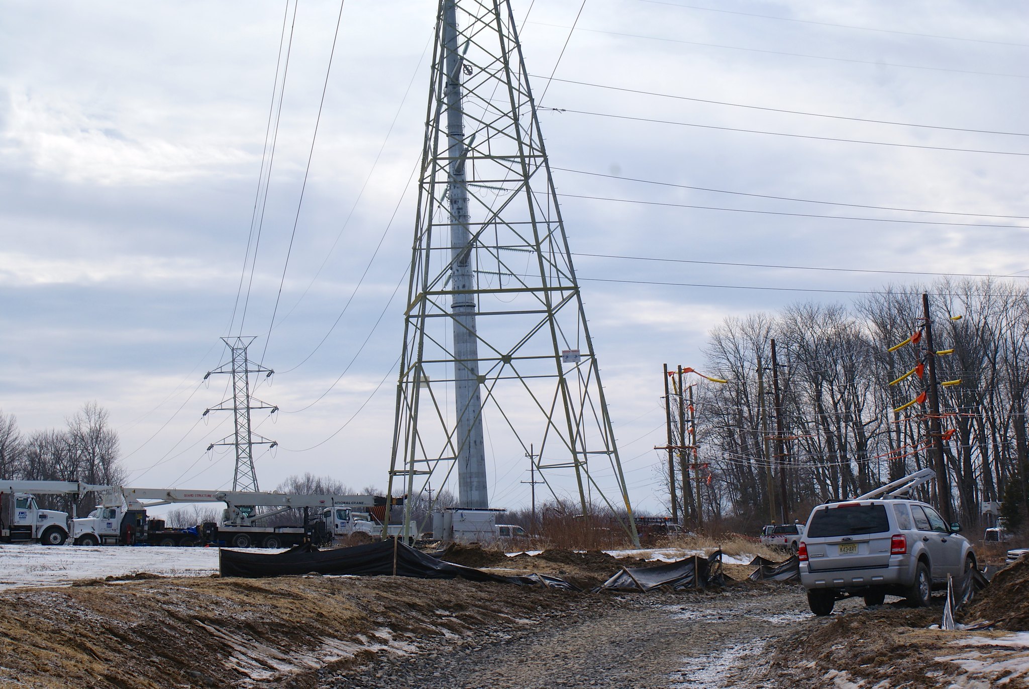
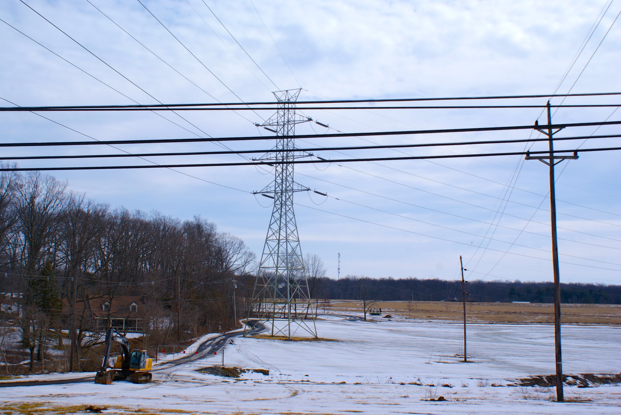
Rocktown Lambertville Road electrical sub-station
The power company has been beefing up the electrical sub-station here. Residents have complained a bit about the constant trucks and construction activity. Now two years later they’ll have to deal with an order of magnitude more headaches when the pipeline construction crew comes in. I also don’t know how good an idea it is to come this close to an electrical sub-station with a steel pipeline. There’s a lot of high voltage very close to the ground here.
Pipeline construction will also cut across the only access road into the sub-station.
This view is looking southward from the road.

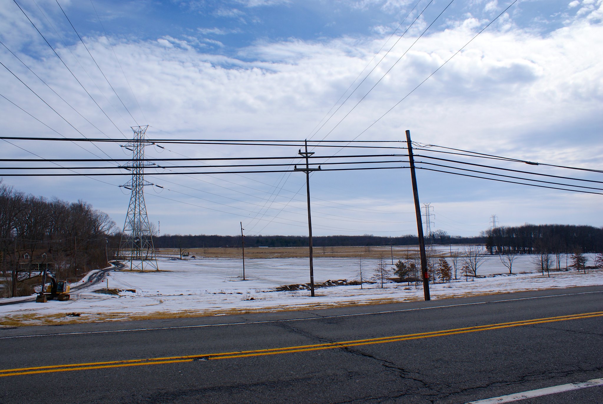
Rocktown Lambertville Road sub-station close up
A zoomed in version of the previous shot.
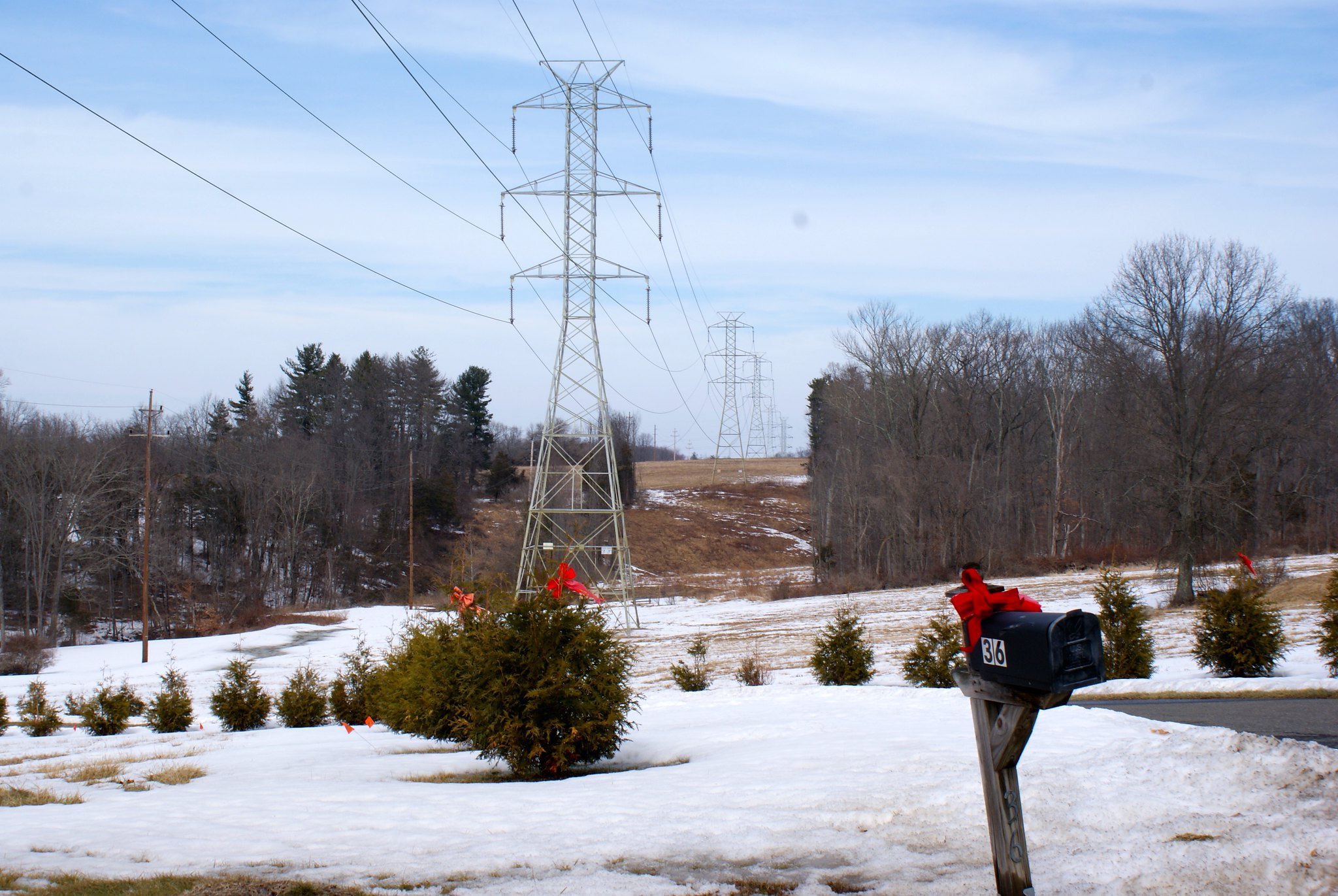
Rocktown Lambertville Road looking northward
A view from the road looking north. As you can see this is somewhat hilly country. In the foreground you see the pipeline will cut right across a person’s driveway. This is “Fair Chase”, a very cool house with unique architecture.
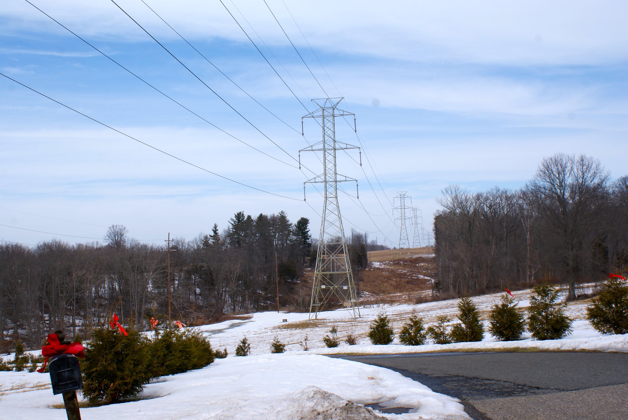
Rocktown Lambertville Road looking north, alternate view
An alternate angle from the prior shot.
Rocktown Lambertville Road, Fair Chase Estate
A view of Fair Chase Estate in relation to the pipeline route. You can see pictures of this stunning home on zillow. I wonder what the pipeline will do to their property values? You can see the house in this shot on the extreme middle-left. There is a small stream in the fold of the land that runs through here that you can’t see that goes behind the house.

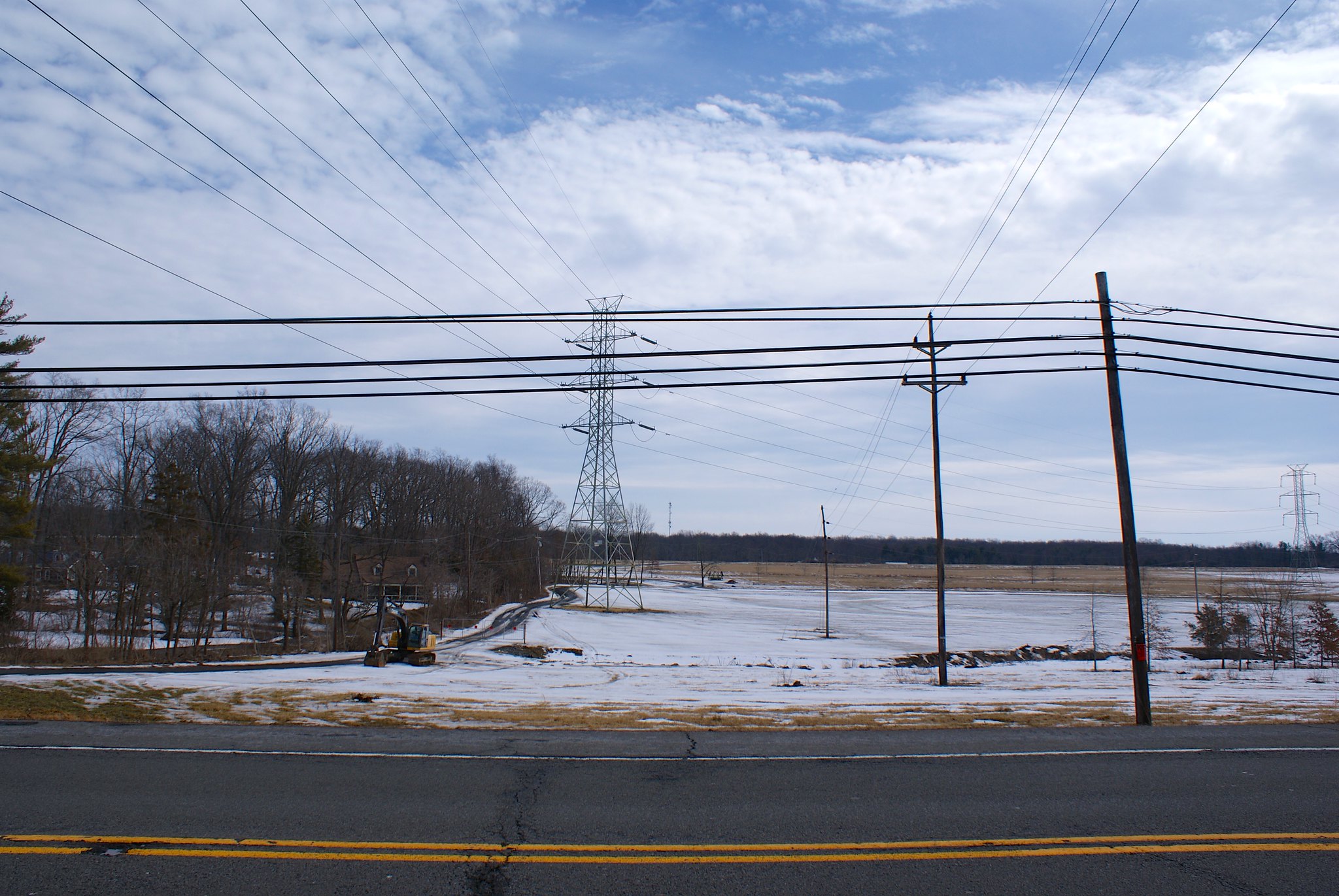
Route 179 looking south west
The pipeline route turns here to change direction a bit. The turn is right at the house you see in the picture, so they’ll be within a few hundred feet of the pipeline. Route 179 is another major route into Lambertville.
Route 179 looking south west, closeup
A zoomed in version of the previous shot.
Route 179 looking south west, wide angle
A wider angle view showing more of the route. The route is running all through farmland here.
Route 179 looking north east
Reverse view this time looking to the north east from 179. More farmland. It’s a good thing I have a 4WD pickup, the mud here was really thick and even in 4wd I was worried about getting out!

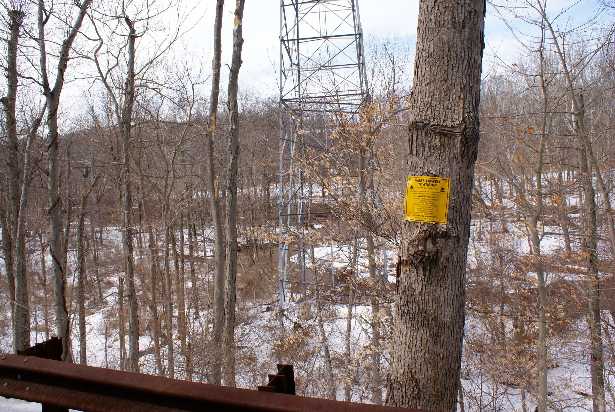
Alexauken Creek Road
Alexauken Creek is another category 1 stream in the area that the pipeline is going to cross. West Amwell Township has gone to extraordinary lengths to protect this stream as a vital one to the watersheds in the area. You can read the Alexauken Creek Watershed Protection Plan here. During times of heavy rain and snow melt this creek turns into a real beast, as it did when I came through taking pictures. Over 600+ acres of land around it has been preserved as the Alexauken Creek Wildlife Management Area.
This is a really important water way. So of course the PennEast pipeline will be going right through it in some very hilly areas.
This picture is of the “Titus Property”, land that’s been permanently preserved. The pipeline is running just a few hundred yards from this property.
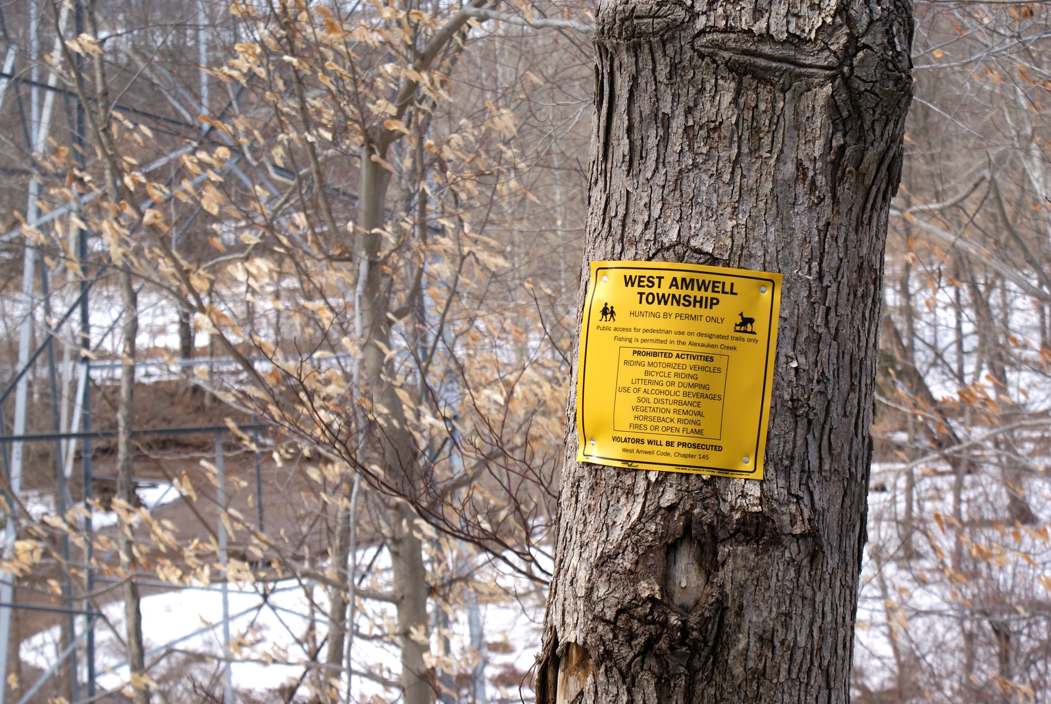
Alexauken Creek Road, closeup
A zoom in of the previous shot.

Published by