
Update: Roads incorrectly identified as in Durham were changed to the correct town of Williams Township.
In part 14 we finally make it into Pennsylvania! It’s been a long trip and we’re still only halfway there.
Once again my wife and I took our trusty hound and pitbull mix along for the ride. The foxhound, Fern, wasn’t too sure about all of this driving until we hit this sign just into PA:
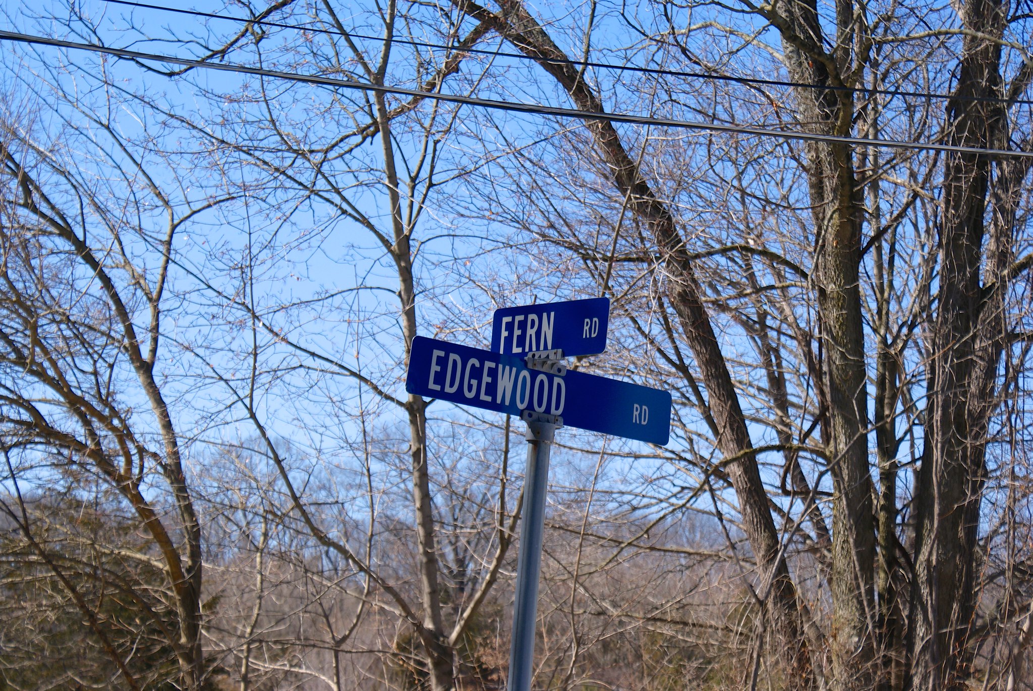
Once she saw that she knew PA was cool and approved of our mission.
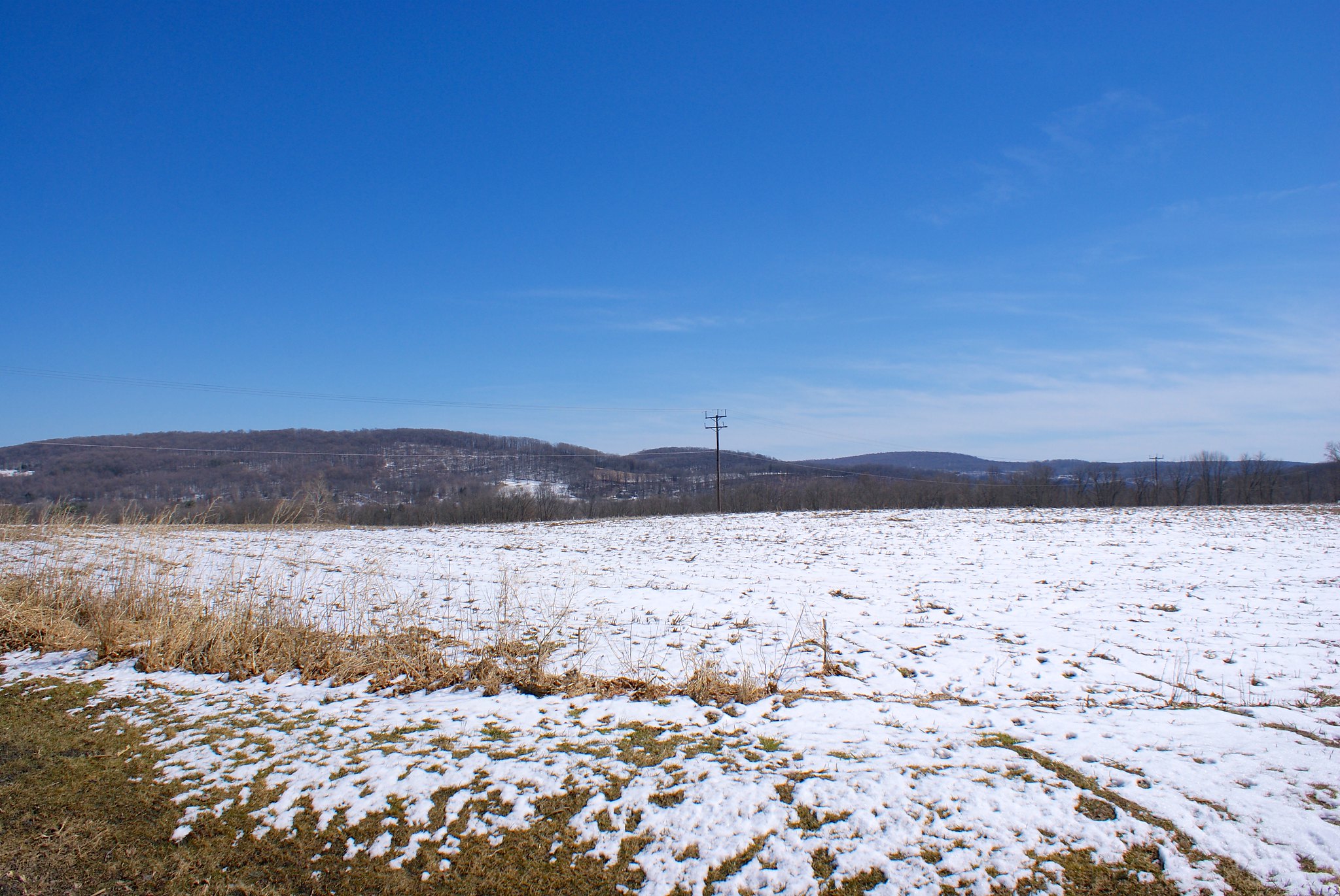
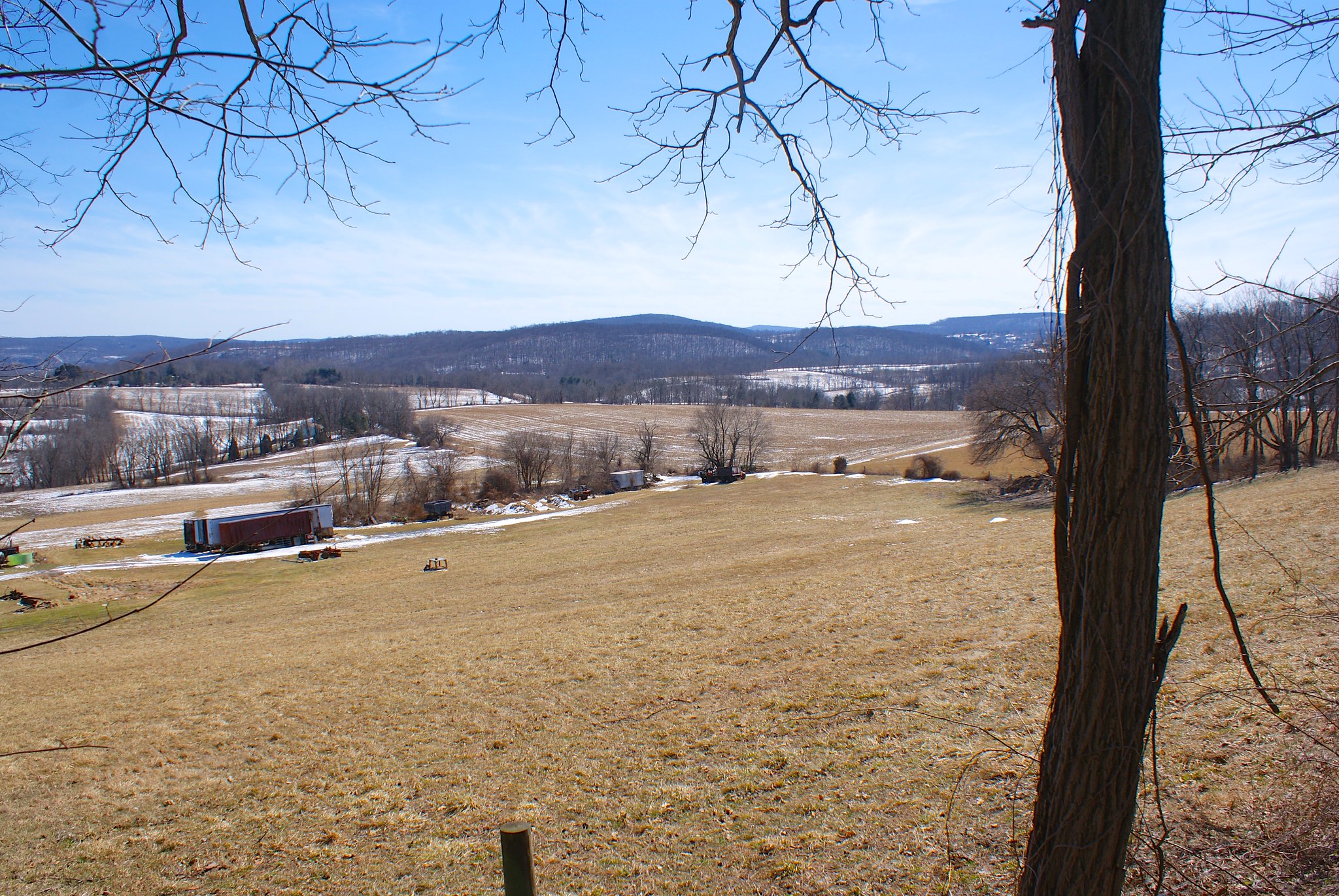
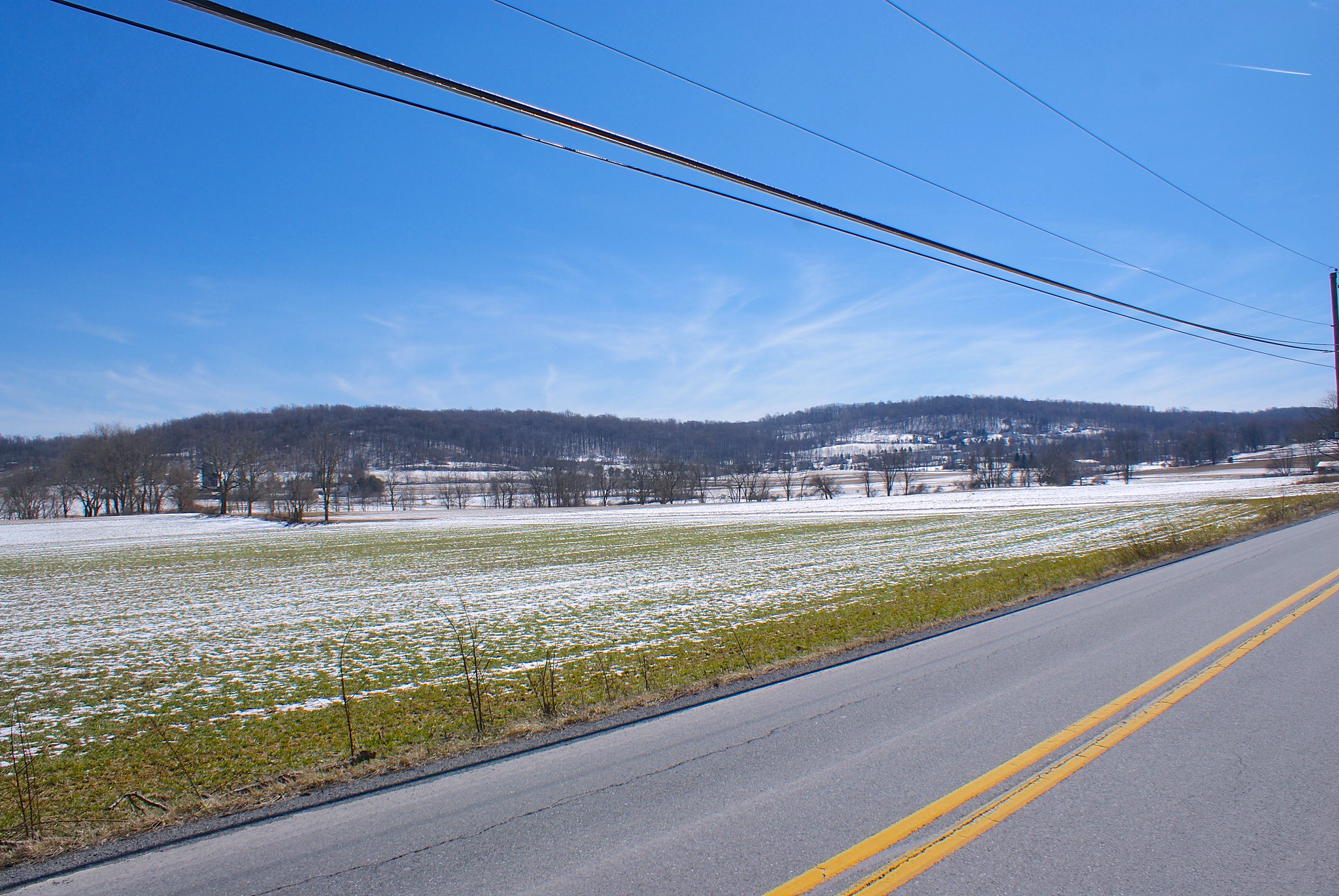
Shot 256 – Riegelsville PA – Delaware Road Looking South
We were fortunate for our first day in PA to have good weather, in particular clear skies and lots of sun. We started out on Delaware Road looking south.

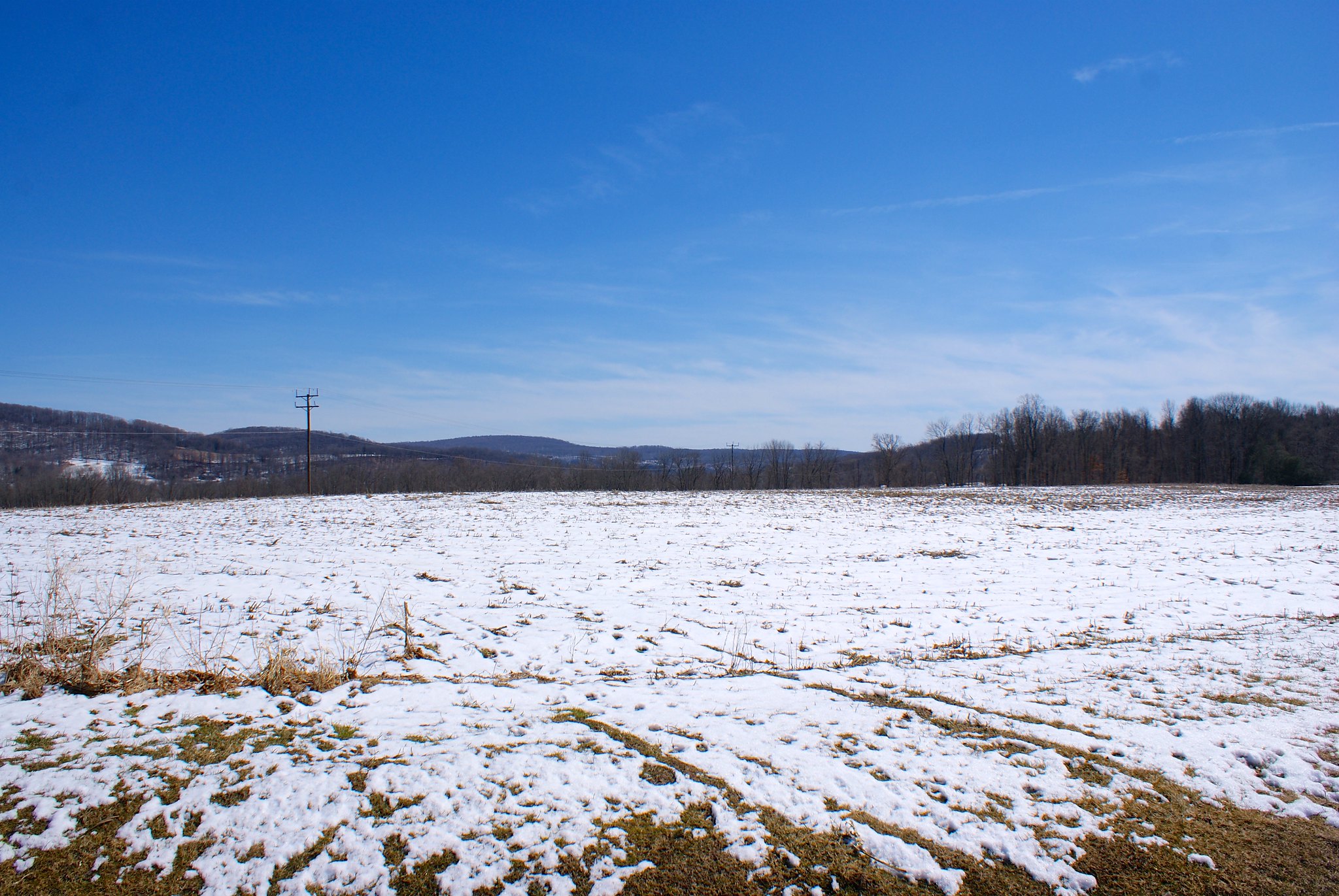
Shot 257 – Riegelsville PA – Delaware Road Looking South Zoom
A zoomed in shot of the previous one focusing on the rolling hills.

Shot 258 – Riegelsville PA – Delaware Road More To Right
Panning the previous shot more to the right.
Shot 259 – Riegelsville PA – Delaware Road More To Right Zoomed
A zoomed in version of the previous shot.
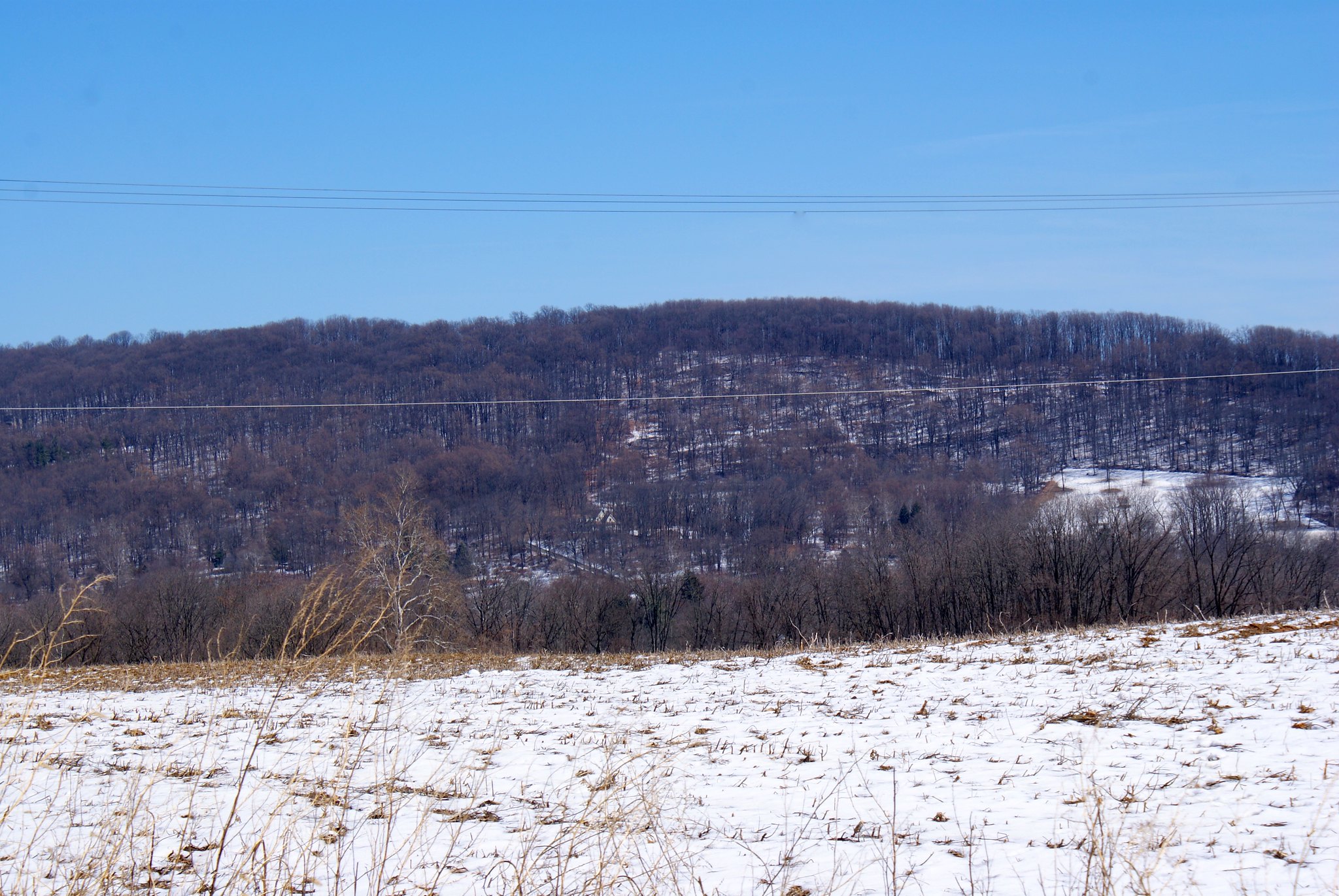
Shot 260 – Riegelsville PA – Delaware Road To South Extreme Zoom
An extreme zoom in on the hills
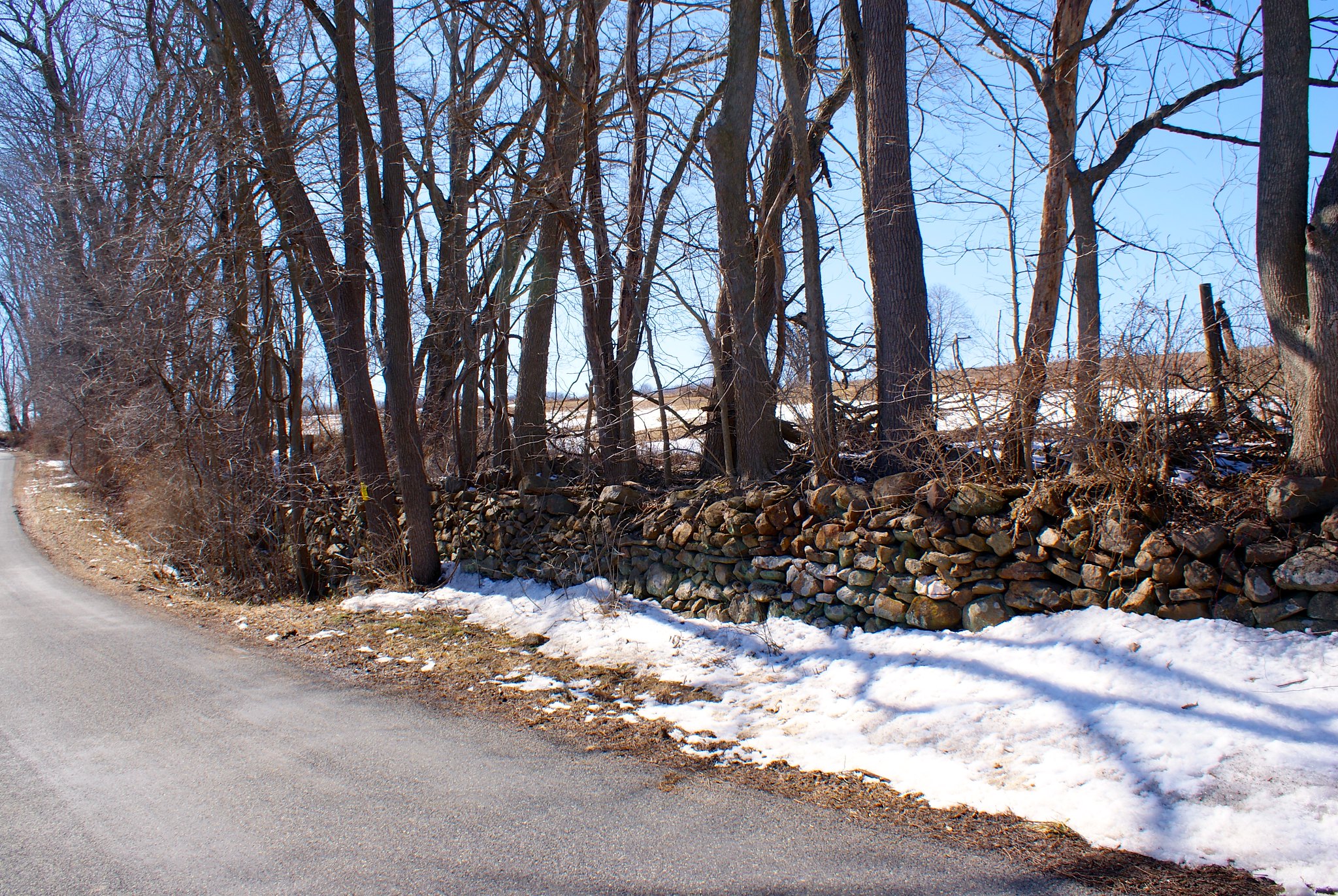
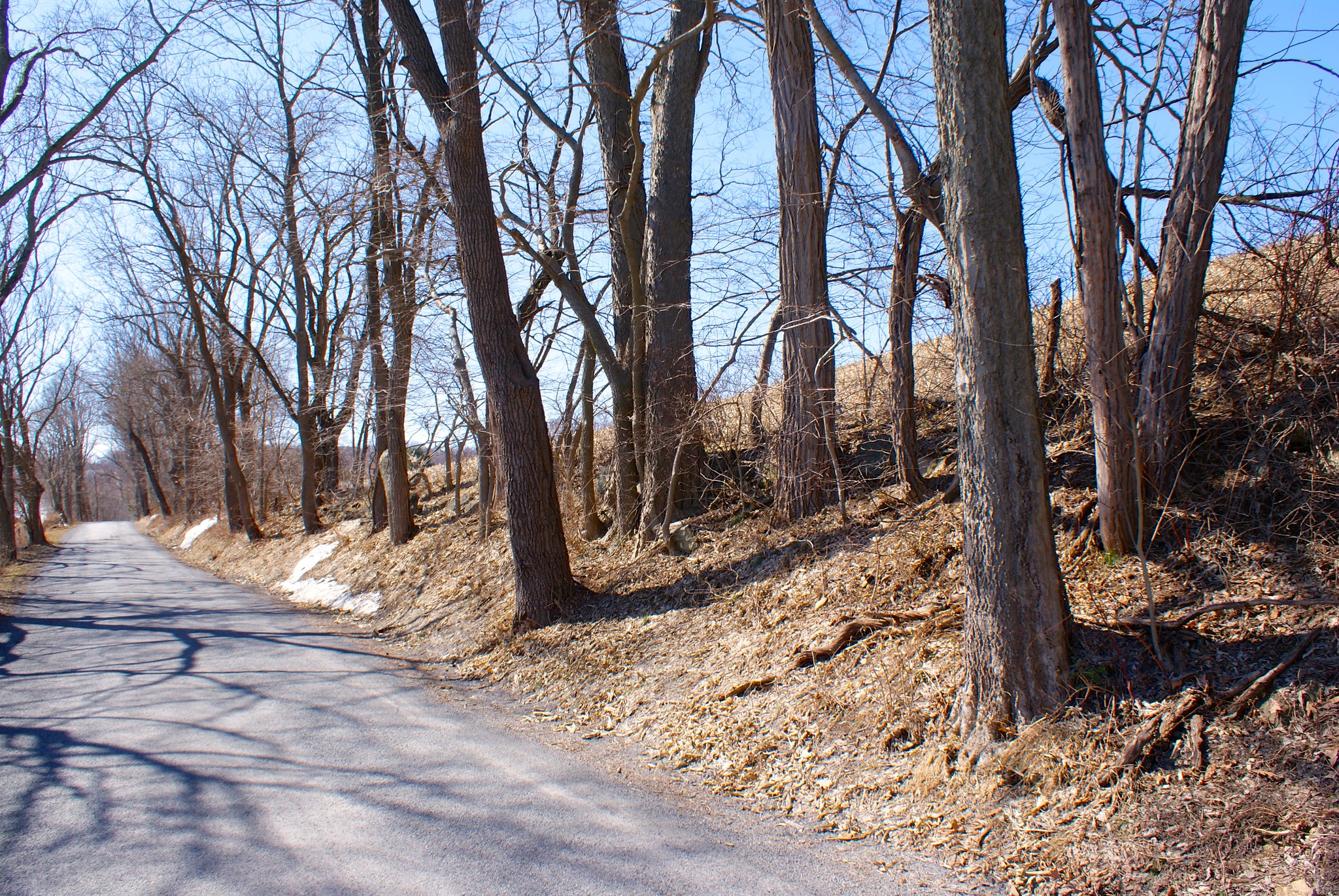
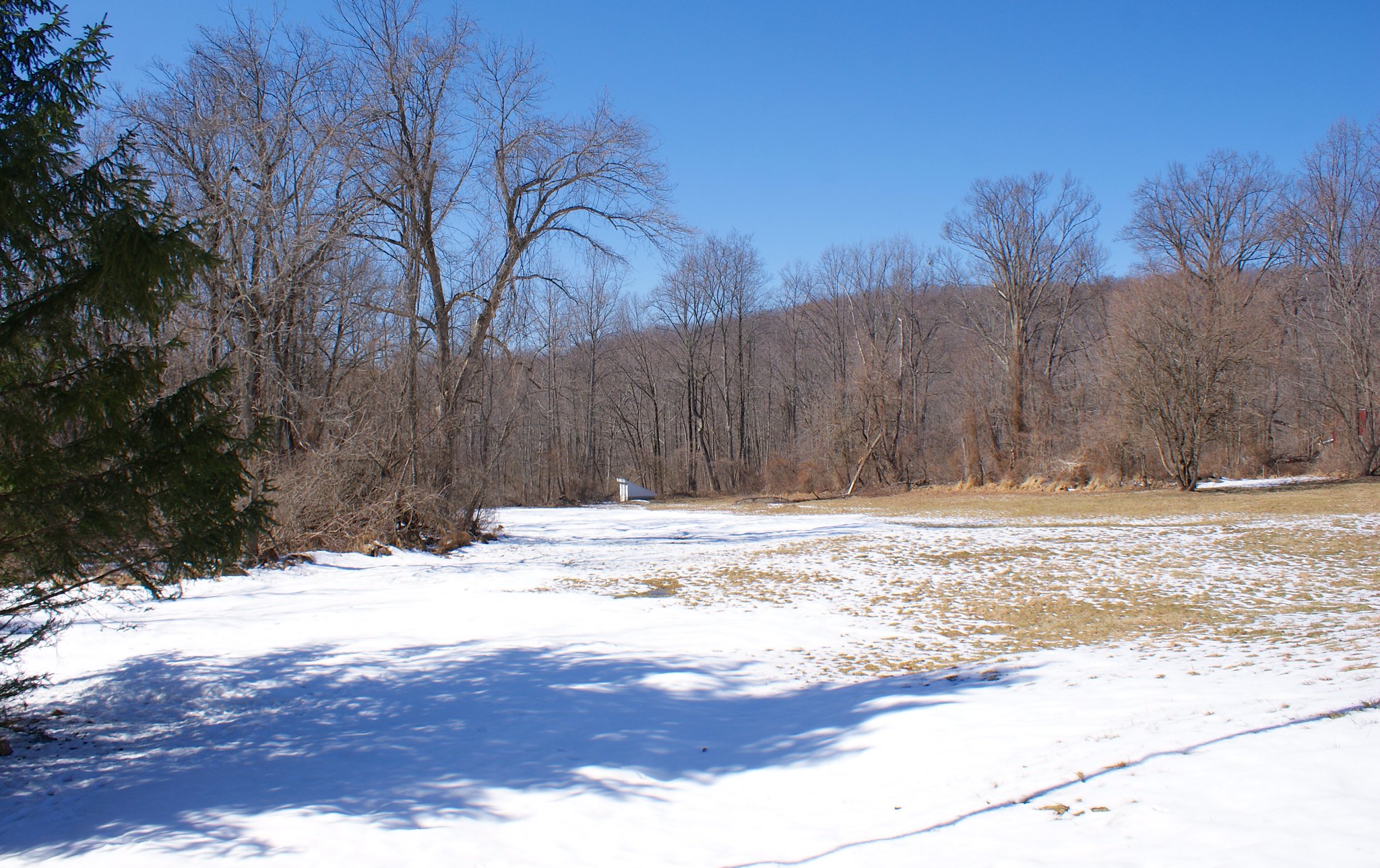
Shot 261 – Riegelsville PA – Delaware Road To North Rock Wall
Turning around and looking to the north we see a quaint rock wall lining the road, with more farms beyond the wall. It is very hard to imagine heavy machinery cutting into country like this to bury a pipeline 8′ in the ground. I somehow doubt PennEast is going to repair this wall rock by rock.

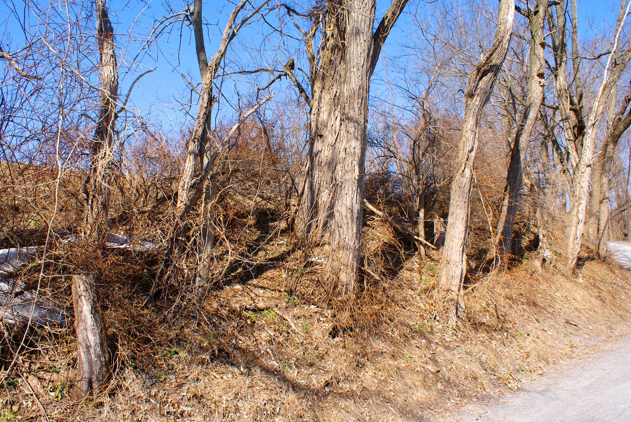
Shot 262 – Riegelsville PA – Delaware Road To North West
Looking down the road a bit.
Shot 263 – Riegelsville, PA – Spring Hill Road to South
We moved onto Spring Hill Road after that. As you can see it’s just all farm country here.
Shot 264 – Riegelsville, PA – Spring Hill Road to South Stream
Zoomed into a stream to the south that the pipeline will cut across.

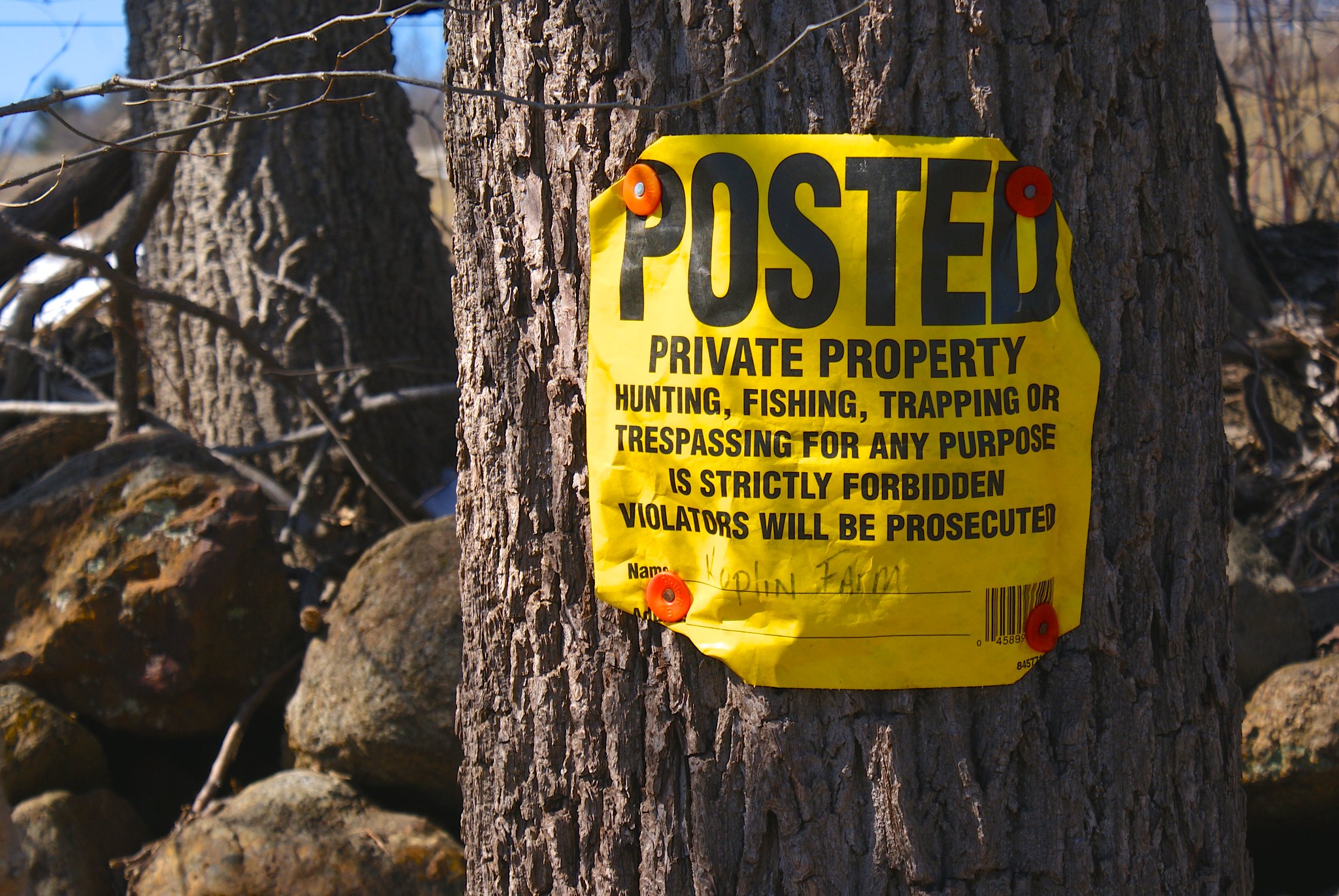
Shot 265 – Riegelsville, PA – Spring Hill Road Koplin Farm
Posted sign from Kopling Farm. Keep them varmints from PennEast out!
Shot 266 – Riegelsville, PA – Spring Hill Road to North
The view turning to the North. A slanted field along the length of the pipeline route, probably bad news during construction, debris will likely flow downhill over the fields if it rains heavily at all during construction time.

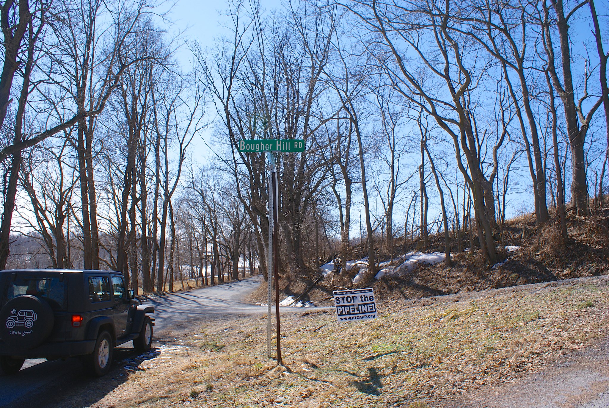
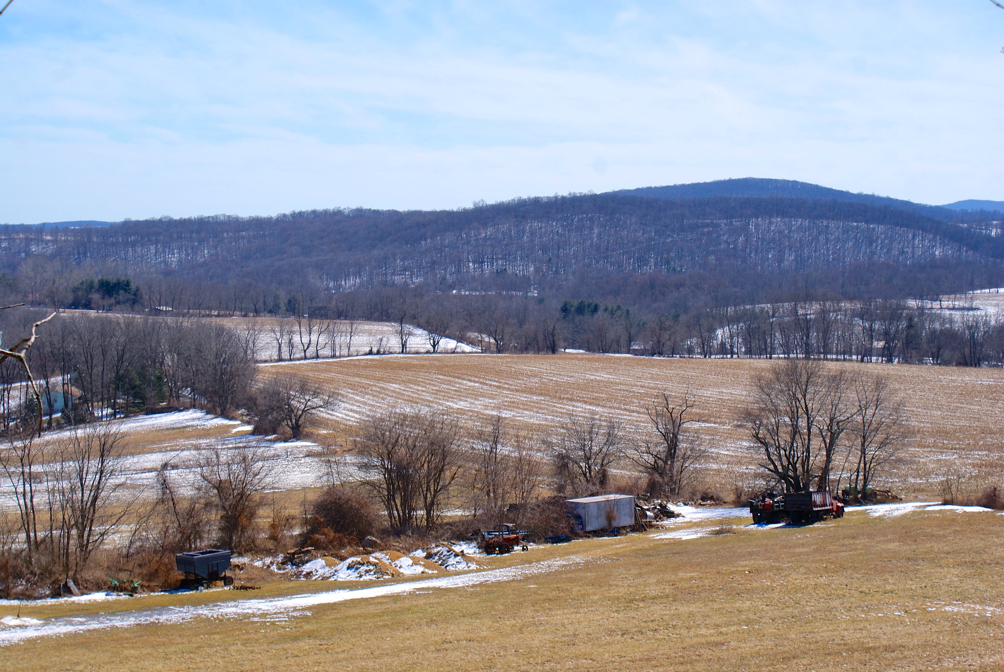
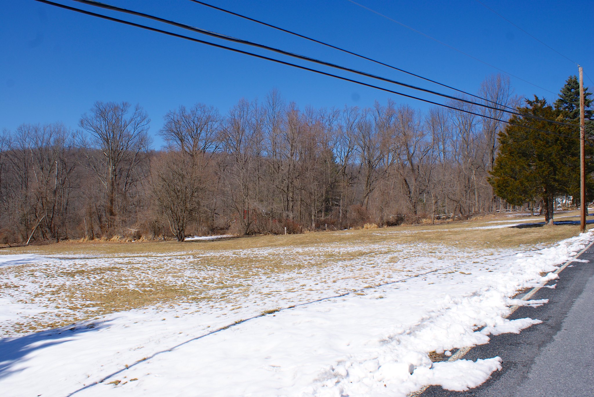
Shot 269 – CountyLine Road and Bougher Hill Road
Moving along to County Line road, I saw a “Stop the Pipeline!” sign had fallen over, likely from all the rapid cycles of snow/freeze/melt/repeat we’ve been going through in the past two months. I propped it back up and got a quick shot, the pipeline route is a couple of hundred feet down the road from this intersection.
Shot 269 – CountyLine Road to south
CountyLine road runs along a little ridge as you can see. The view south is simply awesome. The pipeline will be coming through the middle of this shot.
Shot 270 – CountyLine Road to south pan right
Same as above but panned to the right a bit.
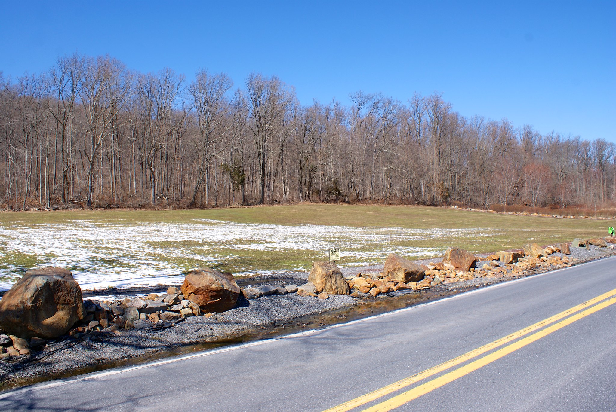
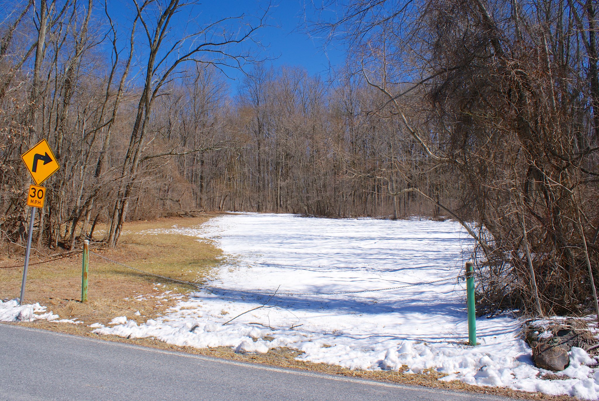
Shot 271 – CountyLine Road Crossing Area
Looking down the road at the approximate crossing area.
Shot 272 – CountyLine Road to North
Looking more to the north on the road.
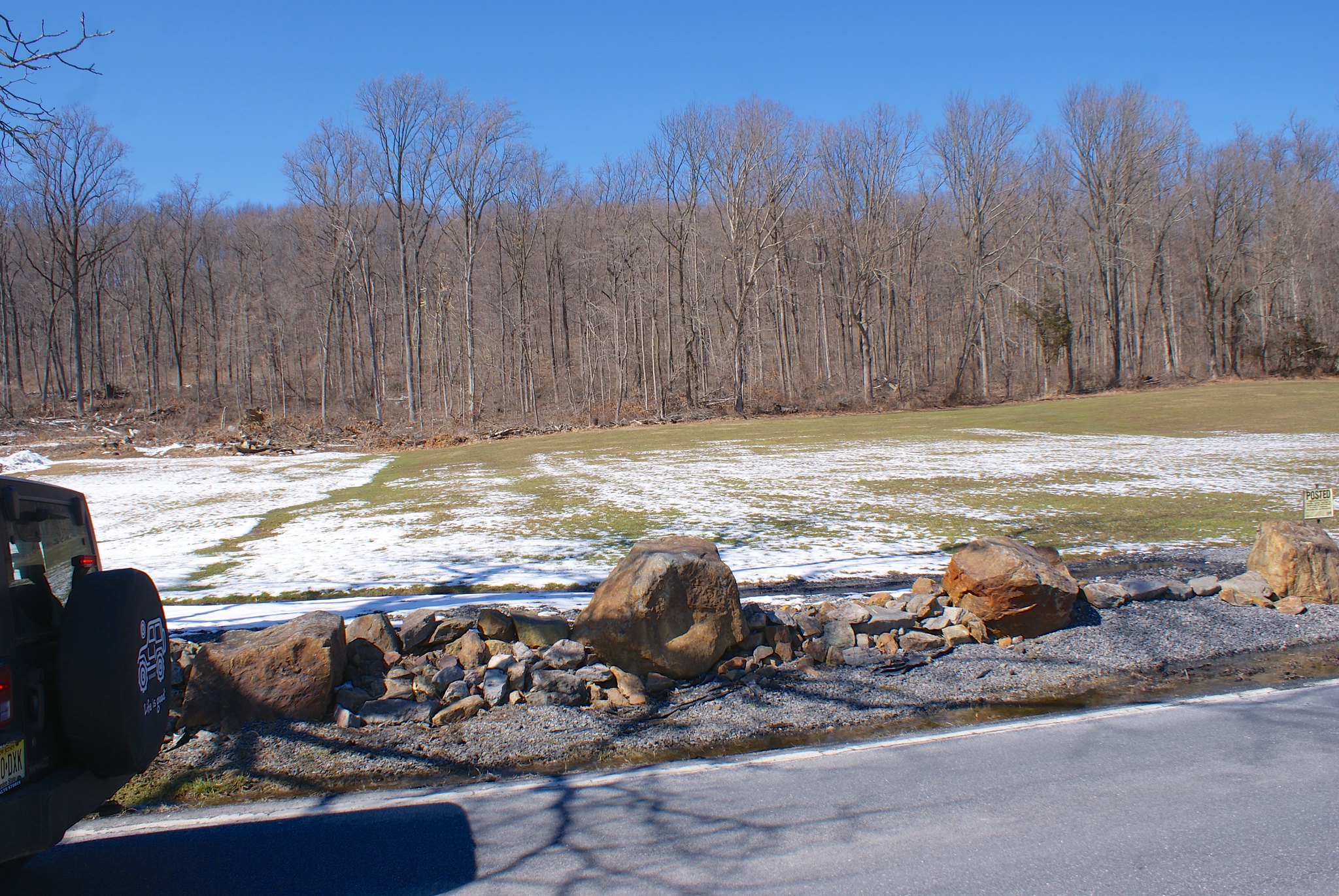
Shot 273 – CountyLine Road Southern Zoom
A zoomed in shot of the scenic view to the south.
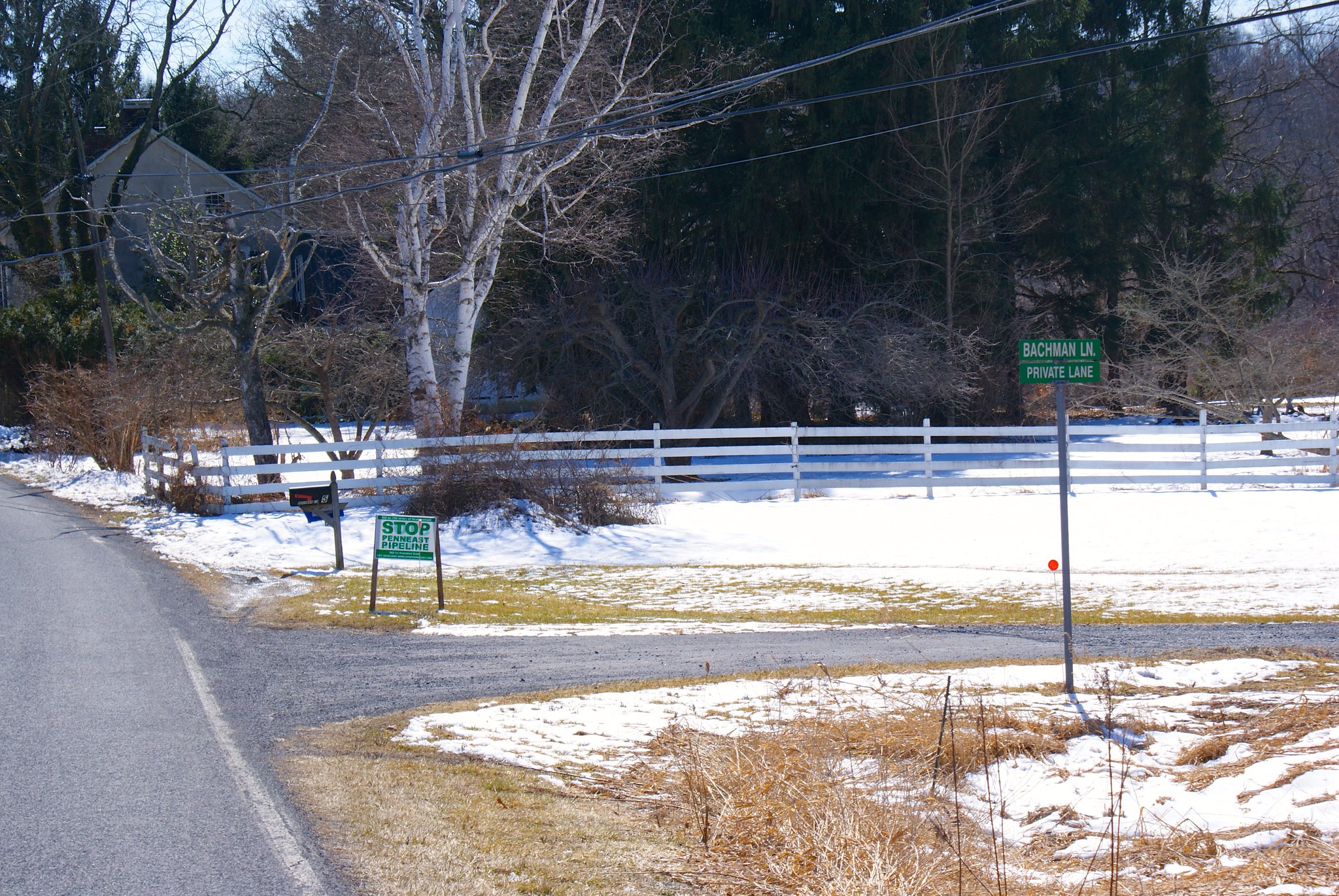
Shot 275 – Durham PA, Durham Road and Bachman Lane
After that we did Durham Road, with yet another Stop PennEast Pipeline sign 🙂
Shot 276 – Durham PA, Durham Road Old Farm
An old farm along the route, not sure if it’s active or not, some of the buildings appeared to be in pretty bad shape.

Shot 277 – Durham PA, Stop PennEast sign
A closeup of yet another pipeline sign on Durham Road.

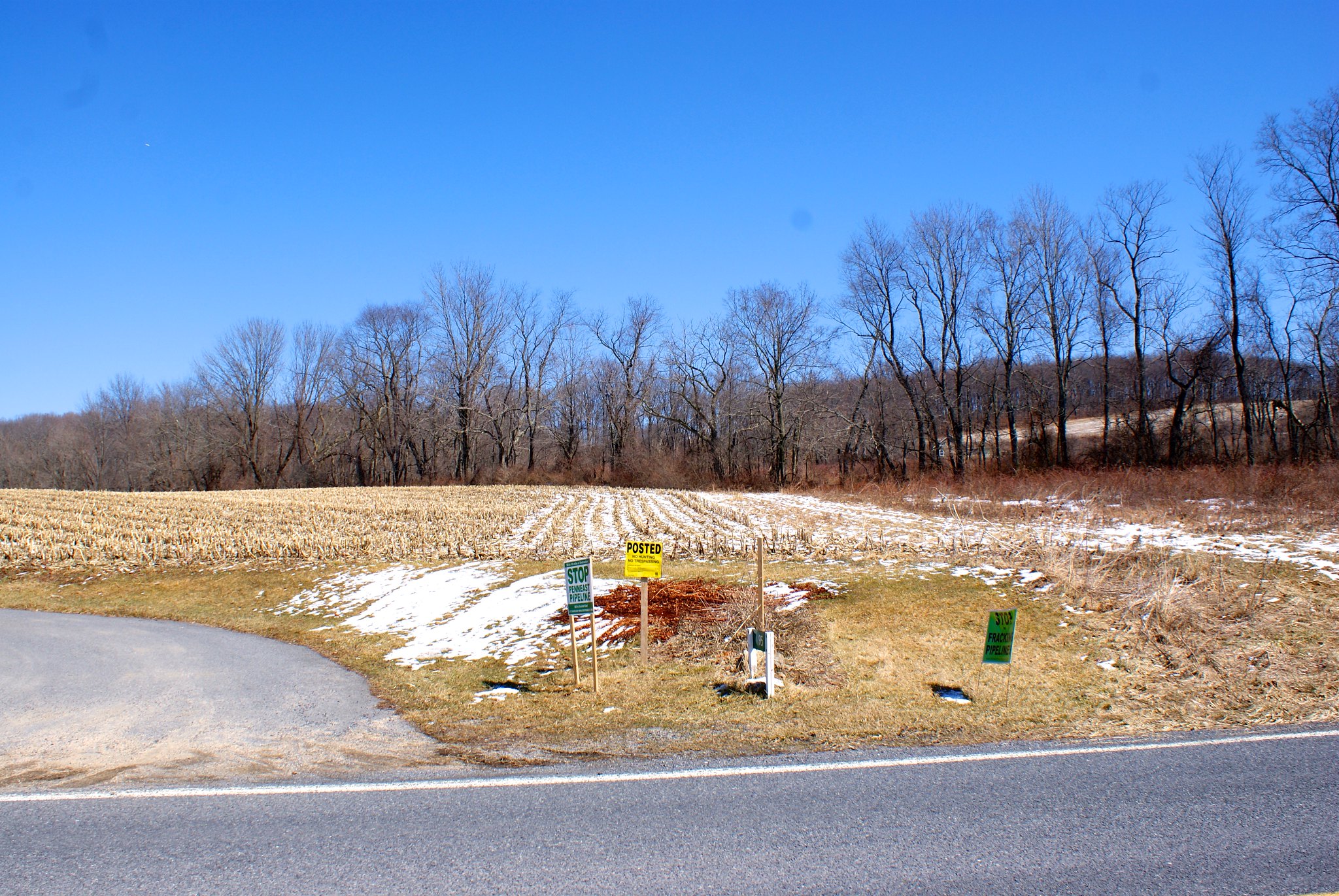
Shot 278 – Durham PA, Durham Road Signs
A cluster of signs at a farm on Durham Road.
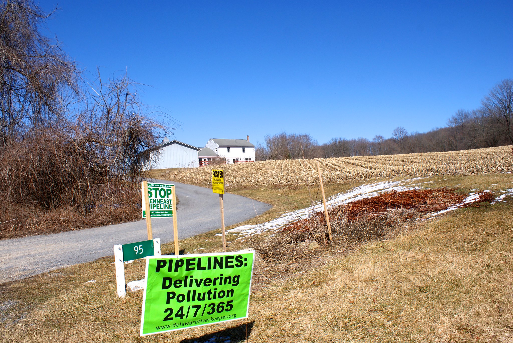
Shot 279 – Durham PA, Durham Road Farm House
A shot of the farm house and all their anti-pipeline signs on Durham Road.
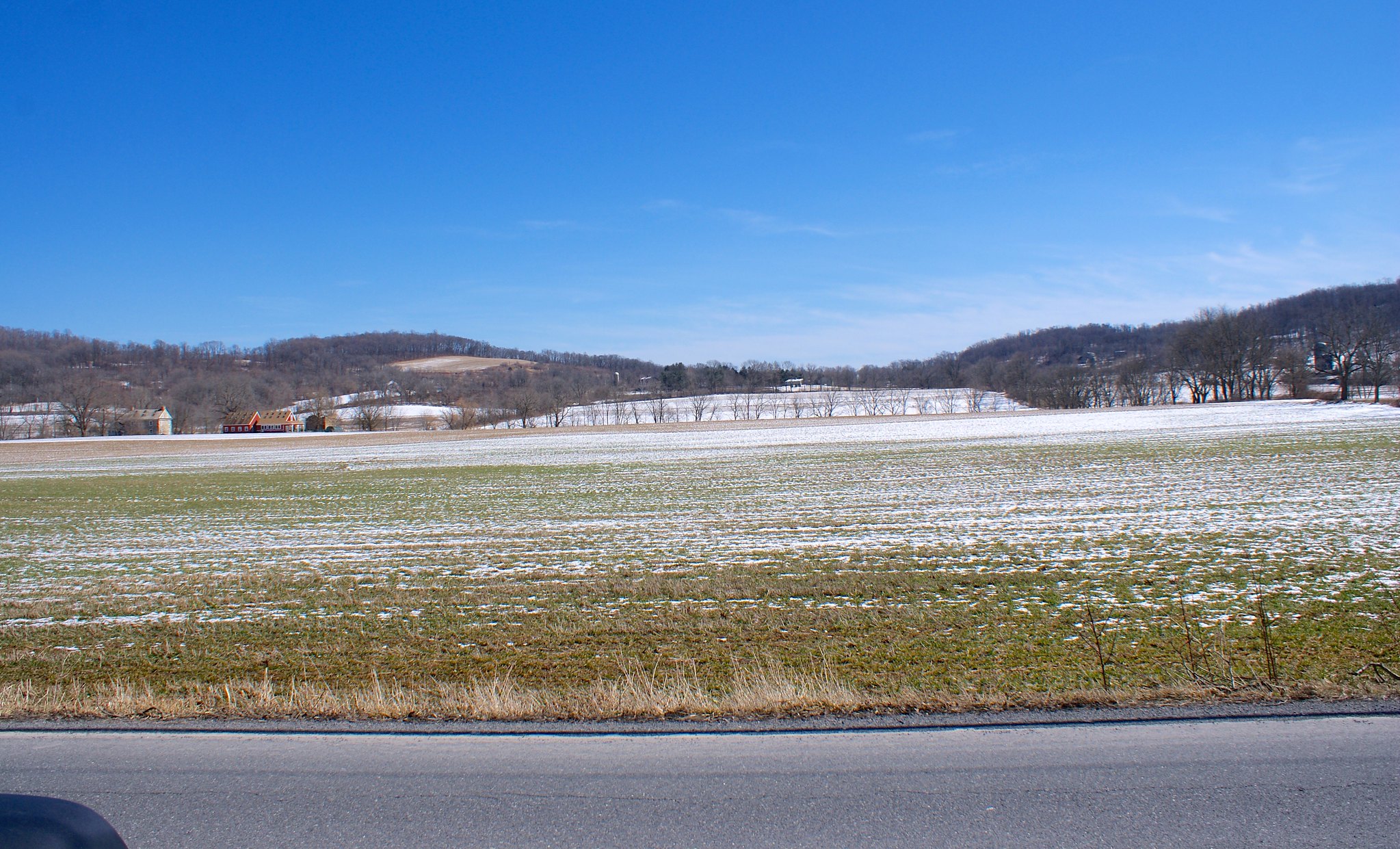
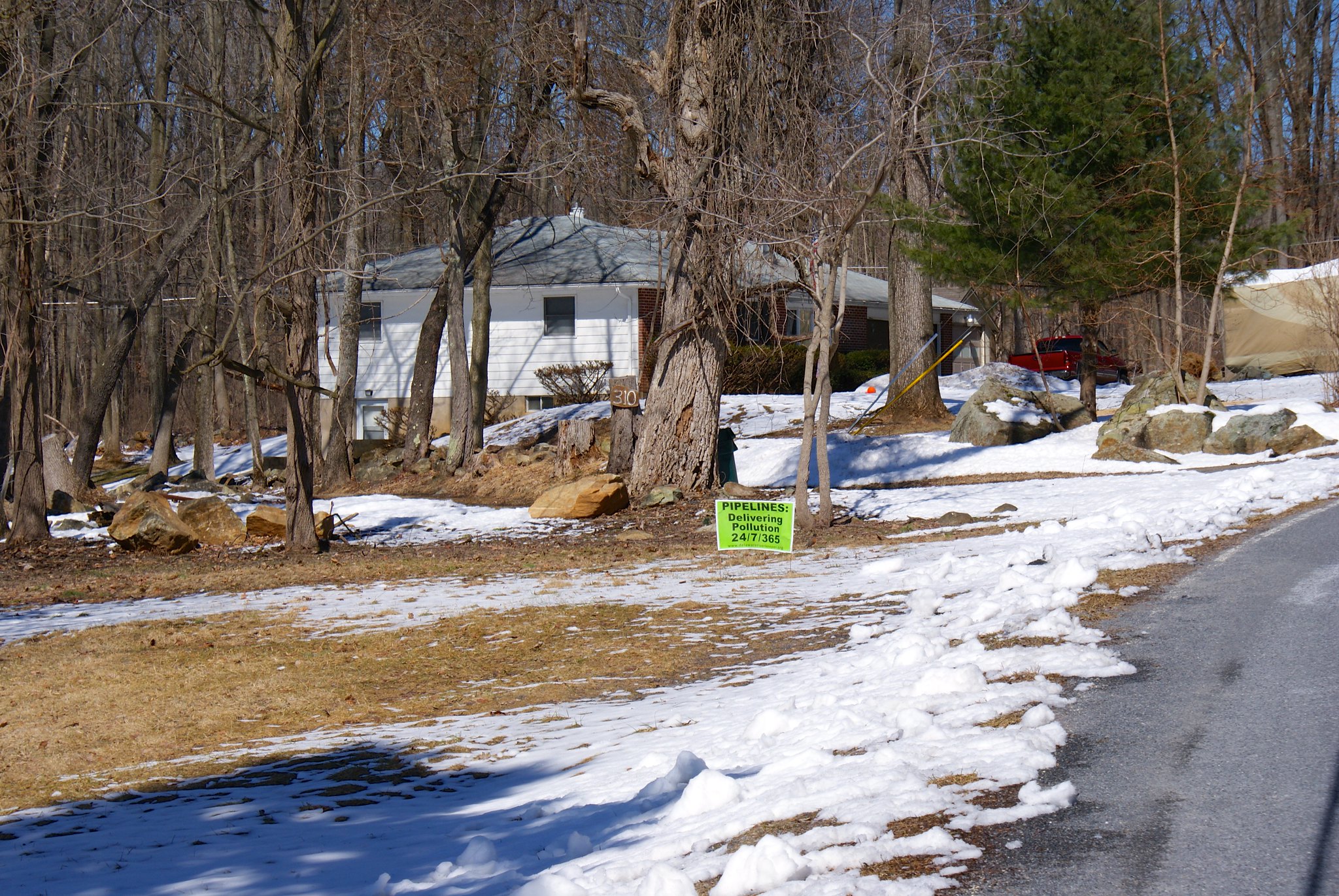
Shot 281 – Williams Twp PA, Raubsville Road to the North
A farm on Raubsville Road had both directions covered with their anti-pipeline signs. The open space was followed by a gentle up hill in the distance.
Shot 282 – Williams TwpPA, Raubsville Road to the South
Looking to the south from Raubsville Road. At the trees in the middle of the shot runs Fry’s Run, a creek the pipeline will be crossing.
Shot 283 – Durham PA, Raubsville Road to due South
Moving to a due-south shot on the road.
Shot 284 – Williams TwpPA, Raubsville Road to South East
Looking now to the South East.

Shot 285 – Williams TwpPA, Raubsville Road to due north
Looking due North now.
Shot 286 – Williams TwpPA, Raubsville Road to north west
Looking straight along the pipeline route to the north.
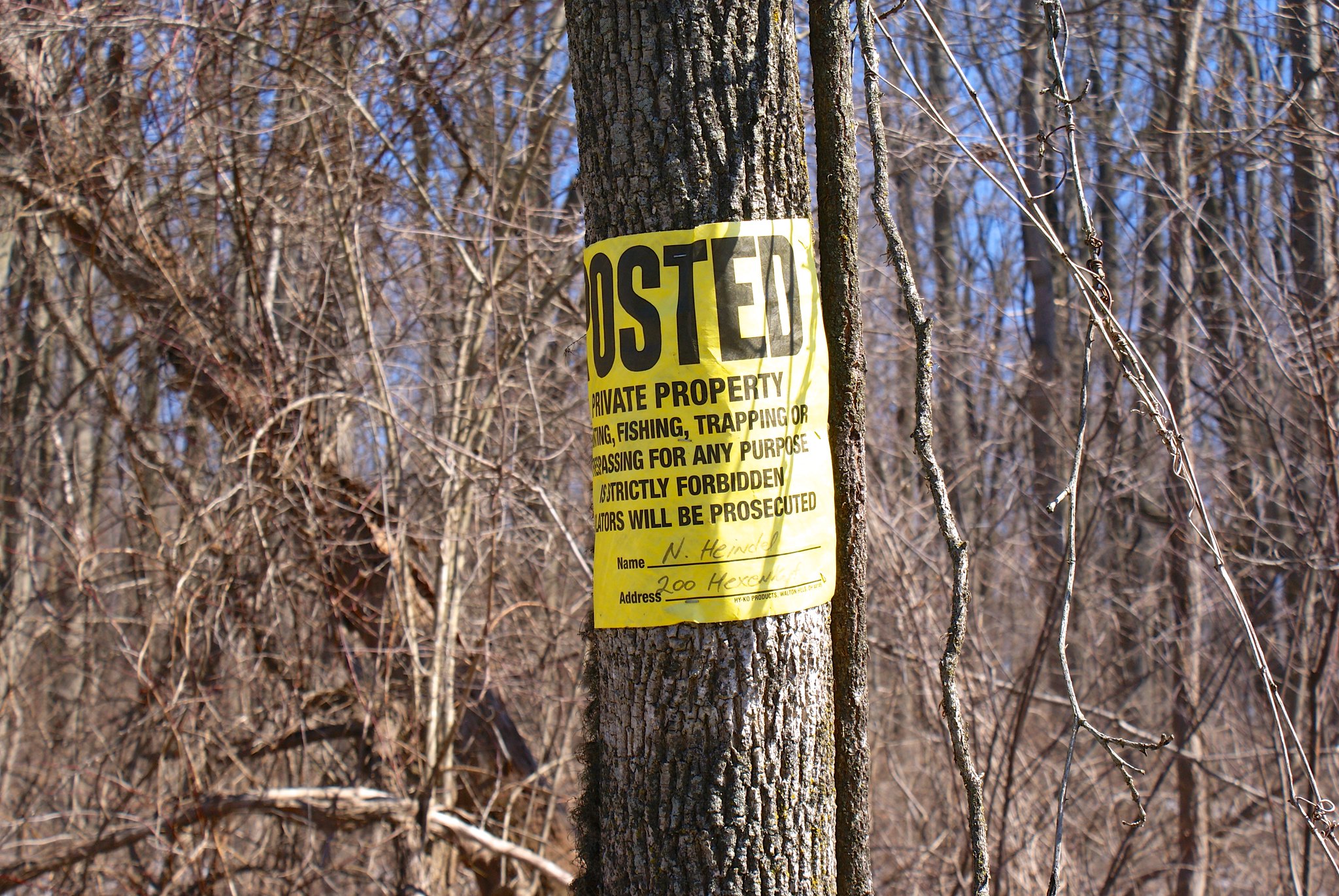
Shot 287 – Williams TwpPA, Hexenkopf Road Posted Sign
A posted sign over on Hexenkopf Road.
Shot 288 – Williams TwpPA, Hexenkopf Road to West
The pipeline kinks to a more east/west routing in this area. Here we’re looking from Hexenkopf Road to the West.
Shot 289 – Williams TwpPA, Hexenkopf Road to East
Looking to the east.
Shot 290 – Williams TwpPA, Hexenkopf Road to East
Looking east dead along the proposed pipeline route.
Shot 291 – Williams TwpPA, Hexenkopf Road anti pipeline sign
A house and anti-pipeline sign just to the north of the pipeline route.

Published by