
On Thursday I grabbed my trusty Sony Alpha DSLR, my phone, a notebook and pen, hopped into my pickup truck and set off on a quest to photograph as much of the pipeline route as I could.
I only made it to Frenchtown, but along the way I got some great shots of where the pipeline will be going through. Hopefully I’ll get through more this weekend.
I’ll be submitting the whole thing to the FERC in batches as I document it so they can see some of the sensitive areas the pipeline’s going through.
All pictures are also links to larger copies.
This first batch covers my immediate home area in West Amwell NJ and next door in Hopewell, NJ. I’ll continue to do these roughly 10 pictures at a time.
You can see the entire set in my flickr album here.
I wrote down the picture number of each shot along with its location in my notebook so I had a record of which shot was which. In total there are 157 just from this one trip so I’m glad I did!
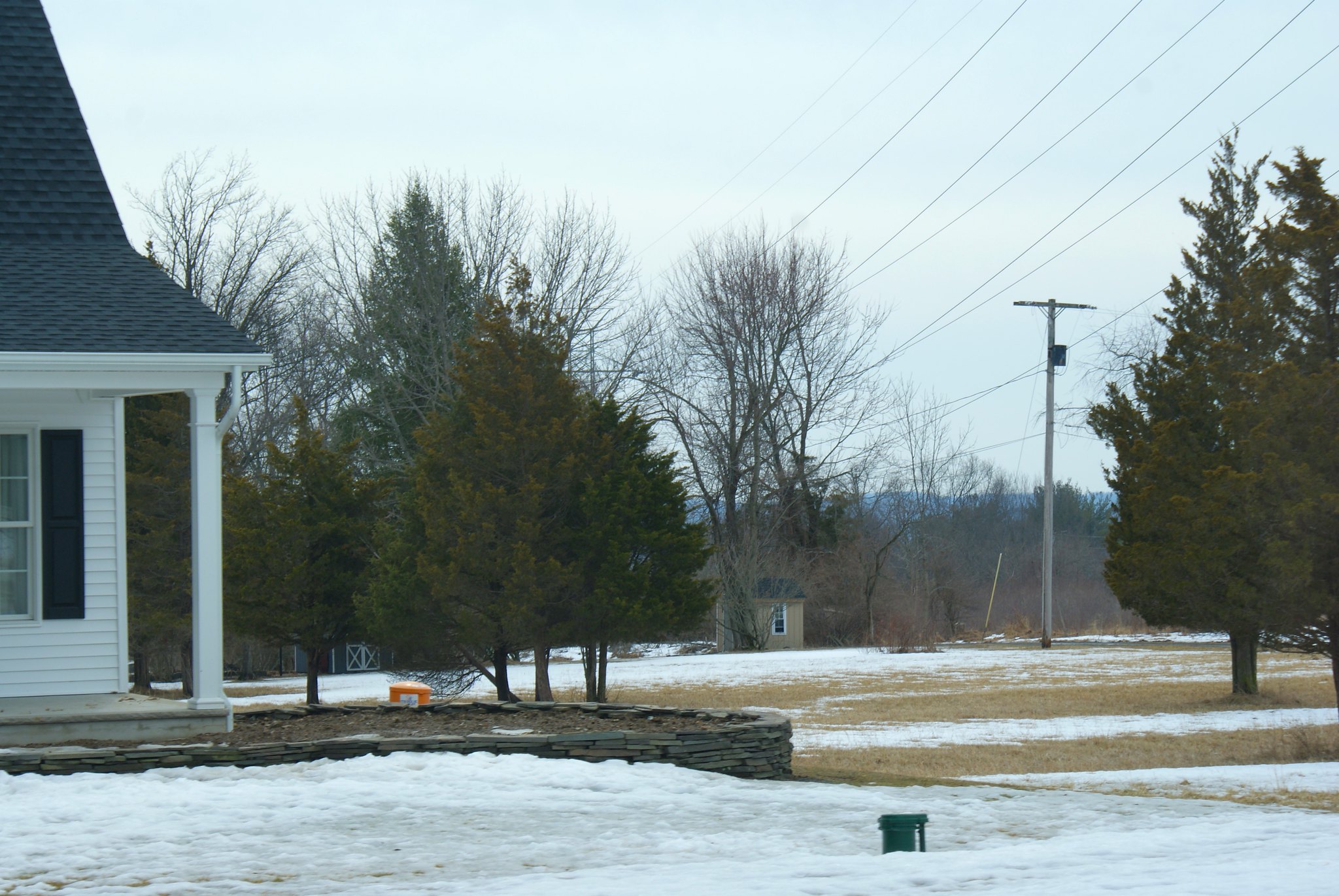
Horse farm on Hewitt Road
This is the horse farm across the street from my property. From what I hear the owner has been negotiating with PennEast and will be granting them an easement. The pipeline will be going around his house and barn but will tear up a lot of his fields where the horses currently graze. I’m not sure what he’s going to do with them during construction. The pipeline route will be next to the high voltage electrical towers.

Hewitt Road Crossing Driveway
On this shot you can see where the pipeline route (along the high voltage power lines) is crossing across my neighbor’s driveway. There’s a lot of this around here unfortunately, not sure what my neighbors are supposed to dow with their houses during construction.

New house on Hewitt Road
This is a new house my neighbors built about a year ago. It doesn’t show up on google maps yet so PennEast may not be aware of them. They have an adorable hound dog named Brody and just had a little baby shortly after they moved in. The pipeline is is slated to cut across their property.
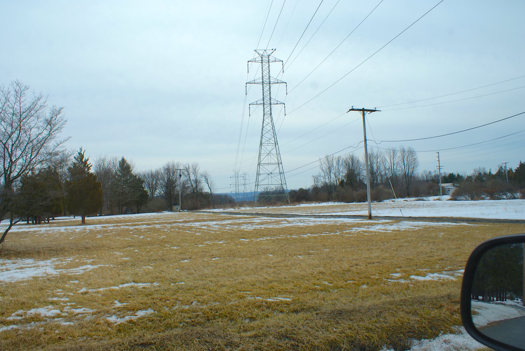
Hewitt Road looking south
Here I’m looking down the pipeline route along the wires, it shows where the route will cut my neighbor’s driveway and then head down the side of goat hill, which is somewhat steep.
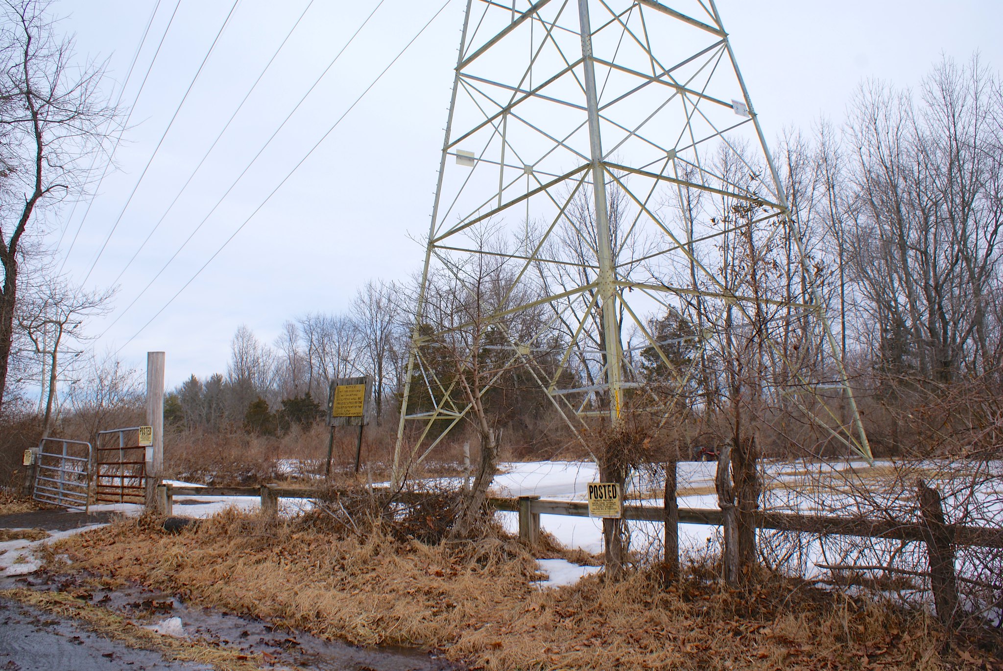
Hunting area on Goat Hill Road
This area is owned (or maybe leased, not sure) by a hunting group. The pipeline route goes right through their staging area where they park their trucks before heading out to hunt. I can’t imagine they’re too happy with the pipeline ripping up the area and making it unusable for weeks.
Goat Hill Road looking South
Goat Hill Road has a 90 degree kink in it, this is a shot from that kink looking south along the road and also a very large horse farm. The pipeline route (the electrical towers) will be cutting across their entire farm.

Goat Hill Wider shot of Hunter area
A wider shot of the hunter’s area. That’s my truck in the foreground. The pipeline actually will cross Goat Hill twice (!). Traffic in our area is going to be a mess, the pipeline is cutting across all of our major roads. After Sandy it was a nightmare to get anywhere due to trees down. I wonder if this pipeline is going to be as bad or even worse for getting around.
Goat Hill Closeup looking south
A zoomed in view of southern view. About halfway down this route the pipeline route will take a sharp left towards Baldpate Mountain.

Goat Hill, another zoomed shot
If you look through the tree on the left, in the distance you’ll see snow lines on the traprock quarry. The pipeline is going to be fairly close to that quarry, where they regularly do blasting.

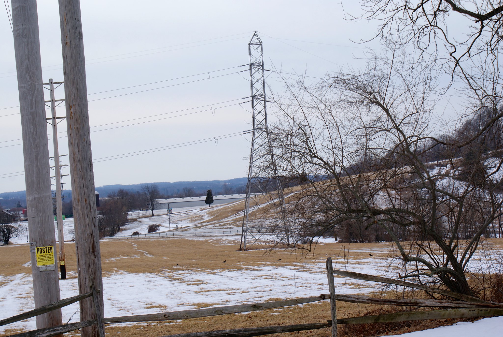
Goat Hill Road, looking west
This is down the road a bit, on Goat Hill looking to the west towards the Delaware river. The Delaware’s only about 1.8 miles from here, all down hill. So if they’re not careful tailings from the blasting and digging during construction will flow right down into the river.
As with just about every farm and large tract of land in this area, there are “Posted” signs everywhere. Given the proclivity for hunting and property rights around here I’d suggest PennEast not try to trespass anywhere!

Published by