
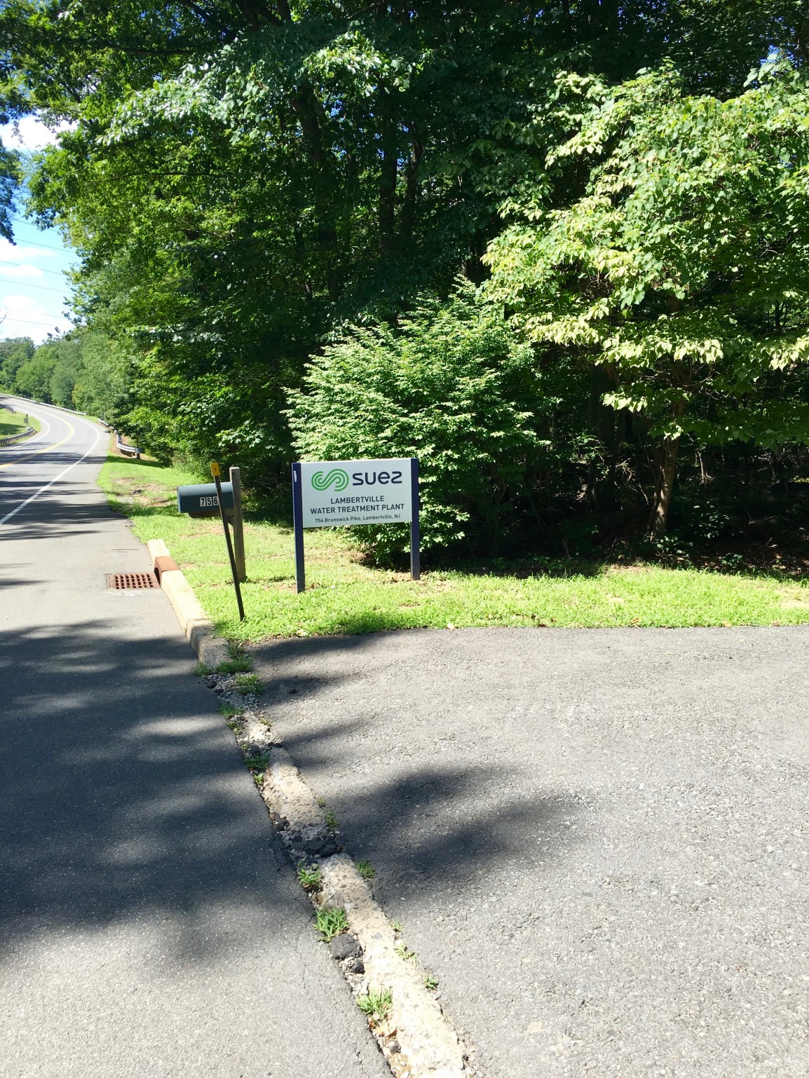
The following are pictures of the proposed route near the Swan Creek Reservoir. The reservoir is owned and run by Suez S.A., and serves as the drinking water for the majority of the residents in Lambertville.
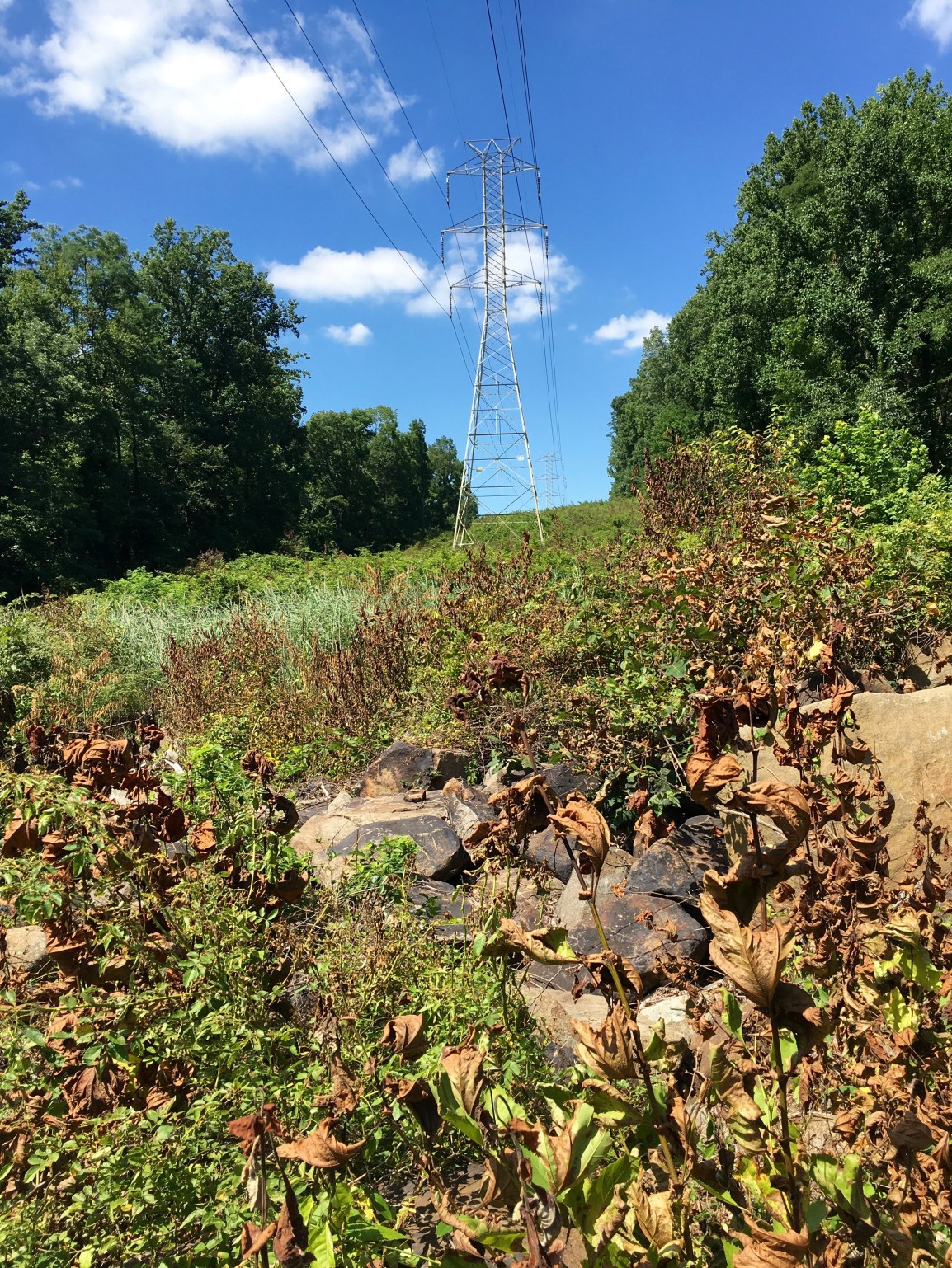
If you look at just one picture in this series, look at this one. This is how steep the slope is – the slope they will be DOUBLING in width, and be blasting down to 7-9 feet through dense diabase bedrock. Only a couple of hundred feet from the reservoir dam.
This is the Suez Entrance on 518, the dam and reservoir is a few hundred yards in from the road.
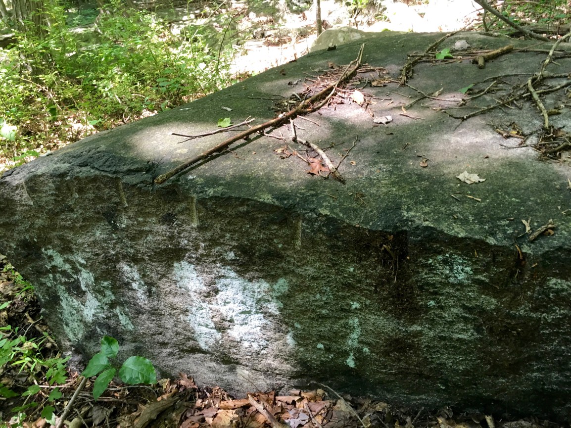
There are quarry pits back here, just like I documented on the other side of 518 near Hewitt Road. These goes back to the revolutionary war times when they chiseled out stone by hand. Here you can see the chisel marks on a stone.
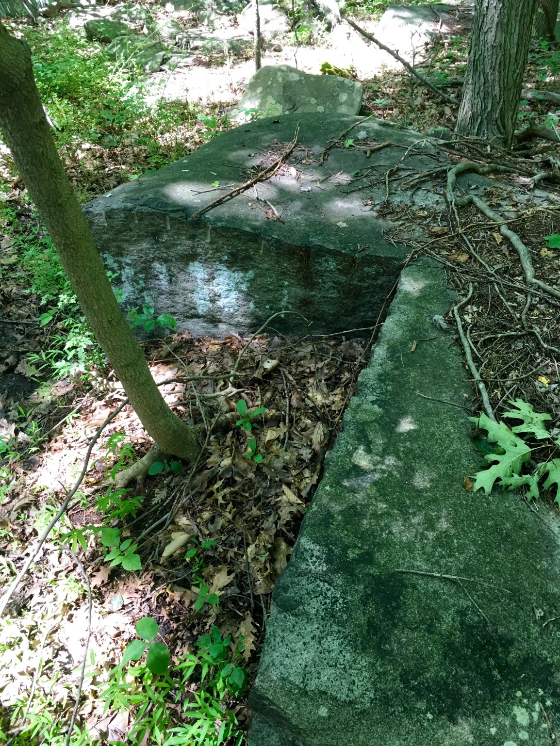
Here is a zoomed out version, you can see someone cut a nice square out of the rock.
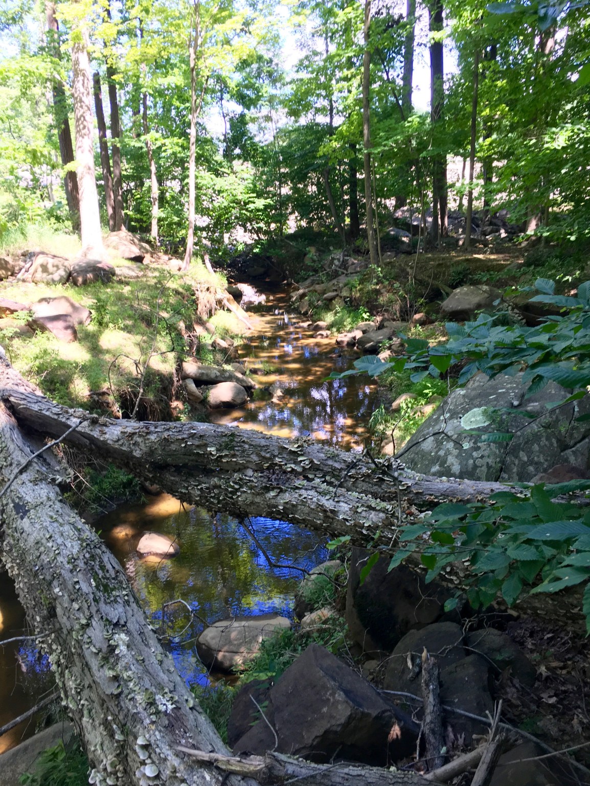
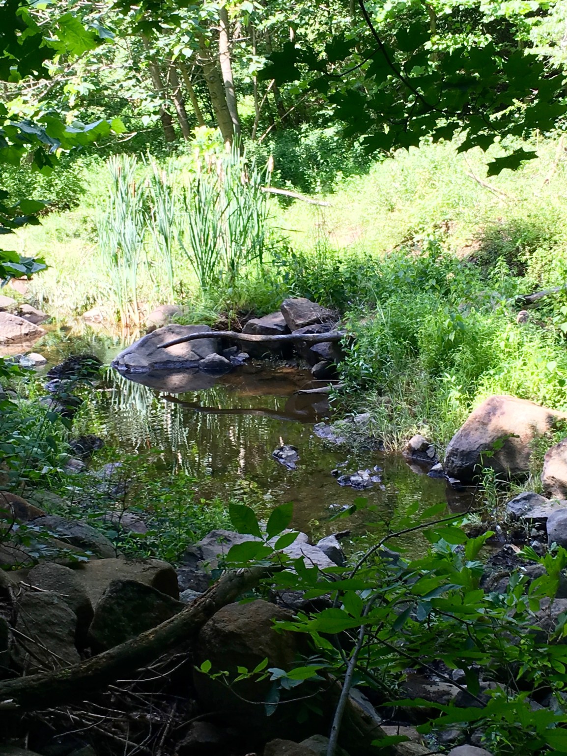
And here is Swan creek near the reservoir. The reservoir is the bright open sky in the background. As you can see from the depth of the banks it can REALLY get rolling during intense rains or if they do a release from the dam.
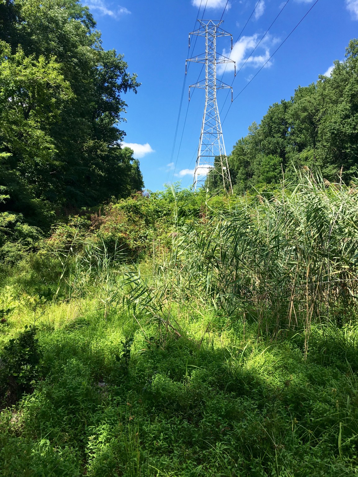
Here is the existing cut. The pipeline doesn’t go here – oh no! They are going to more than double this existing clear cut, but cutting out the trees on the left of this picture.
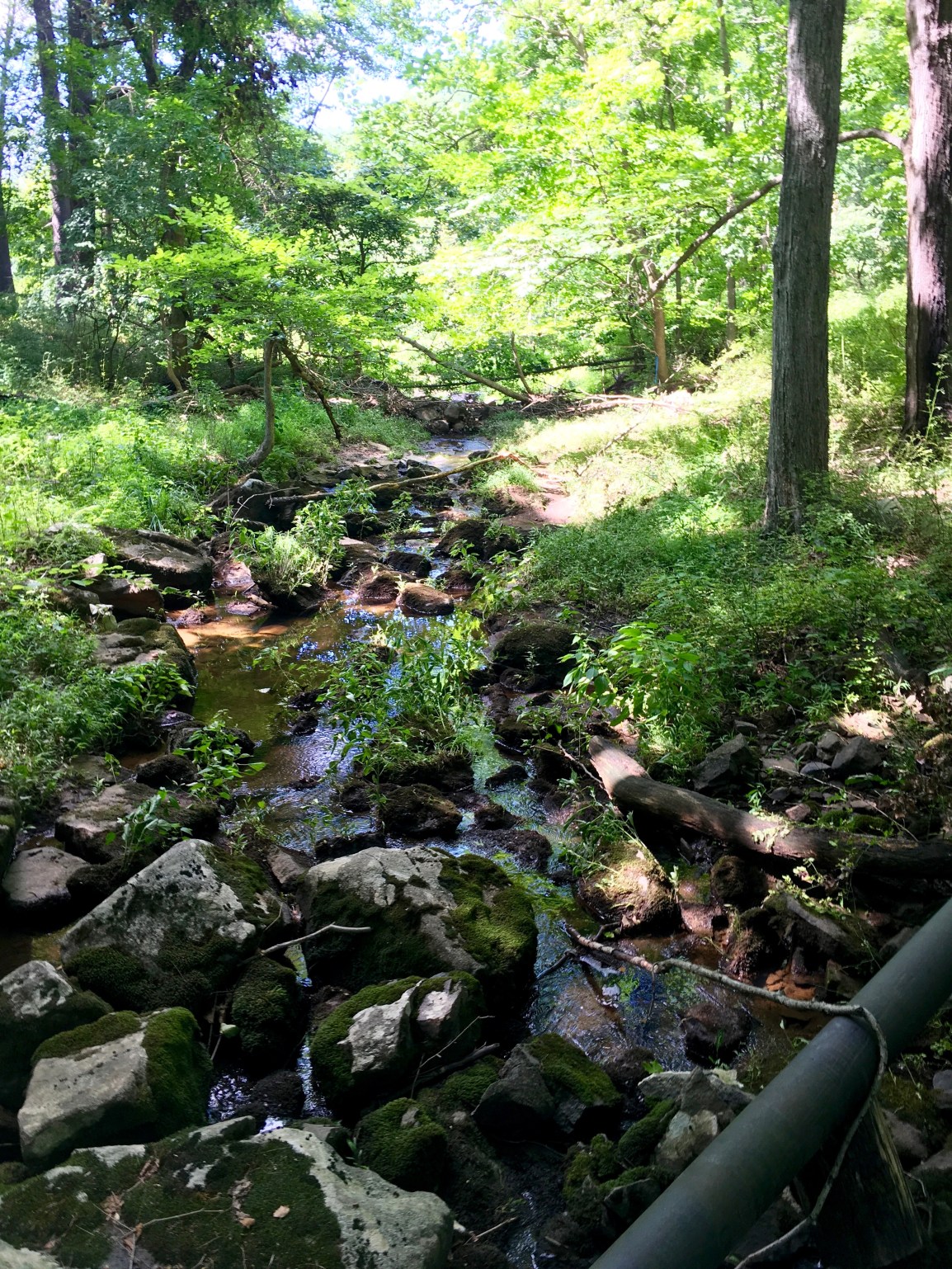
This is what Swan Creek looks like where it’s traversing the existing clear cut area.

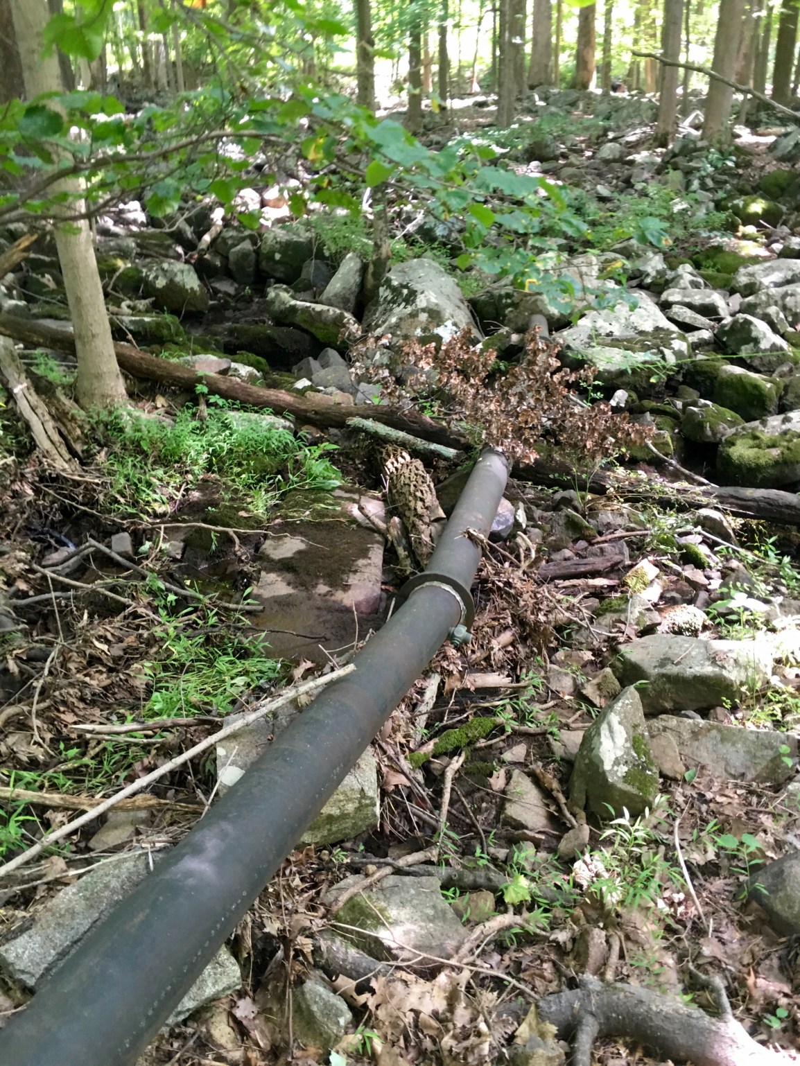
This is back in the trees where they will be cutting down to the dirt and trenching through the stream. You can see a questionable drainage pipe going through here.
Another angle of part of the drainage connections here.
There’ll be trenching about here.
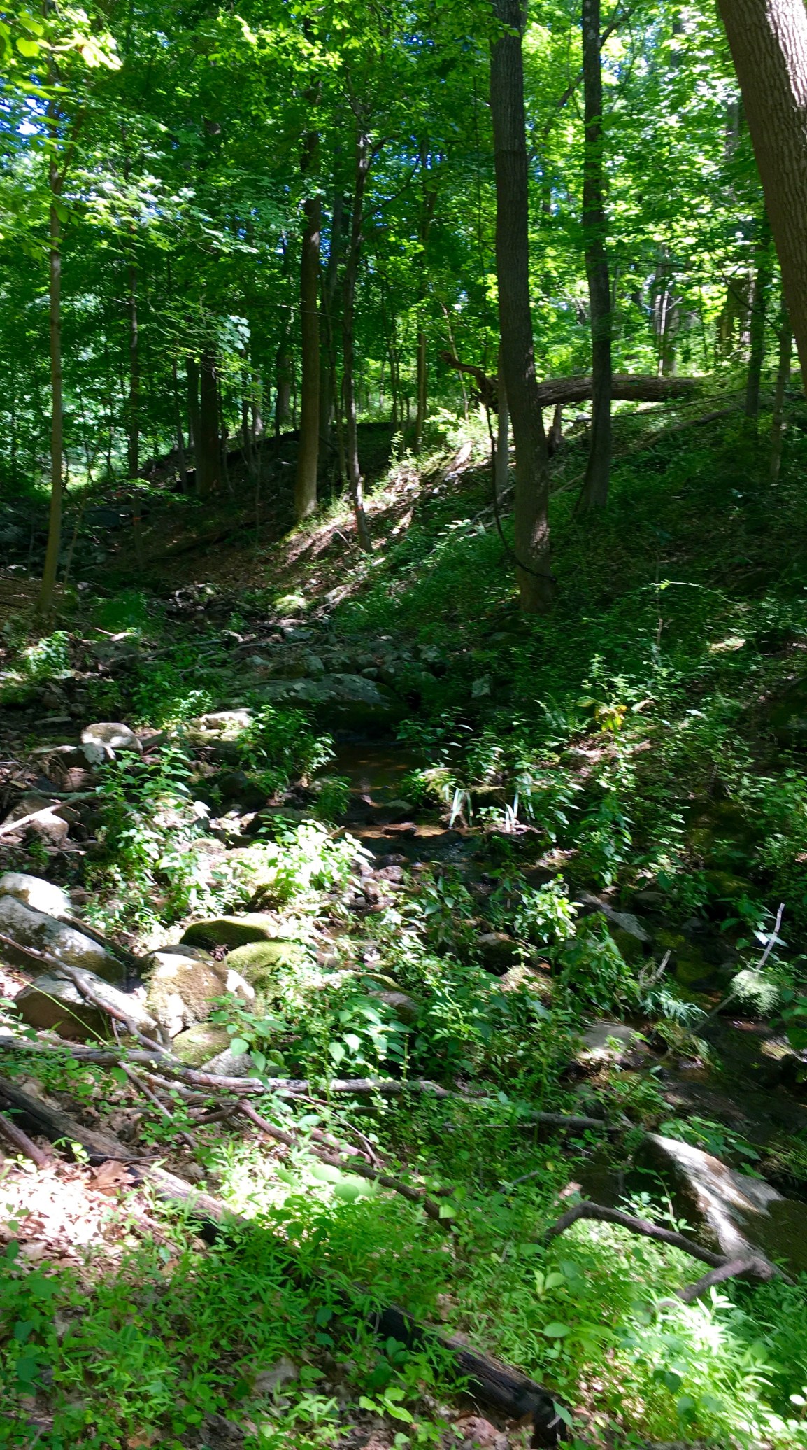
And these wetlands are immediately downstream from the trenching area.
And here’s the other side of the cut. This is all massive boulders, wetlands, the stream itself, vernal pools, and old growth forest. All of it will be cut down to nothing. A big fat doubled corridor for erosion, silting, flash floods, and whatever else the pipeline has in store for us.

Published by