Photographing the pipeline route, Part 13: The last part of the New Jersey Route

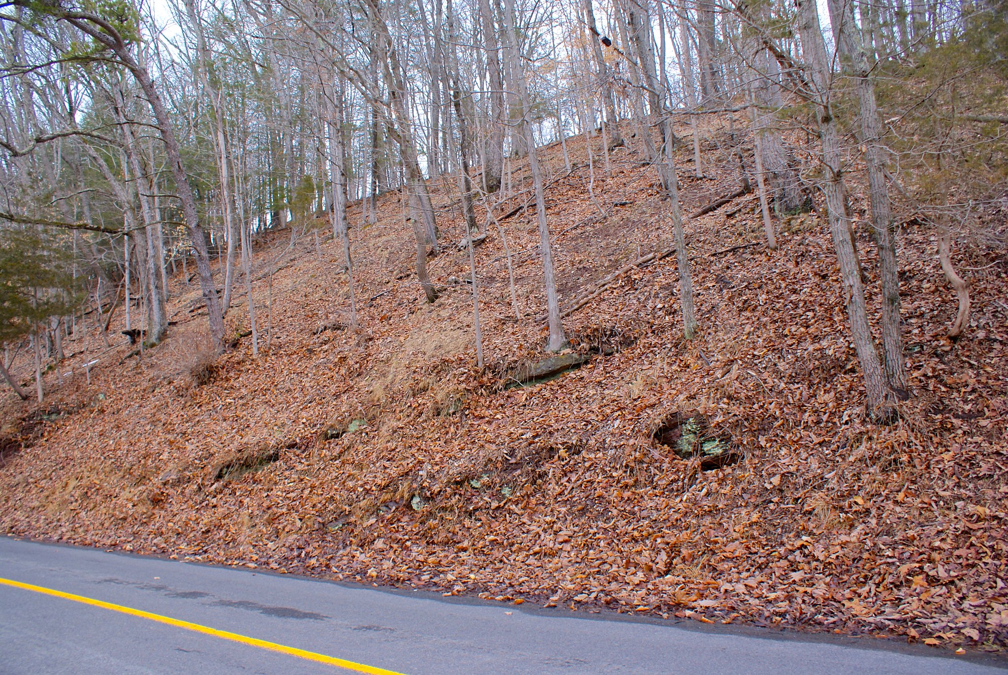
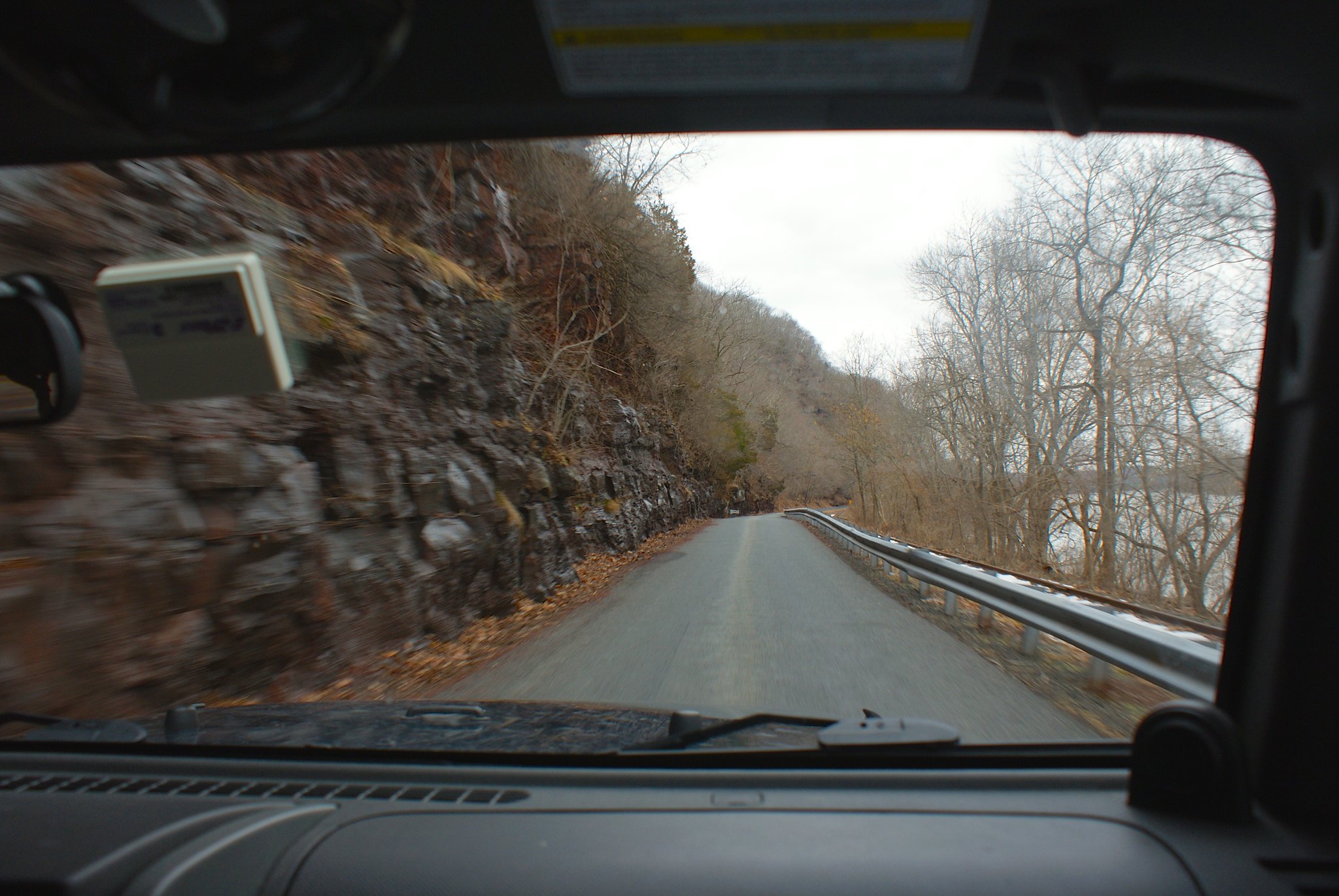
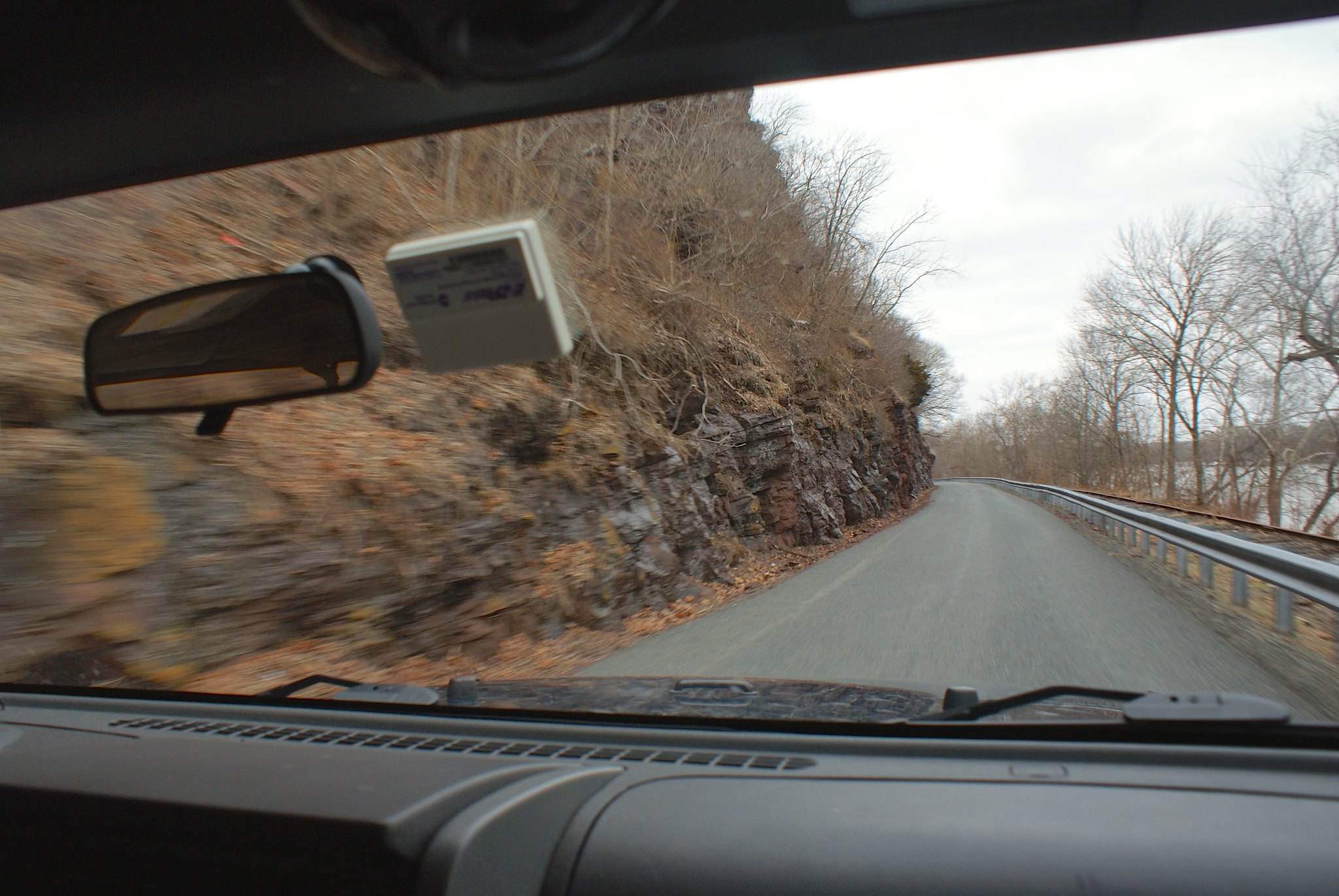
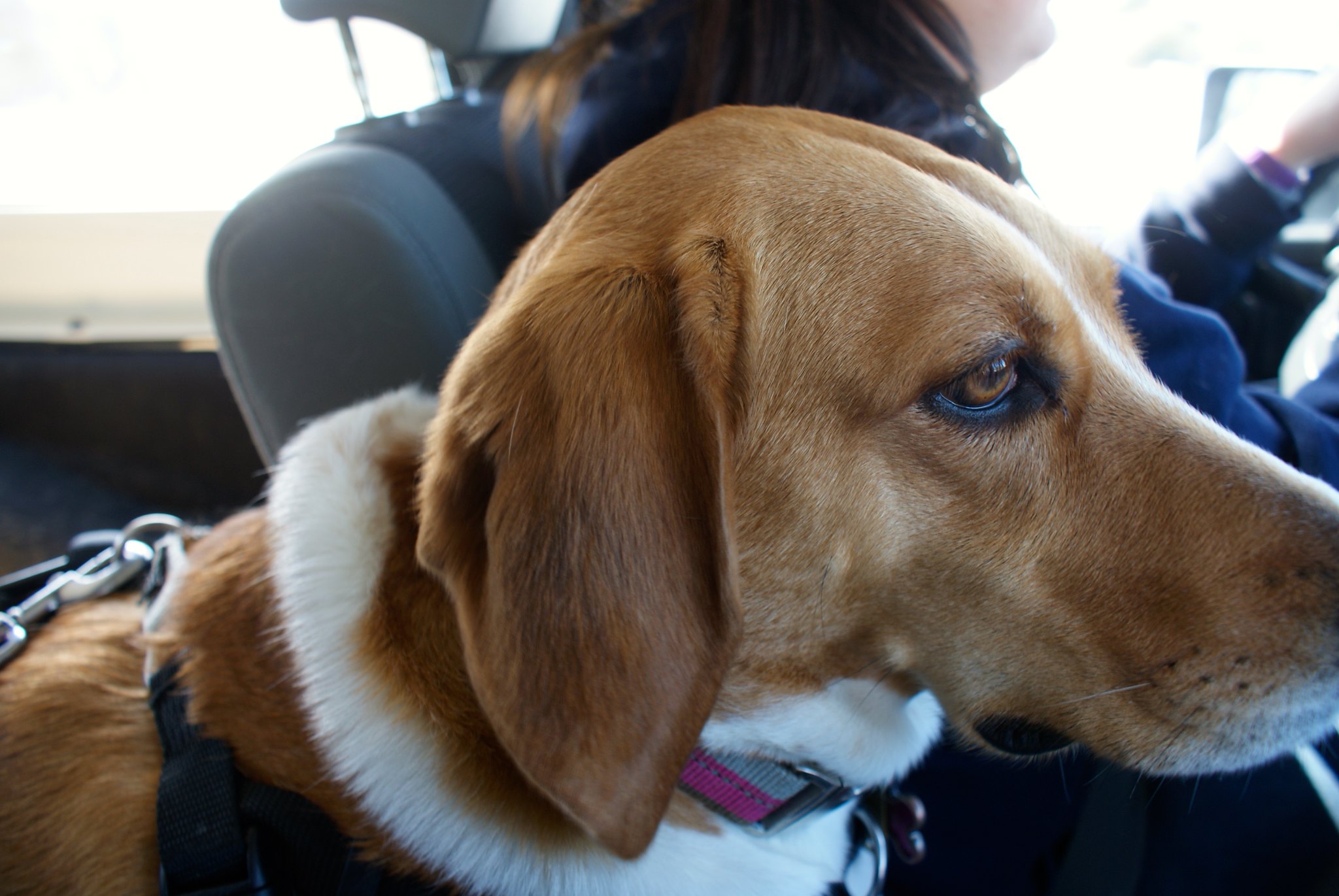
The last part of the pipeline route has us traveling in a westerly direction towards the Delaware River. It’s some of the hilliest country yet with some very narrow roads, scenic views, and lots of exposed bedrock. My helper Fern has a stoic look about her; I think she knows she’s in for a long ride in the jeep today.

We drove along 519 in the Northern part of Millford, and again as in so many places you could see the bones of the mountains peeking through the soil and coming ride up to the side of the road.

Navigation has been a challenge, even with GPS, because many of the roads and road signs are like this:

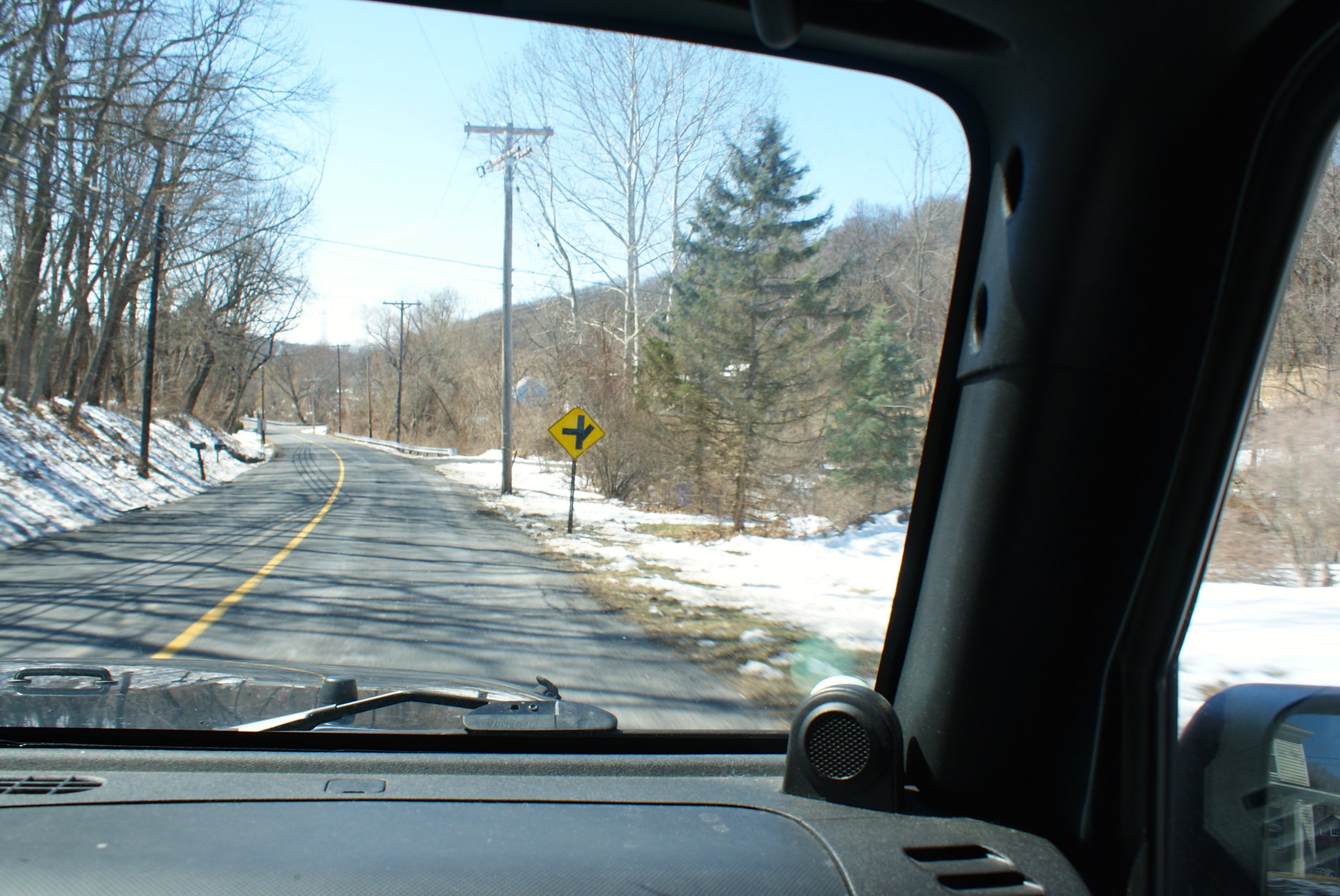
Many times you don’t know you missed your turn until you see your little red dot zooming past it.

Shot 218 – Crabapple Hill Road
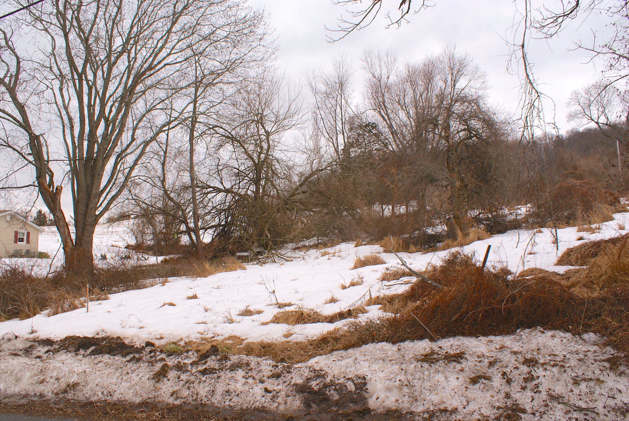
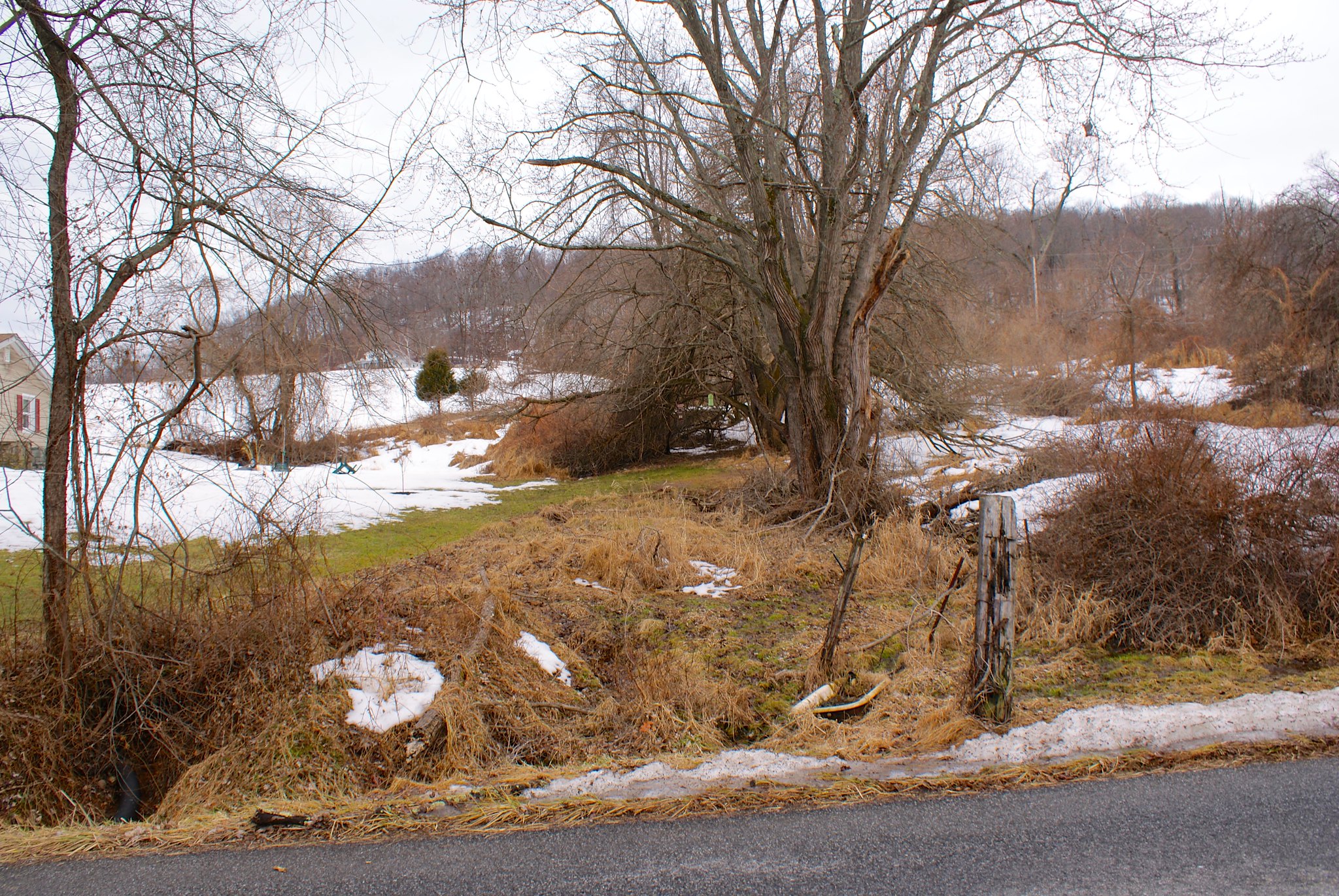
Our first destination was Crapapple Hill Road, a very narrow windy little bit of a road with some spectacular views of the mountains across the Delaware. This is the country the pipeline is going through!

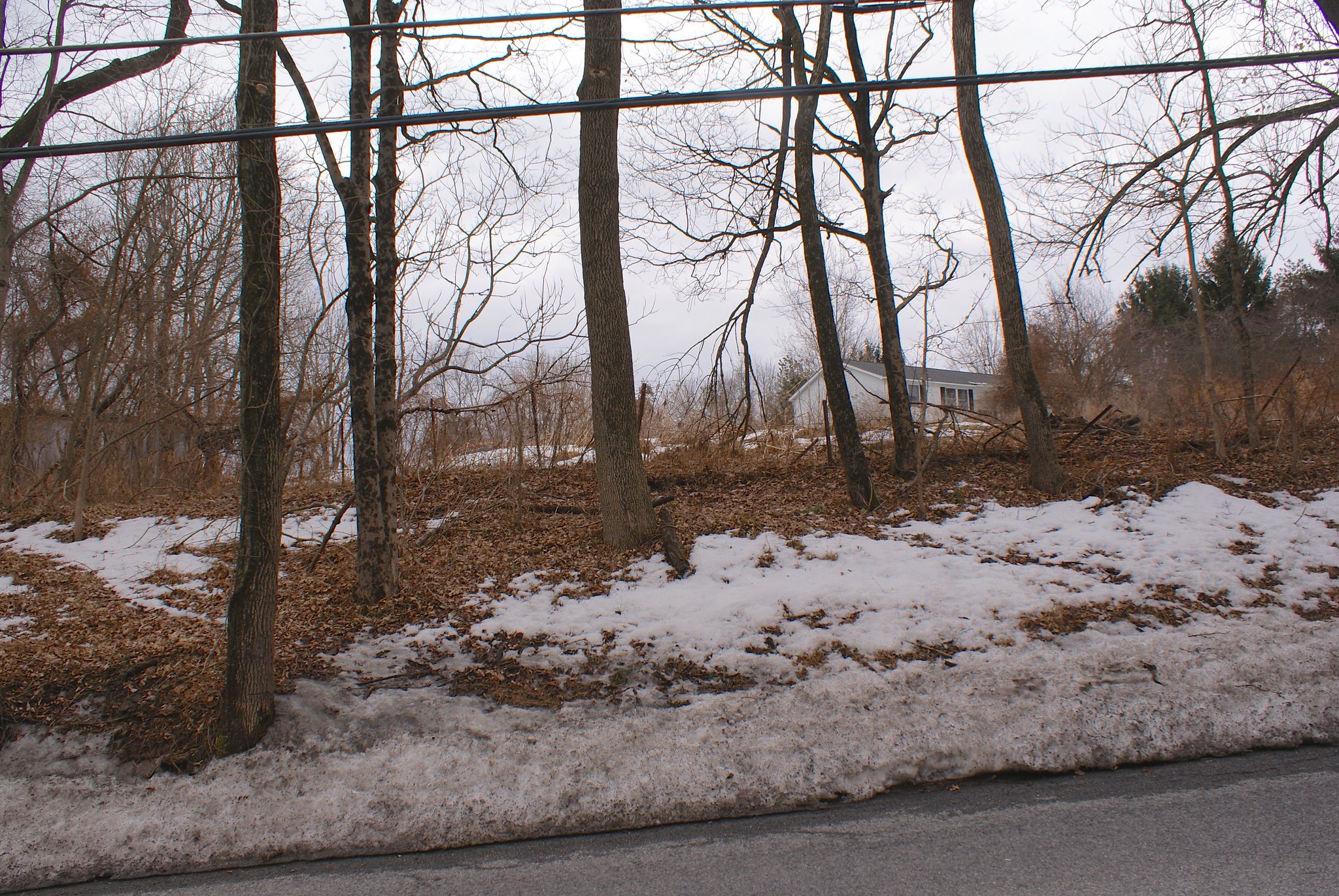
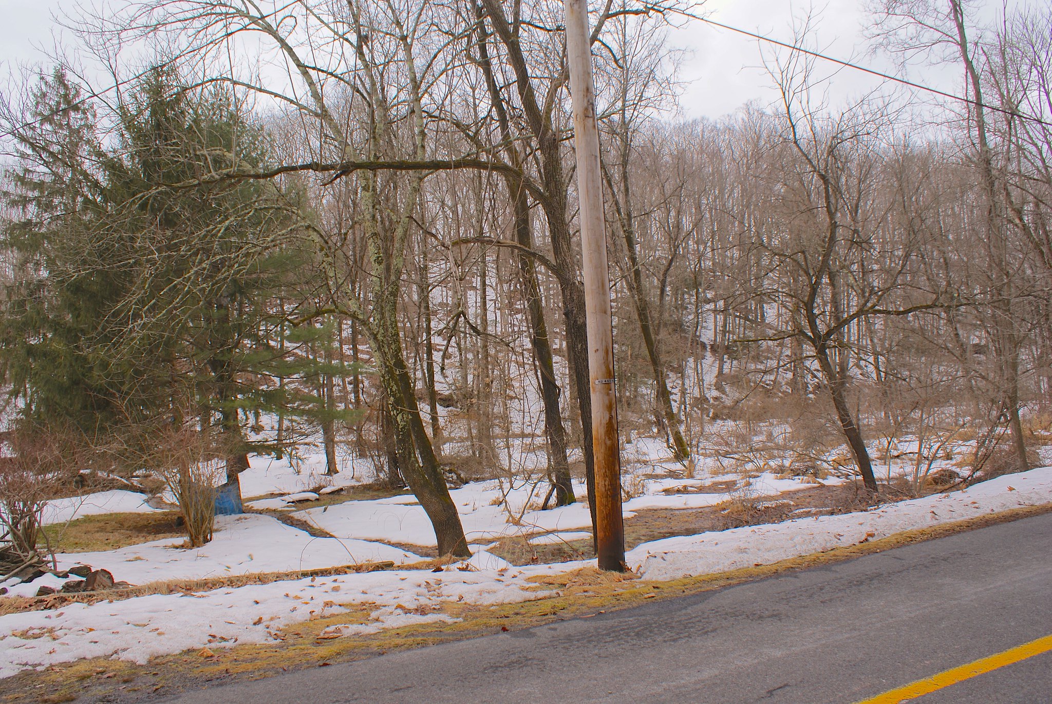
Shot 220 – Crapapple Hill road looking East
A view of the east at the pipeline route on Crabapple Hill Road. Yet another very steep slope and a virgin cut through the forest. More segregation of wild life, more erosion, more damage to the ecology:

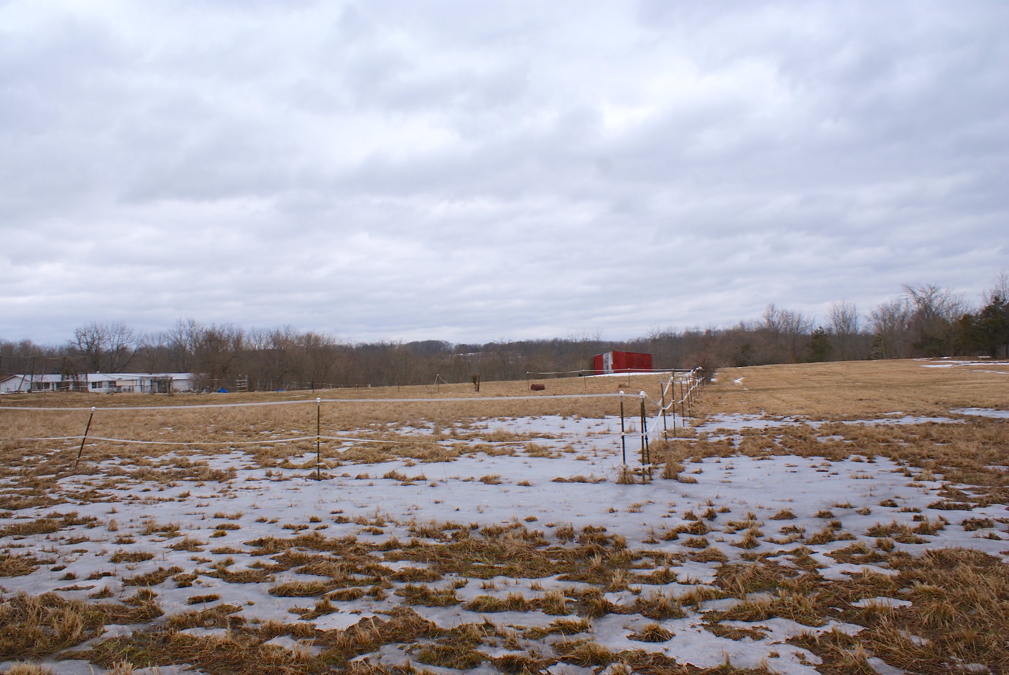
Shot 221 – Crabapple Hill Road looking south
Looking south along the road.

Shot 222 – Crabapple Hill Road Hill head on
Looking head on on the hill to the east, with the jeep in view. This shot shows you just how steep this hill really is.

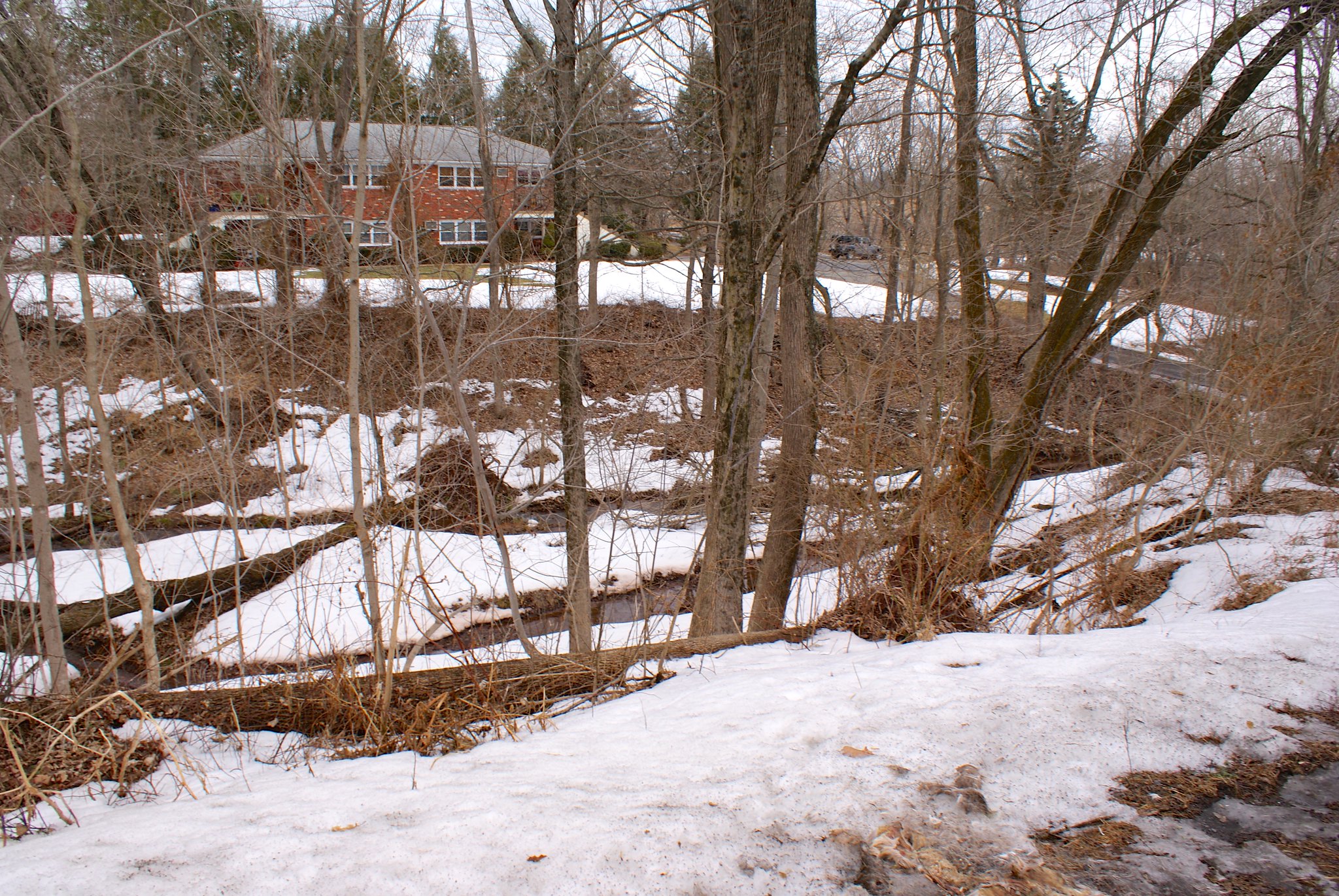
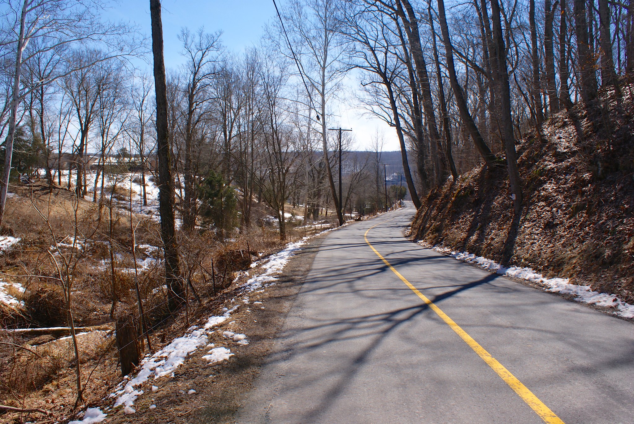
Shot 226 – Crabapple Hill Road to the west
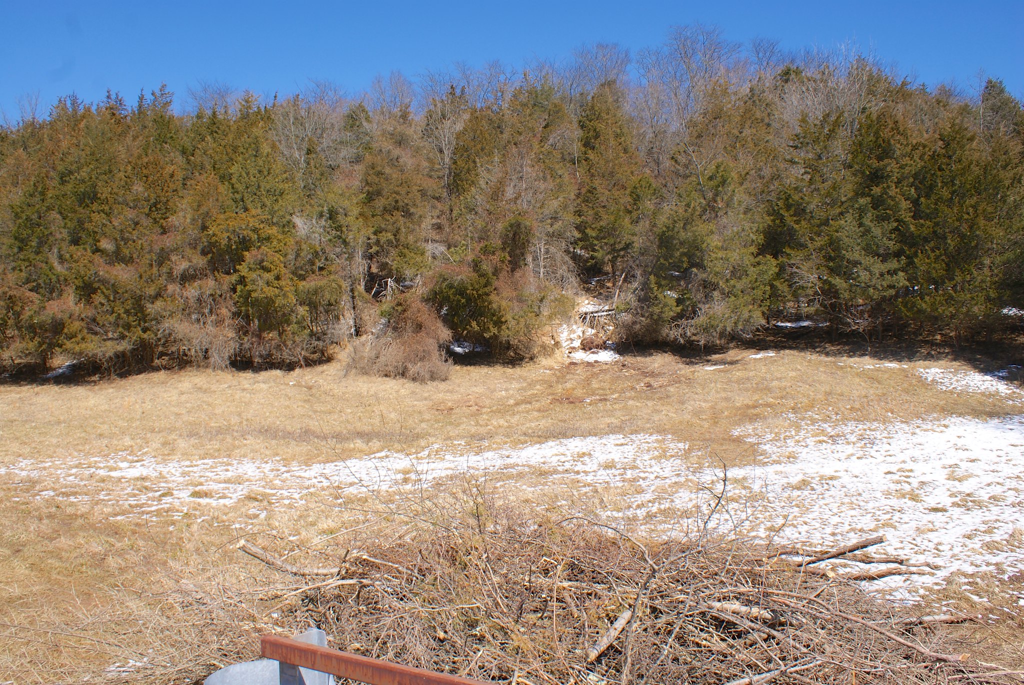
Looking west along the pipeline route. More forest, more hills.

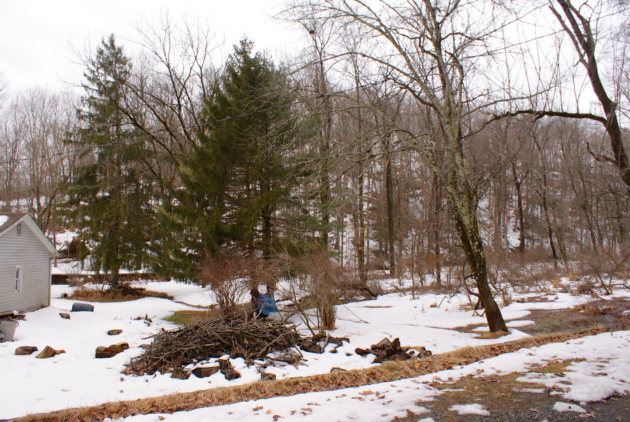
Shot 229 – Phillips Road looking West
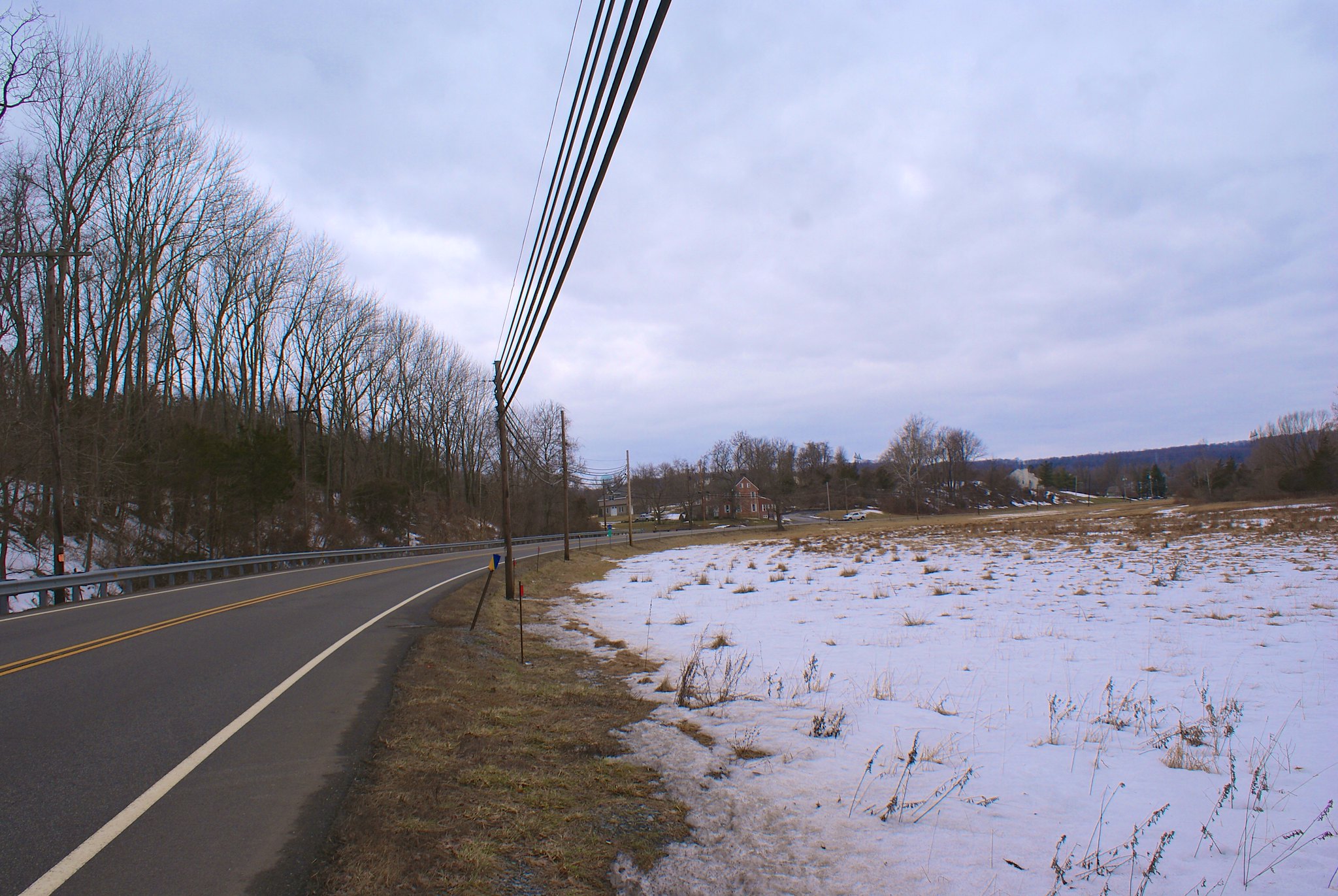
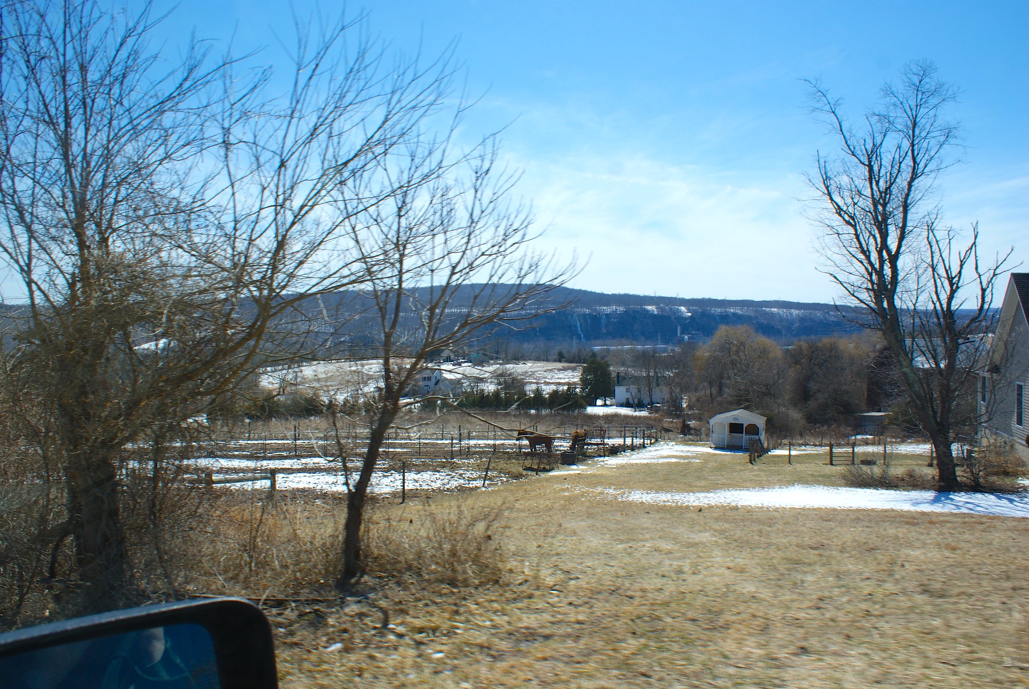
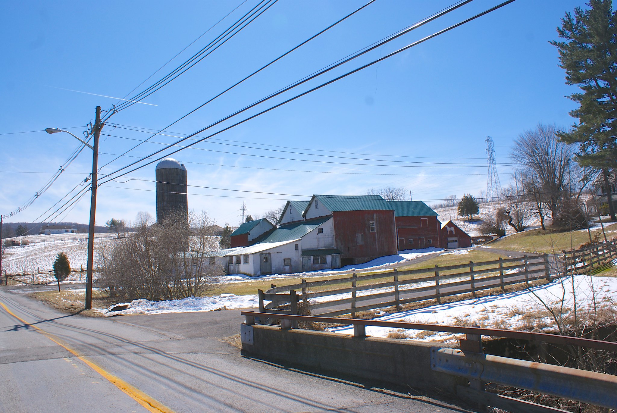
We move on to Phillips Road at the site of a farm. The pipeline will be crossing the farm and a small stream here.

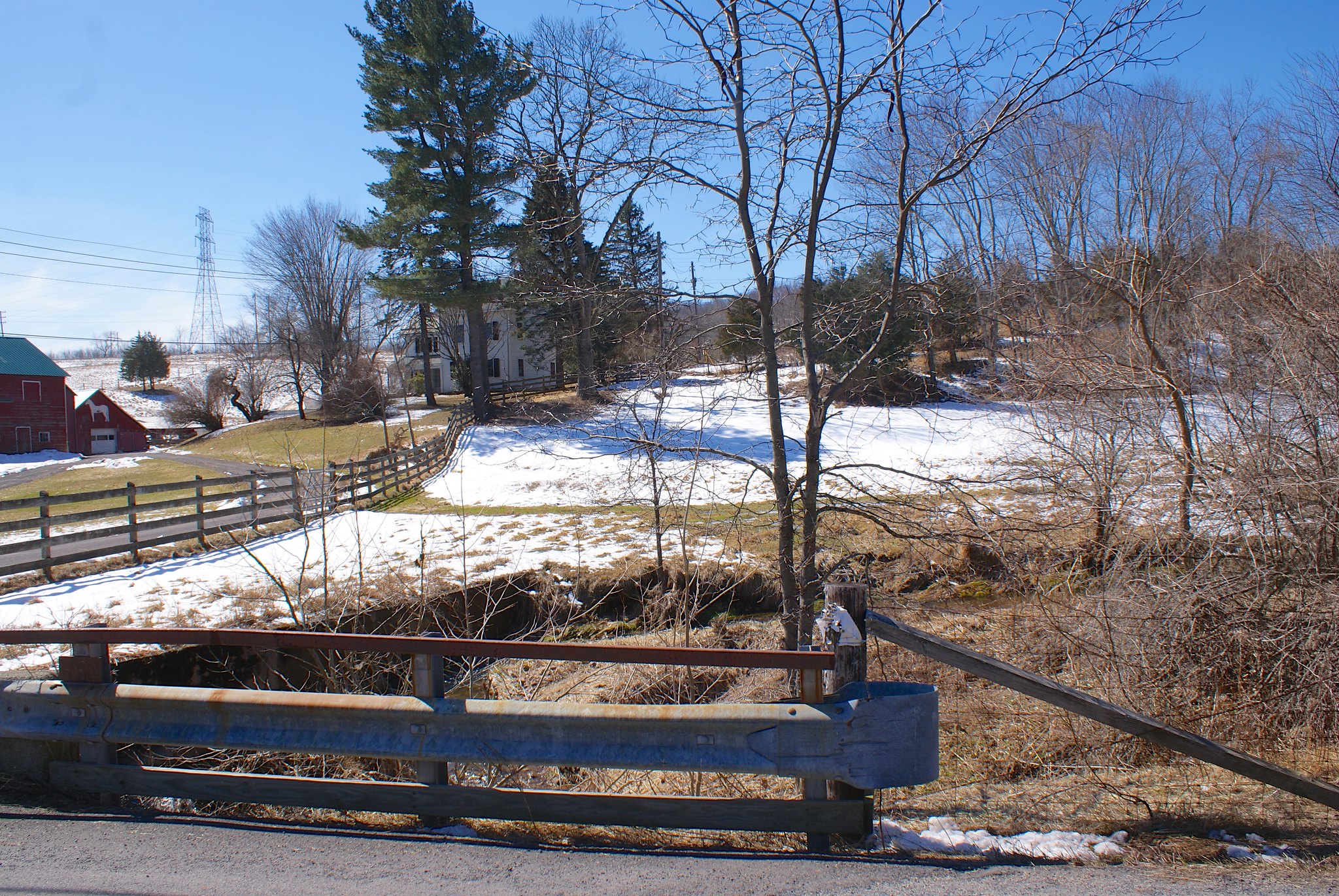
Shot 230 – Phillips Road looking south west
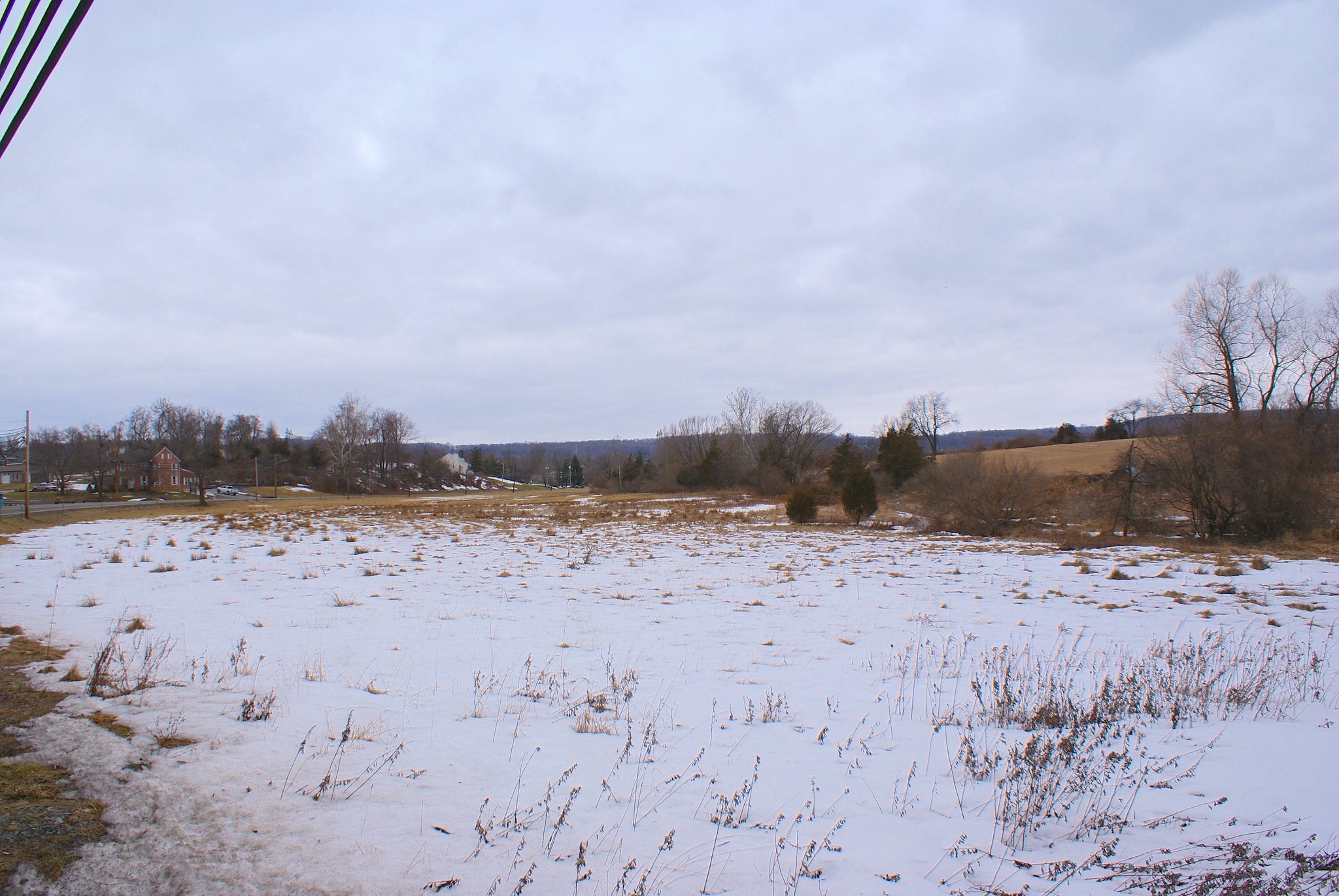
A shot of the farm.

Shot 231 – Phillips Road looking East
The view to the east along the pipeline route.

Shot 232 – Church Road to the east
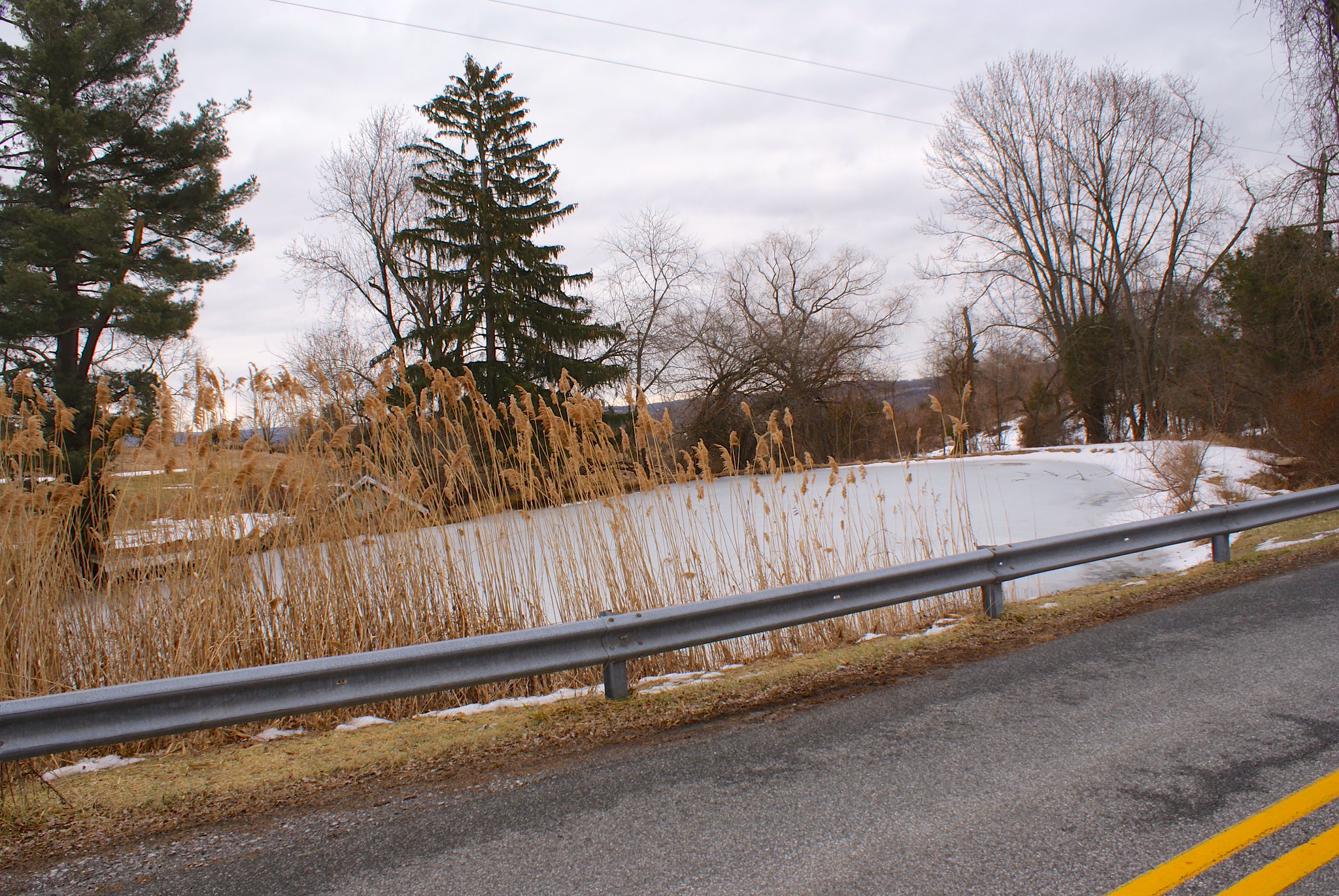
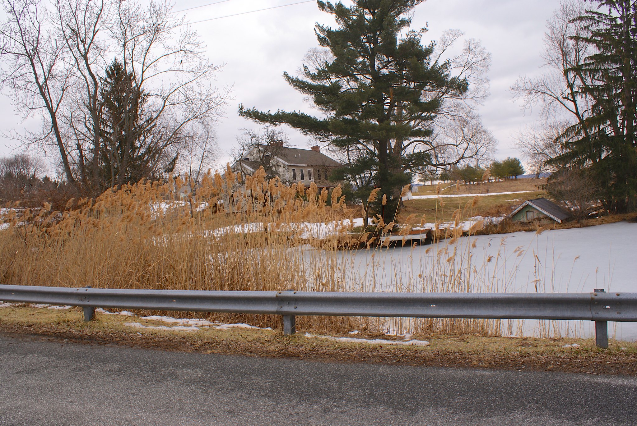
Next up is Church Road, a fairly major road for the area.

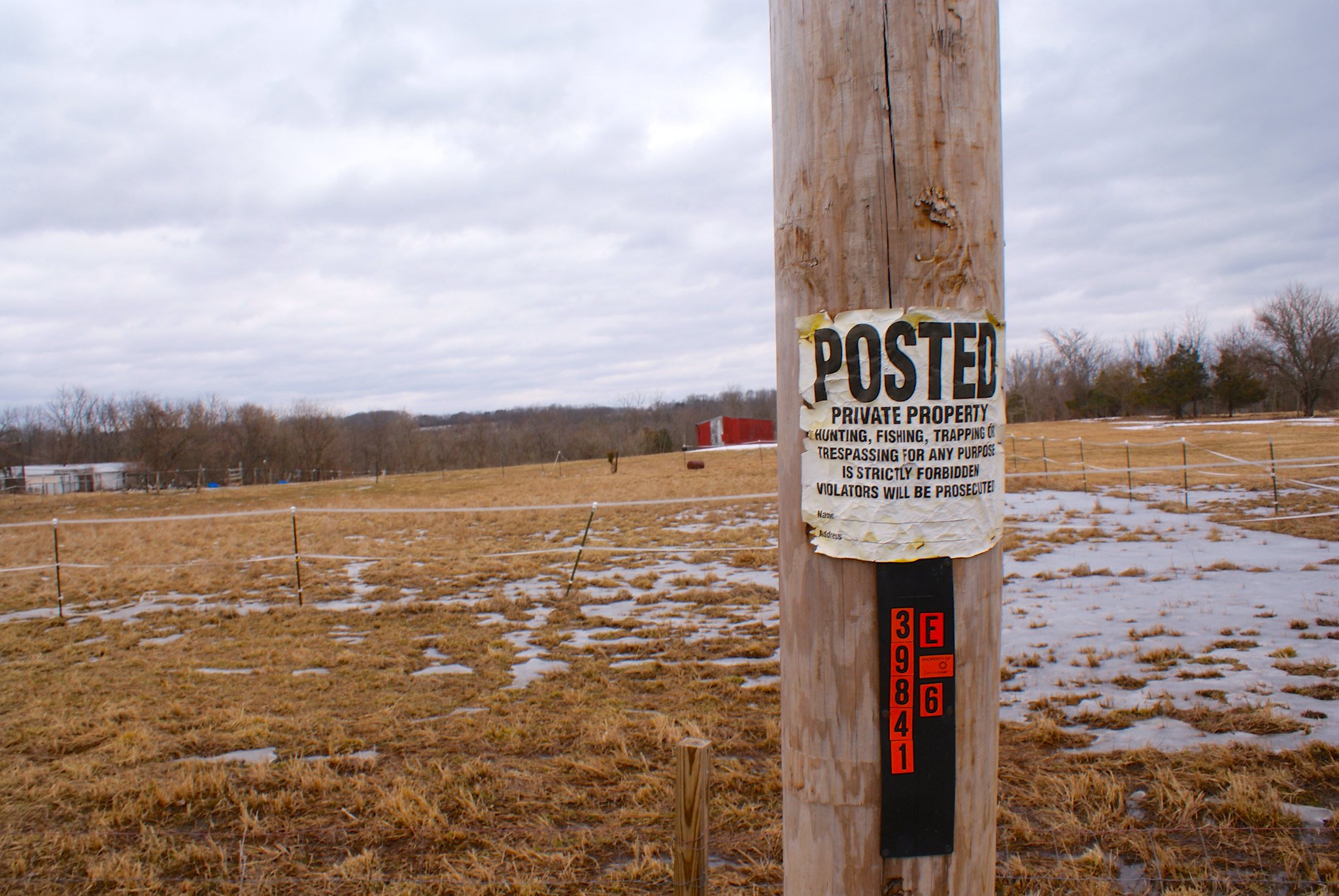
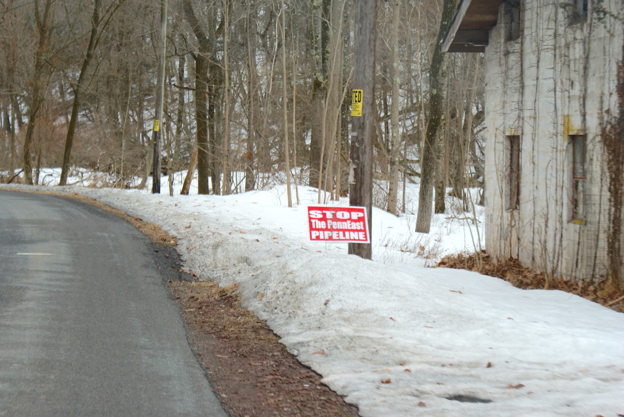
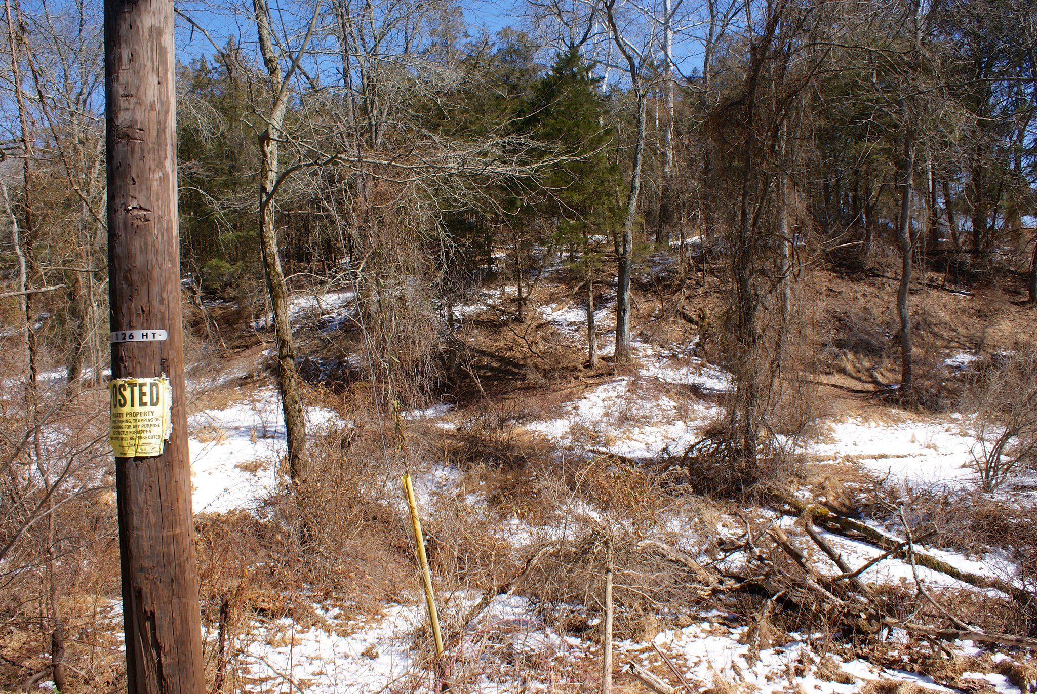
Shot 233 – Church Road posted
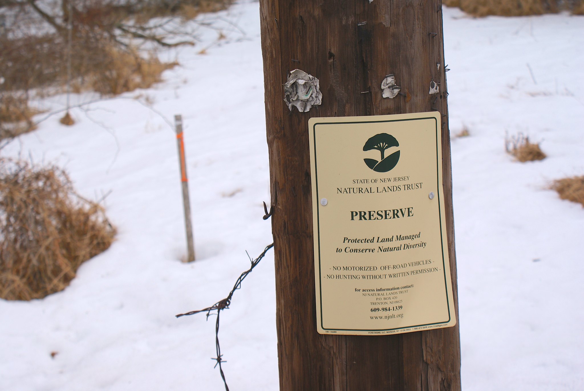
A posted sign on Church Road along the route.

Shot 235 – Church Road to the west
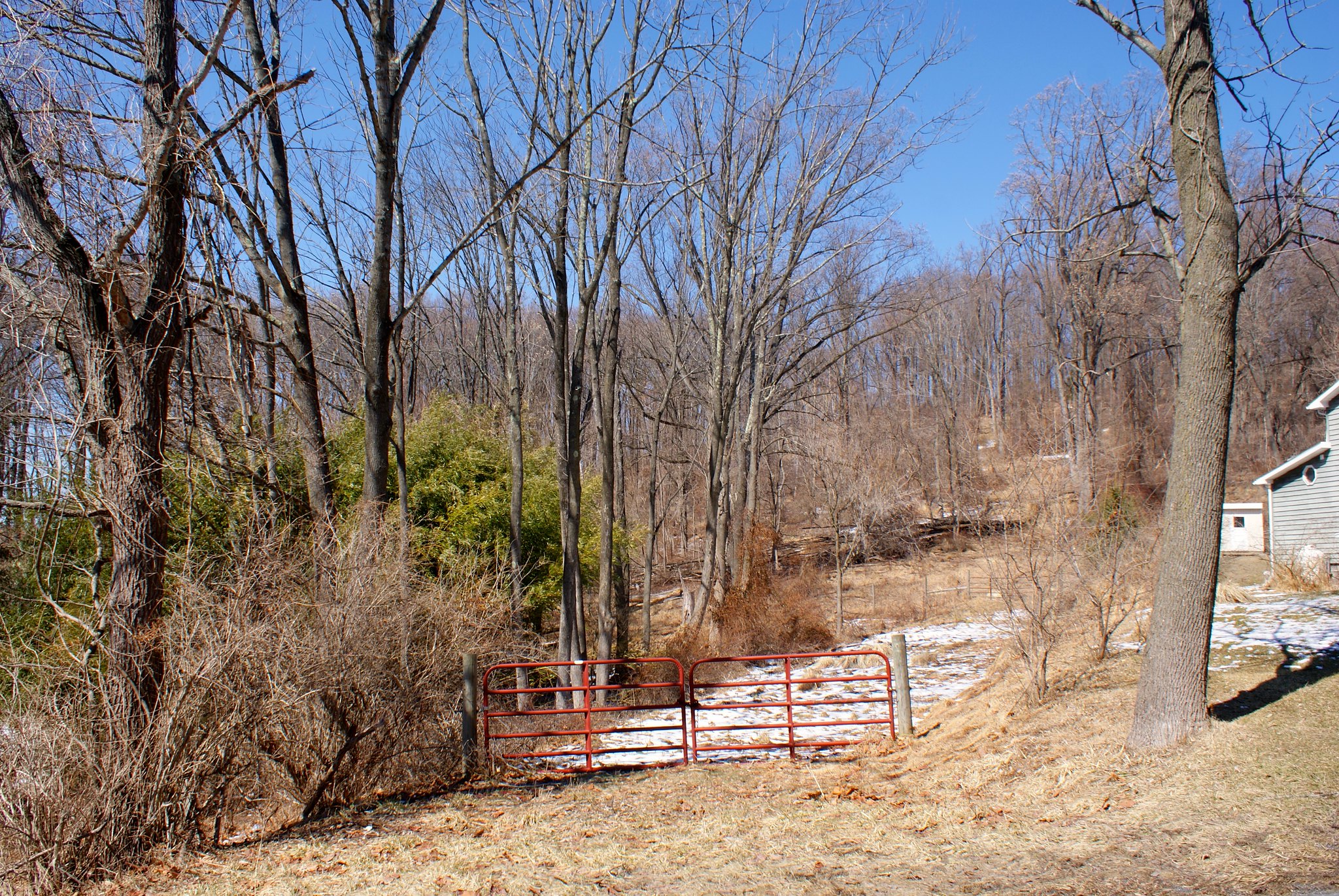
Looking to the west on some kind of access road for a farm or residence.

Shot 236 – Church road to the west alternate angle
The pipeline route seems to be somewhere between the gate to the right and house on the left.

Shot 238 Riegelsville Millford Road
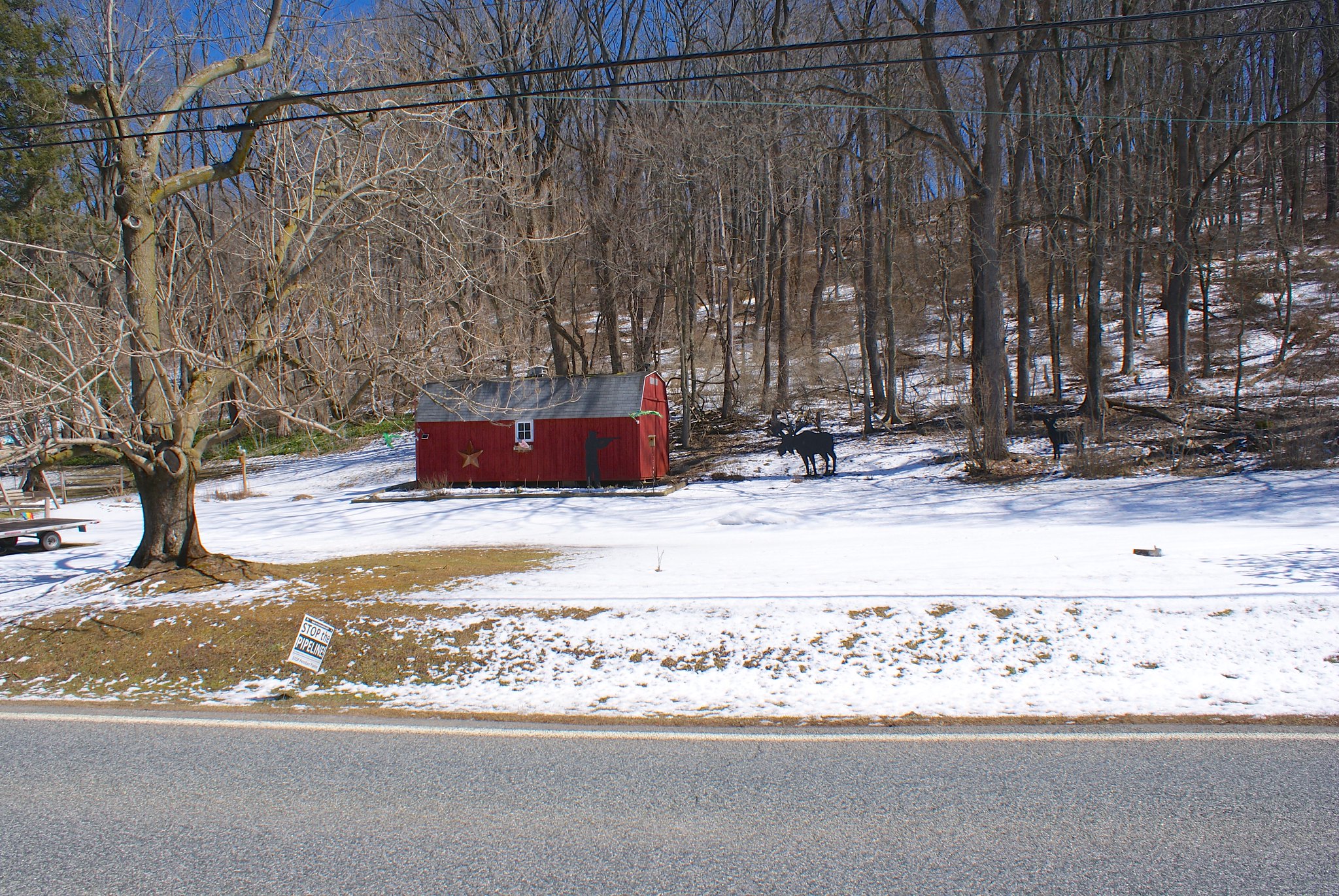
Over on Riegelsville Millford Road we have someone who’s very into hunting and outdoor art. Believe it or not this display seems to be right in the survey corridor.

Shot 239 – Riegelsville Millford Road wide angle
A wide angle shot. There’s more on the right!

Shot 241 – Riegelsville Millford Road more animal art!
More animal art to see here.

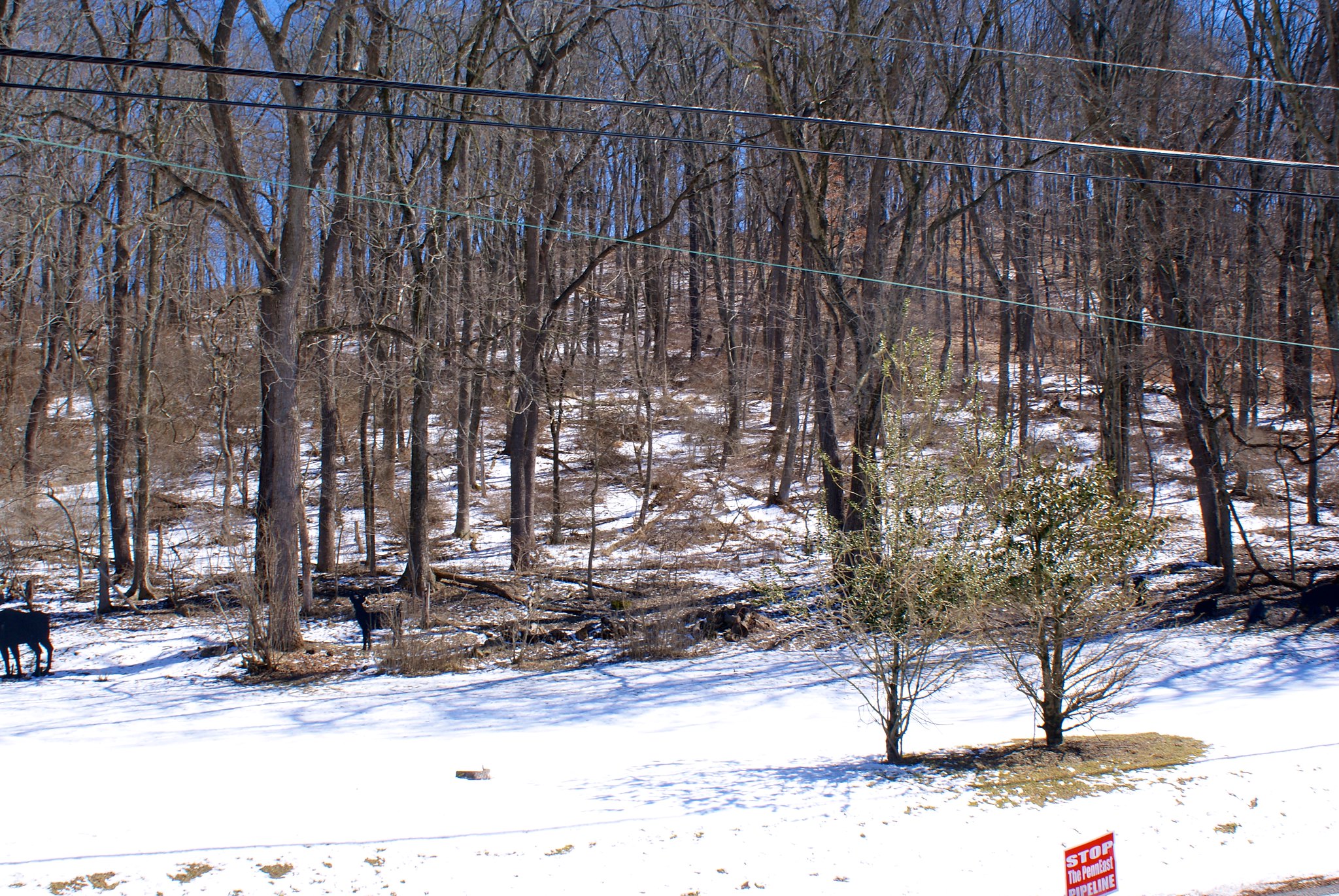
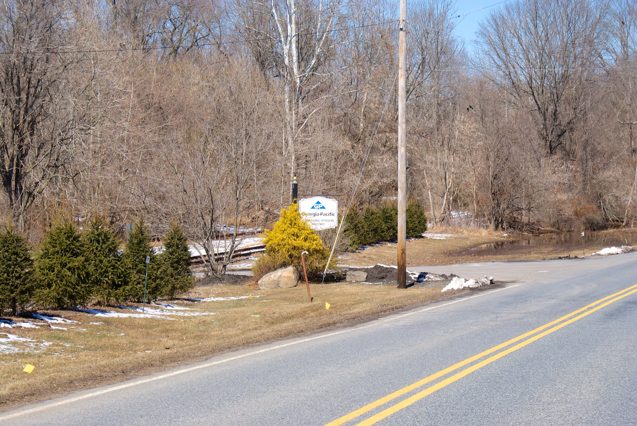
Shot 242 – Riegelsville Millford Road to the west
To the west we have the Georgia Pacific plant. I imagine they’re going to route around this?

Shot 244 – Riegelsville Millford Road Animal Closeup
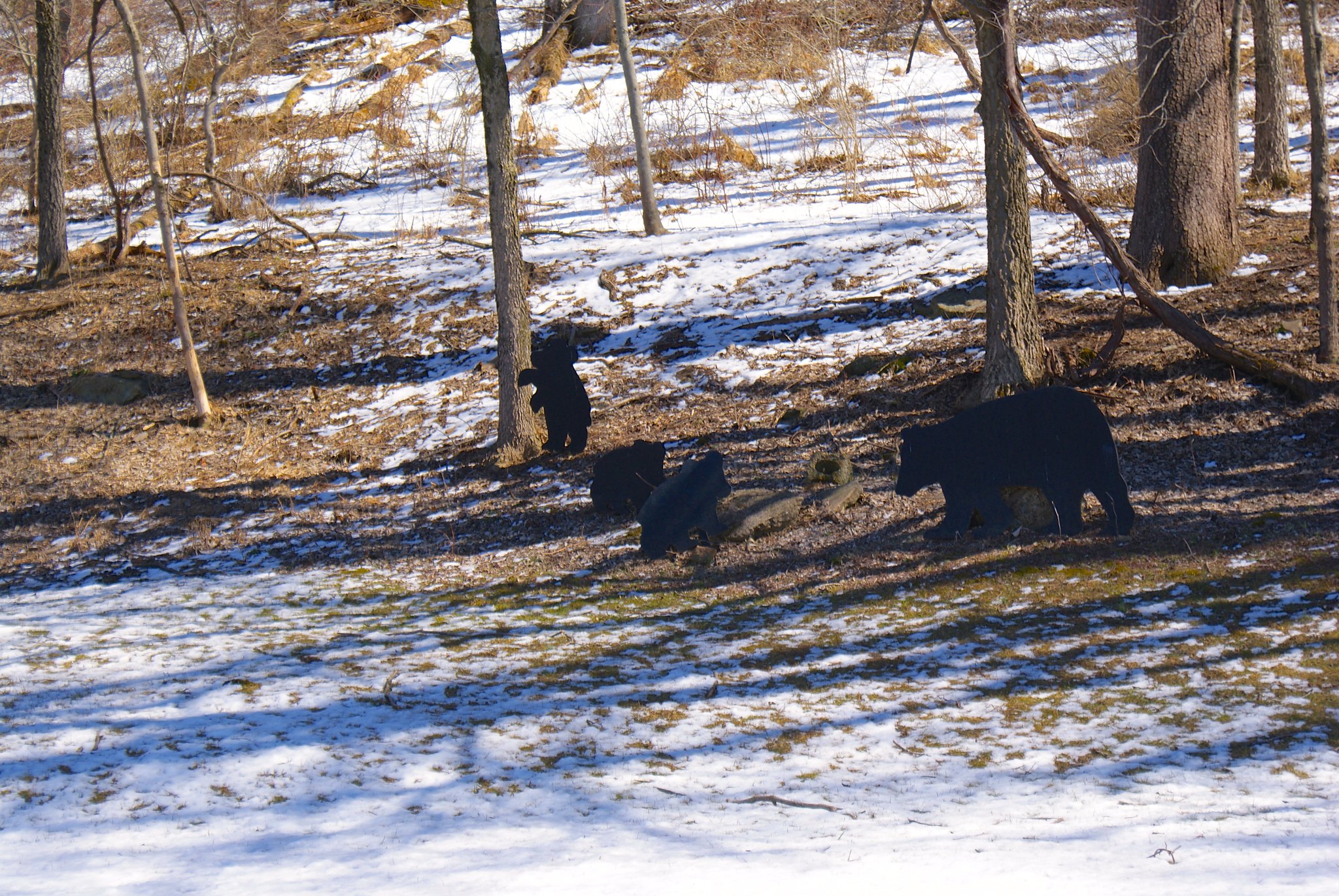
A closeup of the other animals – turkeys and bears, oh my!

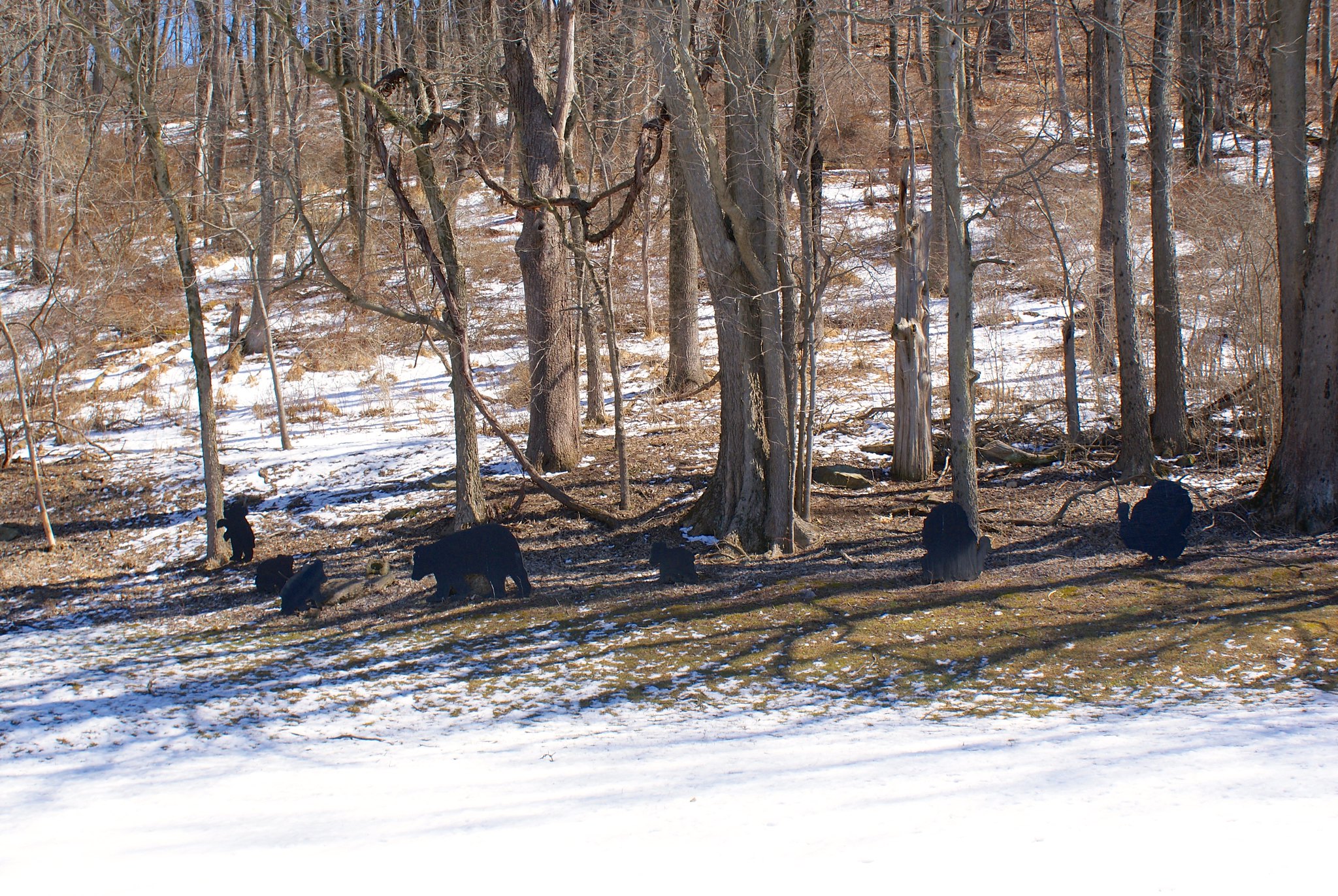
Shot 245 – Riegelsville Millford Road Bear closeup
Closeup on the bears.

Shot 246 – Old River Road
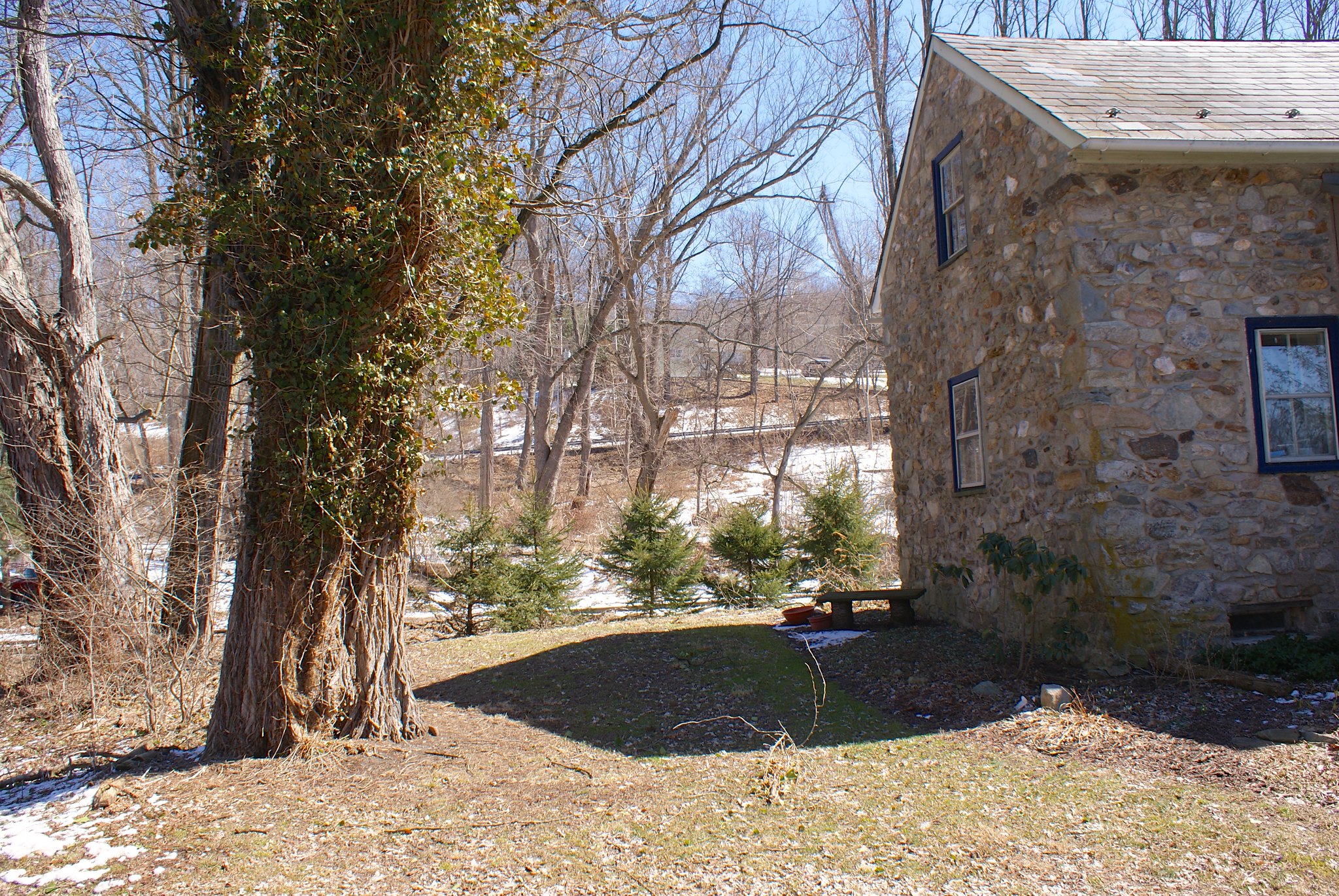
Old River Road is, as you may expect, a road that runs along the Delaware River. This is a shot to the east of a stone house in the survey corridor.

Shot 250 – Old River Road river shot
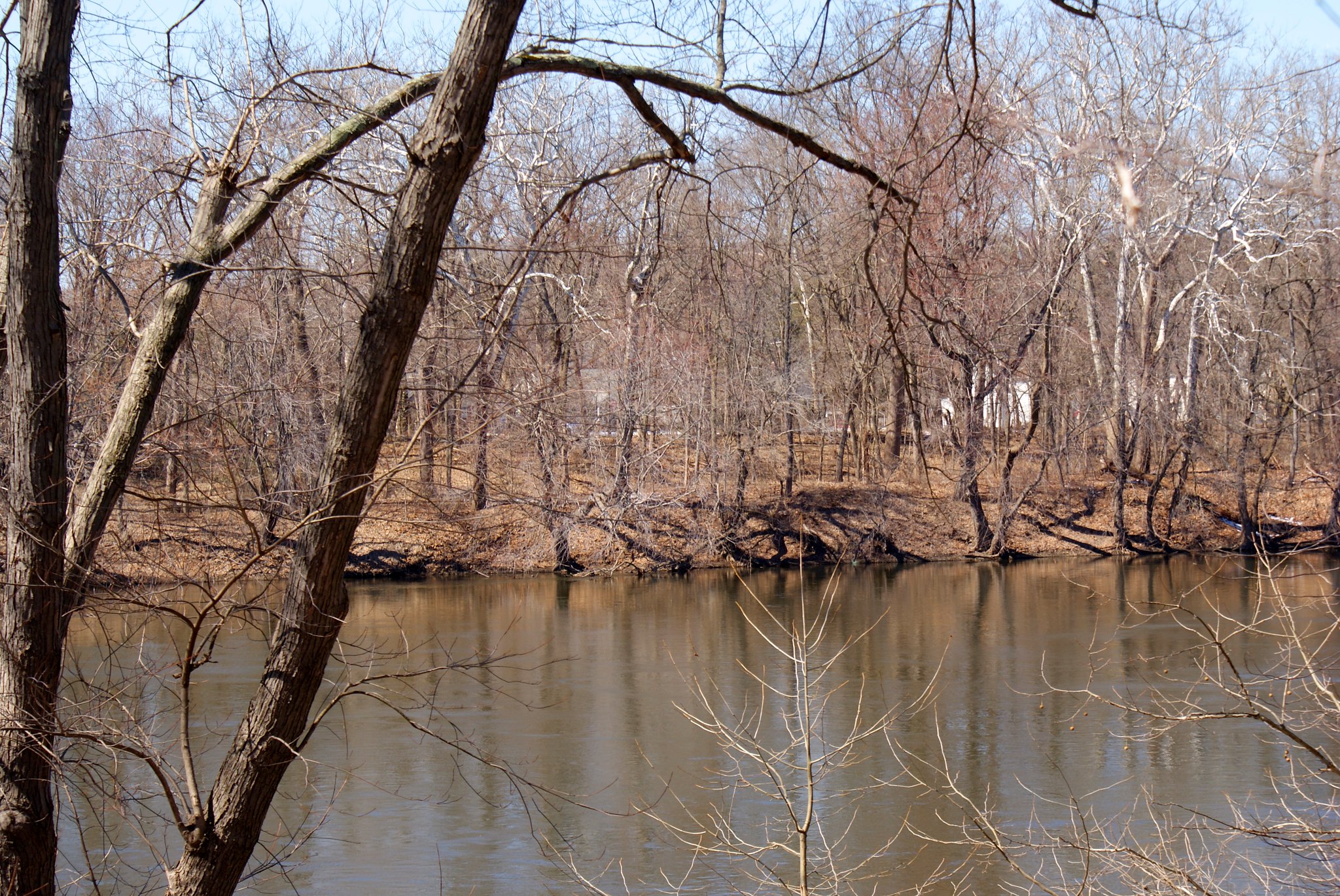
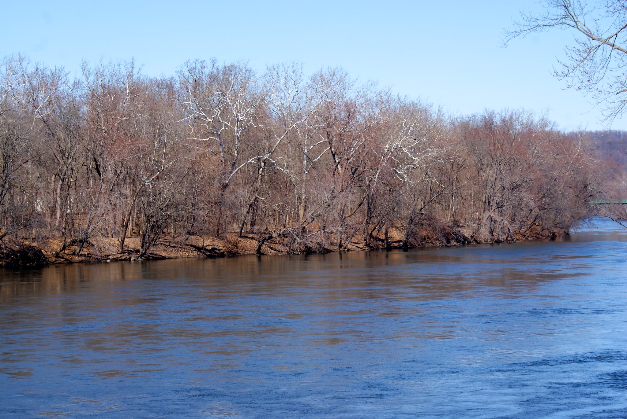
A shot of the river and the trees on the PA side.

Shot 251 – Old River Road looking North
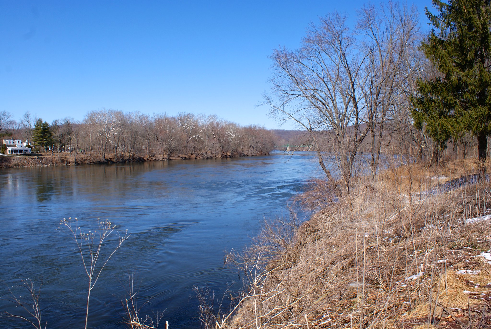
Looking north along old river road towards the pipeline crossing point. There are many stately homes along the river which must be worth a pretty penny for the views.

Shot 252 – Closeup of PA side
A closeup of the PA side from Old River Road. They’re going to lose a lot of these trees to pipeline construction.

Shot 253 – Hoots
Our last view of NJ was “Hoots”, a tavern right where the bridge crosses to the Delaware.

Photographing the pipeline route, Part 12: Frenchtown NJ to Milford NJ

The rest of the route is completely outside of areas I’ve visited before so it was all totally new to me.  The pipeline route continued along very hilly and steep terrain and still crosses a number of water ways.  The dogs were along the ride and thought daddy was insane, jumping out of the jeep every 5 minutes to point his funny little box around at everything.

Shot 181 – Everittstown Road looking East
The pipeline route through this whole area is through virgin land instead of following a power line easement. Here on Everittstown Road we see the pipeline route going through yet another farm.

Shot 182 – Everittstown Road looking east alternate angle
An alternate angle looking east.

Shot 183 – Everittstown Road looking West
Looking west along the route, it’s basically going within 100′ or so someone’s house, here we see their large front lawn.

Shot 184 – Everittstown Road posted sign
A “Posted” sign along the route, looking to the east.

Shot 185 – Everittstown Road Fox Ridge Farm
An NJ Preserved farm on the road. This is a few thousand feet from the route.

Shot 187 – Stamets Road Woodrose Acres
Looking to the North West we see Woodrose Acres. It’s a nice little house perched above a small stream the pipeline will be going through.

Shot 187 – Stames Road Gully to North
A view of the gully where the stream runs through.

Shot 188 – Stamets road looking to the south
Looking to the south we see the pipeline will be going down a small hill. From there it crosses the road and then down into the stream gully.

What you can’t see in this shot but can see in a map is that the pipe is cutting right through the middle of a farmer’s field shown in this map:

Shot 189 – Stamets Road Closeup of stream to the north
Closeup on the stream.

Shot 191 – York Road to the west
York Road is a little windy road that goes up the side of a fairly large hill. Here we the pipeline route looking to the West. In this whole area the pipeline changes direction a lot as it is more or less paralleling the Delaware River around here.

Shot 192 – York Road to the East
Looking to the East you can see a hella-steep hill the pipeline is going to through. All those trees will be gone and the houses in this area are going to be dealing with some serious erosion issues.

Shot 193 – York Road straight up hill
Looking straight on on the hill. My wife’s jeep that we took for this ride is just in the shot to the right.

Shot 194 – York Road another shot of the hill.
Another angle on the steep hill. If you look closely at the image you might notice some patches of very light and bright green. That’s moss growing on exposed diabase bedrock. You know what that means when they have to dig the pipeline down to 8 feet – more blasting.

Shot 195 – York Road wide angle to the west
Another shot to the west this time. As you can see after it comes down a steep hill and crosses the road, the pipeline route goes right back up another hill on the other side.

Shot 196 – Milford Warren Glen Road sign
The folks on Milford Warren Glen Road aren’t into the pipeline either.

Shot 197 – Milford Warren Glen Road to the east
Looking to the East on Milford Warren Glen road at a heart-breakingly beautiful farm that the pipeline will be going through.

Shot 198 – Milford Warren Glen Road to the North
A shot to the north.

Shot 199 – Milford Warren Glen Road alternate angle
An alternate angle on the farm land.

Shot 200 – Spring Garden Road Glynmoire Kennels
A kennel is sited next to the pipeline route on Spring Garden Road.

Shot 201 – Spring Garden Road to the South West
A shot to the South West of wilderness.

Shot 202 – Spring Garden Road to the south
A house and more wilderness to the north along the route.

Shot 203 – Spring Garden Road Pond
A pond next to the kennels.

Shot 204 – Spring Garden Road Naturals Land Trust sign
Well you just knew the pipeline would be going through more preserved land, didn’t you?

Shot 205 – Spring Garden Road alternate view
Alternate shot of the pond.

Shot 206 – Spring Garden Road Kennel and pond
Shot of the kennel and the pond.

Shot 207 – Spring Garden Road Old tree to the SouthWest
Yes this is along the route too.

Shot 208 – River Road Diabase cliffs
This isn’t along the route but is close to it. I included these shots to show exactly what PennEast is going to be dealing with. This is really, really hard bedrock and the drilling and blasting are going to be intense to get through this.

Shot 210 – River Road Dibase cliffs further down
Another shot further down the road.

Let’s take a look at the Downeast LNG DOE Submission

The first big step for any company that wants to consider LNG exporting out of the United States is to get permission from the U.S. Department of Energy (DOE). They have to make a case for their export terminal being reasonable and desirable, that they can build it safely, and that they’ll be shipping it responsibly to countries we trust.

The DOE recently approved the application from Downeast LNG, Inc to build an import/export station (but note it’s mostly for export).

First Downeast gives us the basics:

Pursuant to Section 3 of the Natural Gas Act (“NGA”)…Downeast LNG, Inc. (“DELNG”) hereby requests that DOE, Office of Fossil Energy (“DOE/FE”), grant long-term, multi-contract authorization for DELNG to engage in exports of domestically-produced liquefied natural gas (“LNG”) in an amount up to 173 million British thermal units (“MMBtu”) per year, which is equivalent to approximately 168 billion standard cubic feet (“Bcf”) of natural gas per year, for a 20 year period.

So their facility is going to liquify and ship up to 168 billion cubic feet per year of natural gas, or 460 million cubic feet a day. Recall that PennEast is setup to produce up to 1 billion cubic feet a day.

Downeast then tells us how they’re going to get the gas to their facility:

DELNG proposes to source natural gas to be used as feedstock for LNG production at the DELNG Project from U.S. and Canadian gas fields via the interstate pipeline system. The DELNG Project will interconnect with the Maritimes and Northeast Pipeline (“M&NP”), which in turn interconnects with Portland Natural Gas Transmission System (“PNGTS”), Algonquin Gas Transmission System (“AGT”), and the Tennessee Gas Pipeline (“TGP”). Each of these three pipelines provides a distinct route to access eastern gas fields that the DELNG Project could use to source gas. Given regional demand, Kinder Morgan (the owner of TGP), Spectra (the owner of the AGT and partial owner of M&NP), and TransCanada (the owner of PNGTS), have each separately proposed capacity expansions for their existing system, or greenfield builds that would supply the region.

So this facility will be getting gas from interstate pipelines including The Algonquin Gas Transmission (AGT) system owned by….Spectra Energies.

You may recognize Spectra Energies as being a part-owner of the PennEast pipeline. PennEast will have interconnections to the AGT.

But would they really connect to a pipeline like PennEast, who’s source is Marcellus Shale gas? Here’s what they have to say on that:

The DELNG Project is encouraged by the increase in domestic natural gas production in the U.S., in particular, the rapid and sustained growth of gas fields in northeastern Pennsylvania. The production of natural gas in the producing regions in Pennsylvania and West Virginia now exceeds 14 Bcf per day (“Bcf/d”), based on estimates in the U.S. Energy Information Administration (“EIA”) May 2014 Drilling Productivity Report (“DPR”). Despite the rapid growth of U.S. natural gas production, some question whether it can be sustained unless new markets are found, given the low wellhead gas prices and a constrained gas pipeline delivery system. The EIA noted in a recent Short-Term Energy Outlook that:

[r]apid natural gas production growth in the Marcellus formation is contributing to falling natural gas forward prices in the Northeast, which often fall even with or below Henry Hub prices outside of peak winter demand months. Consequently, some drilling activity may move away from the Marcellus back to Gulf Coast plays such as the Haynesville and Barnett, where prices are closer to the Henry Hub spot price

So the answer there is “yes”. Downeast is being built specifically to receive gas from the Marcellus region.

Further down into the document Downeast gives us a real corker of a justification for their export facility:

4- Supply-Demand Balance Demonstrates the Lack of National and Regional Need

Recent trends in the U.S. natural gas market, in particular in the U.S. Northeast, make evident that the request for authorization to export domestic natural gas as LNG from the DELNG Project is consistent with the public interest.

U.S. natural gas production has been growing at more than twice the rate of domestic demand growth since 2005. The U.S. gas market has been unable to absorb the rapid increase, particularly in constrained gas production basins, leading to lower well-head prices, and forcing the shut-in of actively-producing wells, creating spare production capacity, non-productive resources, and a redeployment of production resources to unconstrained gas-producing regions and to oil fields.

So Downeast comes right out and says what everybody knows but didn’t want to put in writing – there is no national or regional demand for Marcellus shale gas. For the purposes of PennEast let me focus on the regional side. They make it plain – the NorthEast doesn’t need the gas from the PennEast pipeline. We’ve got tons of spare production capacity that has no where to go. It’s so bad they’ve actually been shutting down wells. The collapse of prices in the oil market have had an additional knock-on effect of causing even more well closures as natural gas follows oil’s suit and hits historic lows.

But wait, there’s more! Downeast quantifies the difference for us:

Based on these scenarios, discussed above, domestic demand growth for natural gas will average between 0.7% and 0.9% annually with total estimated demand of between 28.45 Tcf and 30.55 Tcf by 2040. However, over this same time period, domestic natural gas production is projected to grow between 1.5% and 1.7% annually, or approximately twice the rate of growth in domestic natural gas demand. Domestic natural gas production will exceed domestic demand by over 25% for both the Reference Case and High Economic Growth Case, or between 7.6 Tcf and 7.9 Tcf (20.9 Bcf/d to 21.7 Bcf/d) by 2040.

So shale gas producers are actually producing twice as much gas as we’ll need for growth.

Finally we come to the appendixes, which gives all of the data used to support their application. This area is lengthy but one part caught my eye in particular. There’s a section that talks about supply routes, and basically details where Downeast might get its gas from.

One portion talks about the “Spectra Route”:

The Spectra Route provides an opportunity for DELNG shippers to source natural gas from the Marcellus/Utica region at upstream points on Algonquin’s system (i.e., Lambertville, New Jersey or Ramapo, New York) and then transport it on one of Spectra’s proposed pipeline expansions into New England.

Lambertville, NJ? Does that ring a bell? It does to me – Lambertville is where the PennEast pipeline interconnects with the Algonquin pipeline system owned by Spectra Energy. In the above quote Downeast is proposing to use that interconnection to get Marcellus gas via PennEast.

And there you have it folks. Does anyone still have any doubt that a significant portion of the PennEast gas is going over seas now?

Resident thinks the FERC is “short-sighted and just plain stupid”

Like many FERC commentors, Dana from Easton, PA doesn’t pull her punches. She believes the FERC is short-sighted and stupid, and PennEast has comported itself in a misleading and unethical manner.

I am writing to express my opposition to the proposed PennEast gas pipeline. Most of the properties it crosses have been preserved with either federal, state or local funds for preservation of open space. How
can a for profit endeavor outweigh the will of the taxpayers who chose to protect their land?

PennEast has NOT shown that there is a need or want for this project. I have been following the FERC filings very closely, and of the almost 800 filings I’ve saved to my hard drive, only 2 dozen or so have been in support, and all but 4 of these were from individuals, not corporate entities. Doesn’t that tell you something?

Regarding PennEast’s actions during this profiling period, there does not appear to be a coordinated regional plan for pipelines, even within FERC. FERC reviews each application in isolation, without regard to the cumulative effect on the region. This is short-sighted and just plain stupid. Also, PennEast has been deliberately vague in providing the public with the information regarding the actual route of the pipeline, has deliberately scheduled the few meetings with the public at inappropriate locations and at inconvenient times, and has overall been NOT forthright in providing the information the public needs, and is entitled to, to make informed decisions regarding support or opposition to this project. I find their actions in this matter to be misleading and unethical.

When PennEast suggests that this will bring “affordable gas to millions of homes in NJ and PA”, I have my doubts. Most of the affected lands along the course of this proposed pipeline are rural… we do NOT have any natural gas infrastructure in place, nor will there ever be. This is clearly a plan to enrich the owners and stockholders of the energy conglomerates, with no concern for the actual landholders affected.

And what of the natural lands, flora and fauna of the region? PennEast seems to care little for their welfare, only for the profits they may reap.

Finally, there have been numerous scientific findings regarding the fragile geography of the region- karst geology, sinkholes, fault lines, etc. that suggest further disturbing the topography of the region would
be a very BAD idea.

For these reasons, and for those expressed in the overwhelming opposition expressed by others on this forum, I strongly urge FERC to reject this project.

Thank you for your consideration in this matter of dire importance.

I completely agree with Dana on all points, and I think in particular the FERC needs to not acccept PennEast’s vague hand-waving and assertions. I believe federal regulations require that FERC must force PennEast to be extremely specific in their plans and their responses to scoping comments. I could spend a year documenting all of the instances where PennEast is deficient in this respect, but some of the most egregious ones include:

  • A vague and changing pipeline route.
  • Vague assertions that they will follow “industry standards” without specifying exactly which ones
  • Hand waving about “heating 4.7 million homes” without actually breaking down the expected consumption by end users
  • Saying they will re-route where “practical”, with no indication of what they consider practical or not
  • Hand waving about “mitigation”.  How do you mitigate ripping out orchards and reduced crop damage?
  • Saying they will “compensate” owners of preserved lands.  How can you compensate someone for losing their preservation status?
  • Lumping serious individual concerns on a wide variety of locales with ecological, historical, and cultural impact into single generic buckets in their scoping responses

As I say, the list goes on and on.  We can only hope that the FERC wakes up and starts doing its regulatory duty here.  Either force PennEast to give specific answers to specific concerns, or hit them with the “No Build” option and call it a day.

 
Dana’s submission is available below:

Dana’s submission – FERC Generated PDF

Dana’s submission – FERC Generated PDF Alternate Site


West Trenton scoping meeting transcripts are up

The transcript from the West Trenton meeting that I missed are up. I’ve only skimmed it in a few places but it’s exciting reading, including testimony from environmental and preservation specialist who also happens to have a farm on Pleasant Valley Road that is part of Baldpate Mountain. Skip to page 189 for Cynthia Goldsmith’s testimony for that one.

West Trenton Meeting Transcript – FERC Generated PDF

West Trenton Meeting Transcript – FERC Generated PDF Alternate Site

People respond to PennEast’s anemic scoping comments

We’re starting to see individuals and organizations react to the anemic and wholly inadequate responses of PennEast to the FERC scoping comments. Joan from Hopewell, NJ writes to the FERC:

I am appalled at PennEast’s failure to address legitimate municipal and resident concerns in its recent response to scoping comments. Its cavalier attitude towards environmental, cultural, historical and geological problems is inexcusable.

I completely agree. I was in total shock when I read the PennEast’s responses. Sink holes? They’re not worried about them. They say their pipe is engineered to withstand a 100′ fall, so no worries!

Environmental concerns? They’ve got it covered, they’ll mitigate!

Pipeline going through conserved areas? Well they’ll try to route around them. As long as it’s not too inconvenient to them.

99% of their responses are like that.

In my comments, I specifically asked where the gas is intended to go. This is a very simple matter of asking all PennEast partners where they will sell the gas. There is no question that the gas will not be going to 4.7 million homes in NJ, or PA, or even NY, as PennEast keeps repeating. The US Census data is clear that it is impossible to heat 4.7 million homes when there are fewer than 4 million homes in NJ and two thirds of them already have natural gas. The PennEast partners — UGI, NJR, etc. must have knowledge of where they are selling this gas; otherwise, they would not buy gas on speculation. PennEast should tell all of us where the gas is going to be sold. There is no convenience or necessity to local residents for companies to make profits by selling gas overseas.

Without an answer to this question, there is no “necessity” and no “convenience” for FERC to grant a Certificate of Public Convenience and Necessity. There is no benefit to mid-Atlantic residents. Yet, they will have to bear all the destruction and environmental disasters that will result from this proposal. PennEast is engaged in subterfuge and obfuscation in its answers and should be accountable to provide specific answers.

This is indeed a critical question, and one I’ve harped on as pivotal in looking at PennEast’s proposal. Their smoke screen about gas for businesses and consumers in PA and NJ is a complete fabrication. As Joan points out there is no need for this billion cubic feet of gas to flow into our state a day.

PennEast has also not accurately represented the effect of its pipeline on residents’ gas bills. Although the price of LNG is decreasing temporarily, this does not mean that residents will pay less on their bills. All PennEast partners acknowledge that they can and will pass through their infrastructure costs to its customers. On a $1 billion pipeline, customers bills will go up, not down. PennEast is misleading FERC and the public. FERC should not grant the Certificate. PennEast is not an honest and reliable source of information regarding any of its plans.

And this is the final insult. All the poor people writing that PennEast will lower their gas bills are going to be in for a rude shock if it actually comes to pass. Pipelines aren’t free, and there will be tarriffs to go over this one. And shale gas is on average more expensive to produce than conventional gas. PennEast is trying to indicate that having gas “local” is an advantage but in reality this is not true. Historically production from wells has cost more than the pipeline transmission costs. And that’s when we’re pumping it from the gulf coast.

And finally – if they export the gas flowing over PennEast, market forces will come into play. Natural gas in Asia and Europe is extremely expensive. Marcellus producers are going to naturally want to ship there. Production is rising but now we have an entirely new market as well. An expensive one. The natural market effect of this is that prices will go upslightly for everybody. And when it hits 15 degrees outside we’ll be competing for gas with Japan and India who will pay top $$$. Guess who will win?

Joan’s submission is available below:

Joan’s submission – FERC Generated PDF

Joan’s submission – FERC Generated PDF Alternate Site