Woman says her elected officials have “turned their backs on the wishes of their residents”

Lynn from Williams Township, PA is very unhappy with her township.

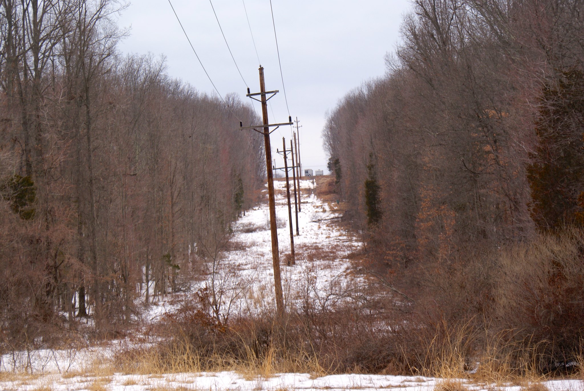
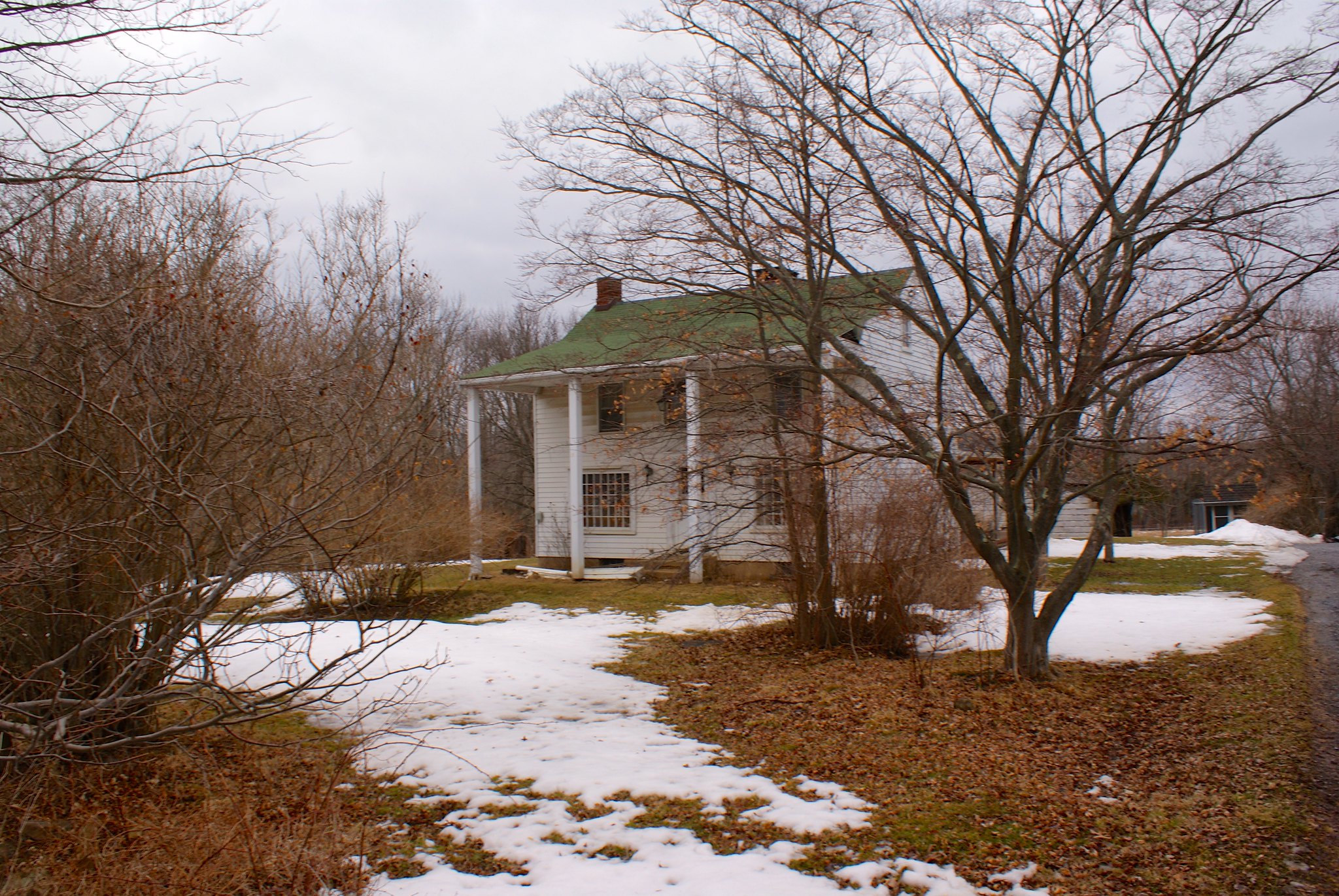
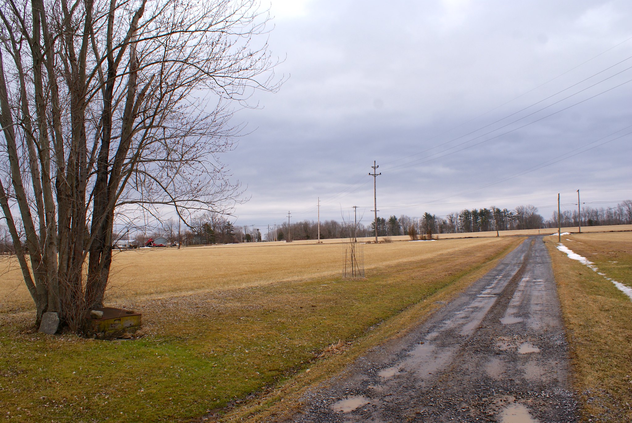
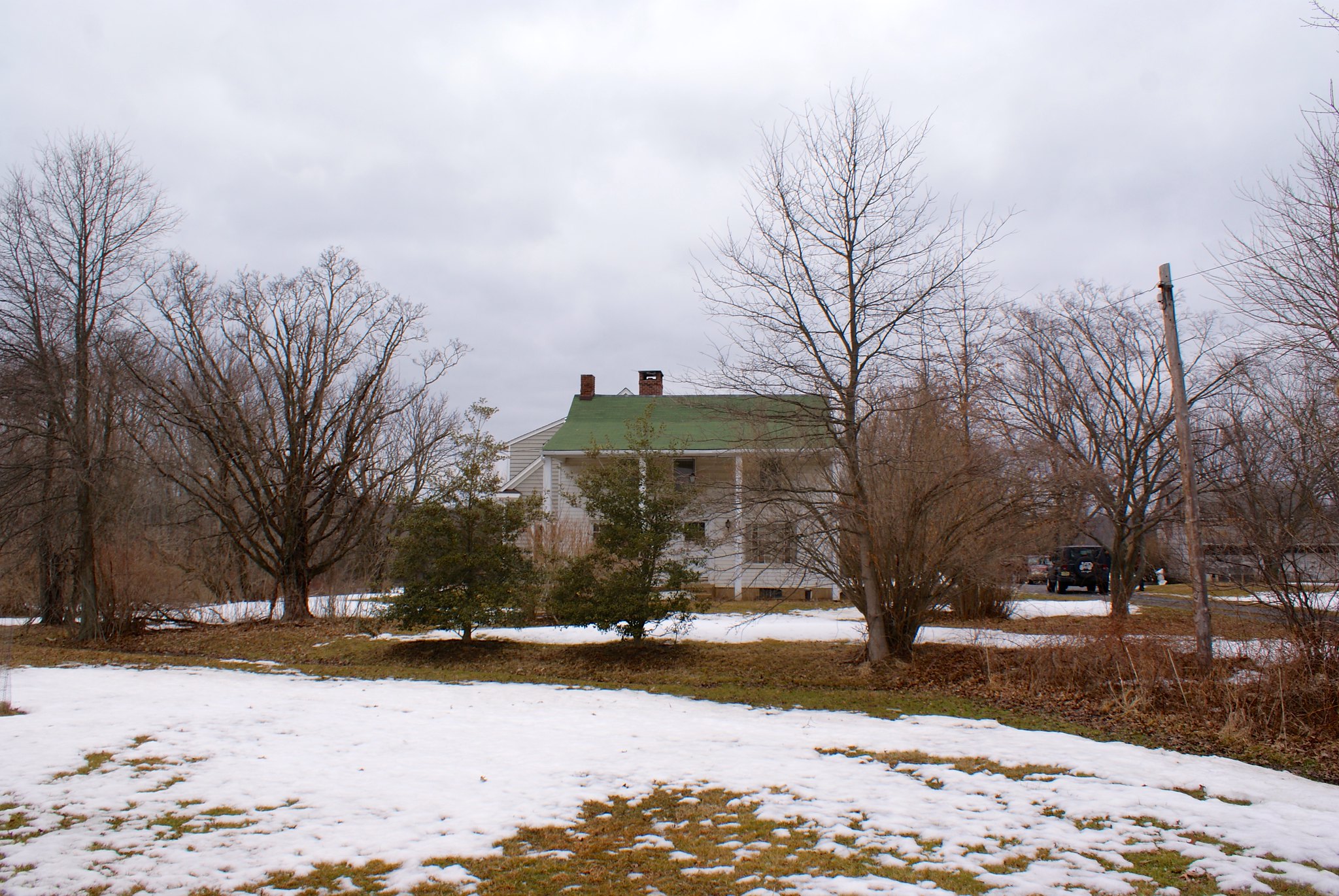
I’ve lived in Williams Township for 41 years, attracted by the open space and beautiful landscape – corn fields, a beautiful river and pure water.

A 36 inch 108 mile pipeline would destmy that picture. Farmers fields would be upheaved and would not be returned to its original usefulness and bounty (just ask a farmer).

Our township elected officials have tumed their backs on the wishes oftheir residents. They have voted against issuing a resolution opposing the pipeline. It’s not in “their” backyards. But it is in “their” township and it affects the health and well-being oftheir residents. It’s not like a resolution would stop the construction of this pipeline, but it would get our voices out there along with many other townships in PA and NJ.

It is said that the pipeline would create jobs —but not for our local workforce. The pipeline brings its own workers. The pipeline is already constructed. It just has to be buried. It doesn’t bring any revenue to the townships it travels thru or even to the US —it is headed overseas where big corporations will enjoy the profits. Are these the profits That Obama plans on taxing’? The oil is not even going to be available to the people of the US to warm their homes.

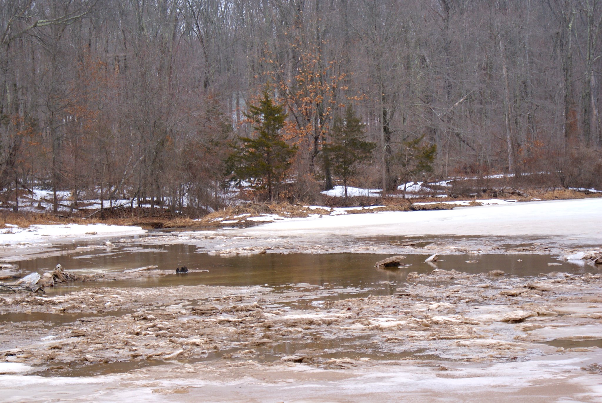
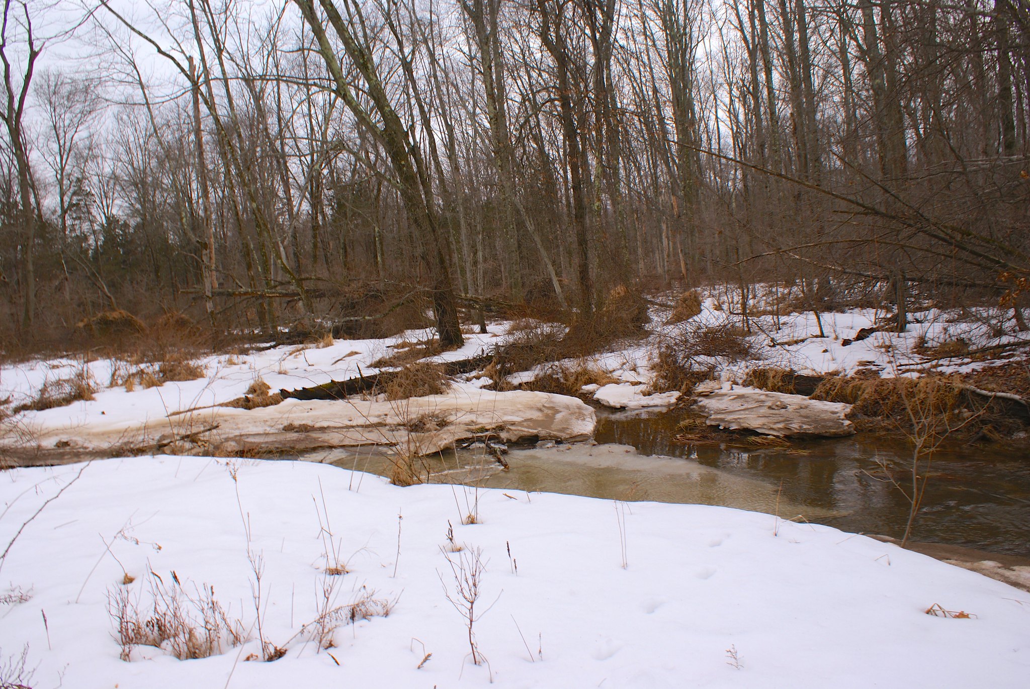
Our township has been on the forefront of open space preservation and not for an easement for the pipeline to cross these pristine lands. Much of the pipeline will traverse carbonate rock which is prone to sinkholes which the township has cautioned for recent construction projects. How will the pipeline blasting affect these possibilities’? How comfortable are you ifyou live in the 955′ radius potential impact zone’? How easy will it be when you try to sell your well-maintained homestead within the girth of the-pipeline? The pipeline could cross 33 wetland complexes and 60 waterways, including the Delaware and Lehigh Rivers and many aquifers may be adversely affected.

As well-stated by David Winston of Riegelsville:

“In a supposedly fee country, I find it despicable that this groups of corporations intends to shove an unwanted and potentially dangerous gas pipeline thorough so many communities, preserved farmlands and green space, sensitive aquifers and watersheds (including the Delaware River) and areas rife with limestone formations and the resultant sinkholes.”

From what I’ve heard PA has had a rough time of it historically when it comes to many materially-intensive (and invasive) industries. Coal mines, metals mines, shale oil and gas, pipelines. And then it gets even more complicated with the sinkhole/karst situation.

I can understand if Pennsylvanians are a bit life-weary from it all and are resigned to fate. But I see it as a positive sign that some towns in PA actually ARE fighting the pipeline and opposition resolutions are being passed there. I don’t know if they were encouraged by every town in NJ along the pipeline route passing their own resolutions against it, or some other forces in work, or combination thereof…but I think it’s an excellent sign. People of all backgrounds are rising up against this pipeline and the many other ones slated to follow it.

I’m reminded of two quotes from Stephen King’s riveting novel The Stand when I think of this situation.  Those in opposition remember:

The place where you made your stand never mattered. Only that you were there…and still on your feet.”

And to PennEast, and every other big energy corporation involved in creating an environmental and physical disaster:

That wasn’t any act of God. That was an act of pure human fuckery.

Notes and pictures from readers

Several people were kind enough to send in their own shots of the pipeline route or interesting tidbits near it, and to describe in more detail the areas where the pipeline is proposed to go through.

I’m a bit pressed for time but will link to the pictures for now and give them proper attention when I have a moment!

The pictures can be seen in a special photo album on flickr here

The first two pictures come from Lizzy. The first is a picture of the Delaware River at the approximate pipeline crossing site. The second is a picture of Cook’s Creek, an EV1 (Exception Value) stream the pipeline will be crossing.

The next several stunning shots are from Pat. Pat’s a neighbor of Carla’s on Sanford road. These additional shots of the immediate vicinity where the pipeline was crossing on either the original or new proposed route.

Finally we have the bird pictures. These are from Sharyn Magee, president of the Washington Crossing Audubon Society. These are all copyrighted to her, and are from her breeding bird studies for Cornell Ornithology of Baldpate Mountain birds. These birds habitats are all being threatened by the pipeline route.

Finally, Maureen Syrnick wrote a comment on the pipeline route giving a great deal more detail on the route around Kingwood.

A few comments regarding the route through Kingwood: Starting at Creek Road where the pipeline will cross the Nishisakawick Creek there is a pretty big grove of Hemlock trees as well as other unbelievable native plant with almost no invasive plants or deer damage. NJ Department of Agriculture has spent probably 1 million??or so on developing a beneficial insect program to find an insect that would eat the Woolly Adelgid which had killed off many of the Hemlocks in NJ. Over the years NJ Ag commission did several planned bug releases in West and North West NJ to save the remaining Hemlock trees. The pipeline path will clear cut almost the entire stand of these hemlocks that NJ paid to save.

Further along the pipeline route at the Farm – The driveway into the Farm is a very narrow dirt driveway that runs along the Copper creek which you photographed. This is one of PennEasts planned access roads. The one side of the road is the creek; the other side of the road is rock outcroppings. They plan on developing this very narrow road to bring in equipment and trucks. Totally inappropriate to do any type of road improvement being so close to the creek. To even get into the farm driveway there are 90 turns and very narrow tree lined township roads that are so tight school bus’ cannot drive trough. To get any equipment or trucks back to the Farm, Penn East will have to “improve” these beautiful roads by clear cutting the trees and building up the roads and small bridges somehow. The runoff is going to create major problems along these roads.
At Copper Creek Preserve, which you photographed, the 36” diameter PennEast pipeline will intersect a 30” jet fuel pipeline, a 20” fuel oil pipeline, right under the power lines – all up a steep slope from the Copper Creek.

There are very shallow soils for almost the entire route through Kingwood township, and there is a sole source aquifer that PennEast will have to blast through the entire way. Beside releasing Arsenic from Blasting and drilling the Argillite bedrock into the aquifer, they risk damaging the drinking water for the entire township.

What you cannot see from the road is where PennEast will cross the C1 Lockatong creek 5 times in just one contiguous 1.5 mile long section, clear cutting the entire 300 foot riparian buffer for the whole 1.5 miles. The creek does several “S” turns in this one section. The power lines run through a Solar Farm which JCP&L told PennEast “Not though our Solar Farm”. So PennEast moved the route to where it now clear cuts this 1.5 mile section of our major C1 stream. Much of this section that will be clear cut has Old Growth Forest that has been manages through the New Jersey Forest Stewardship Program to protect the forests.

More when I’ve got the time!

P.S. All of my pictures (with the exceptions of the reader submissions above) are licensed under the Creative Commons License. This means you can use any of these pictures for any purpose and don’t need to ask permission. Just copy, link, whatever, for private, non-profit, or commercial use. I only ask you attribute them back to this blog.

The shills dig in

The most recent Lehigh Valley Live article on the PennEast article attracted the usual set of comments.  No surprise there.

What surprised me was to see a conversation in the comment section between “OldJohnDeer79″ and…”Mike Spillet” in West Amwell.

There is no “Mike Spillet” in West Amwell but there sure is a “Mike Spille” – ME!

So now we have PennEast shills impersonating real people, and they don’t even have the skills to get their name right.

How low are they willing to stoop?

Last time I checked NJ and PA were not in New England

A critical part of PennEast’s plans to use eminent domain is that they must prove this pipeline is serving a well defined public need and is in the public’s interest.  Their response to this is that the pipeline will serve businesses and consumers in eastern PA and NJ.

Which leads me to this:

Crestwood says strong demand for New England pipeline

This article describes how Crestwood Partners plans on building a new pipeline, the MARC II, to connect the PennEast pipeline to New England.

Wait, what? New England? NJ and PA aren’t in New England!

You’re right.  Even fifth graders know that.  But PennEast and other projects are in fact building connectivity to their pipelines for many markets. Marcellus gas flowing on PennEast could go to PA and NJ. And also go to Connecticut, Massachusettes. Vermont, Maine. And south Delaware and Virginia.

And of course onto ships from Cove Point LNG terminal to the south and the Downeast LNG terminal proposed to the North.

All the pipelines in this country are interconnected so gas can flow wherever people contract for it.

PennEast saying that this gas is intended for just NJ and PA is just plain lying to you.

Photographing the pipeline route, Part 11: Kingwood into Frenchtown

This section of the pipeline route has the pipeline going through incredible scenic views, state parks, and extraordinarily steep slopes. Clearly you can see this part of Hunterdon County is really hilly with many streams, brooks, and creeks.

Spring Hill Road Scenic View
A view from Spring Hill Road to the North West. I included these shots as a far reaching view of the country the pipeline is going through.

Spring Hill Road Scenic view closeup
A closeup view of the previous shot.

Spring Hill Road Scenic Rolling Mountains
A closeup on the mountains in the distance.

Spring Hill Road View to the North
A view more to the North rom Spring Hill Road.

Spring Hill Road Copper Creek Preserve
Down the road from the scenic view is an entry way into the Copper Creek Preserve. This preserve is part of the larger Horseshoe Bend Preserve, 477 acres of preserved land in the bluffs overlooking the Delaware River. The preserve took 10 years of negotiation to put together and is owned by Kingwood Township and is a true treasure in Hunterdon County. My wife and I regularly take our dogs to a dog run they’ve created on Horseshoe Bend road; it’s a 6 acre completely fenced in field where dogs can run free off of leases without worrying they’ll run away or get into trouble.

The pipeline is slated to go through the middle of the entire length of the preserve and cross all of its major streams, including Copper Creek.

Spring Hill Road Copper Creek Preserve sign
Here’s the electric company easement and a Copper Creek Preserve sign next to it. In a cruel twist of irony the pipeline route is probably going right through where the sign is today.

Spring Hill Road Copper Creek Preserve looking north
Looking north along the cut. Another narrow zone that will most likely need to be widened by PennEast.

Spring Hill Road looking north closeup
A closeup of the previous shot.

Spring Hill Road looking South
Looking south from Spring Hill Road. The cut looks even narrower on this side.

Spring Hill Road looking South widen angle
A wider angle of the previous shot.

Spring Hill Road Green acres sign
A green acres sign just west of the pipeline route. I guess we’ll have to change the text from:

“This privately owned land is dedicated to public recreation and/or conservation purposes”

to:

“This privately owned land is dedicated to public recreation and/or conservation purposes and/or energy company profits”.

Horseshoe Bend Road, The Farm
On Horsehoe Bend Road is a site labelled simply “The Farm”. I googled this a year ago and I forgot the story behind it, and I can’t seem to find it now. I feel like it might’ve been a religious organization or something that owns the land. The pipeline will be running right through their property and is where it will cross Copper Creek.

Horseshoe Bend Road, The Farm and Copper Creek
Picture of Copper Creek running along The Farm’s driveway. The Pipeline will cut across both the driveway and the creek.

Horseshoe Bend Road, Copper River bridge
Stone bridge over the Copper Creek. This shows how strong the current can be during times of snow melt and heavy rain.

Ridge Road clearing
Over on Ridge Road in Frenchtown, NJ the pipeline veers away from existing easements and beats a virgin path through the land. Here we’re looking South East from the road.

Ridge Road clearning, Ridge Road Farmer’s Club
Apparently the Ridge Road Farmer’s Club owns this land. Let’s hope they keep PennEast out.

Creek Road, no dumping!
Creek Road in Frenchtown is, frankly, a terror. It’s dirt at the best times, and pure mud when I went over it. It’s barely wide enough for my pickup truck. To the left is a steep drop of at least 20 feet down into Nishisakawick Creek. To the right is a steep hill going up the mountain. The road curves constantly and is simply scary as hell to drive on. Apparently it serves only two houses, then turns into a state park following the Creek. I’m guessing it’s mostly for fishermen but not sure. The DEP says the creek is home to 20 different species of fish. As you can see the town is worried about illegal dumpers polluting the creek. Let’s hope they arrest and fine PennEast when they try to bring their pipeline through!

Creek Road, no dumping really!
They really, really want to remind you that dumping is illegal here.

Creek Road, diabase at surface
This was right up to and next to the road. It’s diabase bedrock, as you can see it’s bare on the surface here. It’s very tough and PennEast will have to blast to get down to 8′. And they’ll be blasting right next to a protected creek.

Creek Road, creek crossing point looking North West
This is where the pipeline route goes across the creek. The steep on the far end is incredibly steep.

Creek Road Creek Crossing Point Looking South East
Holy crap, look South East and the slope is even steeper! PennEast is gonna dig an 8′ trench in that!? And this is all virgin clear cut, bisecting the creek park land.

Creek Road wide view to north west
A wider angle view of crossing to the north west.

Creek Road trout stocking sign
A standard trout stocking sign from the Dept of Fisheries and Wildlife.

Creek Road state park sign
State park warning sign. They need to add “no massive heavy construction and blasting” to the list.

Creek Road tributary
A small stream that feeds into the creek. You can see how close to the surface the diabase rock is here, that’s what forms the stream bed.

Creek Road Creek view
A view of the creek from inside my truck. The road was so narrow I didn’t want to get out here!

Photographing the pipeline route, Part 10: Revisiting Sanford Road

I received an email last night from Carla in Delaware Township.  She said that her farm was in one of the pictures I took on Sanford Road, and that there was a lot of interesting areas you couldn’t see from the road that would be impacted by the pipeline.  She offered me an invitation to come out and talk to her about her farm and the pipeline and take pictures along the way.

So my wife and I loaded up our two dogs (Fern, an American Fox hound, and Cinna, a pit bull mix) and drove on up.

When I met Carla she told me a little history of their farm. They bought the 137 acre property 16 years ago from a family who lived in Connecticut. Normally they would not be able to afford such a piece of land, but the Connecticut family worked with them and the purchase was part of a farm preservation agreement. This kept the farm permanently protected as farm land, and Carla and her husband got a farm with huge potential.

You can see their FERC submission below:

Carla and Dan’s FERC submission

Carla and Dan’s FERC submission Alternate Site

From her description the land was a bit of a mess when they got it. They’ve had to work hard to turn it into a productive farm that grows high quality hay. The same is true of the house, it was in pretty bad shape and they are still slowly renovating it into their dream home.

Their farm is long and somewhat narrow. Unfortunately the PennEast route goes right through the long part, running the entire length of the farm. It cuts right across their driveway, which will leave them unable to access their property during construction.

Carla graciously let me bring my camera and document some of the features on the property. It’s a good thing I brought my boots because the snow melt and rain has created acres and acres of mud on the property.

The Pond
A big feature of the farm and an area of deep concern related to the pipeline is a pond located on the farm. The pond is fed by Plum Brook, which is a tributary of the Wickecheoke Creek. The pipeline will be cutting across that waterway upstream from the pond, and any contamination from the construction will end up right in it.

Wider view of the pond
The pond is apparently man-made, it was created by a previous tenant by damning up the stream. A beaver apparently helped as well, it took down a lot of wood in the area to beef up the damning until someone shot it some time ago.

Closeup of the pond
The brook supports beavers, muskrats, and minks, and the pond contains many different critters including bass and many species of turtles.

Pond alternate view
PennEast of course says that their construction is no big deal and they will “mitigate” any damages. That is PennEast’s favorite word – they get the right to invoke eminent domain and pretty much put the pipeline wherever they please, and our sole consolation is they’ll “mitigate” any issues.

The problem of course is that PennEast will only focus on the area immediately in their construction zone. If material and sediment slips down stream they won’t even look for it. So any mitigation they might do would be to fix the brook – with probably nothing done at all for the pond if they inadvertently damage it’s environment.

Plum Brook
The brook is actually pretty substantial in size, doubly so during these times when there’s a lot of water. You can see from how steep the banks are that it must really flow strongly during heavy rains and has carved a deep niche for itself.

Walking along the brook
We walked along the brook to the west towards the power line easement and proposed route. Along the way we were chatting about rescue dogs and techniques to calm the most skittish ones over time. She’s got several cats and dogs in the house plus is holding a new rescue. They’re mostly smaller breed dogs, she can’t get breeds that need to run a lot outside. The problem there is the ducks and chickens on the property. One week and bigger dogs like ours would make the fowl their dinner.

At the easement
We arrived at the easement and I had a much better view of what it looked like away from the road. As you can see the power company has let it go semi-wild. When PennEast comes through this whole area is going to be stripped bare. And, as elsewhere, it looks like they’ll need to widen the cut.

The Kestrel Nesting Boxes
Our true reason for going to the easement area was that Carla wanted to show me the Kestrel Nesting Boxes. Apparently there is a state program that is run to help preserve Kestrels. They help make these nesting boxes, and they also band birds in the wild for tracking. You can read more about the state’s kestrel program in the area here. As you can see in the document the kestrel is a State Threatened species.

Here’s a kestrel box on a telephone pole right along the pipeline route. I wonder how PennEast is going to “mitigate” damage to these birds given their breeding and living grounds are right on top of the route.

Alternate view of kestrel box
Another view of the box. There are several of these strung along the route.

Krestrel Banding
Carla sent me some snaps of the Kestrel banding process.


A view up the cut
This shot is a closeup of the route going north up to Hewitt Road. You can make out the trailers parked at the top which are in my previous Hewitt Road shots.

You can also see the steep slope it goes up, and which PennEast will be widening. The runoff from the extended cut will be going right down into Carla’s farmland.

The house
A view of their house. The pipeline will be running just a couple of hundred feet, well within the zone where spontaneous ignition of flammables will occur if there is a pipeline accident.

Driveway view
A view from their driveway. You can see the pipeline route cutting right across it, cutting off access to their property during construction.

Final house view
A final view of the house. You can see my wife’s Jeep in the driveway on the right. It looks like some old growth trees may be in jeopardy if they build through here as well.

My two helpers
I’ll close with shots of two of my helpers, Fern and Cinna. Fern is 100% American Foxhound on one side, and it really showed today. The farm had droppings from several different critters – we saw deer and fox, and the fox had her heart racing. It was an effort to keep her under control in the slippery conditions, but we managed. Carla helped out when I was taking pictures, for which we are very grateful.

The purpose of highlighting properties like this is not to make a NIMBY case against the pipeline. Rather, I think this shows how little planning pipeline companies put into laying out these routes. It would be hysterically funny to highlight all of the bad routing decisions made along this path – if it didn’t impact so many lives so severely.

PennEast has shown their incompetence in planning out a pipeline route. Do you have any confidence at all that their skill at actually building it will be any better?

Fern hound says good evening, with a smile.

China says the same.