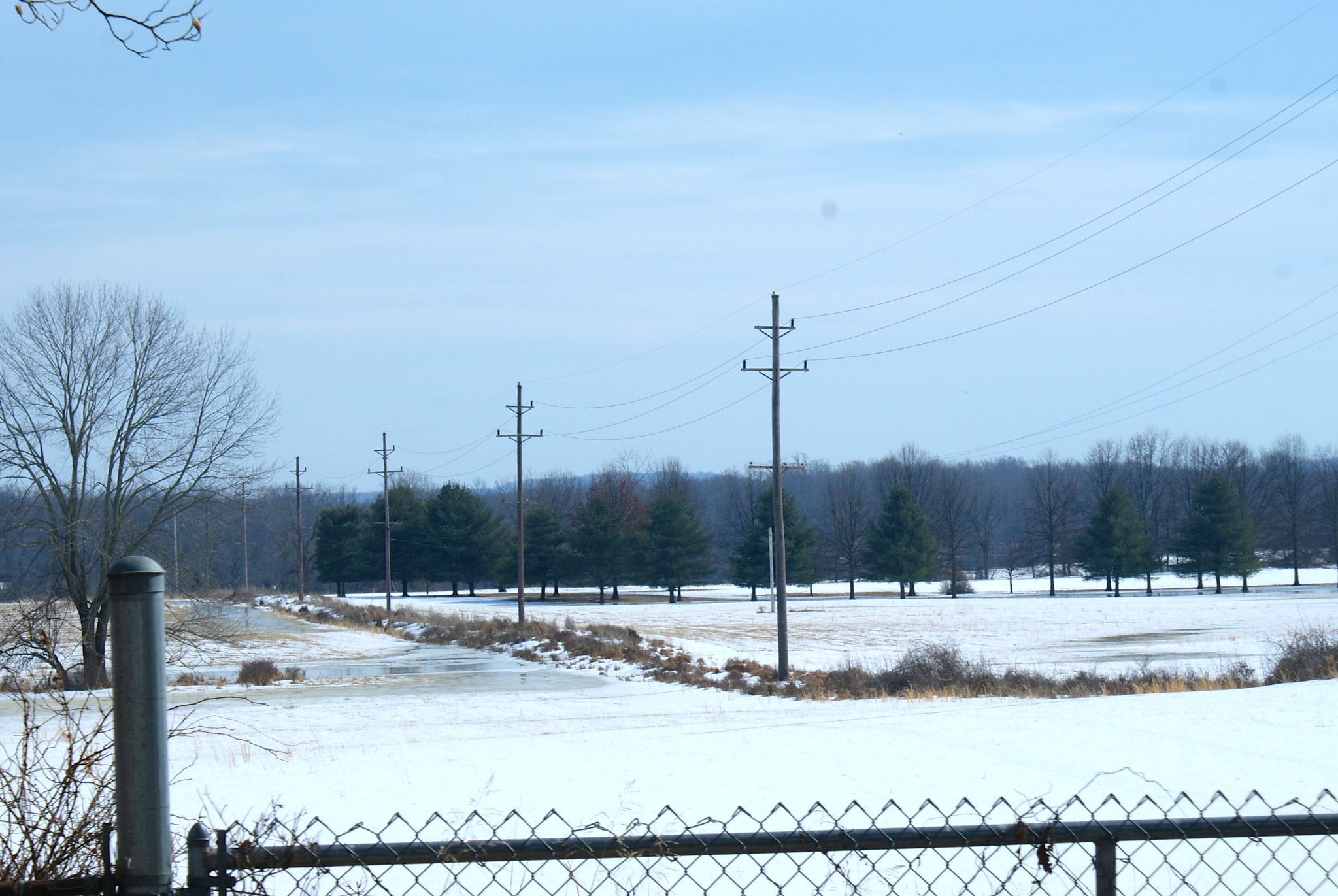
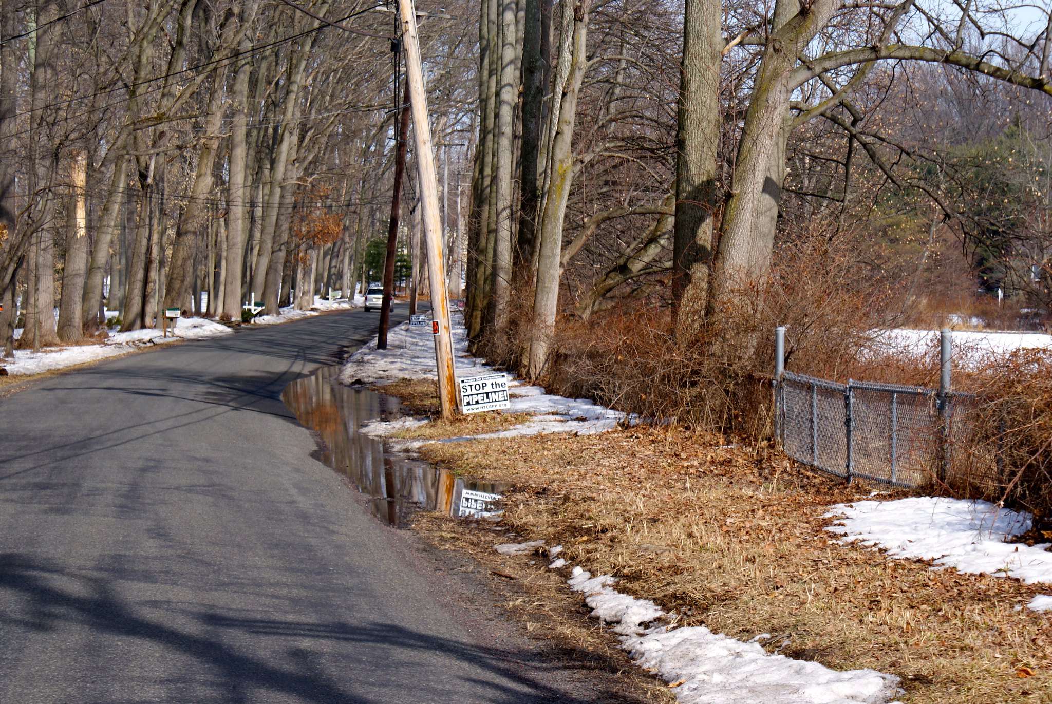
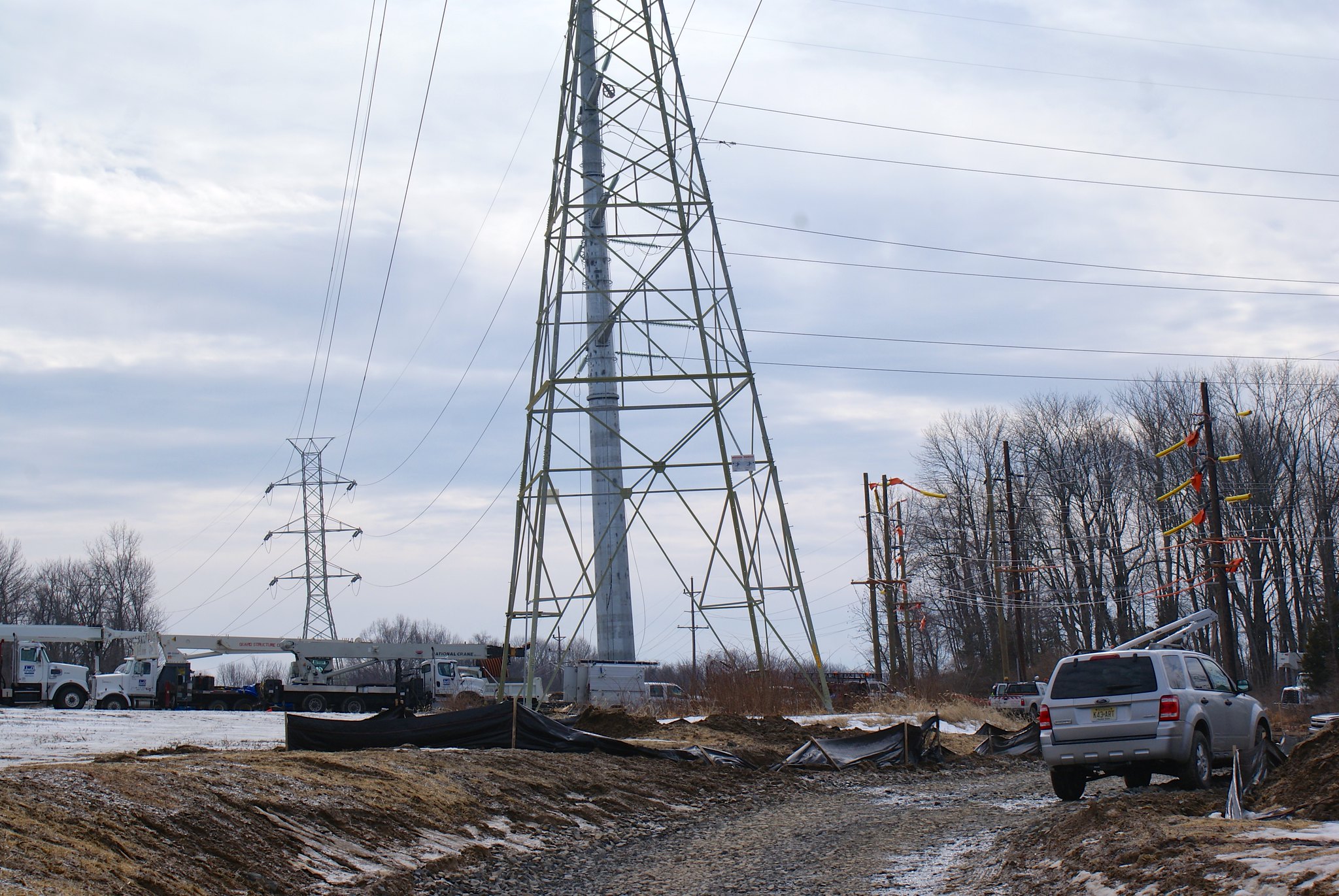
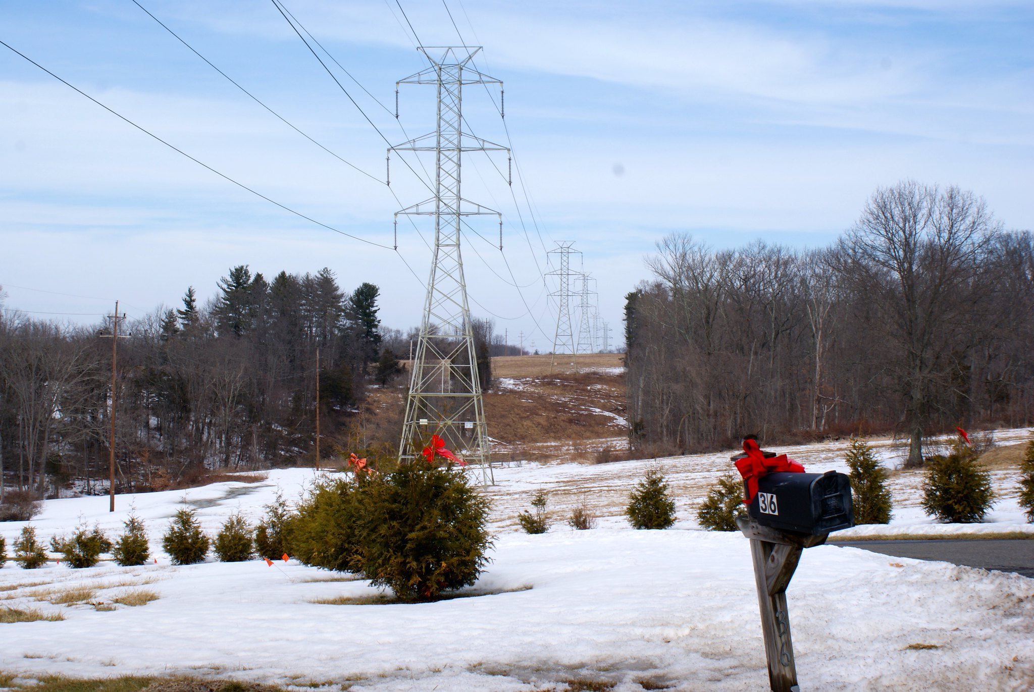
Photographing the pipeline route, Part 9: More of Kingwood

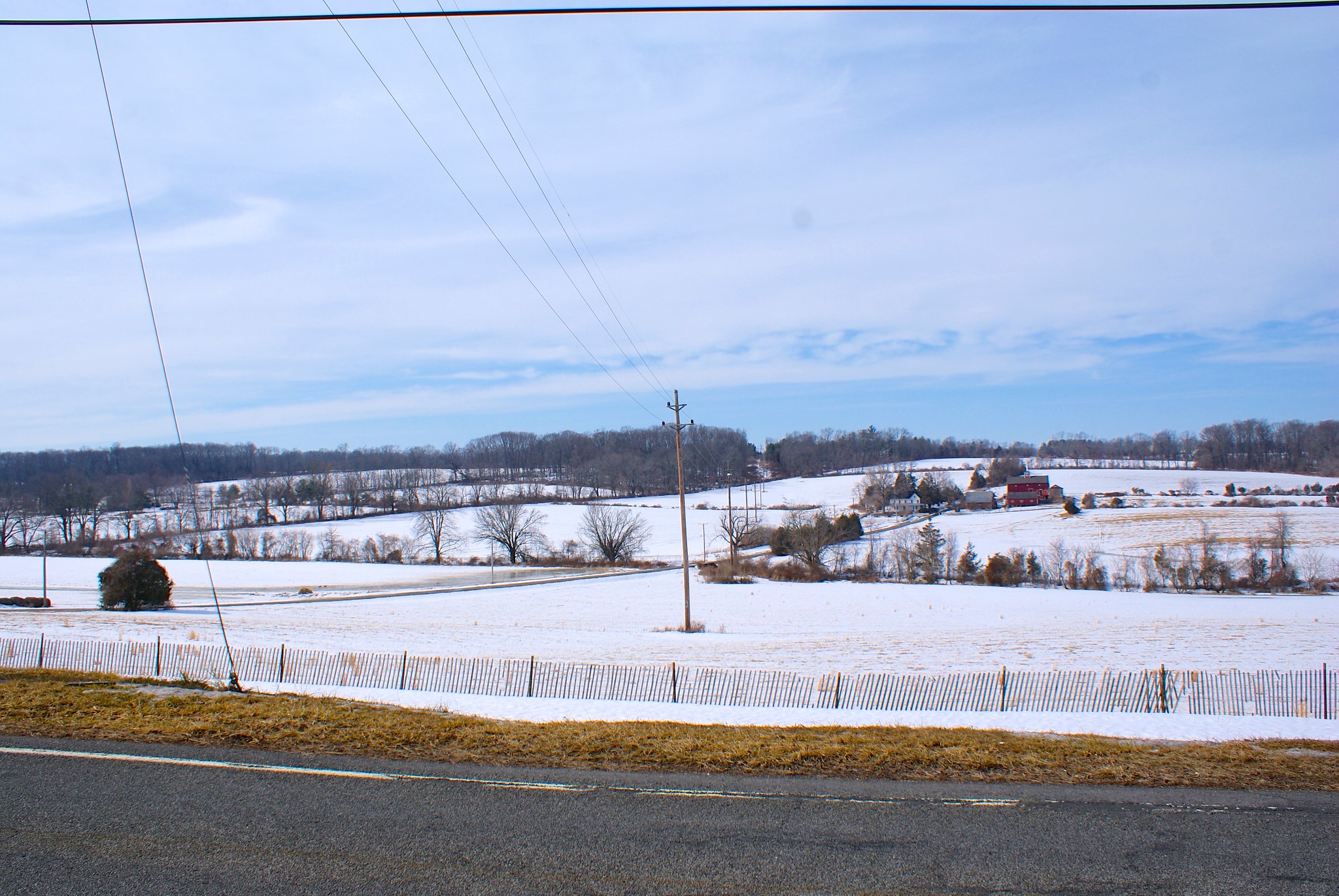
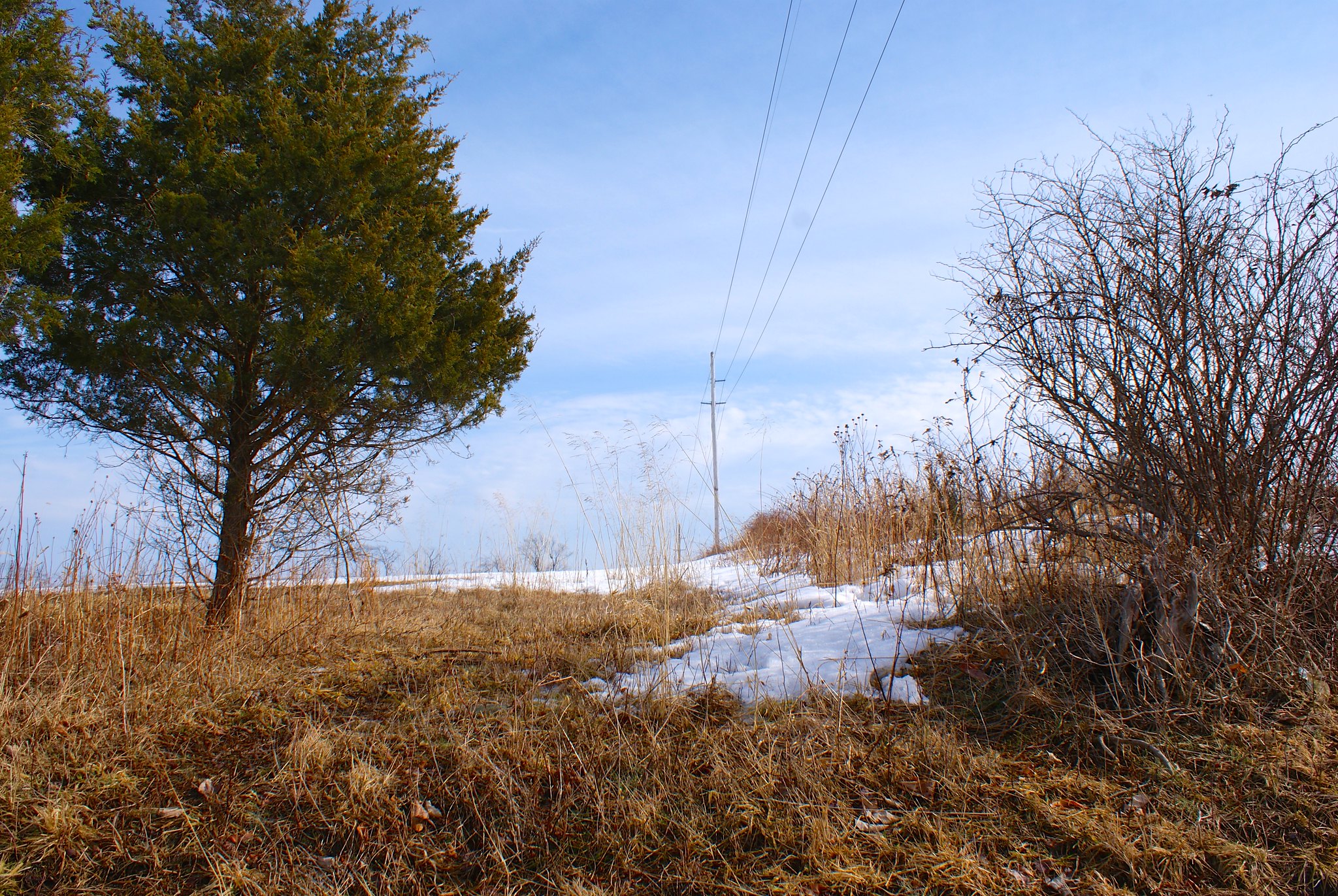
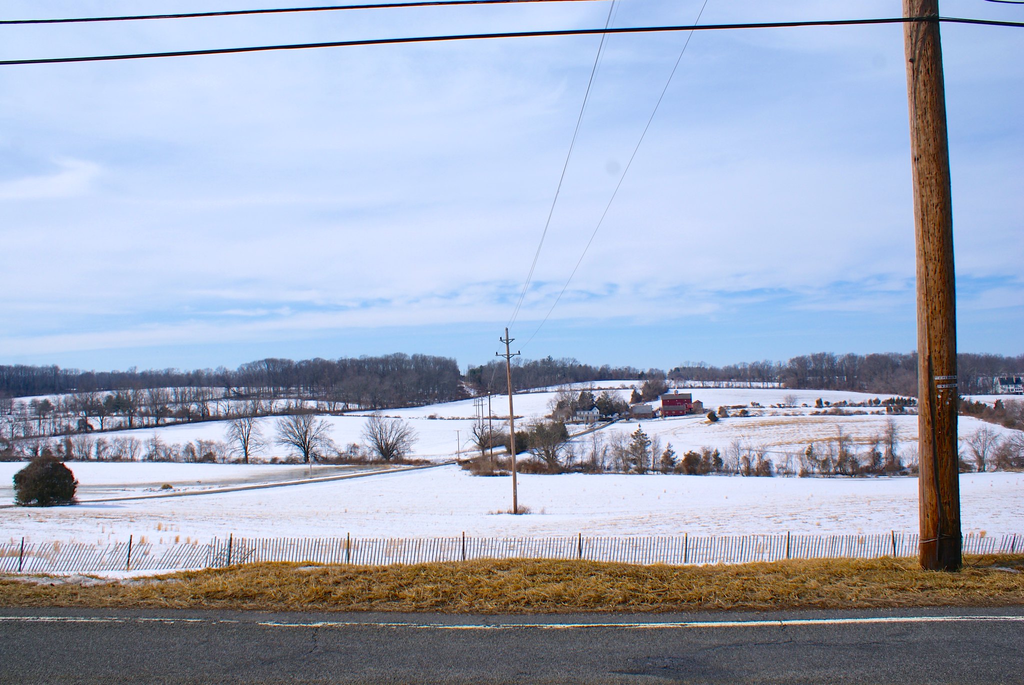
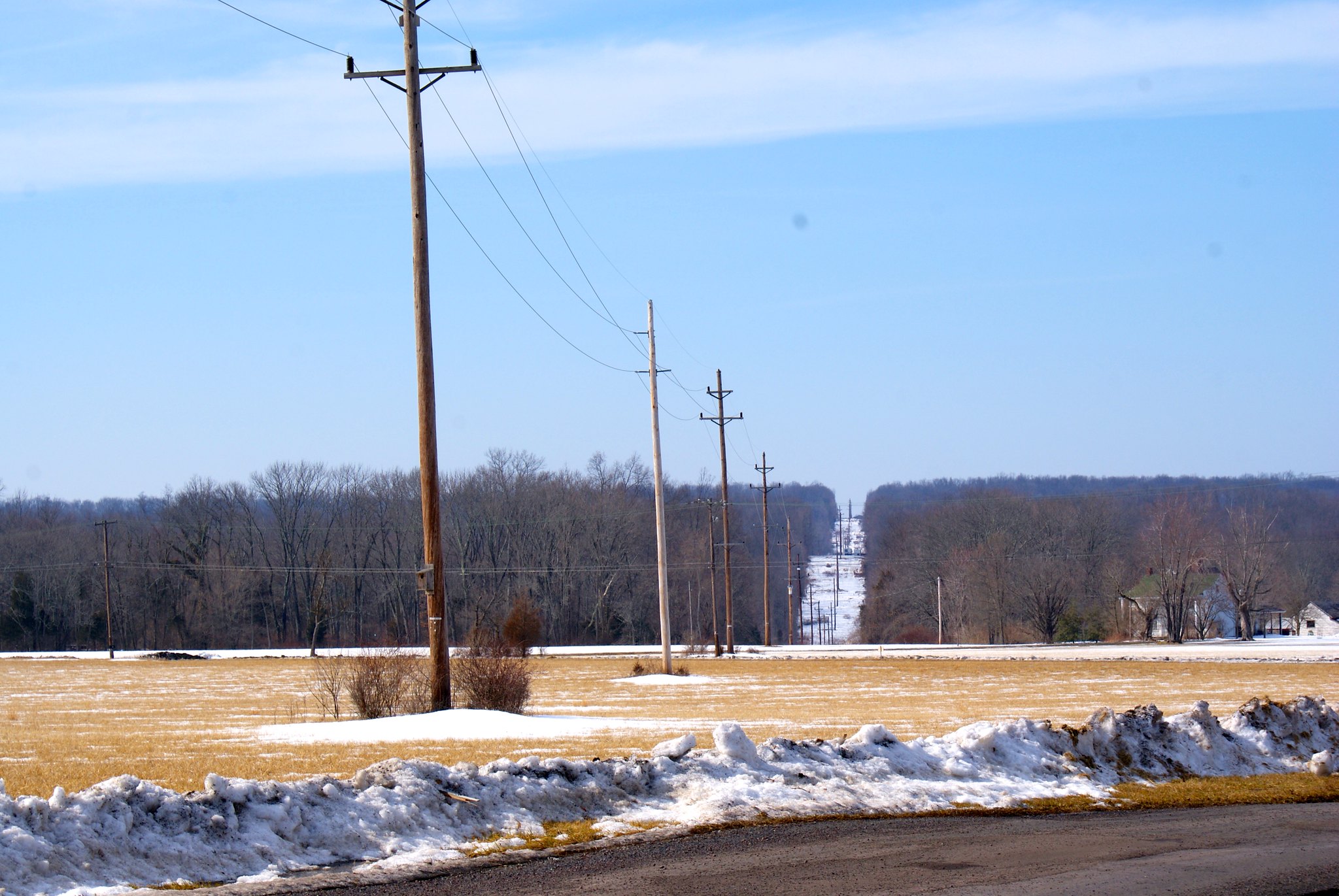
We continue in Kingwood to see such features as a pepper farm and a huge solar panel array imperiled by the pipeline route.
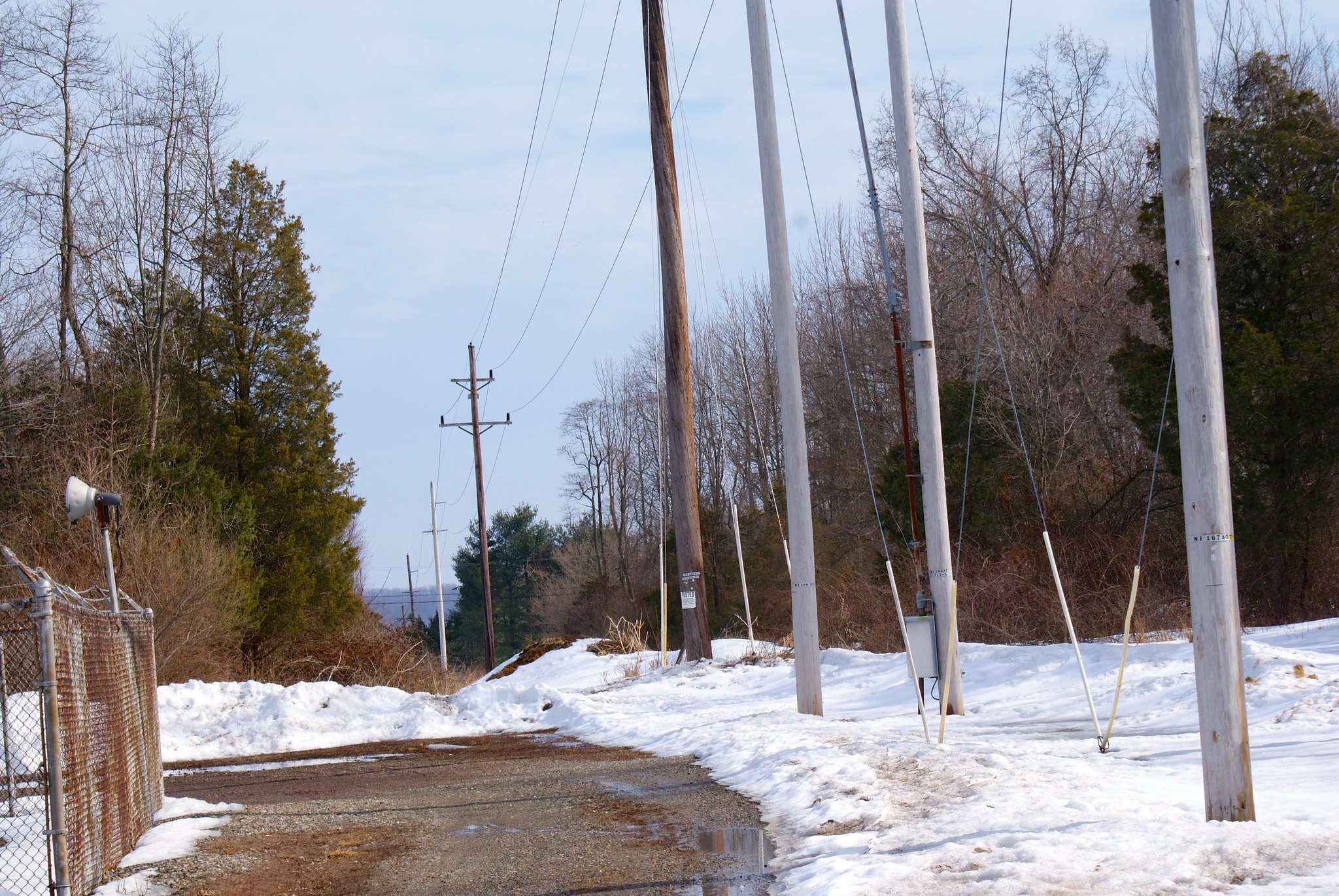
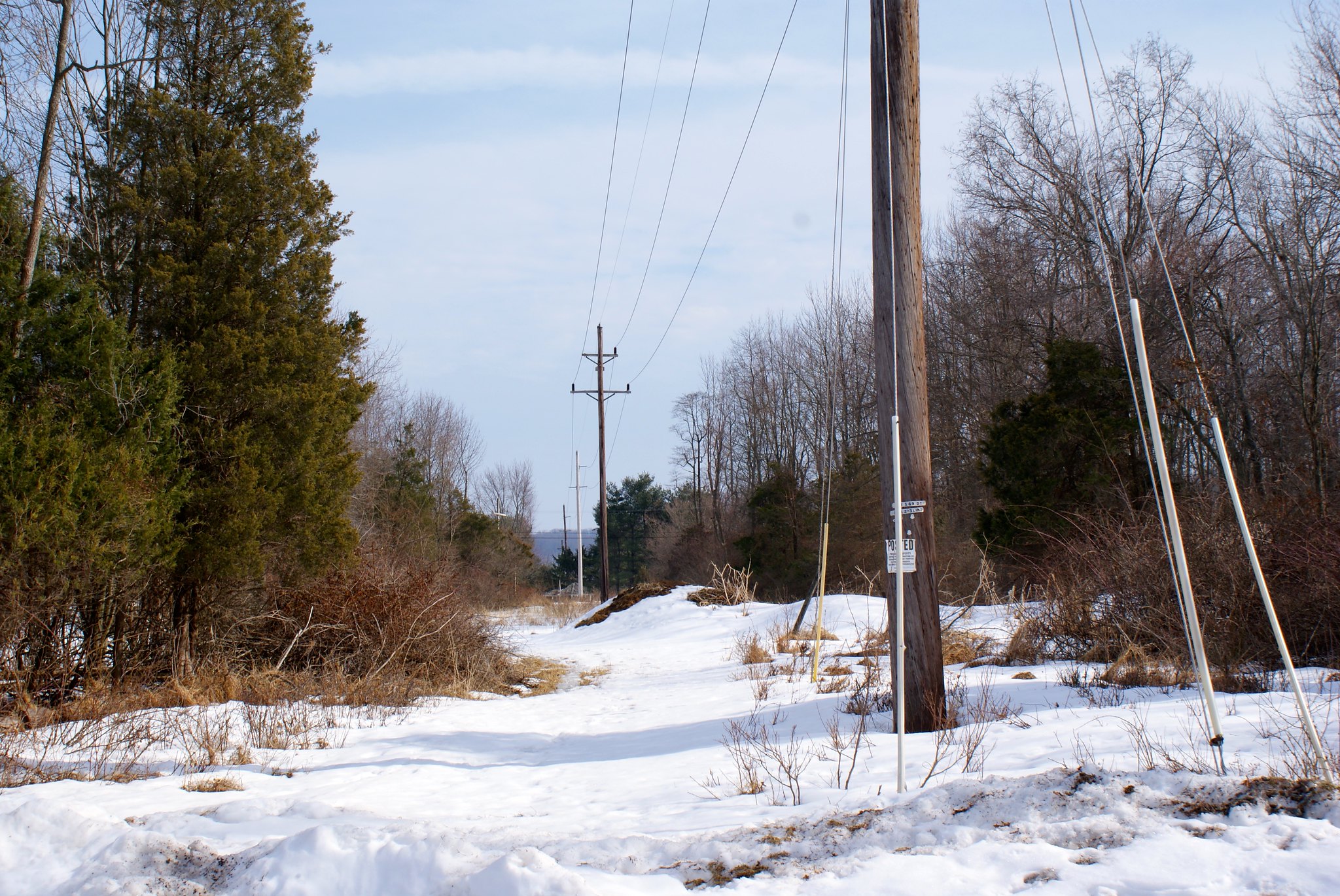
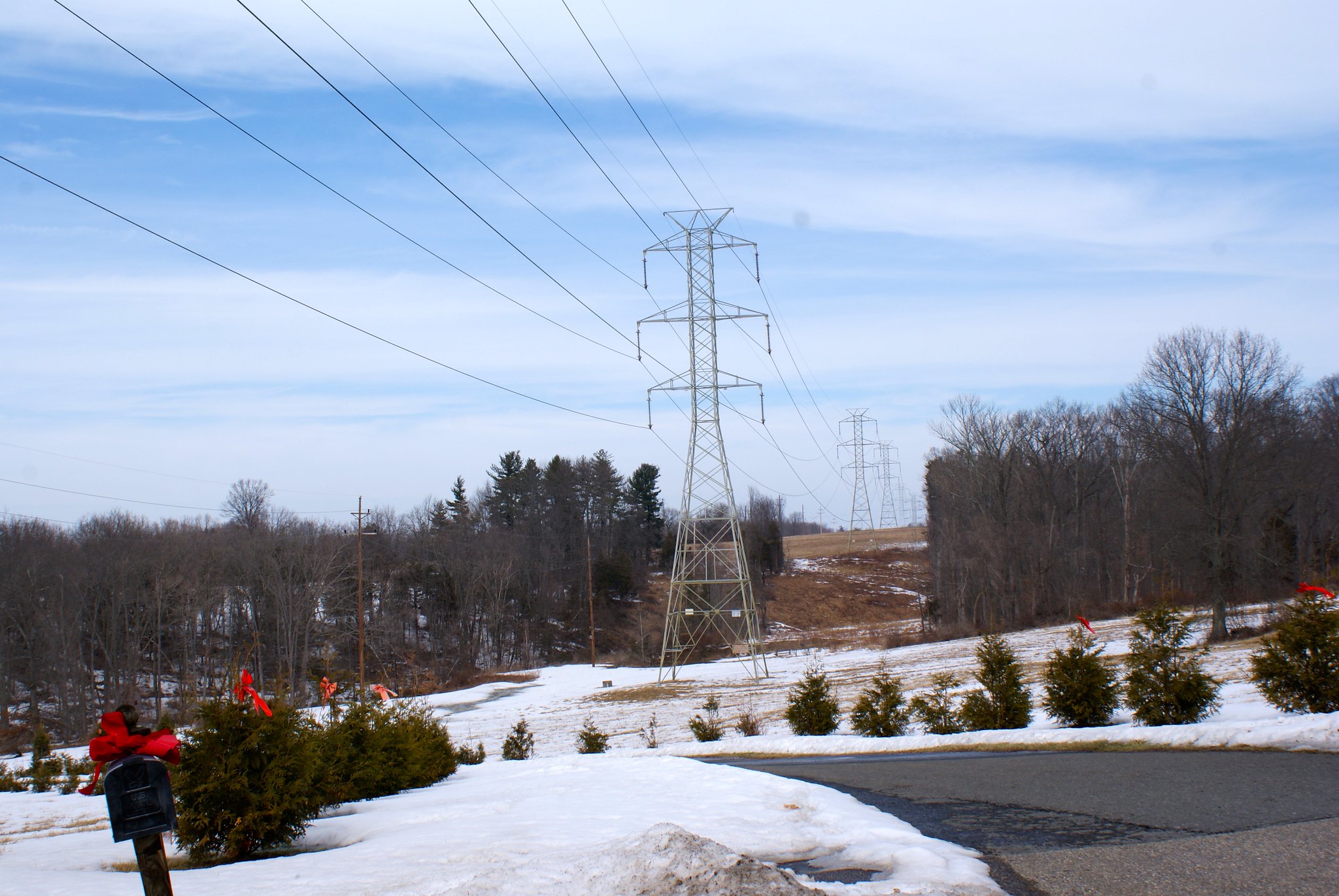
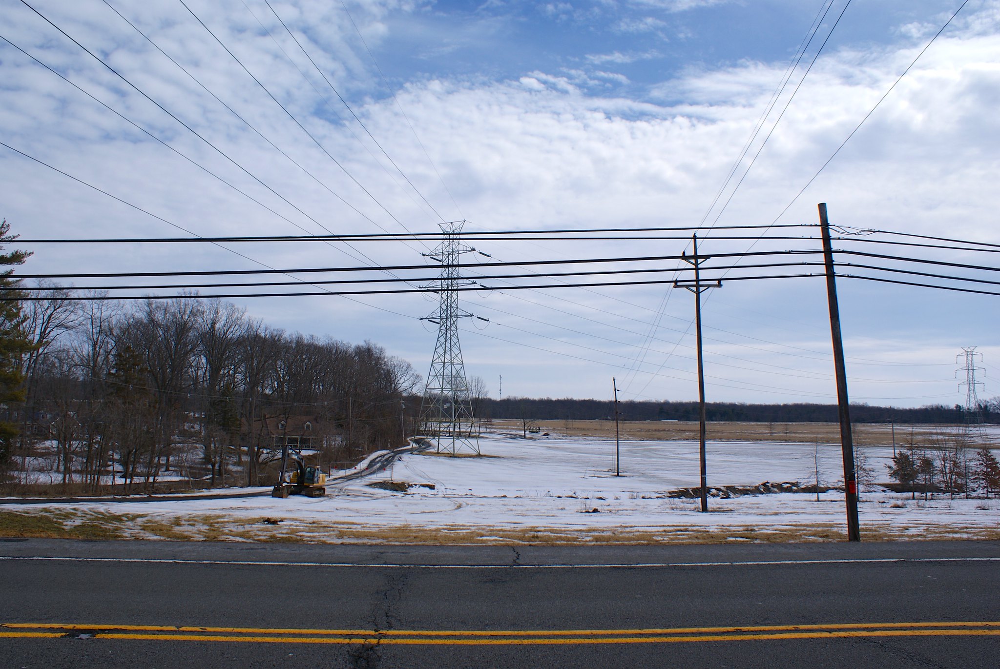
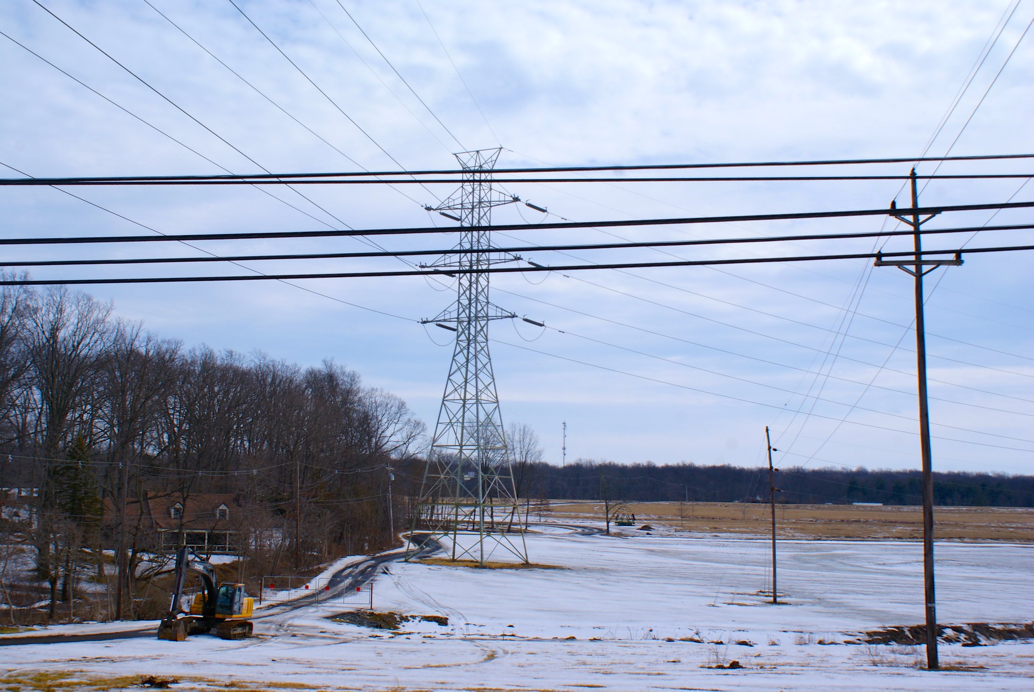
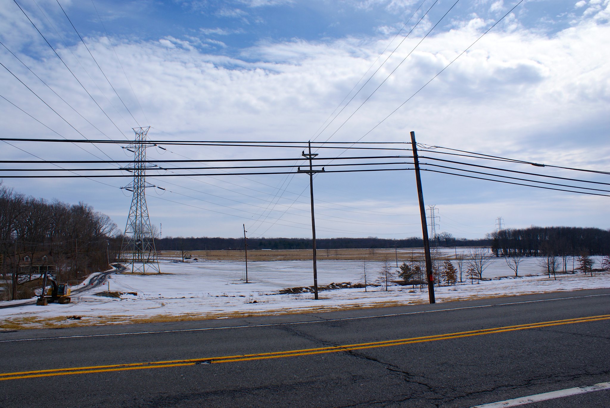
Sanford Road North Closeup
A zoomed in view to the north on Sanford Road.

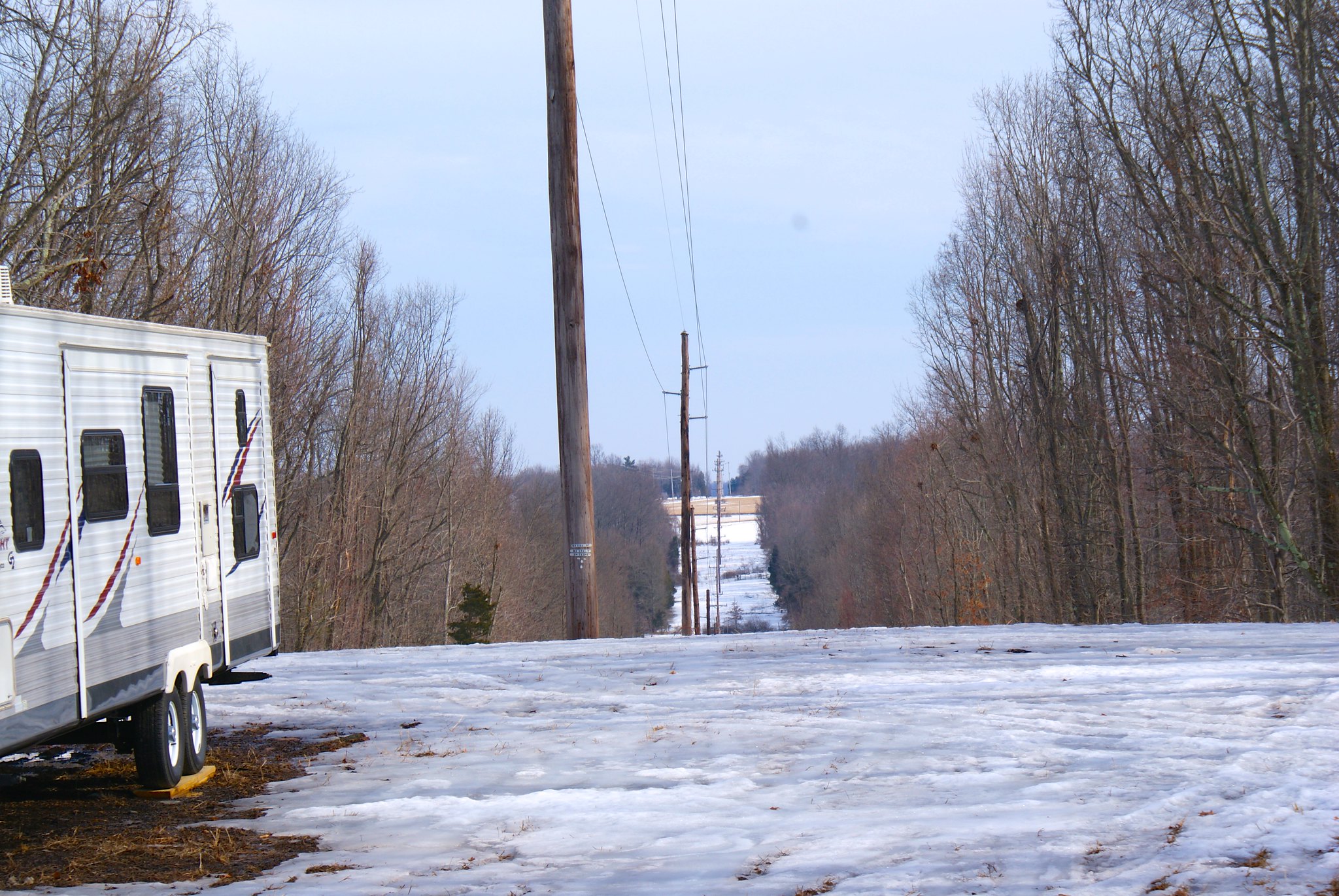
Hewitt Road (Kingwood) looking south
There are two Hewitt Roads in Hunterdon county – ours and the one here. The pipeline of course is going to cut across both of them.

More moderate hills here for the route.

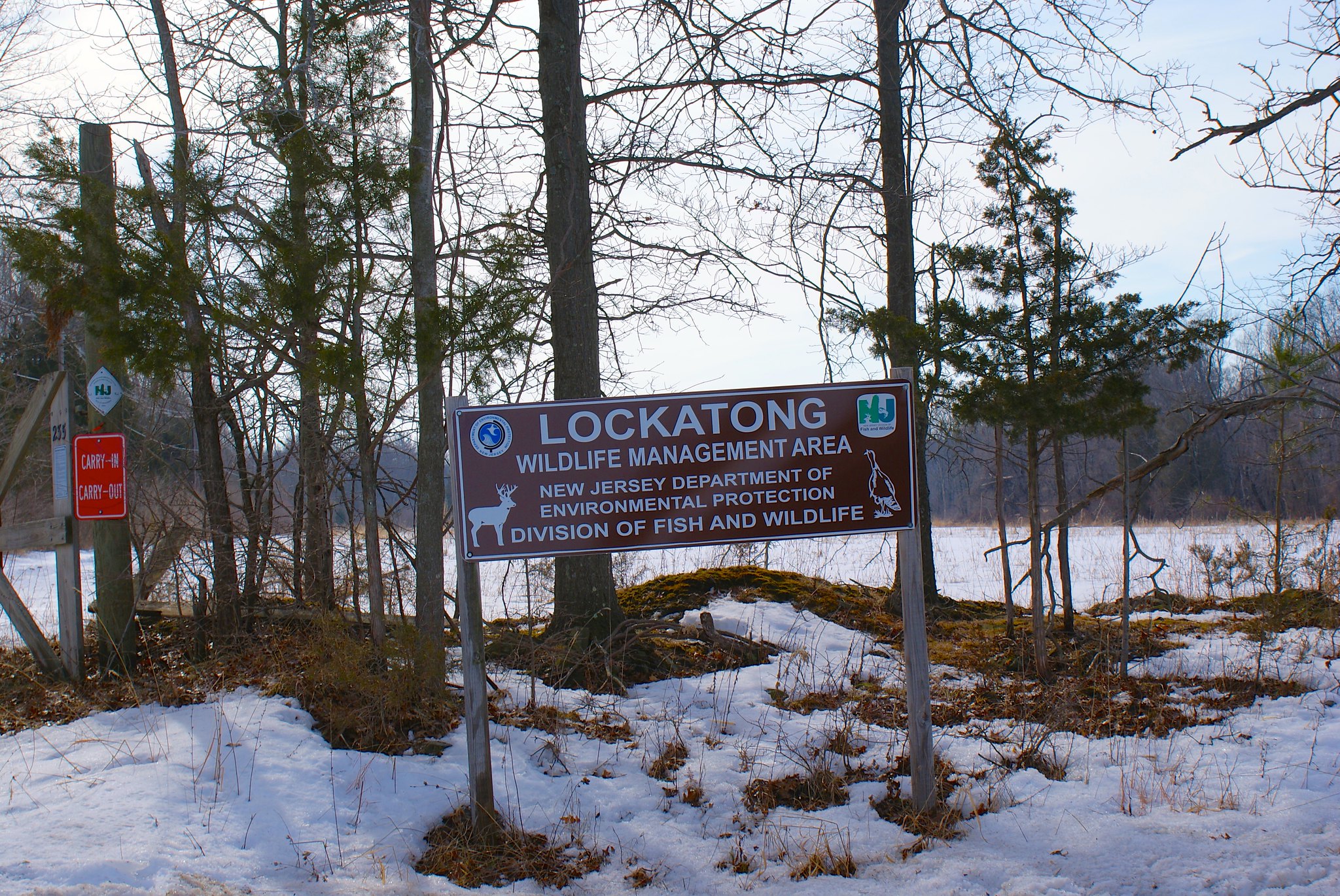
Hewitt Road Lockaton Wildlife Management Area
Sign for the Lockaton Wildlife Management Area on Hewitt Road. From what I can see the management area is a few hundred yards downstream from the pipeline route.

Feather Bed Lane looking north
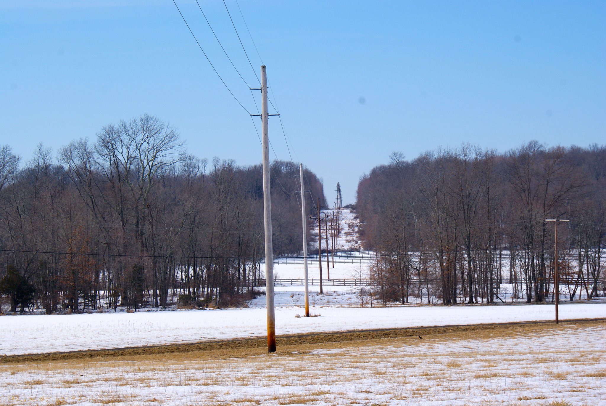
Pipeline route just clipping a horse farm on Feather Bed Lane.

Feather Bed Lane looking south
Reverse view looking southward.

Feather Bed Lane north closeup
A zoomed in shot to the north.

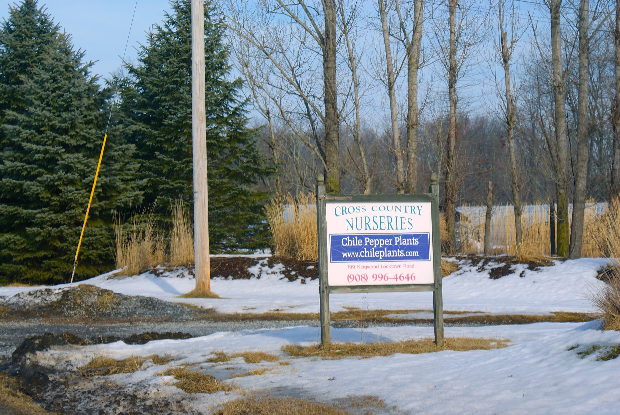
Kingwood Locktown Road Pepper Farm
Chile pepper farm on Kingwood Lockdown road. The pipeline route goes through the eastern part of their farm.

Kingwood Locktown Road Looking North
Looking north on Kingwood Lockdown Road.

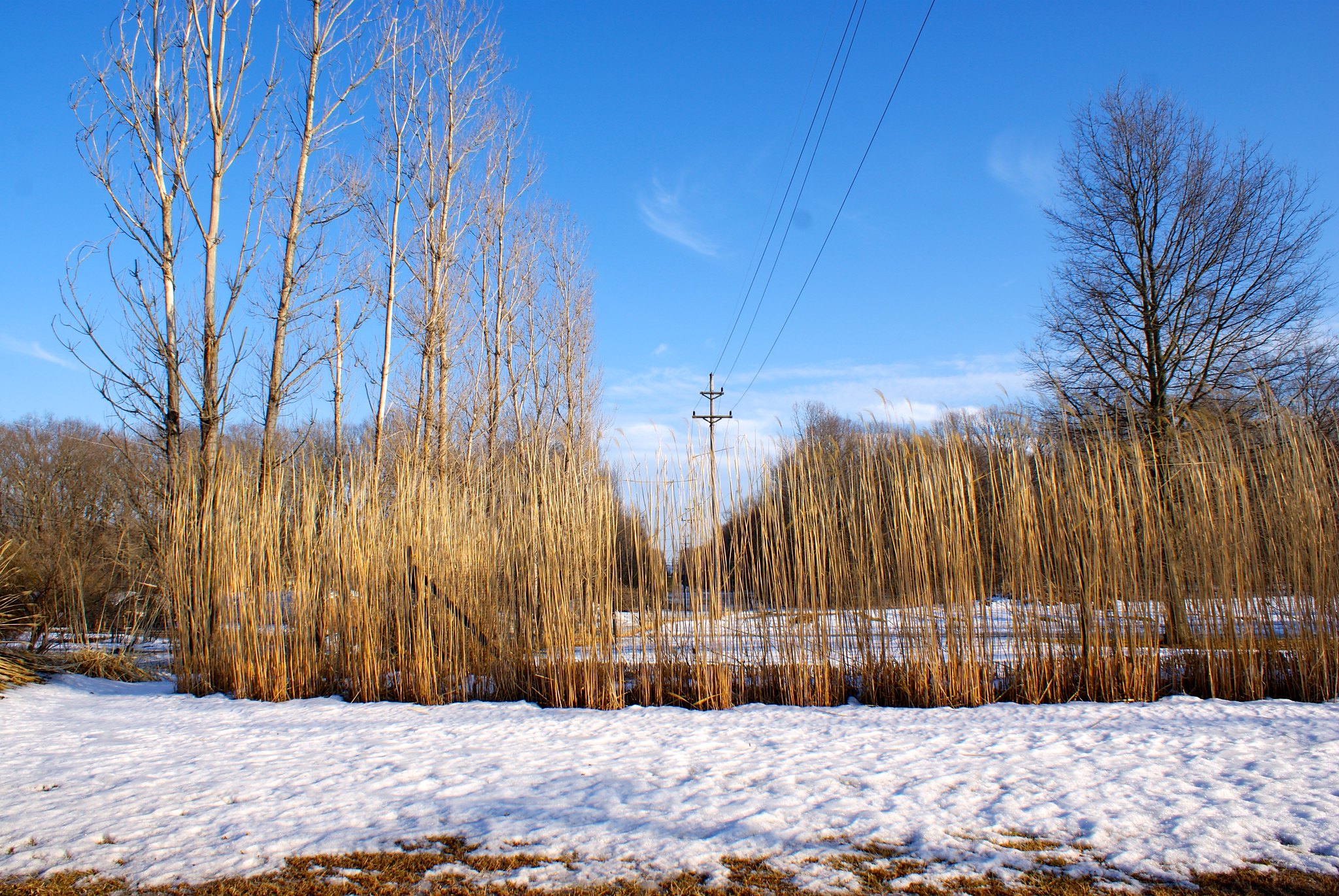
Kingwood Lockdown Road looking south
Southward view where the pipeline route goes through the chile pepper farm and apparently through some decorative grasses. It looks like they were put there on purpose to camouflage the ugly power line easement cut. And will be gone when the pipeline comes through.

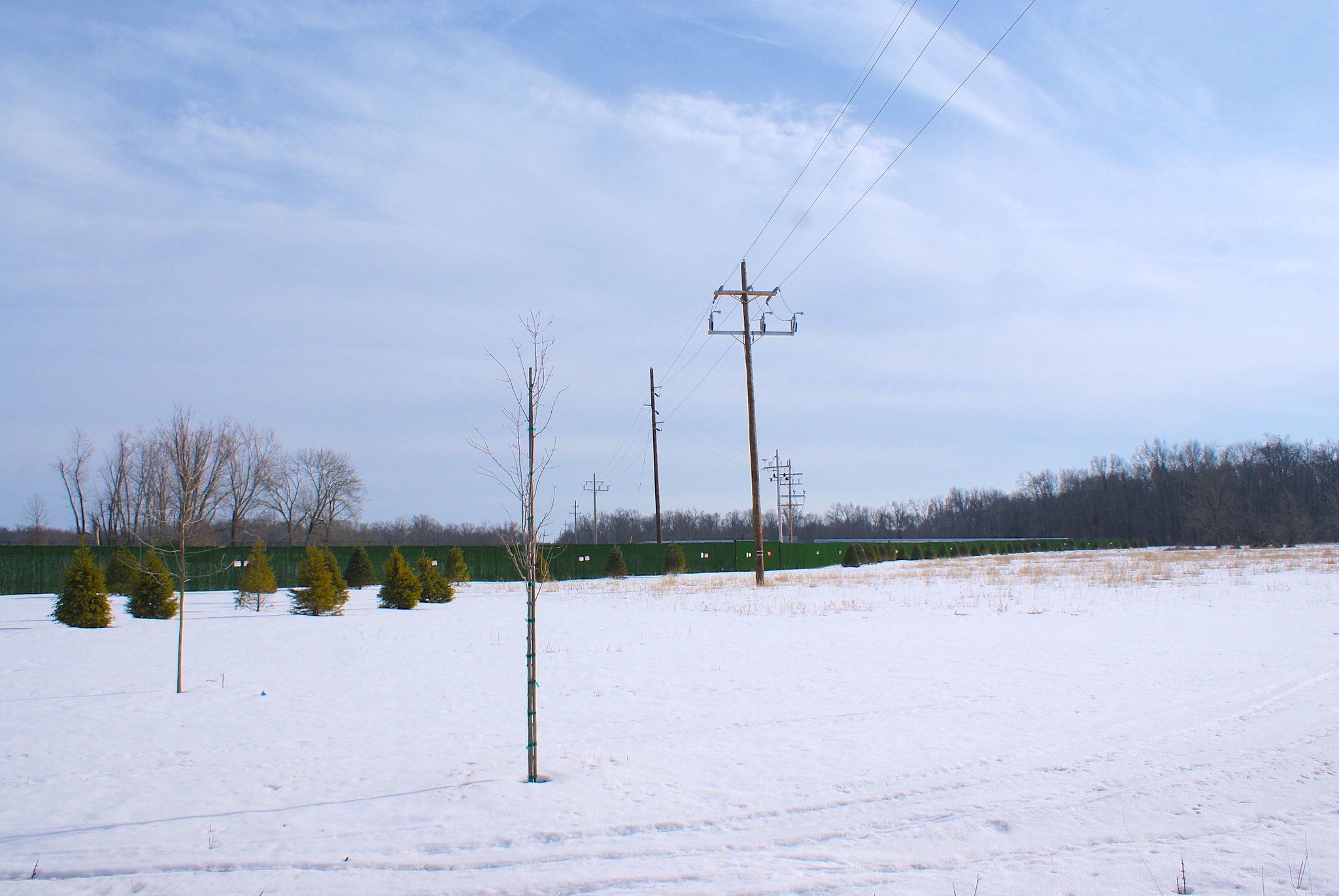
Barbertown Point Breeze Road Solar Array
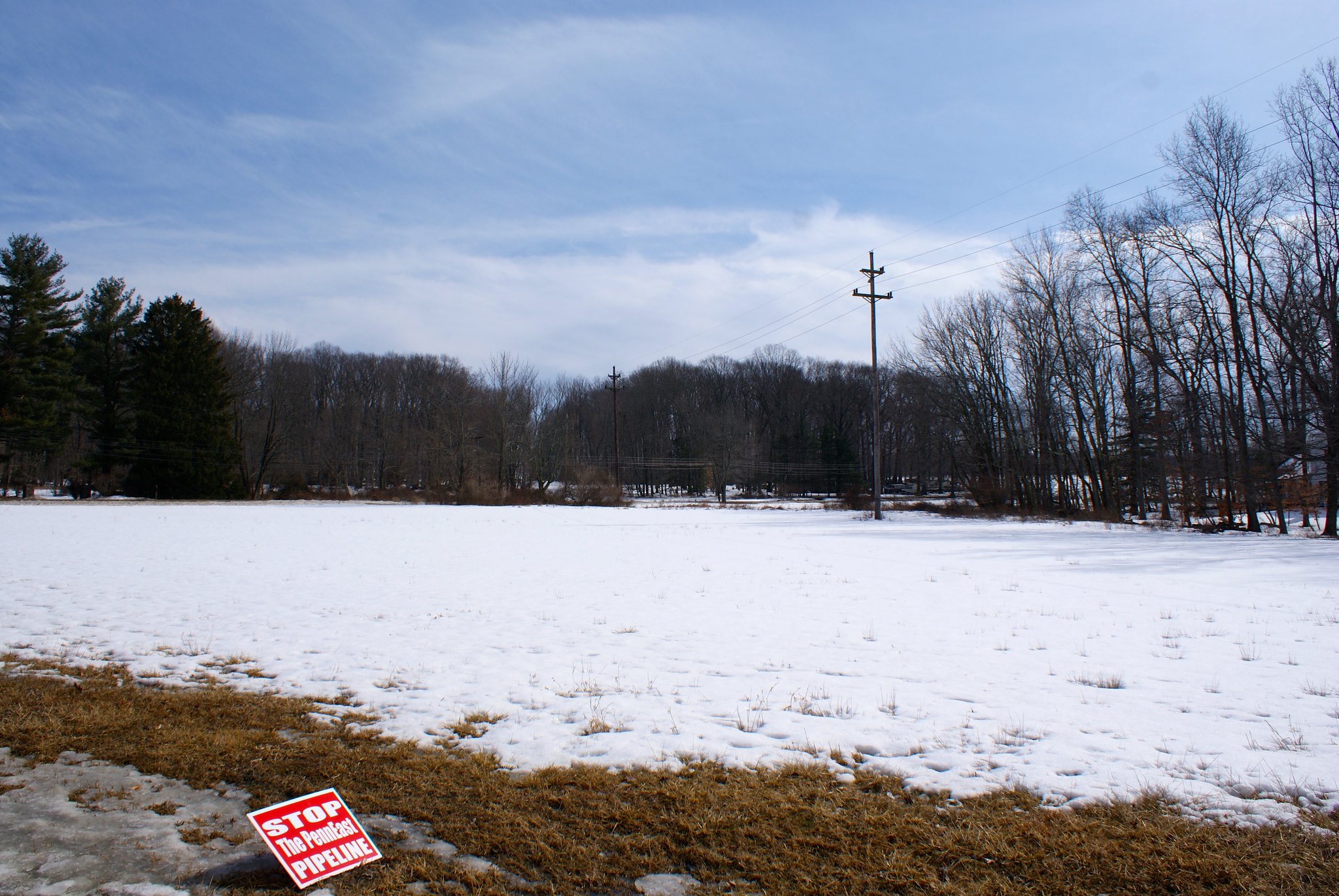
You can tell that PennEast just used Google Earth or an equivalent program to plan their route and had no feet on the ground. This solar array was just installed in the last few years and does not show up on Google Earth or Google maps. As you can see here it is real, though, and the pipeline is slated to run right through the middle of it. Good planning, guys. We can see you really did careful planning here.

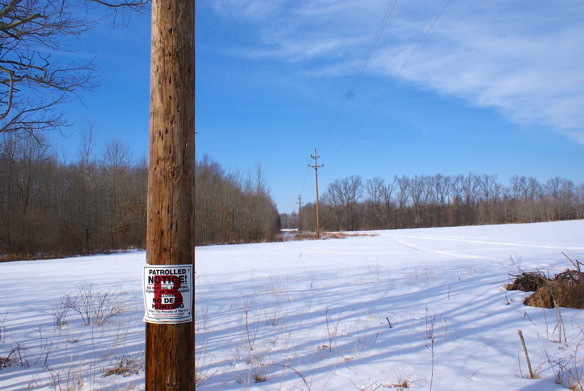
Barbertown Point Breeze Road Northward
Looking north on Barberton Point Breeze Road. I doubt the sportsmen club will be happy with this development.

Barbertown Point Breeze Road Wide Angle
A wide angle shot of previous view.

Photographing the pipeline route, Part 8: Kingwood Township and the Last Covered Bridge

Part 8 starts in Delaware Township but quickly takes us into Kingwood Township, NJ.  This is very hilly terrain with many, many creeks and a very rural character.  It’s also home to the last covered bridge left in New Jersey.
The Last Covered Bridge
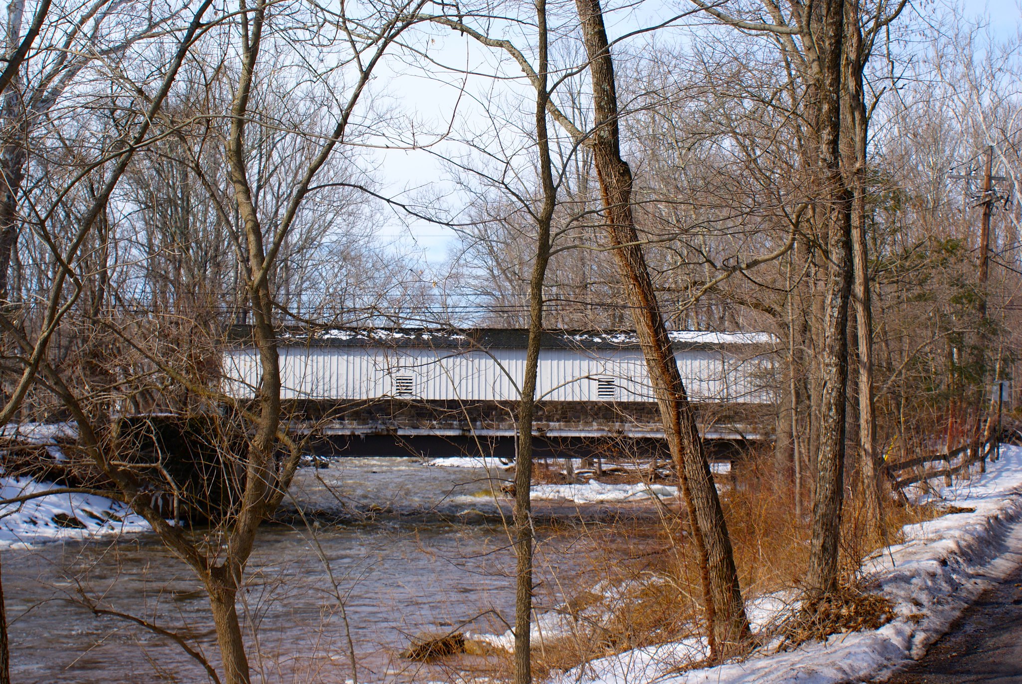
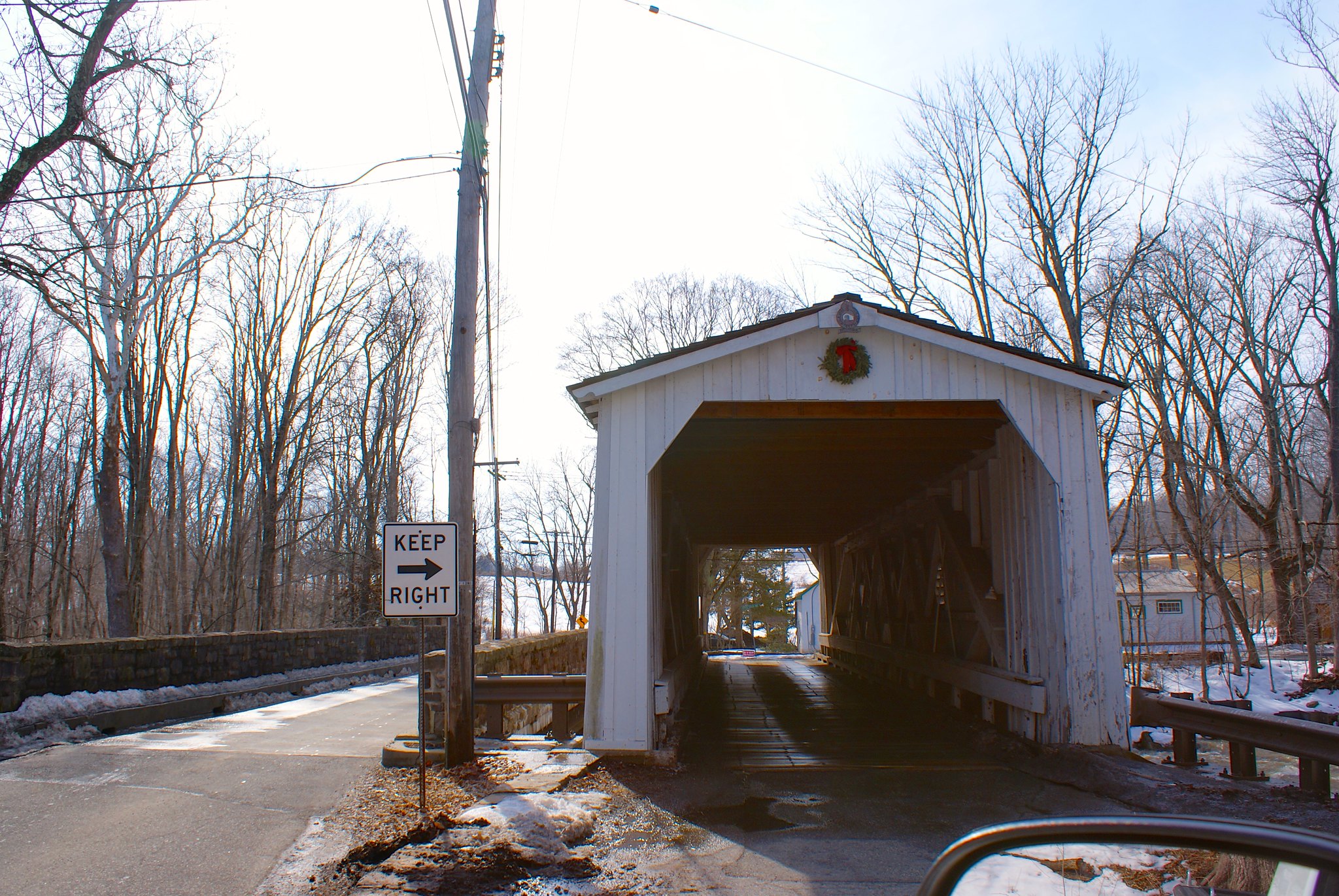
The pipeline route is less than a mile from the last covered bridge in existence in New Jersey, the Green Sergeant Covered Bridge.

The Last Covered Bridge head-on
A head on shot of the bridge.

Lower Creek Road Wickecheoke Preserve Sign
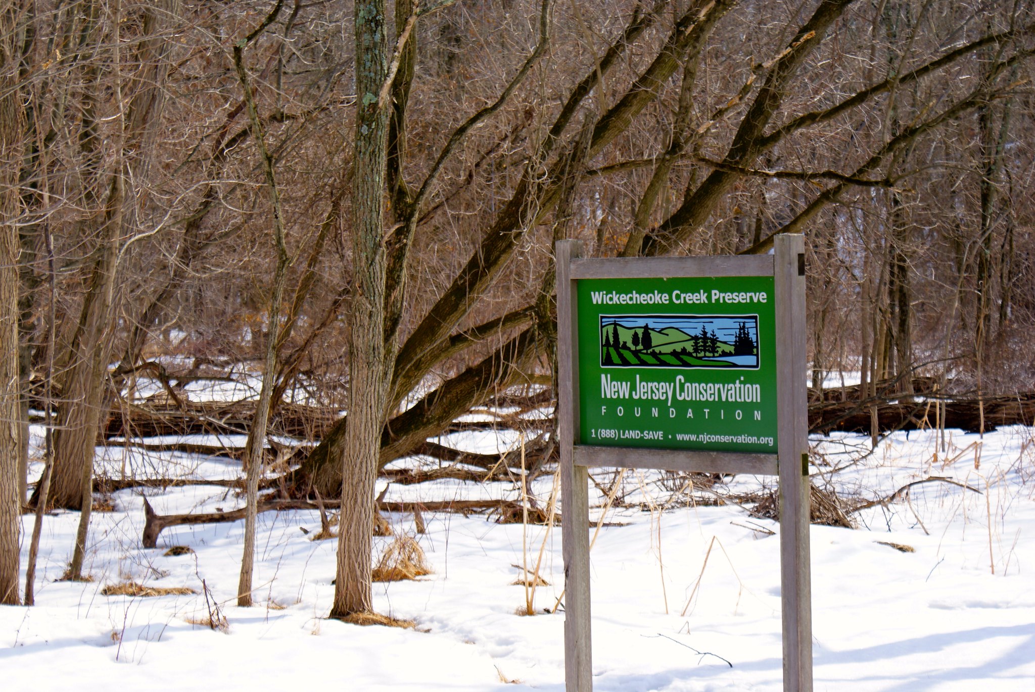
A sign showing the Wichecheoke Preserve I had mentioned in a previous post.

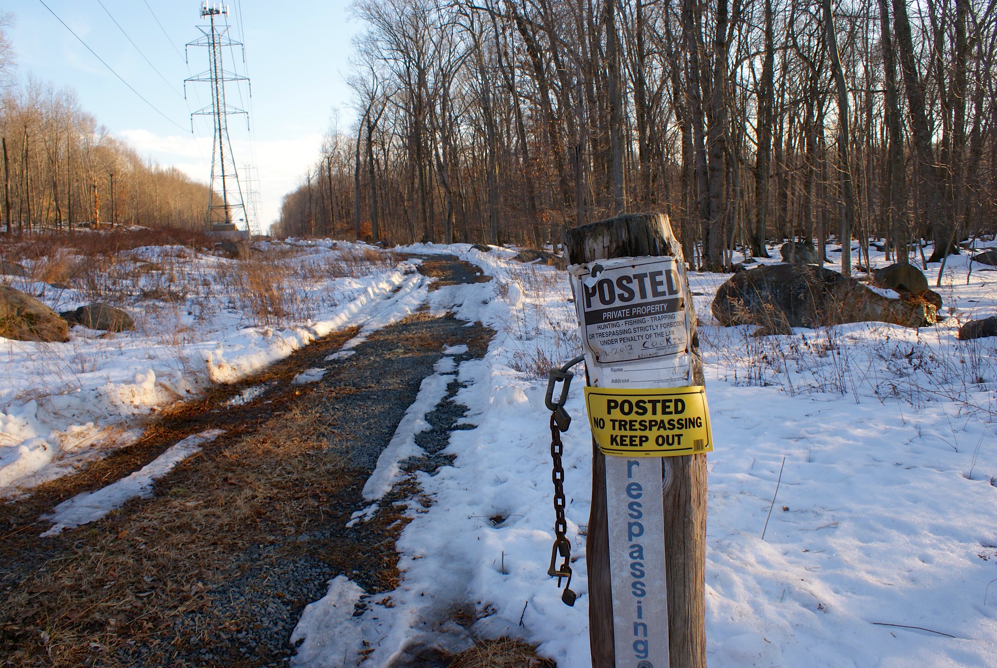
Rosemont Ringoe’s Road Posted
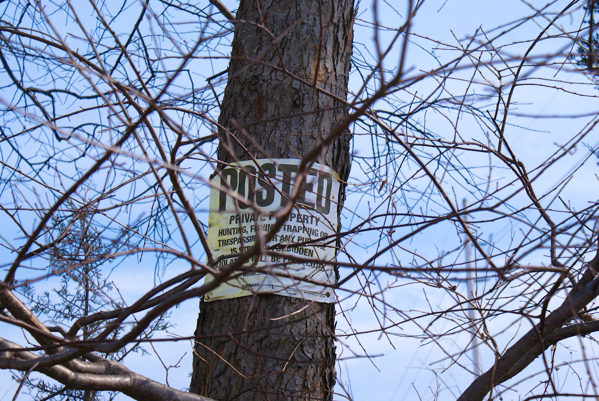
Posted on Rosemont Ringoe’s road. Apparently this road has two concatenated names but I’m just going to stick with this one to save my fingers typing.

Rosemont Ringoe’s Road Farm
The PennEast pipeline is routed to cut this farm in half, including cutting across the farm house driveway. The pipeline route will be next to the electrical poles.

Rosemont Ringoe’s Road View South
The view to the south from Rosemont Ringoe’s Road. A bit steep.

Rosemont Ringoe’s Road alternate farm view
An alternate view of the farm. This is looking to the north from the road.

Rosemont Ringoe’s Road side view of farm
A side view showing clearly how the pipeline route will cut their driveway in half along the electric easement.

Sanford Road horse rider sign
There are many, many horse farms in Delaware Township and Kingwood. One of the FERC submissions mentions it in detail. I wonder how the horses in the area are going to react to construction crews blasting down through the diabase bedrock for this pipeline?

Sanford Road view north
A view of the route from Sanford road to the north. More hills.

Sanford road view south
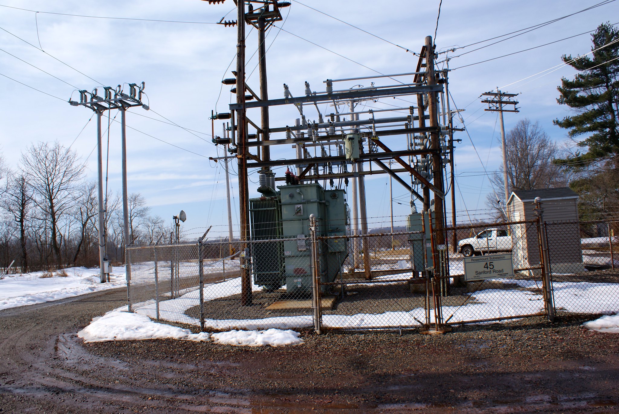
A view south from Sanford road. There’s an electric substation here and the cut is very narrow.

Sanford Road view south zoomed
A zoomed in version of the previous shot.

Sanford road electrical station
Shot of the sub-station taken from the pipeline line.

Sanford road zoomed shot north
A zoom into the north.

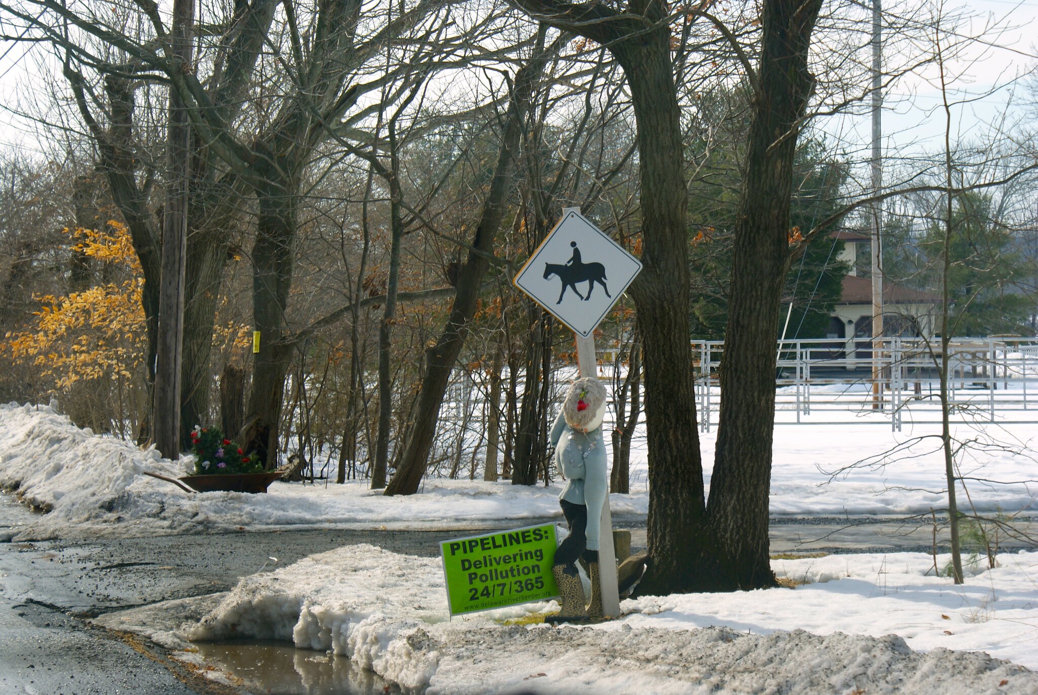
Sanford road protest sign
A creative protest presentation.

Photographing the pipeline route, Part 7: More of Delaware Township

More in Delaware Township NJ.
Worman Road
A protest sign along the route at Worman Road.

Worman Road head-on view
A head on view down the pipeline route looking south.

Worman Road to the north
A view of the route to the north. Note the really cool carriage warning sign below the speed limit sign. There are lots of those signs around this area and really shows the ultra-rural character of the region.

Covered Bridge Road Scenic View
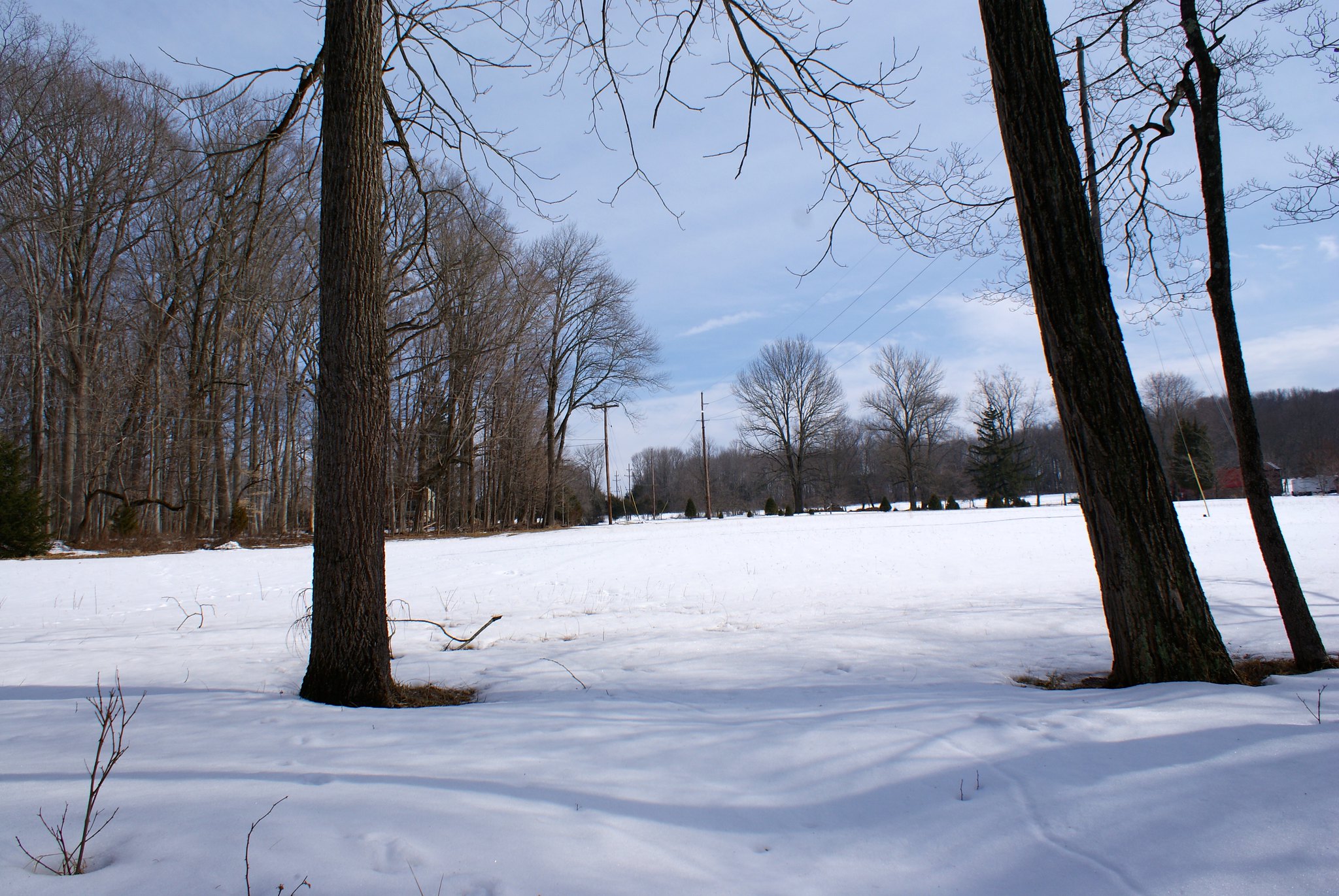
A scenic wide-angle view of the country the pipeline will be going through.

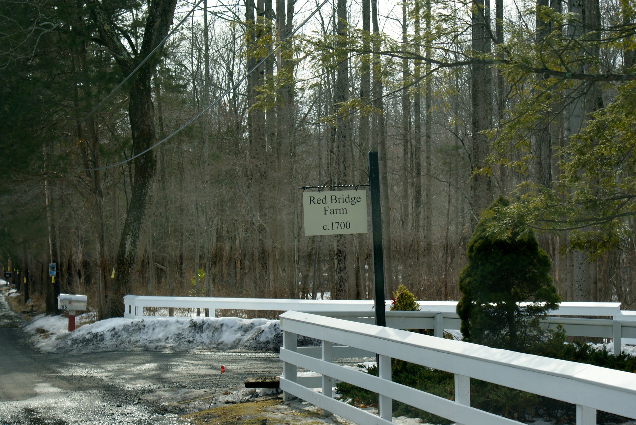
Lower Creek Road Red Bridge Farm
Lower Creek Road is a really cool road. The Wickecheoke Creek runs along side it for a great distance, and it was rough and wild after all the snow melt. This shot is the entrance to the Red Bridge Farm, which appears to have been in operation for over 300 years. The pipeline is cutting the length of their property and also going across the creek.

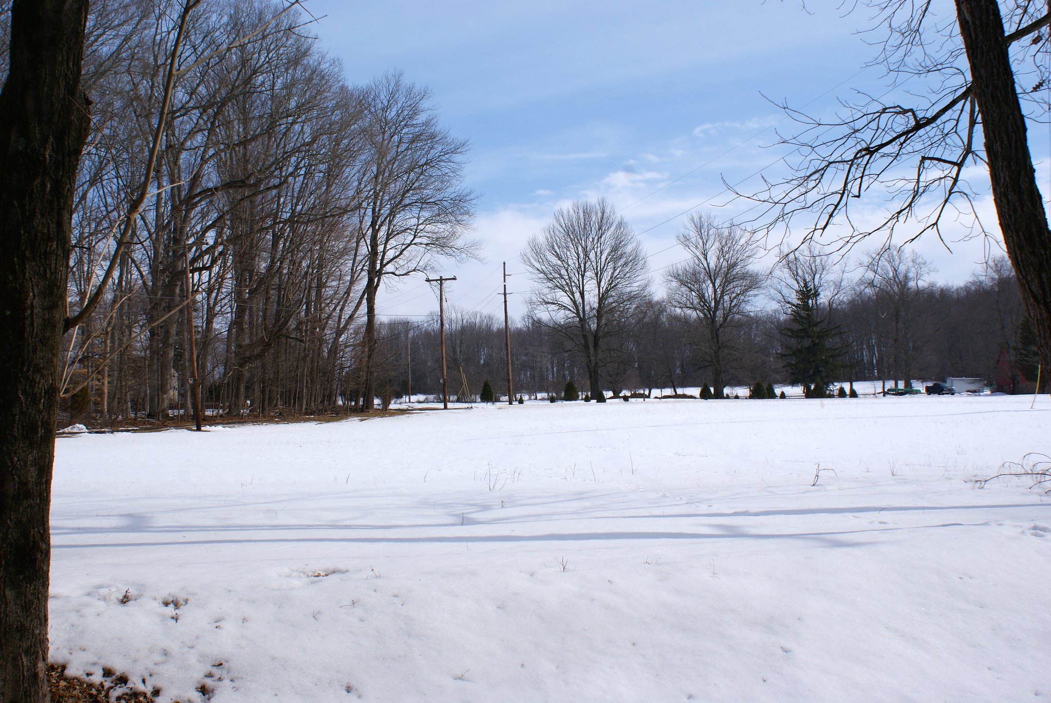
Lower Creek Road view north
There was a big pause in time between the previous shot and this one. First a car was blocking the road for awhile, someone was parked talking to a resident who was on foot. As they went by I saw it was a protest car – the whole vehicle was covered in anti-fracking stickers! I guess they were interviewing people along the route. I then had to turn around, so I turned around in the gentlemen’s driveway. And promptly backed into his mailbox. Twice. Mortified I jumped out and apologized and offered to pay of for it. He refused after several tries but we got to talking a little. He immediately wanted to know if I was pro pipeline or con. He seemed very relieved when I said “con”, and he said I was free to take as many pictures of the land as I wanted, and very pointedly said he wouldn’t let any pipeline people on his land. He went back to clearing out his drainage ditch and I got back to taking pictures.

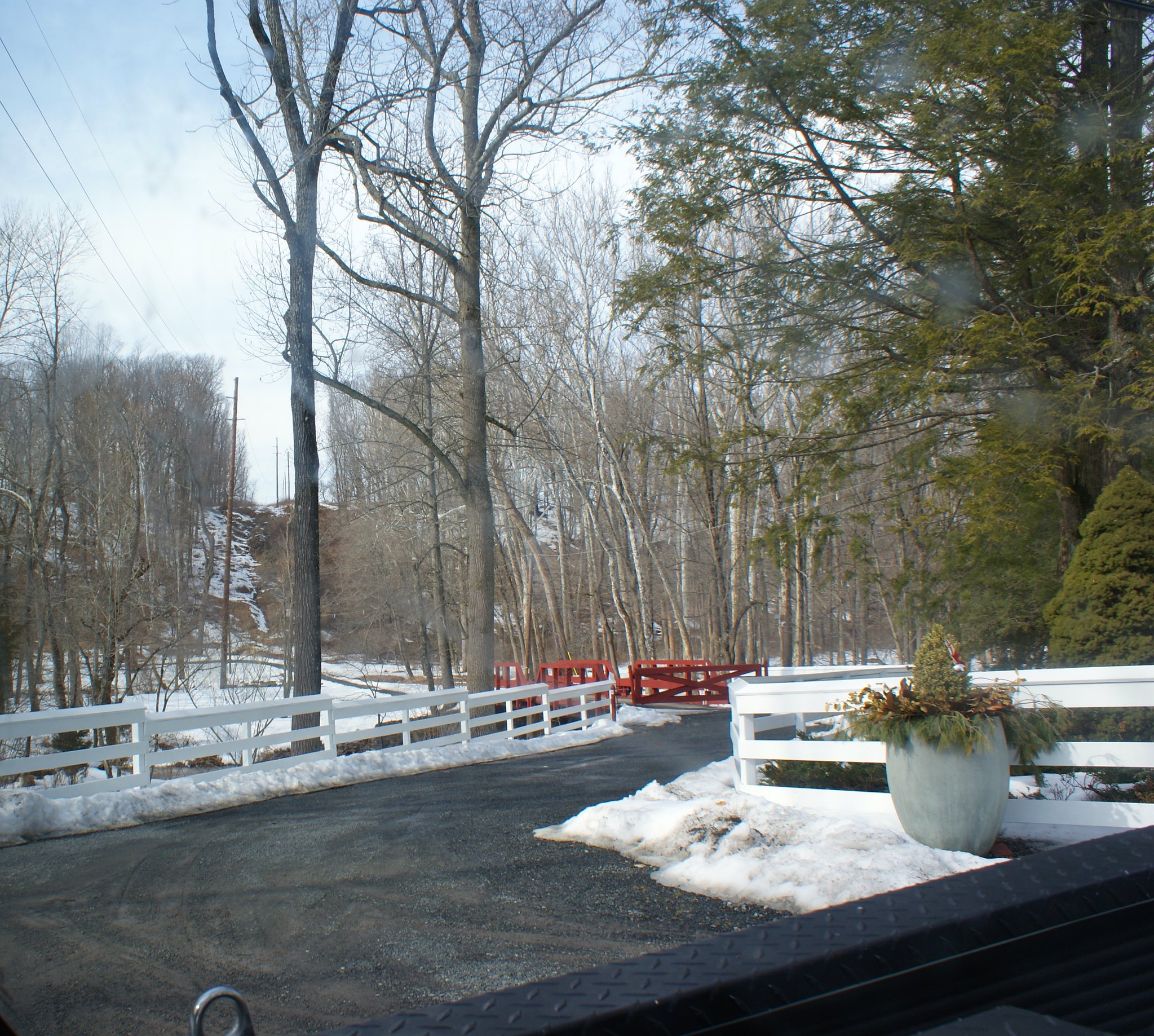
Lower creek road view south across Red Bridge Farm
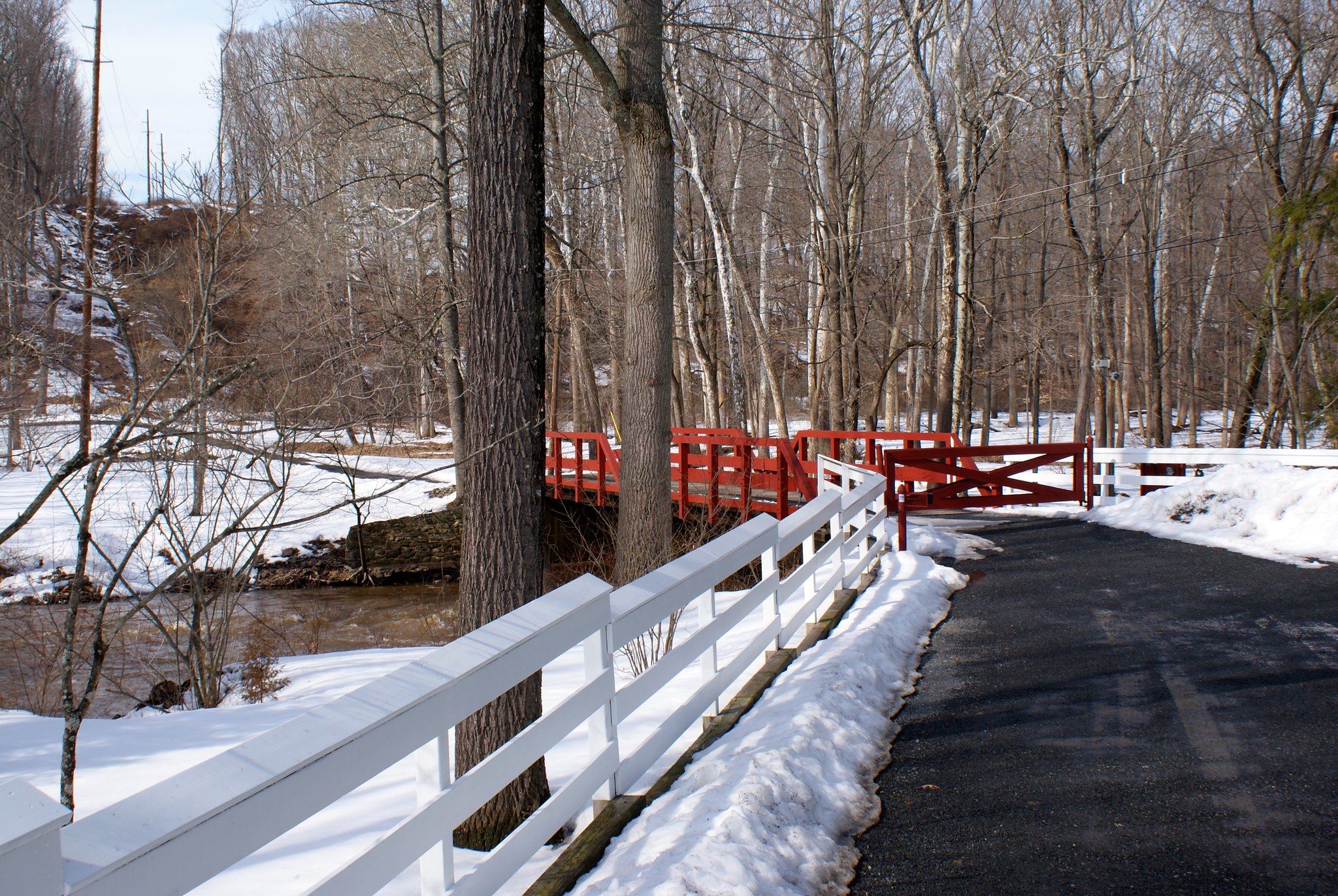
Here you can see the iconic red bridge of the Red Bridge Farm. And the pipeline route crossing the creek, cutting off their driveway, and then mounting up a very steep ridge.

Lower Creek Road, another view north
Yet another protest sign along the route.

Lower Creek Road, closeup of Red Bridge
A close up of the red bridge and steep ridge with the creek below.

Lower Creek Road north alternate view
An alternate angle looking north.

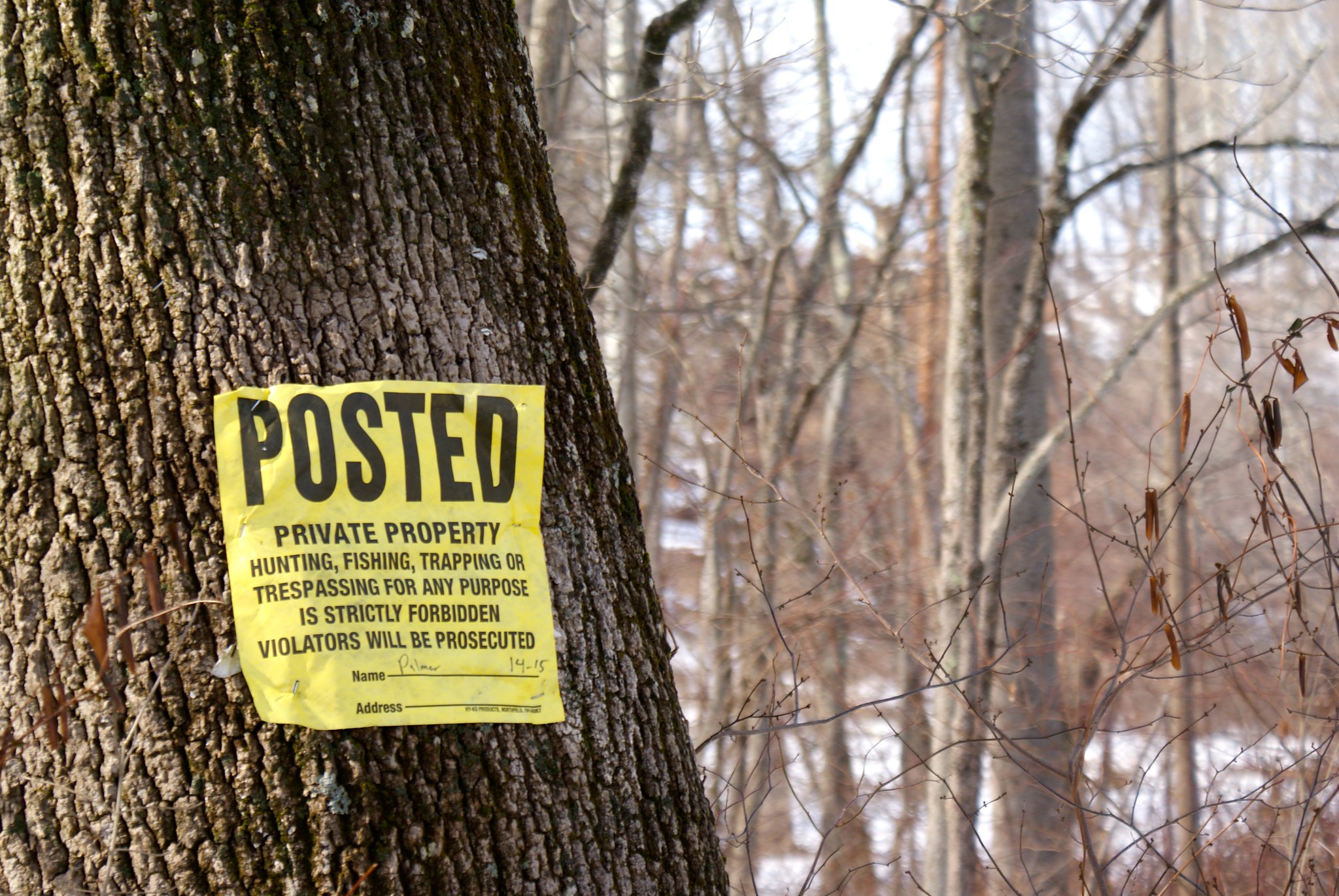
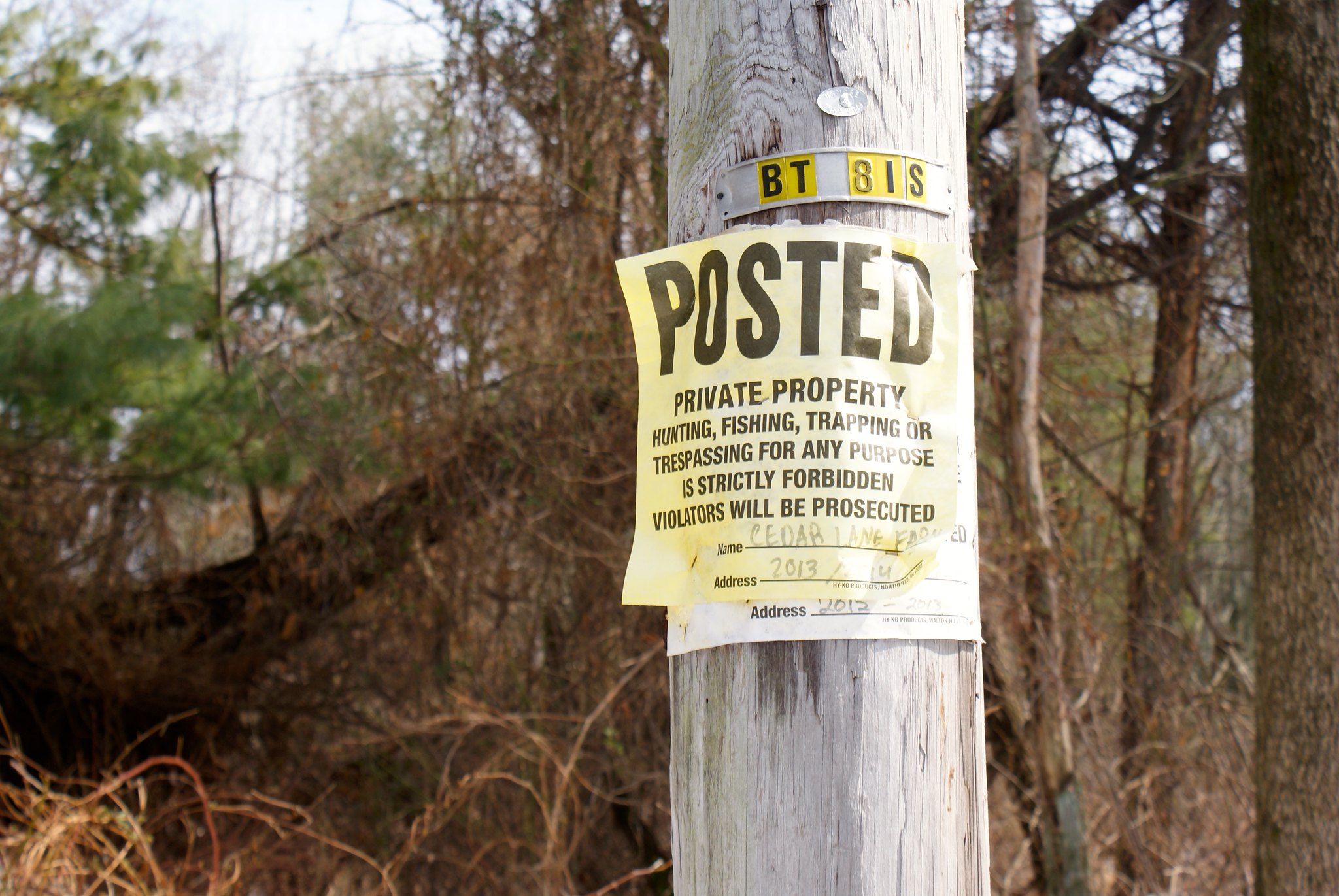
Lower Creek Road Posted
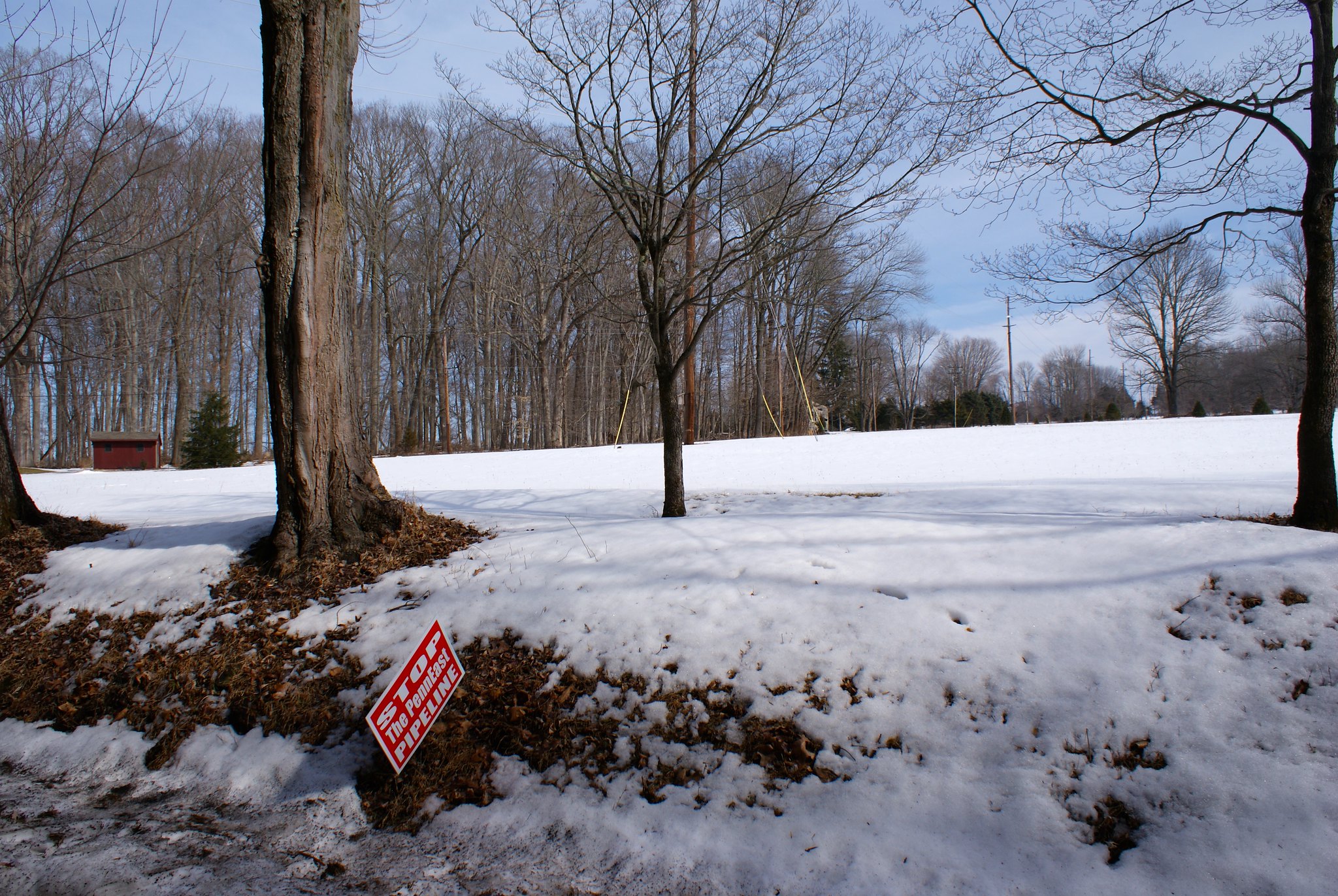
Another Posted sign along the route.

Lower Creek Road Wickecheoke view
The wild and wooly Wickecheoke after snow melt run off. The Creek has a preserve dedicated to it.

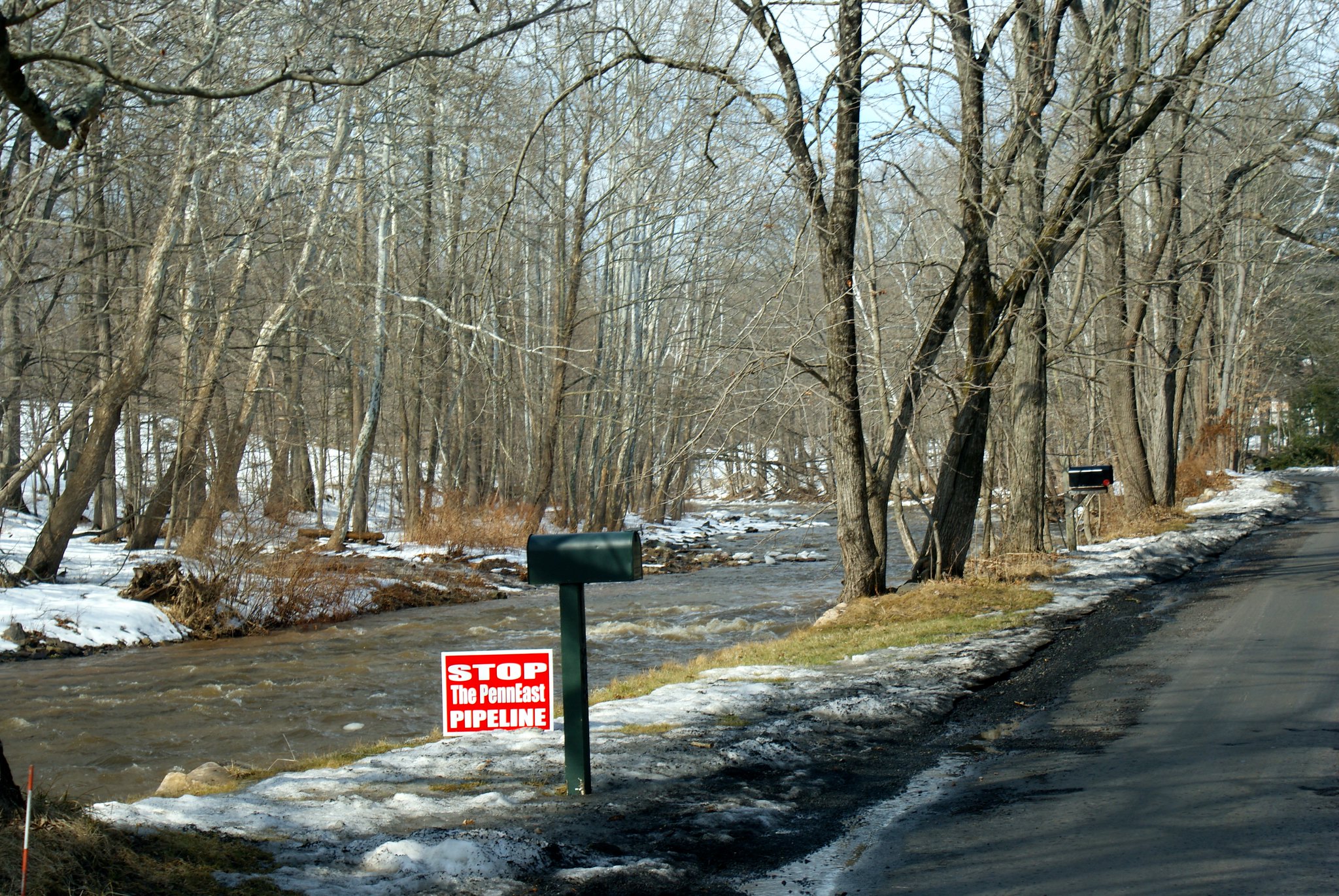
Lower Creek Road Wickecheoke protest sign
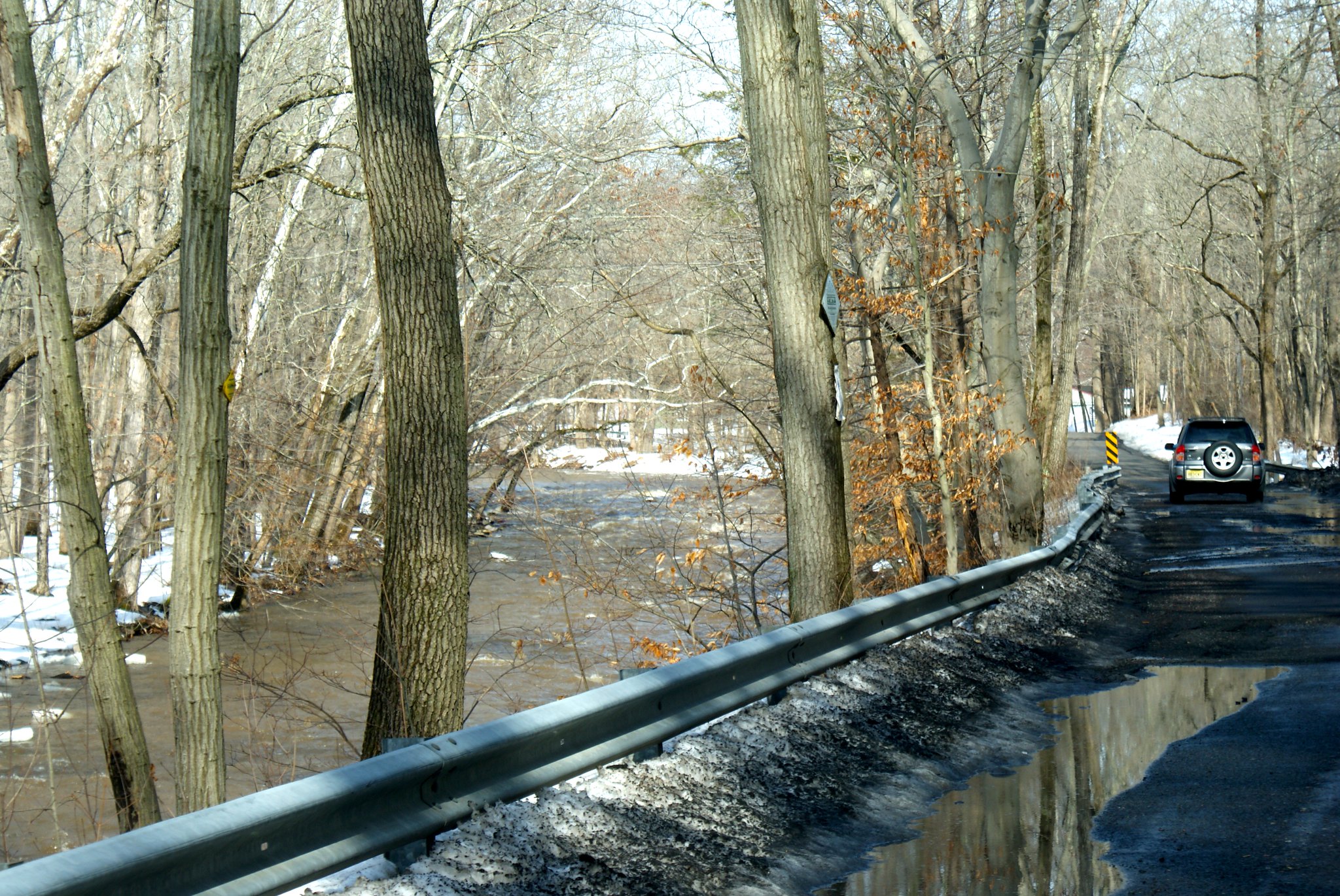
Another protest sign along the creek. I wonder if this area is prone to flooding…

Photographing the pipeline route, Part 6: Delaware Township

Part six takes me into territory I’m less familiar with.  Mostly I only know route 29, and the route 179/202/31 corridors.  All the land in between I’ve only explored minutely.  If I get any names or details wrong please let me know. Also the boundaries between Ringoes and Delaware Township is a bit fuzzy to me and there’s lots of little neighborhoods mixed in for good measure.
Lambertville Headquarters Road
Around Alexauken Creek the power line easement converts from high tension power lines to regular power lines. In many cases the cut looks much smaller as a result, which means PennEast will have to again widen cuts to make room for construction.

Lambertville Headquarters Road second shot
An alternate view of the route. As you can see the cut is fairly narrow here.

Cedar Lane Farm Posted sign
A Posted sign from Cedar Lane Farm adjacent to route.

Brookville Hollow Road sculpture
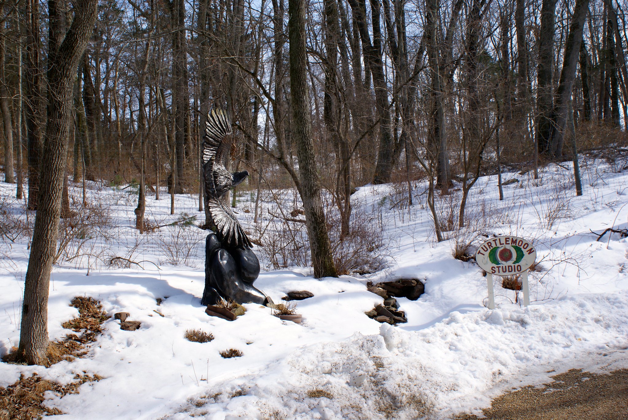
On Brockville Hollow Road I came across the “Turtlemoon Studio” which appears to be adjacent to the pipeline route. They have this simply awesome eagle sculpture at the base of their driveway. Anyone know anything more about them?

Brookville Hollow Road Looking South
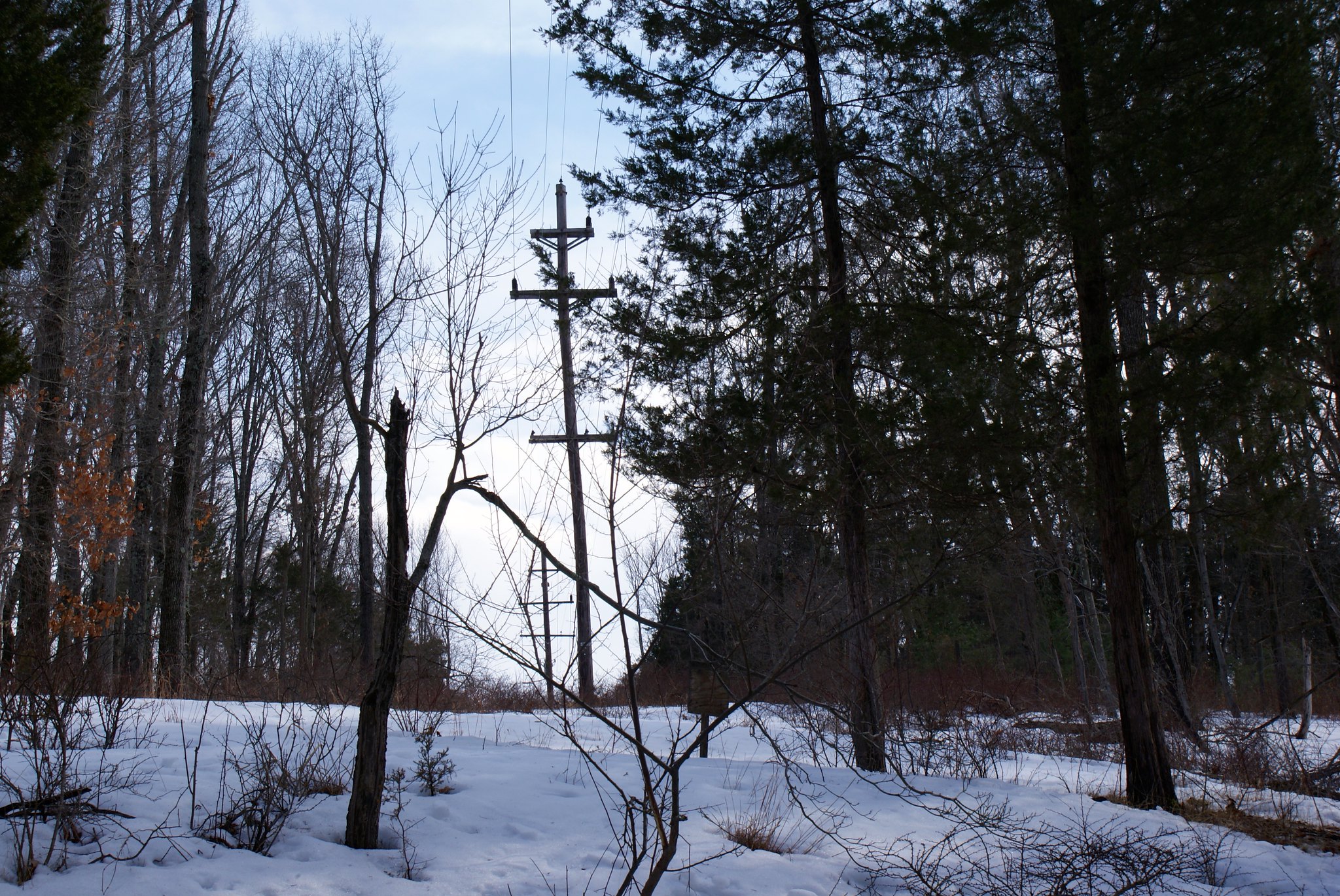
A view of the pipeline route looking south from the road. Another steep slope, and you can see the cut is not sharp like in many places but somewhat over grown and still very narrow.

Brookville Hollow Road Looking South Alternate Angle
An alternate angle of previous shot.

Brookville Hollow Road Looking North
This is the view looking north along the route from the road. There is a beautiful fenced in property here with gorgeous landscaping. The pipeline route appears like it will cut right across their driveway. There’s a small stream right behind this house that the pipeline will also go across.

Sandy Bridge Road Looking south
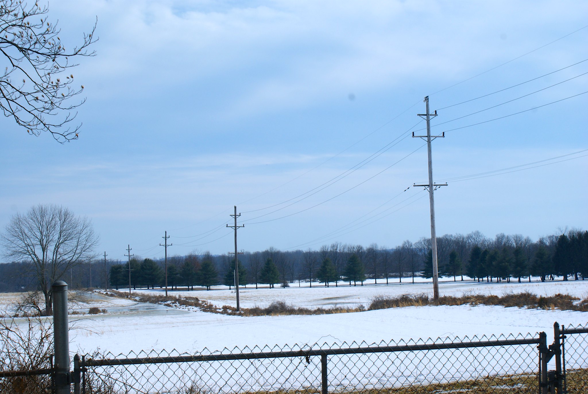
A relatively flat and open section of the route, with the pipeline going through an open field.

Sandy Bridge Road Alternate Shot
Alternate shot of Sandy Bridge Road.

Sandy Bridge Road Anti pipeline sign
A protest sign next to the route.

Sandy Bride Road Looking North
A shot looking north. You can see how little the cut is here too.

Sandy Bridge Road wider shot
A wider shot of the previous one.

Photographing the pipeline route, Part 5: Northern West Amwell, NJ

This portion of the pipeline route goes through the northern part of West Amwell, NJ.

Rocktown Lambertville Road electrical sub-station
The power company has been beefing up the electrical sub-station here. Residents have complained a bit about the constant trucks and construction activity. Now two years later they’ll have to deal with an order of magnitude more headaches when the pipeline construction crew comes in. I also don’t know how good an idea it is to come this close to an electrical sub-station with a steel pipeline. There’s a lot of high voltage very close to the ground here.

Pipeline construction will also cut across the only access road into the sub-station.

This view is looking southward from the road.

Rocktown Lambertville Road sub-station close up
A zoomed in version of the previous shot.

Rocktown Lambertville Road looking northward
A view from the road looking north. As you can see this is somewhat hilly country. In the foreground you see the pipeline will cut right across a person’s driveway. This is “Fair Chase”, a very cool house with unique architecture.

Rocktown Lambertville Road looking north, alternate view
An alternate angle from the prior shot.

Rocktown Lambertville Road, Fair Chase Estate
A view of Fair Chase Estate in relation to the pipeline route. You can see pictures of this stunning home on zillow. I wonder what the pipeline will do to their property values? You can see the house in this shot on the extreme middle-left. There is a small stream in the fold of the land that runs through here that you can’t see that goes behind the house.

Route 179 looking south west
The pipeline route turns here to change direction a bit. The turn is right at the house you see in the picture, so they’ll be within a few hundred feet of the pipeline. Route 179 is another major route into Lambertville.

Route 179 looking south west, closeup
A zoomed in version of the previous shot.

Route 179 looking south west, wide angle
A wider angle view showing more of the route. The route is running all through farmland here.

Route 179 looking north east
Reverse view this time looking to the north east from 179. More farmland. It’s a good thing I have a 4WD pickup, the mud here was really thick and even in 4wd I was worried about getting out!

Alexauken Creek Road
Alexauken Creek is another category 1 stream in the area that the pipeline is going to cross. West Amwell Township has gone to extraordinary lengths to protect this stream as a vital one to the watersheds in the area. You can read the Alexauken Creek Watershed Protection Plan here. During times of heavy rain and snow melt this creek turns into a real beast, as it did when I came through taking pictures. Over 600+ acres of land around it has been preserved as the Alexauken Creek Wildlife Management Area.

This is a really important water way. So of course the PennEast pipeline will be going right through it in some very hilly areas.

This picture is of the “Titus Property”, land that’s been permanently preserved. The pipeline is running just a few hundred yards from this property.

Alexauken Creek Road, closeup
A zoom in of the previous shot.

Photographing the pipeline route, Part 4: West Amwell, NJ

Part four of the pipeline route series is back in West Amwell, NJ.  Pictures here are from Woodens Lane, Old Route 518 West, and route 518.  This section highlights where the pipeline route comes within a couple of hundred feet of Lambertville’s primary water supply, the Swan Creek Reservoir.

Wooden’s Lane, Joint Protected Land
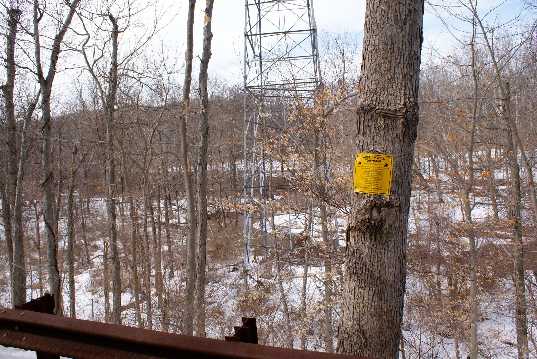
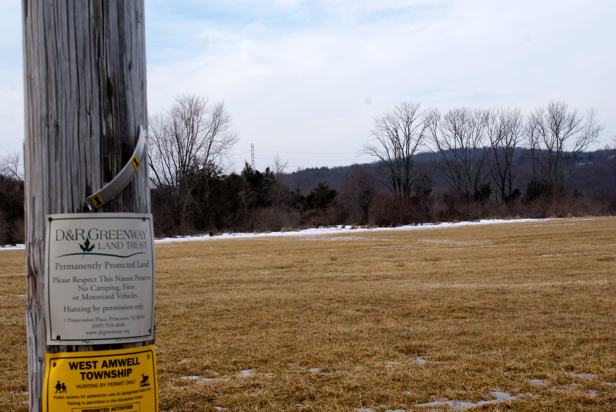
This shot shows land that was protected just last year as a joint effort between West Amwell Township and the D&R Greenway Land Trust. This is 43 acres of farmland and woods that was supposed to be protected in perpetuity. The pipeline route is coming very close to this parcel, you can see the electrical towers where the pipeline will be in the upper right. It took eight years to get this land protected, and a slight variation of the pipeline route could end up going through it. You can read more about the conservation effort here. There are several other protected parcels in this area as well.

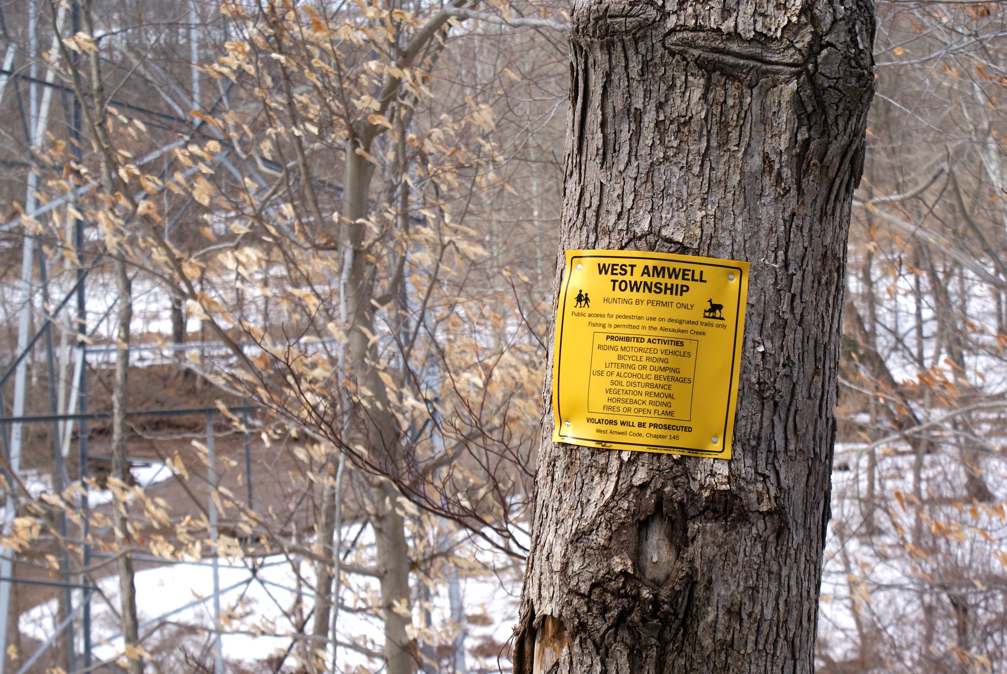
You can see the long list of prohibited activities on the West Amwell sign, including prohibitions on removing soil and vegetation from anywhere on the land. I guess PennEast will just cross through those portions of the sign if they come through.

Woodens Lane, zoom in on towers
A zoomed in shot showing the towers more clearly.
Woodens Lane, more of Goat Hill
A slightly different angle showing more of the ridge on Goat Hill. Our house is up there on the ridge.

Route 518, United Water site
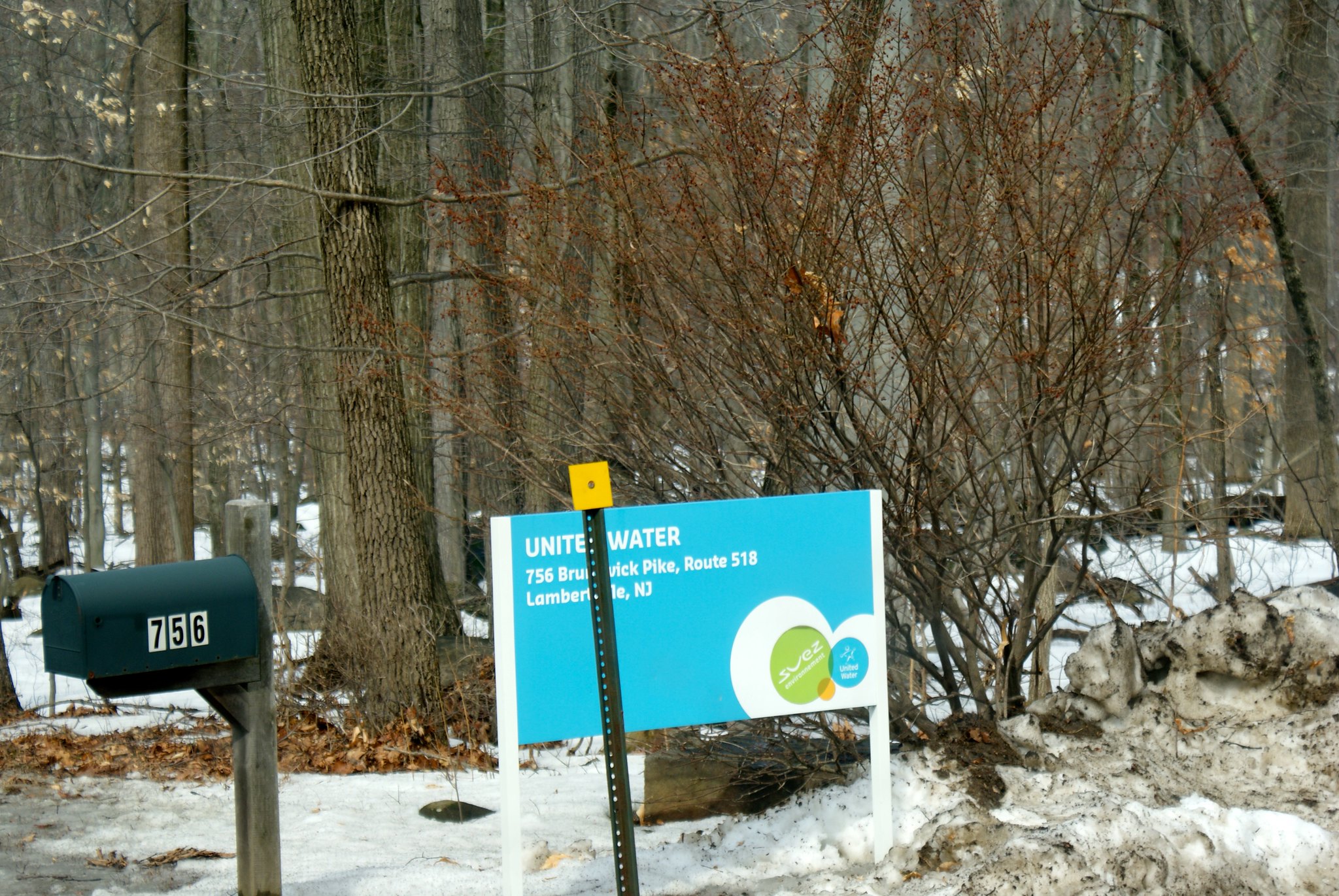
Just off of route 518 going into Lambertville, NJ is the Swan Creek Reservoir, owned and operated by the United Water company. This is the primary water supply for Lambertville. The pipeline route goes within a couple of hundred feet of the reservoir in very hilly and steep terrain.
Route 518, United Water site reservoir
A picture of the reservoir. Sorry it’s a bit hard to see with all the trees. The horizontal line demarks the edge of the reservoir and has spillway controls for when they need to dump water into Swan Creek below it.
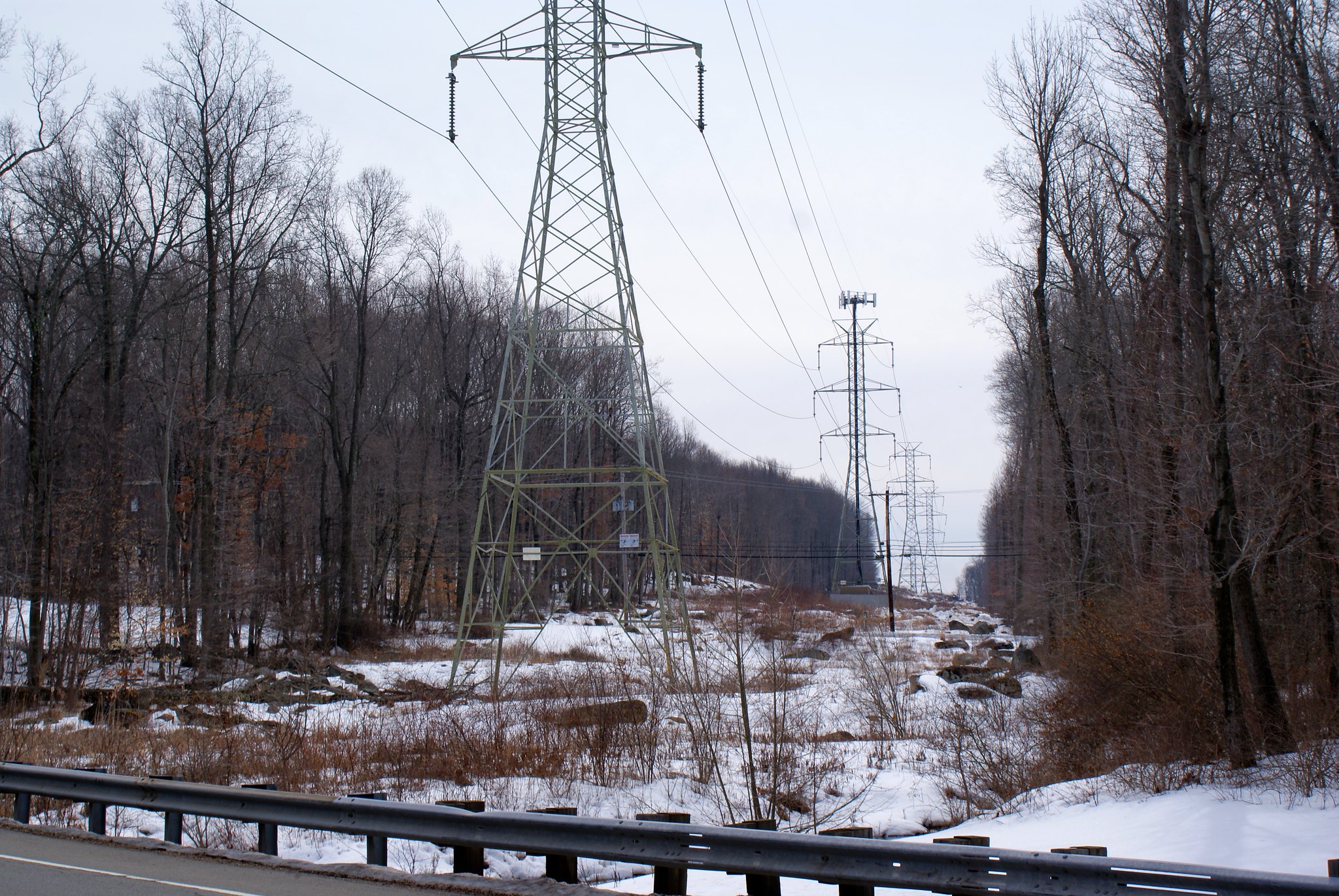
Route 518, looking south along pipeline route
This shot is looking southwards along the power line easement. As you can see the towers are really big, and the cut is going to have to be widened significantly for the pipeline to run next to it. Notice all of the boulders around here, In this area the diabase bedrock is right at the surface and there is no soil at all.

518 also a major thorough fare in the area, one of the main arteries leading into Lambertville city. Traffic is going to be a nightmare when they close this for construction.
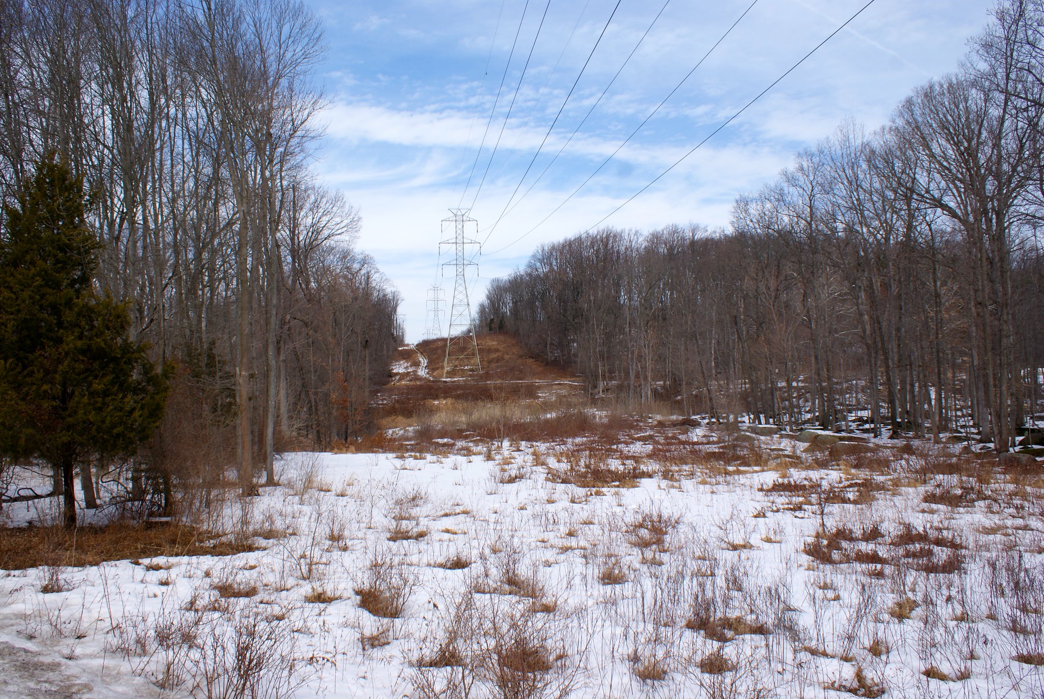
Route 518, looking north along pipeline route
The reverse view of the above, this is looking northward along the route. You can clearly see the power company’s service road on the left of the towers. To the right is the Swan Creek Reservoir (just out of the shot). If they go left for the pipeline they’ll have to move the service road or cut a full 100′ more to accommodate construction. Otherwise they’d have to move the service road to the right, which might also require more cuts to that side. But that side also has the reservoir, so I see no good choices here.

Oh and of course this route is quite steep. Runoff is going to be terrible the more they widen.
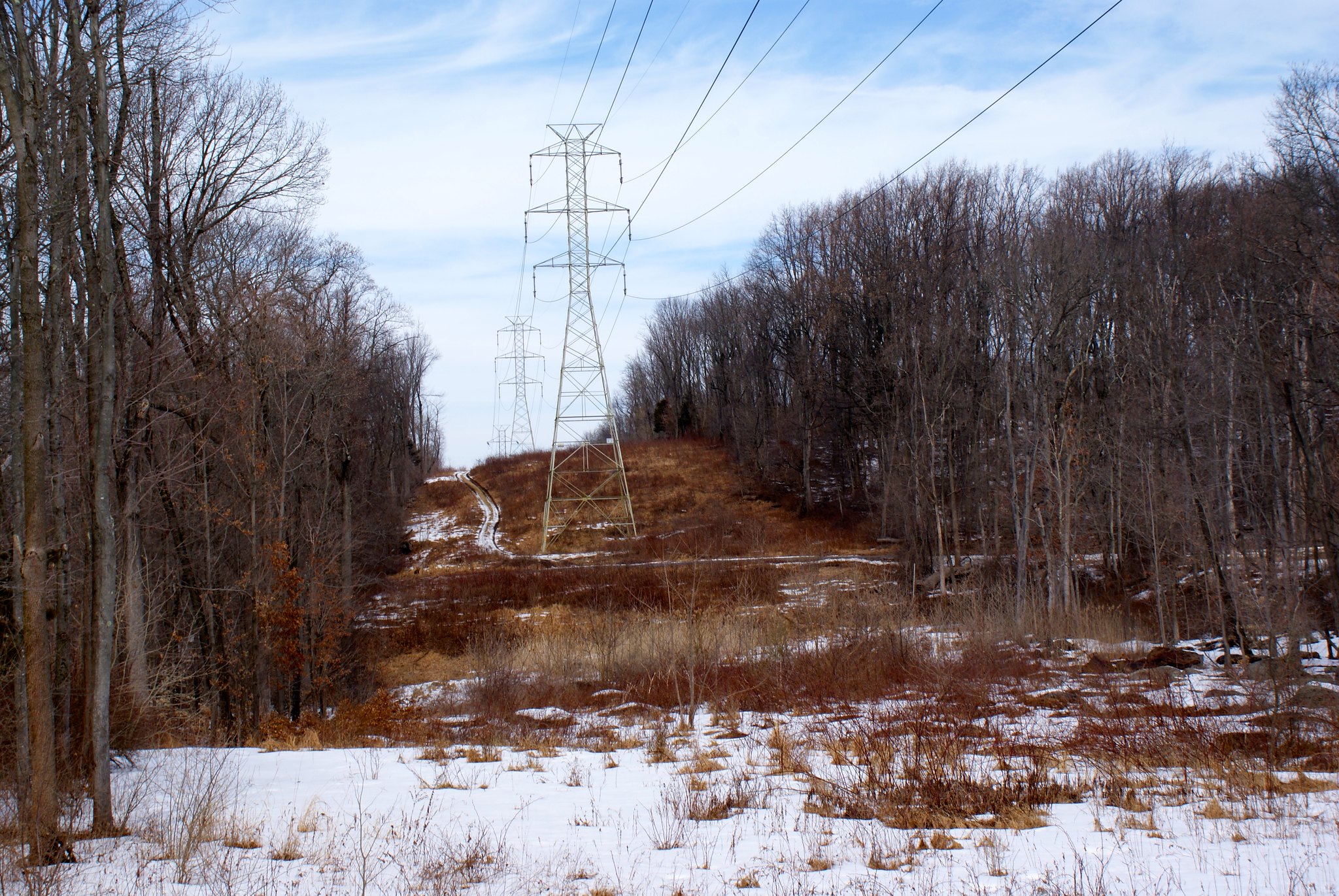
Route 518, closeup of previous shot
The same as the previous shot but zoomed in.

A wider angle looking south. You can see the small stream to the right that runs along and crosses the route here.
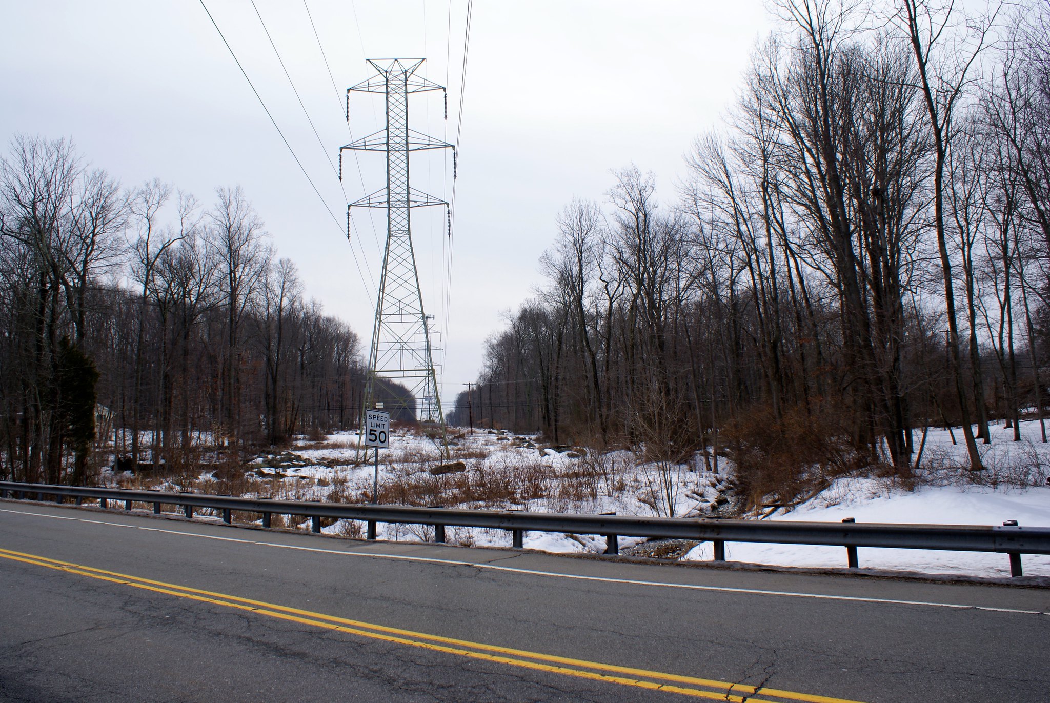
Route 518, looking north, different angle
Another shot to the north. I took this shot to show how the power line towers are perfectly centered in the easement. This is true of the whole area where there high voltage towers. This means PennEast will make this big ugly scar in the country side even wider, making it uglier, run off worse, invasive species more of a problem, and further impacting wild life.

Route 518, looking southward zoomed
A zoomed-in shot to the south with the towers centered. The regular power lines you see running across the view are Old Route 518 West.

Old Route 518 West, looking northward
Old route 518 runs a couple hundred feet to the south of Route 518 and parallels it. You can see a car on route 518 in this shot.

Old Route 518 West looking southward
The southern view from Old Route 518. This is right next to the electrical service road on the right of the shot. You can see more boulders here. Again, if they’re going to preserve the service road they’ll have to run the pipeline on the left and severely widen the cut. Diabase is very shallow or at the surface here so intensive techniques including blasting will have to be used. Slopes here are modest but still a concern.
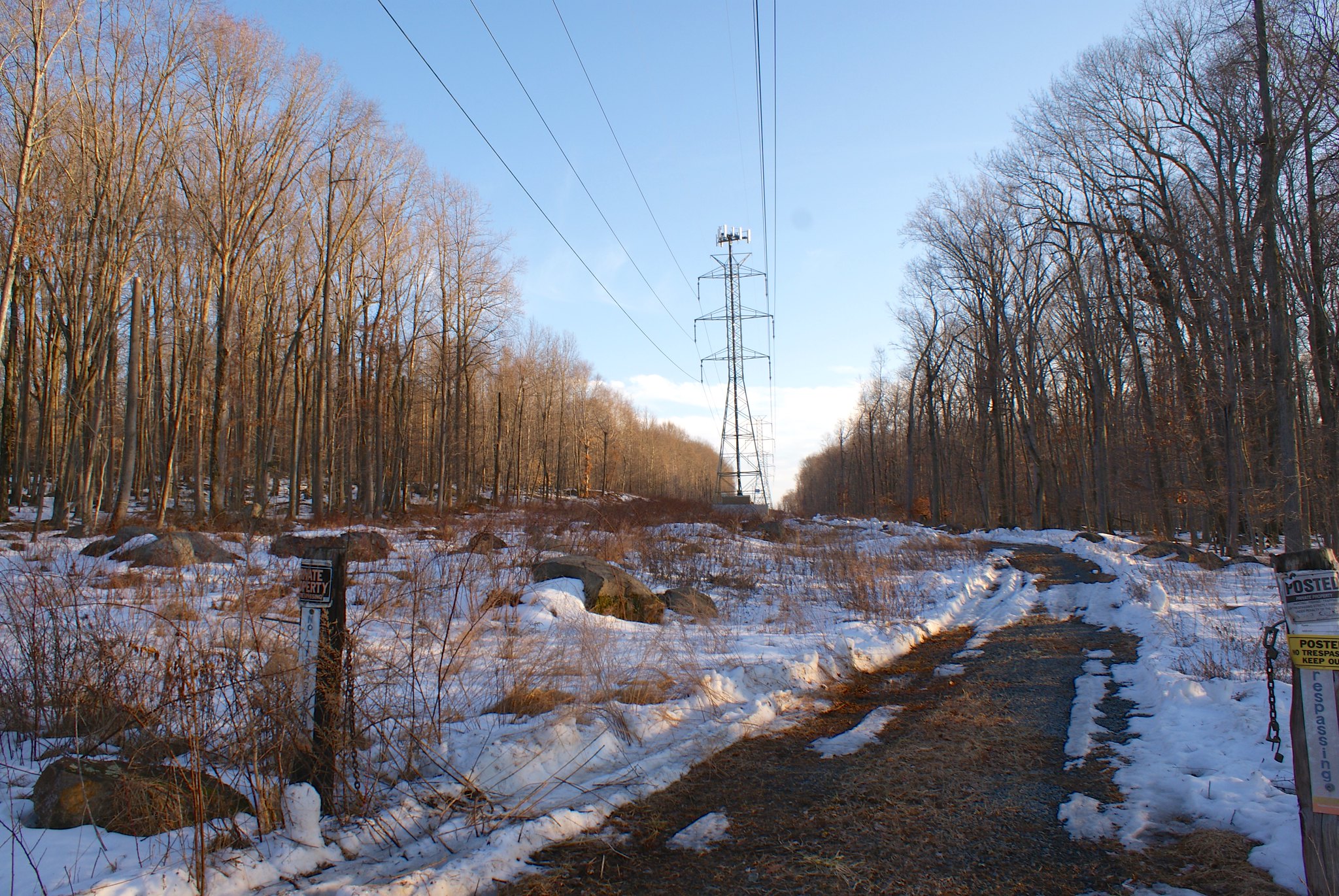
Old Route 518 West, looking southward
Slightly different angle of previous shot.
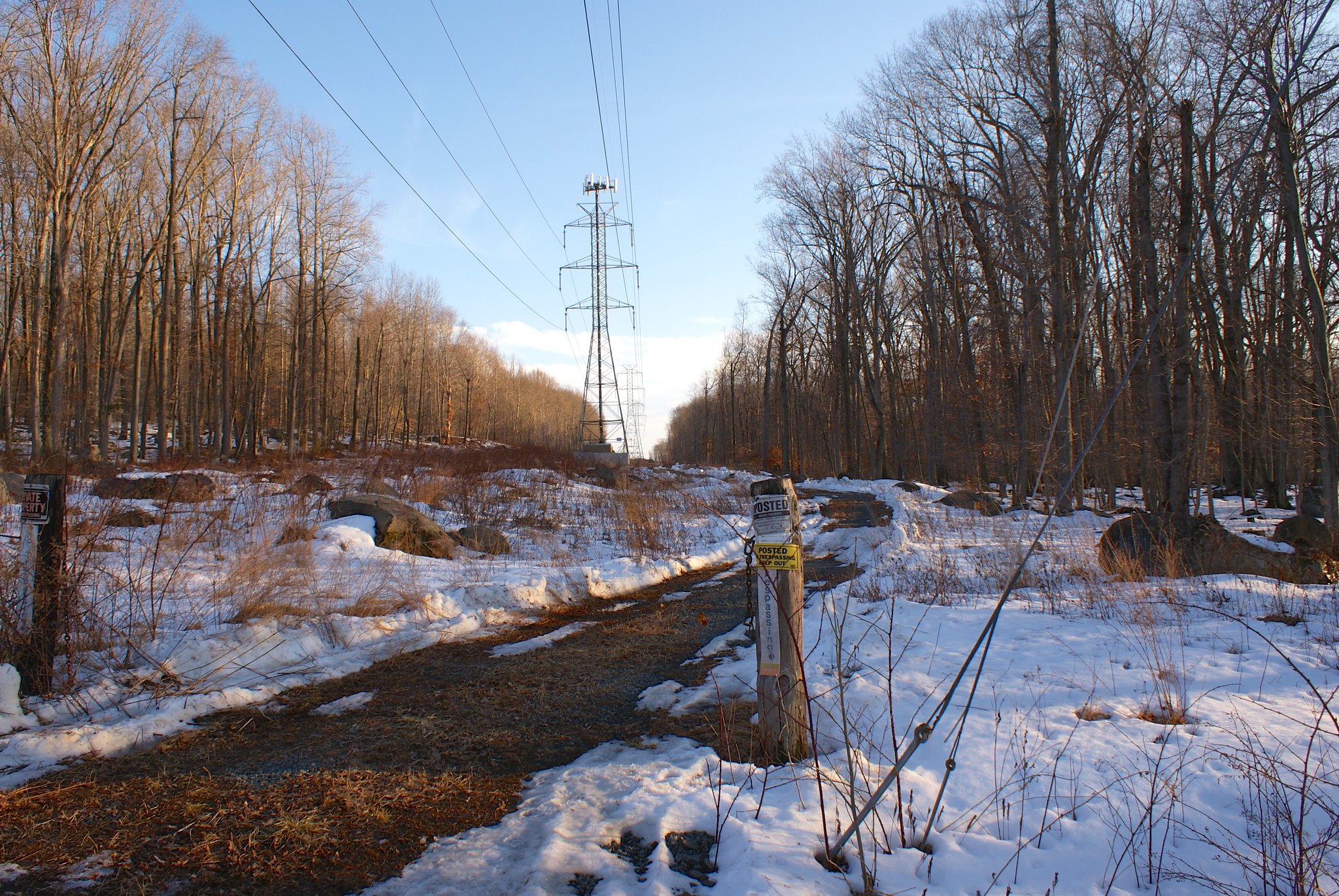
Old Route 518 West, looking southward. No trespassing!
Lots of different no trespassing signs here 🙂